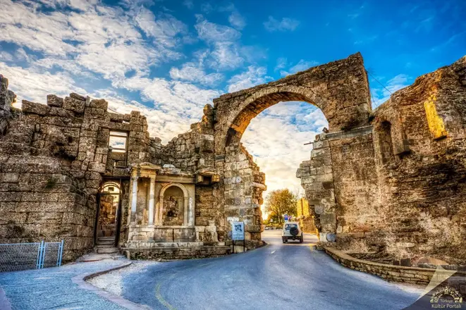
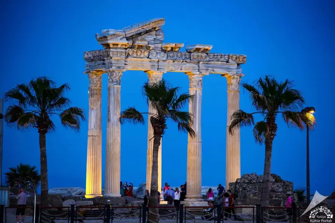
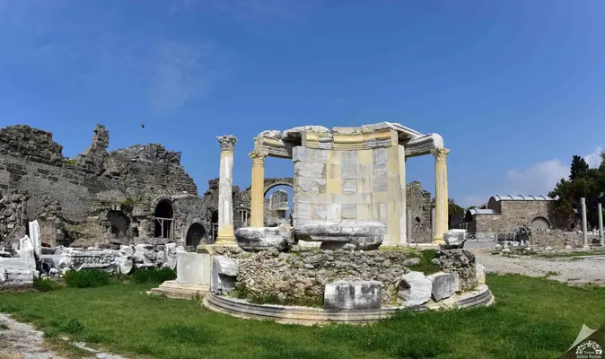
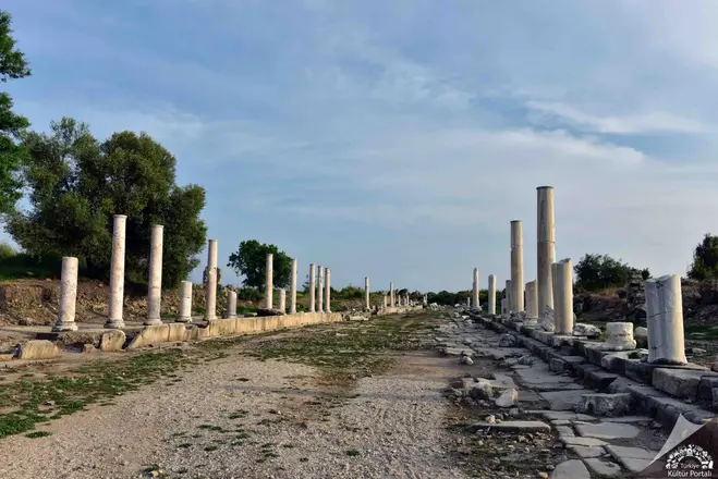
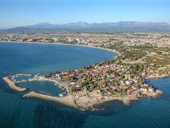
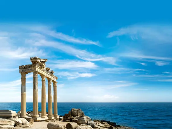
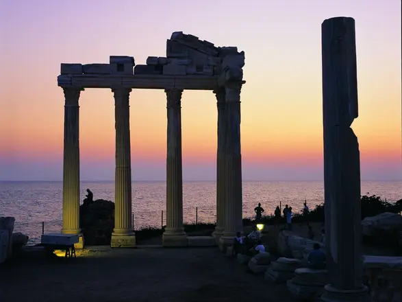
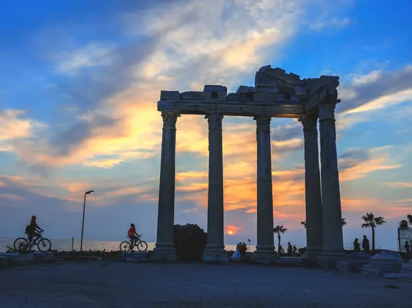
Side, the most important port city of Pamphylia in ancient times, was built on a 350-400 meter wide peninsula located 80 kilometers east of Antalya and 7 kilometers southwest of Manavgat.
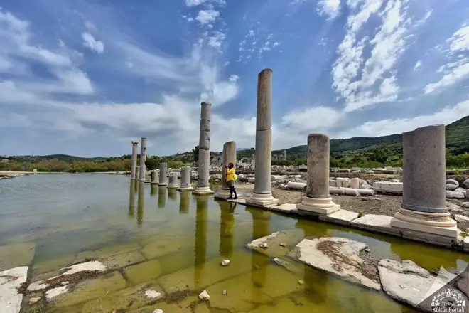
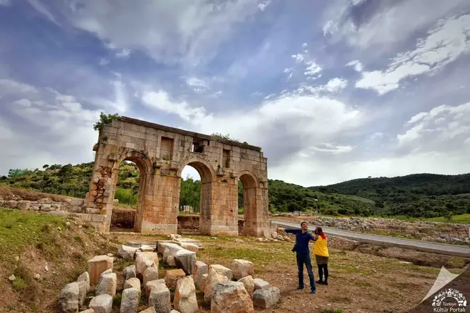
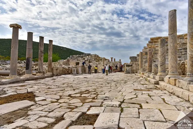
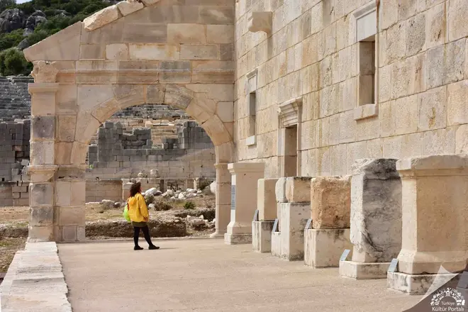
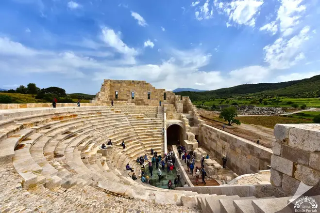
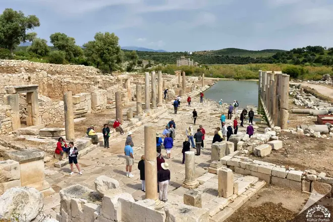
Located at the southwestern end of the Xanthos Valley between Fethiye and Kalkan, in today's Gelemiş Village, the ancient city of Patara is one of the most important and oldest cities of Lycia. Excavated since 1988, Patara Ancient City has a special importance not only for its archaeological and historical values, but also for being one of the rare beaches where Caretta-Caretta, the Mediterranean turtles, lay their eggs and breed for millions of years.
History of Patara Ancient City
In Hittite texts from the 13th century BC, the name of the city is mentioned as Patar. While the ceramic sherds found in the Acropolis of Tepecik contain Middle Bronze Age features, the stone axe belonging to the pre-Iron Age, which was unearthed on the skirts of the eastern slope of Tepecik, shows how far back the history of Patara goes. Patara, which has continued to be an important city throughout history as it is the only place in the Xanthos Valley that can open to the sea, is called Patara in Lycian language in inscriptions and coins.
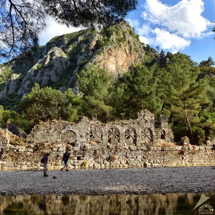
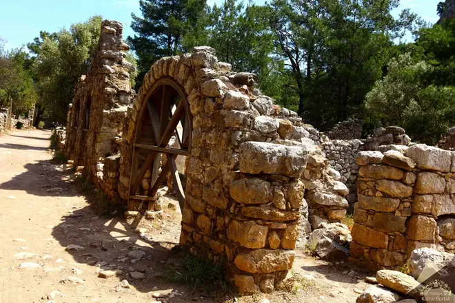
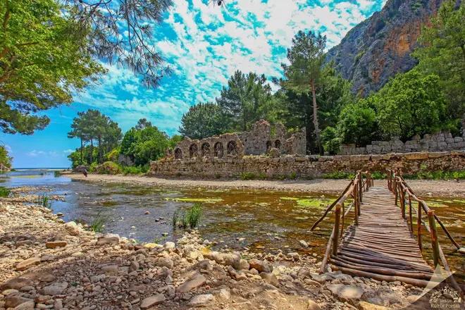
Olympos is the second most important port city after Phaselis on the southern coast of Antalya. The city takes its name from the 2,375 meter high Mount Tahtalı, one of the western extensions of the Taurus Mountains, 16 kilometers north of the city. It is within the Beydağları-Olympos National Park. Although the exact date of its foundation is unknown, Olympos, mentioned in the coins of the Lycian League minted in 167-168 BC, is one of the six cities with three voting rights in the Lycian League.
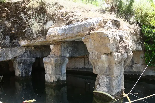
Together they represented the birth of Lycia. Most of the ruins of the city that have survived to the present day are covered with trees and bushes in the forest and belong to the Hellenistic, Roman and Byzantine periods. The surviving ruins of Olympus are generally located at the mouth and on both sides of a river that flows rapidly from east to west towards the sea. In the ancient period, the river bed dividing the city into two parts was enclosed in a canal and both sides were connected by a bridge using it as a pier. Today, one leg of the bridge is still standing.
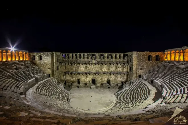
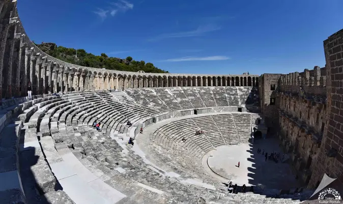
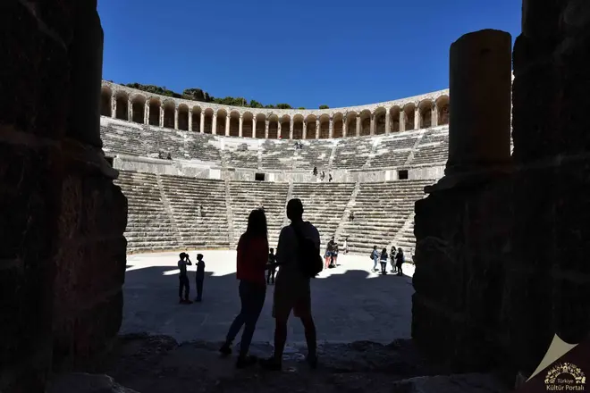
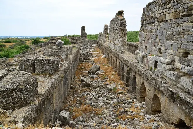
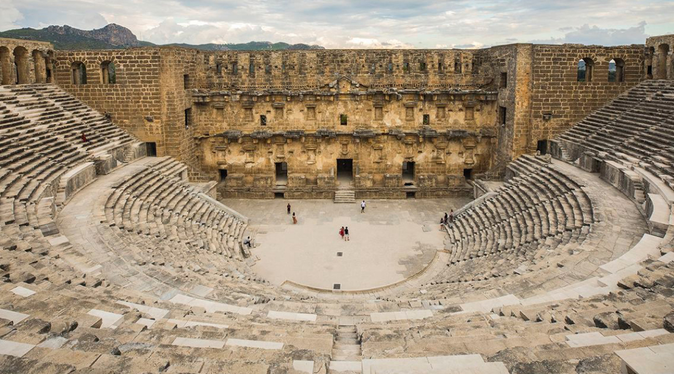
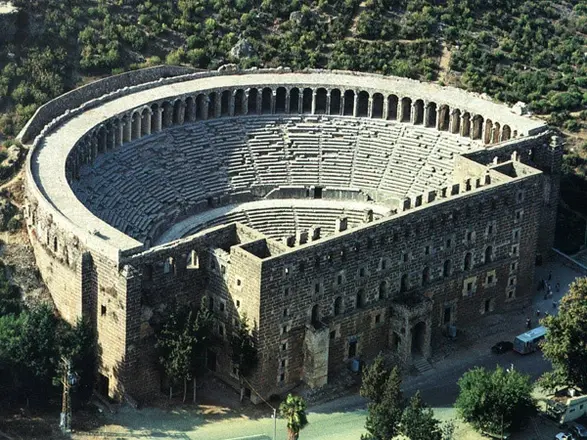
Located on the 2nd kilometer of the road turning north from the 44th kilometer of the Antalya - Alanya highway, Aspendos is famous for having the best preserved Roman theater not only in Anatolia but in the whole Mediterranean world. The city was founded on a hill plain near Köprüçay (Ancient Eurymedon), one of the largest rivers in the region. Aspendos owed its access to the Mediterranean Sea and its development to the nearby river and thus to the fertile land around it. Today, the theater and the waterways are mostly visited. The remains of other buildings of the city are located on the plain of the hill where the theater was located.
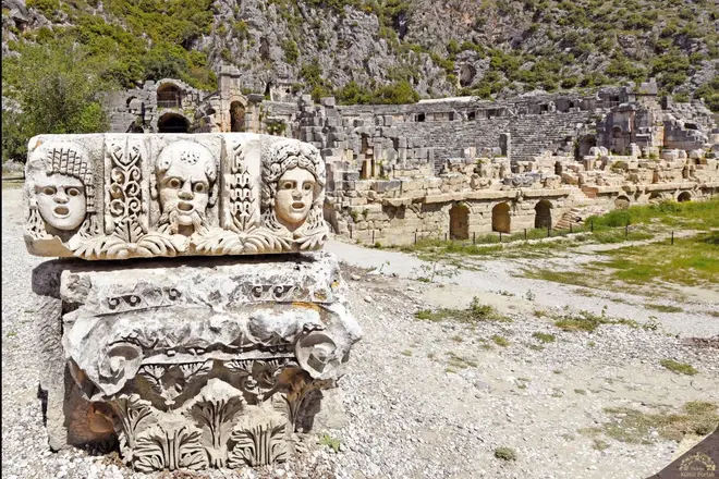
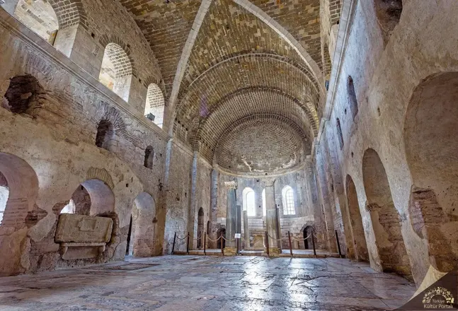
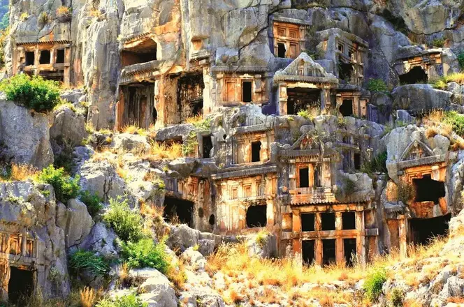
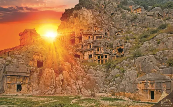
The ancient city of Myra, located in and around today's Demre district center, was founded on the plain of the same name. The city's connection with the sea was provided by the transportation channel (Demre Stream) to the west of the Myros River. The maritime transportation and trade of the region was carried out from Andriake (Çayağzı) Harbor on the other side of the canal. The ancient city of Myra is especially famous for its Lycian rock tombs, Roman theater and Byzantine St. Nicholas Church (Santa Claus).
Rock tombs, Lycian
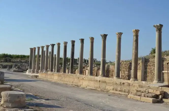
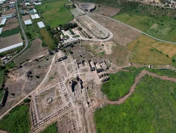
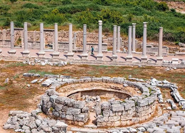
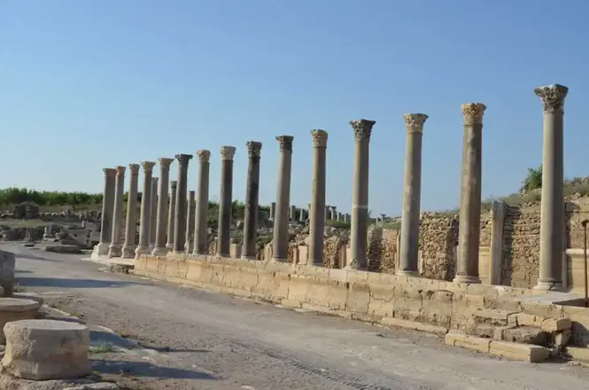
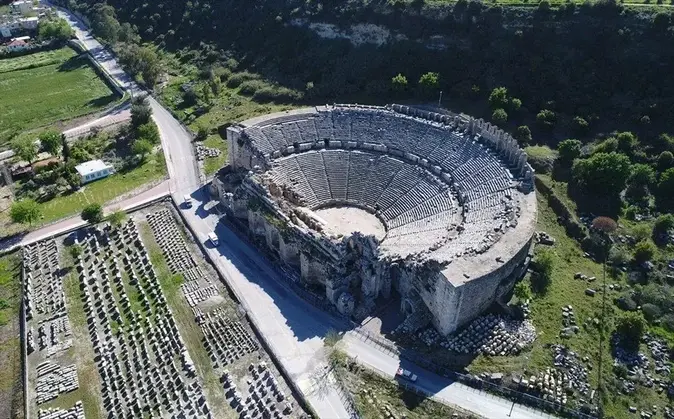
Perge Ancient City is located in Aksu district, 17 kilometers east of Antalya city center. The city, which is thought to have existed during the Hittite Period and known as "Parha", became one of the most organized cities of Anatolia during the Roman Period. The sculptures unearthed during excavations in the ancient city, famous for its architecture and marble sculpture, have made the Antalya Museum one of the most important sculpture museums.
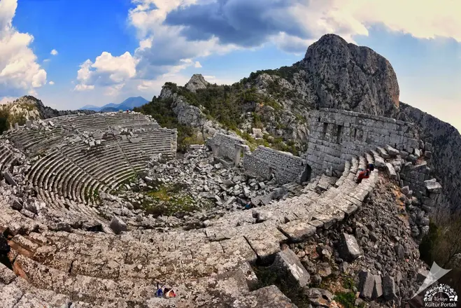
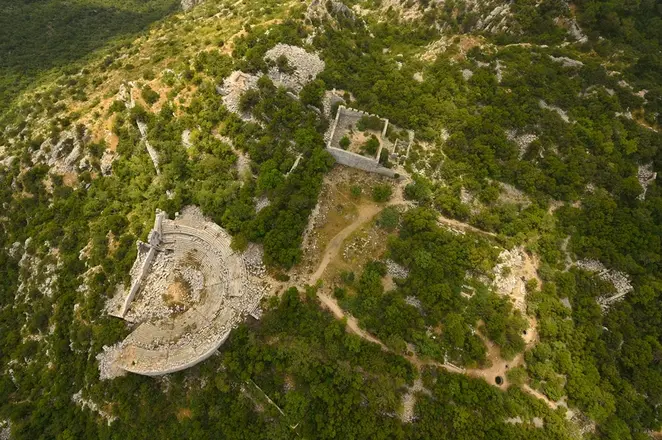
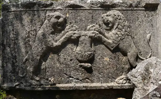
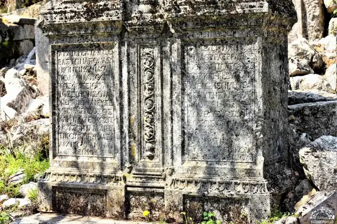
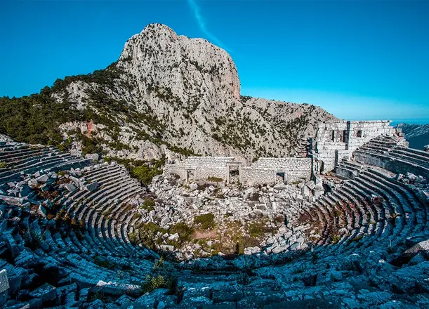
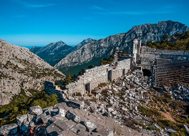
Termessos is an important ancient city founded by the Solyms, descendants of the Luwians, one of the oldest peoples of Anatolia, in the valley between the peaks of Mount Solymos, which today bears the name "Güllük". In the pages of history; Alexander the Great besieged the city in 333 BC and the Termessians did not surrender the city by making a strong defense.
The ancient city is one of the most striking of the ruins protected in the forest and is located in the national park of the same name. The Gulluk Mountain (Termessos) National Park is a botanical and open zoo with rich vegetation and wildlife, including endangered species.
The ruins of the city start from the Hellenistic city wall near Yenicekahve on the Antalya-Korkuteli highway and continue to the top of Güllük Mountain. If you follow the road up to the city after the parking lot, you will see the steps and the monumental entrance of the Ionian Temple built during the reign of Emperor Hadrian on the right. Climbing further to the south, in the area of the lower city walls and the water bay, you will come to the gymnasium on the left, the first floor of which is partially preserved. To the southwest of the building, which consists of many rooms and halls, is a colonnaded street with shops behind it. In addition to the canals, which show the perfection of the sewage system, important structures of the period such as the theater, the baths, the agora, the assembly building, many tombs, many cisterns, the founder's house, the temple can still be seen.
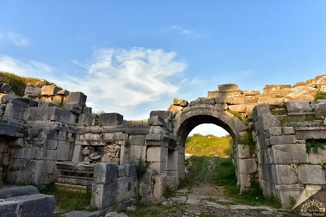
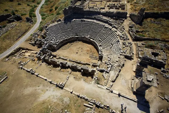
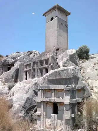
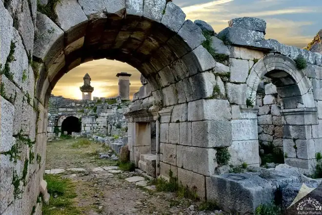
Located in the town of Kınık on the Fethiye-Kaş highway, 46 kilometers from Fethiye, the city was built on two hills overlooking the plain on the banks of the Xanthos River (Eşen Stream). The first of these is the walled Lycian Acropolis rising as a steep cliff from the edge of the Eşen Stream, and the second is the higher and wider Roman Acropolis to the north. The name of Xanthos, which is described as the administrative center of the Lycian Union, is mentioned as ARNNA in the inscriptions written in Lycian language. Homer tells that the Xanthosians under Sarpedon participated in the Trojan wars. However, the finds from the excavations do not allow us to date the settlement of the city before the 8th century BC.
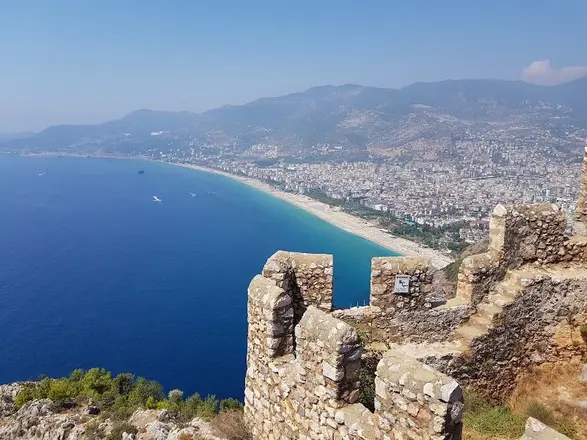
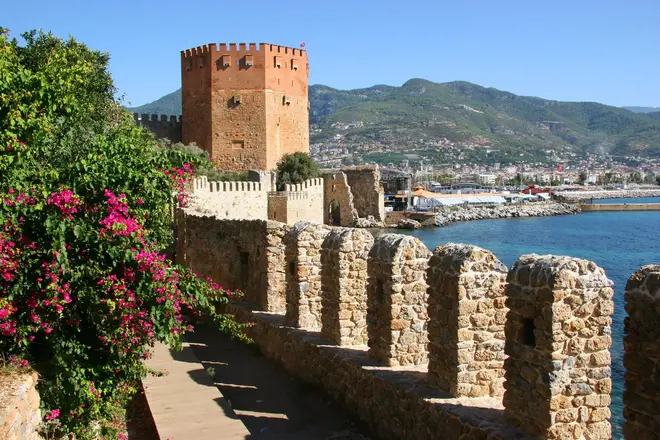
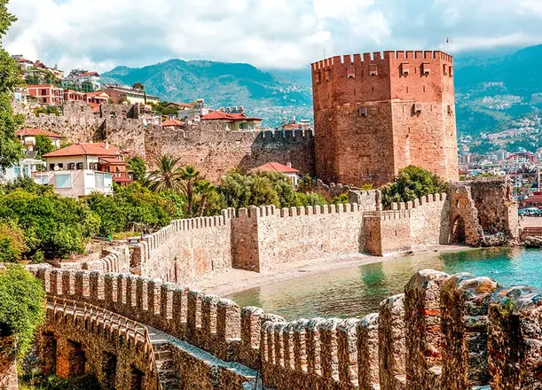
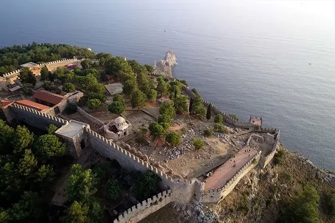
Alanya Castle, which has been uninterruptedly inhabited throughout its history due to its difficult accessibility by sea and land and its natural protection, is one of the best preserved and best maintained of the hundreds of castles that adorn Anatolia. With its 6.5 kilometers of walls, it is like a shining jewel on the neck of the historic peninsula where it is located. Although the first settlement dates back to the Hellenistic period, it was during the Anatolian Seljuk period that it took the form of a monumental castle in all its glory.
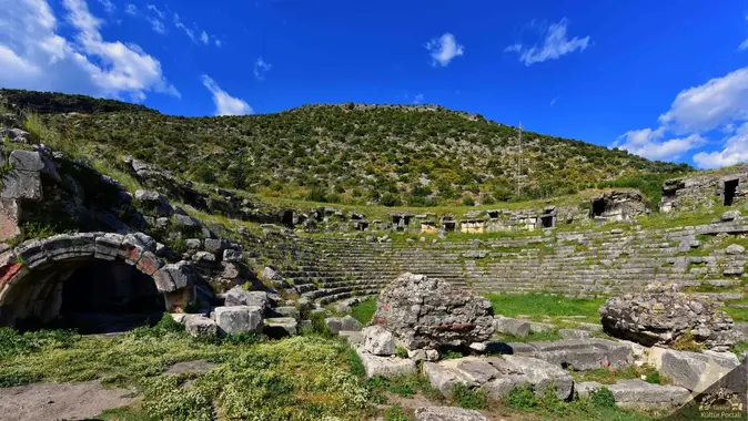
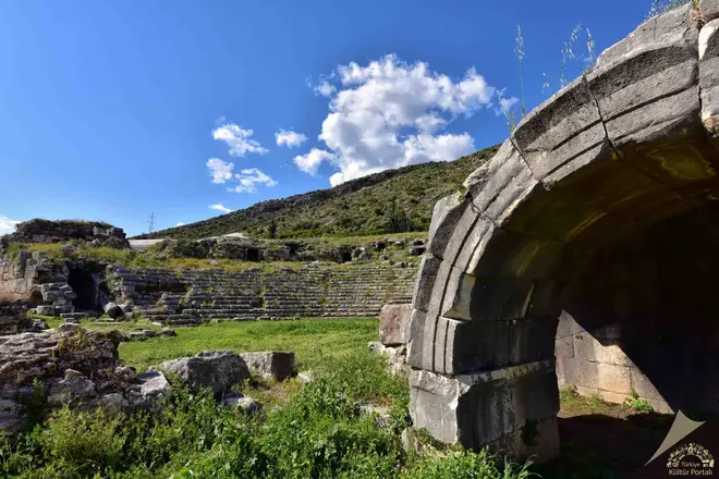
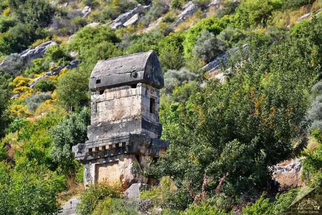
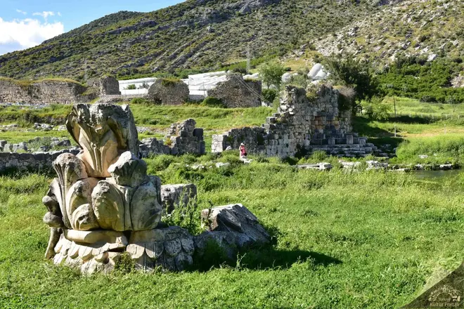
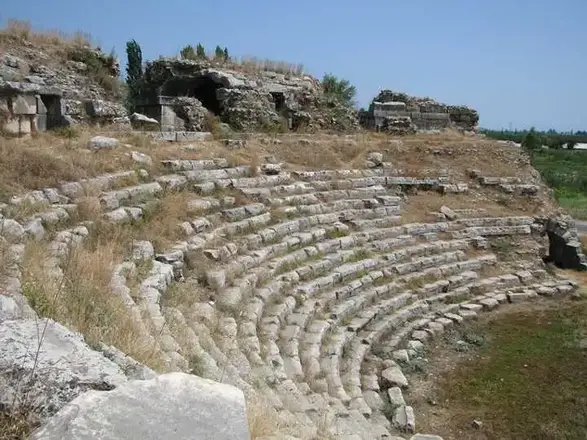
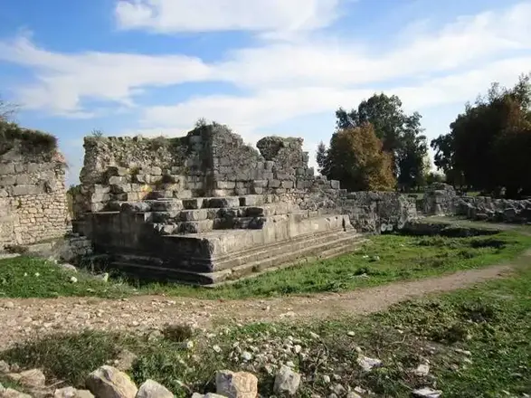
Limyra Ancient City, located on the borders of Turunçova and Sahilkent Towns in Finike District of Antalya Province, covers the area on the southern slopes of Toçak Mountain, consisting of an acropolis consisting mostly of early buildings and the area immediately south of it, which is now separated by a highway, within the Roman and Byzantine Age walls. The name of Limyra is mentioned as "Zemuri" in Lycian inscriptions. This proves that the city was inhabited at least since the 5th century BC. The most active period of the city was in the first half of the 4th century BC when Limyra became the capital of Lycia during the reign of Lycian King Pericle. It is understood from the historical records of the region that during the years when Perikle tried to establish the Lycian Union and expand his sovereignty, Persian sovereignty was in question, but this sovereignty remained only in words and Limyra, like other cities, remained in great freedom.
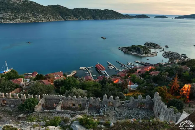
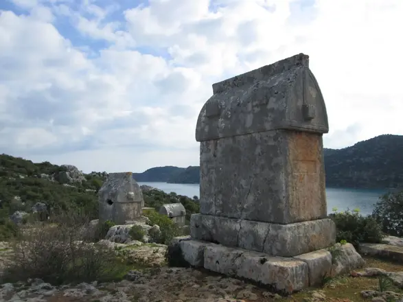
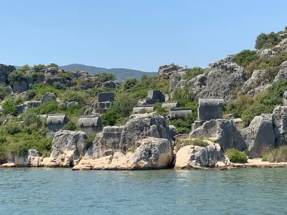
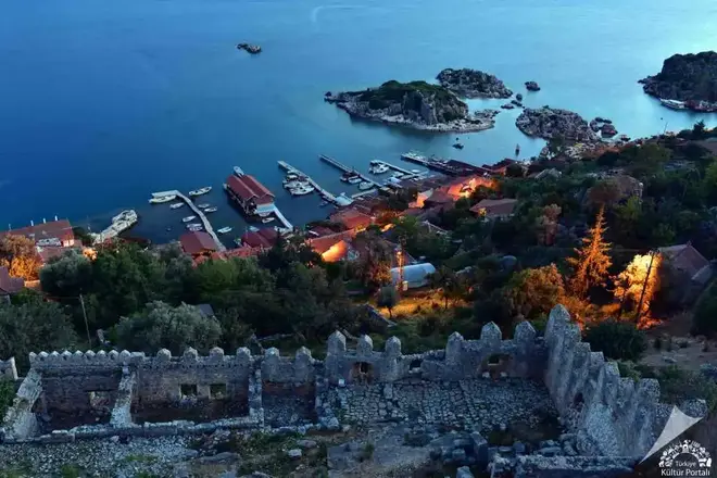
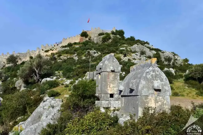
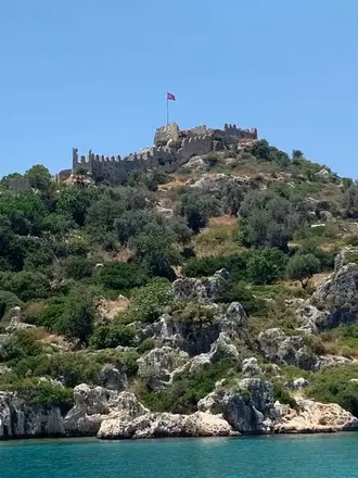
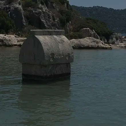
Ancient Simena, now known as Kaleköy, is a small Lycian coastal town and a strategic point that has been inhabited from the 4th century BC to the present day. The most vivid reflection of this feature is the castle that has remained intact until today, from where it is possible to observe the most excellent views of Kekova and its surroundings. Simena is one of the rare settlements in Turkey that can only be reached by sea. The ancient city of Simena, which is located within the Kekova Special Environmental Protection Area, which covers an area of 260 square kilometers, is registered as a first class archaeological site.
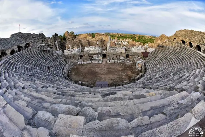
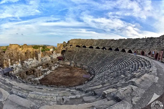
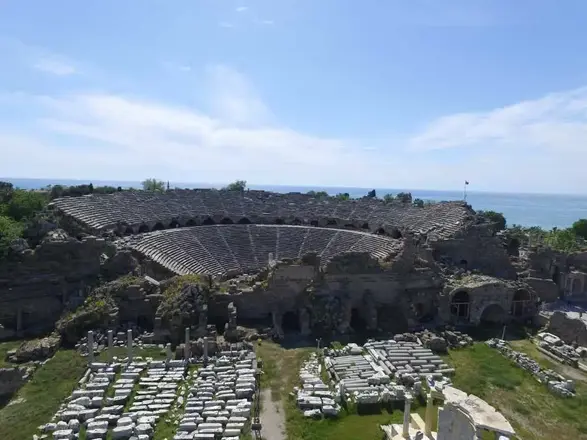
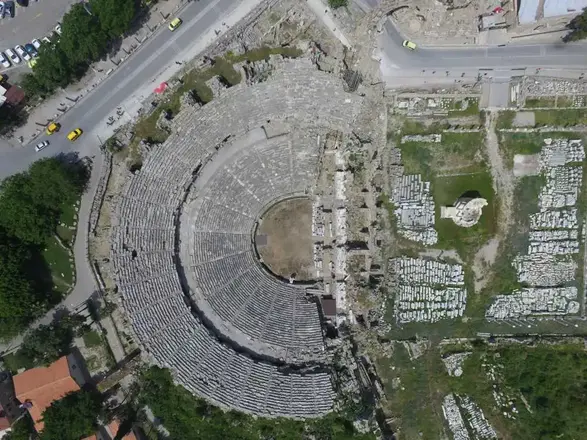
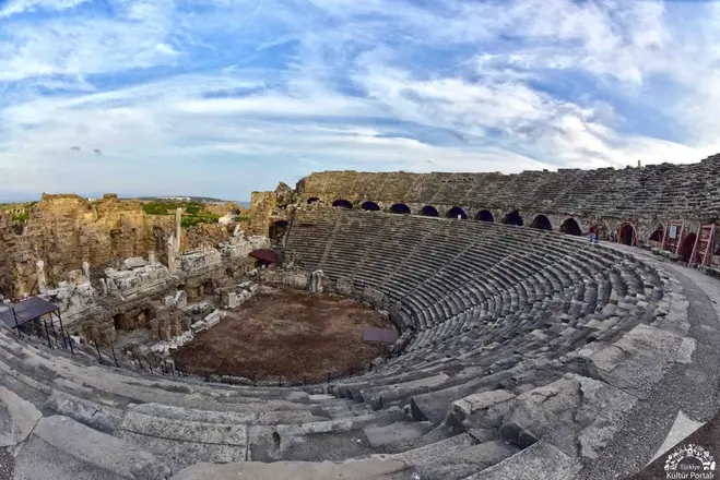
The Ancient Theatre of Side is located in the narrowing of the peninsula where the ancient city of Side is situated, and in the centre of the city. It has not yet been proven that the theatre is a pioneer building of the Hellenistic period. Although the plan of the building is in the Hellenistic tradition with a semicircular shape, the construction technique is in the Roman architectural tradition.
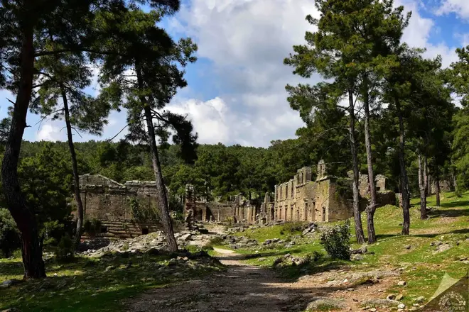
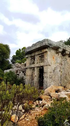
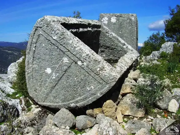
The ancient city of Lyrbe, a Pamphylian city, is located near the Bucakşeyhler quarter of Manavgat district. The city, which seems to be hidden among pine trees, is built on a hill that extends from the forest to the south; from here you can see a wonderful view of the Oymapınar Dam.
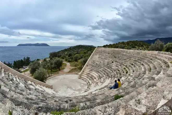
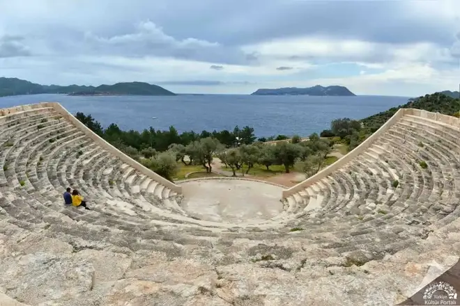
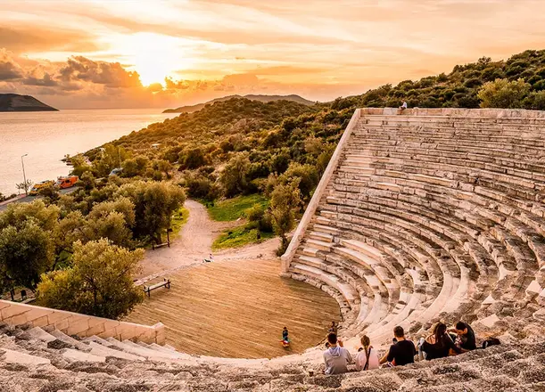
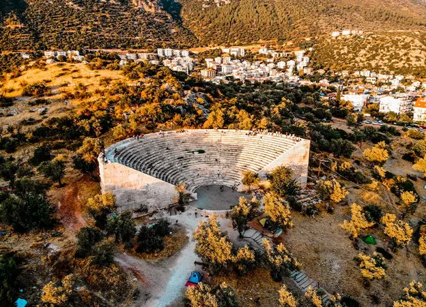
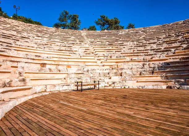
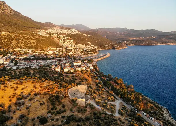
Antiphellos, known as Habesos or Habesha in the Lycian language, is one of the ancient settlements of the Lycian region. The city, which later took the name Antiphellos, means "the place opposite the rocky place", "opposite Phellos". It was one of the member cities of the Lycian Union and is known to have been the port of the city of Phellos to the north and to have existed since the 6th century BC. In the Hellenistic period, commercial ventures became more important and Antiphellos developed more rapidly in response to the decline of the main city, Phellos, and became an important port during the Roman Empire.
From the middle of the 2nd century BC, Antiphellos was recognised as a commercial city, although it was restricted to a single vote in the Lycian Union, both with its own coins and those issued on behalf of the Union. The ruins of the ancient city within the district of Kas continue around the district and along the peninsula in an east-west direction. At the beginning of the peninsula and on the side facing the island of Meis, the remains of the Hellenistic city wall can be seen. To the south-east of the church, now a mosque, where the walls face the harbor, there are the remains of a temple with an unknown temenos to which god it belongs. The temenos of the temple was built in rectangular masonry. The original structure dates from the 1st century BC and the later addition from the 3rd century AD.
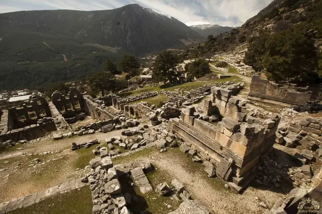
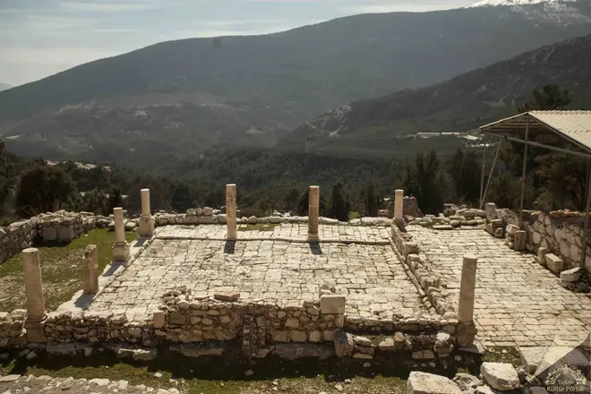
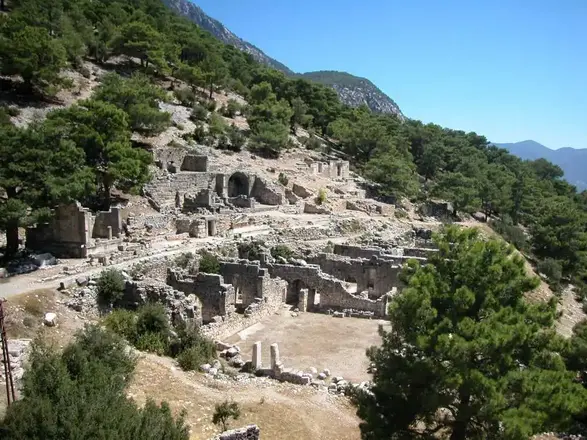
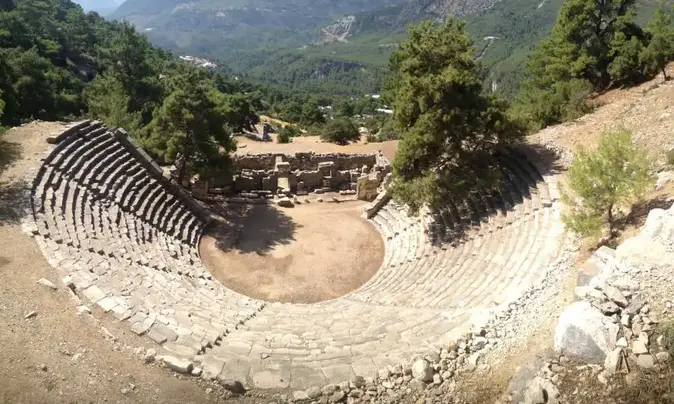
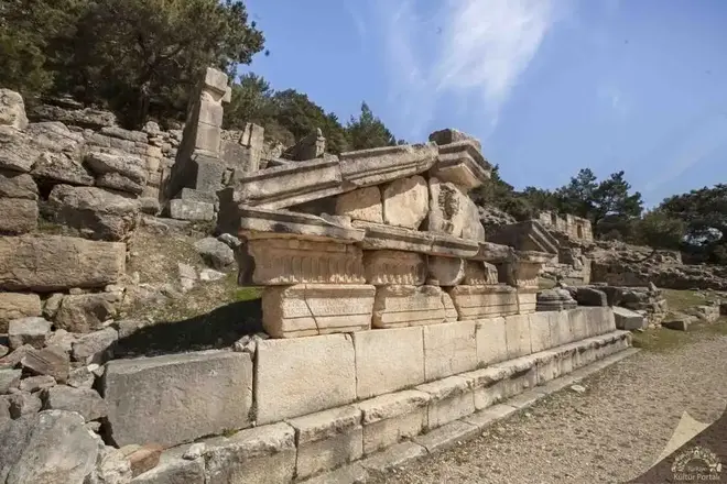
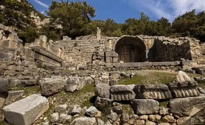
The name of the ancient city of Arykanda, located within the boundaries of the village of Arif in the Finike district of Antalya province, means "Ary-ka-wanda", "the place by the high rock" in the Lycian language. The fact that the name of the city reflects the native Anatolian language philologically shows that it is one of the oldest cities in the region. In addition to Arykanda, Late Chalcolithic/Early Bronze Age axes found in Limyra and Patara in recent years indicate that the region was intensively settled. However, it is difficult to date the city before the 5th century BC on the basis of the finds, except for the stone axe dated to the 2nd millennium BC. Coins of the local lords Kuprili and Aquwami from the 5th century BC reflect Arykanda during the Persian domination, followed by coins of Pericles, Lord of Limyra, from the 4th century BC. According to this, Arykanda must have remained under the rule of Limyra for a while and changed hands with Alexander. It is known that after the death of Alexander, like the other cities of the region, it fell into the hands of the Ptolemies, then the Seleucids, and after the Peace of Apemea (Dinar) it came under the control of Rhodes.
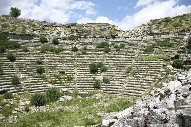
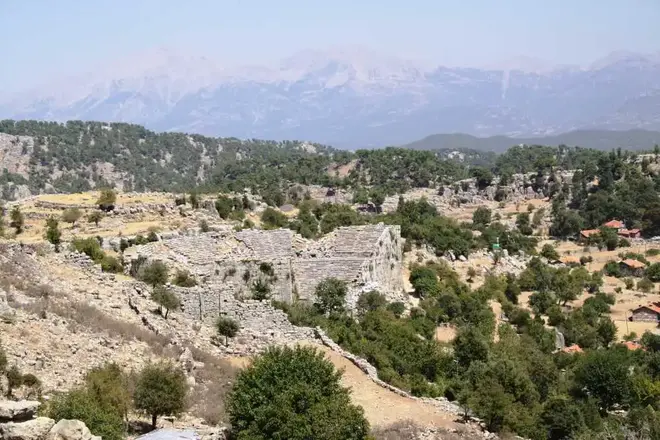
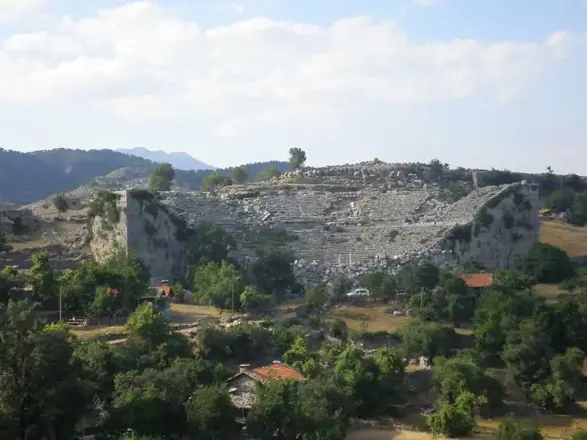
It is located in the Altinkaya (Zerk) district of Manavgat, Antalya province. It is reached by a 55 km long asphalt road that follows the Köprüçay River northwards from the Taşağıl junction of the Antalya-Manavgat Highway. It is 80 kilometers from the centre of the district. It is one of the important cities of the Pisidia region. Its connection (Eurymedon) is with the cities of Pamphylia via the Köprüçay valley. Its trade was carried out with the port of Aspendos at the mouth of this river and its relations were strengthened by the monetary union it established with Aspendos. As a result of this natural dependence, it was withdrawn within the borders of the Pamphylian province in 25 AD. Its foundation is attributed to Kalchas in the later Hellenic epics. The fact that it was a native Anatolian city is evidenced by the name Estlegiiys on the coins.
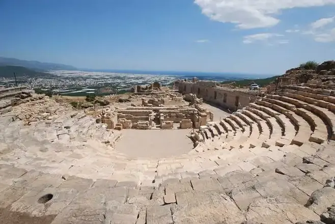
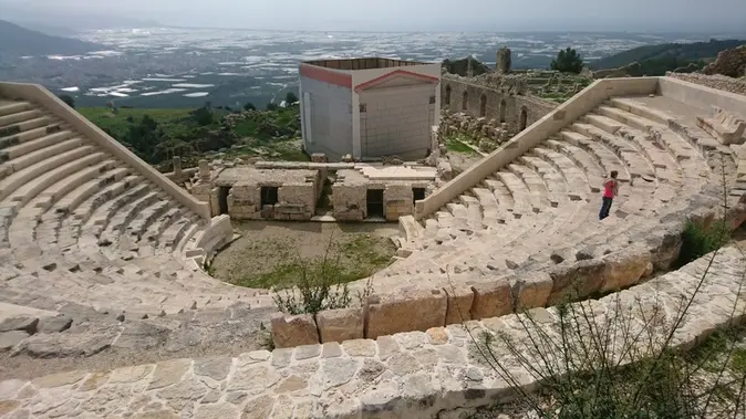
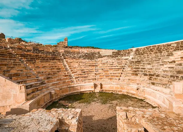
Rhodiapolis, located on a hill near the village of Sarıcasu in the Kumluca district of Antalya, is considered to be a city founded by the Rhodians because of its name. It is one of the few Rhodian colonies in the region, such as Gagai, Phaselis, Korydalla and Olympos, which are very close to it. According to Theopompos, Rhodiapolis was named after Rhodos, the daughter of Mopsos. The settlement, whose name we learned from Hekataios, developed after it was colonised by the Rhodians. All the cities of the region are members of the Lycian Union. The coins of Rhodiapolis and Gagai are marked "Lycian".
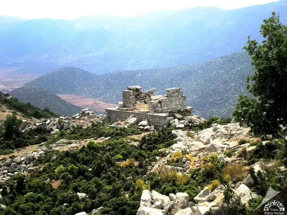
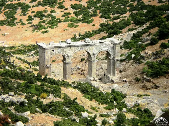
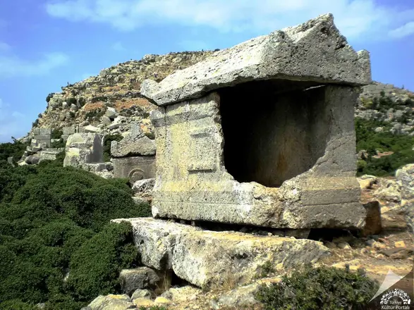
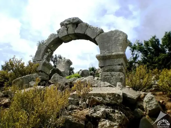
Ariassos, one of the cities of the Pisidian region, is located 50 km north of Antalya, west of the 924 m high Çubukbeli, the strait that connects the Antalya coast with the Anatolian Patos, 1 km from the village of Akkoç. The city was officially founded in 189/188 BC in connection with the campaign of Manlius Vulso and the Peace of Apameia. The city continued to mint coins from the 1st century BC until the reign of Gallienus (253-267). Hierocles places the city in the province of Pamphylia in late antiquity. Until the 12th century it is mentioned in the Notitia Episcopatum as a diocese of Pamphylia II.
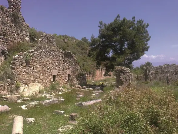
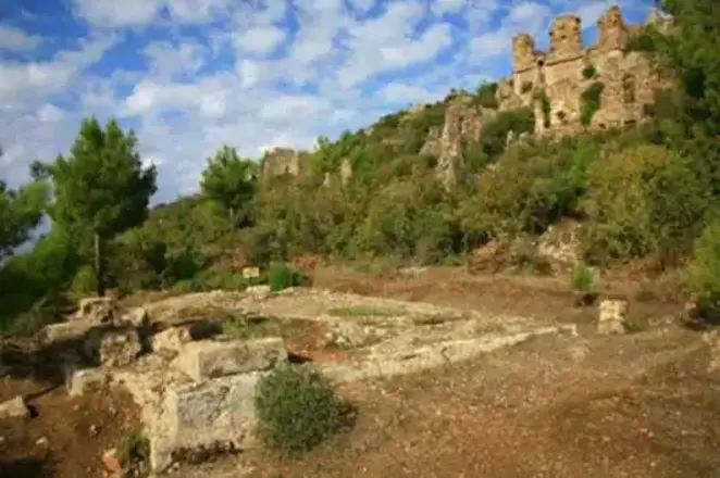
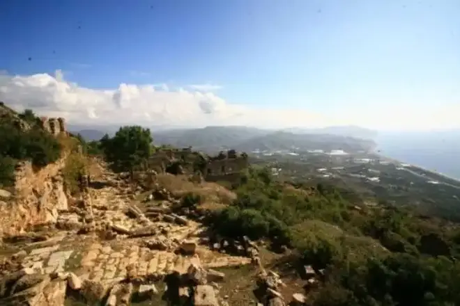
Syedra, whose settlement dates back to the 9th century B.C., is located approximately 20 kilometers southeast of Alanya, within the borders of the Seki district. Its location makes it one of the most strategic cities in the region. The "Upper City" part of Syedra, which has the characteristics of both a mountain city and a coastal city, was built at an altitude of 400 meters and on a slope; therefore, the buildings were placed gradually and the transitions between the different levels were provided by stairs. The "Lower City" is a port settlement that extends from the southwestern slopes to the coast. The inscriptions unearthed during the excavations in Syedra show that the city was a center where important competitions were organized and that it experienced its most glorious years between the 2nd and 4th centuries BC. It can be said that the traces of life in the city continued until the 13th century.
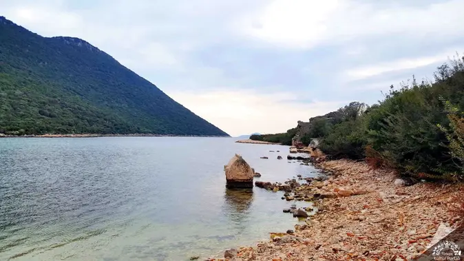
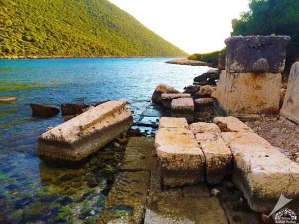
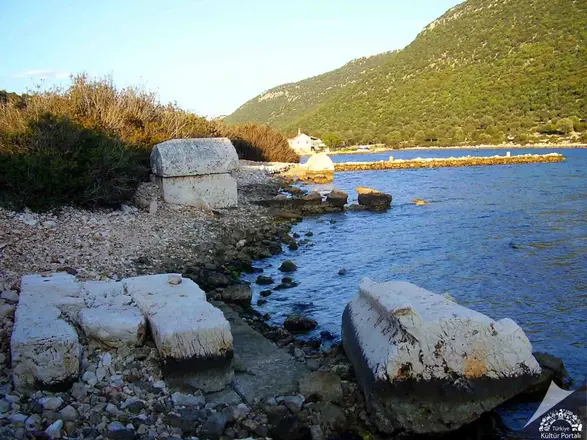
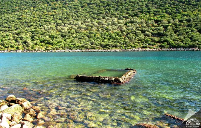
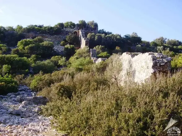
The ancient city of Aperlai is located at the beginning of a long and narrow bay on the Sıçak Peninsula between Kaş and Kekova. The easiest way to get there is by sea from Kaş and Üçağız to Sıçak Pier. The original name of the town is "Aprillai" in the Luwian language and means "River Strait". Aperlai is a small Lycian harbour town.
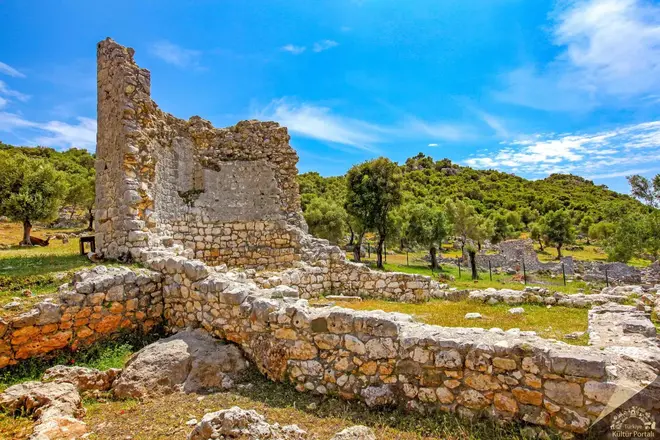
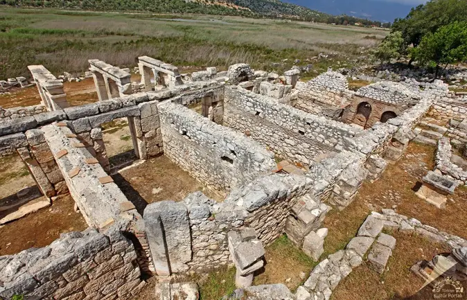
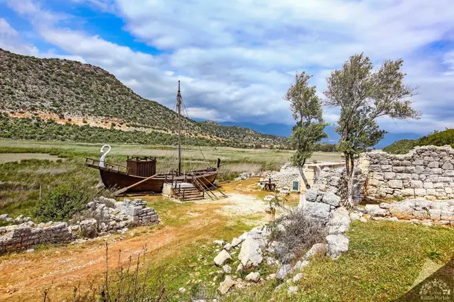
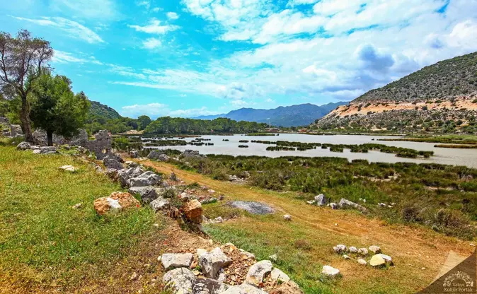
For a long time, it was debated whether the ruins in the Çayağzı area of ancient Myra, or Demre as it is known today, belonged to another city; recent research has proven that it was not an independent settlement but a port district of Myra.
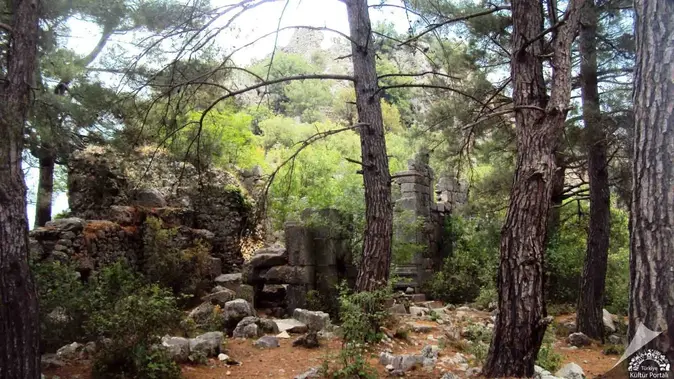
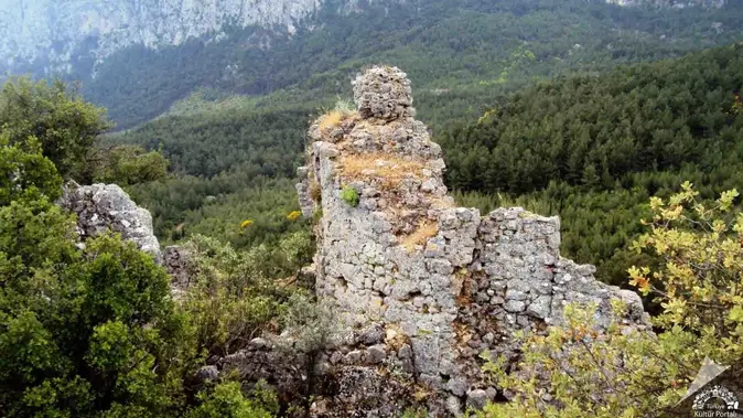
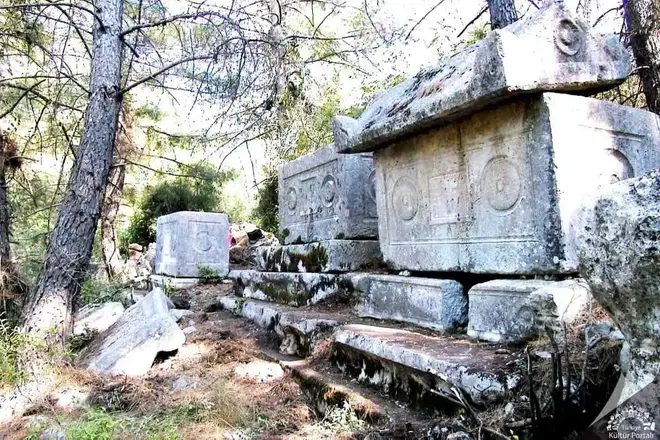
Located 32 kilometres west of Antalya at the northern foot of Sivridag, the ancient city of Trebenna can be reached via a forest road through the villages of Geyikbayırı and Çağlarca. There is no ancient literature, epigraphic or archaeological data on the existence of Trebenna in the Hellenistic and pre-Hellenistic periods. However, in the Hellenistic period, according to an inscription, Termessos was under the sovereignty of the Ptolemies between 281-280 B.C., and the same sovereignty is expected in the areas where Trebenna is located. It is also possible that the lands of Trebenna were among the lands on the eastern side of the Taurus Mountains captured by Pergamum after the Peace of Apameia (168 BC). Eumenes II (197-160 BC) annexed the western lands of Pamphylia to his kingdom. The 3rd century BC was a period of great splendour for Trebenna.
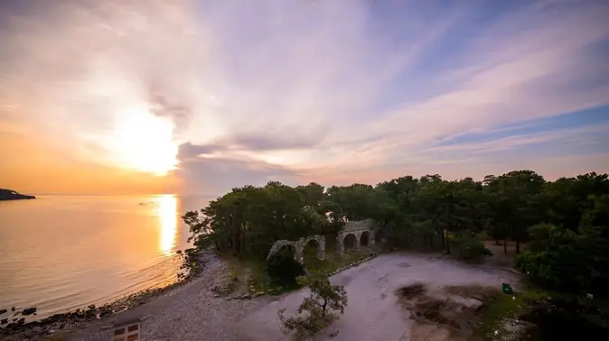
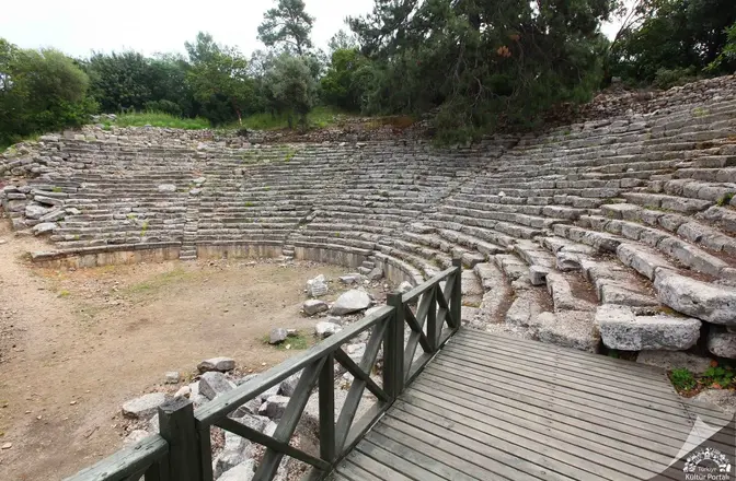
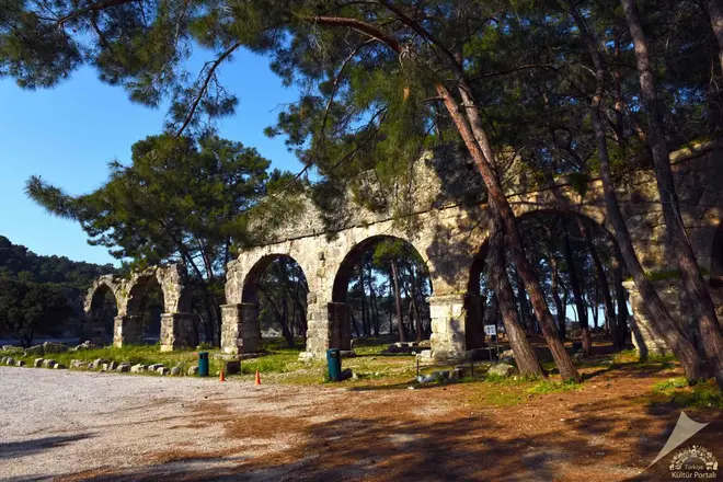
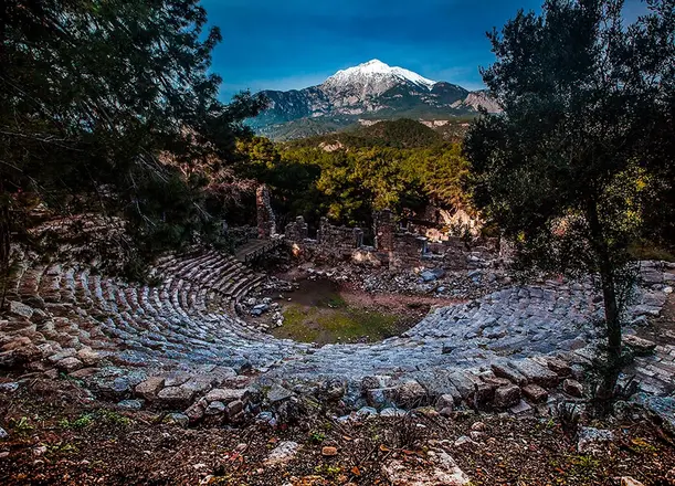
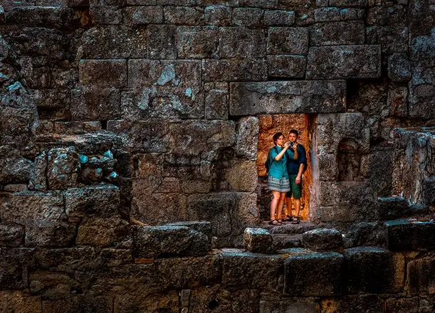
It is said that the ancient city of Phaselis was founded by colonists from Rhodes in the 7th century BC on a small peninsula extending into the Mediterranean Sea. In the legend of its foundation, it is told that the colonists responded to the local people's offers of corn or dried fish with a request for fish. Its geographical location indicates that it is an important port city. It has three harbors, one in the north of the peninsula, the other in the northeast and the third on the southwest coast. The ports, agoras and ship depictions on the city coins emphasize Phaselis' identity as a commercial port.
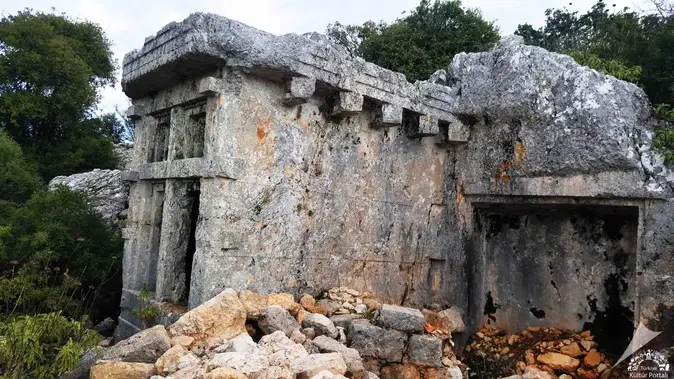
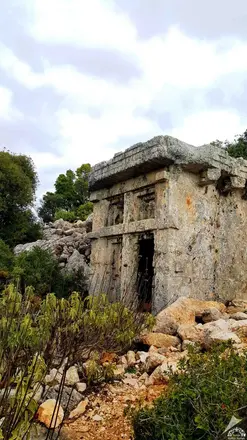
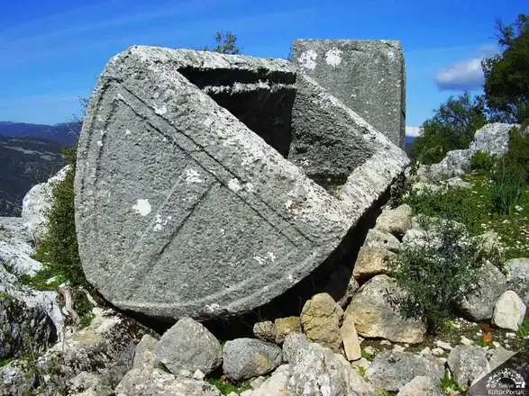
The ruins of the ancient city of Phellos (Antiphellos), located in the Fellen-Yayla region at an altitude of about 950 meters above sea level, northeast of Kaş, can be reached from the settlement of Ağullu on the Demre-Kaş highway in the direction of Çukurbağ. It can also be reached on foot by taking the path that is separated from the bends leading down to Kaş. The city of Phellos was first mentioned by the geographer Hekataios around 500 BC. Phellos and Antiphellos are one of the few Lycian towns with Greek names. The Lycian equivalent of the word Phellos, which means "stony land", is "Vehinda".
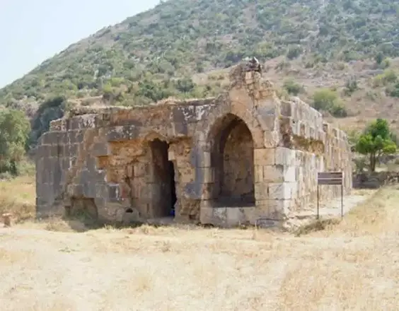
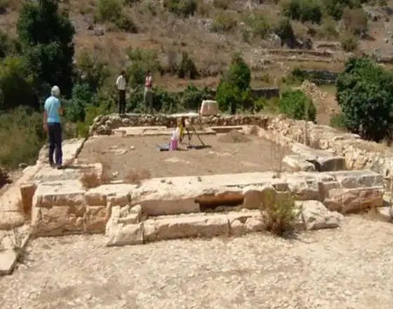
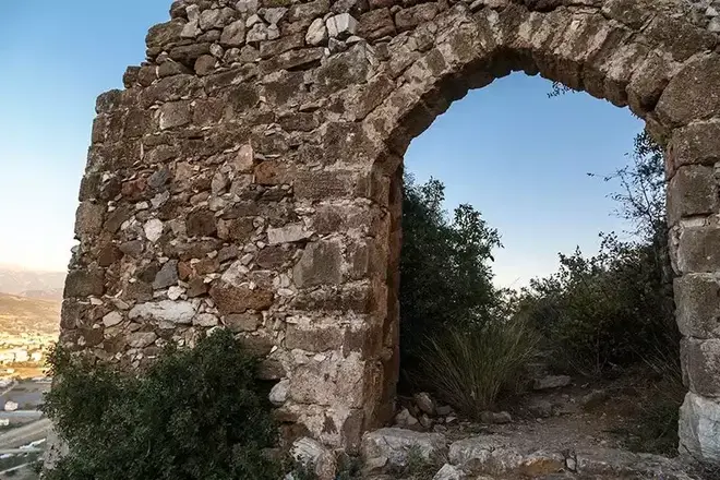
The ancient city of Selinus is located on a hill and slope that extends like an elbow to the sea southwest of the marina and Hacı Musa Stream within the boundaries of Gazipaşa District. The acropolis of the city was built on the hill. The city was inhabited during the Hellenistic, Roman and Byzantine periods. Selinus is the most important region of the mountainous Klikya region. The city took this name because Trijan, one of the Roman emperors, died in this city. In the city where the Roman settlement is dense, the Medieval Castle, Agora, Large and Small Baths, Şekerhane Pavilion and Monumental Tombs are architectural structures that can be seen today. The church and the cistern in the acropolis are important structures that have survived to this day. The other buildings of Selinus are located on the coast and on the hillside
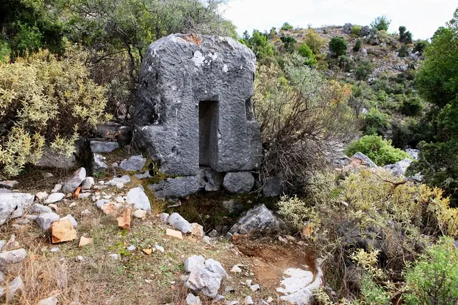
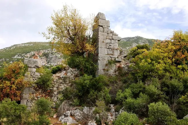
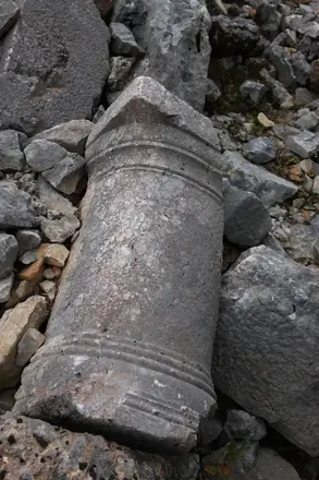
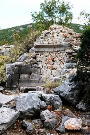
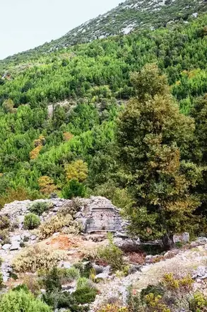
Laertes Ancient city; It was founded on the Taurus Mountains, on the southern slopes of Cebel-i Reis Mountain, which rises at the mouth of the Dim Valley, 850 meters above sea level. It is about 25 kilometers from Alanya. It is within the borders of the region known as Mountainous Cilicia in antiquity.
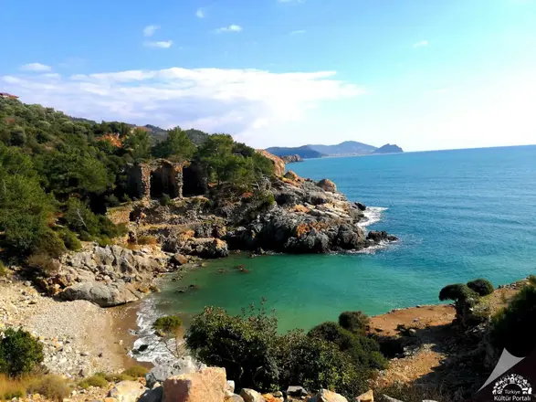
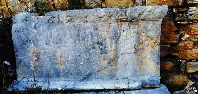
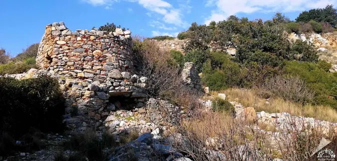
Located at the 33rd kilometer of the Alanya-Gazipaşa highway, the ancient city takes its name from Iotape, the wife of Commagene King Antiochos IV (38-72 AD). The city minted coins in its own name from Emperor Trajan to Valerian. The ruins have both Roman and Byzantine features. The acropolis of the city is a high promontory that extends to the sea.
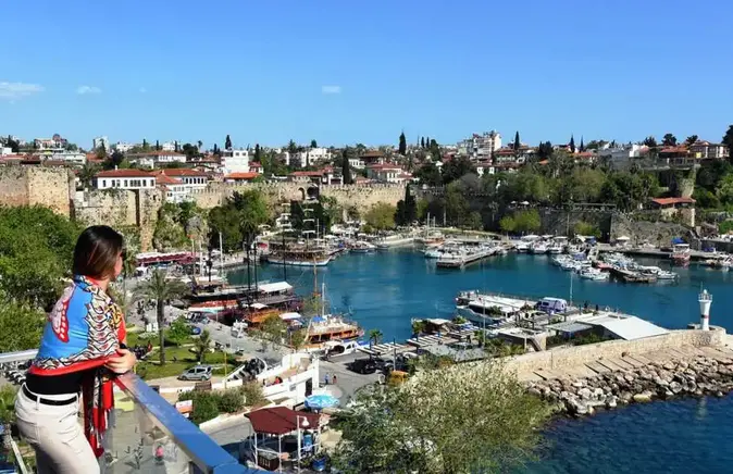
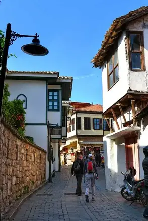

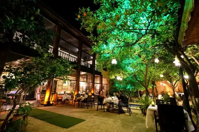
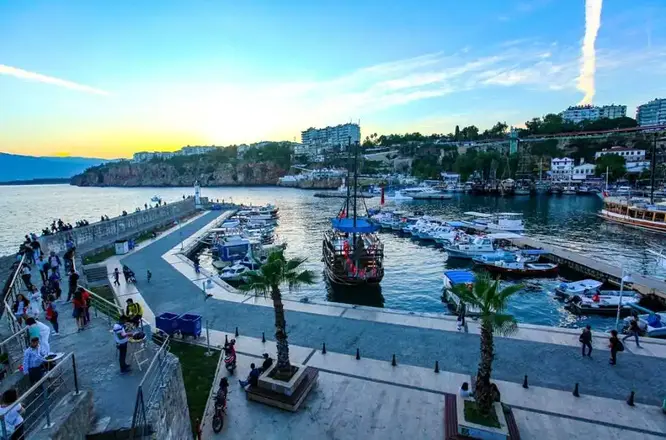
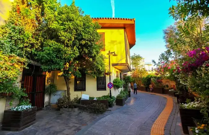
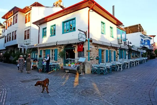
KALEİÇİ CASTLE
Attaleia-Antalya, which means "Home of Attalos", was founded by King Attalos II of Pergamon. After the end of the Pergamon Kingdom (133 BC), the city remained independent for a while and then fell into the hands of pirates. It was annexed to Roman territory by Commander Servilius Isauricus in 77 BC and became a base for Pompeius' navy in 67 BC. Hadrian's visit to Attaleia in 130 A.D. led to the development of the city.
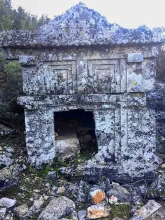
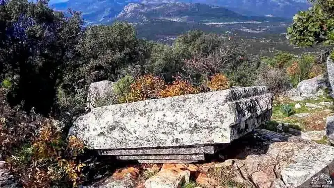
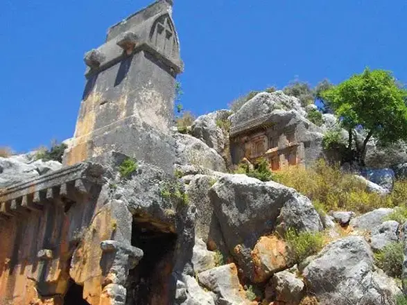
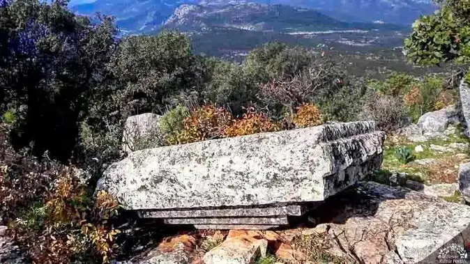
The ancient city of Isinda is a small Lycian city built on the hills and slopes near the Belenli neighborhood of Kaş district. Like some other Lycian settlements, it is more of a fortified position inhabited by a small lord or clan.
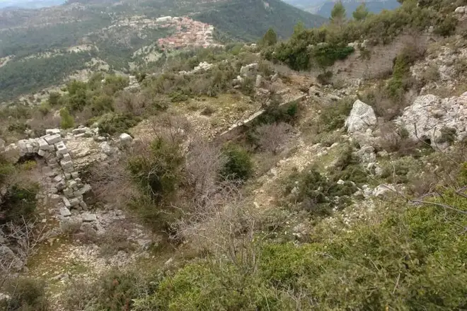
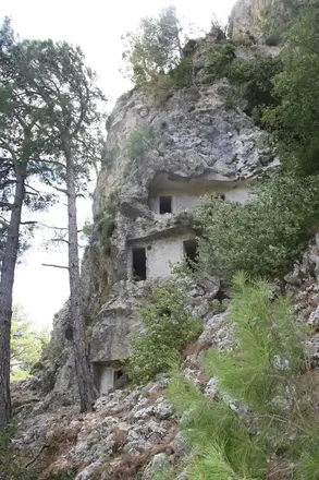
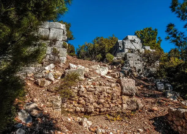
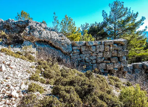
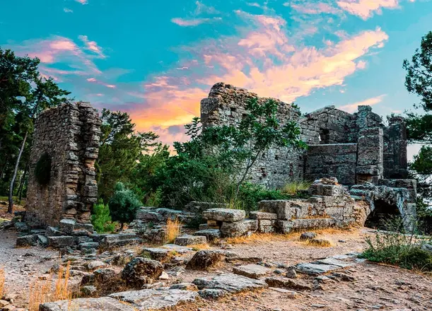
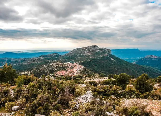
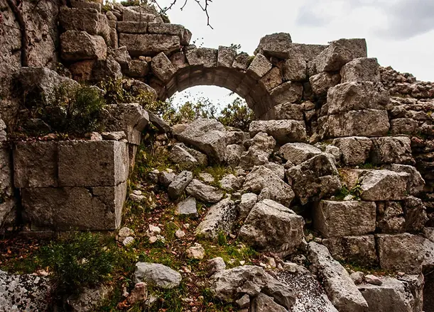
Etenna Ancient City is located in Antalya province, Manavgat district, Sırtköy neighborhood. In the ancient city of Etenna, which is 31 kilometers away from Manavgat and 900 meters above the sea, the first thing that attracts attention among the ancient ruins among the pine forests is the city walls surrounding the city. Instead of Pamphylia, the ruins have the characteristics of a Pisidian city compared to other ancient coastal cities.
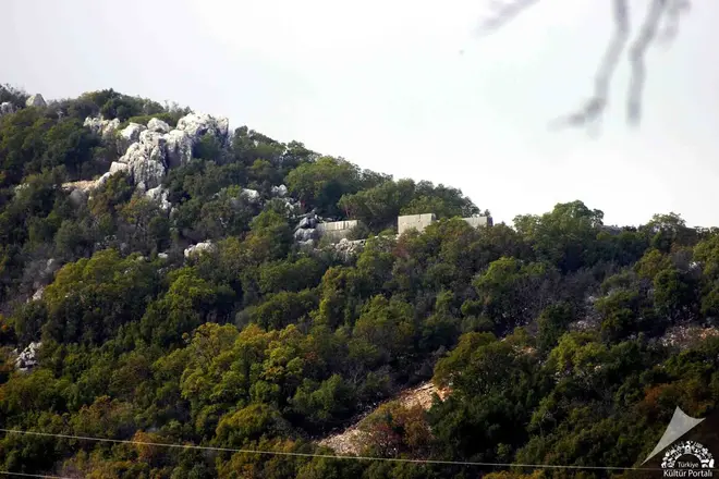
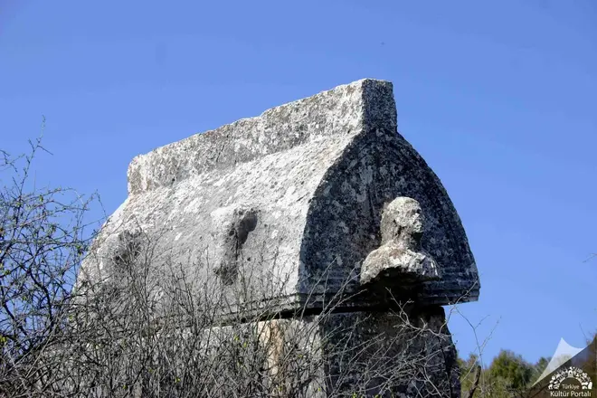
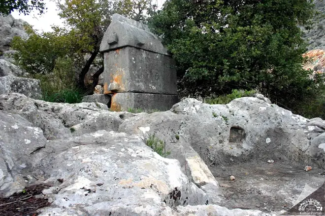
Trysa Ancient City is located in the east of the plateau near Gölbaşı neighborhood of Davazlar village on the Kas-Kale road. Its name is not found in any of the ancient sources. Trysa seems to have been one of the member cities of the Lycian Union founded in the 2nd century BC. It is known by the abbreviation "TP", where the first two letters of the city are written, and by coins belonging to the Lycian Union period. Trysa, whose name and especially Heroonu is mentioned in the archaeological literature since the end of the XIX century, has the appearance of a well-protected fortress inhabited by a small lord or king like Phellos, Istlada and Sura.
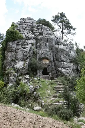
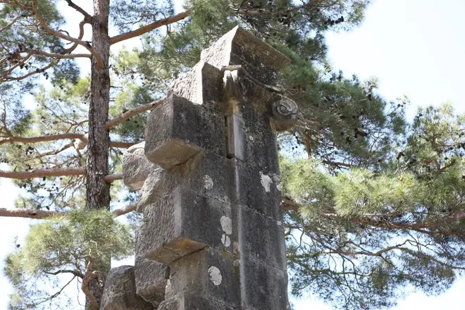
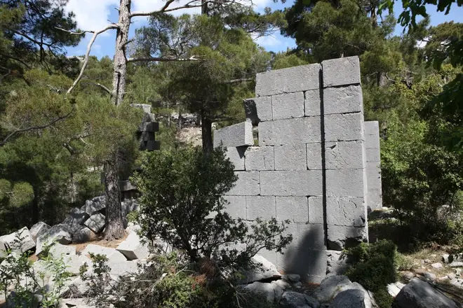
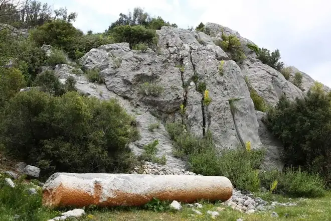
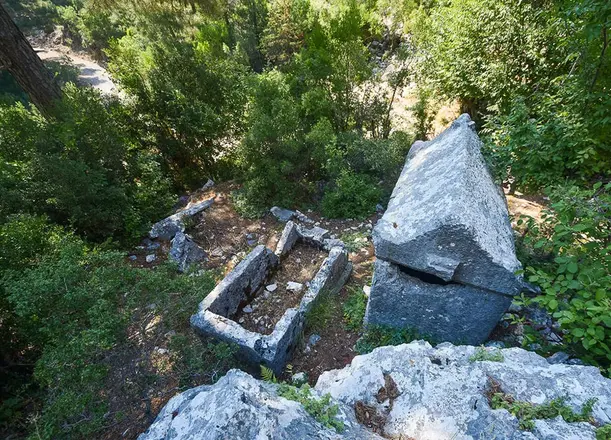
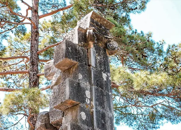
Colybrassus is located about 30 kilometers northeast of Alanya, within the boundaries of Bayırkozağacı Village of Alanya Güzelbağ District. The city center is located in a valley. A. Albek defines the city as a settlement east of Pisidia and west of Cilicia with traces of the Hellenistic period. There are written sources that indicate that life in the city continued until the Middle Ages.
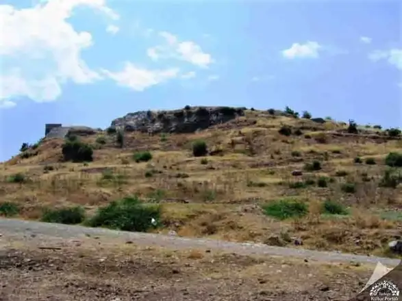
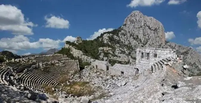
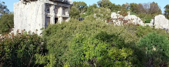
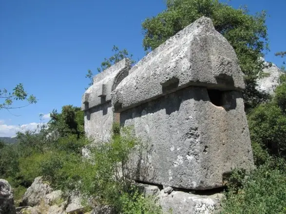
Korydalla, now called Hacıveliler, is located one kilometer west of Kumluca district center and 29 kilometers northeast of Myra. The place name Korydalla, whose name was confirmed by a statue pedestal honored by Emperor Marcus Aurelius in Hacıveliler, is derived from the Greek word "Korydos" (lark). It was mentioned as the city of Rhodos by Hekataios of Miletus in 500 BC. Pliny places Korydalla between the cities of Rhodiapolis and Gagai, and Ptolemy shows it opposite Mount Masekitos. It is mentioned as "Coridallo" in the Tabulae Peutingeriane. It is counted among the Lycian cities of the Late Antique period by Hierocles. Korydalla was an important traffic point where the routes of Patara Stadiasmos intersected. The history of Korydalla, which has an inscription in Lycian, should be largely analyzed with Rhodiapolis. It is known that the city joined the Lycian League and was represented together with Rhodiapolis.
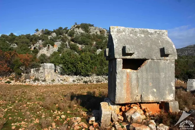
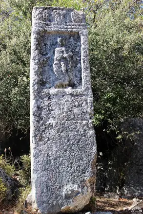
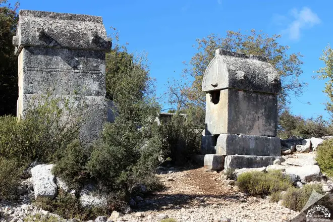
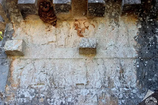
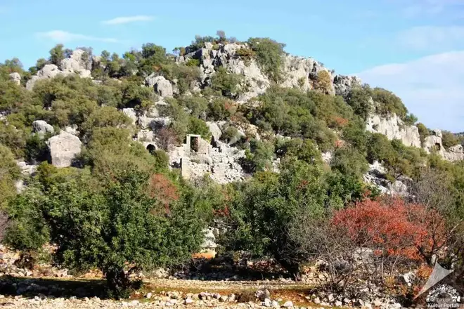
Istlada Ancient City is the most impressive among the small-sized cities of Lycia with its interesting tombs that have survived to the present day.After passing Yavu Village on the Demre-Kaş highway, after 4 km from the Davazlar Village sign, Kapaklı Village is reached. The famous Hoyran Tomb, which is located just opposite the village primary school, is the area where the ruins of the ancient city of Islada are located. The ruins of Istlada are scattered in Kapaklı, Hoyran and Hayıtlı. The name Istlada can be read in many inscriptions of the city and shared the historical fate of the region with other neighbouring cities in the Lycian Union.
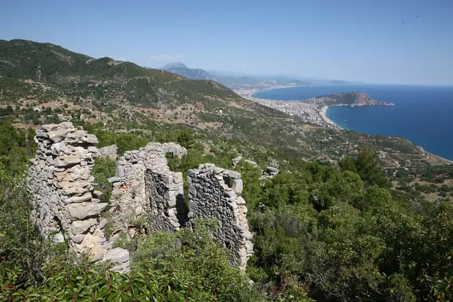
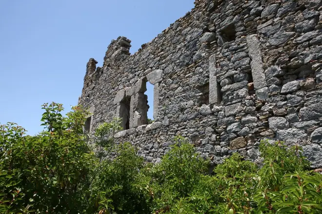
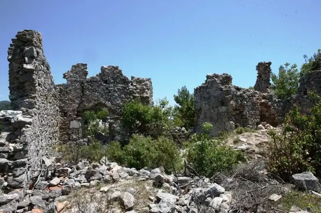
The ancient city in Elikesik village, 12 kilometers northwest of Alanya, is within the borders of Pamphylia region. It is popularly known as Sinekkalesi. The ancient geographer Strabon mentions that the wood used for shipbuilding was obtained from the city, especially cedar trees were abundant, and even Antonius gave this region as a gift to Cleopatra. Both inscriptions and ruins show that the city was inhabited from the Hellenistic period until the end of the Byzantine period.
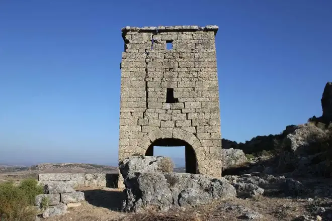
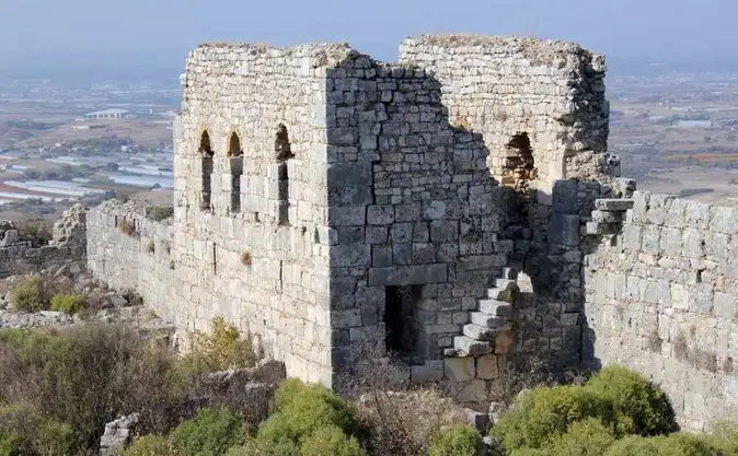
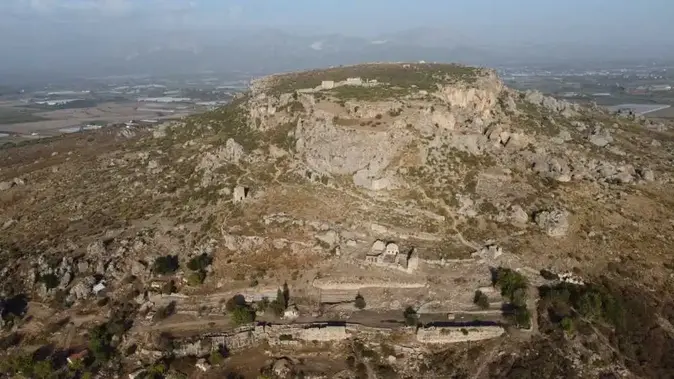
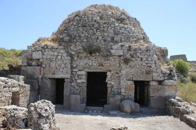
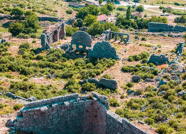
Sillyon is located in the Pamphylia Region in the Ancient Period and today in the Kocagözler Mevkii of the Yanköy Neighborhood of the Serik district of Antalya province. It is an accepted opinion that the name Sillyon derives from Šalluša mentioned in Hittite texts and is not a Greek name.
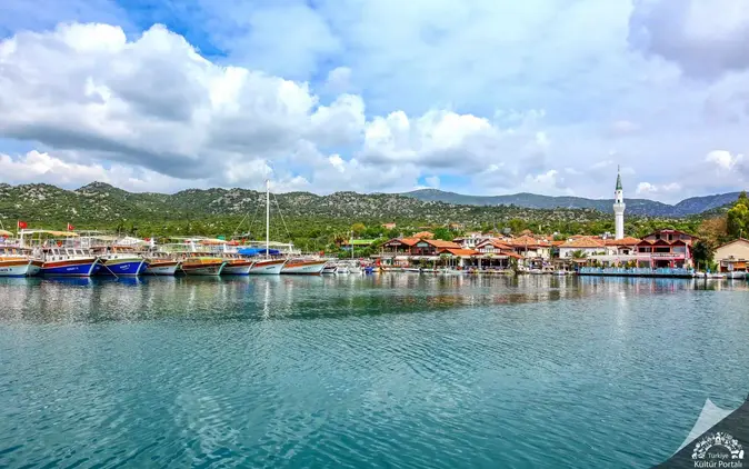
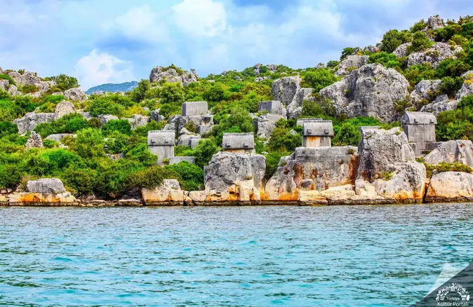
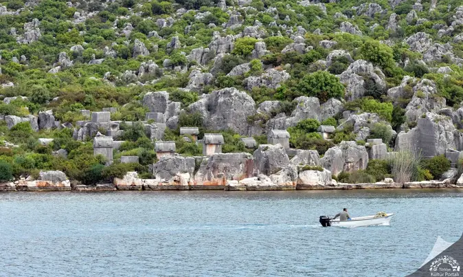
The ancient city of Theimiussa, now known as Üçağız Village, can be reached by the road leading south from the 20th kilometer of the Kaş-Demre highway. The ruins are located on the eastern side of the village where the houses begin to thin out. According to an inscription found there, Theimiussa was administratively a village settlement, not a city.
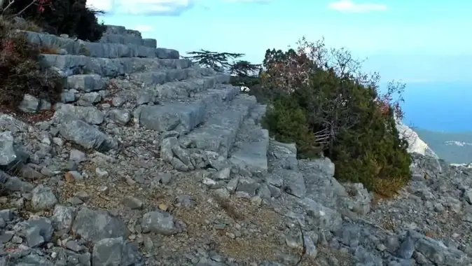
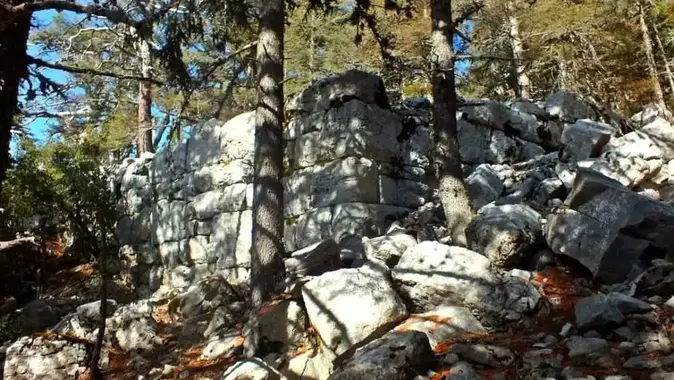
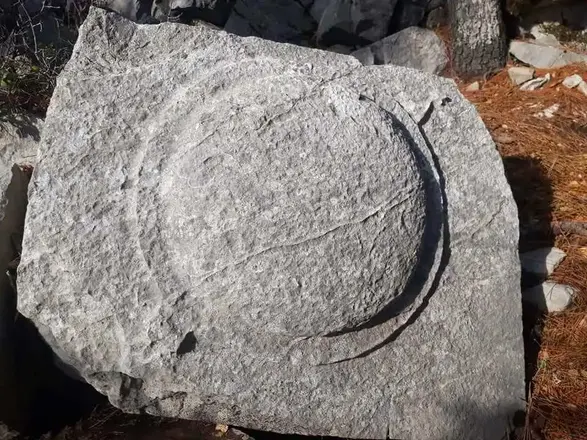
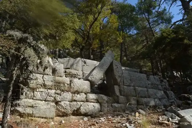
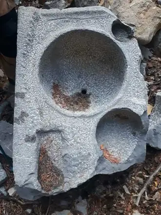
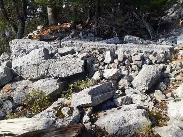
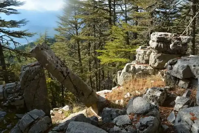
Mnara (Marmara), one of the most difficult ancient cities to reach in Anatolia, is located on a very high rocky hill on the summit of Mount Kavak (lı), which is located within the borders of the Kemer district of Antalya; at an altitude of approximately 1400 meters. The ancient city has a position that can control a significant part of Eastern Lycia and allows a naked eye view of the entire Gulf of Antalya up to Side.
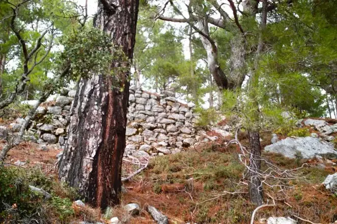
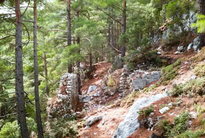
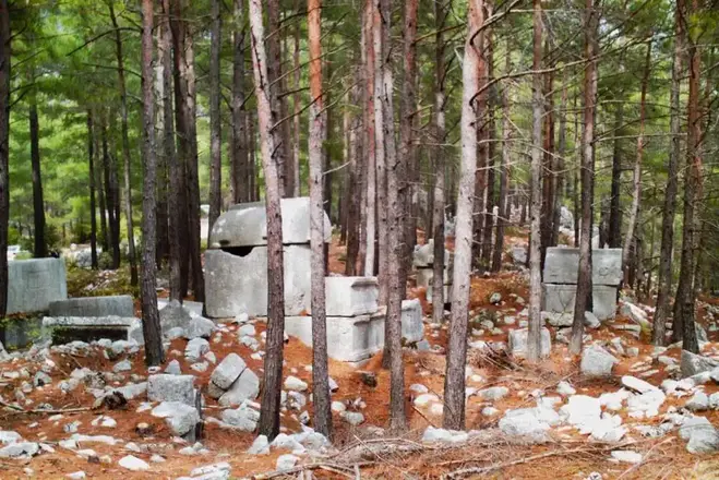
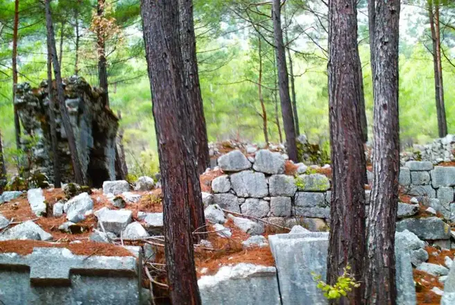
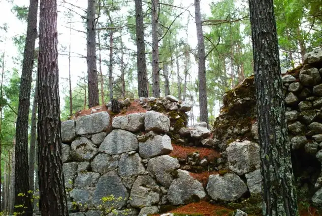
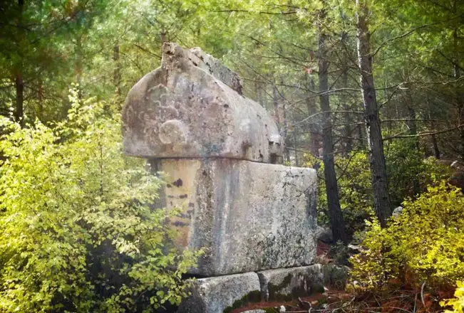
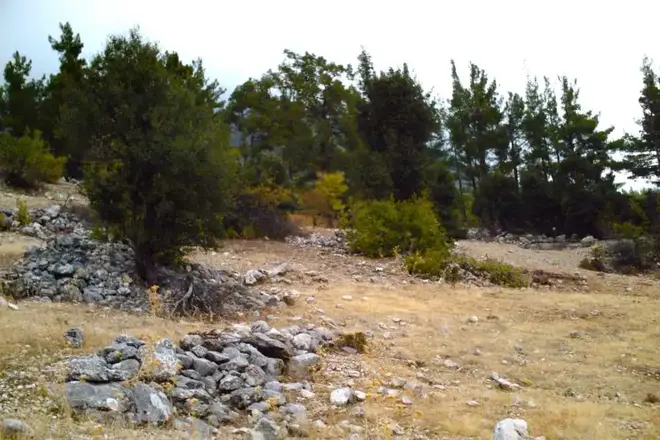
Idebessos is a Lycian city located near Kozağacı Mevkii, Karacaören Mahallesi, north of Kumluca district center. It lies 7 km north of Akalissos and northwest of Kormos. The "ss" in its name suggests that there was another settlement much earlier than the ruins suggest. However, the earliest historical information is from the Lycian League period. Although there is not much information about the settlement in the ancient sources, it is known that they formed a sympoliteia (political union) with Akalissos and Kormos; Akalissos was the leader. The city, which took the name Edebessos after the Roman Period, is referred to as a bishopric called Lebissos/Lemissos within the Metropolis of Myra during the Christian period.
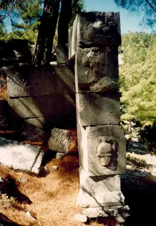
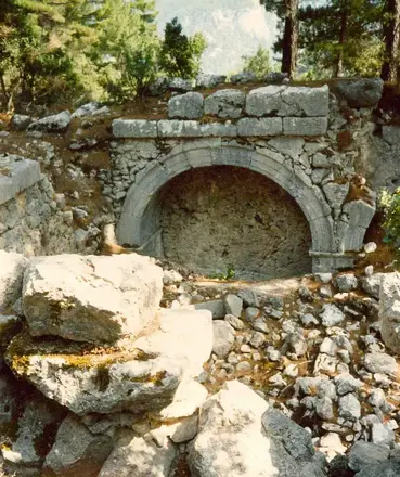
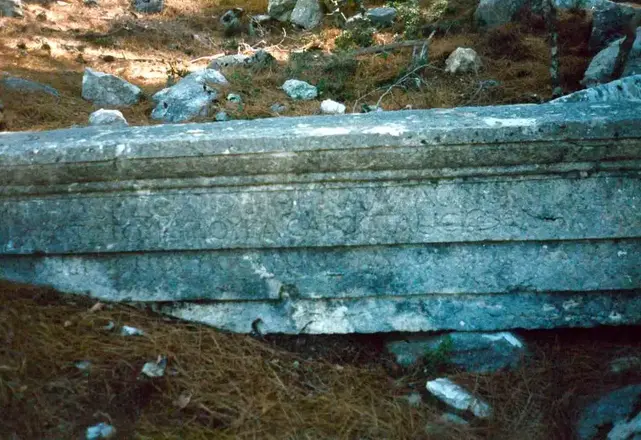
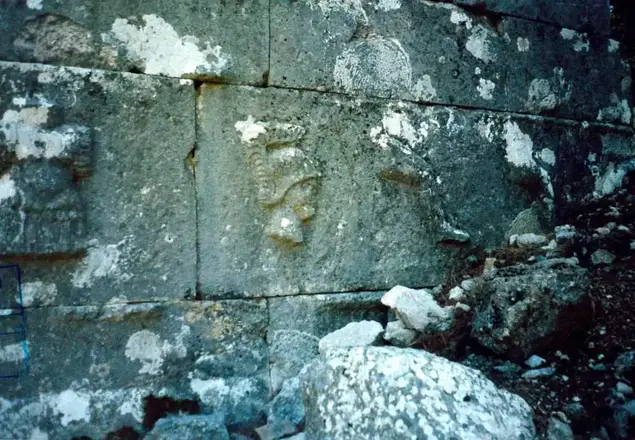
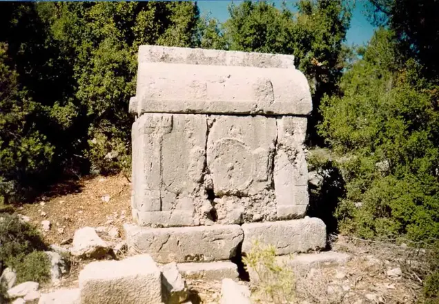
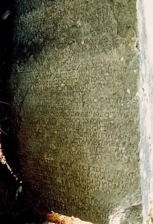
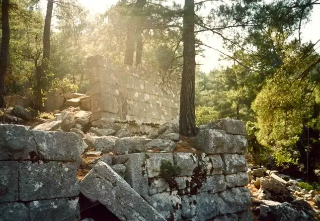
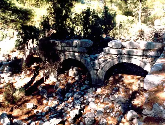
Kitanaura is an important ancient settlement located on the hills and slopes north of Saraycık Mevkii within the borders of Gölcük Quarter of Kumluca District. The ruins of the ancient city were first localized as Apollonia by Spratt and Forbes who visited the site in 1842 and then as Mnara by A. J. Schönborn. However, according to the road route indicated on the Stadiasmus Patarensis (Patara Road Monument) found in Patara, it has become certain that the ruins in Saraycık belong to Kitanaura. According to Stadiasmus Patarensis, Kitanaura is 17-18 km from Idebessos and this settlement is within the sovereignty of Termessos.
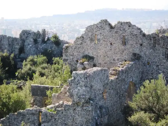
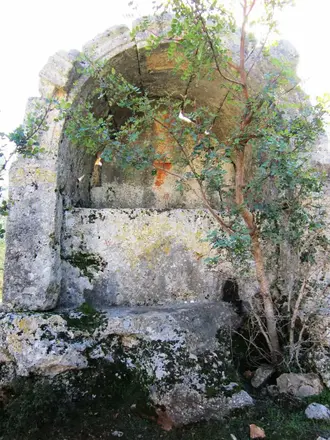
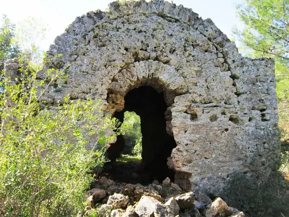
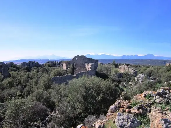
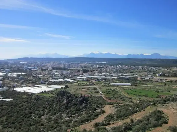
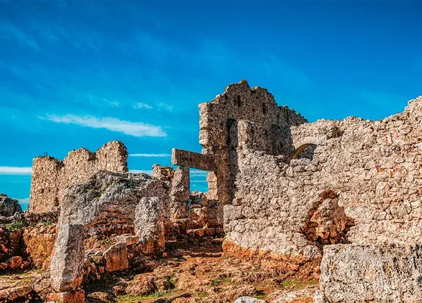
Lyrboton Kome, located northeast of Antalya city center on the top of the mountain backed by the Varsak neighborhood of Kepez district, is an ancient settlement that existed from the Hellenistic Age until the Middle Ages. According to an inscription found in Perge, it is also known as "Elaibaris" (olive farm) and was essentially a large ancient olive oil production village. It is thought to have been inhabited during the Hellenistic period, although it has remains largely from the Roman and Byzantine periods. Although not much is known about its history and administration, it can be safely said that this settlement was a kome (village) under Perge, administered by a komarkhes from the II century AD, and was inhabited throughout the Byzantine period.
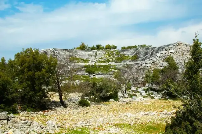
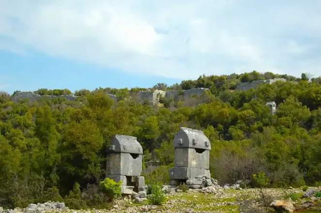
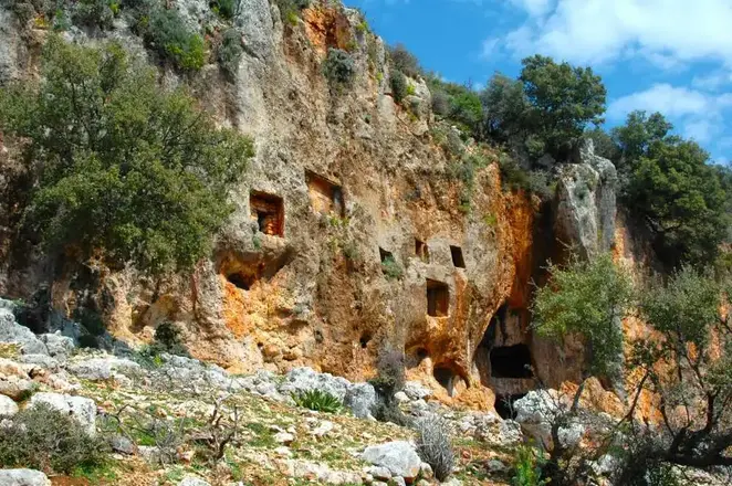
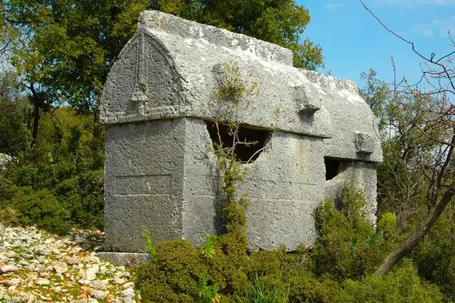
Located on the Demre-Kas highway, on the hill plain that borders the north of today's Yavu Neighborhood and extends in the east-west direction, the ancient city of Kyaenai is one of the Lycian cities that managed to survive with its impressive structures. Located in a dominant position between Antiphellos (Kaş) and Myra (Demre), this ancient city is only 5 km from Üçağız Harbor. The name of the city, whose Lycian name is unknown, is of Greek origin like Xanthos and means "dark blue". Apart from its color meaning, Kyaenai is also known as "ringing rocks".
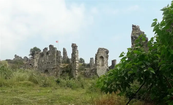
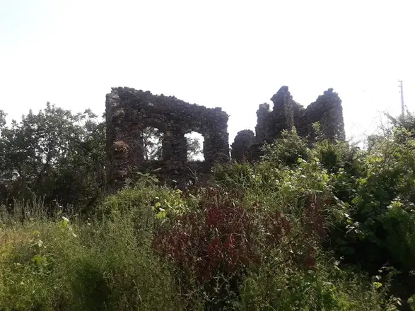
Naula Ancient City is located in Mahmutlar Mevkii, about 10 km. from Alanya district of Antalya. The ancient city is located on the flat area northeast of Mahmutlar.
There are opinions that the city, whose history is not well documented, was the harbor of the nearby ancient city of Leartes. Architecturally, the two cities have similar features.
