


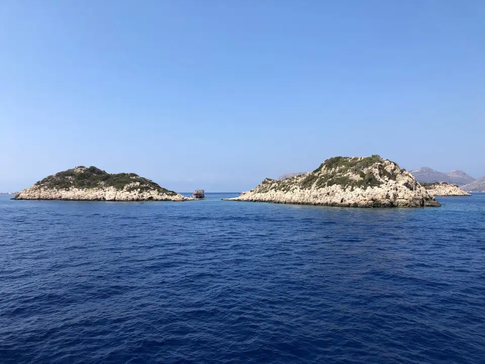
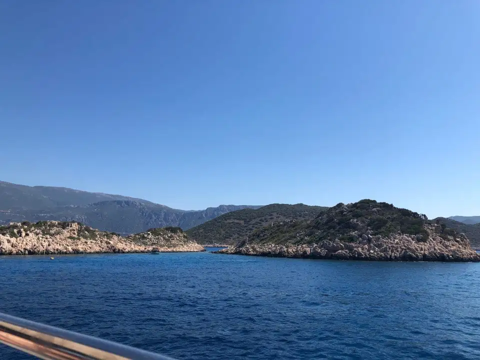
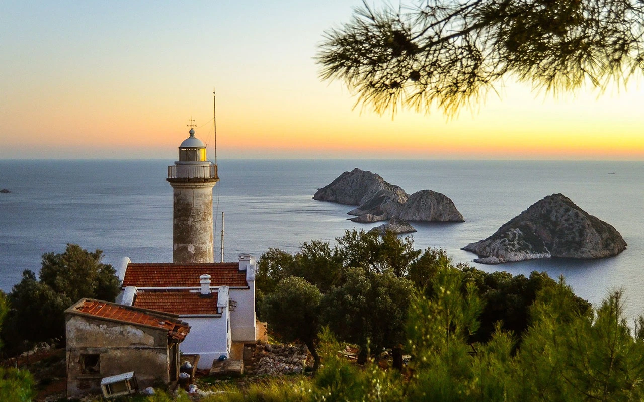
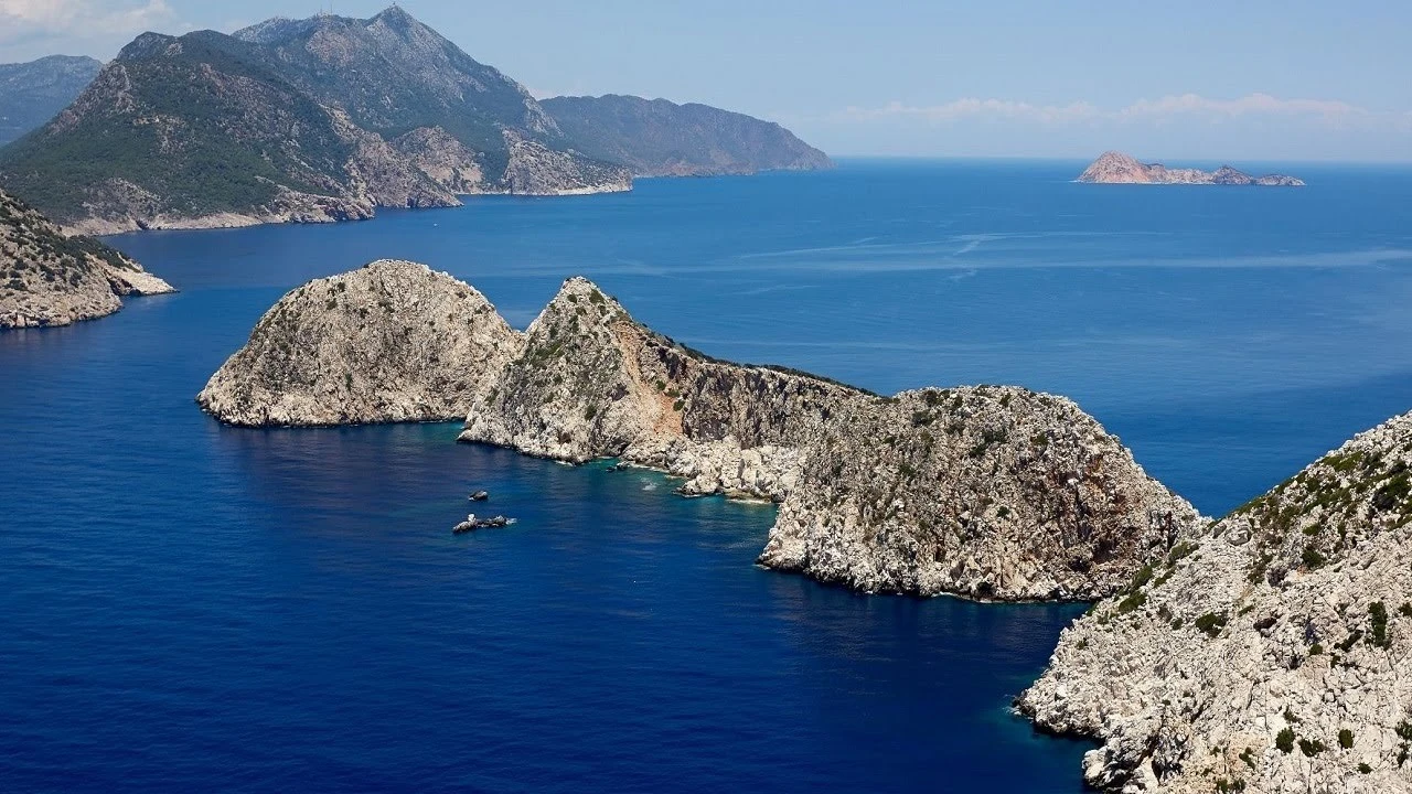
Beş Adalar or Beşadalar are islands located within the borders of Kumluca district of Antalya province. It is the continuation of Gelidonya Cape in the sea in Karaöz neighbourhood of Mavikent town. There is no settlement on the islands.
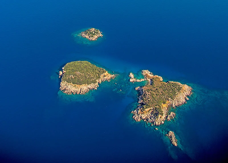
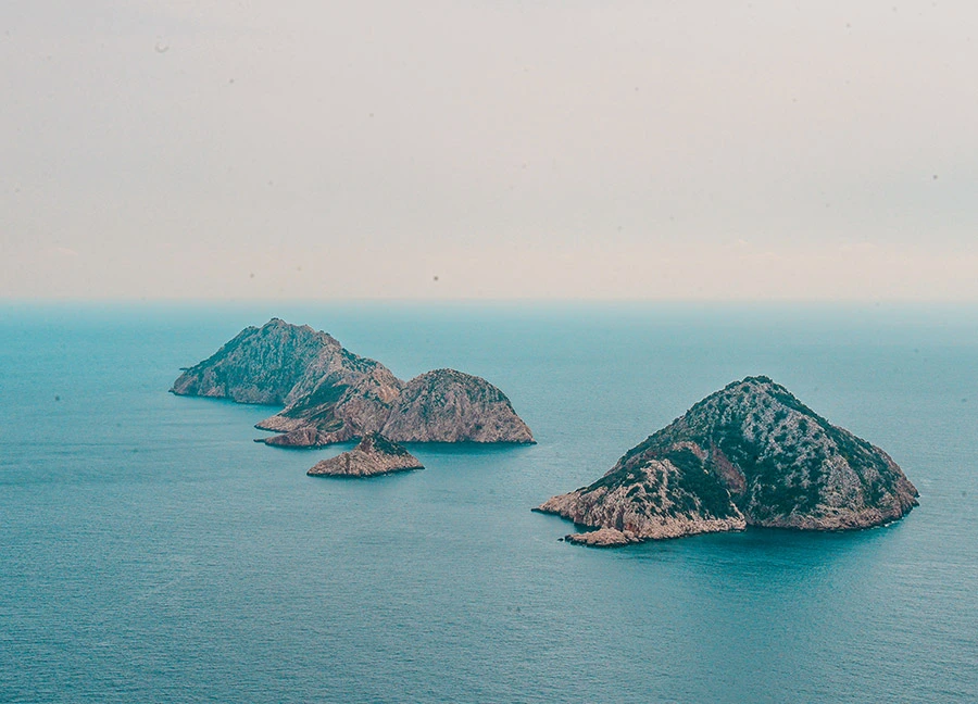
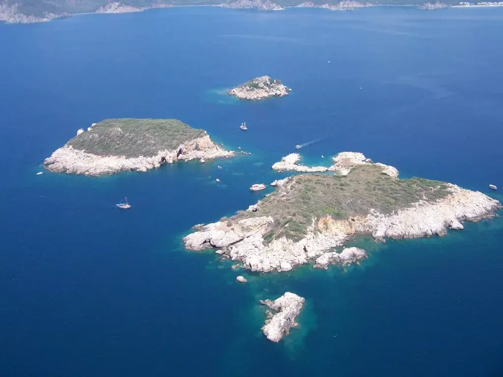
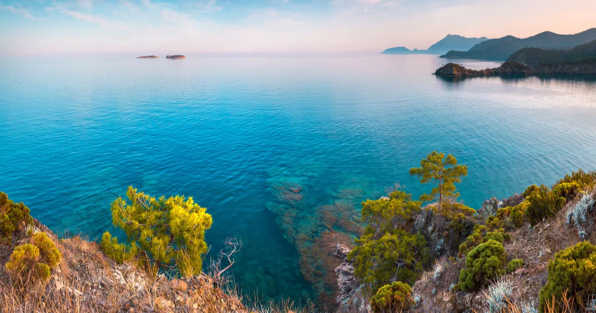
It is located nearAntalya Kemer district. There are four islands on the coast ofTekirova and their names are Seagull, Cave, Picnic and Small Island. Small Island is not visible from the coast because it is behind Picnic Island. Üç Adalar is located in the west of Antalya and is one of the rare diving centres in accordance with world criteria. This diving centre has been frequented by people who want to discover the riches of underwater.
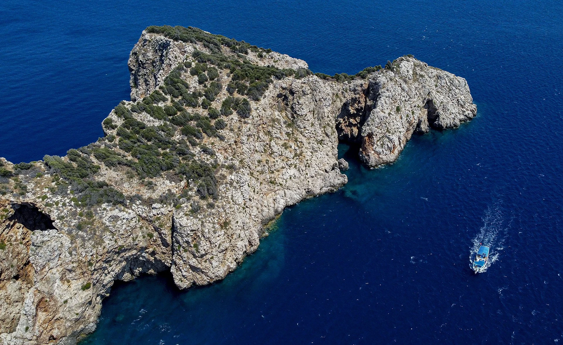
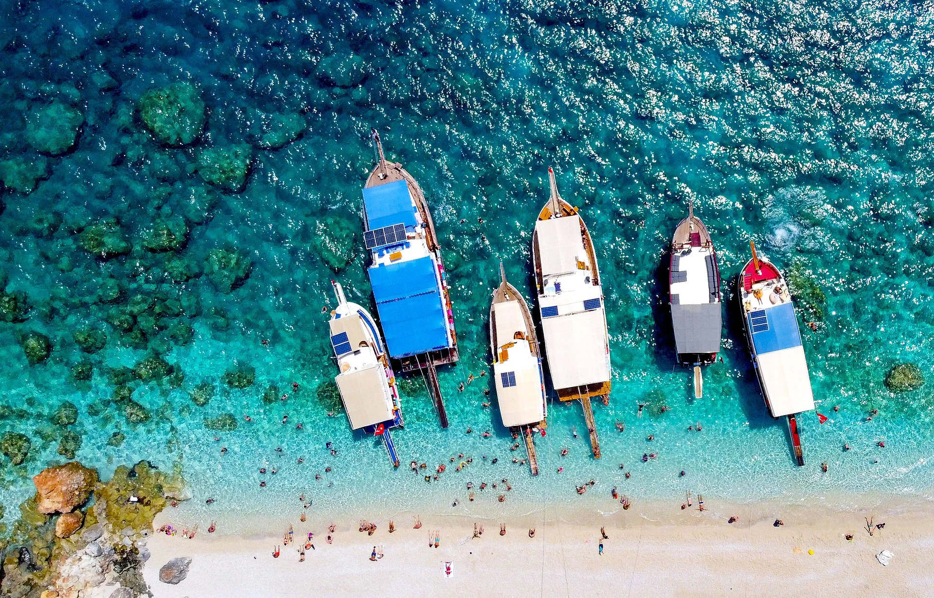
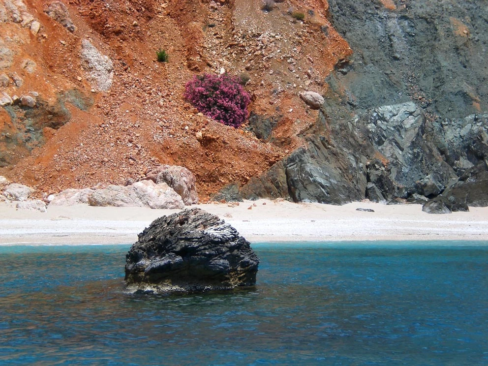
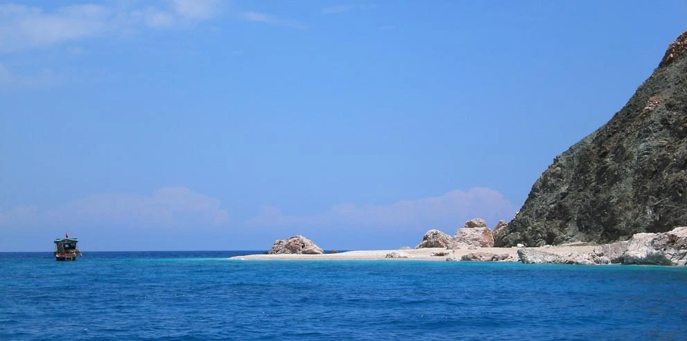
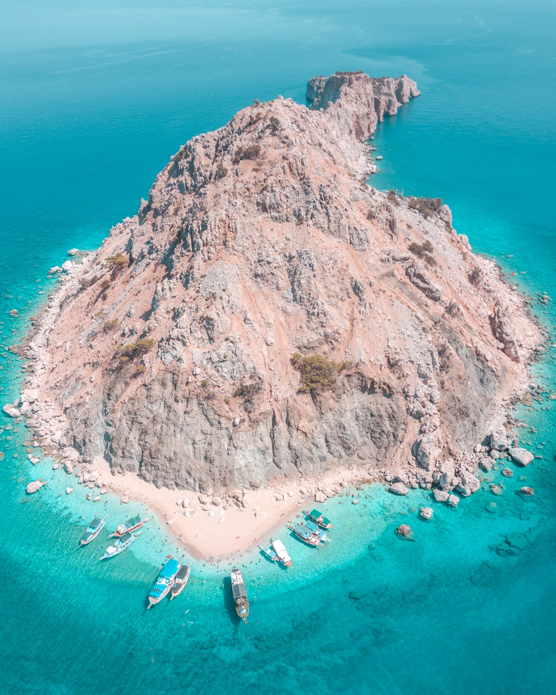
Suluada is a Mediterranean island of Turkey. The name Suluada is a composite word meaning "watery island" referring to fresh water sources of the island. In the antiquity the island was called "Krambusa".
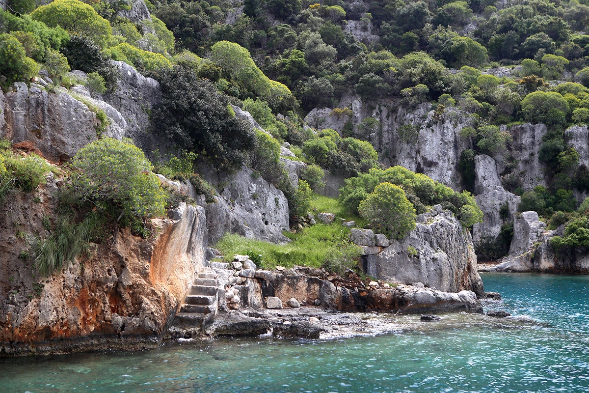
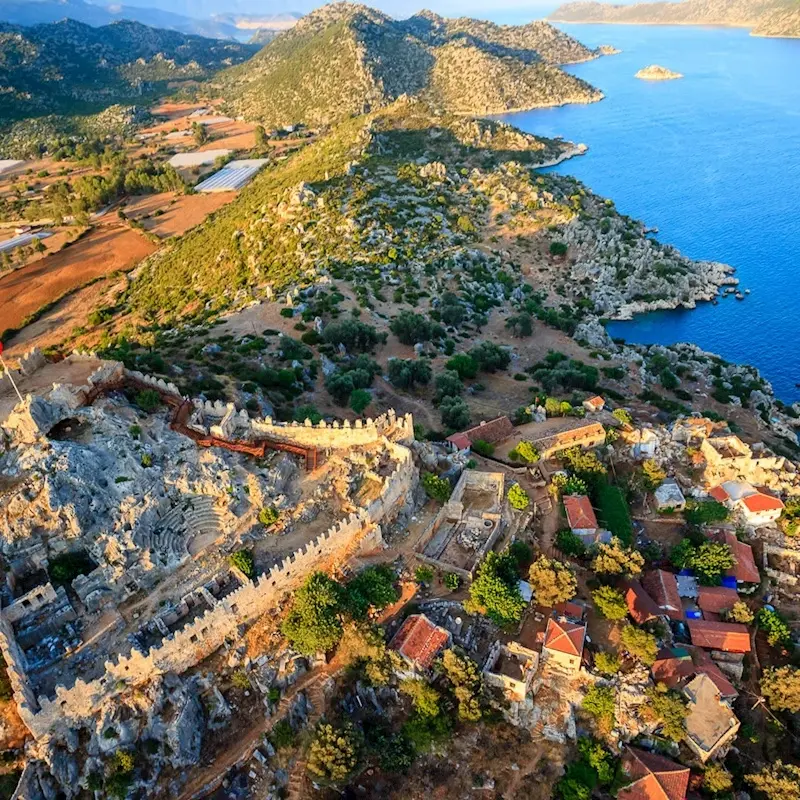
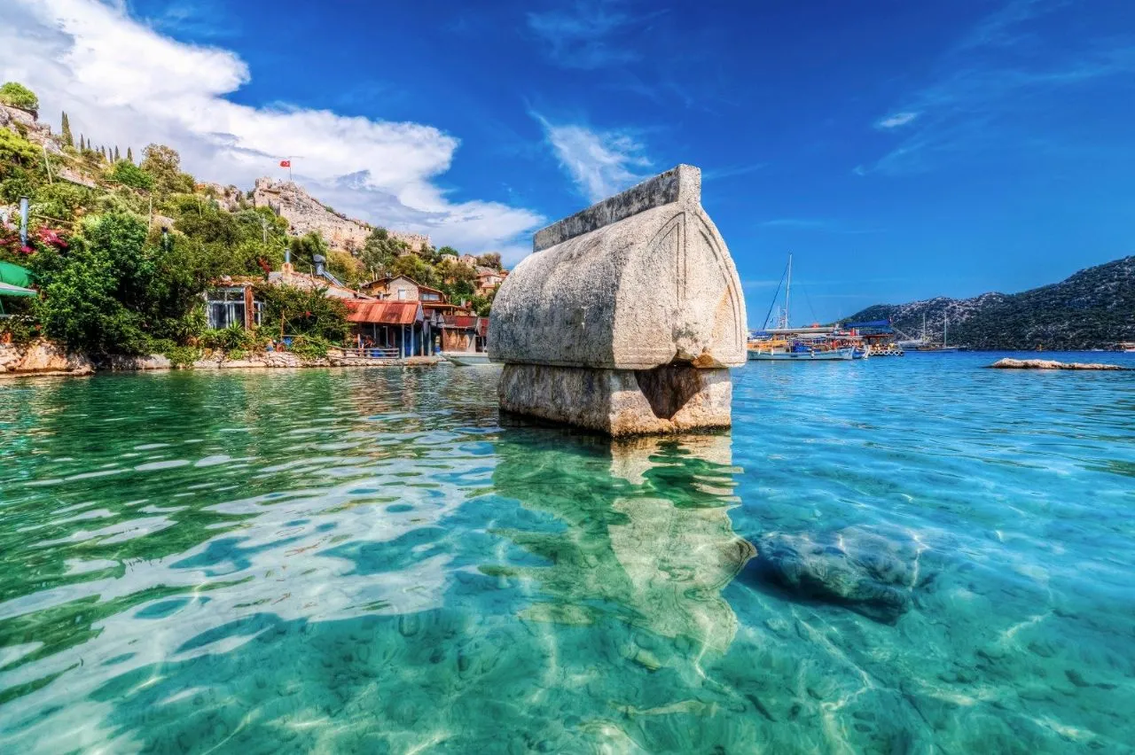
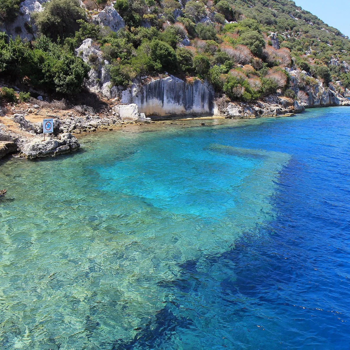
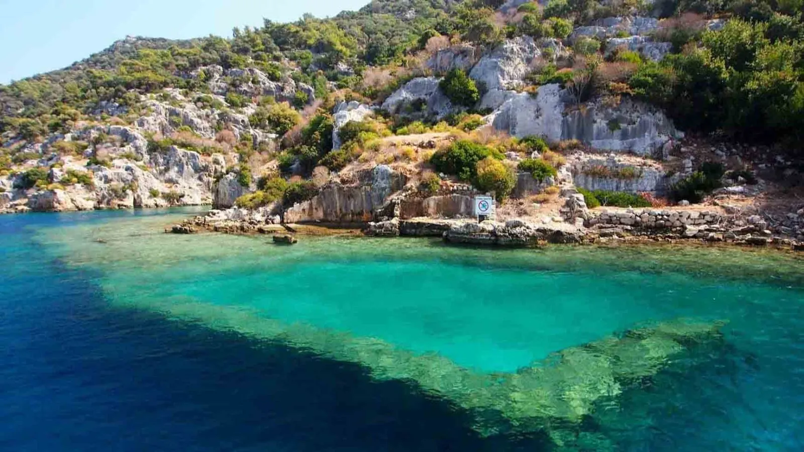
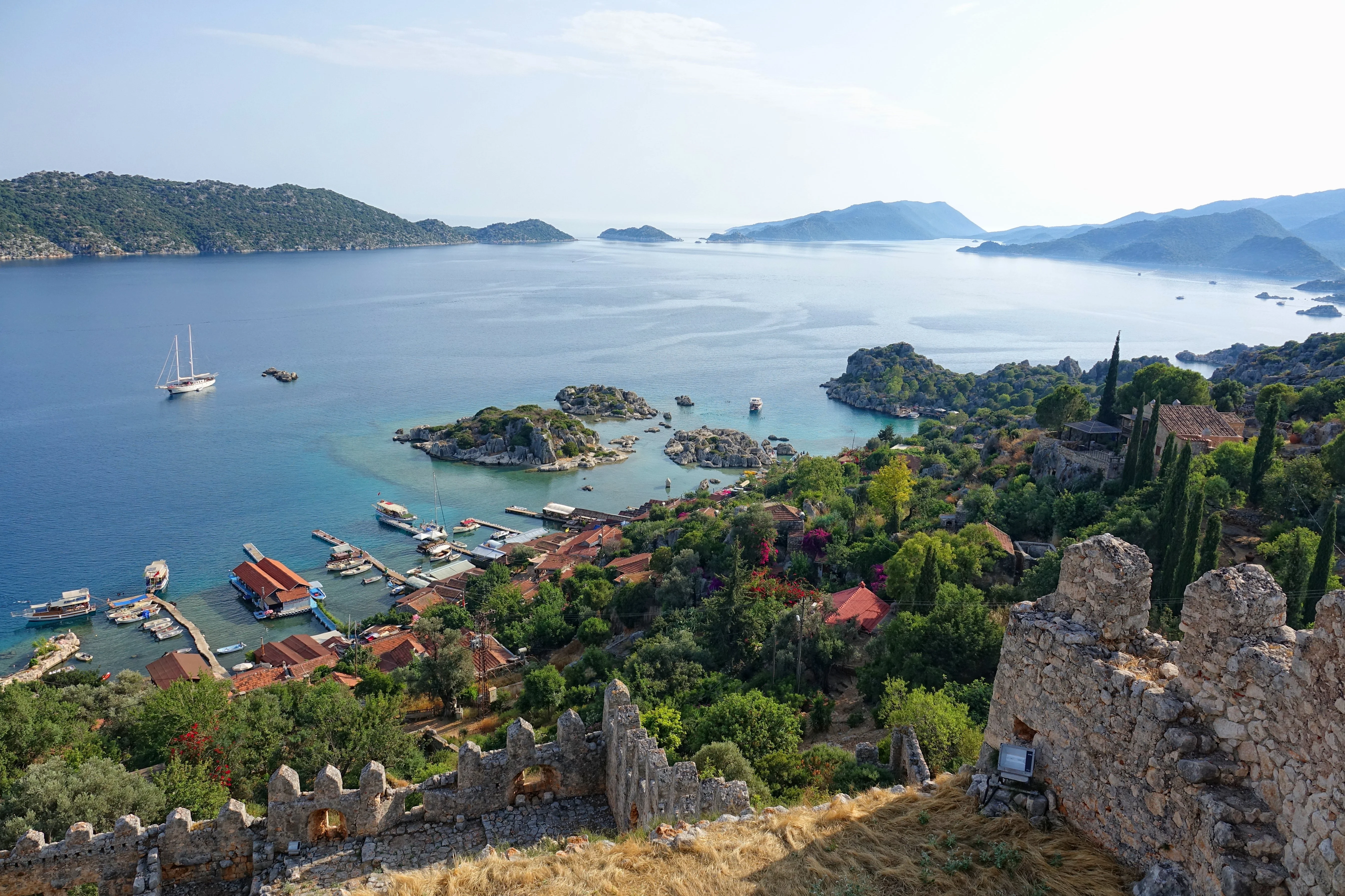
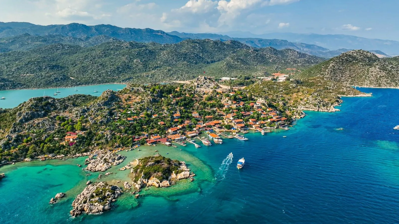
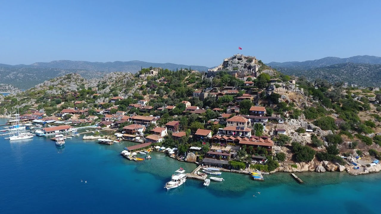
Kekova, is as small, rocky island off the coast of Kaleköy and Üçağız near the Demre district of Antalya province . It is often referred to as "Kakava" in the sources. Although it has a surface area of 4.5 km², no one lives on this island. The parton which there are hostels and cafes and which is accessible by boats is Kaleköy on the opposite shore of the island, connected to the mainland.
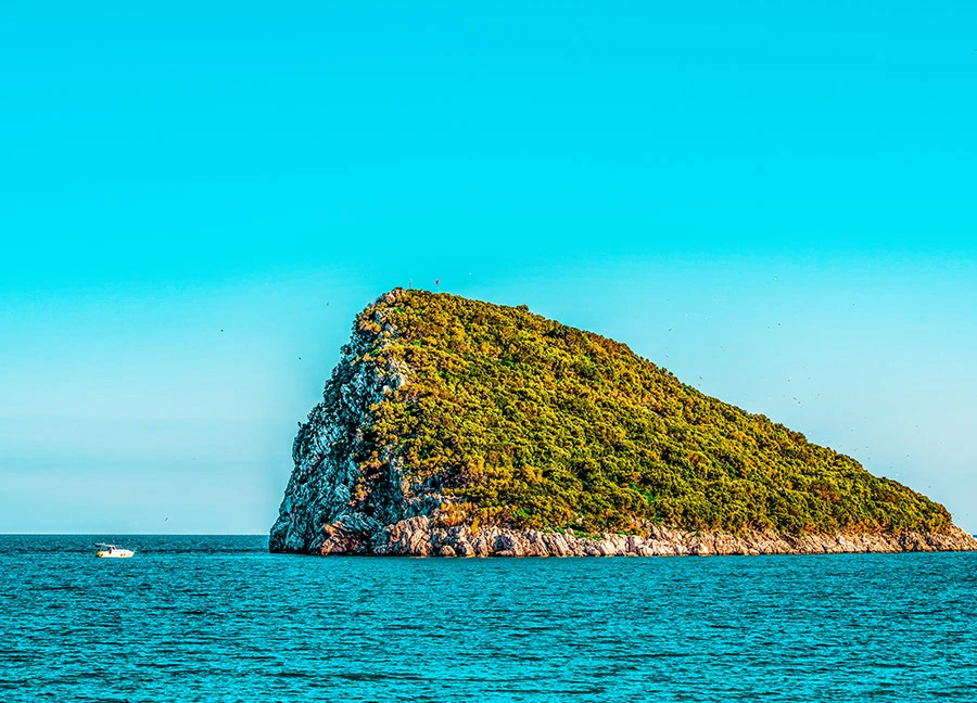
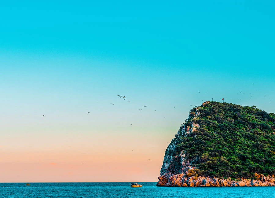
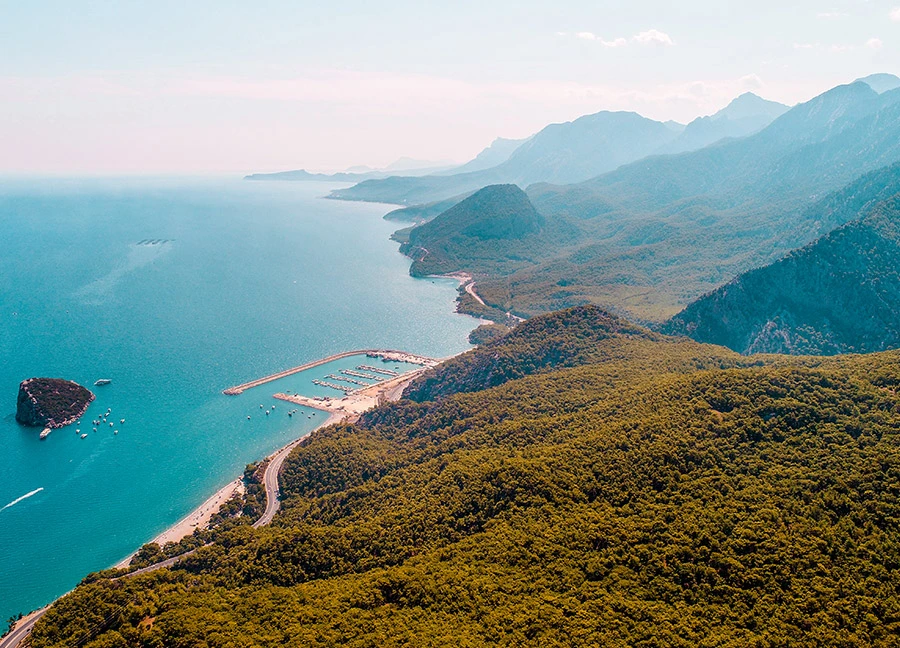
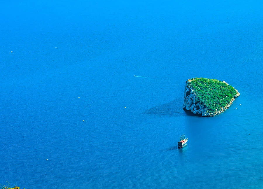
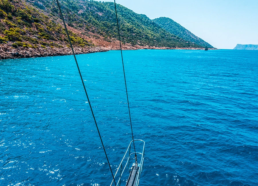
Sıçan Island is 10 km from Antalya Kaleiçi Marina. It is located between Konyaaltı and Beldibi. The island, which attracts the attention of diving enthusiasts, is also one of the base regions for boat and yacht tourism.
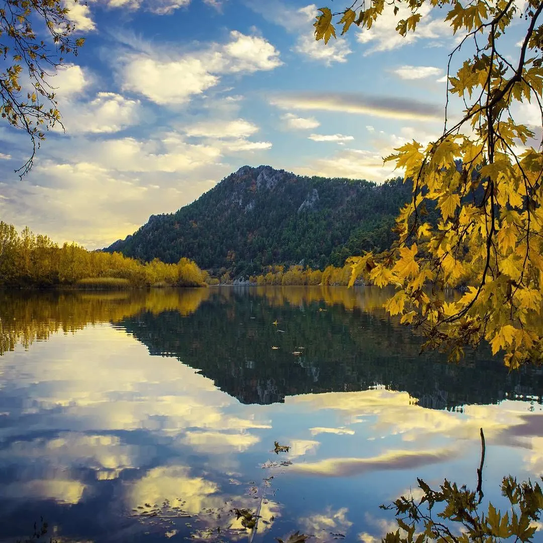
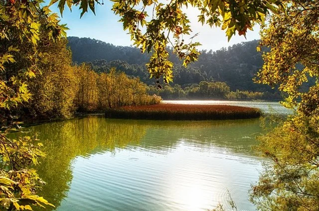
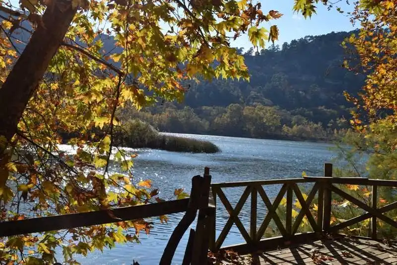
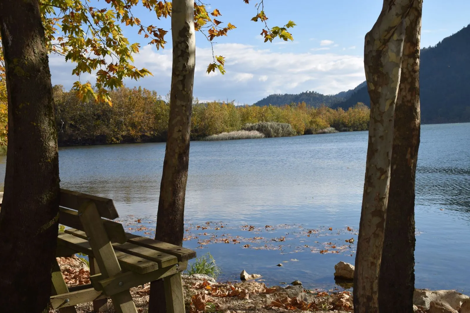
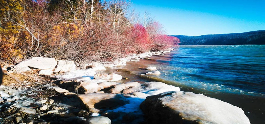
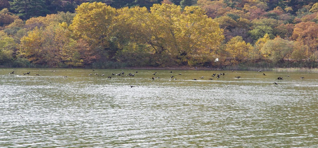
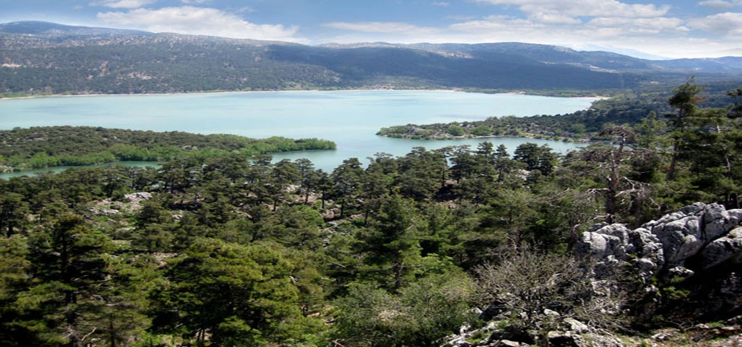
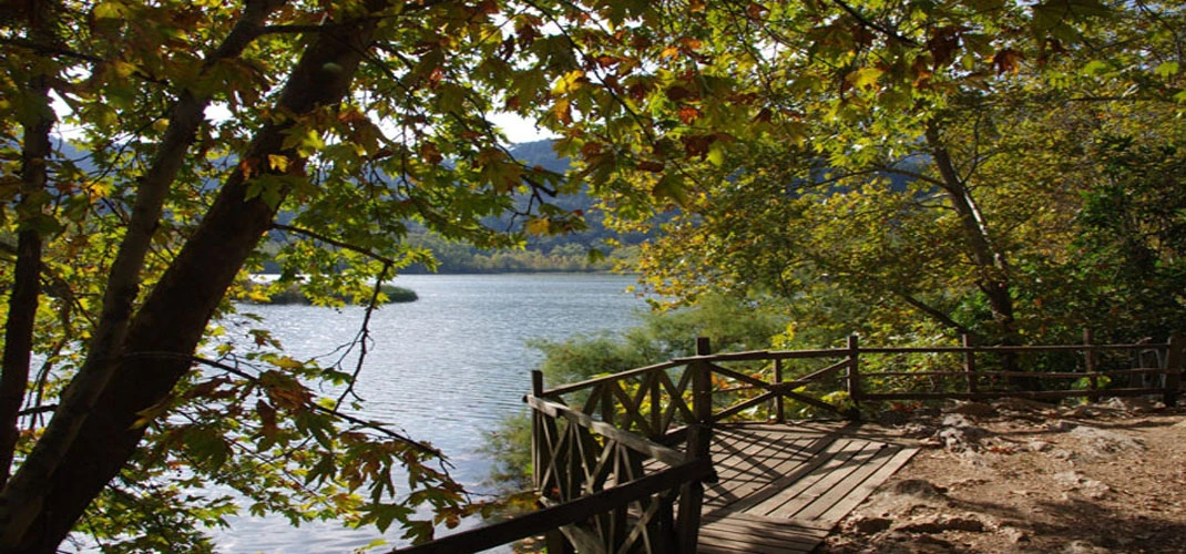
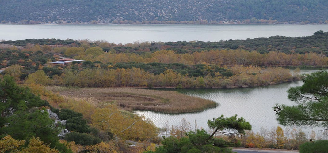
The deepest part of the lake today is 7 m. is. The sediments in the water that give the lake a green color prevent the bottom of the lake from being seen. Although there are no signs of ancient civilizations in Kovada Lake National Park, there are important sites of high historical and archaeological value in the immediate vicinity. Lake Kovada is very close to the Greco-Roman Psidia.
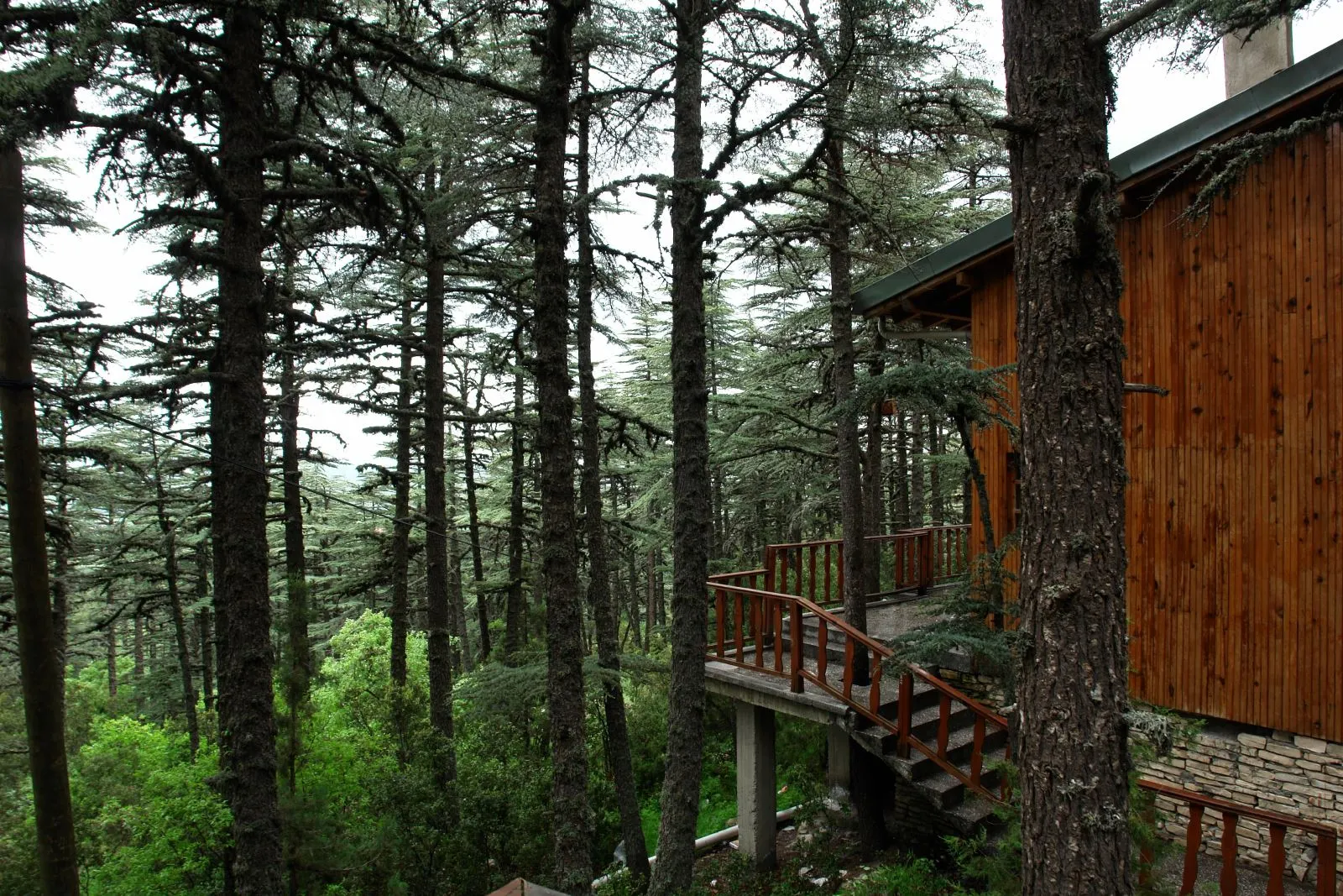
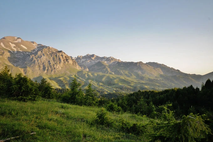
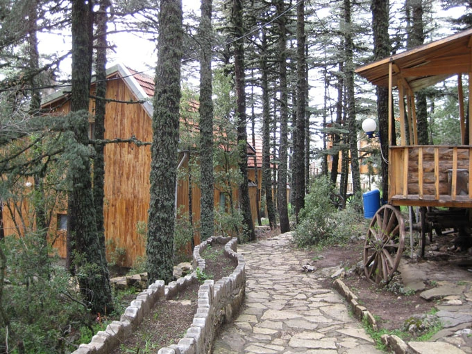
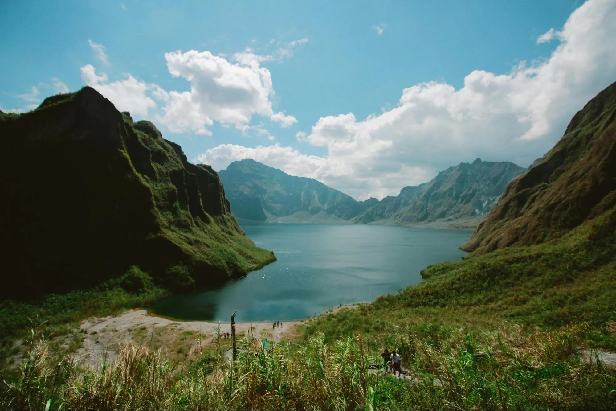
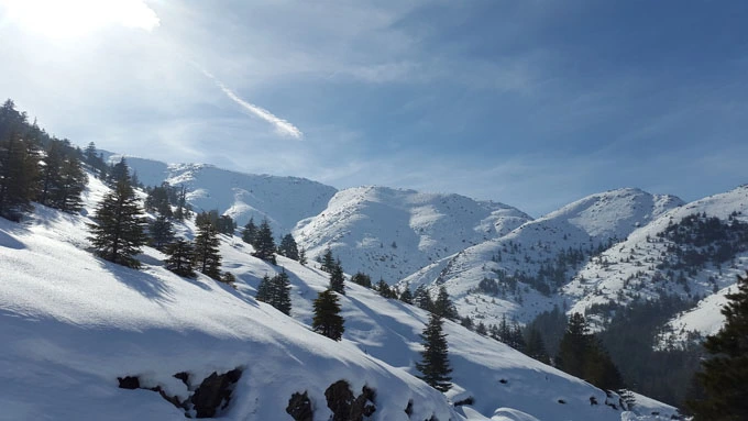
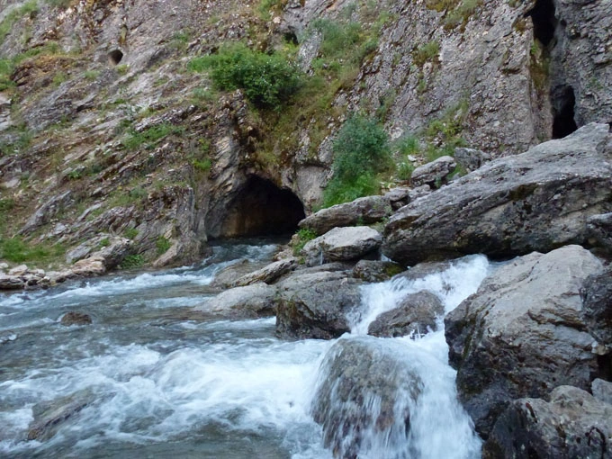
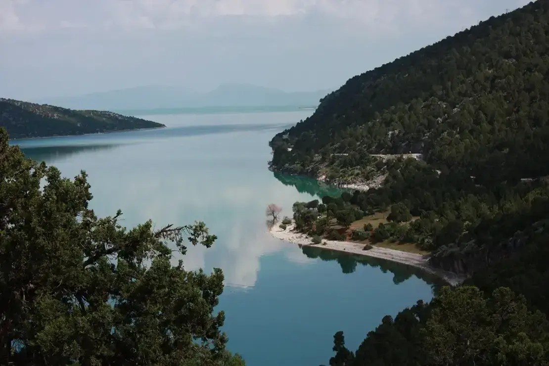
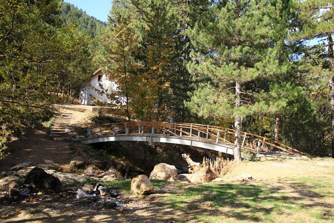
Its geological structure consists of limestones and karstic landforms. Tectonic movements have a role in the formation of Beyşehir Lake, which is a karstic polye.
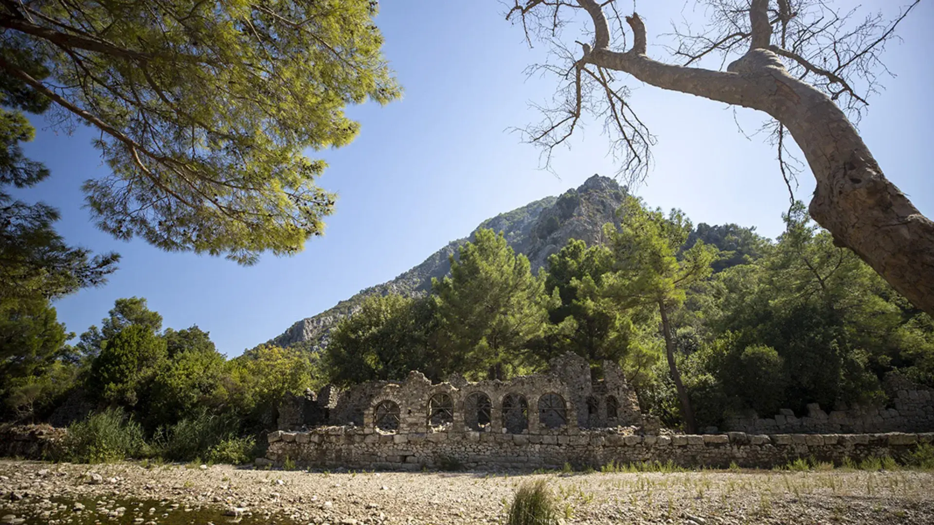
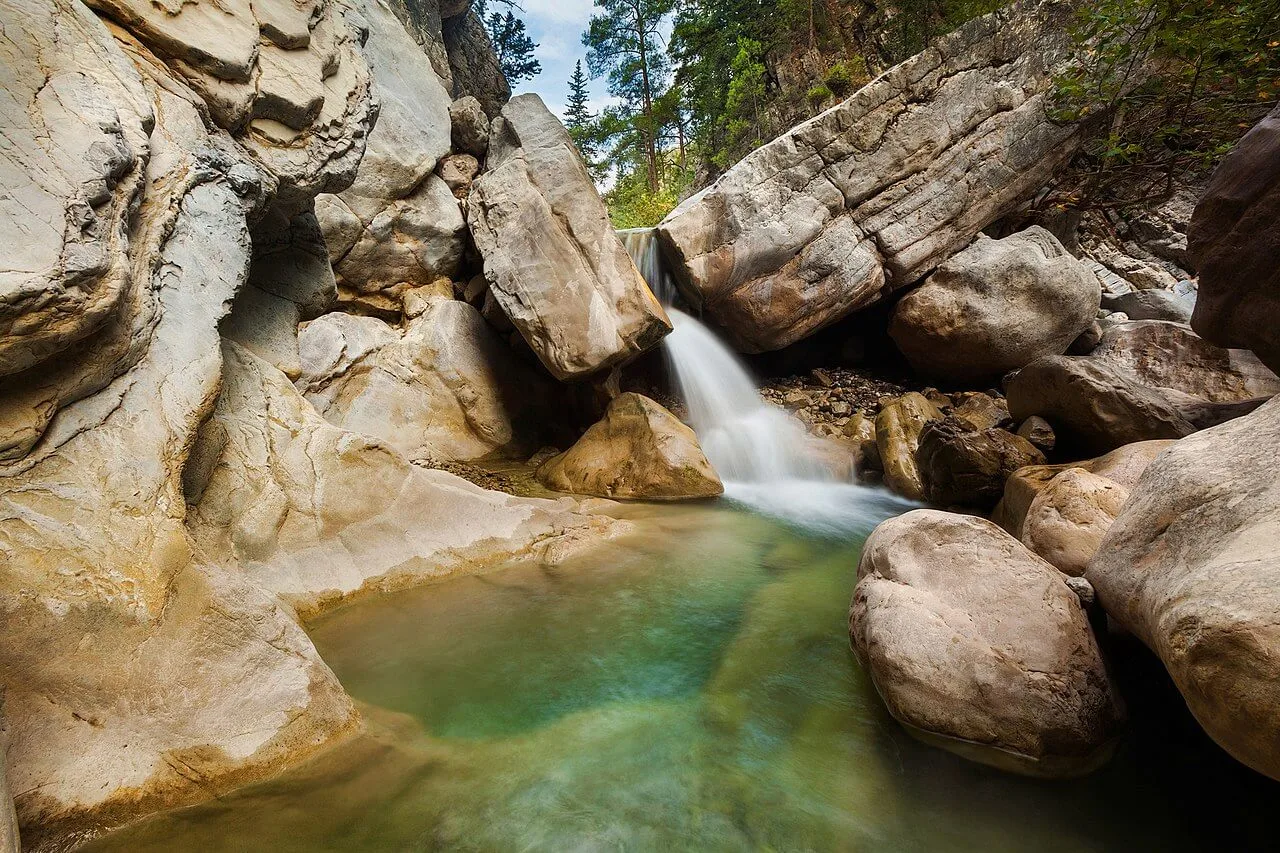
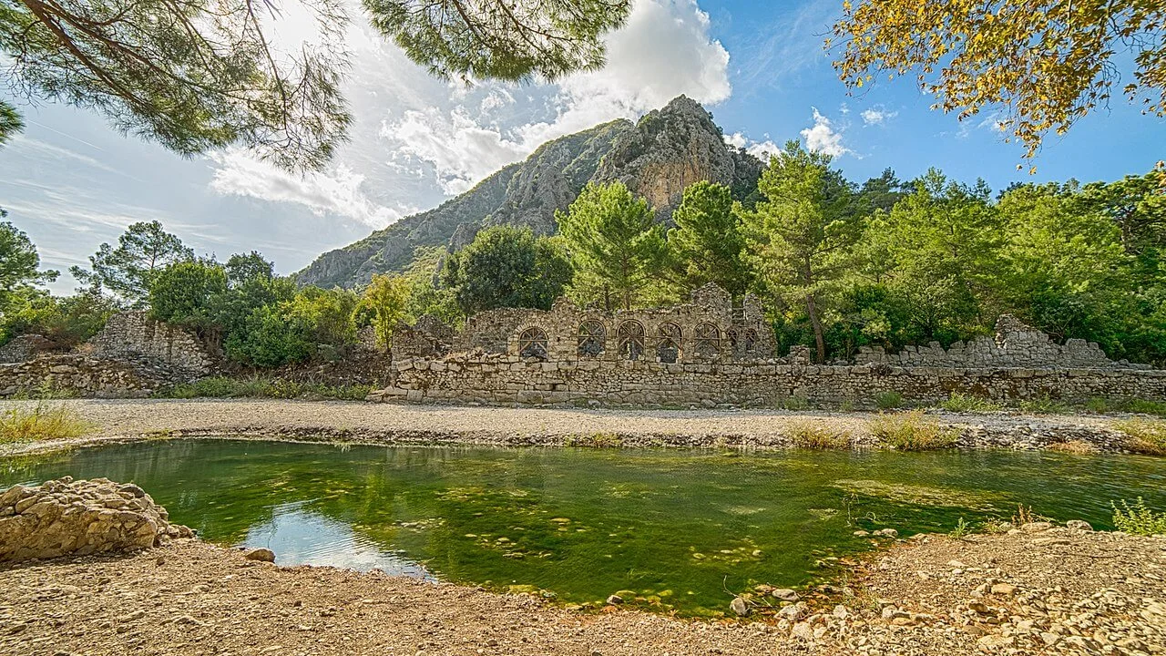
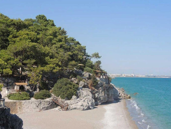
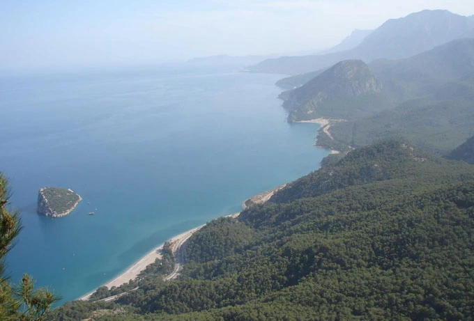
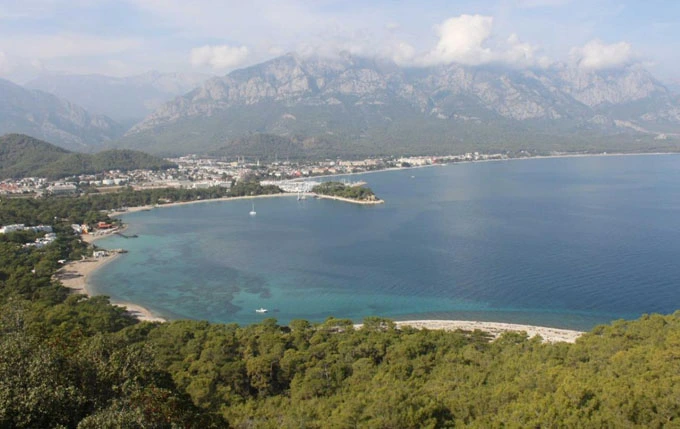
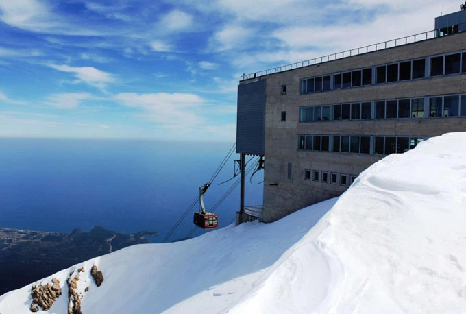
The geological structure of the region, which includes the Young Mountains belt of the Western Taurus Mountains, is generally composed of limestone and serpentine rocks. In the mountainous terrain a few kilometers west of Olympos, the natural gas coming out of the cracks in the contact of limestone and serpentine formations and called the "Unquenchable Fire of Lycia" has been burning for centuries and has been passed into the mythos of Bellerophontos under the name of Chimaira (Burning Stone), giving mythological value to the region.
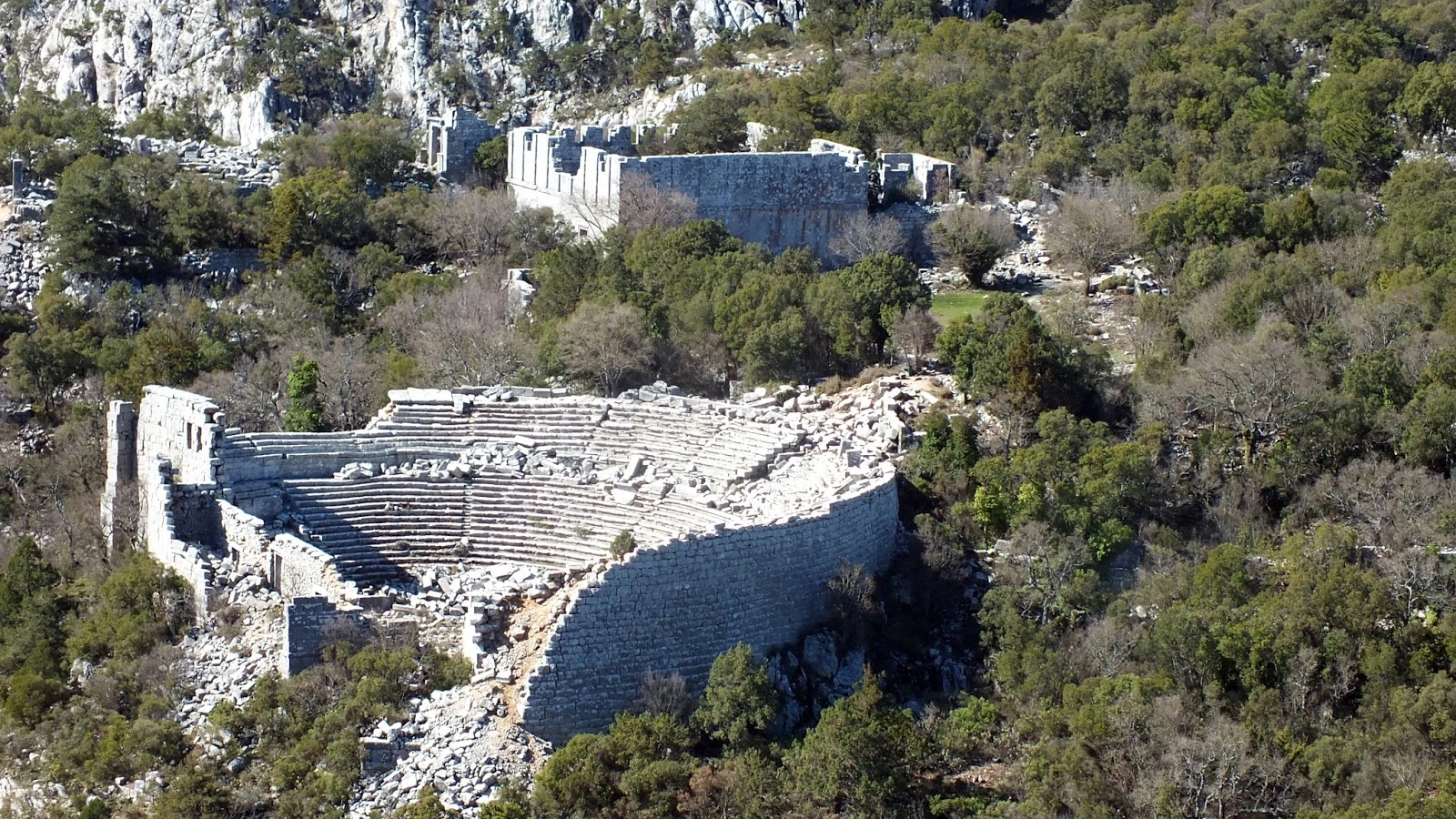
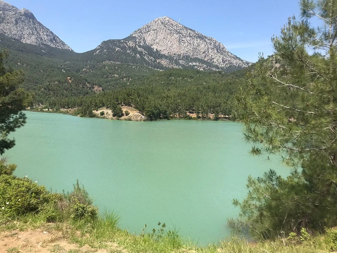
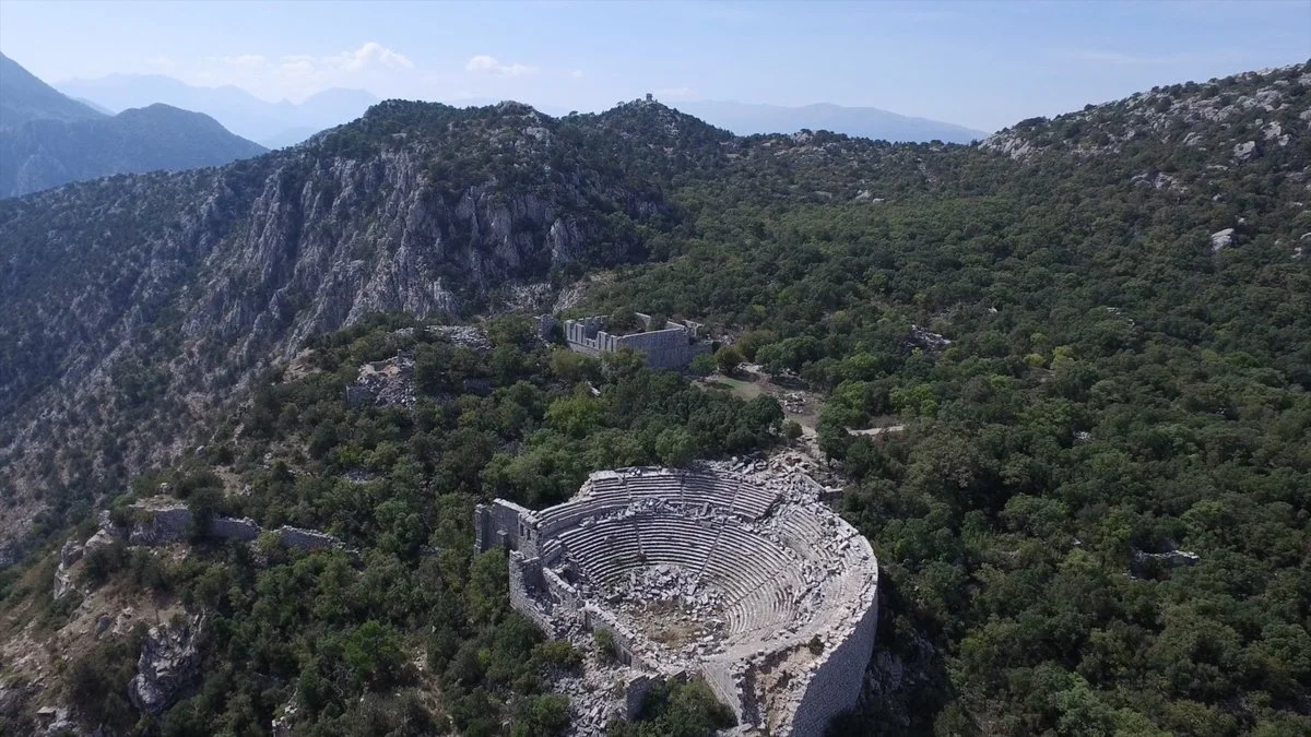
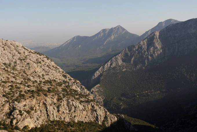
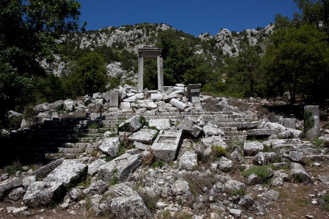
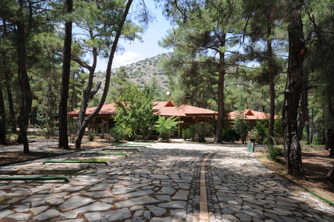
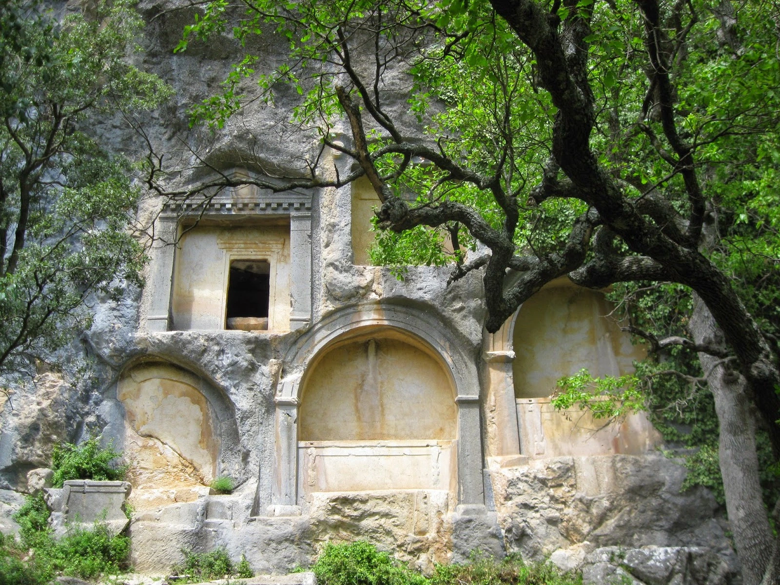
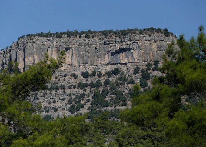
The steep cliffs of Güllük Mountain and the Mecine Canyon, whose walls rise up to 600 m, are the most important geological resource values.
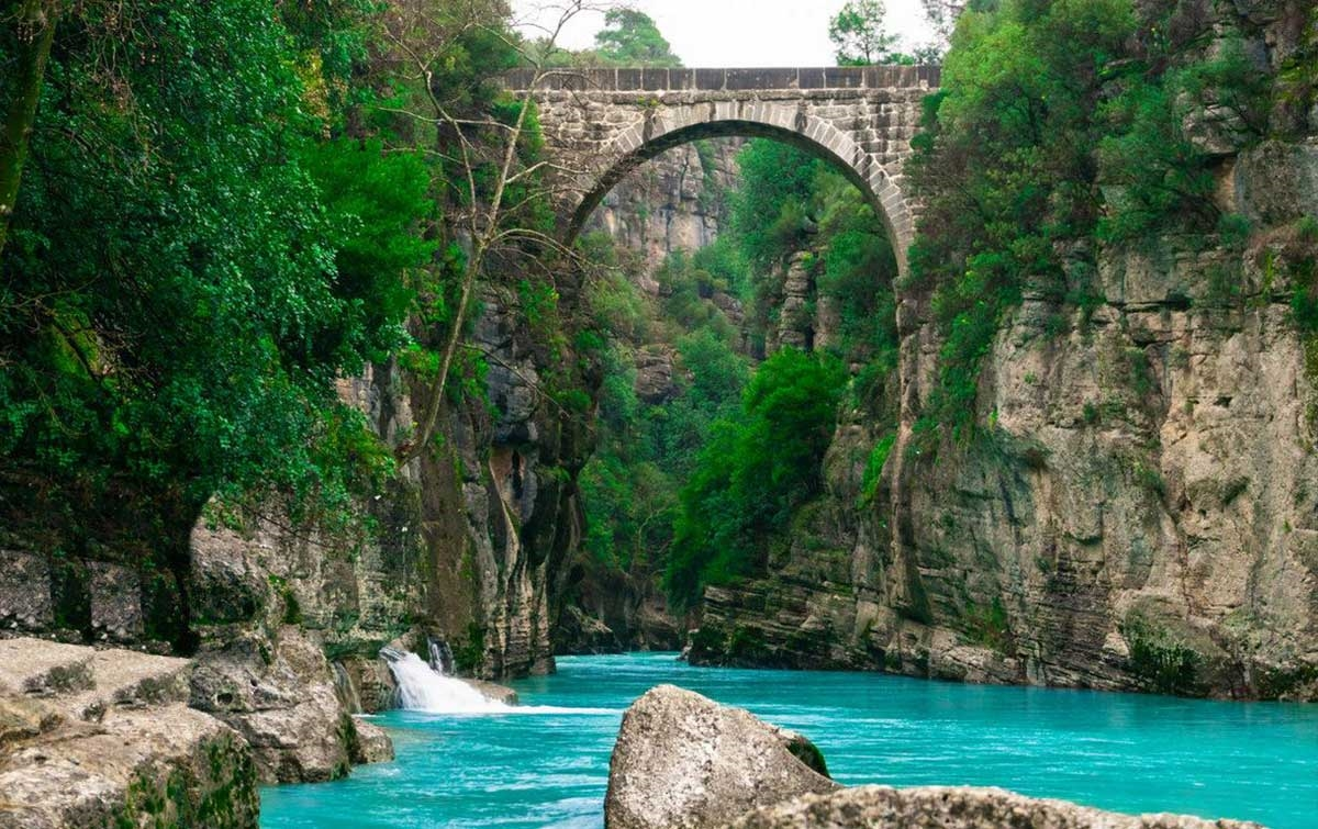
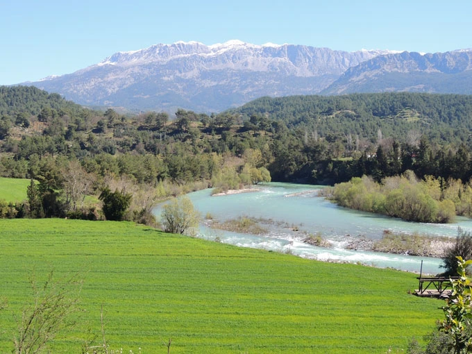
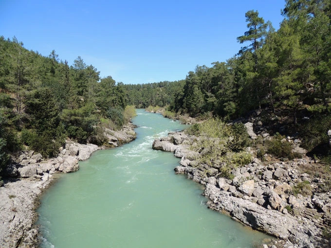
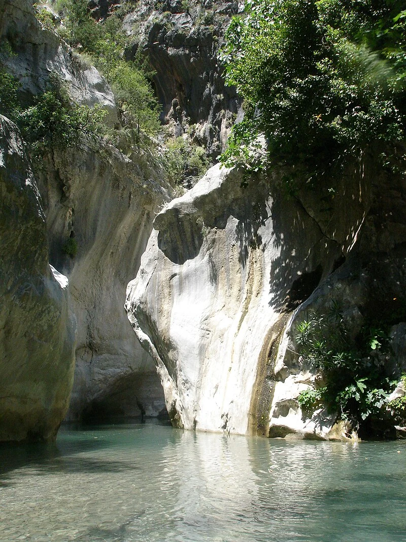
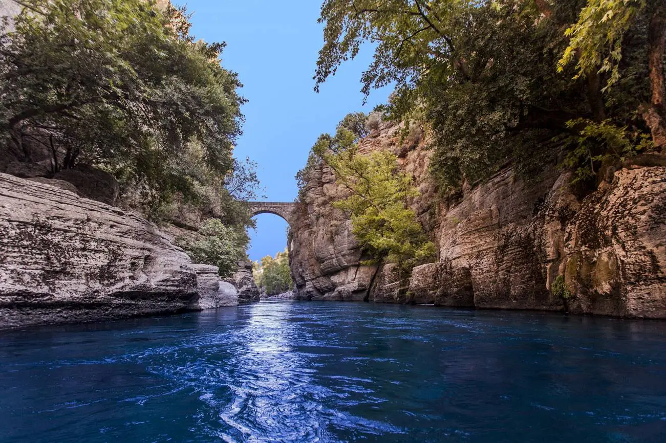
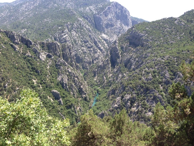
The geological structure of the region consisting of clay, sandstone, conglomerate and limestone rocks allows the formation of karst landforms. The rift valley formed by the Köprü River, which is the main source of the national park, between Bolasan Village and Beşkonak is the longest canyon in our country with a length of 14 km and walls exceeding 100 meters.
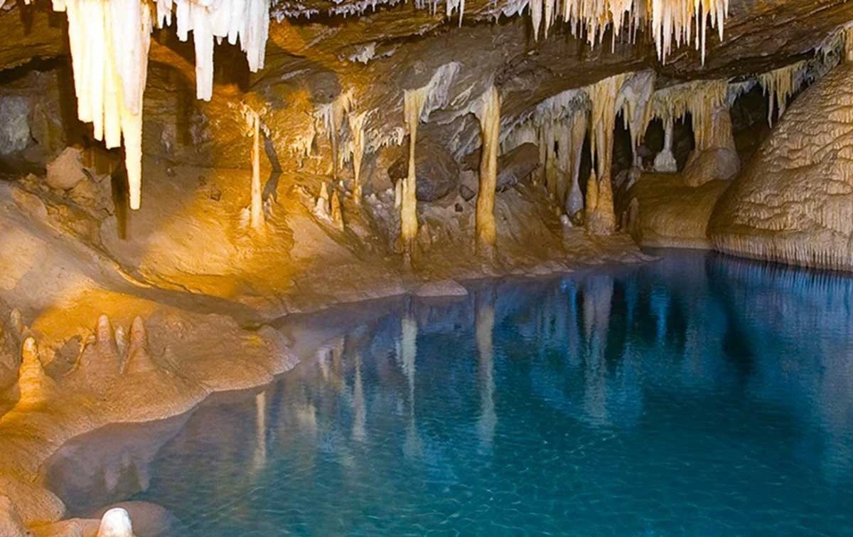
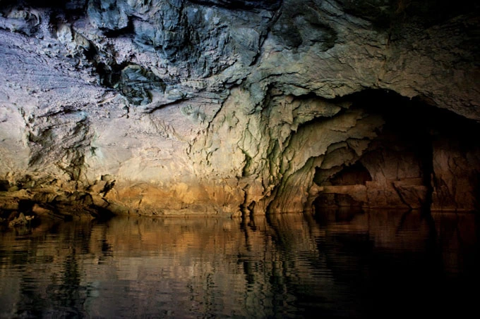
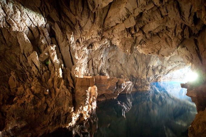
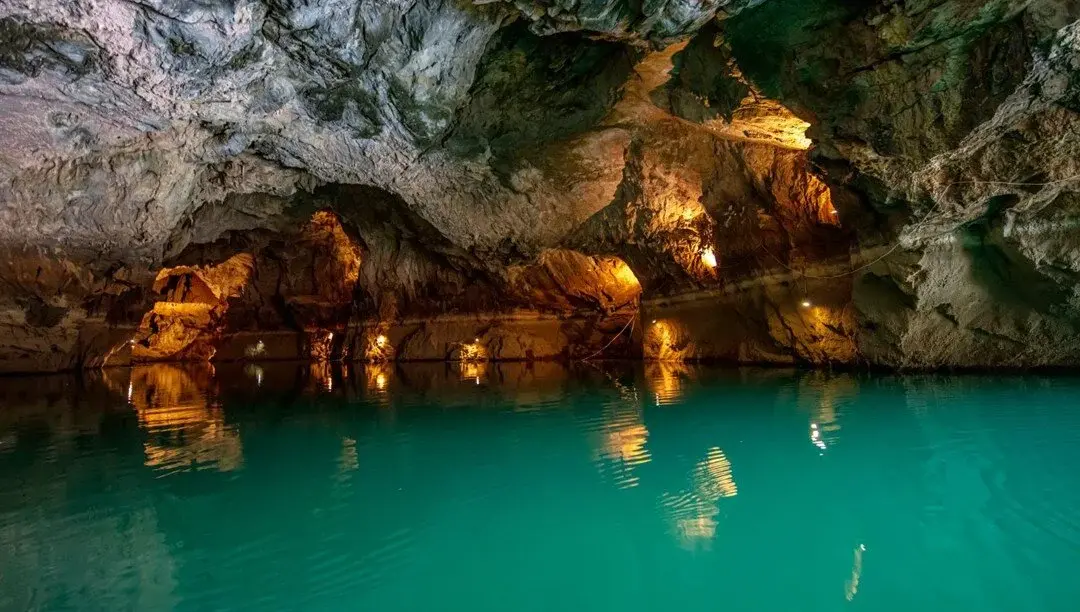
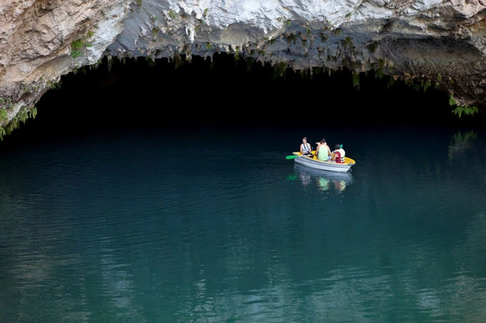
The area where the cave is located and the area around the Manavgat River, where the water from the cave flows, has been home to ancient settlements throughout history, and many historical ruins in the surrounding area offer clues about human life from the past to the present.
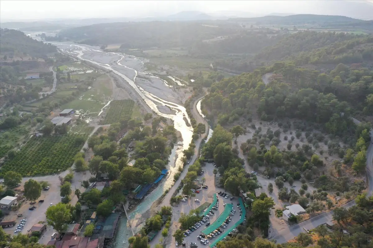
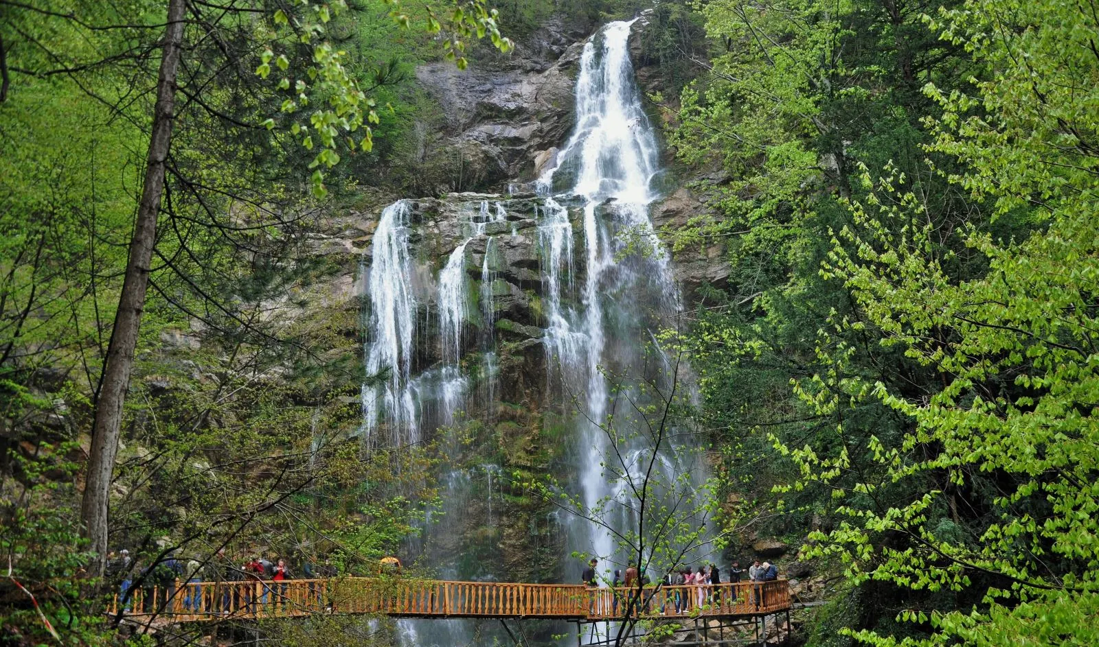
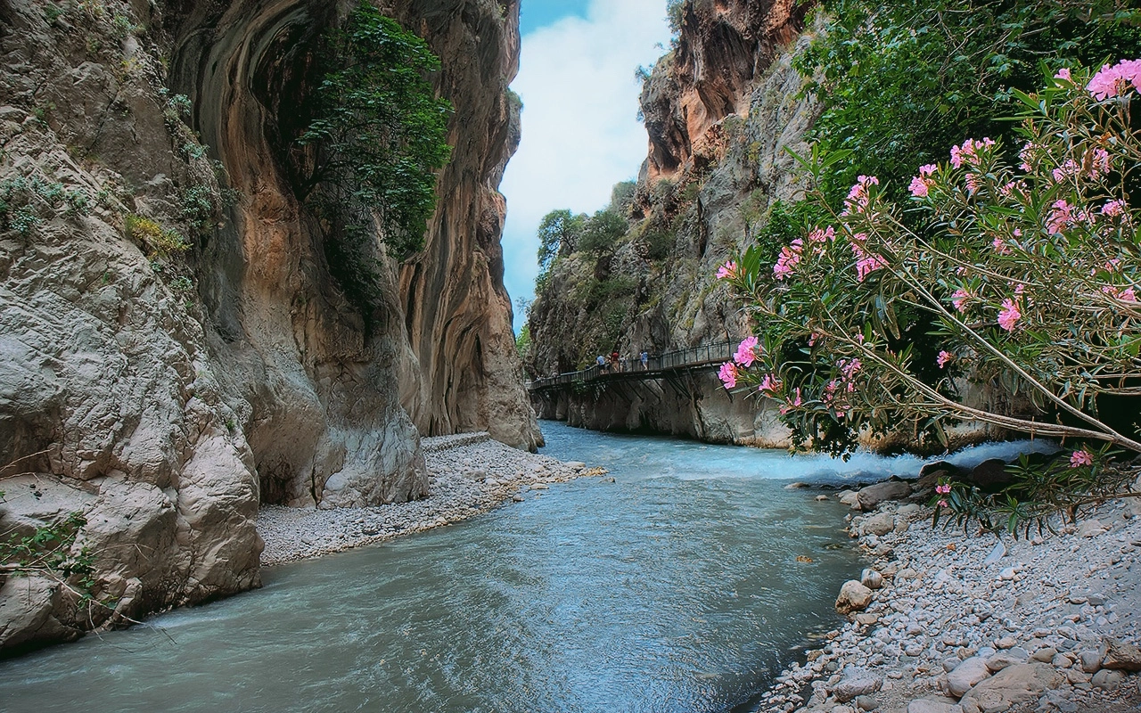
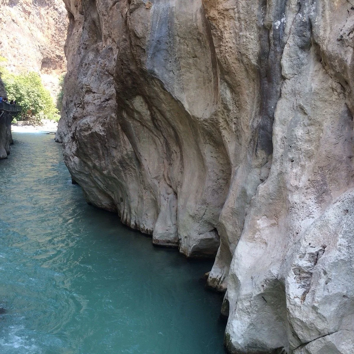
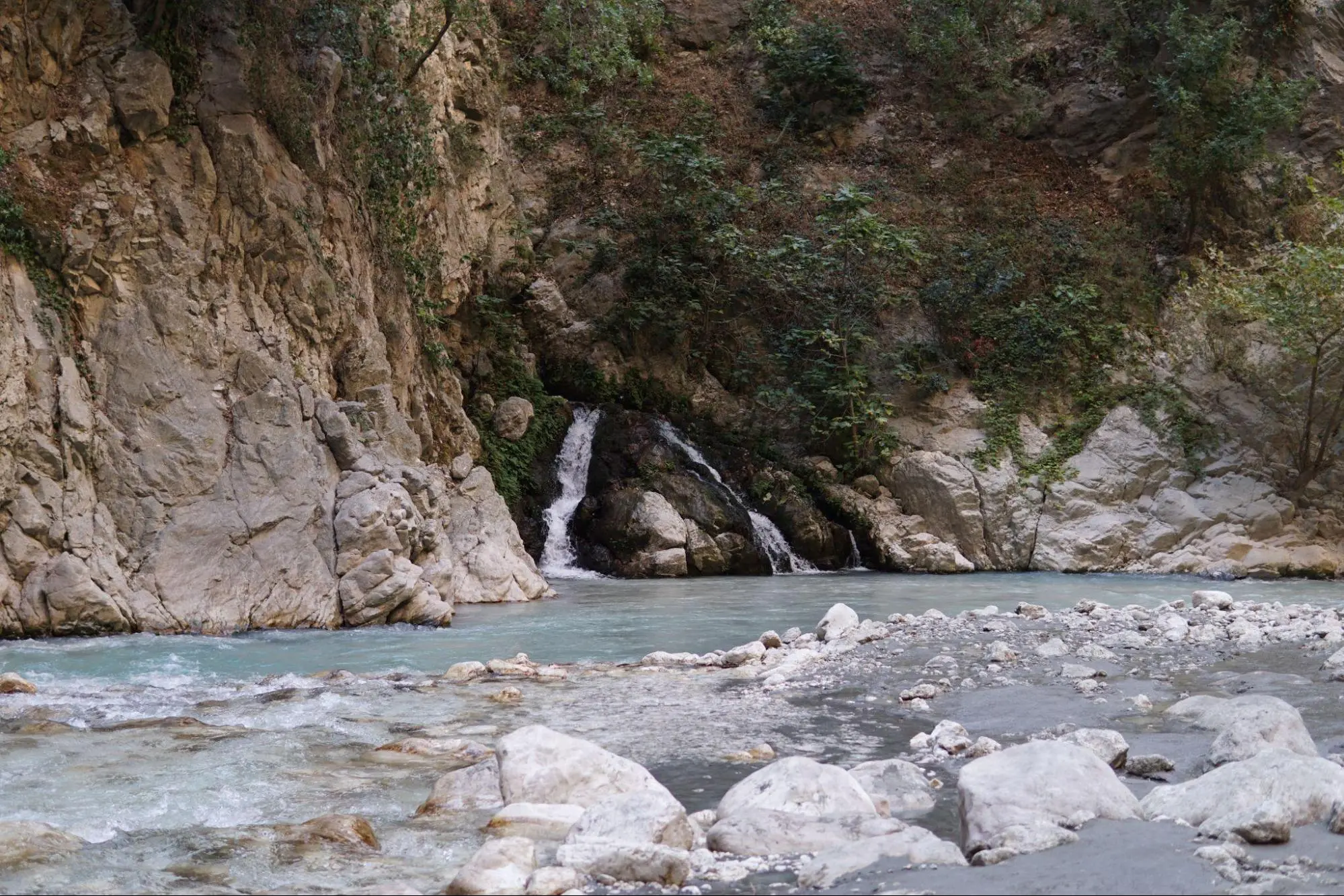
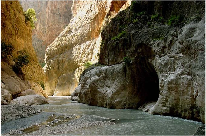
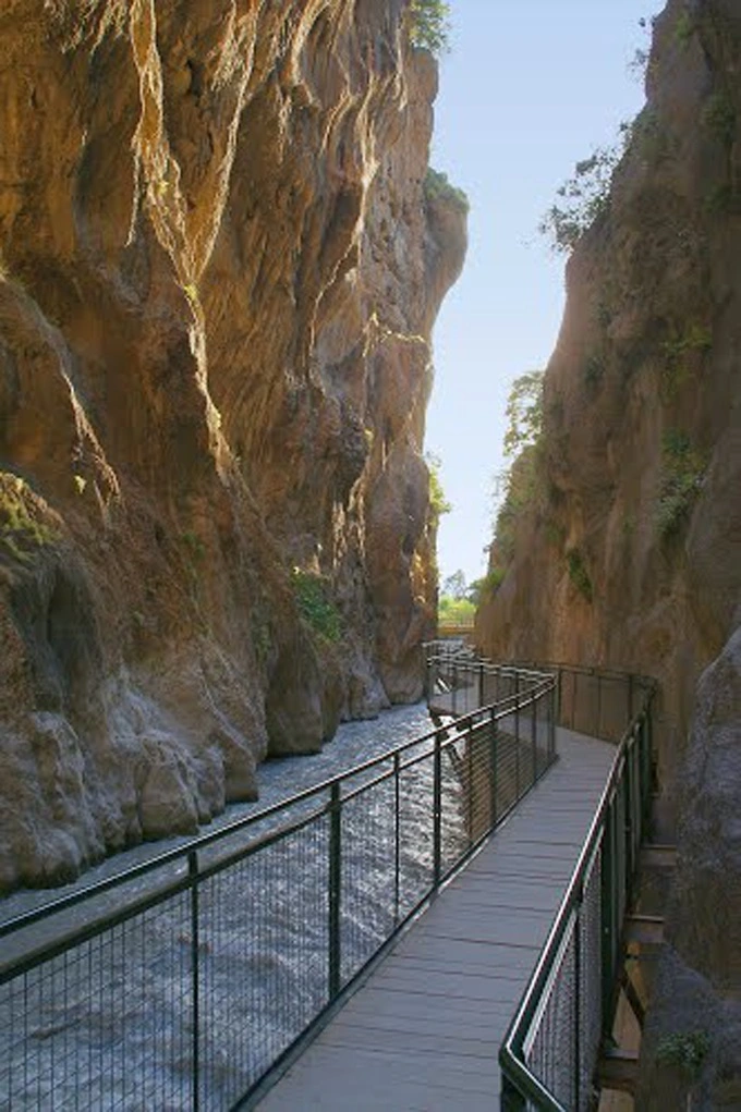
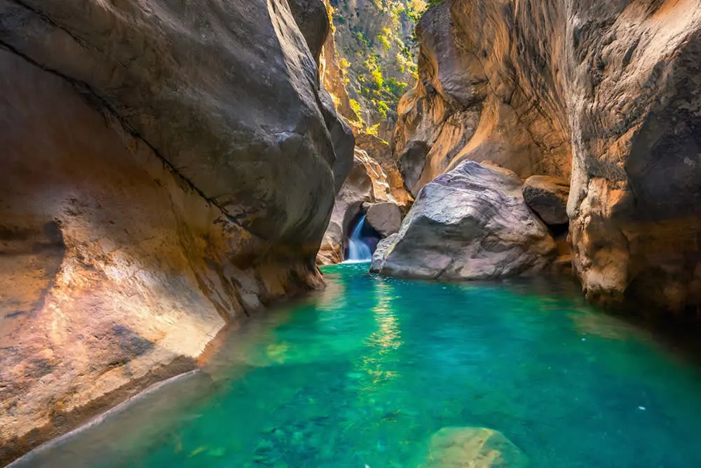
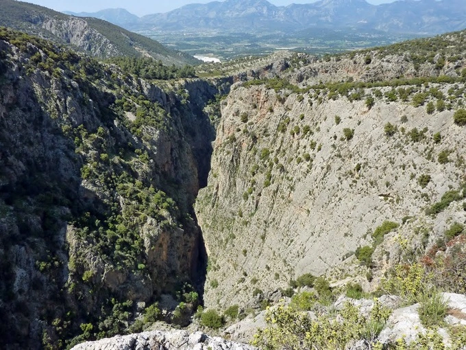
The main resource values of the national park are formed by the Saklıkent Canyon, which is 1000-1100 m. high and has very steep valley slopes. Especially in Saklikent Canyon, it is observed that some sections contribute to the formation of the canyon as a result of the collapse of karst tunnels.
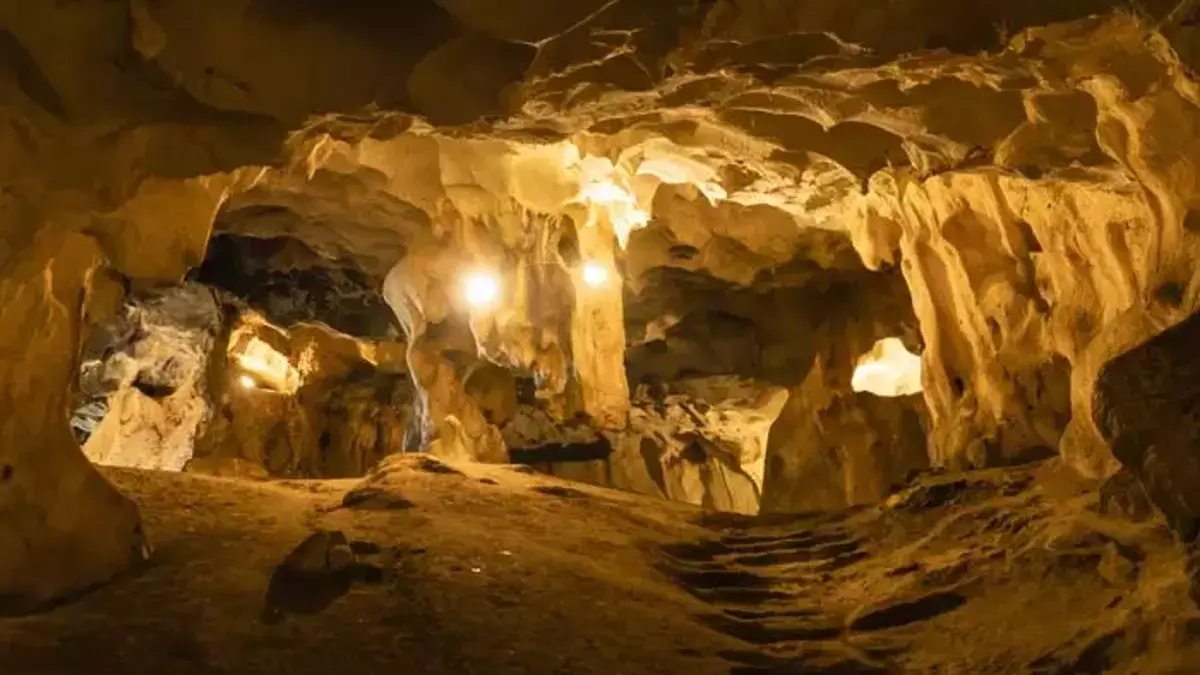
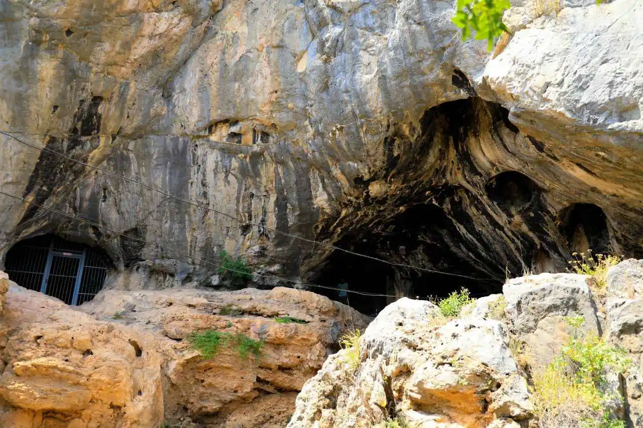
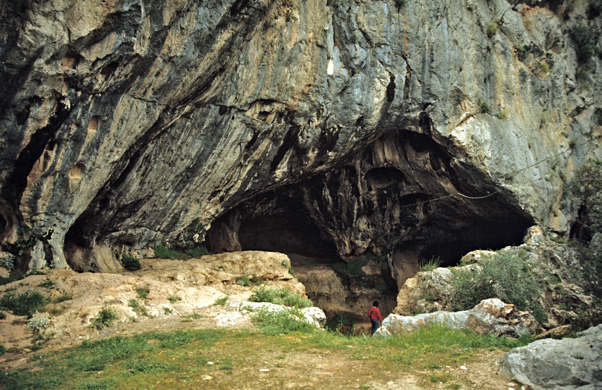
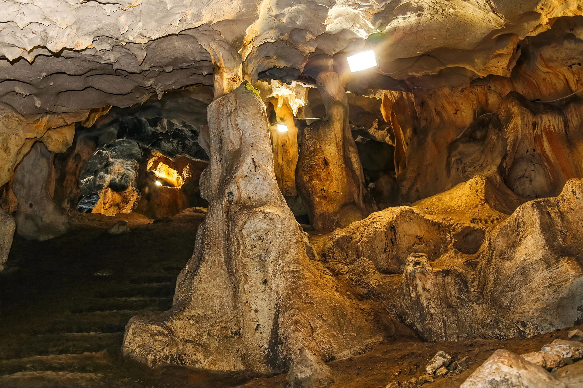
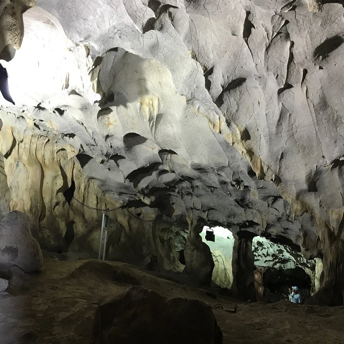
30 km from Antalya. 5-6 km northwest of the old Antalya-Burdur highway. It is located within the borders of Yağca village. Karain Cave, one of the largest natural caves in Turkey, is 150 meters from the travertine plain in front of it and 430-450 meters from the sea. is in height.
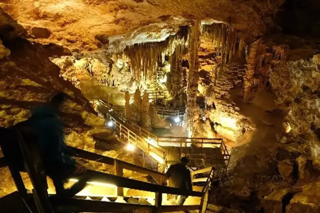
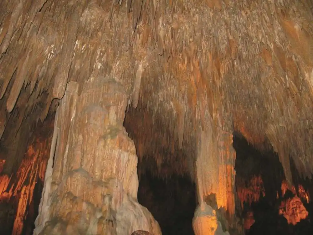
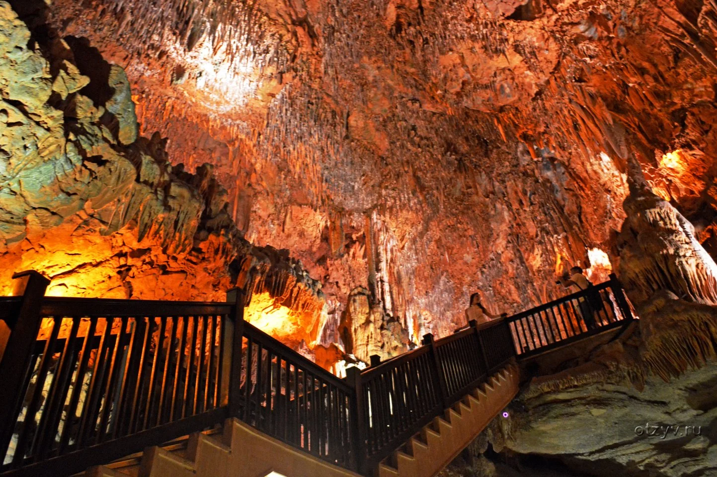
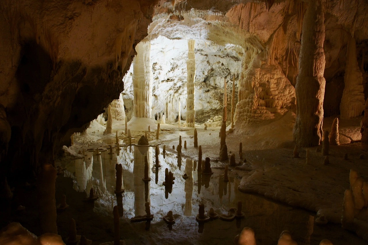
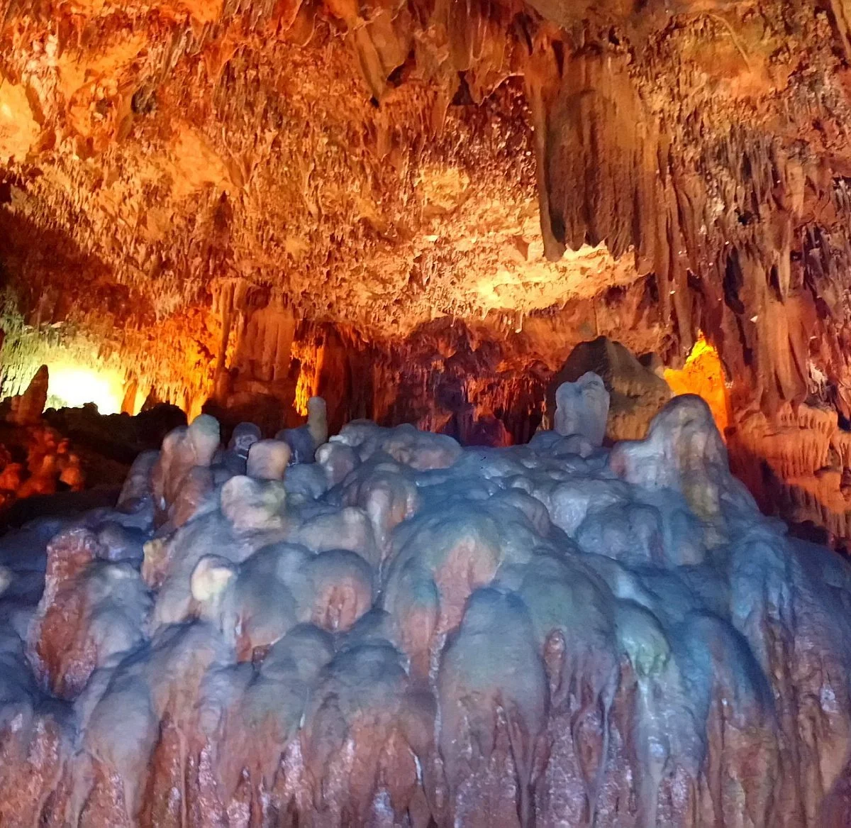
The cave is located in Alanya and by the sea. It is 3 km. away from the center. The cave; which has a total length of 30 m; is of dry and horizontal cave type. It covers an area of 200 meters.
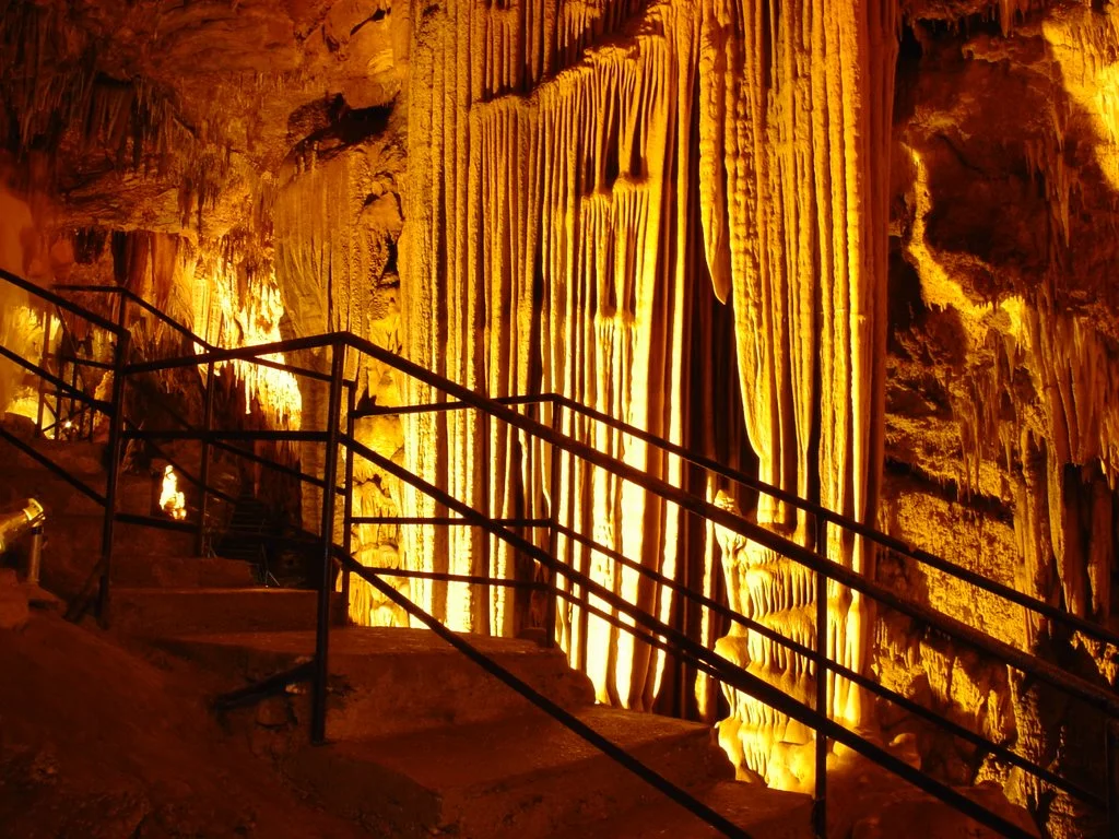
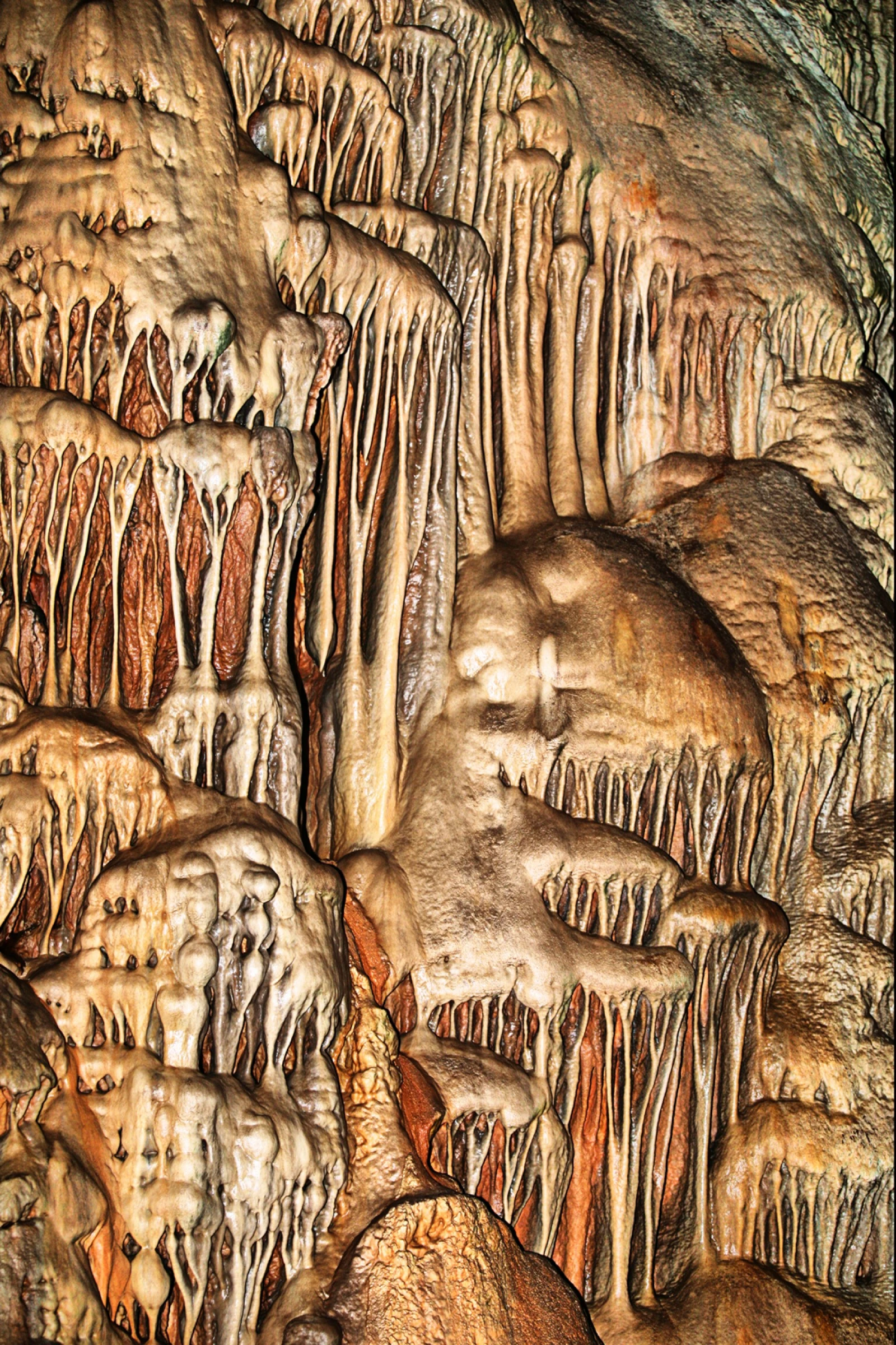
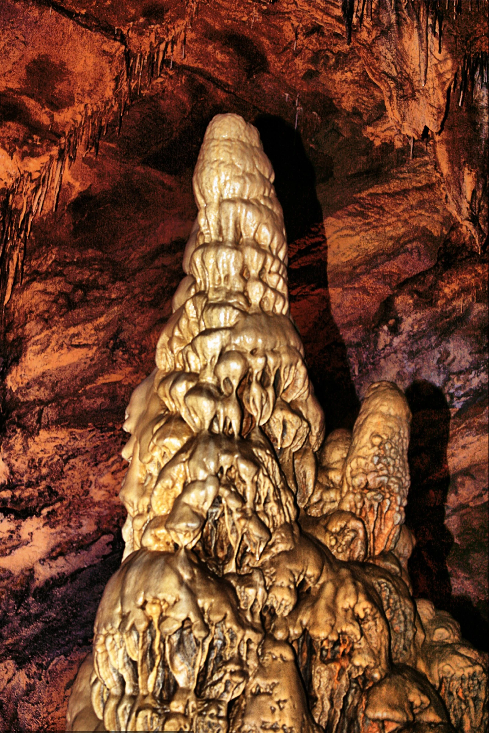
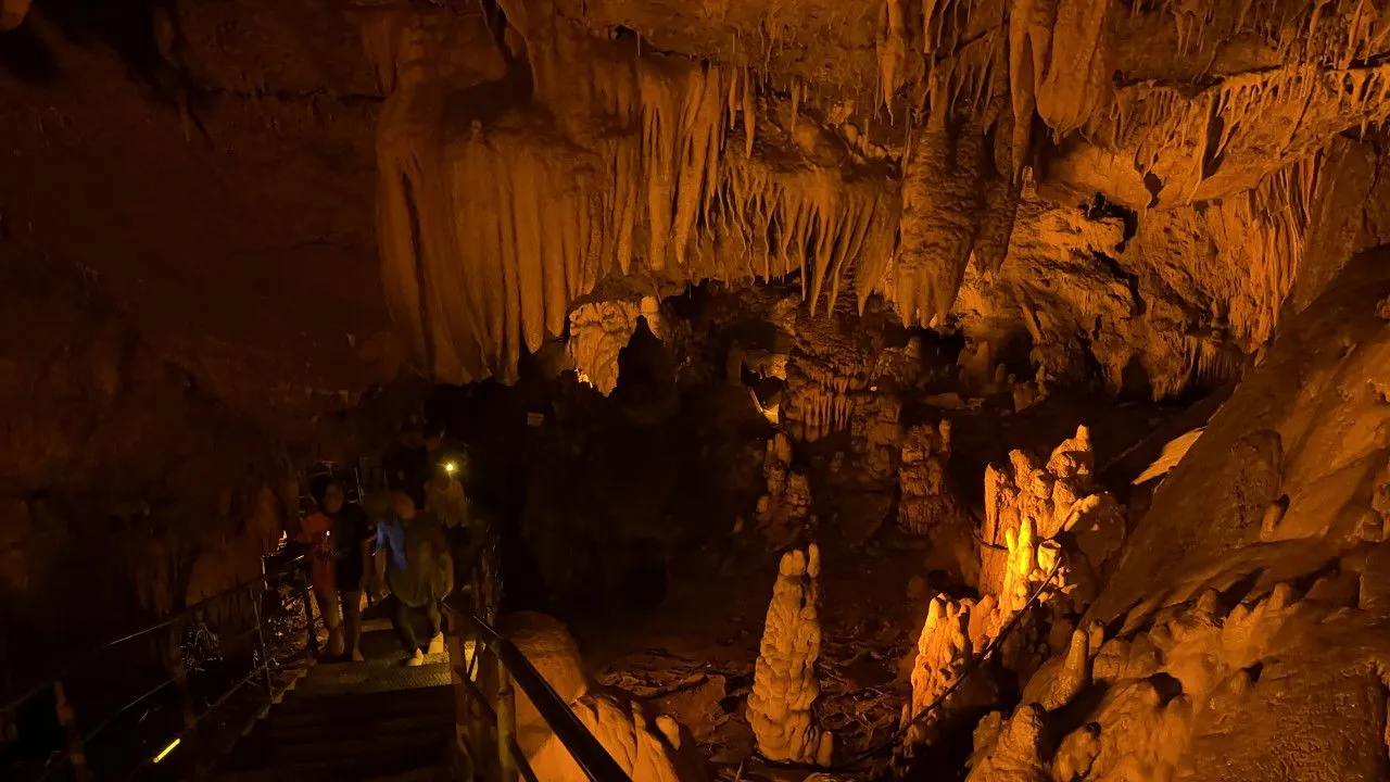
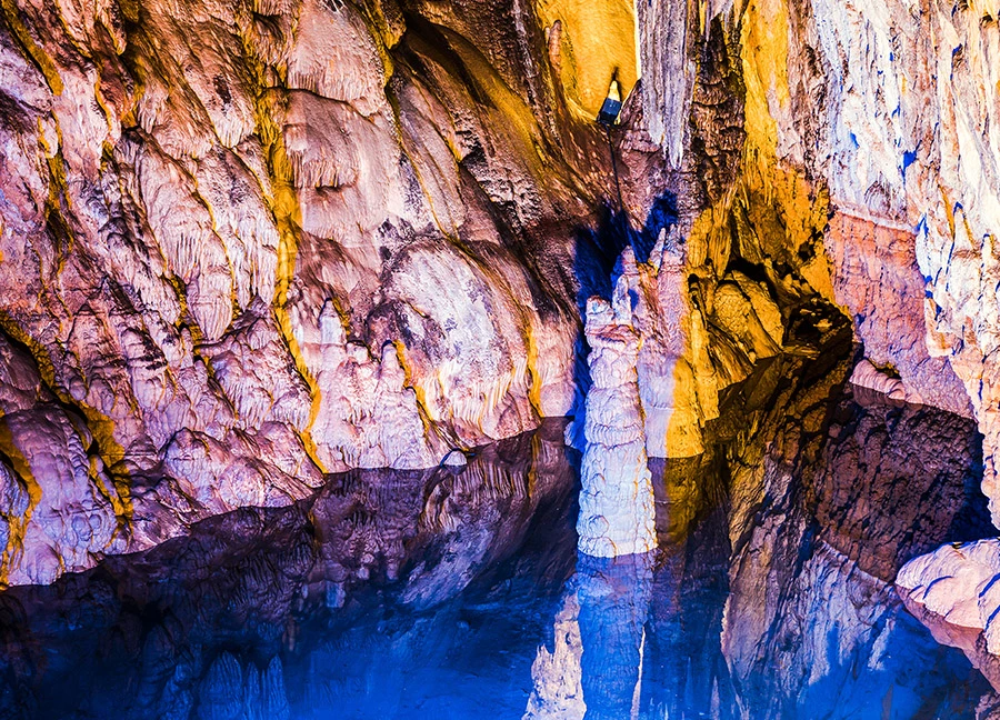
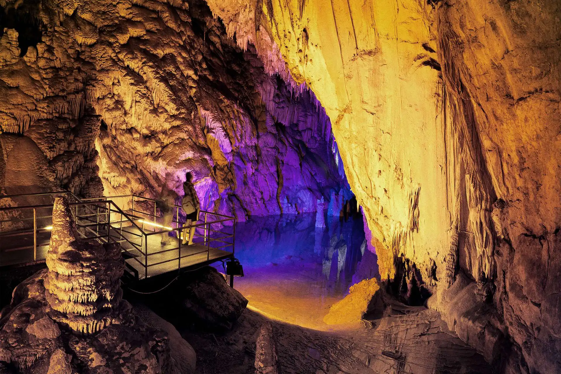
It is on the slope of Cebereis Mountain, 12 km. east of Alanya center. Dim Cave is one of the most beautiful caves in Turkey. It is suitable for visiting because it is close to Alanya and the surrounding area is covered with picnic areas and forests. It was called "Gâvurini Cave" by the local people because it was used as a shelter by people in prehistoric and historical times.
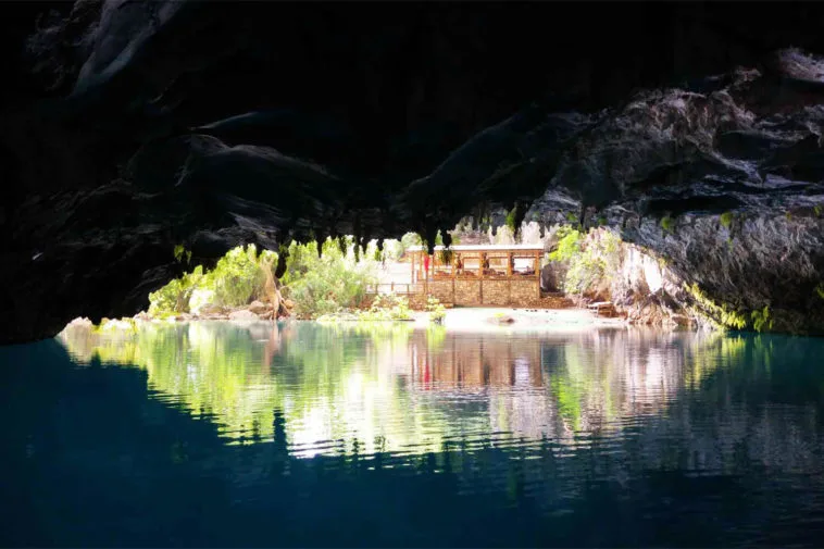
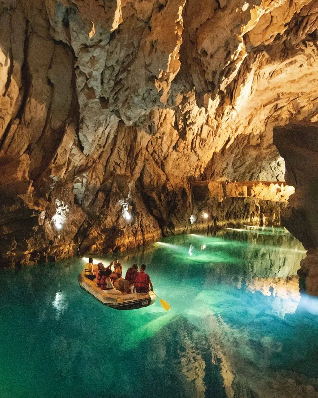
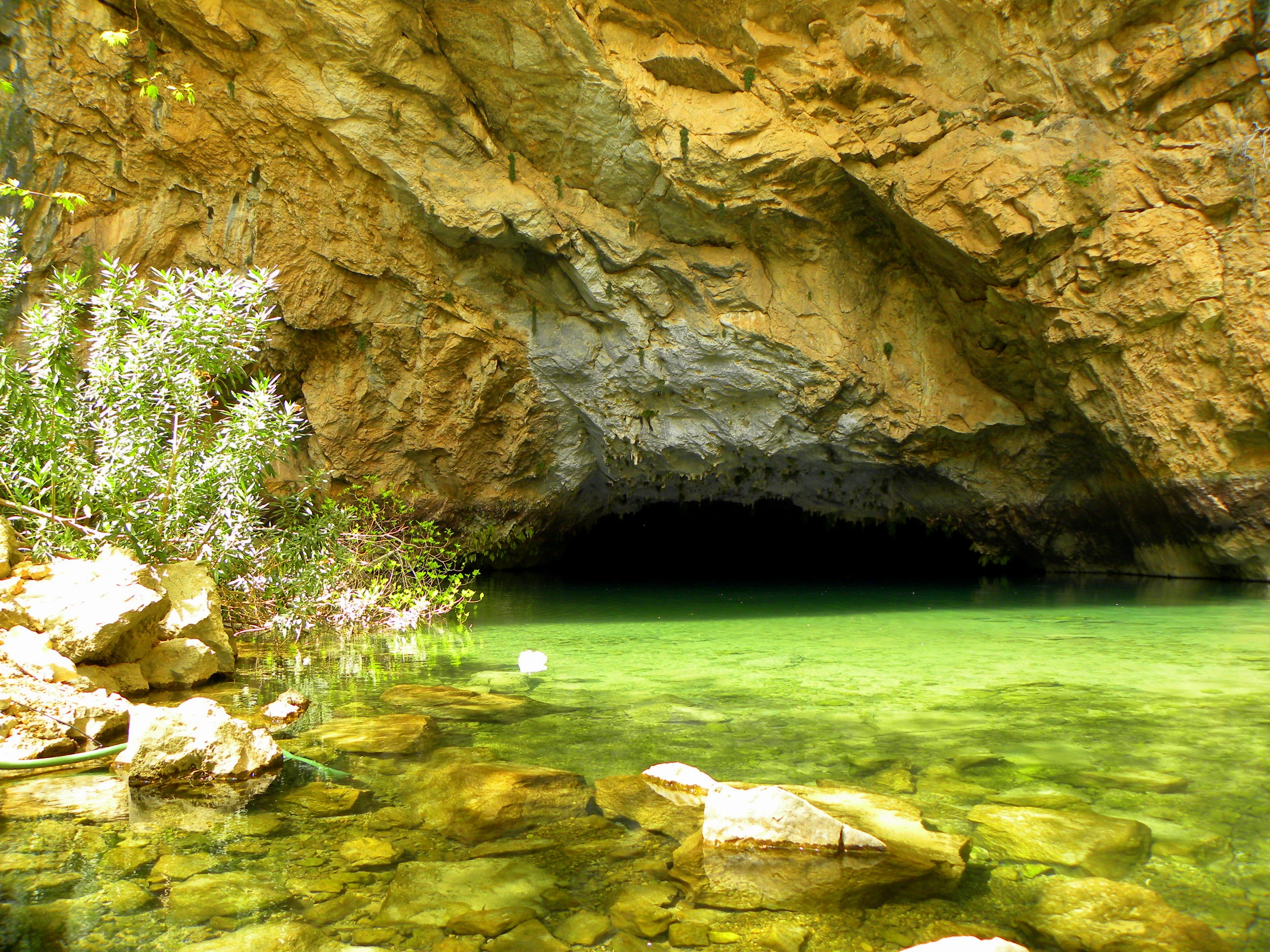
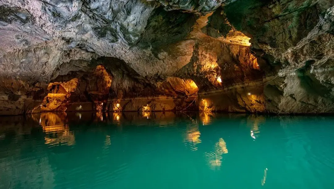
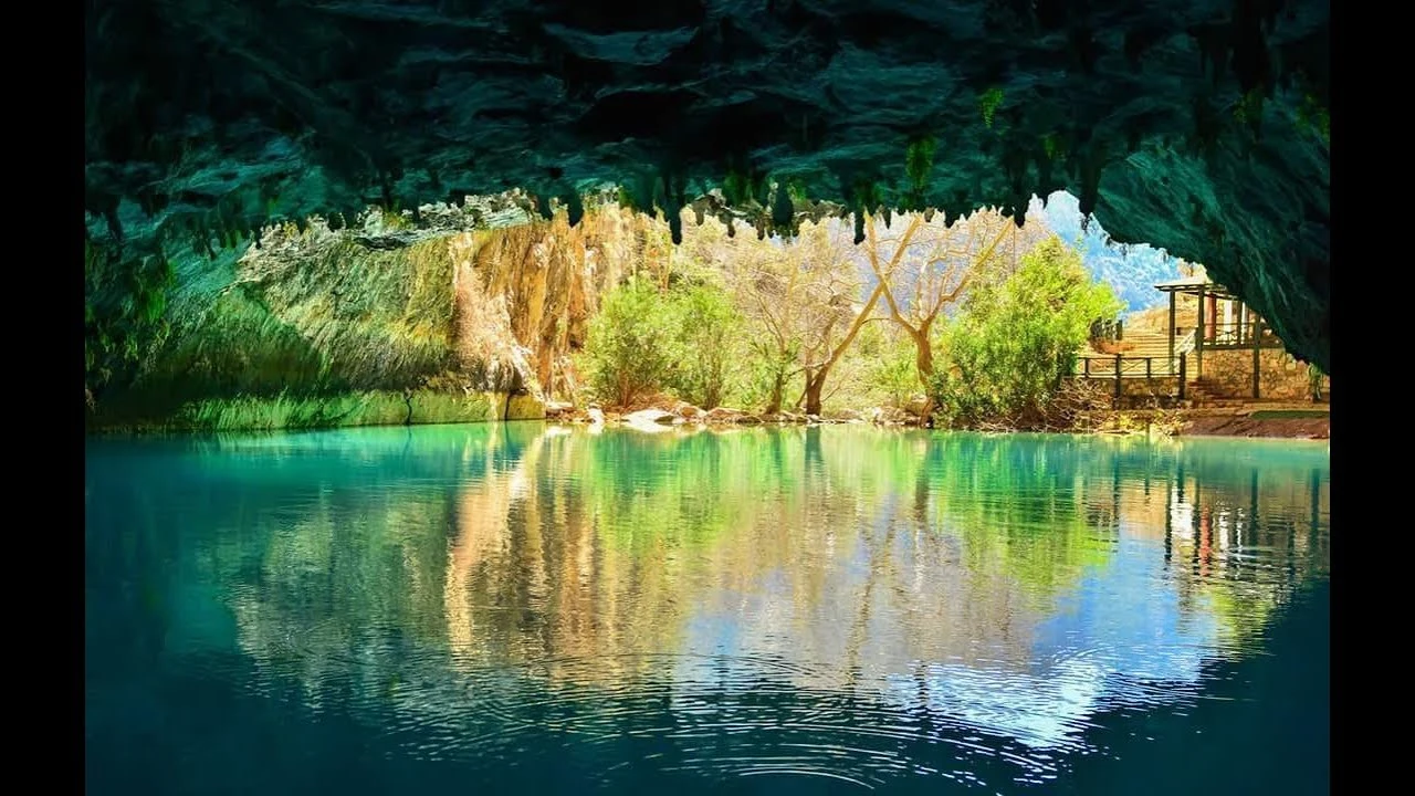
It is located on the western slope of the deep and steep Manavgat Valley east of Ürünlü village in Akseki district. The cave in the village can only be reached by a one-hour walk. The total length of the cave is 2500 m. The highest point of the cave is 101 m according to the entrance.
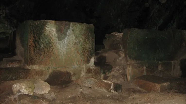
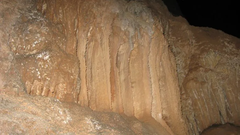
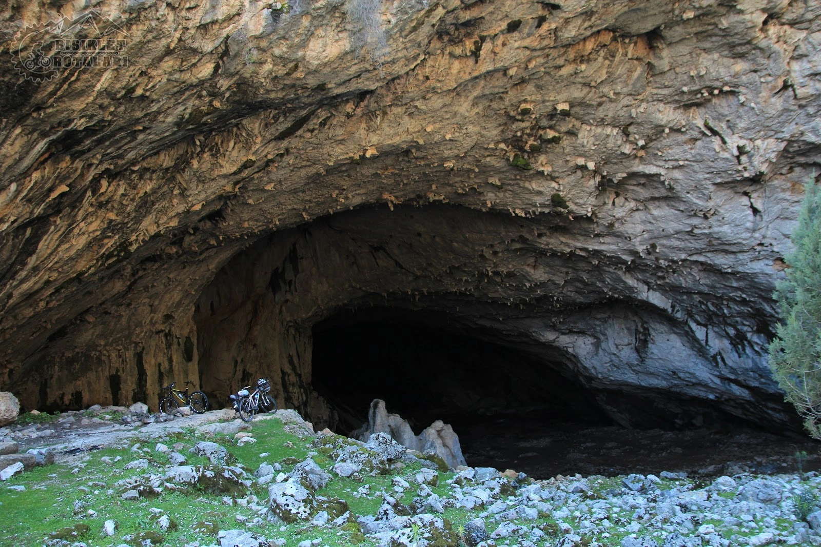
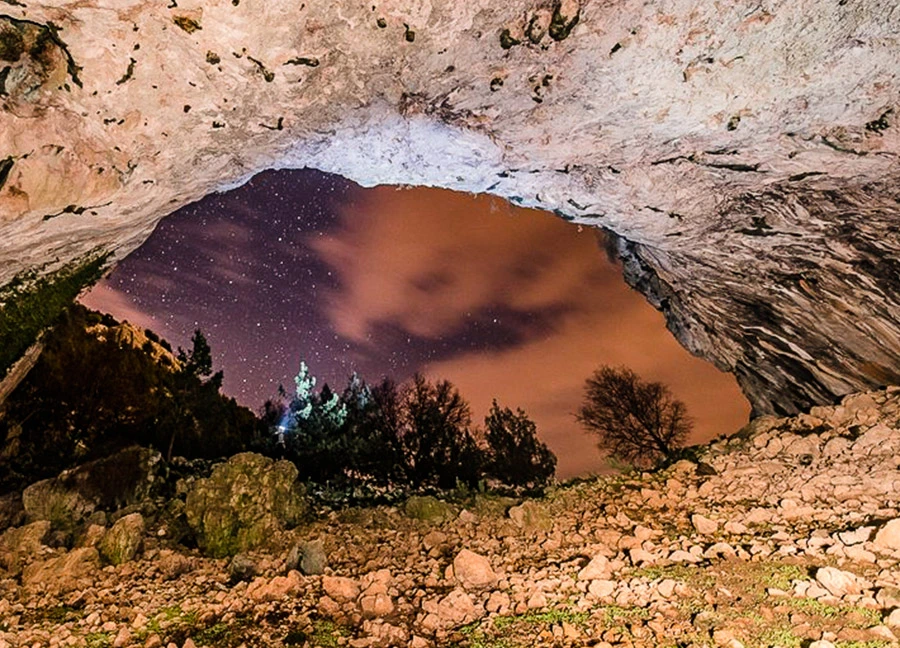
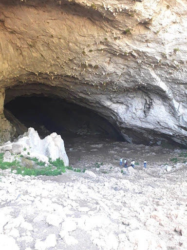
It is located 45 km. north of Antalya. It can be reached from Antalya-Burdur highway via Camiliköy-Ahırtaş villages. It is a cave with the widest mouth and the largest single gallery in Turkey.
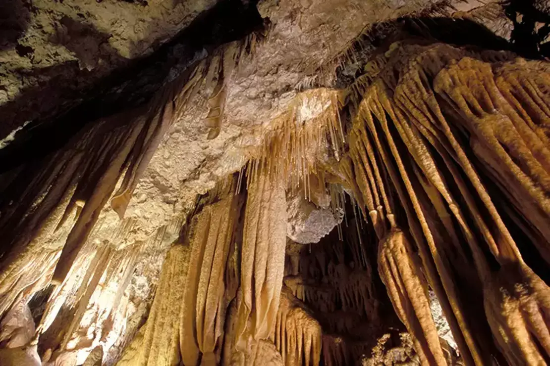
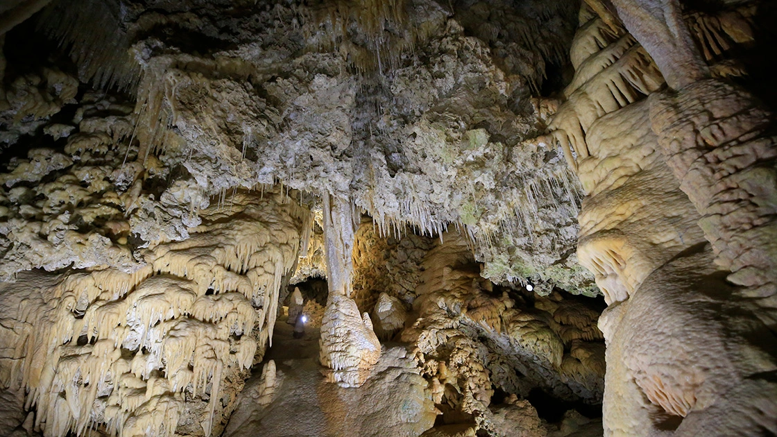
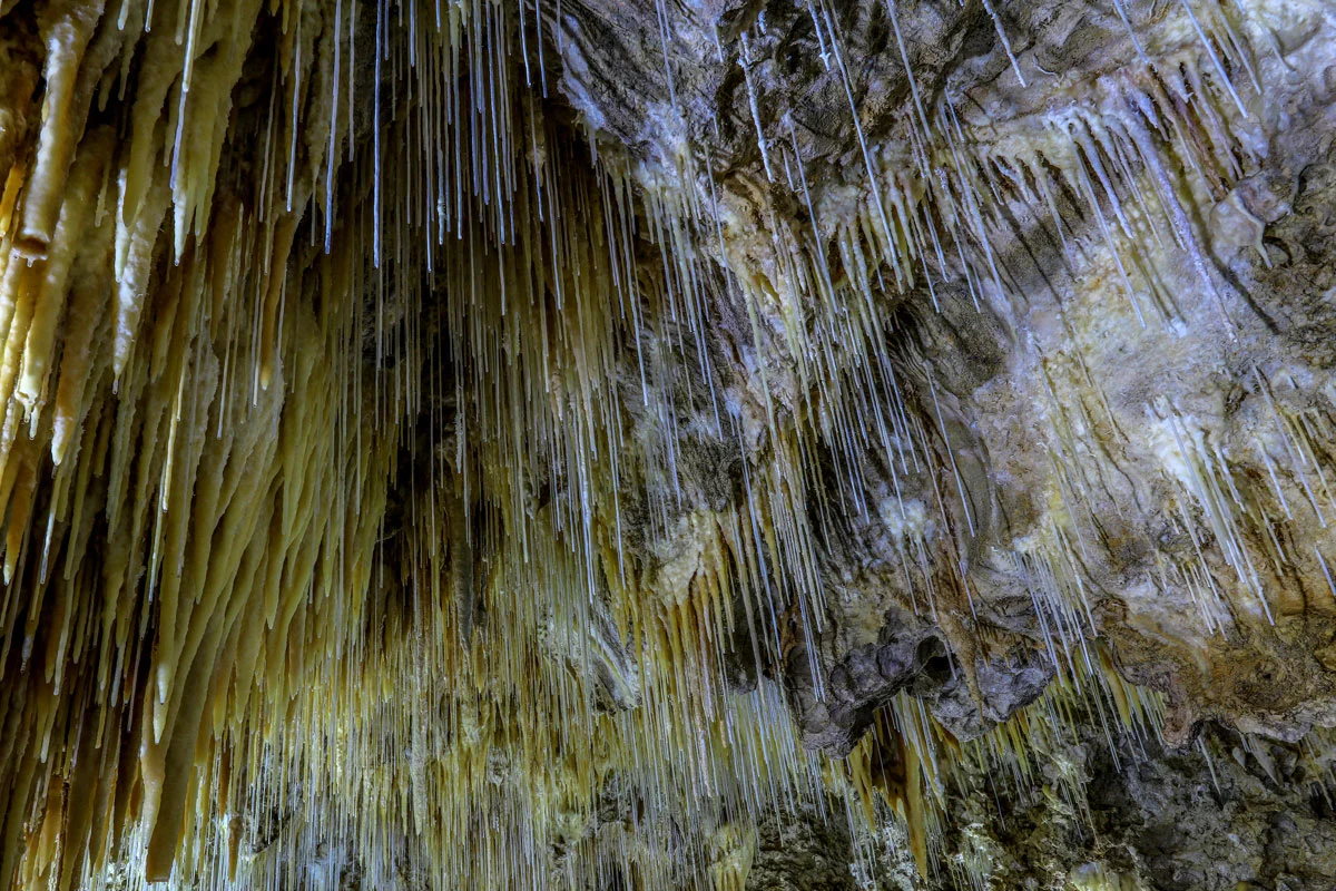
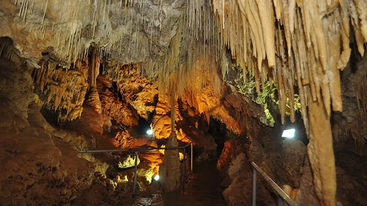
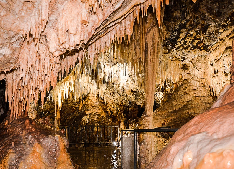
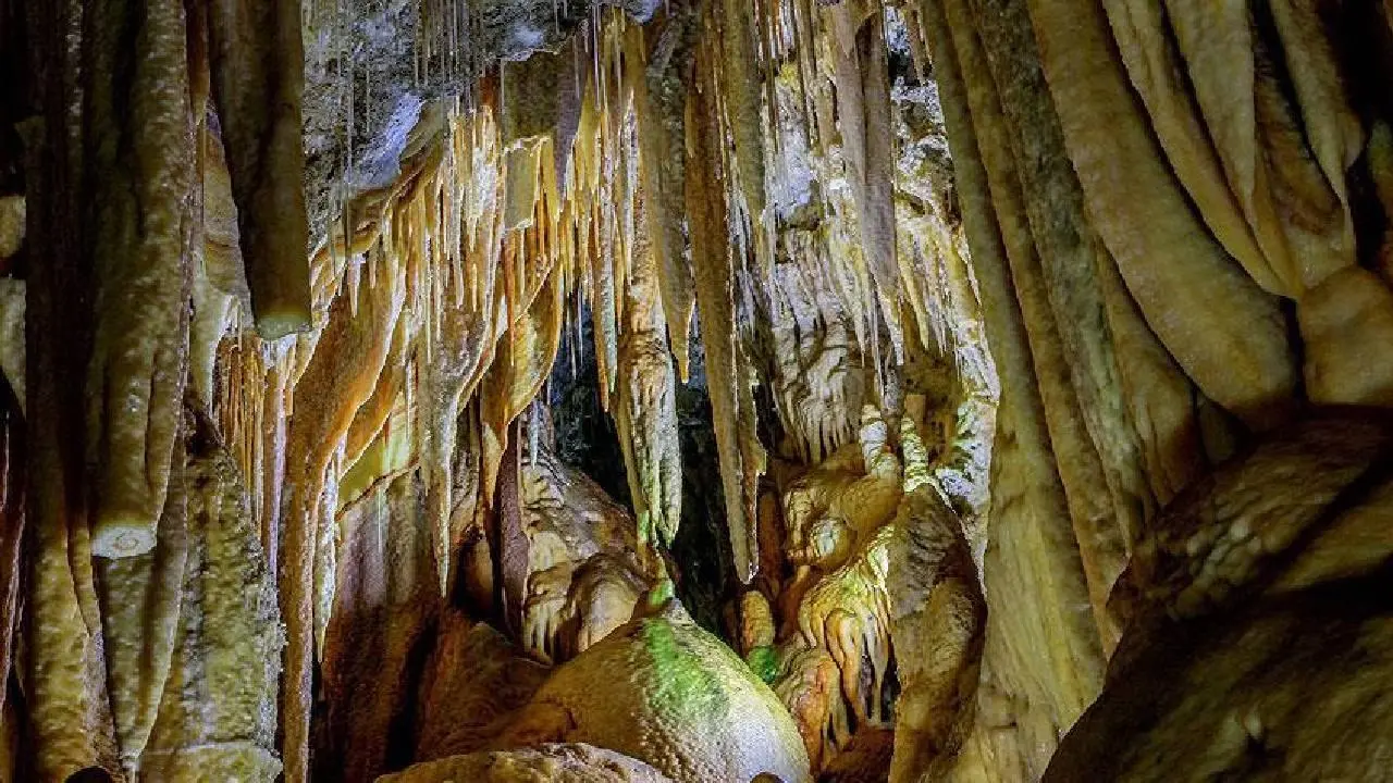
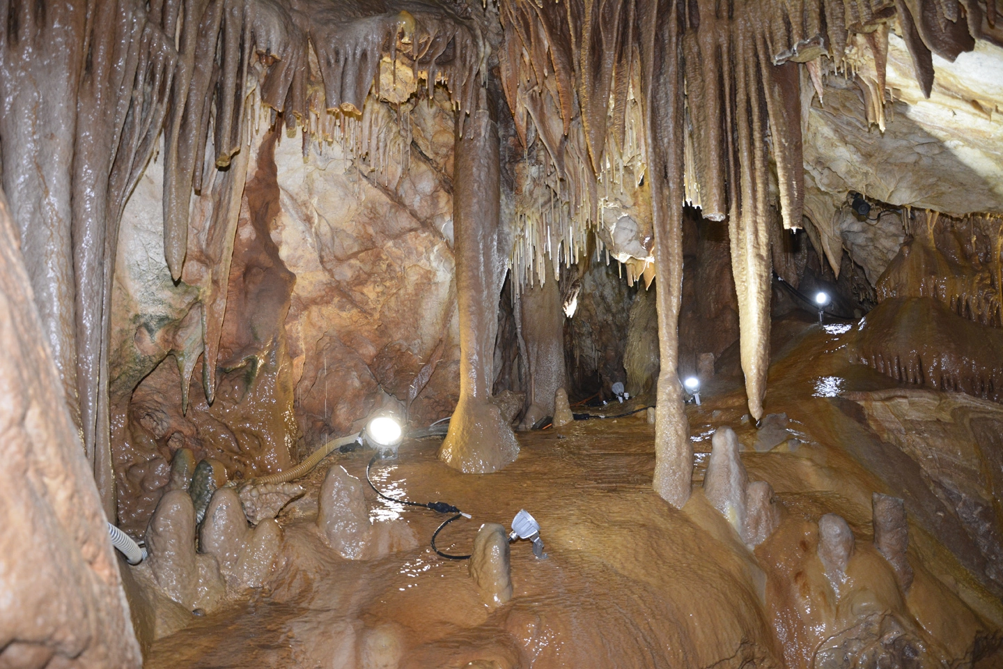
Zeytintaşı Cave is located on the southern slope of Zeytinlitaş Hill southeast of Gökçeler Quarter of Akbaş village, 15 km. north of Serik district of Antalya. Zeytinlitaş Hill lies between Koca Stream, an important tributary of Köprüçay, and Gökçeler Stream in the form of a broken ridge.
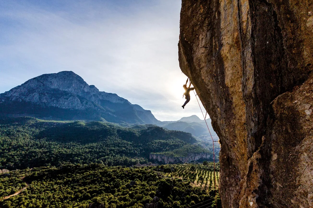
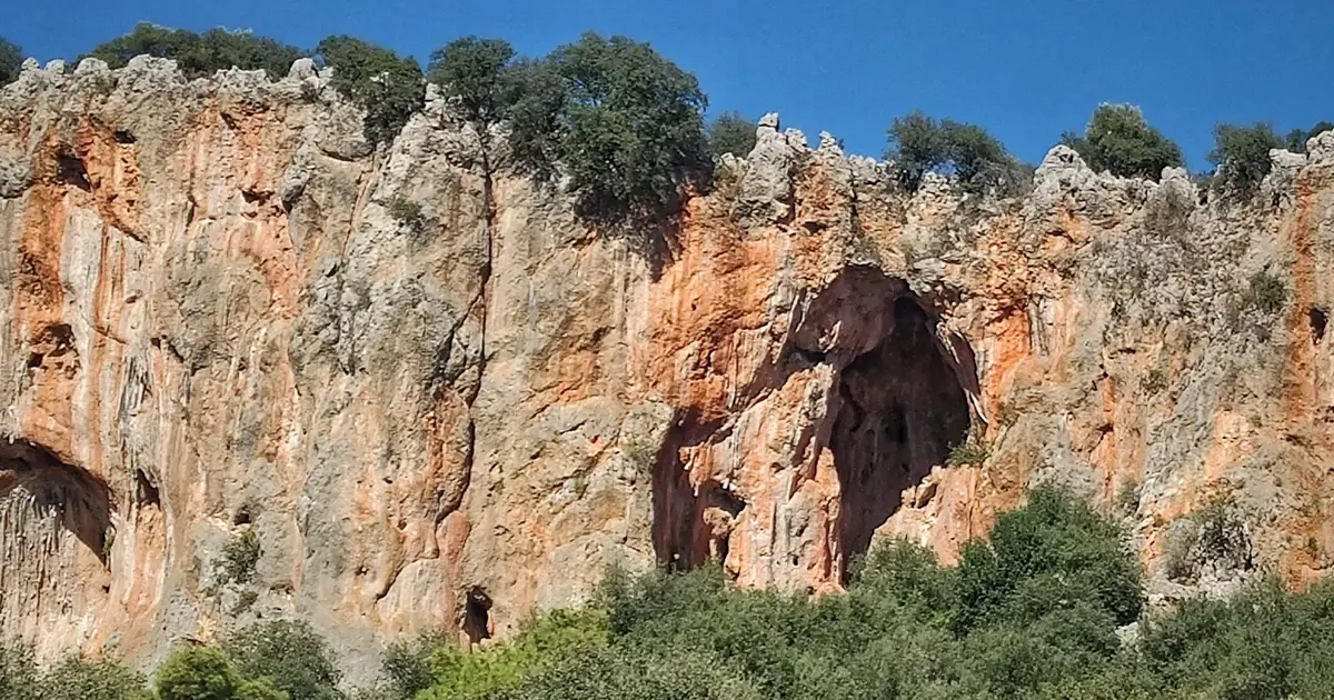
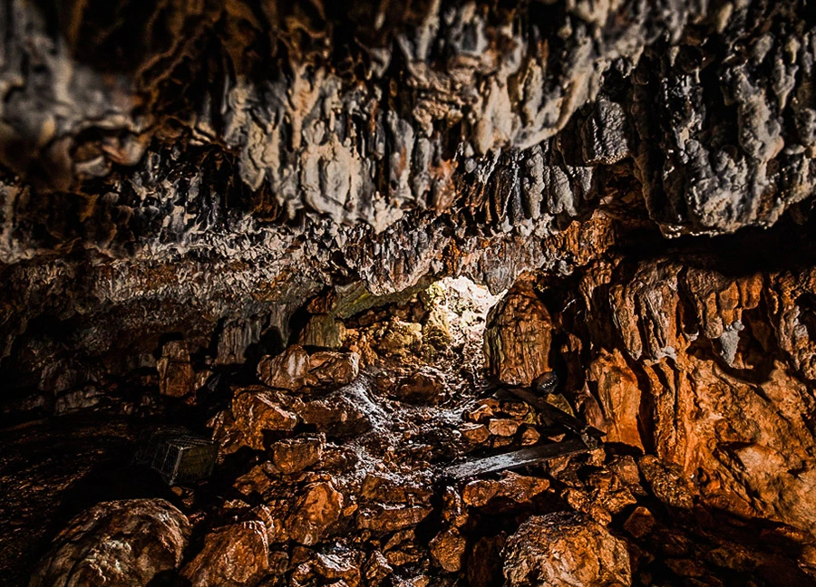
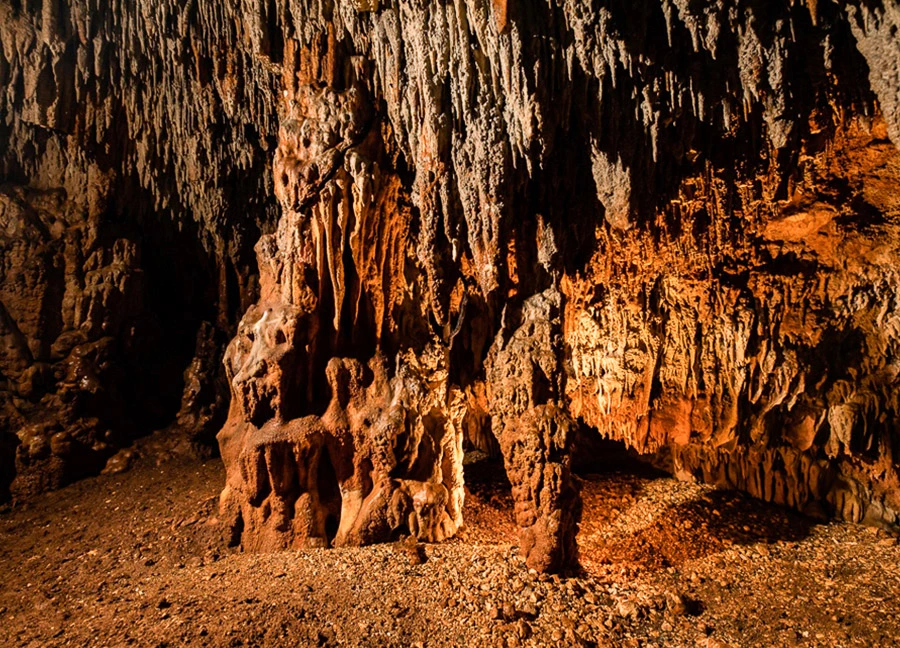
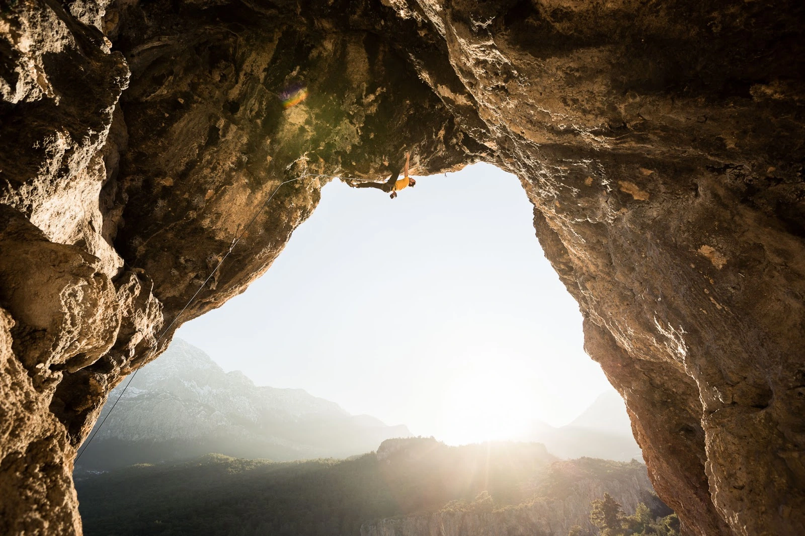
26 km from Antalya. It is in the village of Geyikbayırı, 15 km away. From Antalya, you can go to Geyikbayırı village via Çakirler village in the west direction. The cave can be accessed within a 5-minute walk from the center of the village.
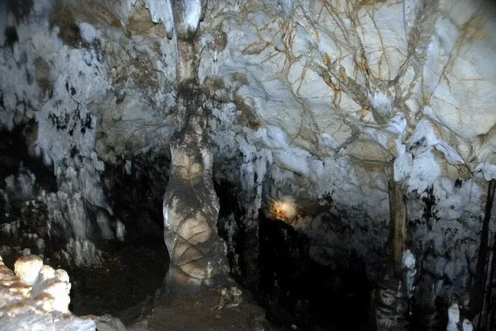
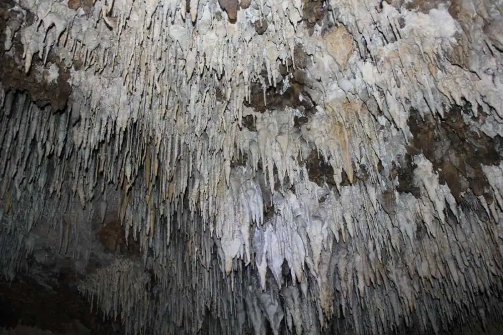
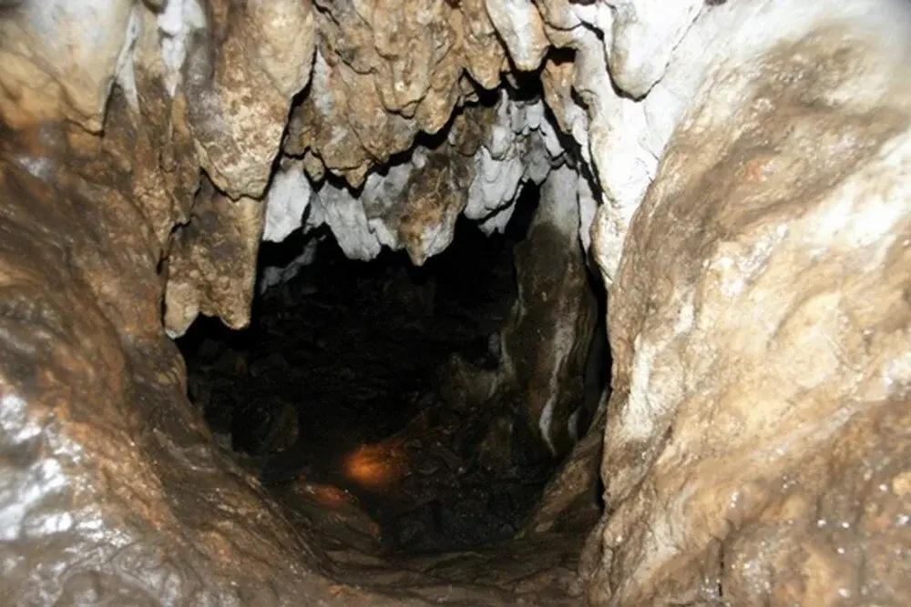
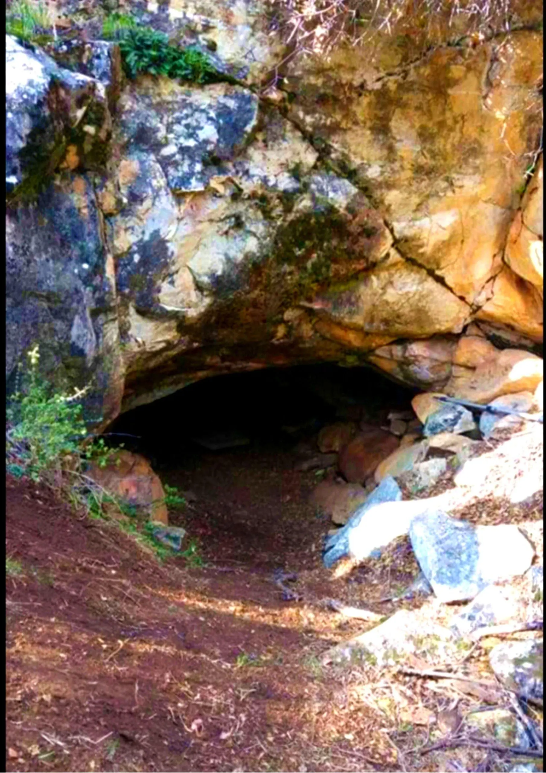
It is an under-rock shelter located just at the exit of the Çamdağ tunnel, at the 40th km of the Antalya-Kemer coastal road. It is located in Obaköy locality. 25 m from the sea coast. It is a cave in the form of a shelter at a high altitude.
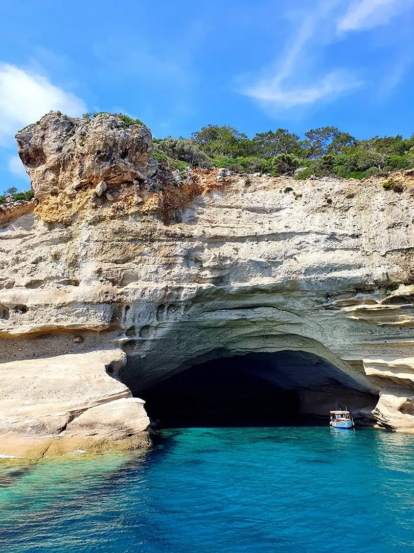
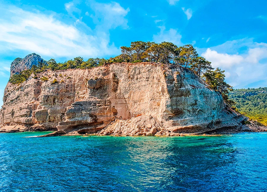
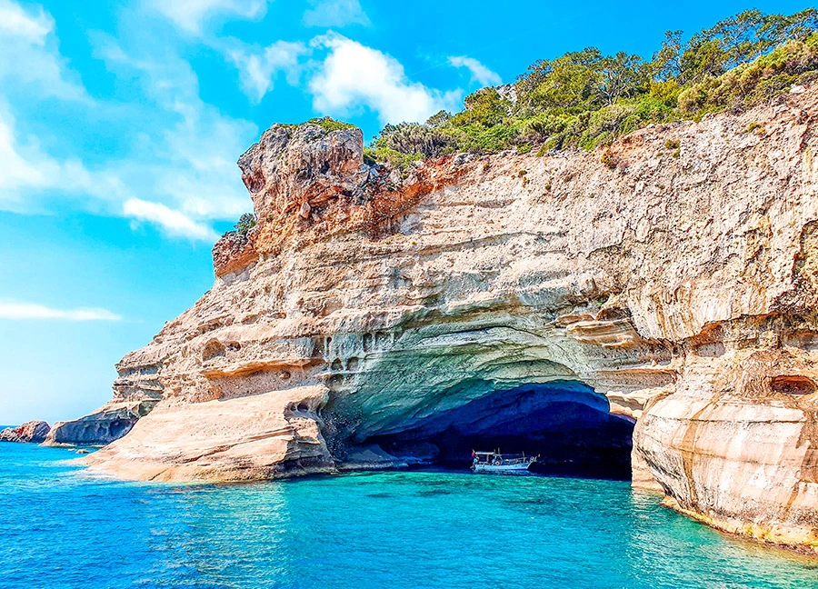
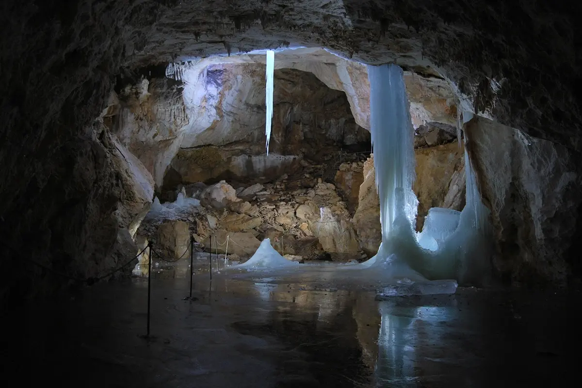
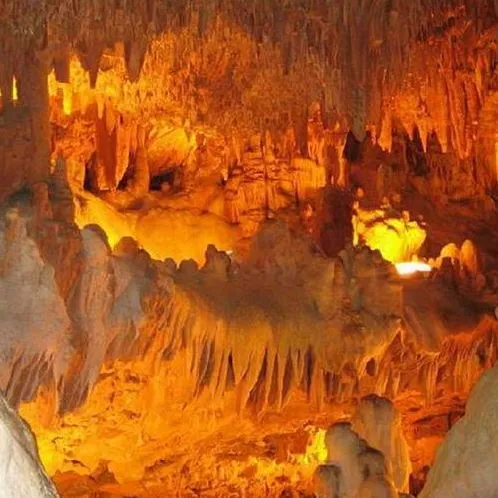
It is an under-rock shelter located just at the exit of the Çamdağ tunnel, at the 40th km of the Antalya-Kemer coastal road. It is located in Obaköy locality. 25 m from the sea coast. It is a cave in the form of a shelter at a high altitude.
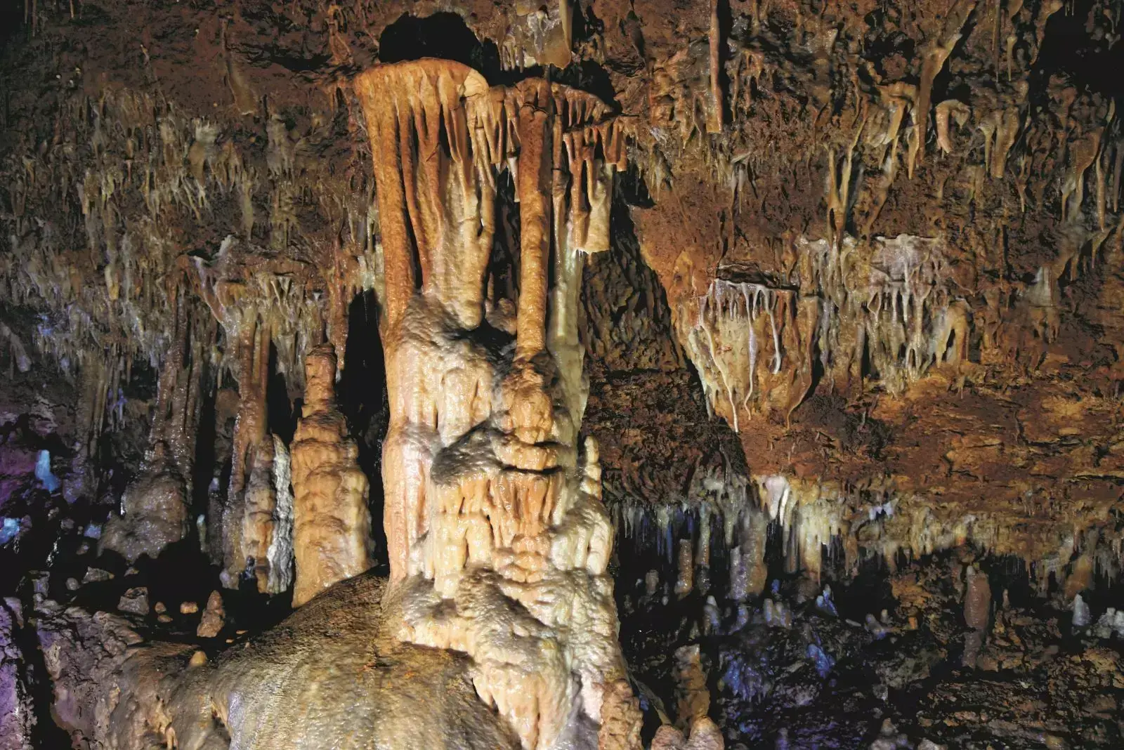
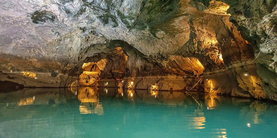
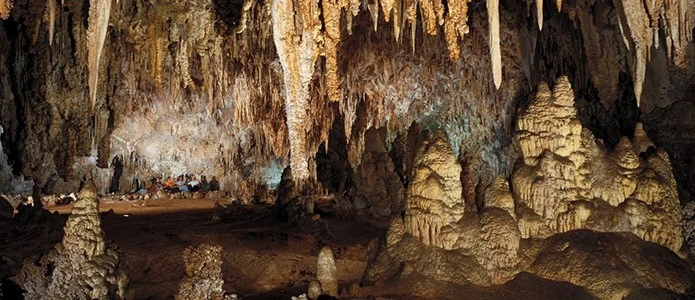
It is on the cliffside of the Atatürk Park in Antalya. There is no land access to the cave. 60 m. The cave in total length is of Horizontal cave type. Since it is related to the sea, there is also a sea cave. For example, it is dry. Part of the east hall is under water.
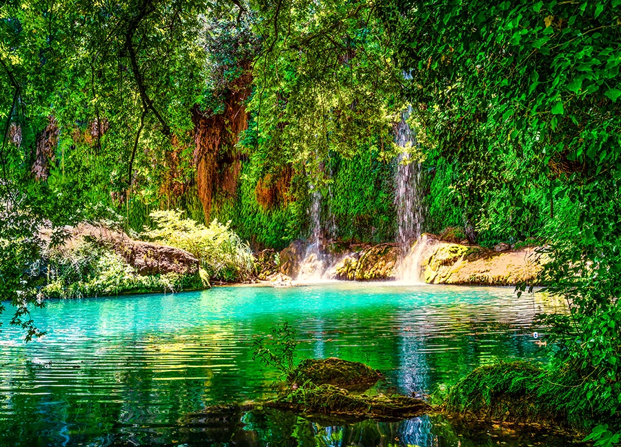
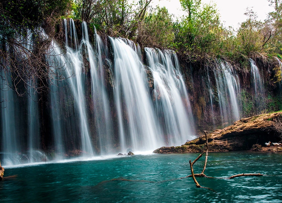
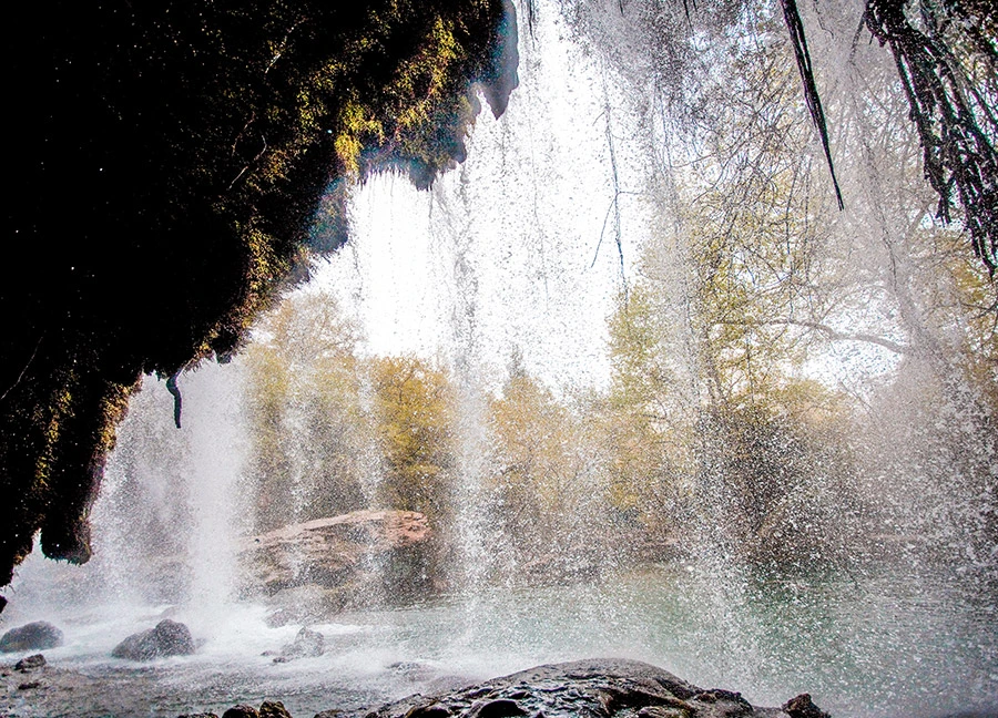
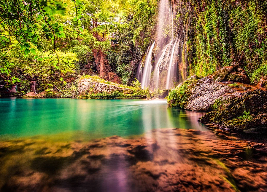
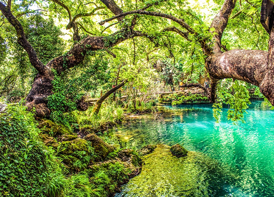
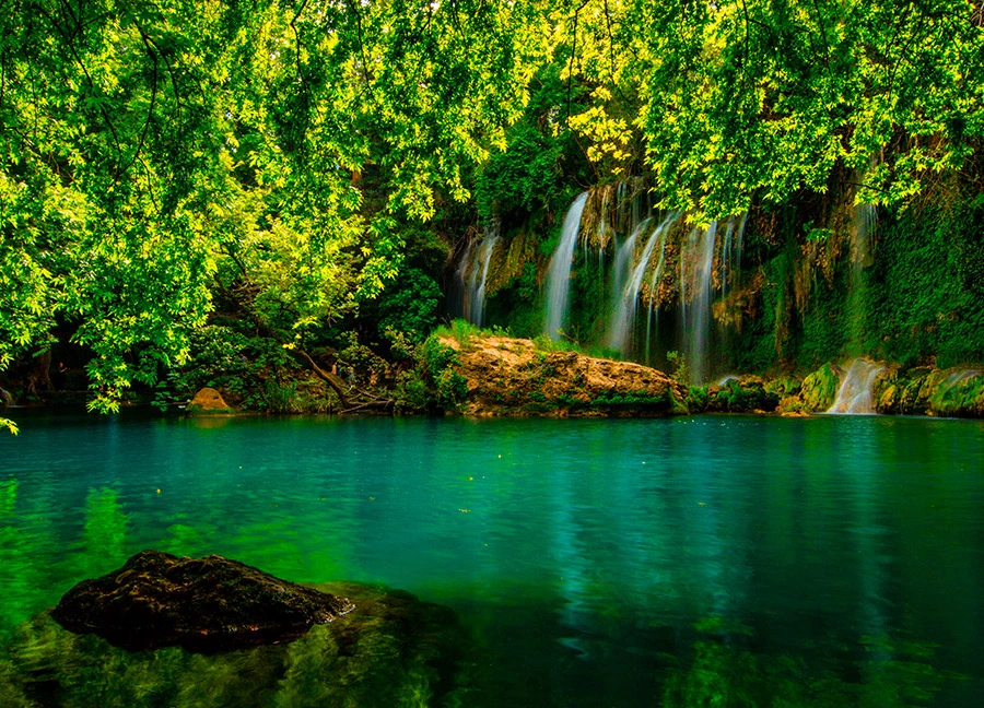
Kurşunlu Waterfall Nature Park, a refuge in nature thanks to its rich flora, is 20 km. away from Antalya. Open to visitors since 1986, the park attracts countless visitors for activities such as daily rest and picnics with its clean air, lush green nature and fascinating views. With 7 small ponds connected to each other by small waterfalls in a 2 km canyon, the natural park is home to more than 100 bird species of the region.
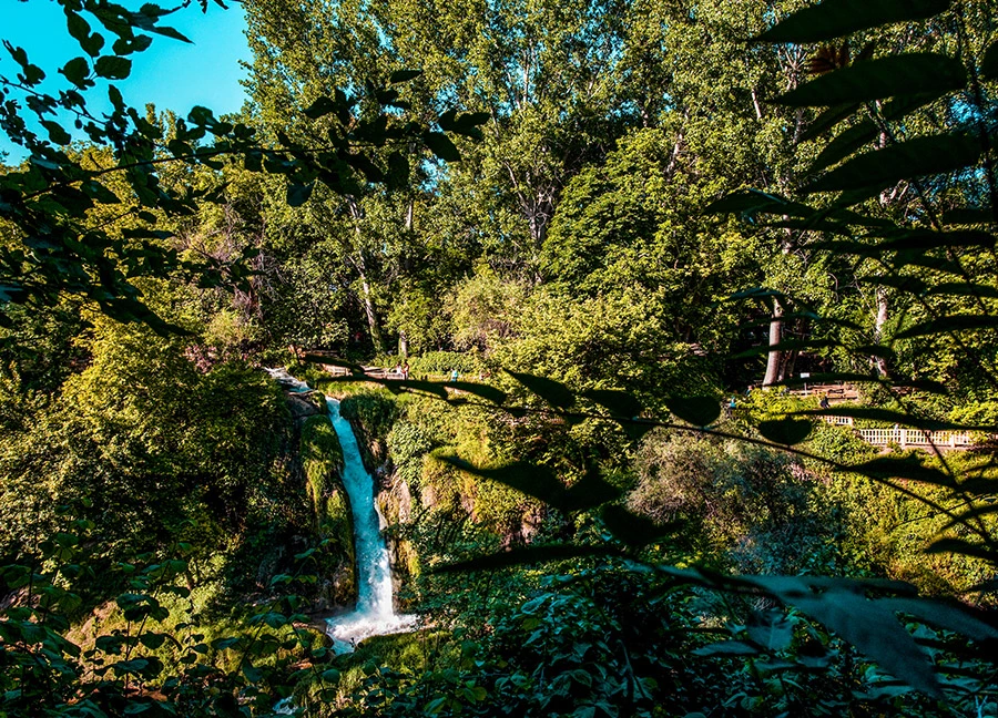
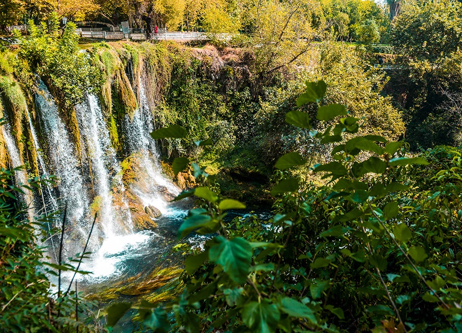
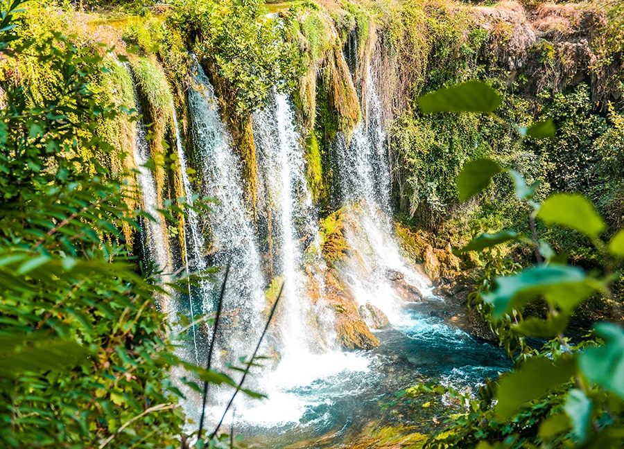
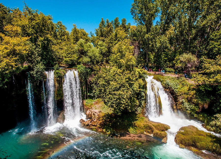
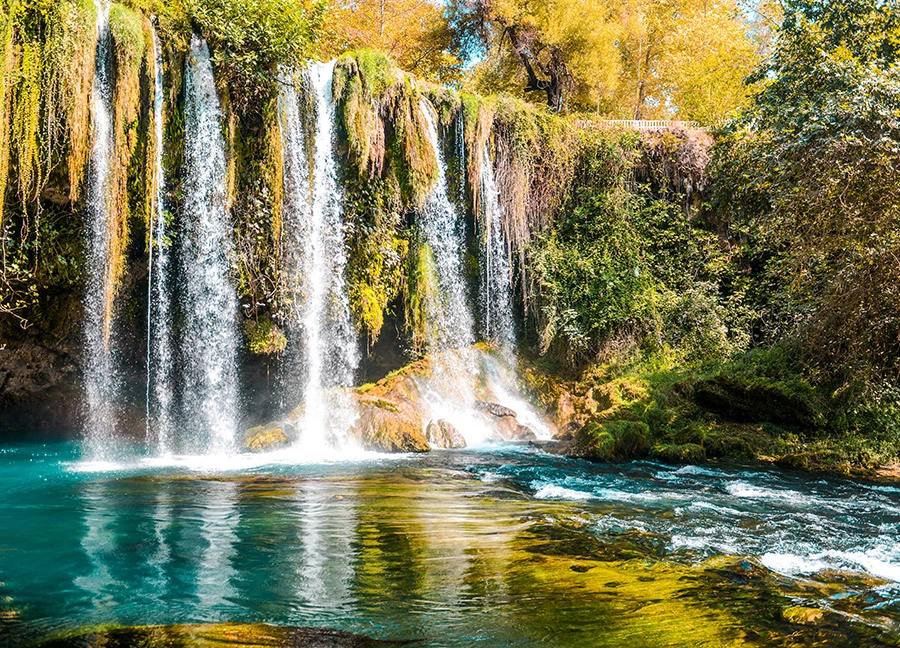
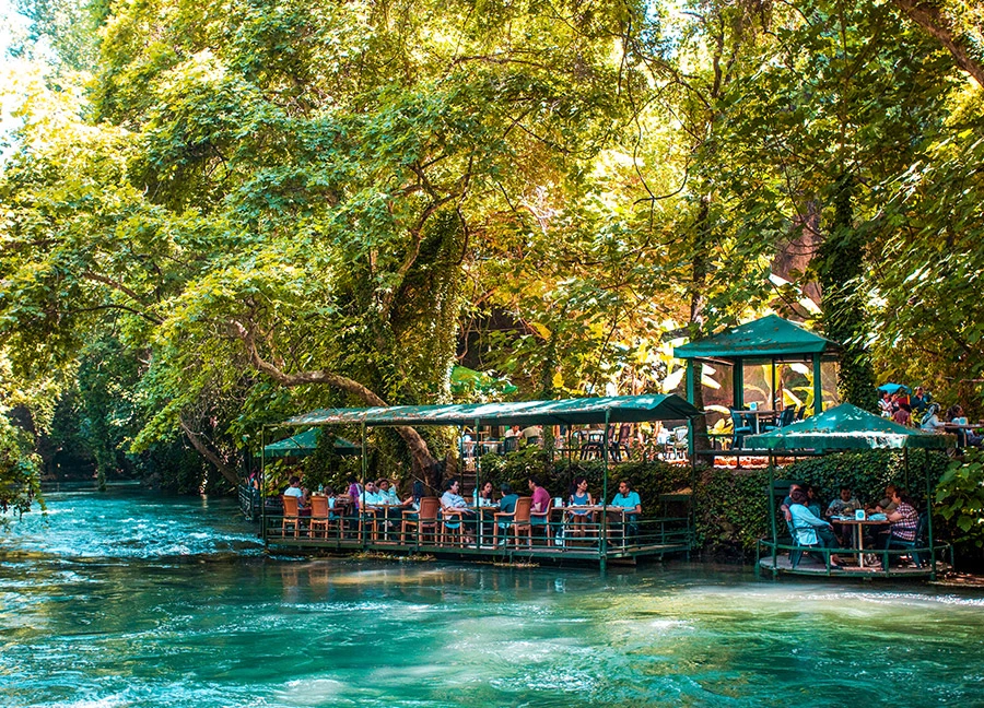
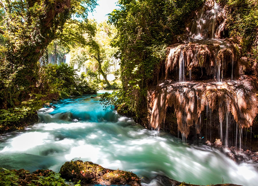
Upper Duden Waterfall is located 10 km. from the city center, in the Şelale Neighborhood within the borders of Kepez district. The waterfall, which ranks among the must-see natural beauties of Antalya, resembles a lush green oasis in the city with its surrounding recreation and picnic areas.
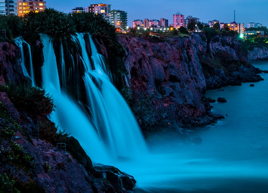
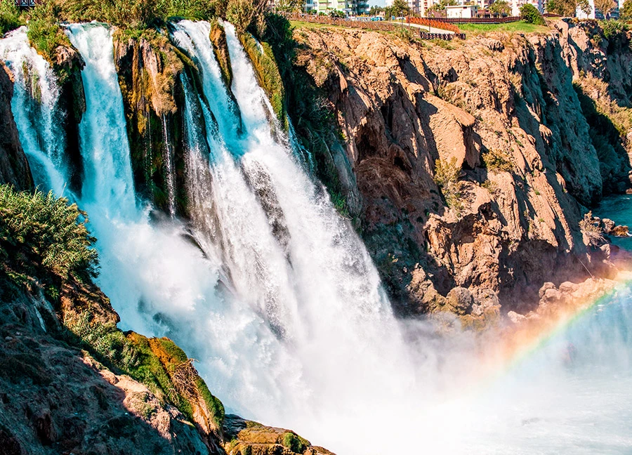
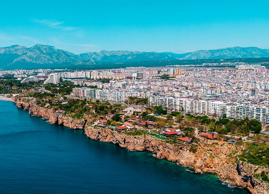
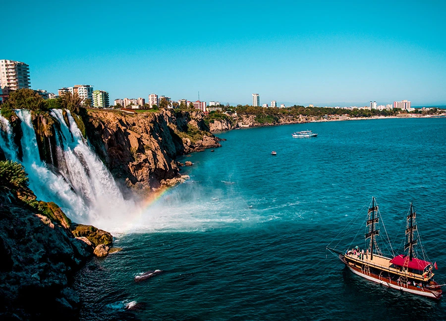
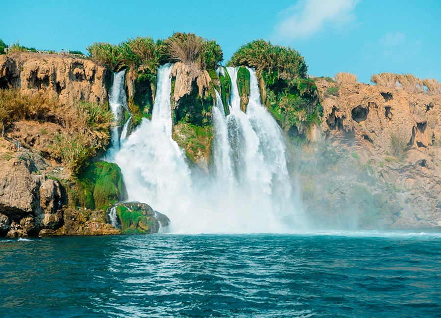
Lower Duden Waterfall, which is one of the most visited spots in Antalya thanks to its unique view and proximity to the city center, is located in the Düden Park, which has a very spacious atmosphere with its landscaping in Lara Region, 8 km. away from Antalya city center. The waters of Lower Duden, the only waterfall in Turkey that flows into the sea, meet the Mediterranean Sea from the 40-meter cliffs.
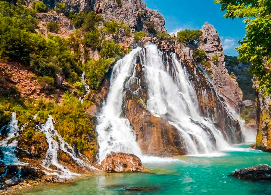
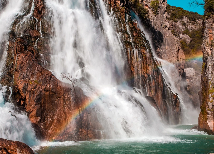
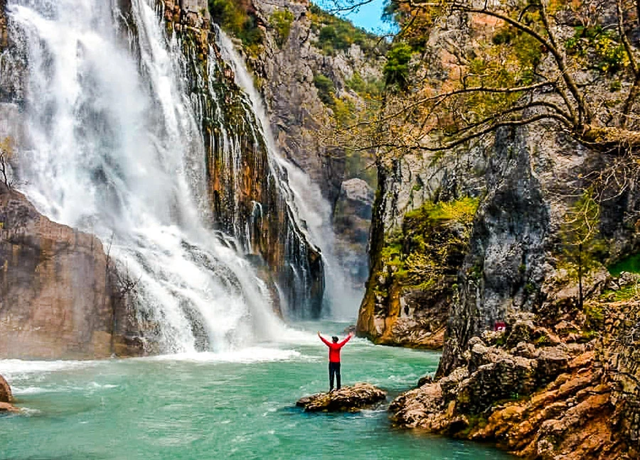
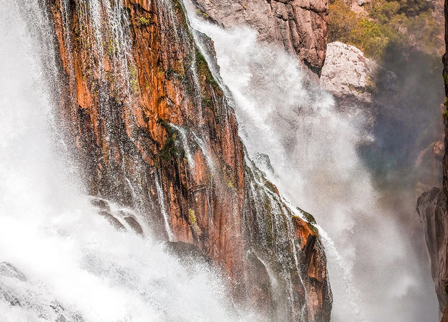
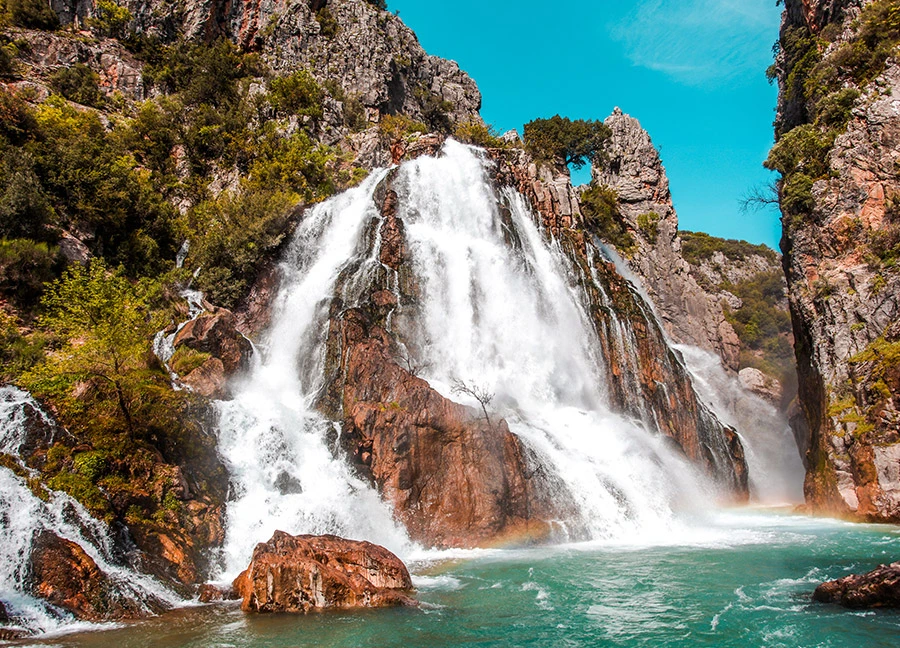
Uçansu Waterfall, located in the valley below Kayabükü Village in Gündoğmuş district of Antalya, is also known as Çündere Waterfall due to the Çündere Stream in the region. The waterfall is approximately 165 km from the center of Antalya and 24 km from Gündoğmuş.
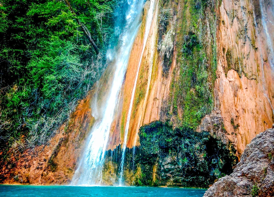
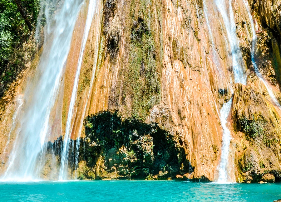
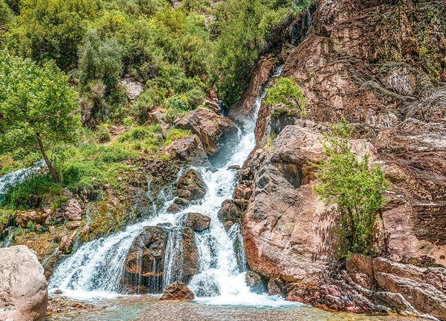
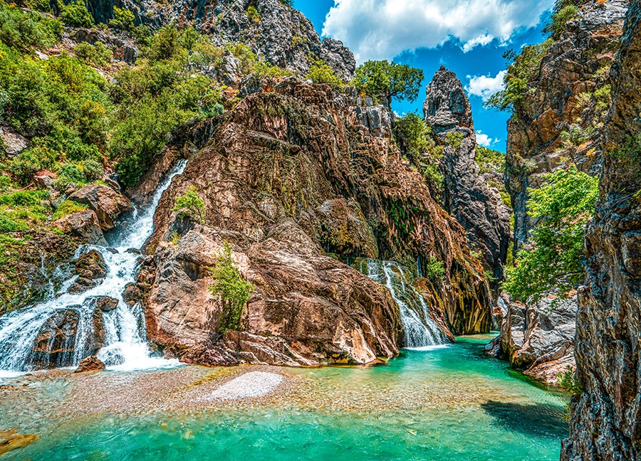
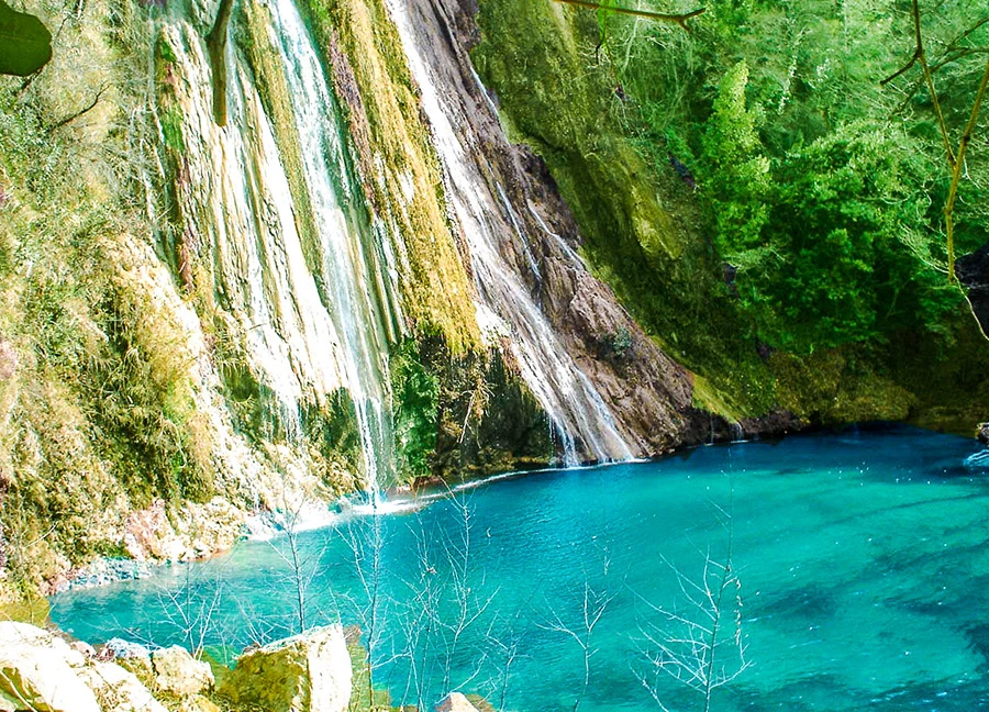
Uçansu Waterfall, which is divided into Upper Uçansu and Lower Uçansu, is located in Akçapınar Neighborhood in Gebiz, Serik, 65 km. from Antalya city center. The waterfall is located 400 meters above sea level on the Uçansu Creek, which is formed by the merger of Havutlu and Bal Creeks. The waterfalls are also on the St. Paul's Way, the second longest marked hiking route in Turkey. Those who walk this route have the opportunity to see the waterfalls.
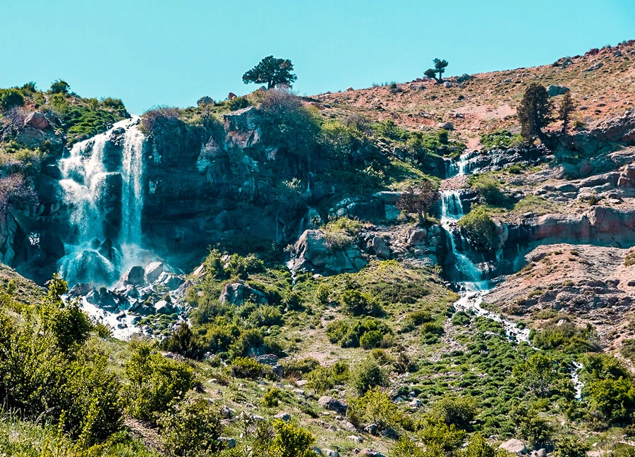
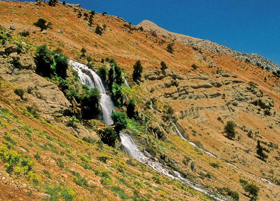
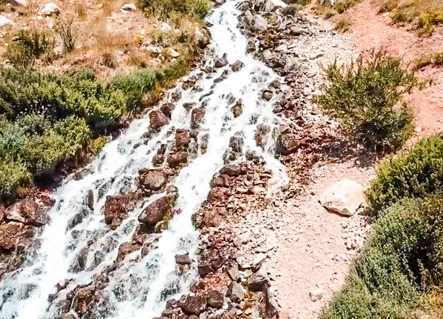
The Uçarsu Waterfall, which attracts attention with its wild beauty, gushes from Akdağ, the highest point of the Western Taurus Mountains above Gömbe Plateau in Kaş district.
The water gushing from the 1800-meter height of Akdağ, which is 3024 meters high, flies down the rocks, which are about 50 meters high and have a cave underneath, like a white cloud. The waterfall is called Uçarsu because the water flies and creates impressive views.
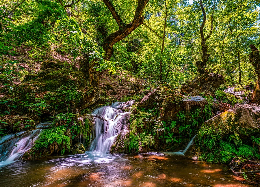
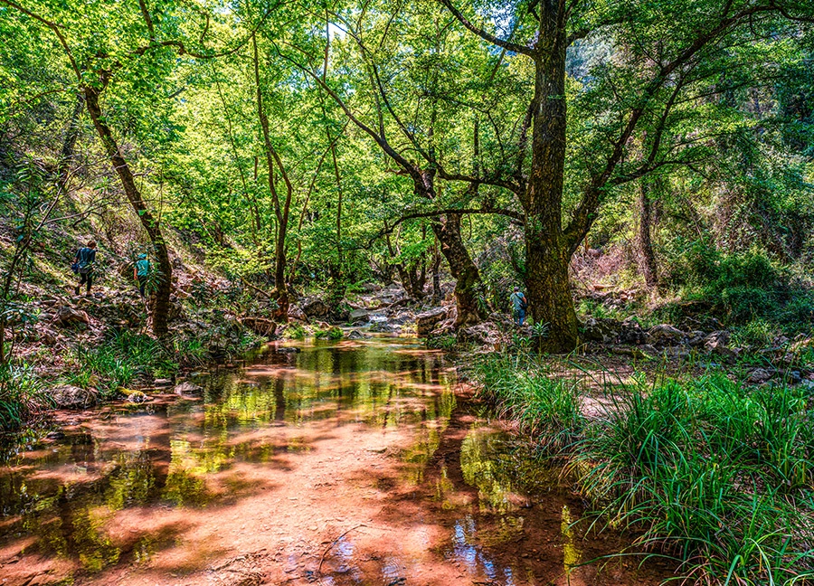
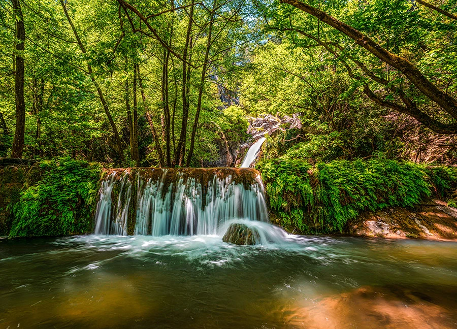
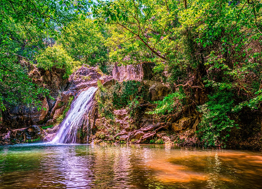
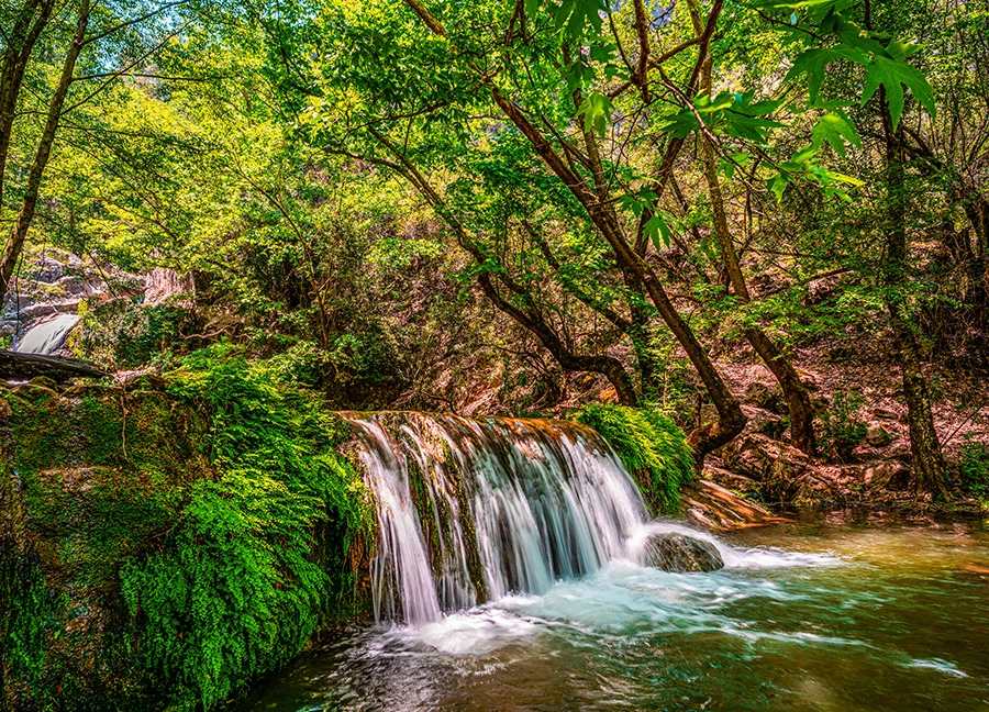
Kocaçay Waterfall, one of the little-known natural wonders of Antalya, is located within the borders of Ekşili Neighborhood of Döşemealtı district. The waterfall is also known as 'Ekşili Waterfall' by the local people and 'Gavurun Spring' in connection with the mill in the vicinity.
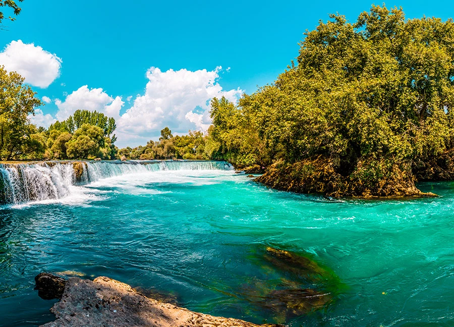
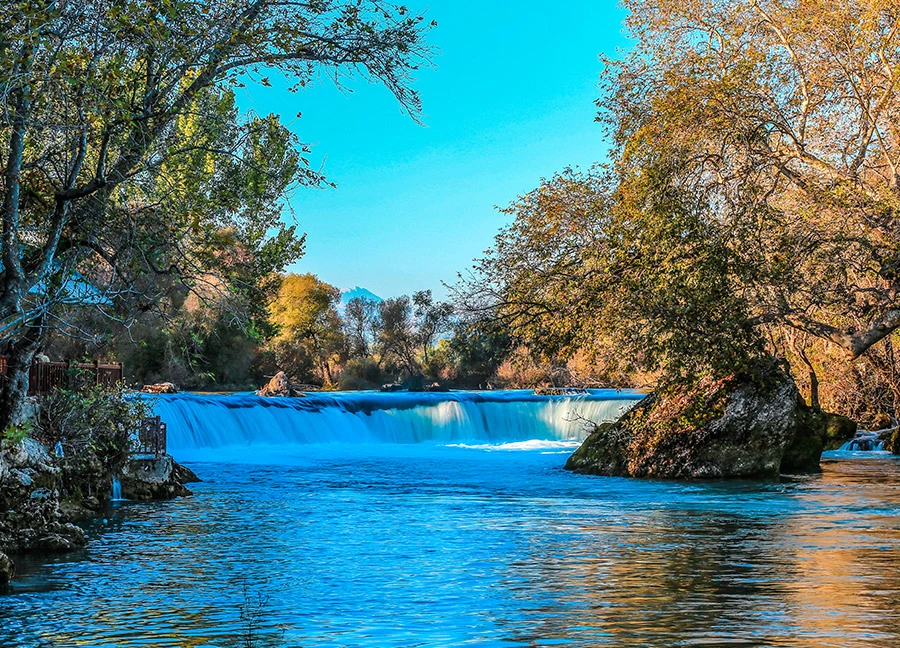
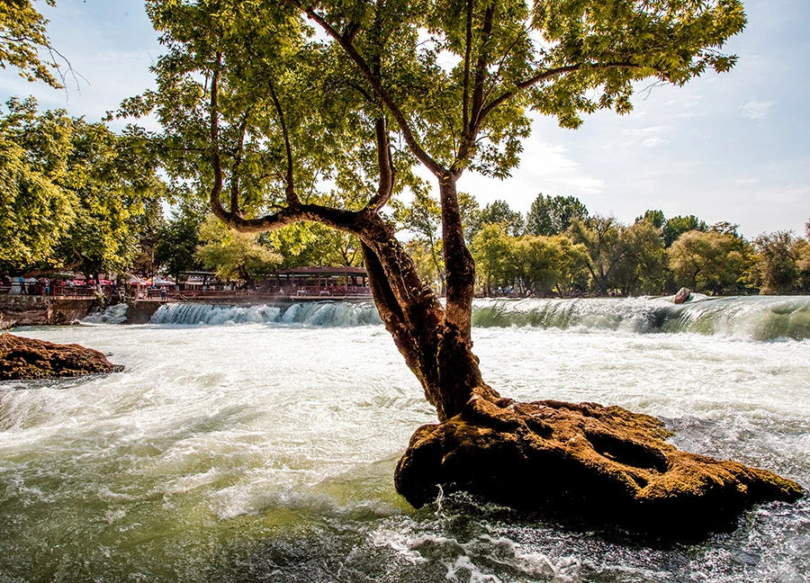
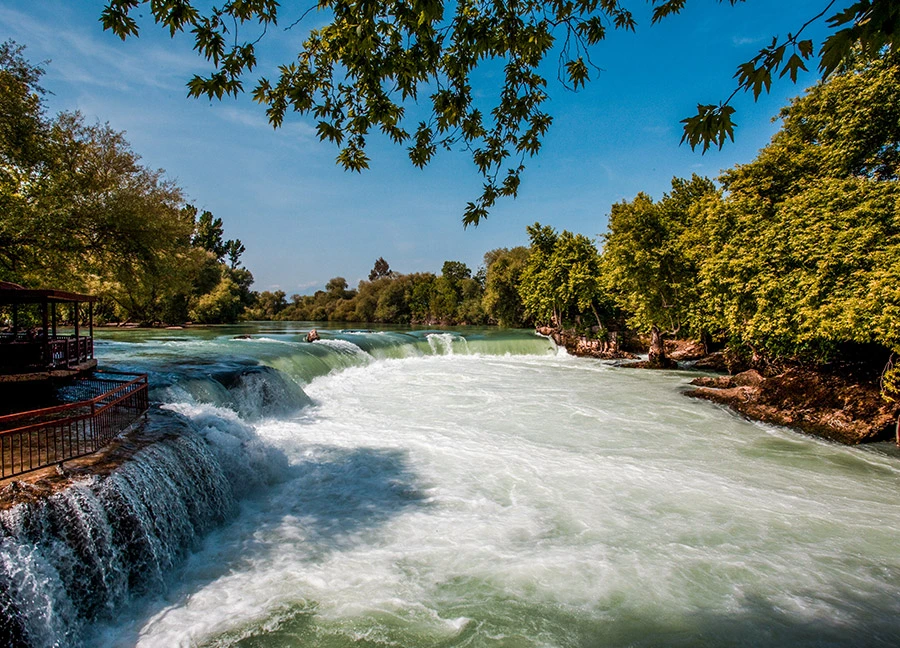
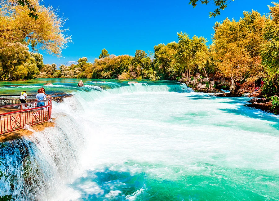
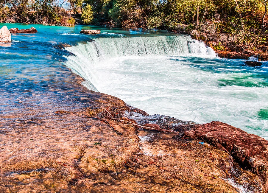
Manavgat Waterfall, one of the most beautiful waterfalls in Turkey, takes its name from the district where it is located. The waterfall is located 4 km from the district center and 72 km from the center of Antalya.
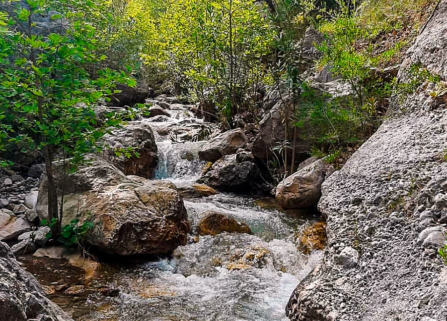
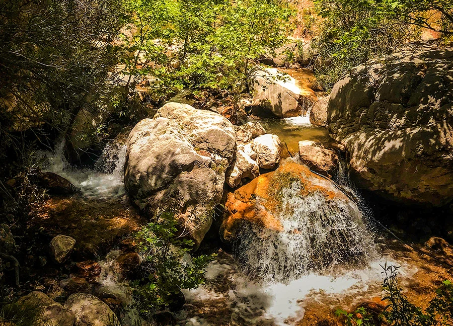
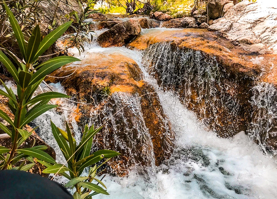
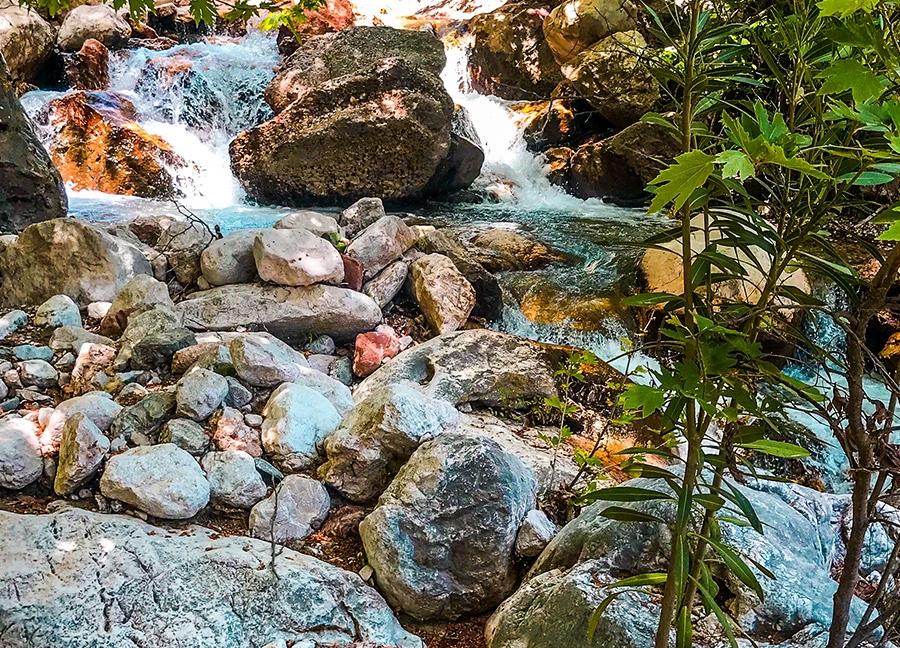
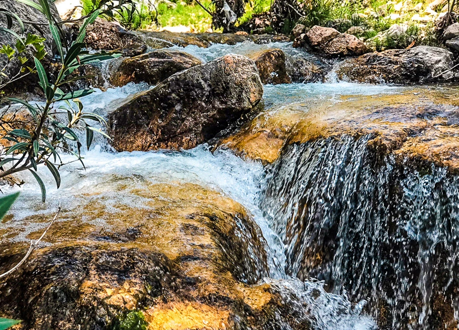
Çitdibi Team Waterfalls, one of the untouched beauties of Antalya, is located in Çitdibi Village within the borders of Yarbaşçandır Neighborhood of Konyaaltı District.

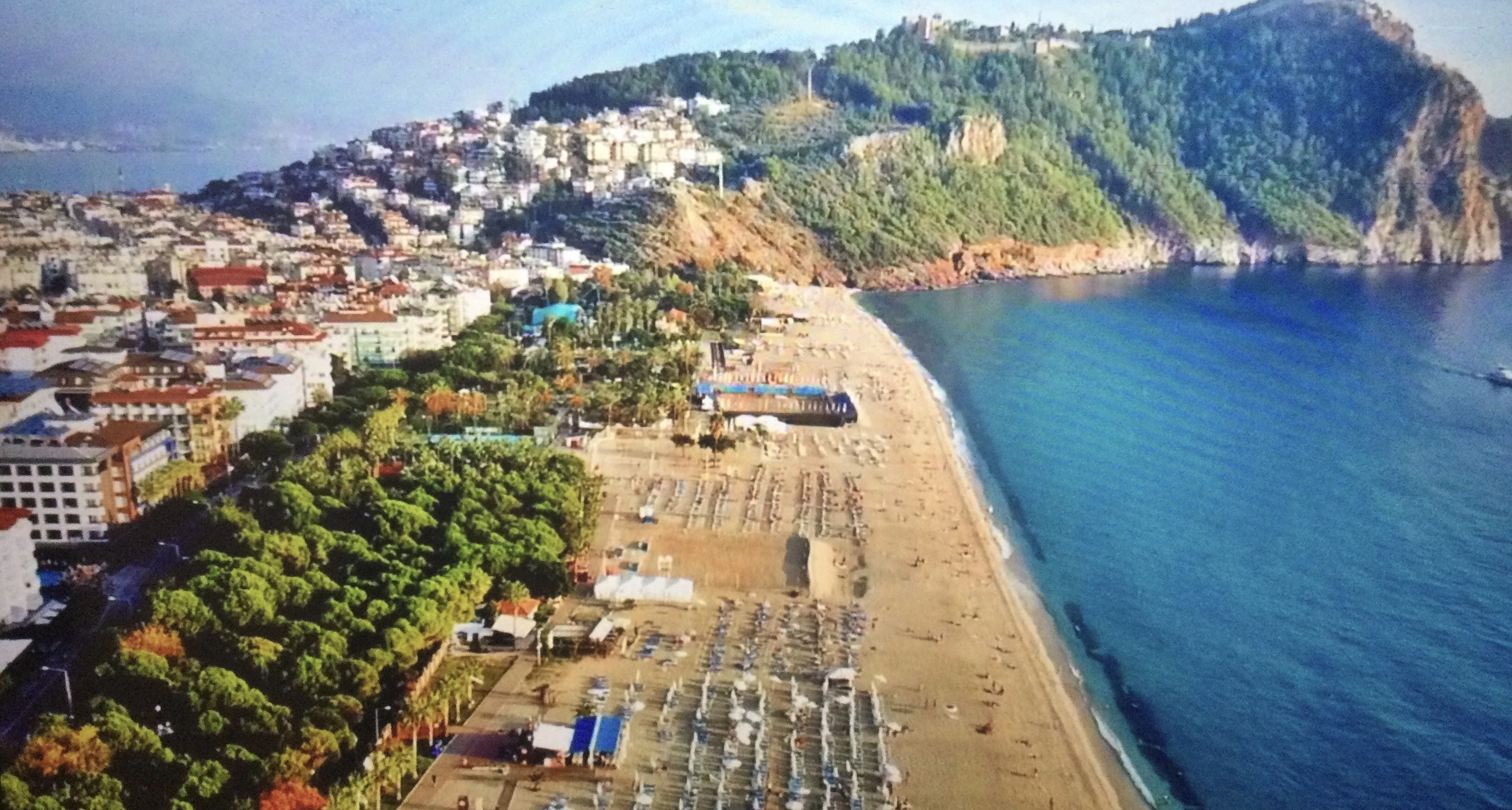
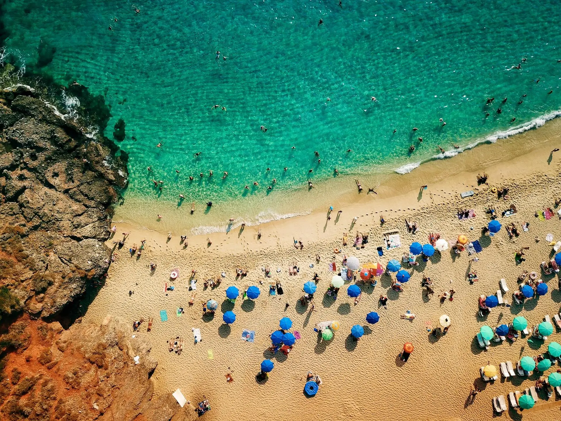
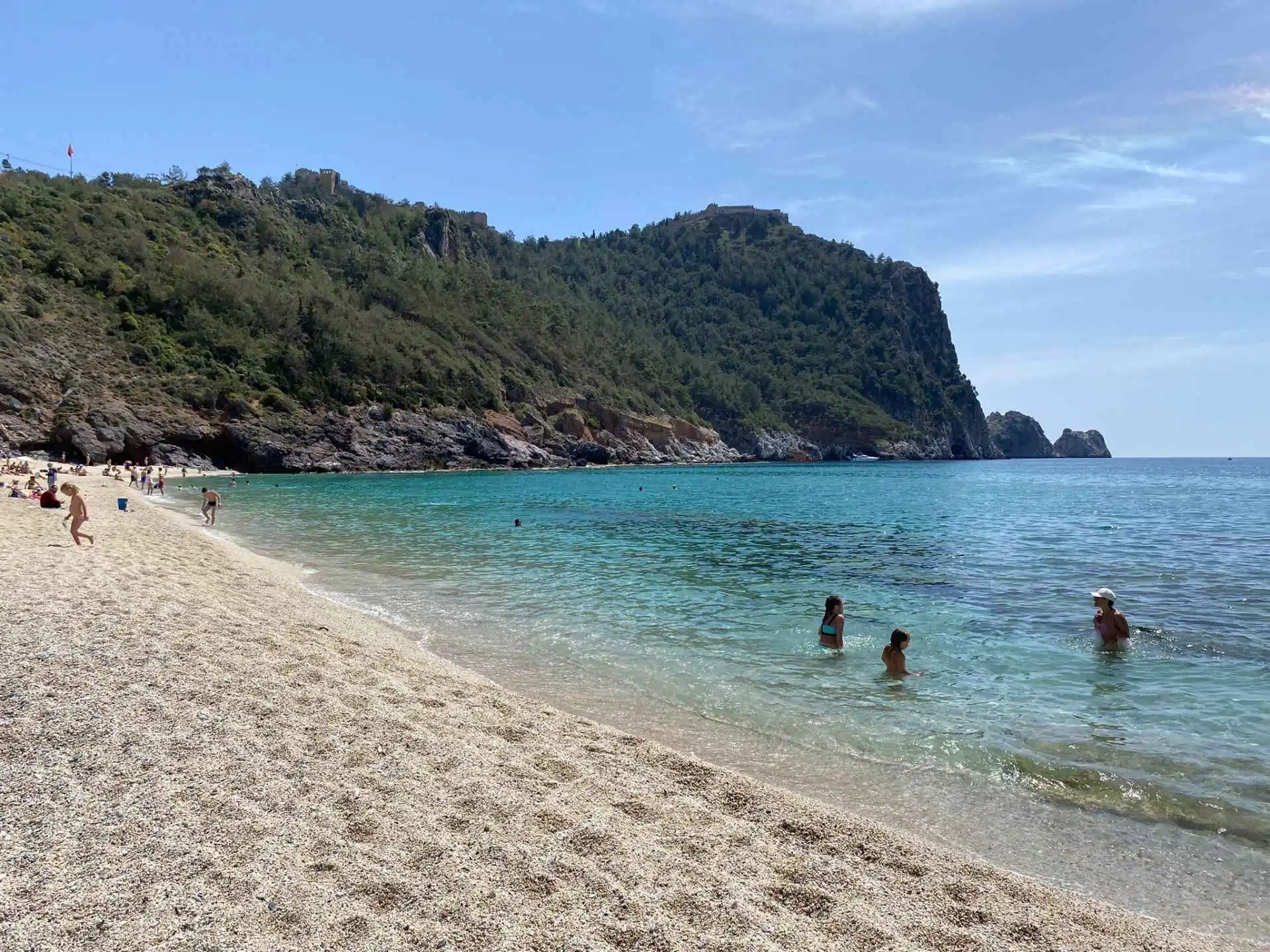
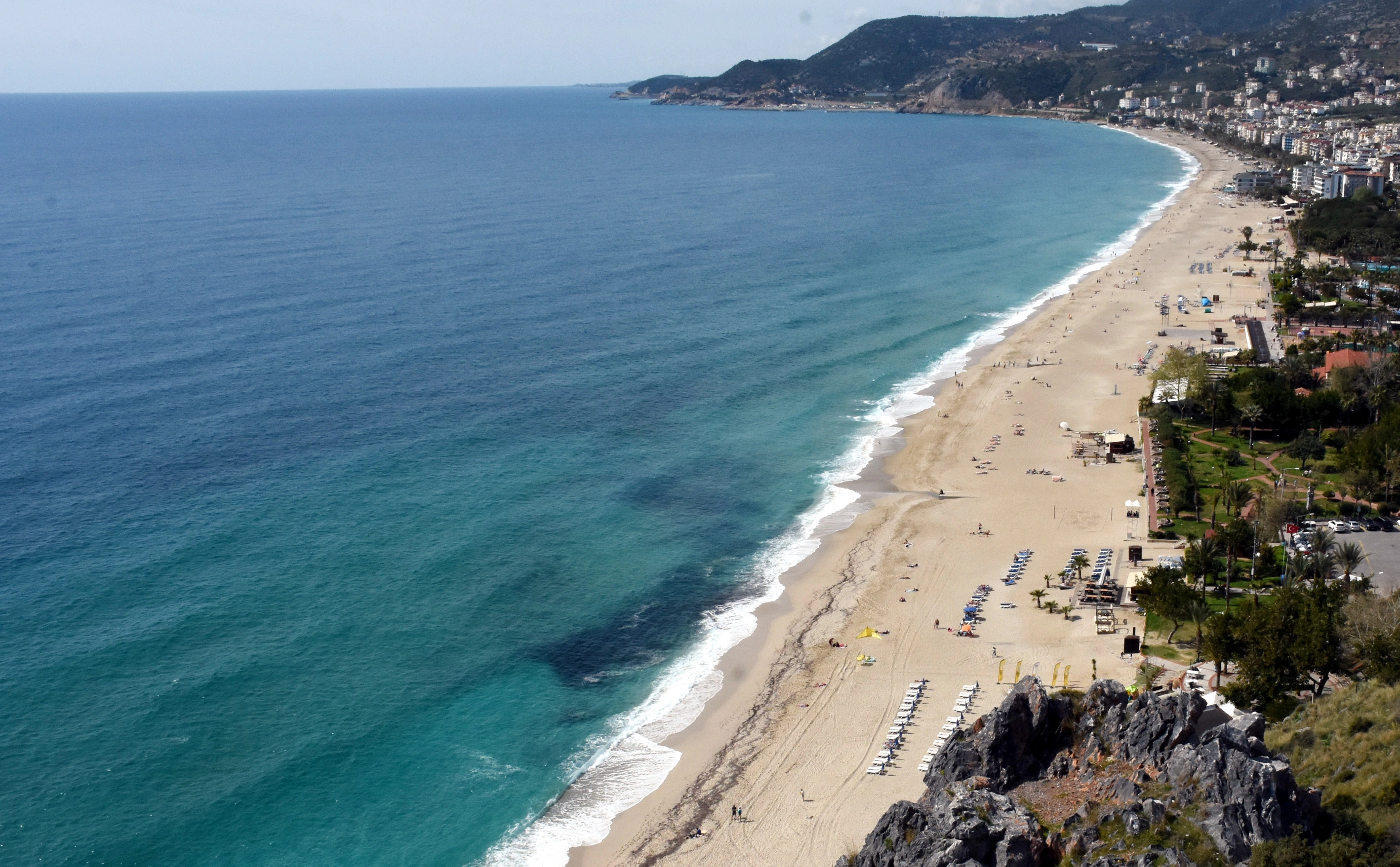
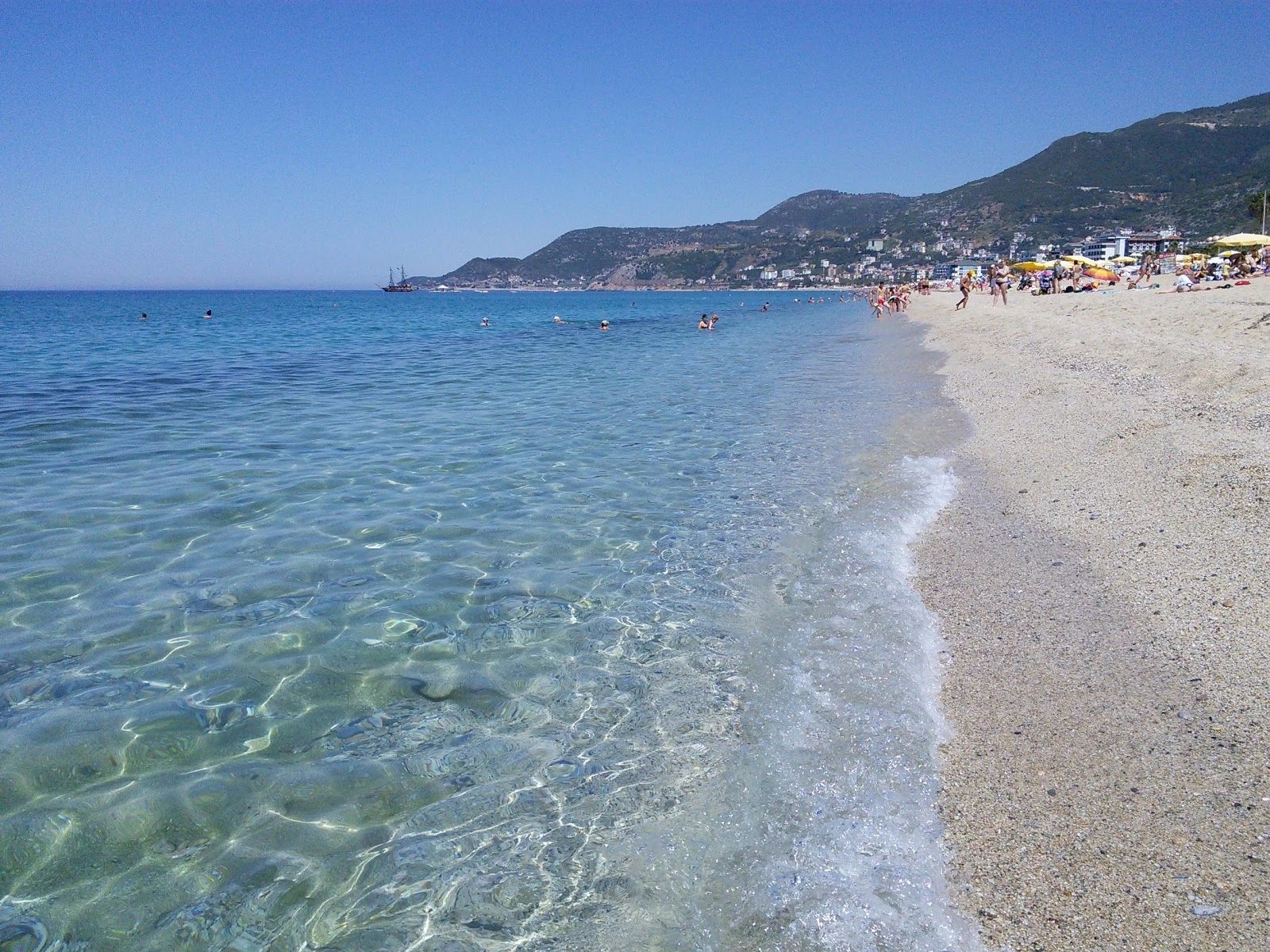
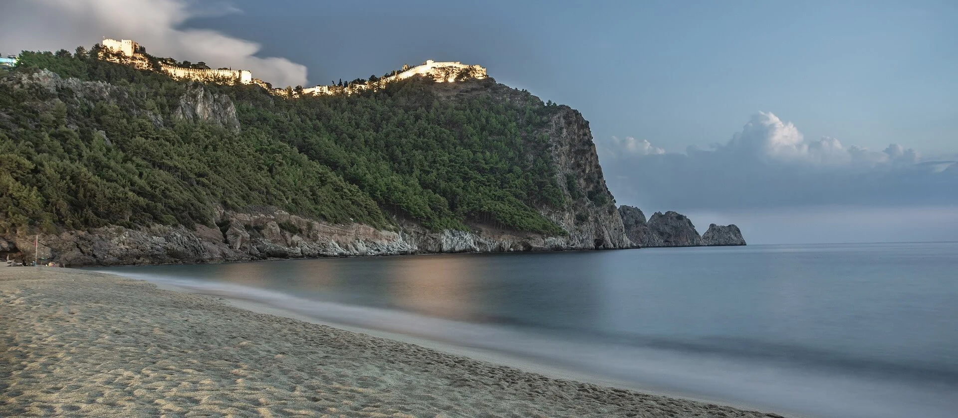
The beach with a length of 2 km. is located in the west of Alanya. It is a wide beach with fine sand. A feature of this beach, where even Cleopatra is said to have bathed, is that the sea is shallow.
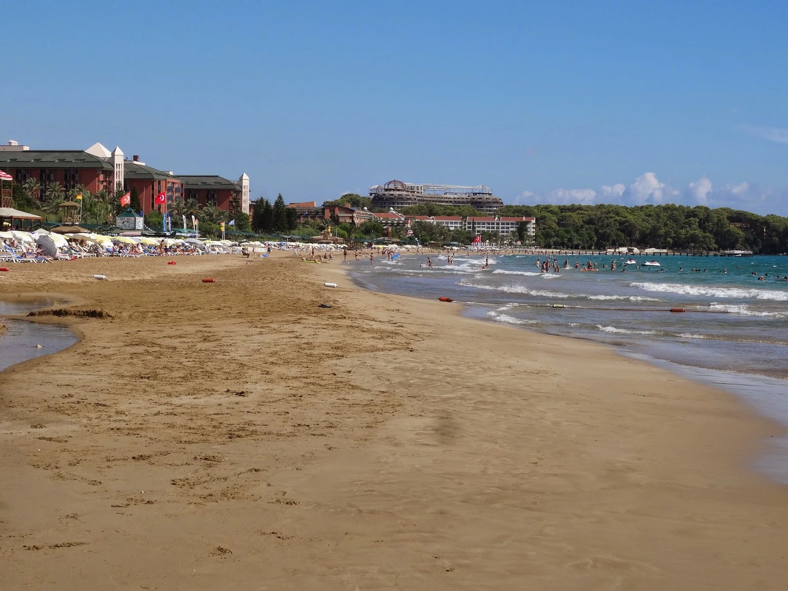
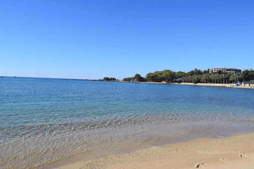

Approximately 20 km from Alanya. It is a beautiful beach with pine trees in the west and natural, fine sand. There is space for tent camping.
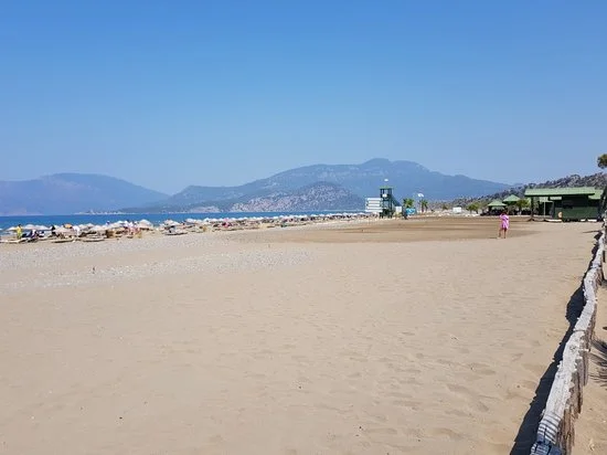
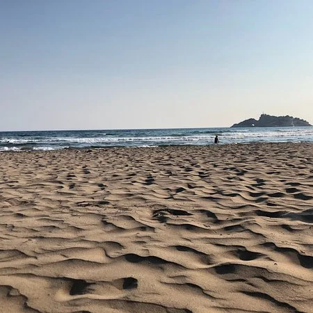
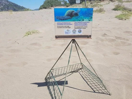
It is in the east of Alanya, on the Antalya-Mersin highway. It consists of Keykubat Beach and its 14 km long coastal extension. There are beach facilities along the coast.
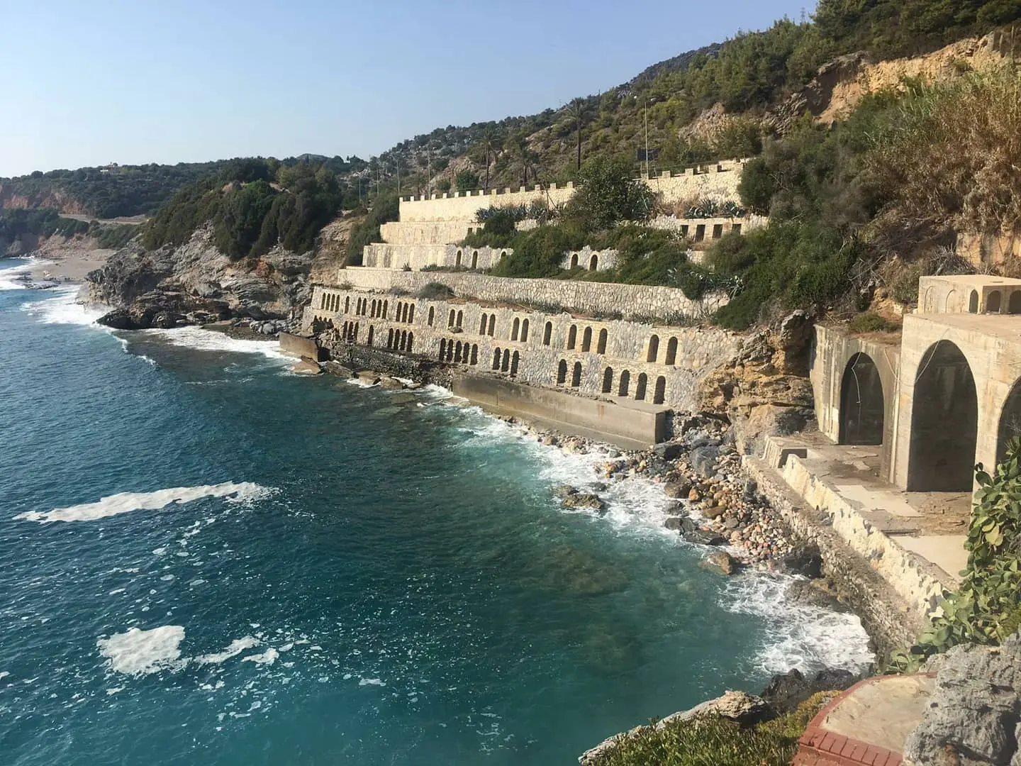
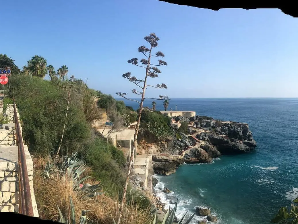
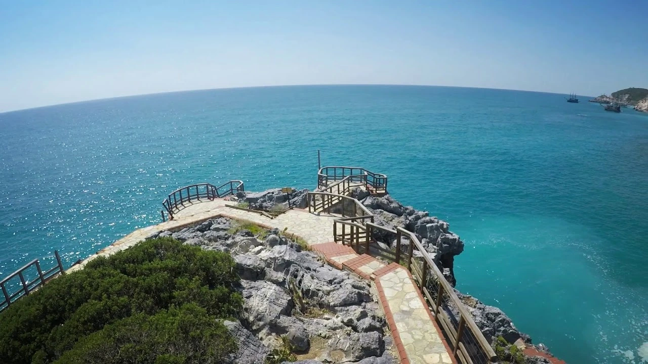
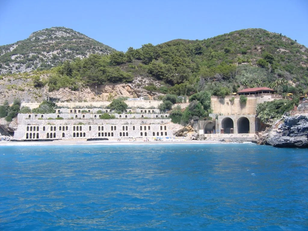
It is 6 km westward from Alanya center on the Antalya-Mersin highway. "Highway Ulaş Recreation Park" on Ulaş Beach was designed as a resting place for local and foreign tourists who follow the coastal road and was built for this purpose.
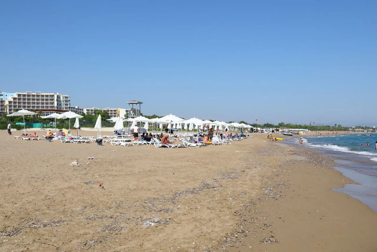
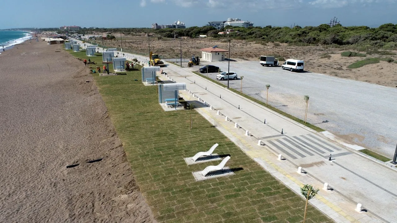
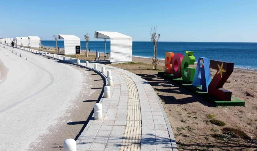
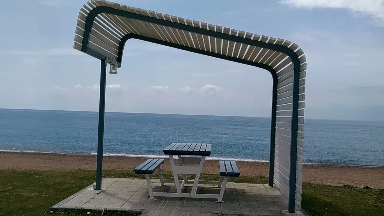
It is one of the most beautiful beaches in Antalya. On the way to Manavgat, it is about 6 km from the road going south. It is a cute, natural beach and coast that can be reached by going there.
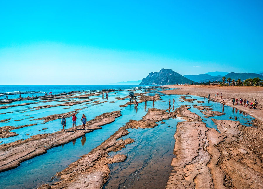
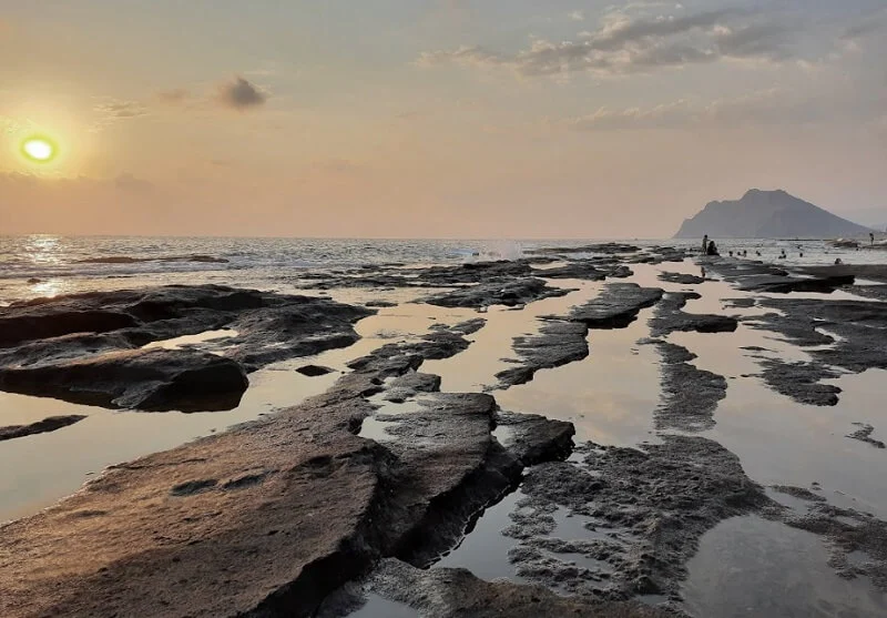
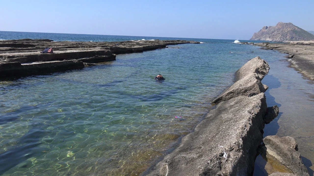
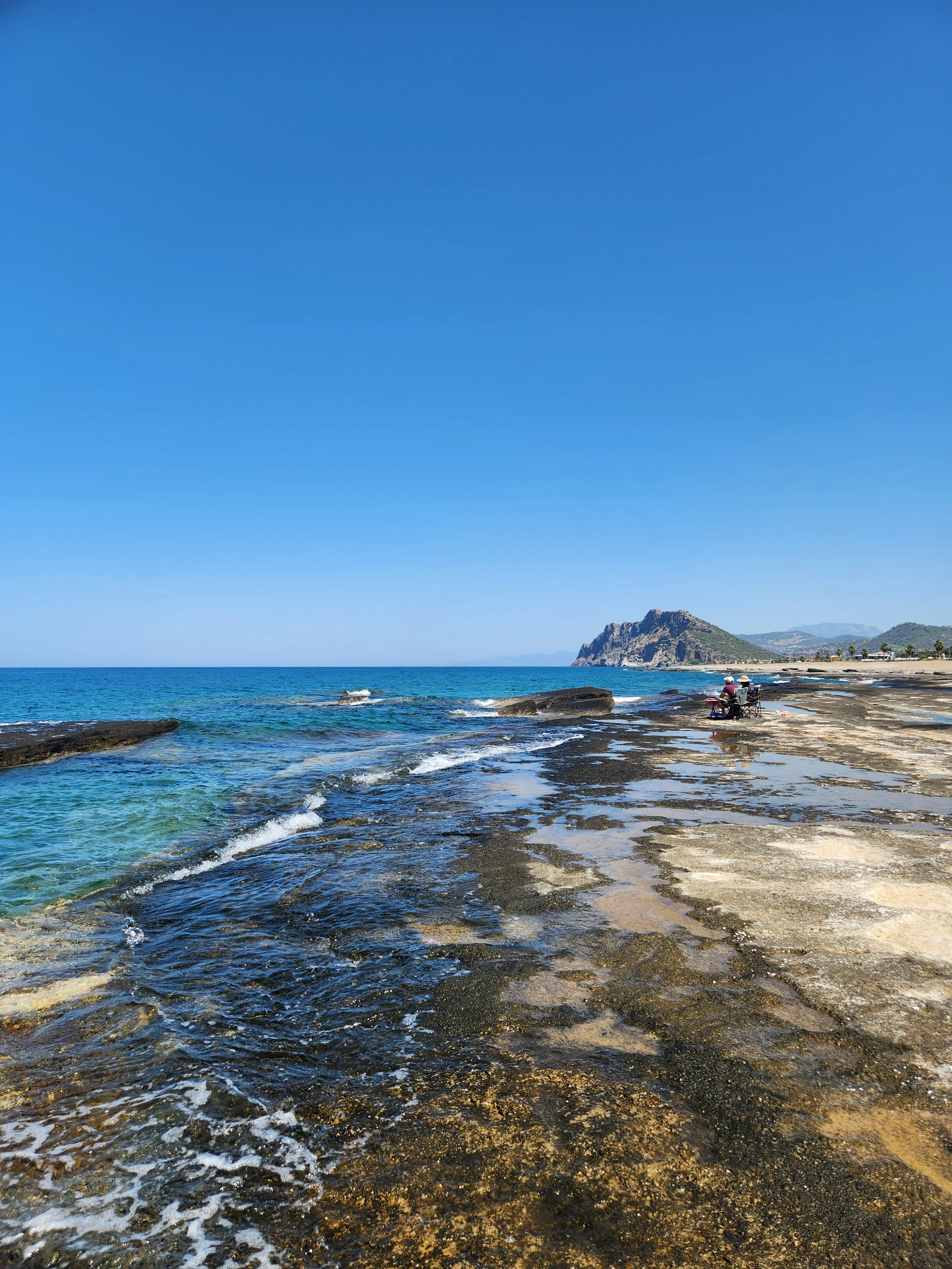
The sea on this beach located in the Koru District of Gazipaşa; It has the distinction of being the only sea that filters itself. It has three natural pools, two of which are ideal especially for new swimmers. 3 km from Gazipaşa. There is Iskele Beach and Kahyalar Beach in the town of Kahyalar.
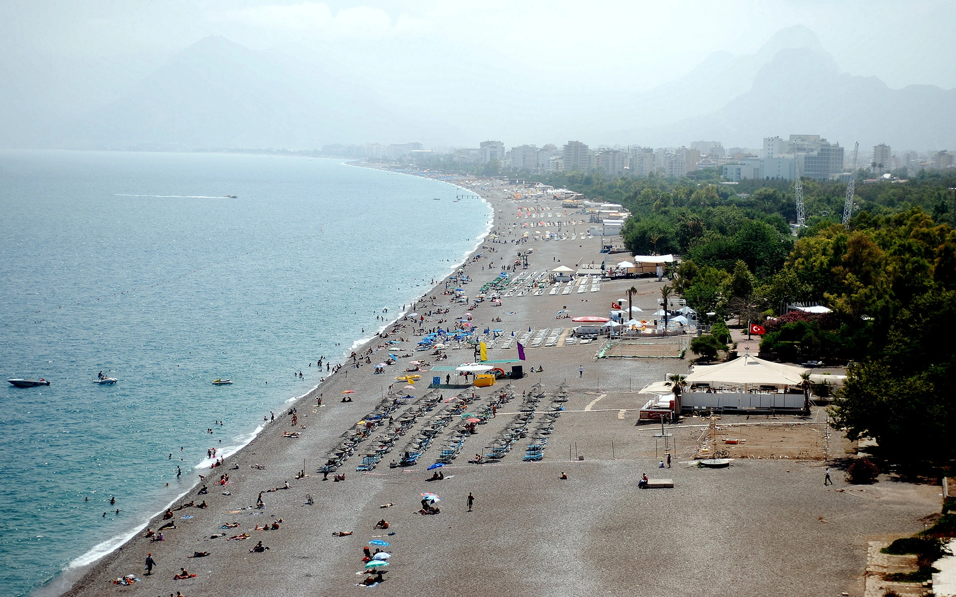
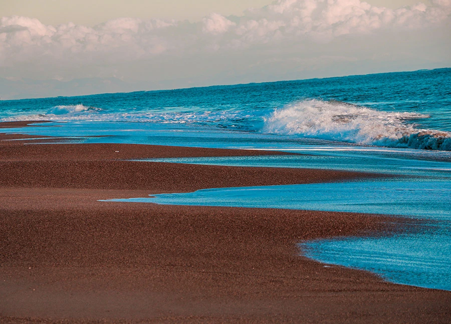
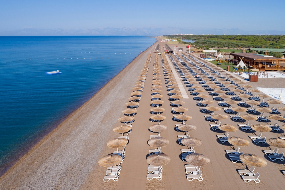
It is 12 km. east of Antalya. The sand is very fine and covered with pine forests. There are public beaches, casinos to meet the need for food and drink and changing cabins.
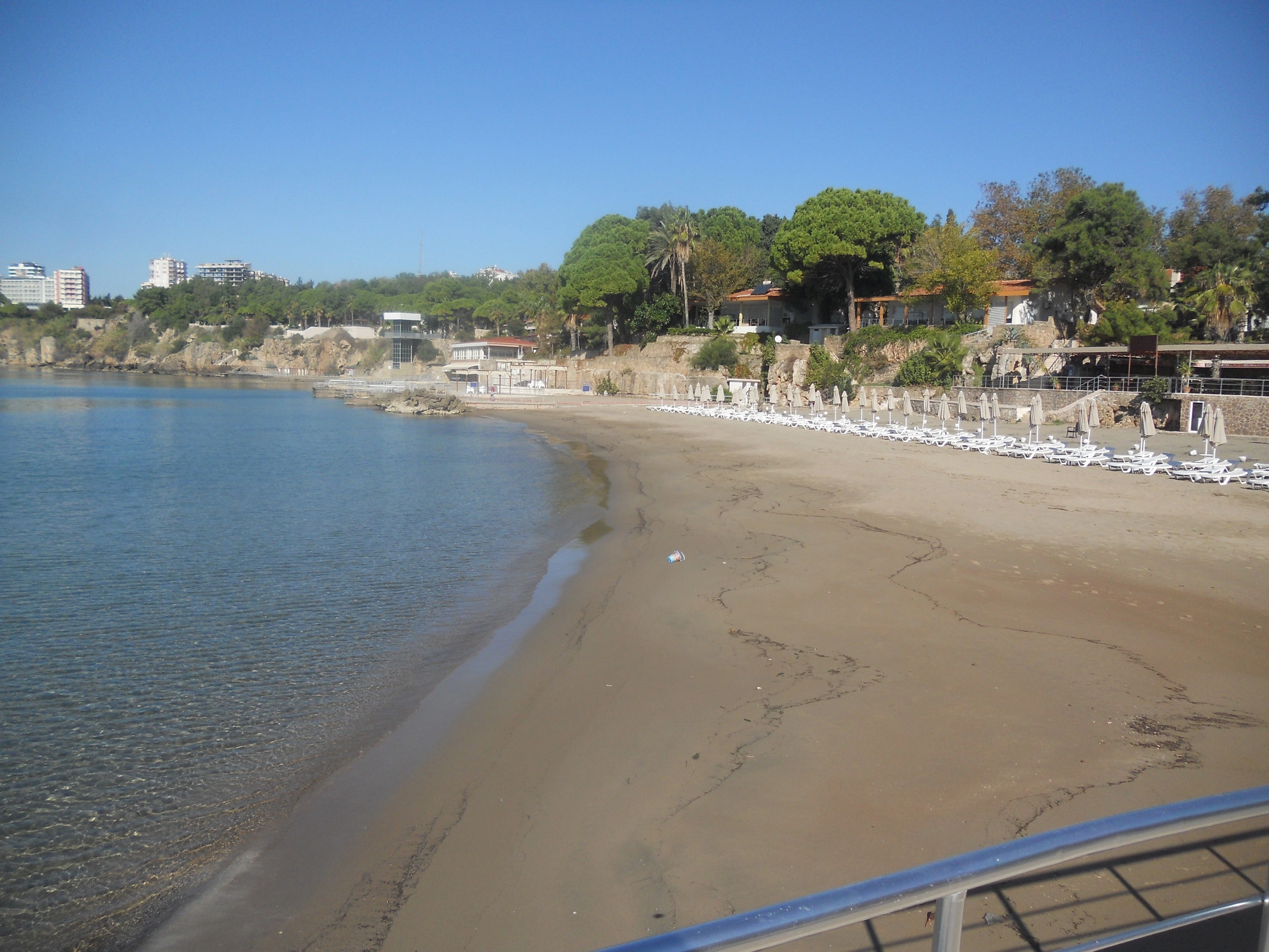

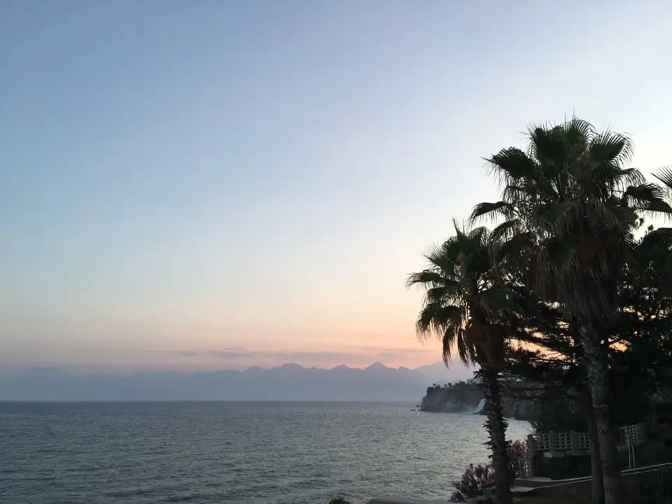
It is located to the west of Lara Beach where the Duden Waterfall flows into the sea. Used as a military rest camp, the sand of the beach is very fine and the sea is shallow.
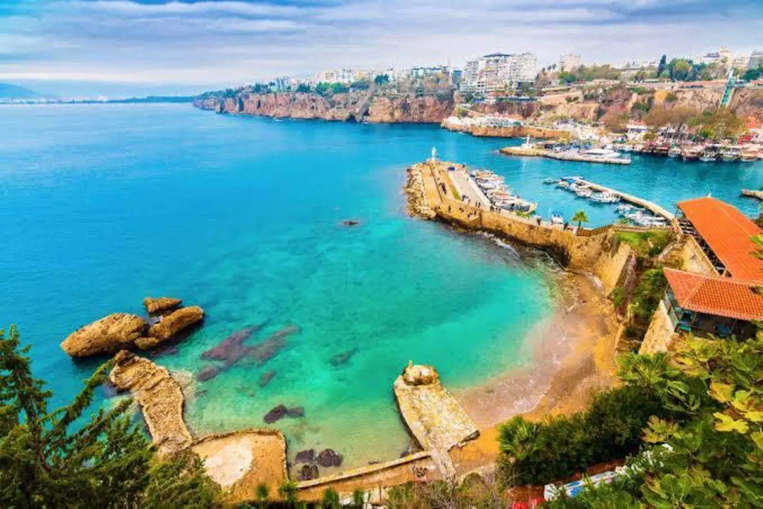
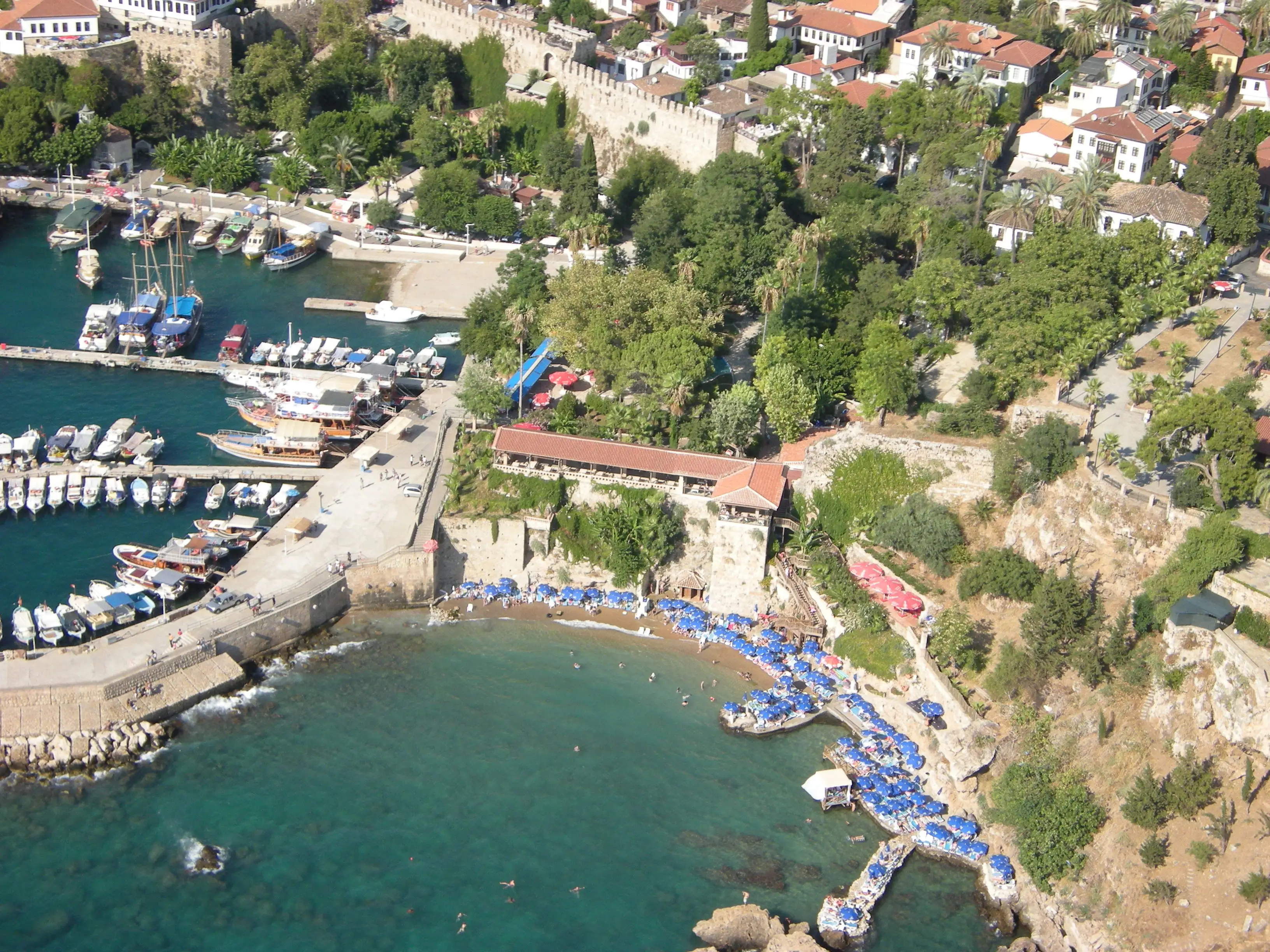
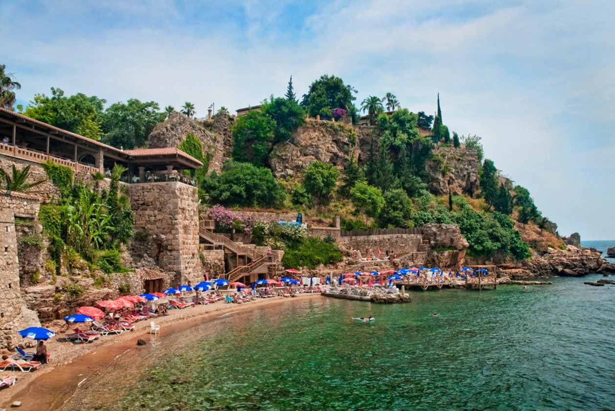
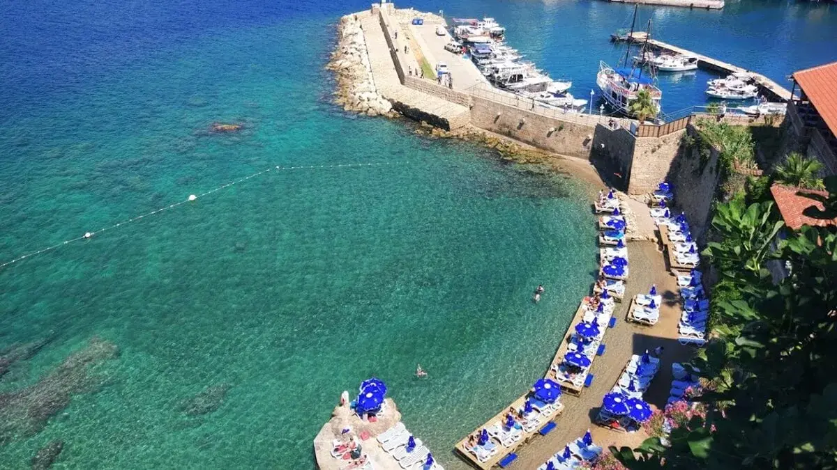
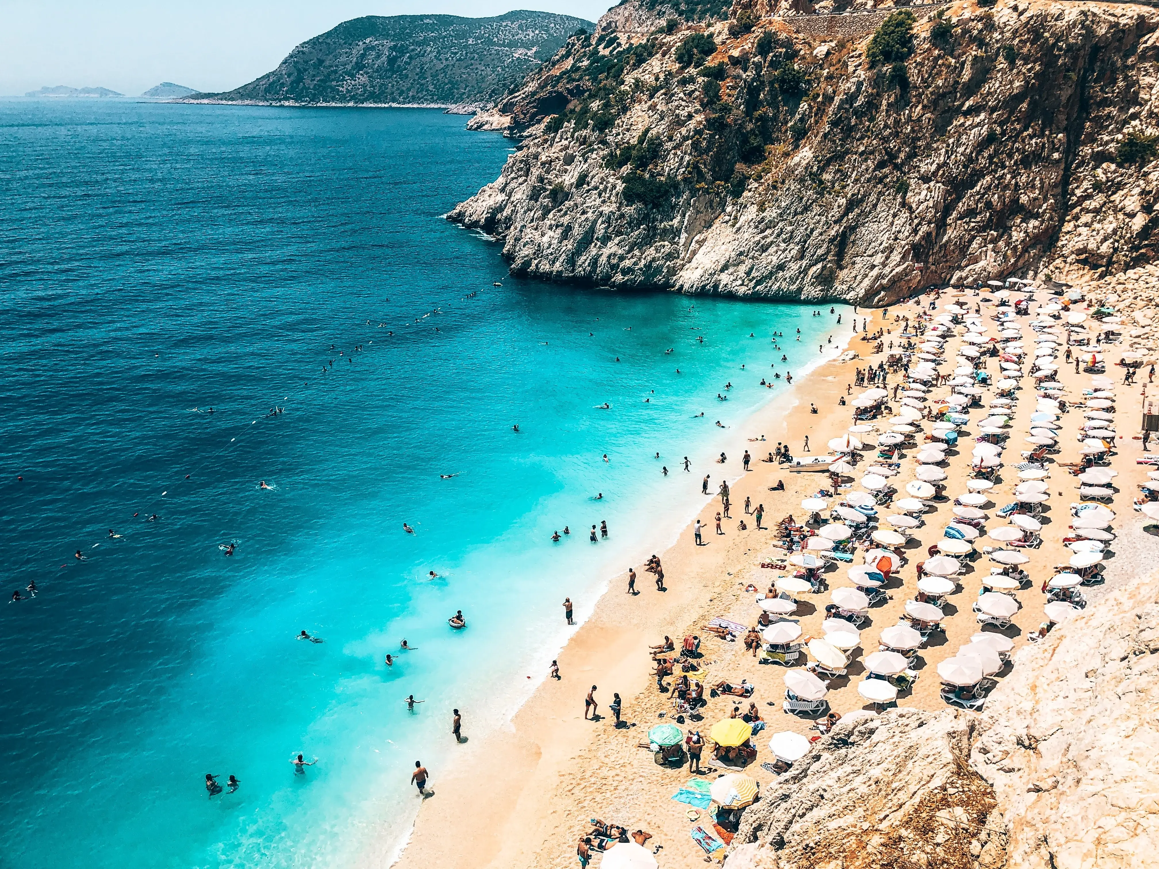
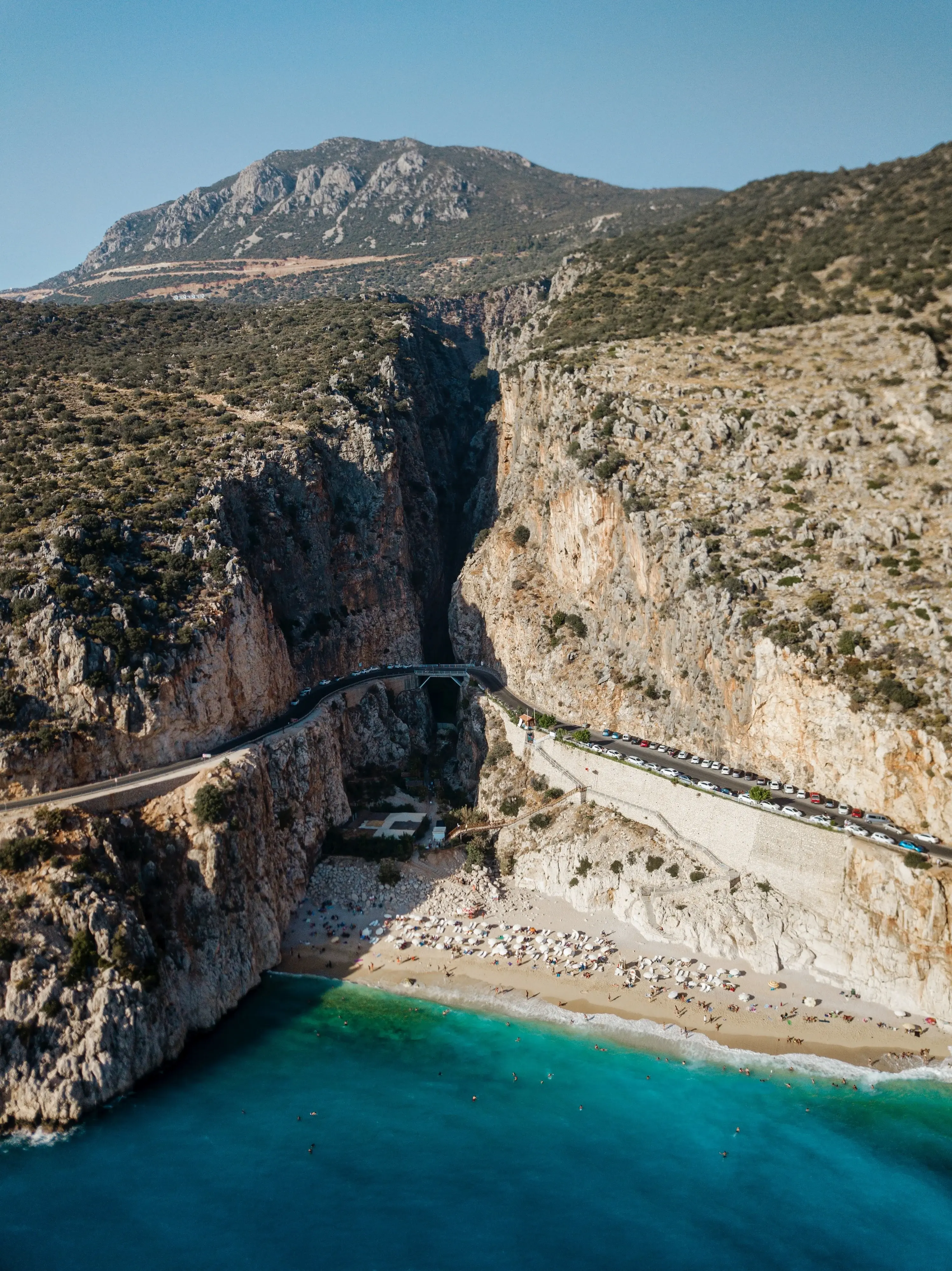
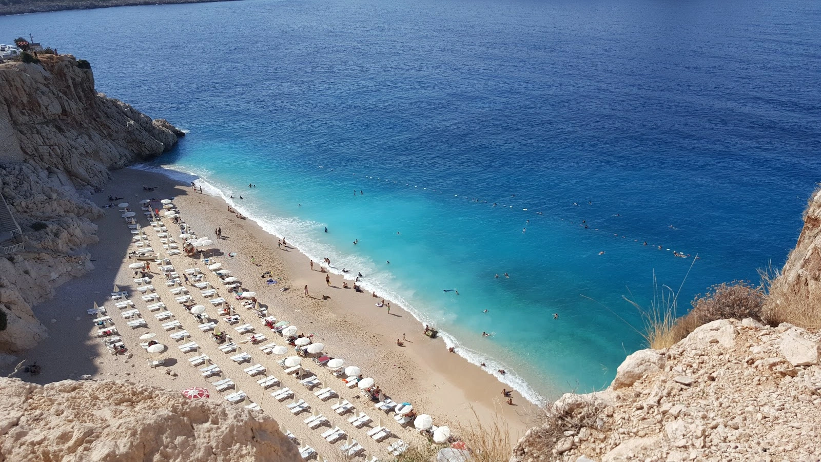
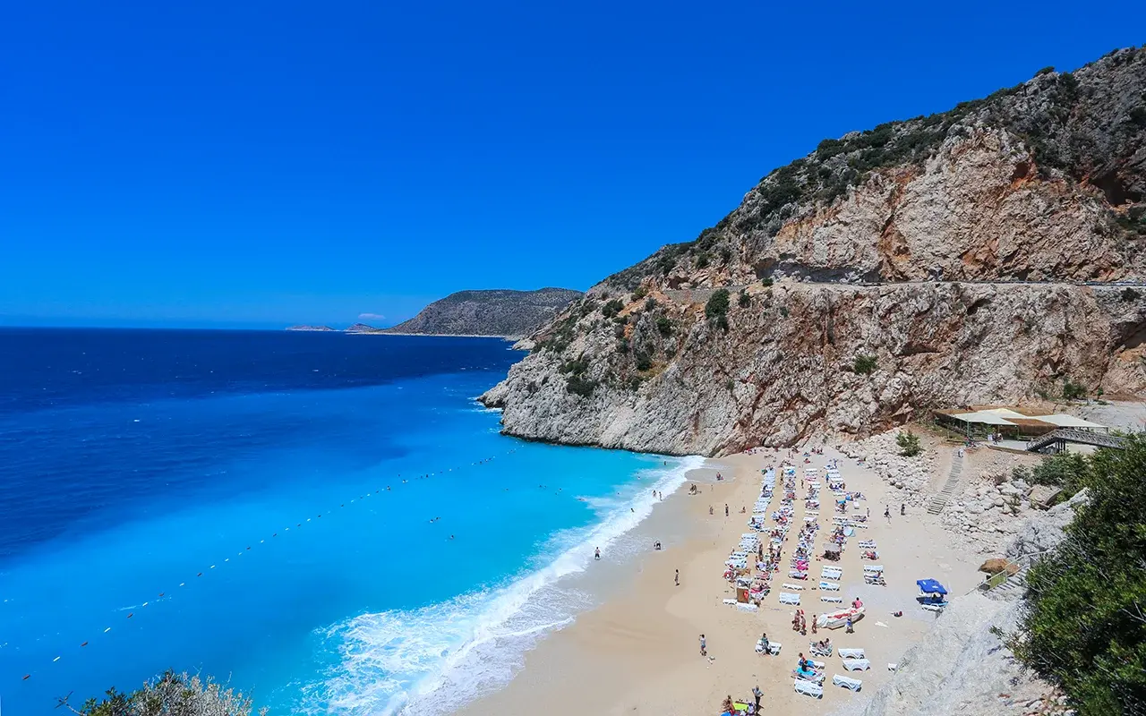
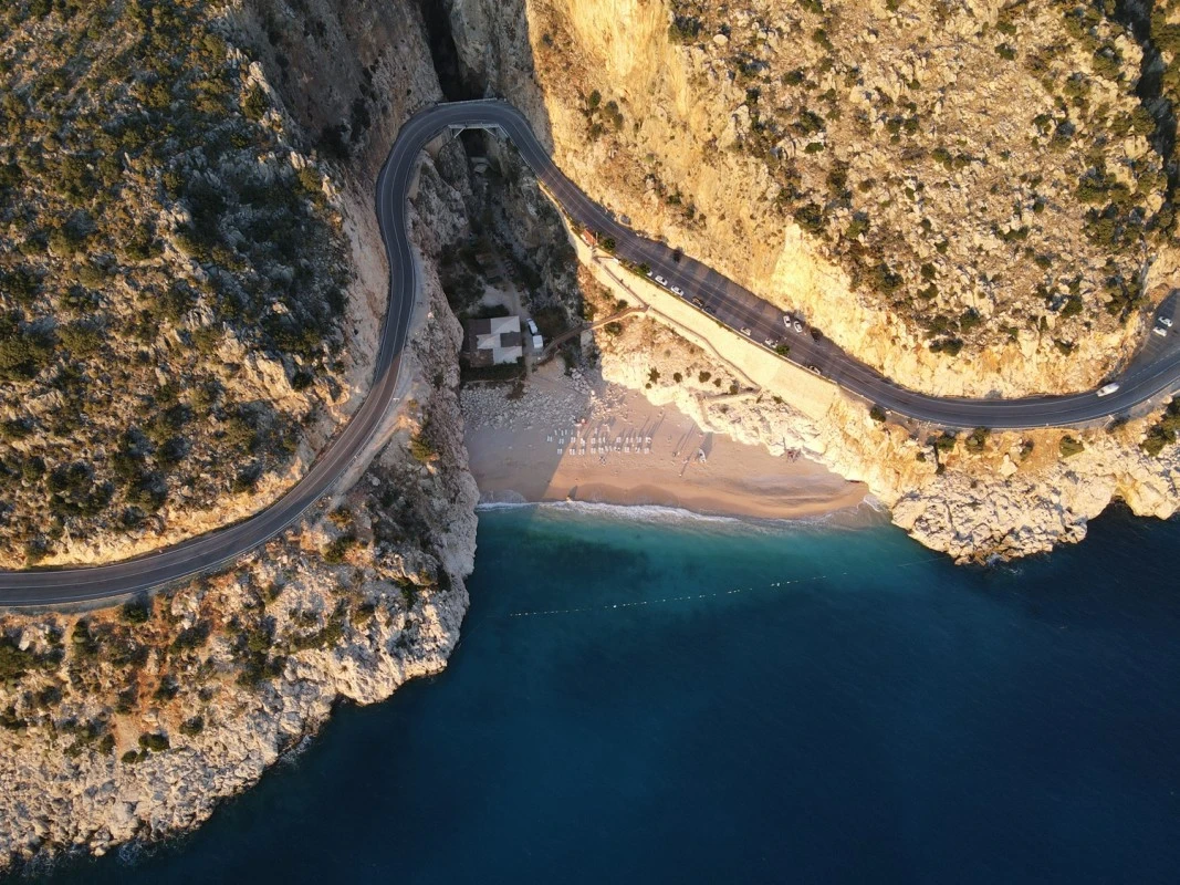
Kaputas Beach is a canyon mouth beach on the coastal road between Kas and Kalkan. The water is generally cool and turquoise in color as a result of the water flowing underground and filtering through the sand on the seashore. The beach is reached by descending 187 steps from the highway.
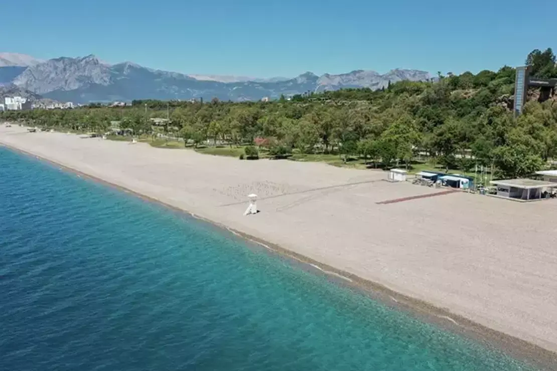
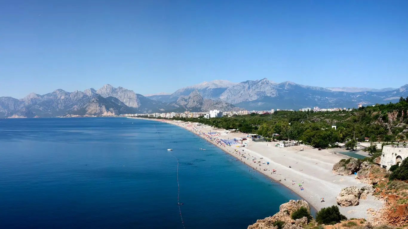
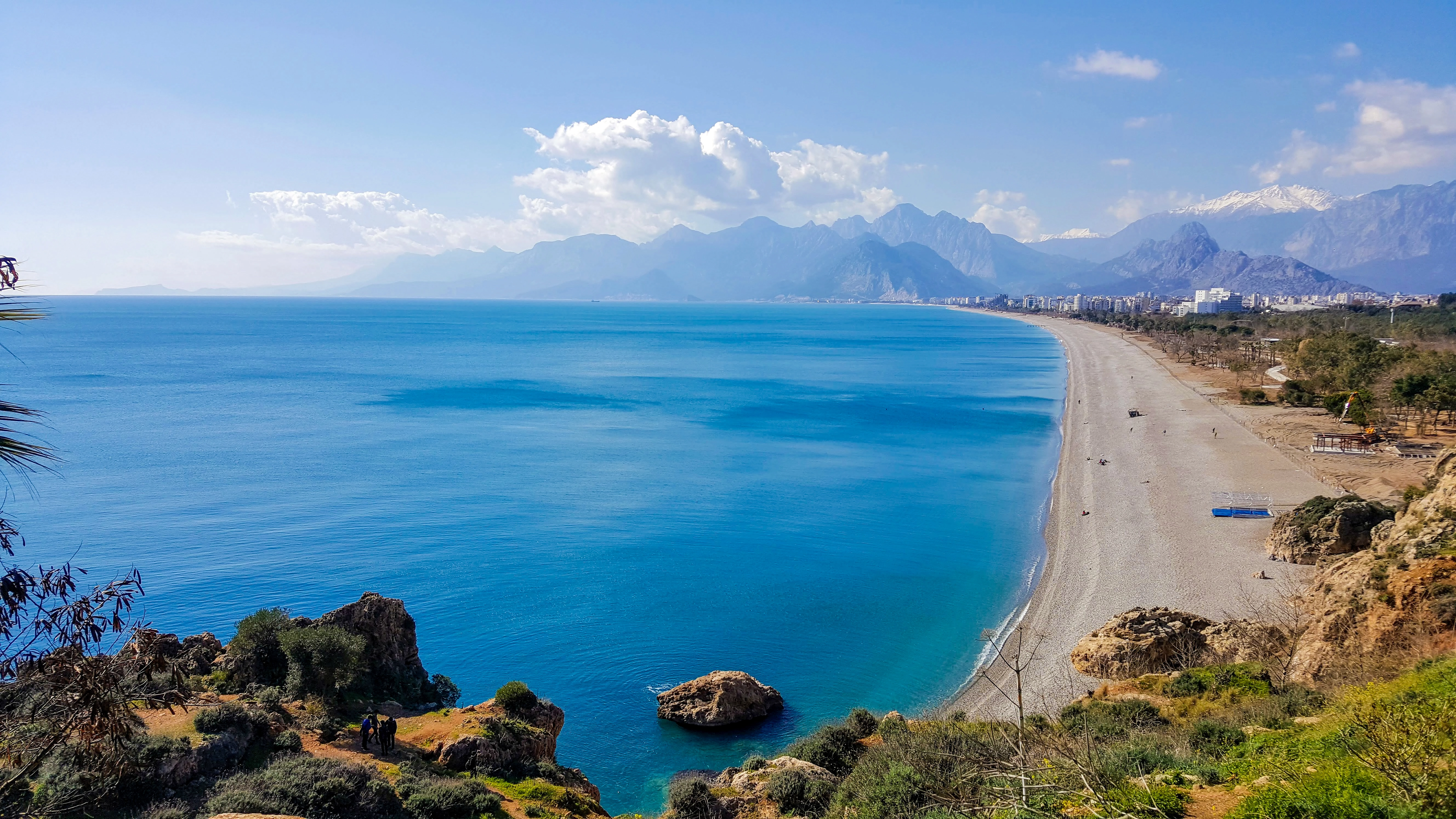
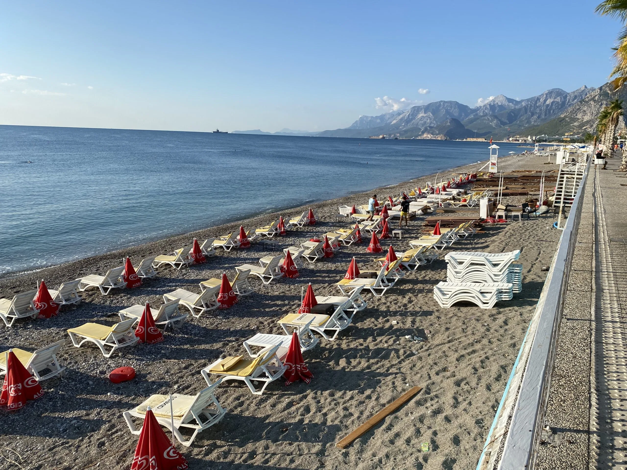
3 km. west of Antalya, about 1.5 km. long sand and gravel beach. There are public beach facilities built and operated by the municipality, as well as casinos, hostels and hotels that can meet the needs of eating and drinking,
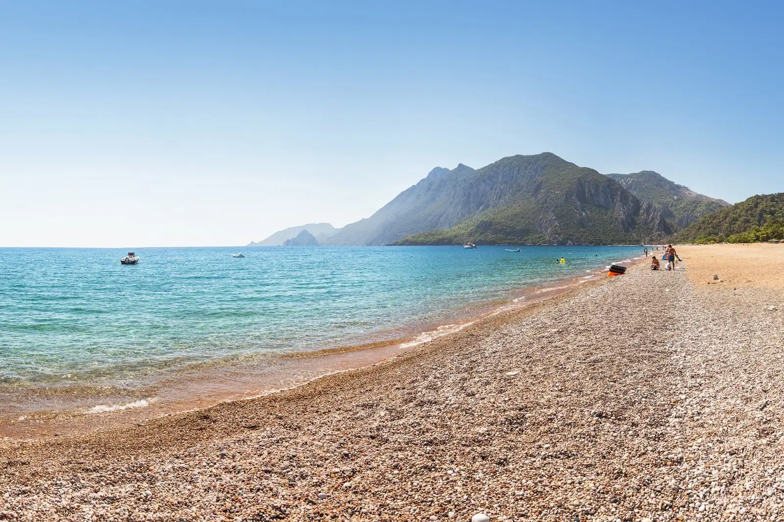
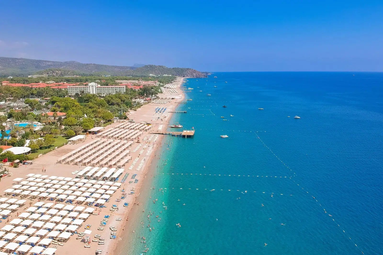
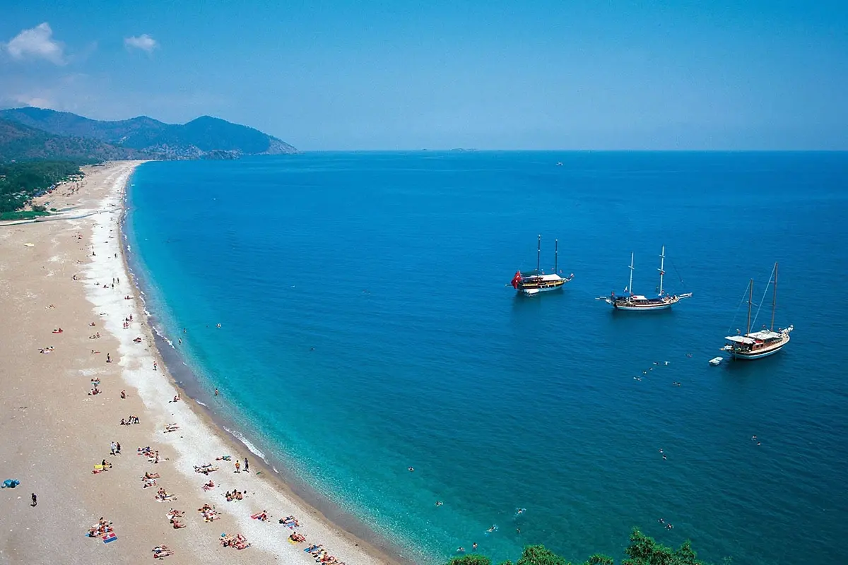
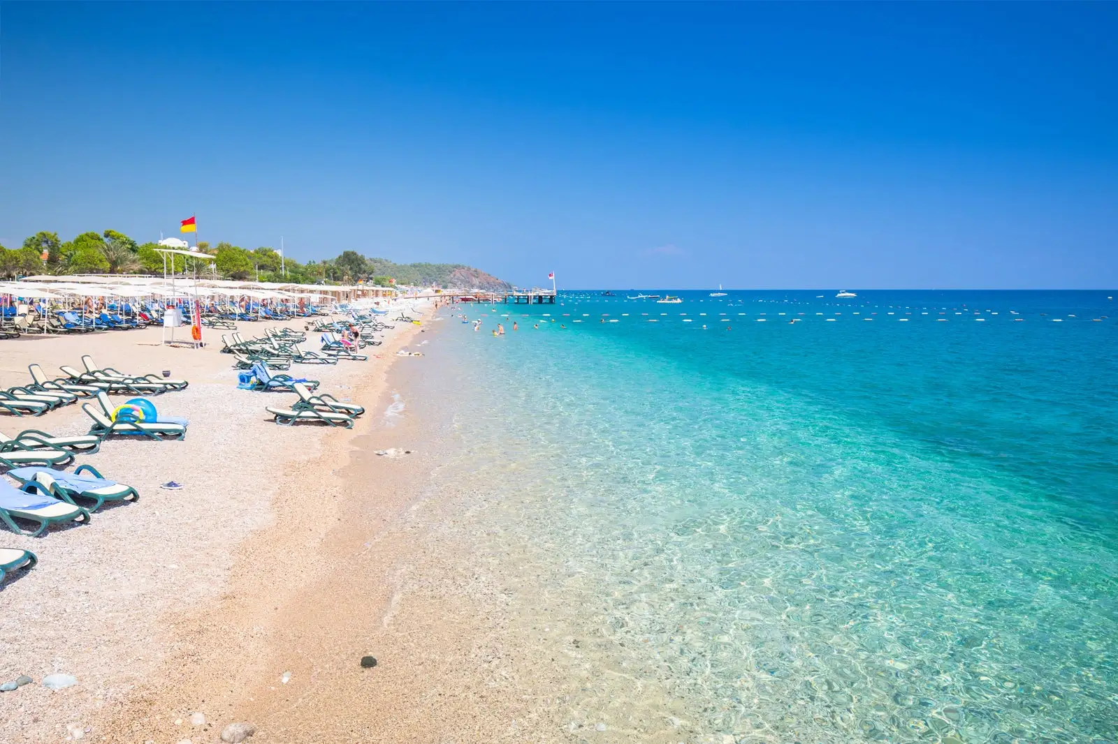
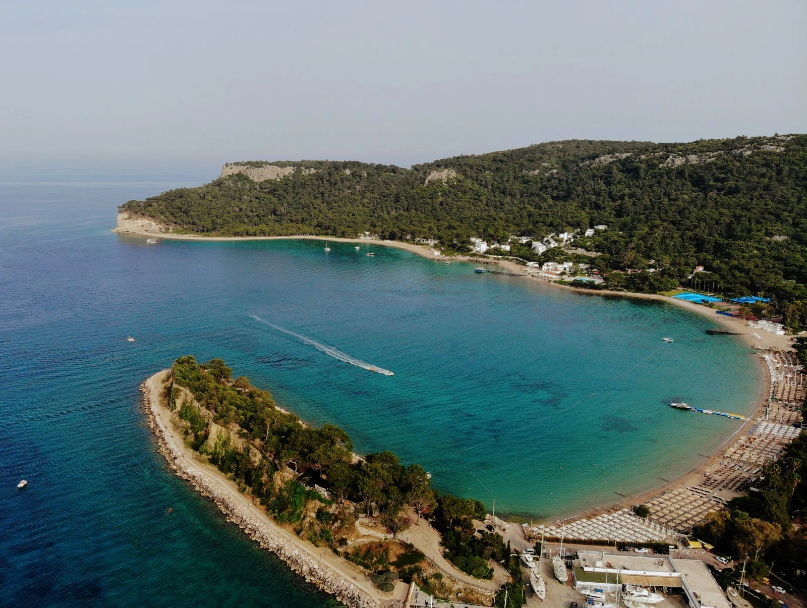
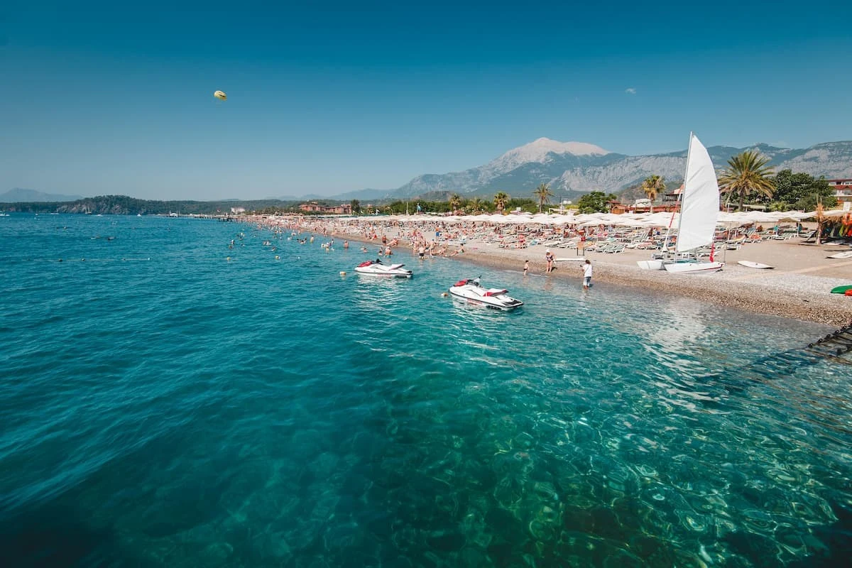
The section starting from Beldibi to Tekirova in Kemer is a natural beach consisting of fine sand. Municipality Beach in Kemer center, Ayışığı Beach next to the marina and Phaselis Beach are among the beaches preferred by swimmers.
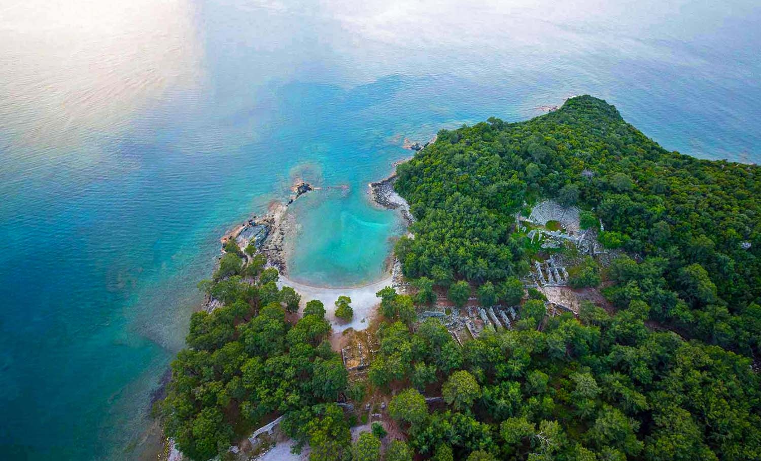
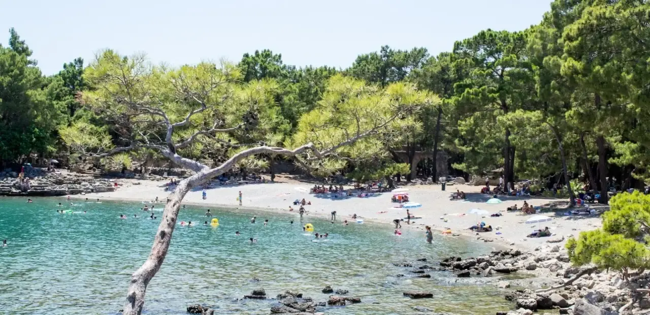
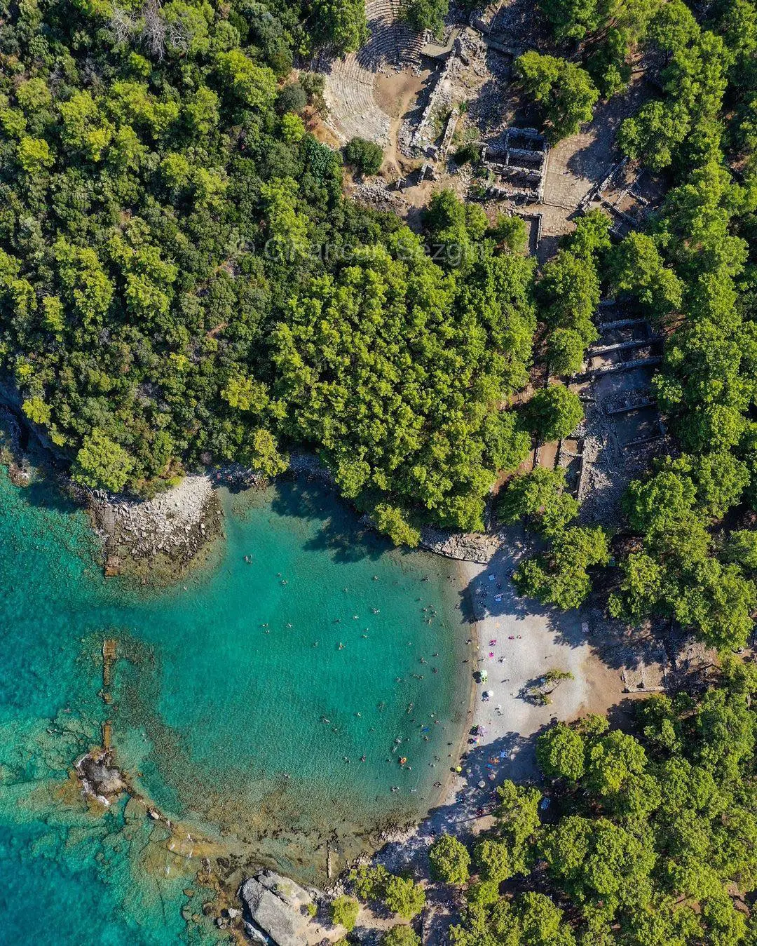
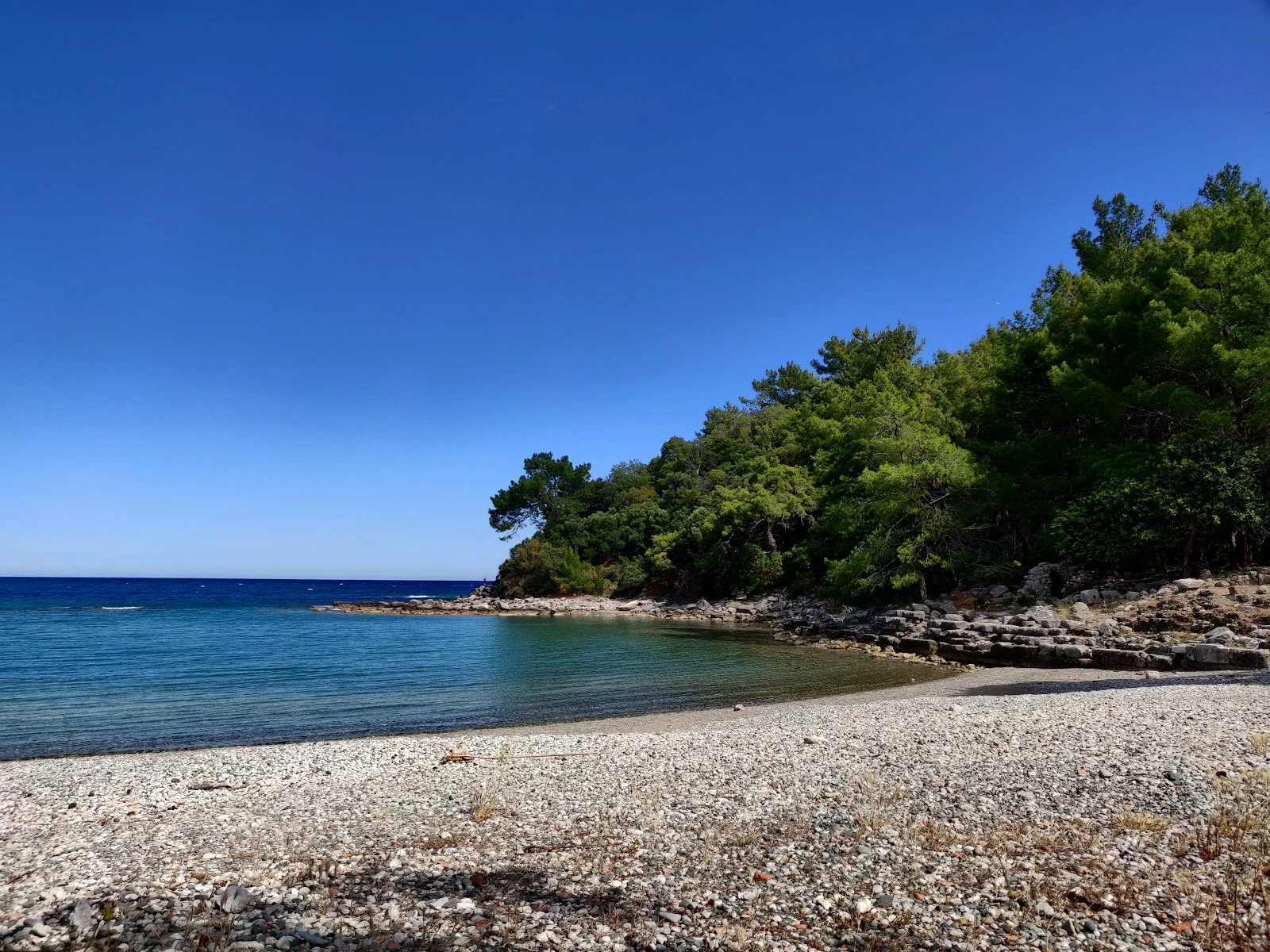
History, mountains, sea, forest, shallow bay and fine sand combine to create a beach of unparalleled beauty.
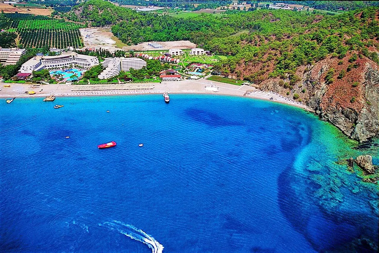
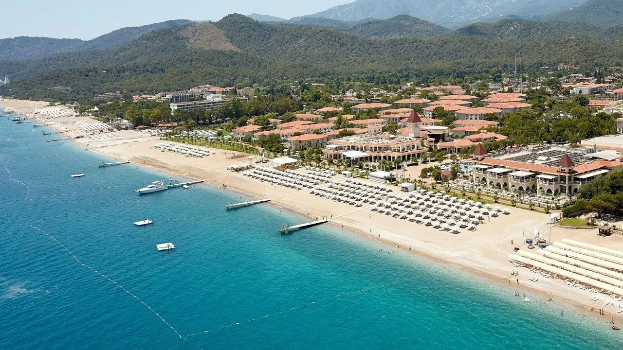
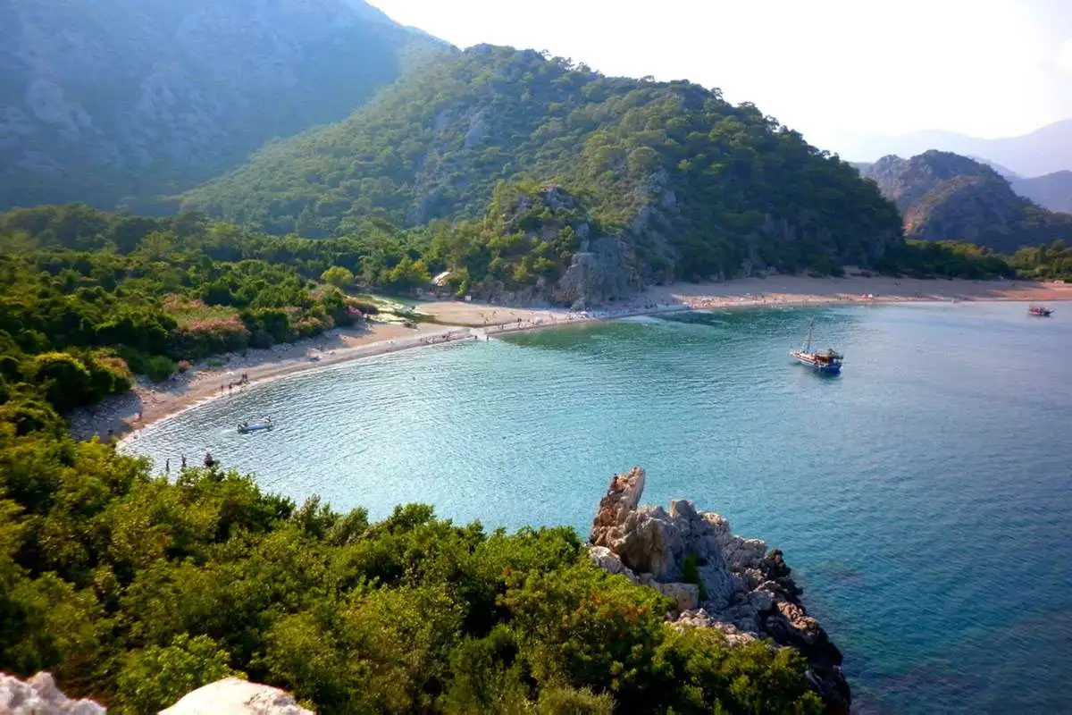
It is characterized by rocky and sandy coasts, wild natural beauty and fragrant oranges.
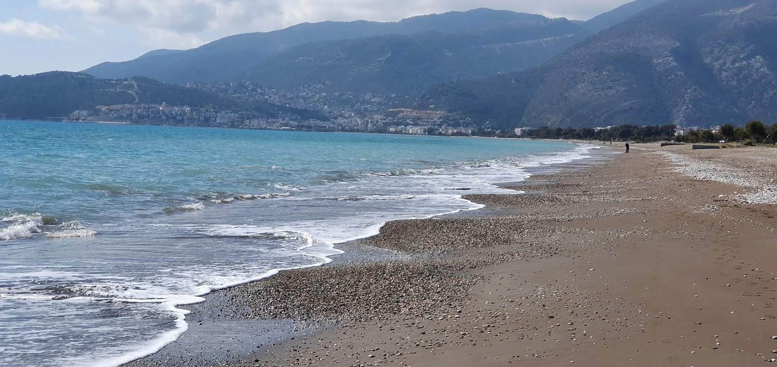
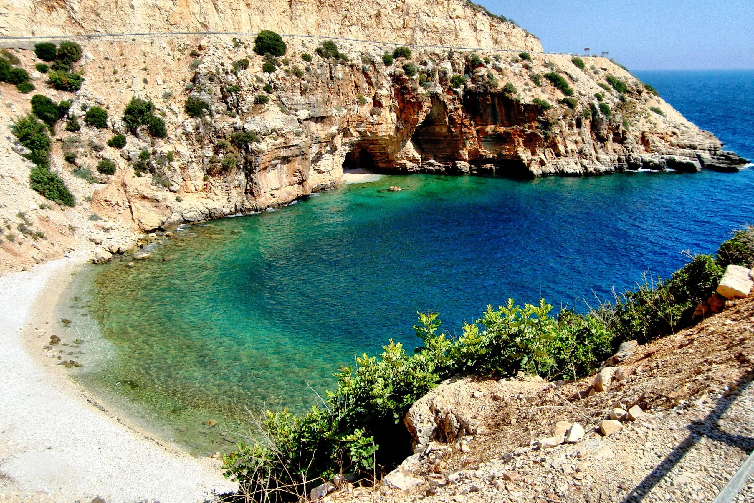
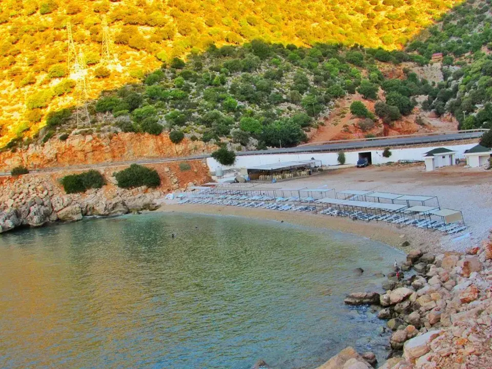
It has the natural beaches of the Mediterranean coast with fine sand and beautiful scenery.
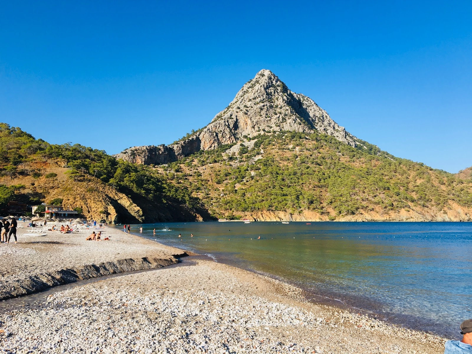
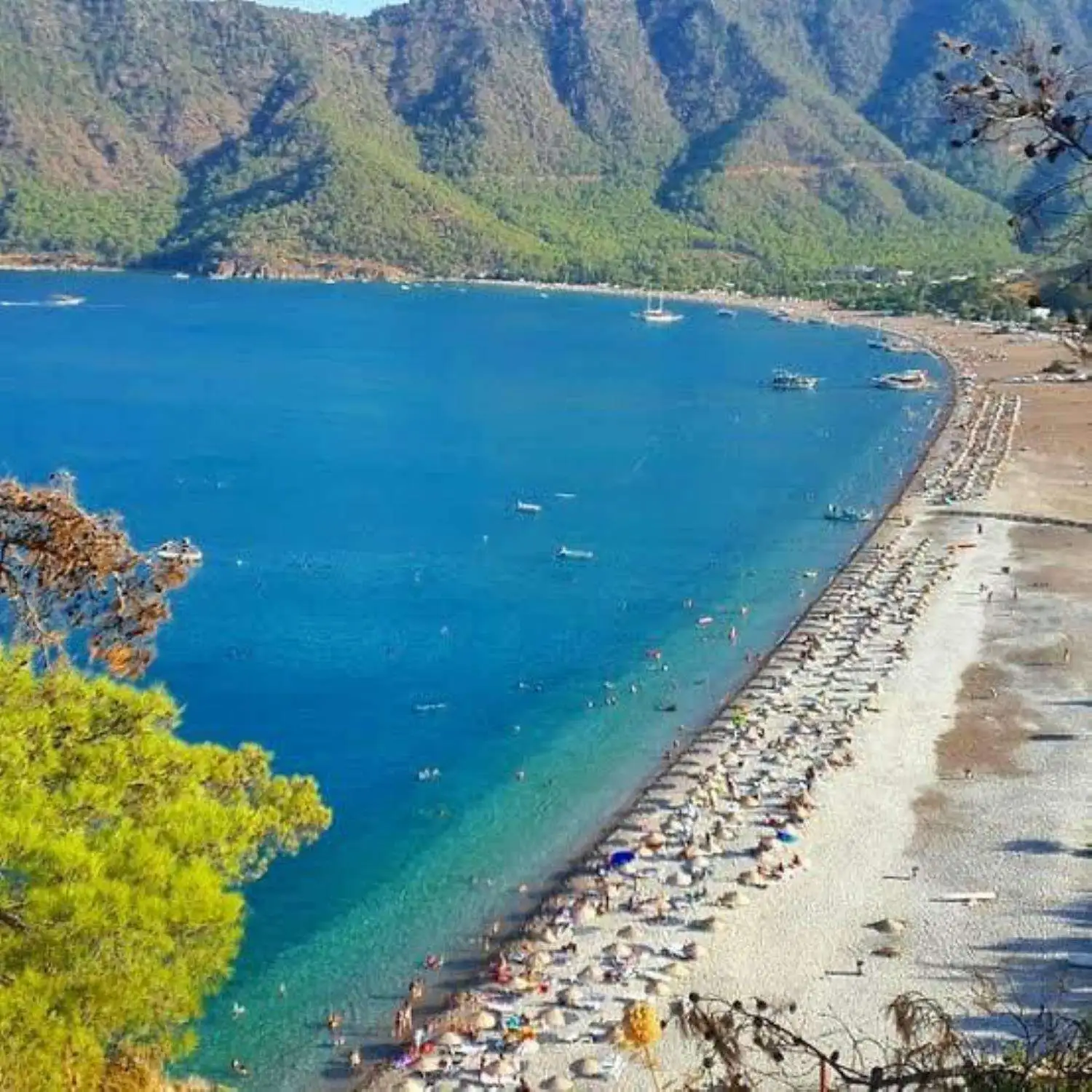
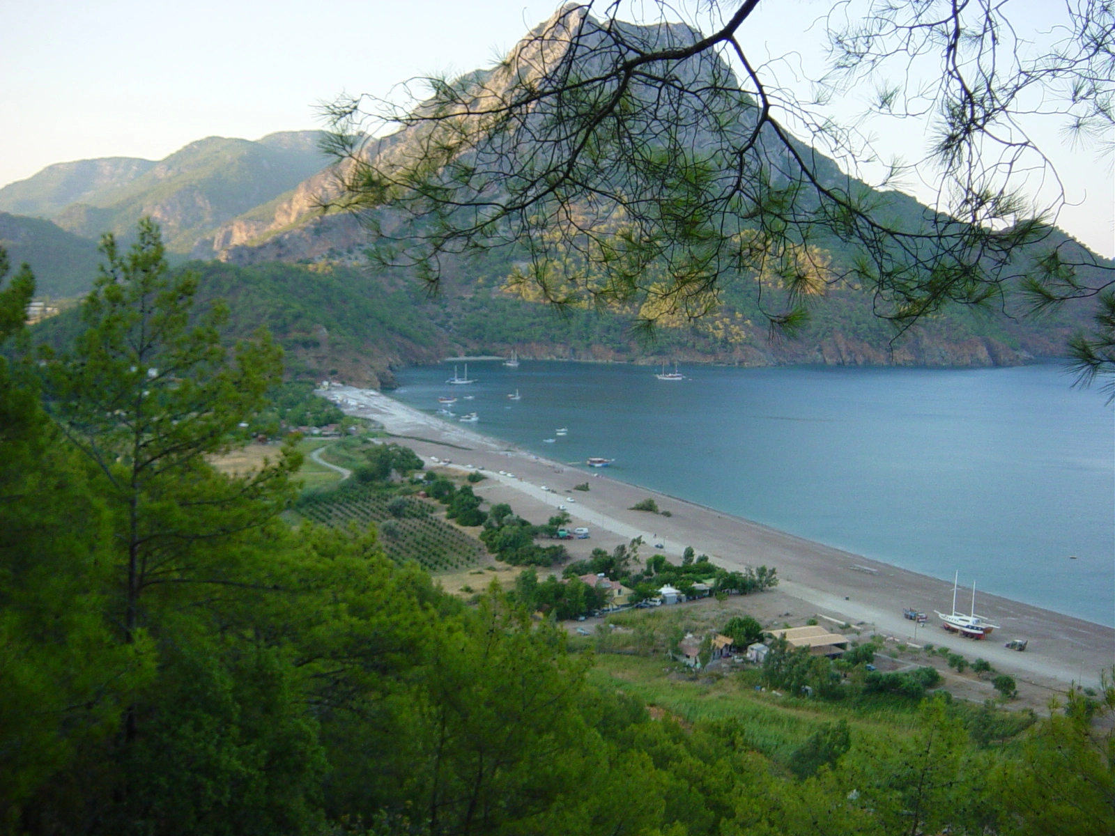
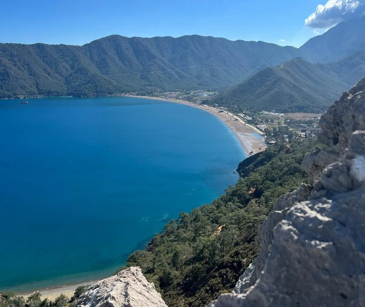
It is a natural harbor of Antalya and has natural beaches with rocky and fine sand and a beautiful landscape.
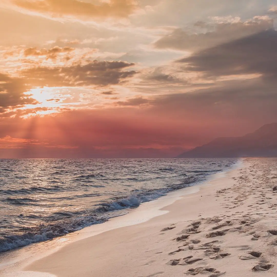
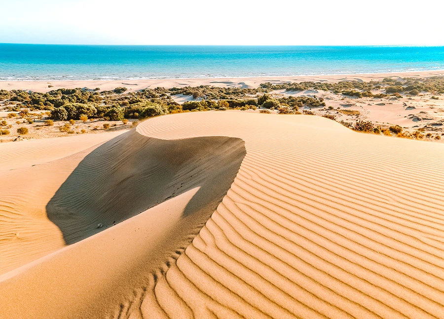
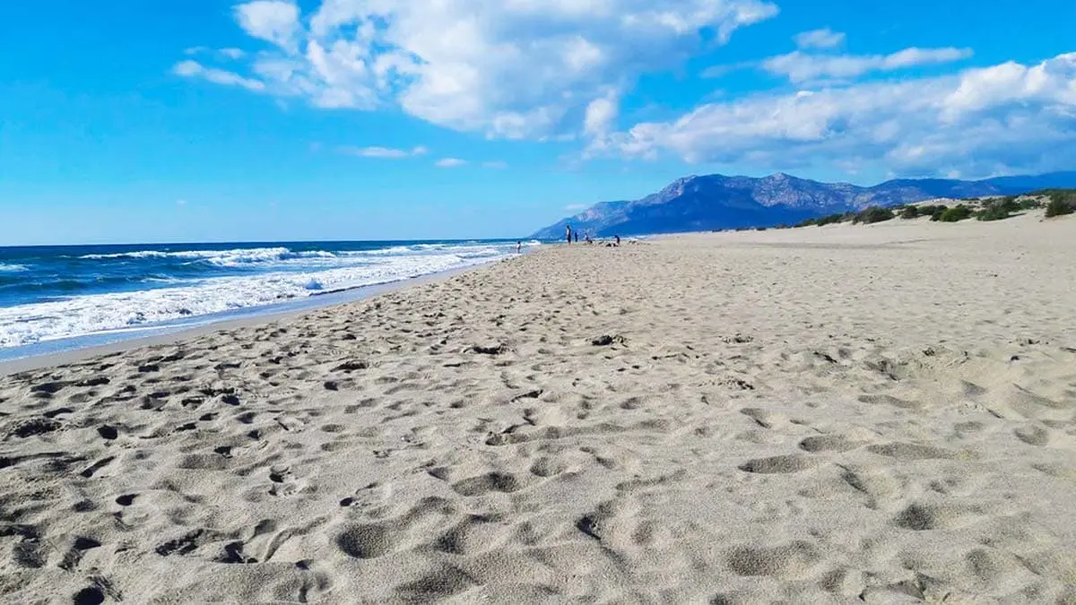
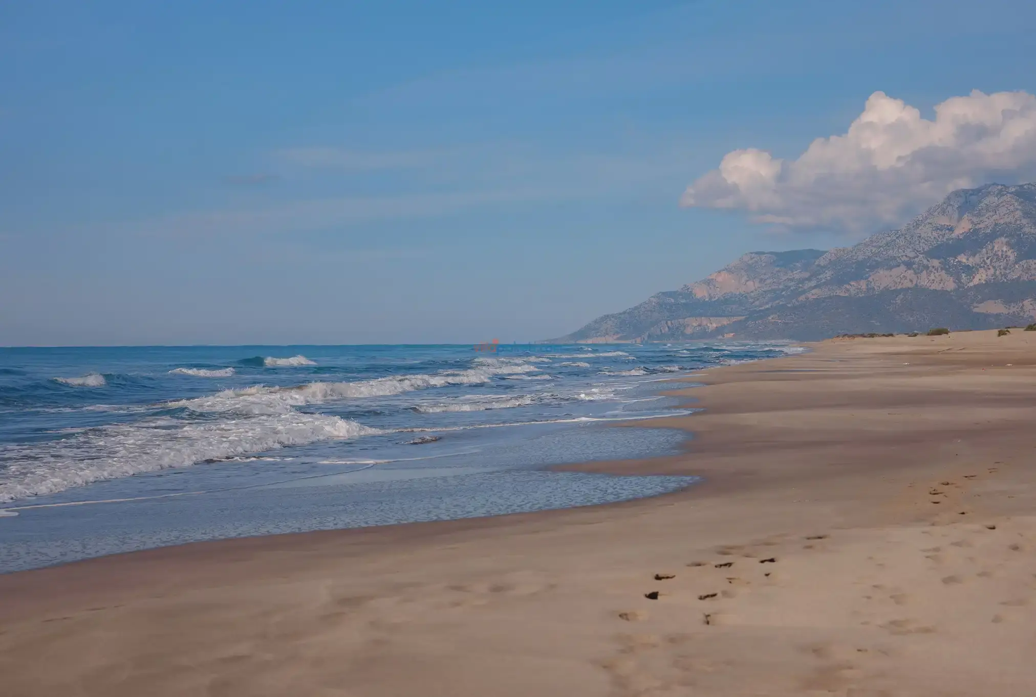
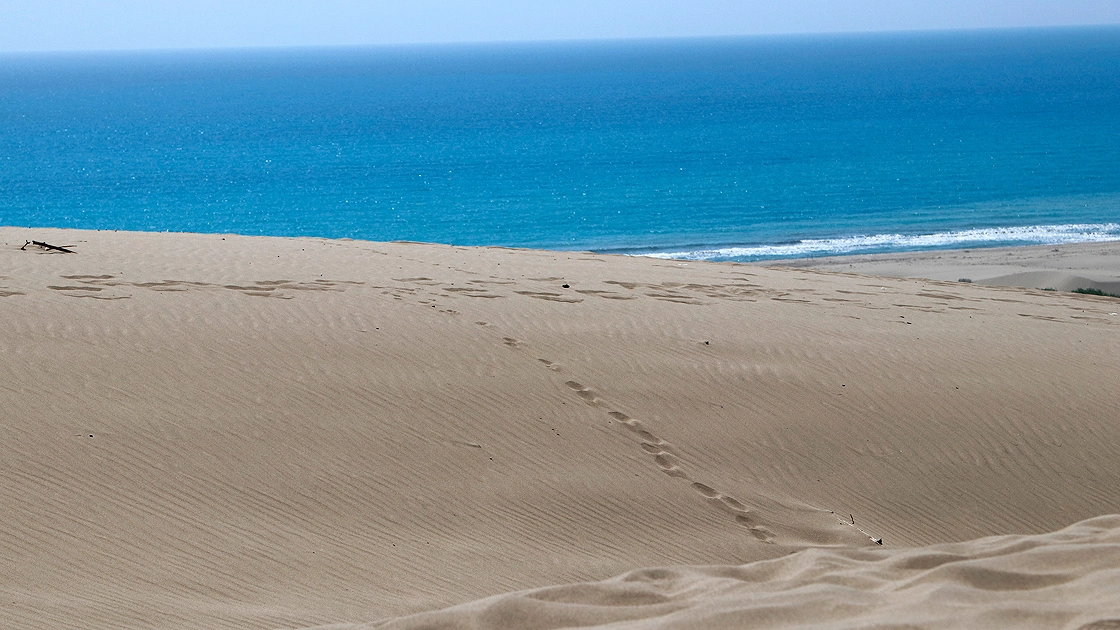
Patara, which is a Special Environmental Protection Area, is 45 km. away from the district center on the Kas-Fethiye road. Patara is the widest and longest sandy beach in Turkey.

The beach, which used to be the promenade of Sultan Reşat, is a natural beach covered with forests on the Kemer road, about 15 km. west of Antalya.
