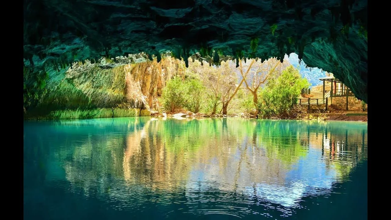
Altınbeşik Cave
Description
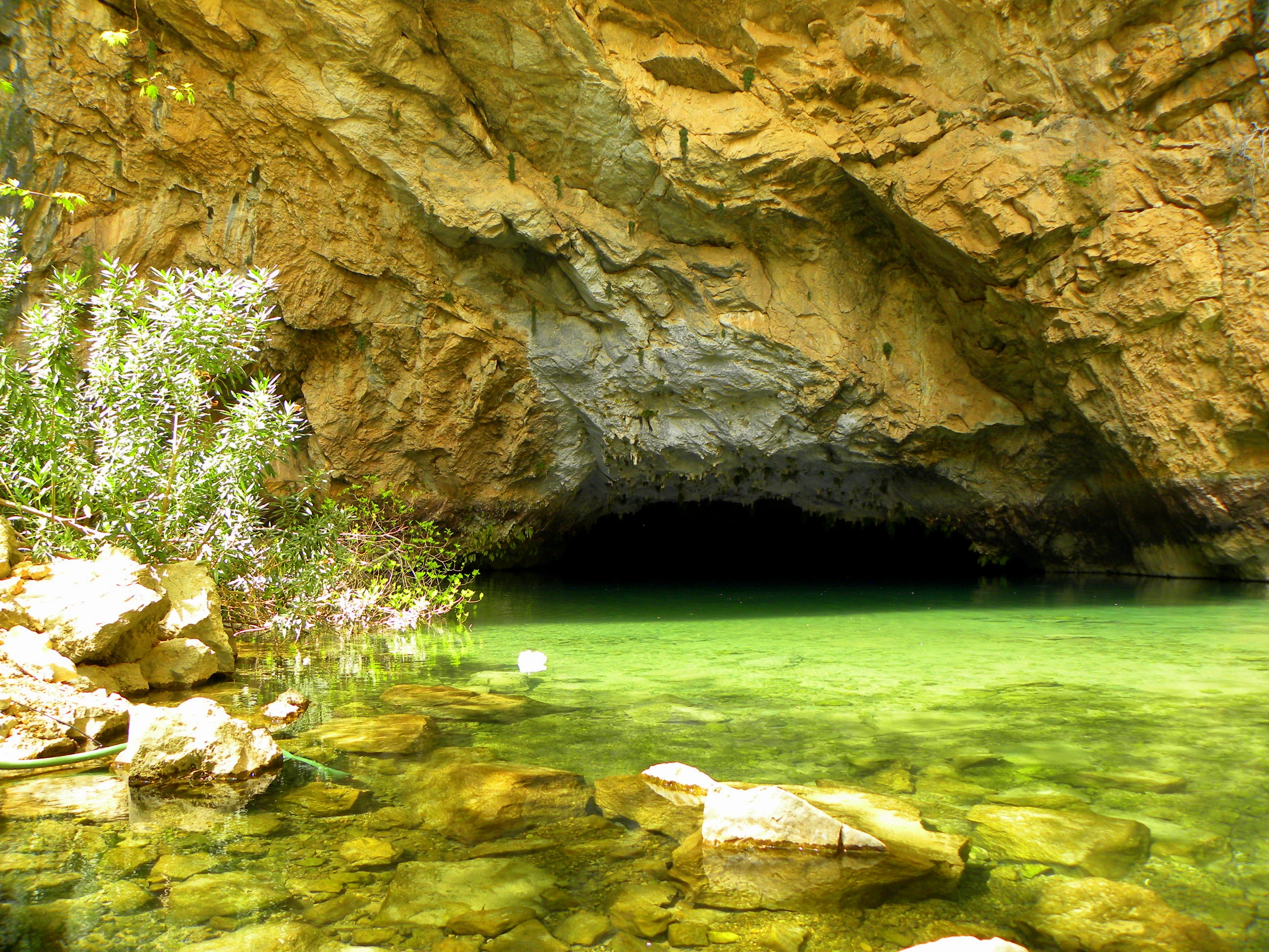
It is located on the western slope of the deep and steep Manavgat Valley east of Ürünlü village in Akseki district. The cave in the village can only be reached by a one-hour walk. The total length of the cave is 2500 m. The highest point of the cave is 101 m according to the entrance.
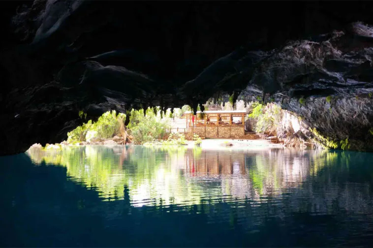
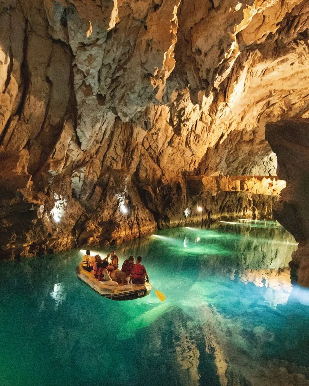
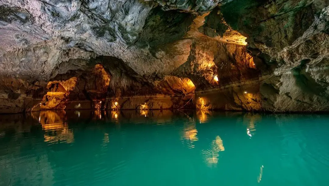
It is a horizontal and partially active cave. Since the lower and middle levels of the cave are active from time to time, ponds are formed to a great extent in dry seasons. The upper level is always dry. The cave air is very humid and the temperature is around 16-18°C. No remarkable animal communities were encountered inside. Altinbeshik Cave is one of the most beautiful caves in Turkey. The surrounding karst topography and pine forests create a beautiful landscape. The cave is located at the exit end of a very long and large underground system. This large system, which draws water from Kızılova, Kambos and Söbüce, ends at Altınbeşik-Düdensuyu Cave under Oruç Düdeni Cave. Thus, this large underground water system is one of the longest and largest karst systems in the world, with a length of more than 100 km as the crow flies. The water coming out of the cave is connected underground with Lake Beyşehir.
Altınbeşik Cave takes its name from the Altınbeşik Hill located at the top. The Taurus Mountains have a very complex structure both geologically and geomorphologically in this region. Researches in the cave have not been completed yet.
Short Description
It is located on the western slope of the deep and steep Manavgat Valley east of Ürünlü village in Akseki district. The cave in the village can only be reached by a one-hour walk. The total length of the cave is 2500 m. The highest point of the cave is 101 m according to the entrance.

