Tour Regions
Choose Type
Historical Places
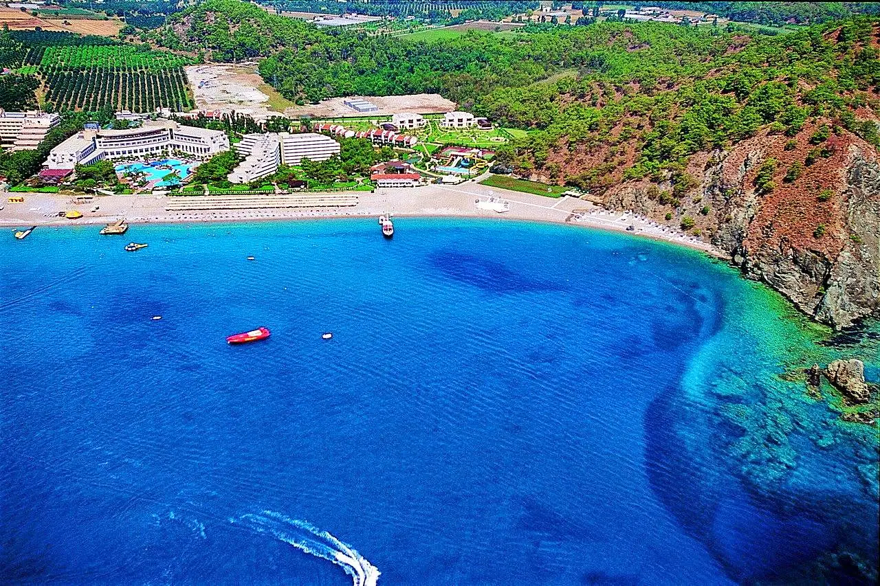
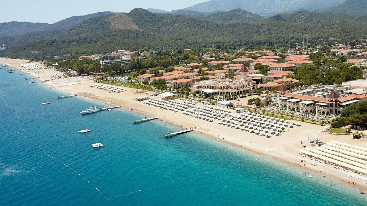
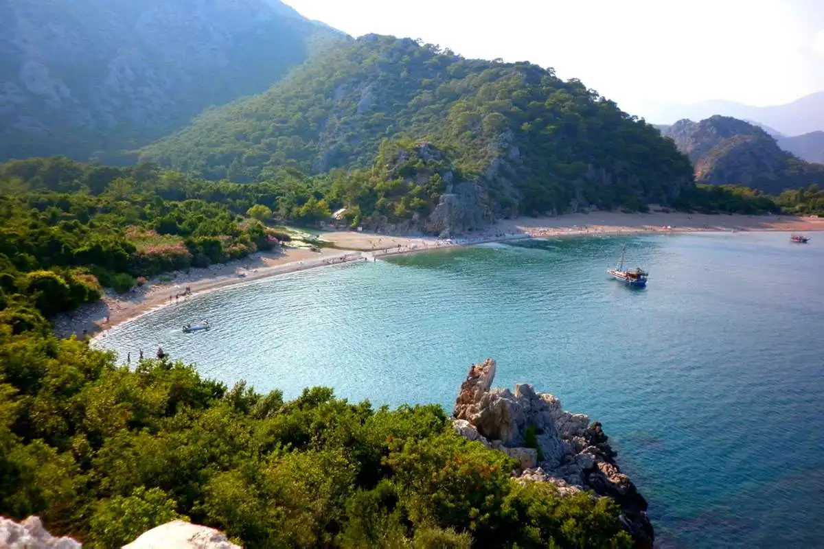
It is characterized by rocky and sandy coasts, wild natural beauty and fragrant oranges.

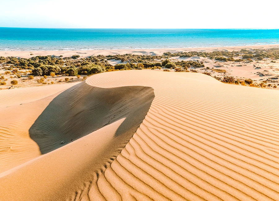
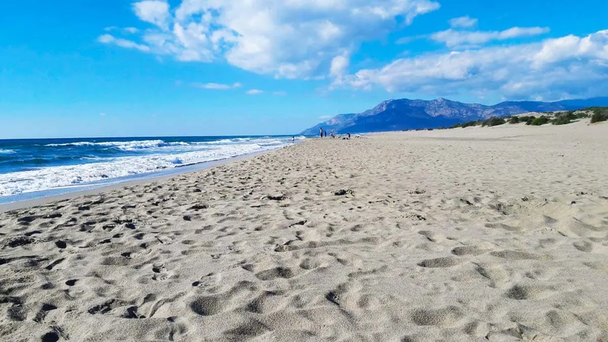
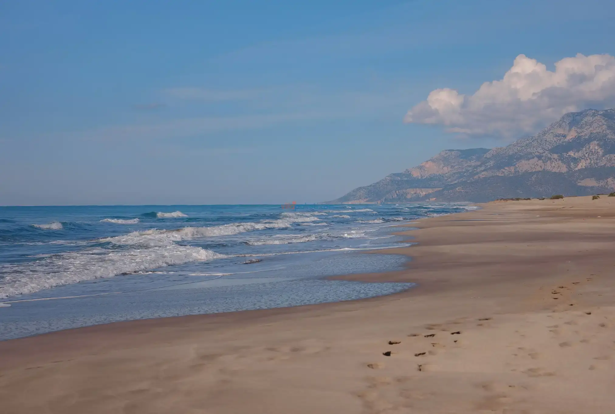
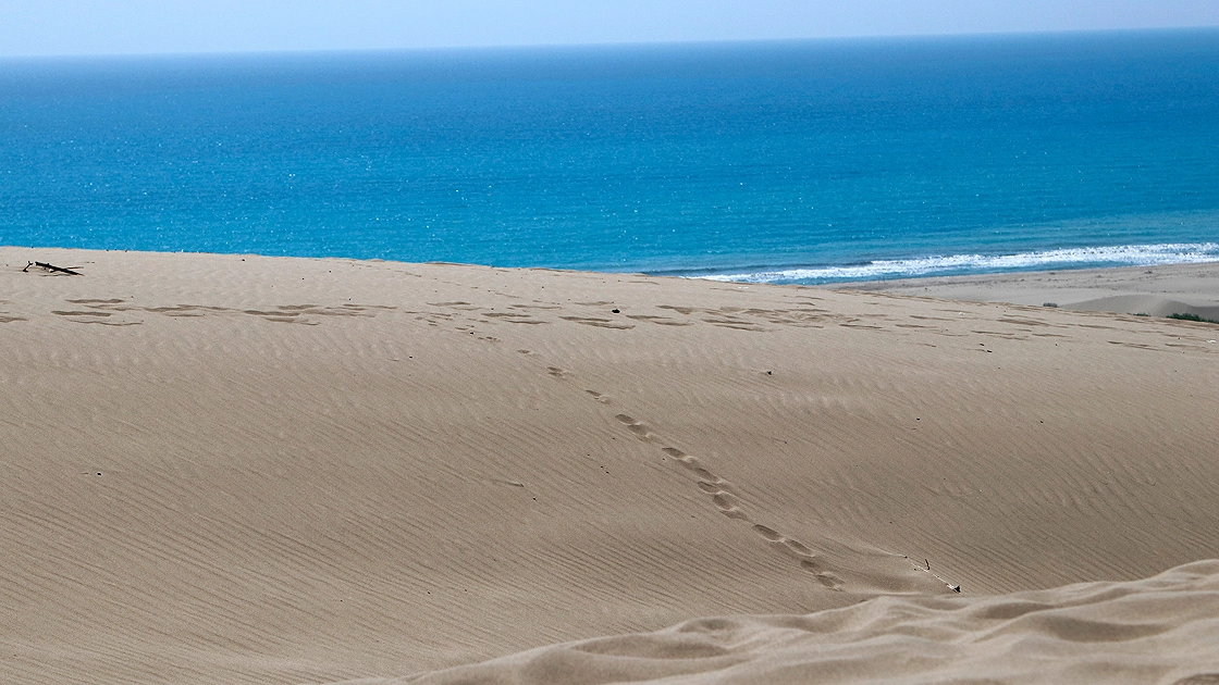
Patara, which is a Special Environmental Protection Area, is 45 km. away from the district center on the Kas-Fethiye road. Patara is the widest and longest sandy beach in Turkey.
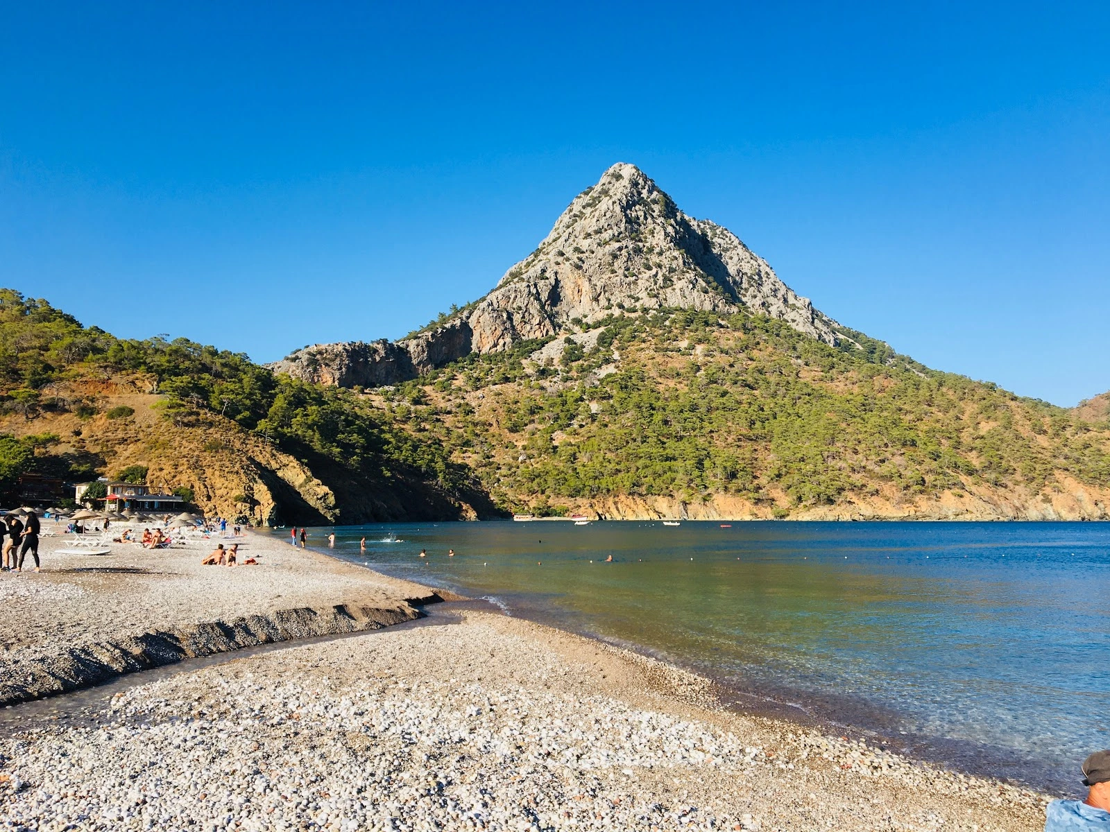
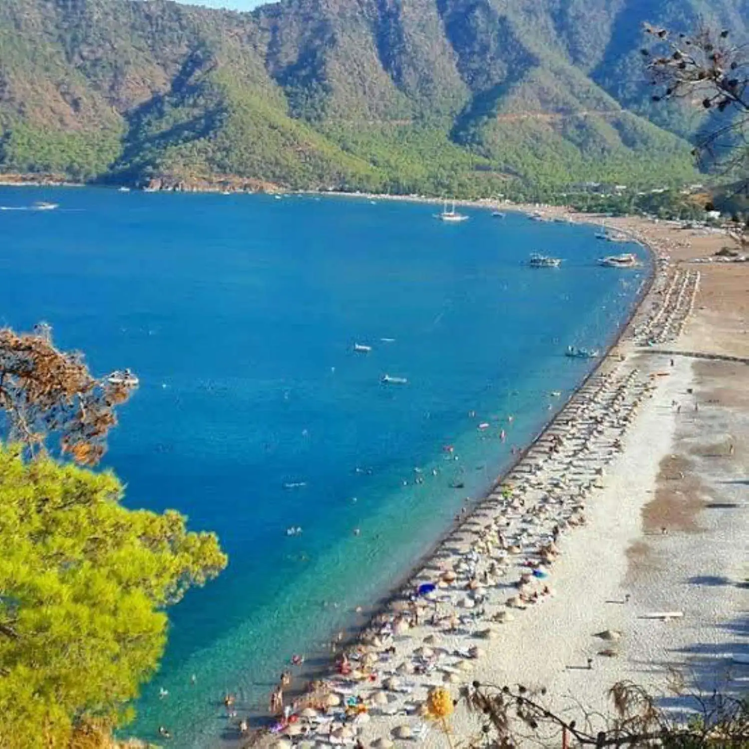
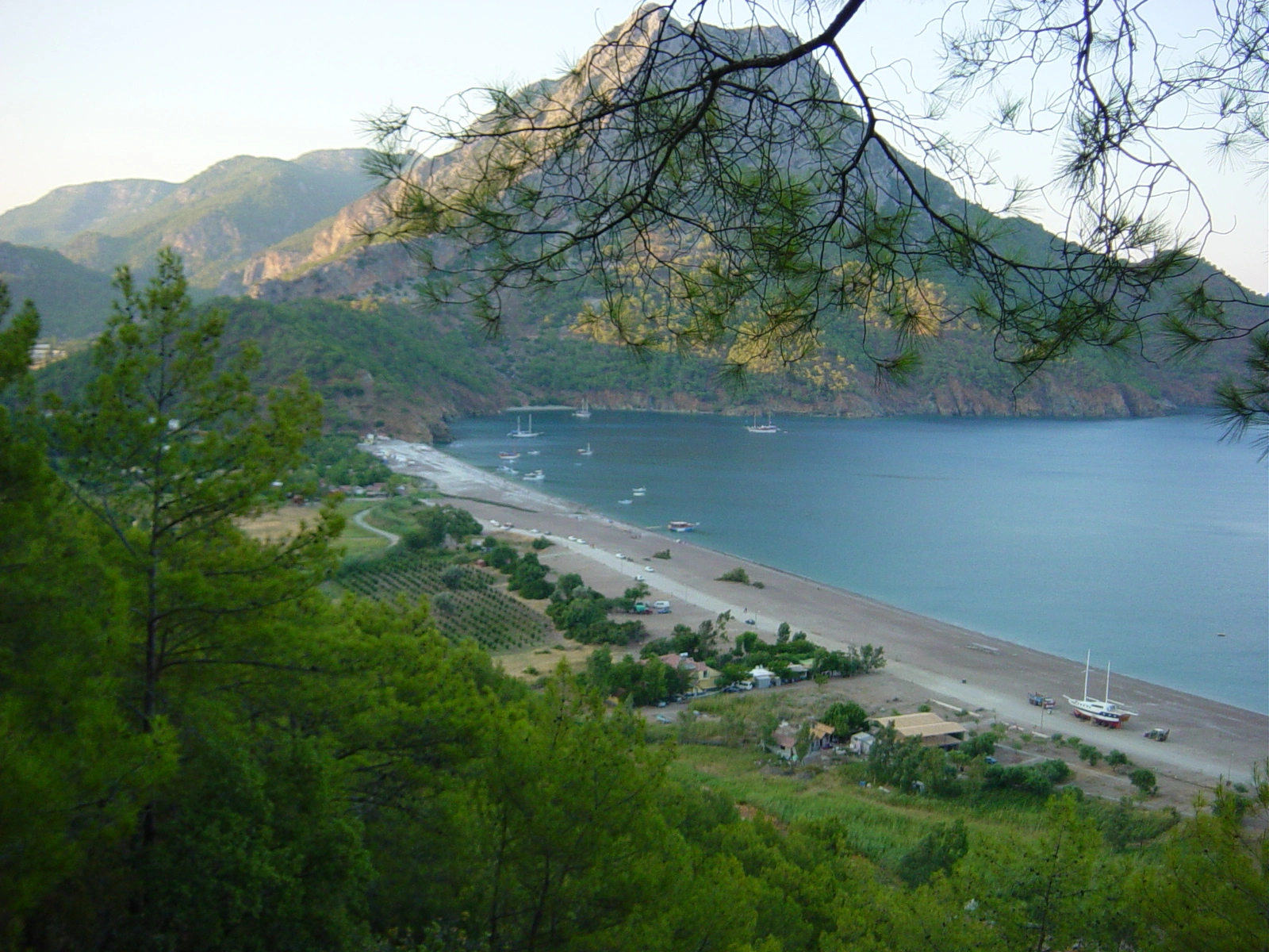
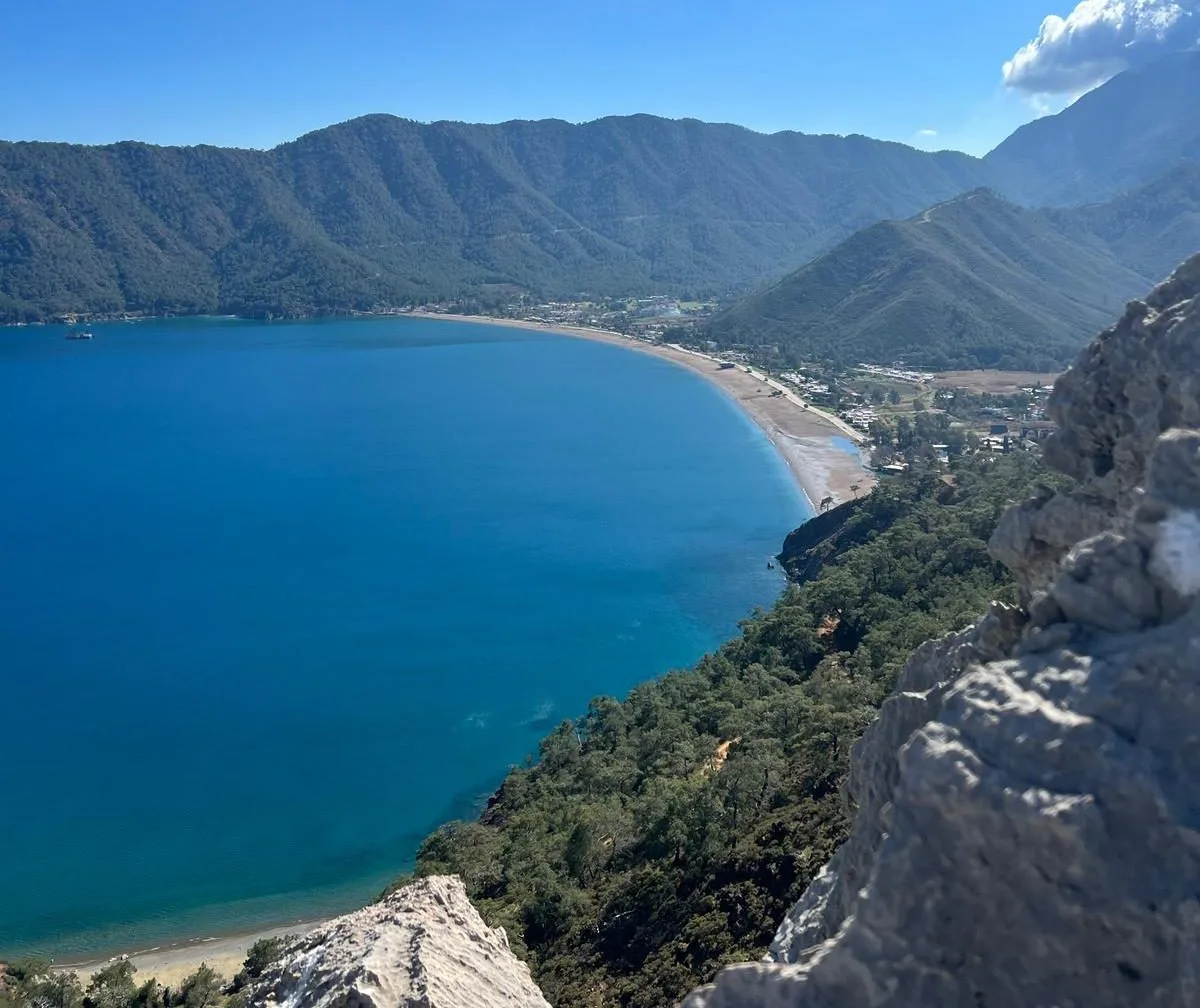
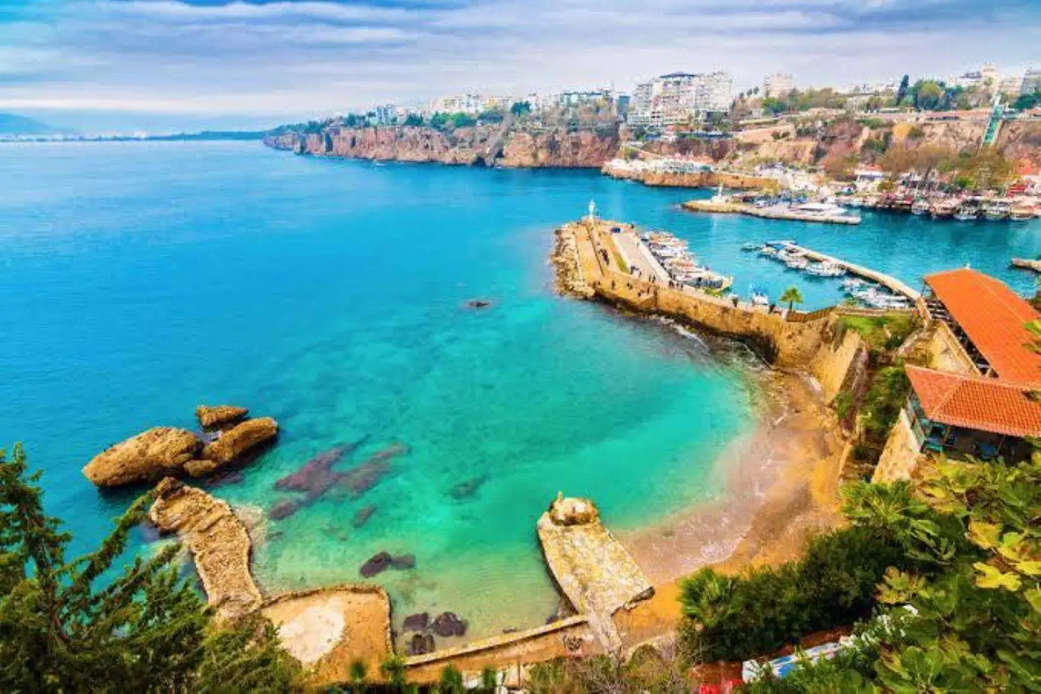
It is a natural harbor of Antalya and has natural beaches with rocky and fine sand and a beautiful landscape.
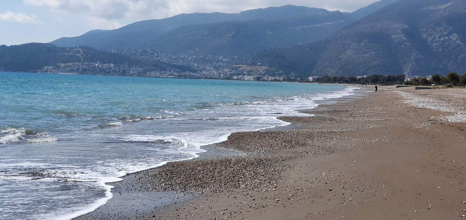
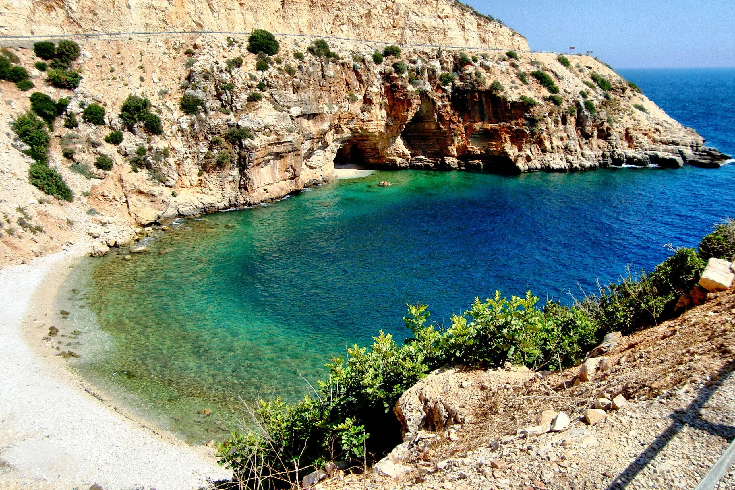
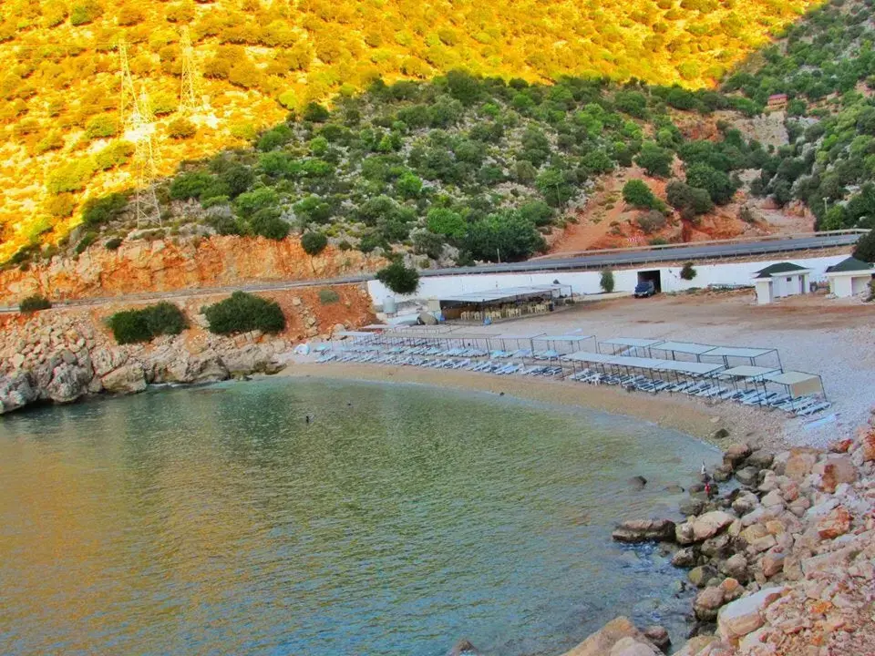
It has the natural beaches of the Mediterranean coast with fine sand and beautiful scenery.
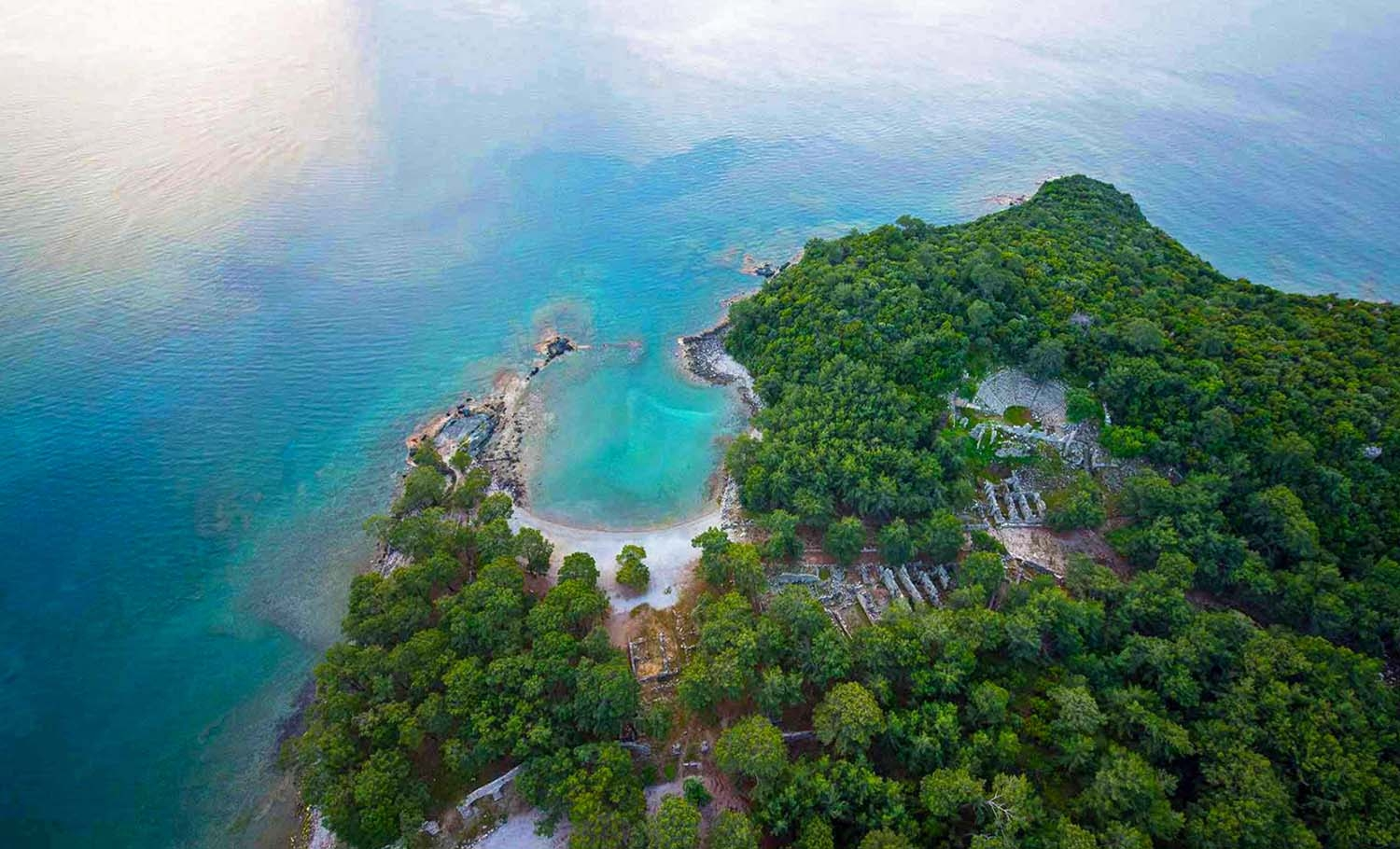
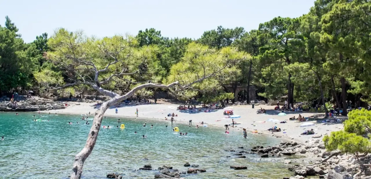
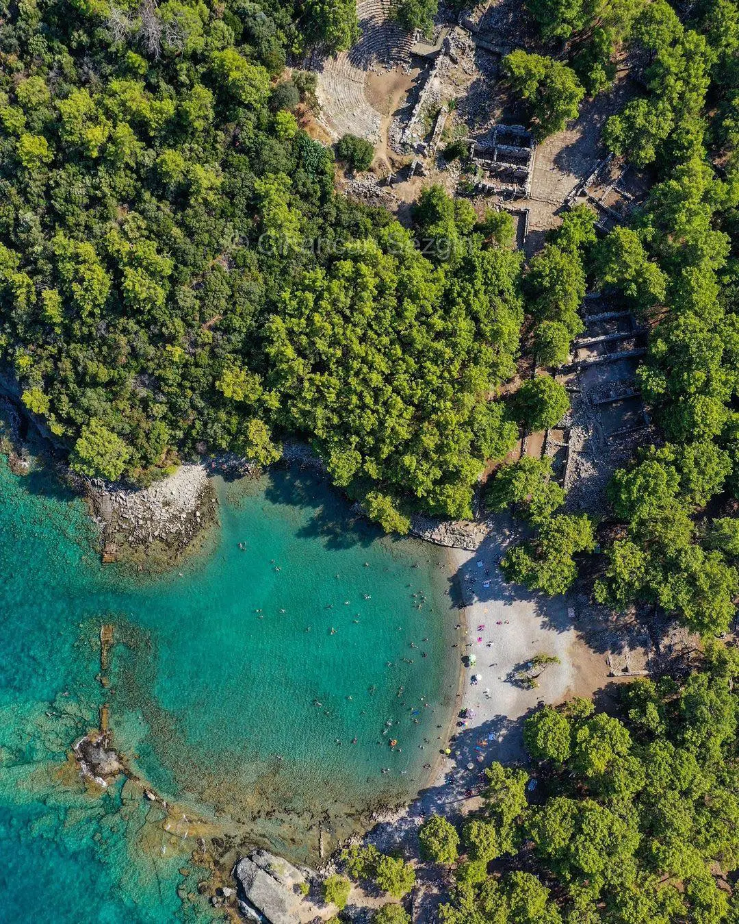
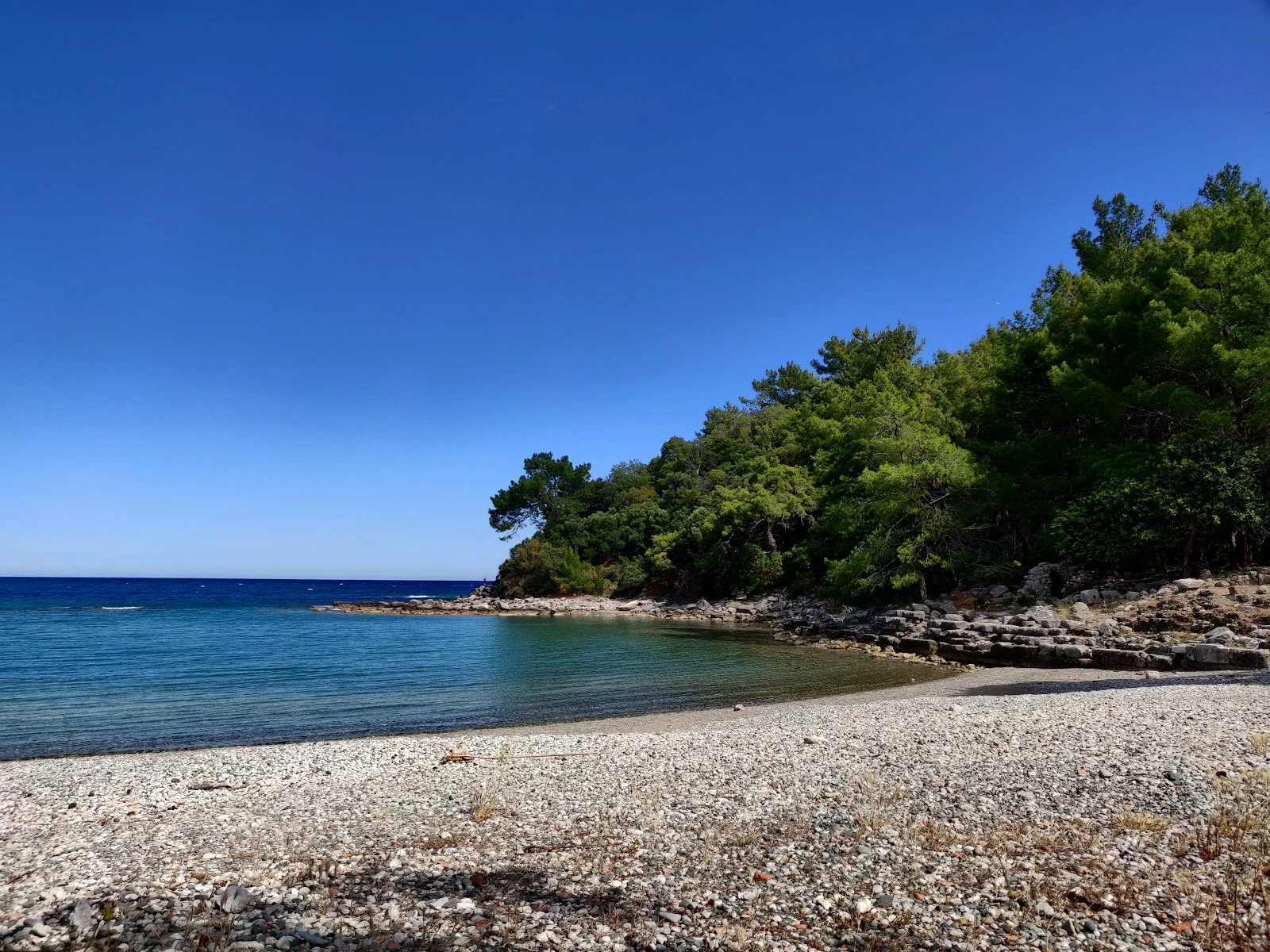
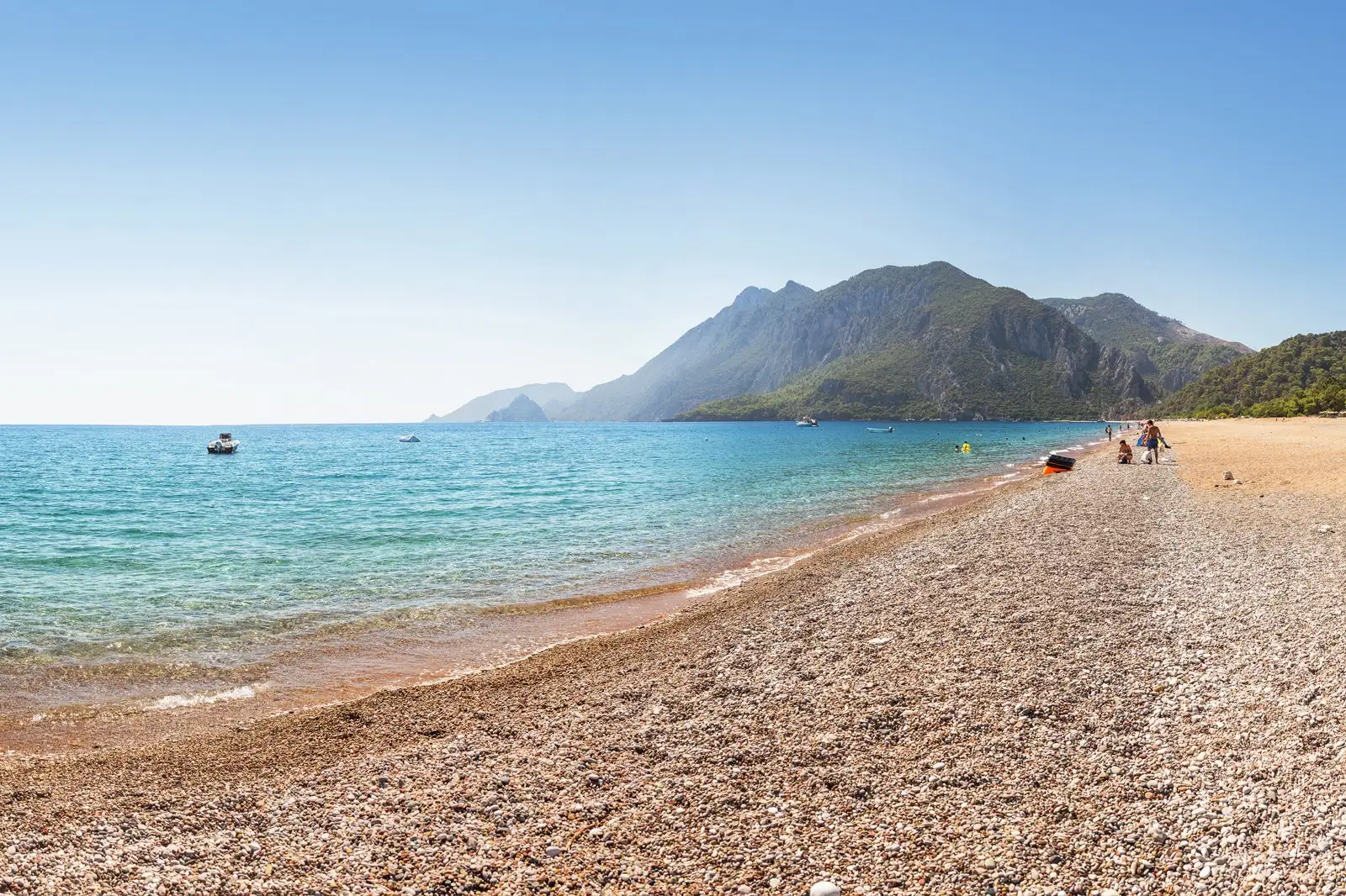
History, mountains, sea, forest, shallow bay and fine sand combine to create a beach of unparalleled beauty.

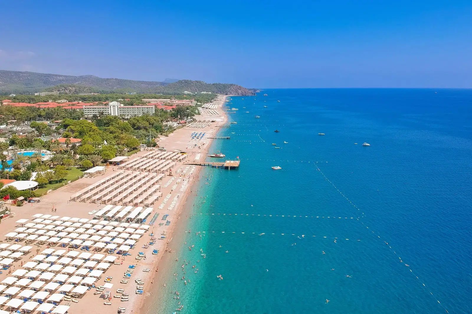
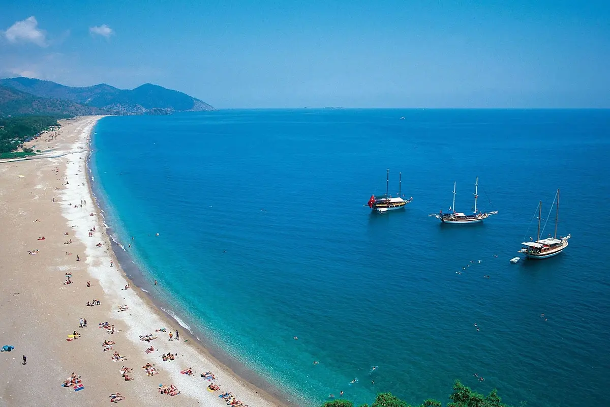
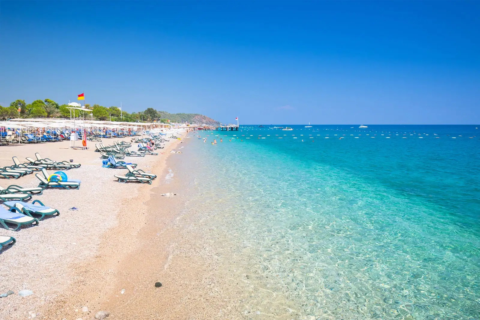
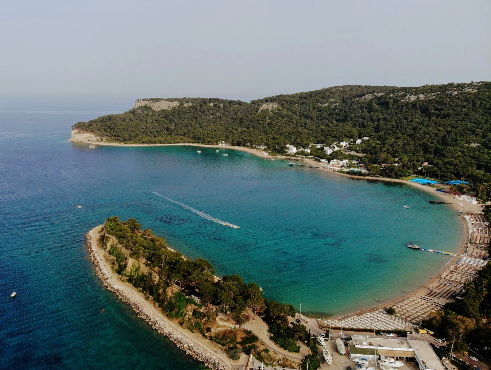
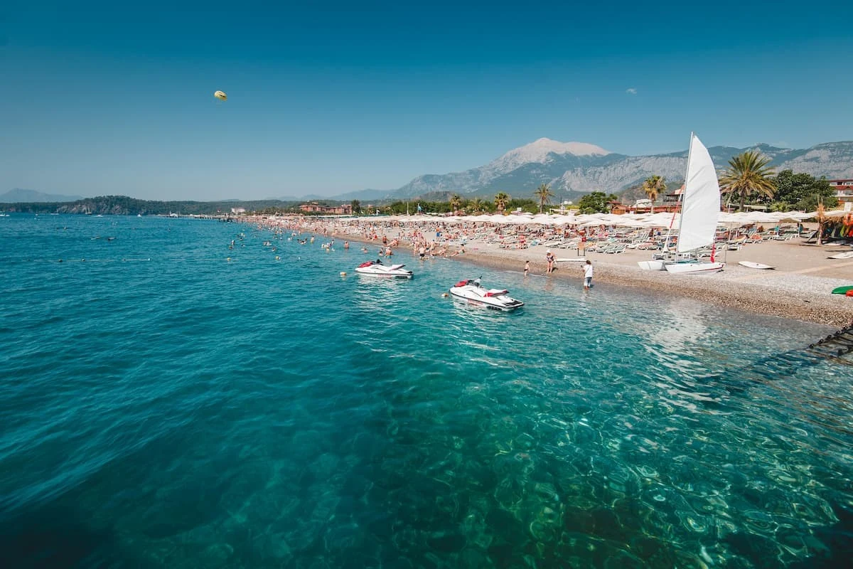
The section starting from Beldibi to Tekirova in Kemer is a natural beach consisting of fine sand. Municipality Beach in Kemer center, Ayışığı Beach next to the marina and Phaselis Beach are among the beaches preferred by swimmers.
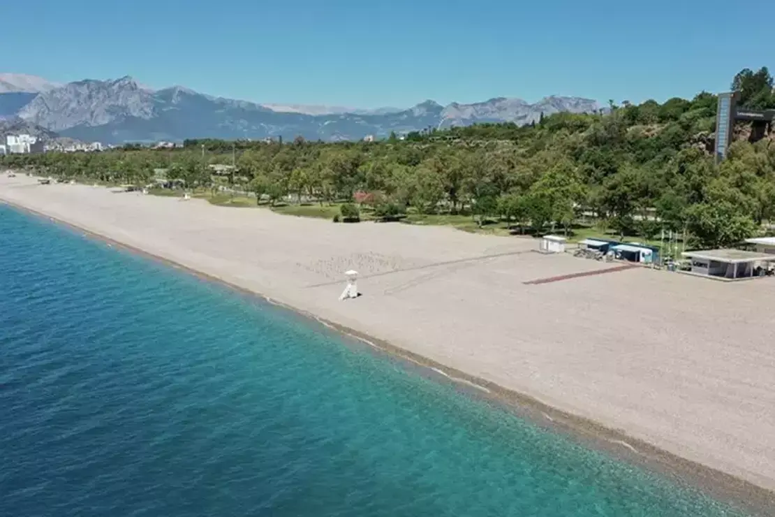
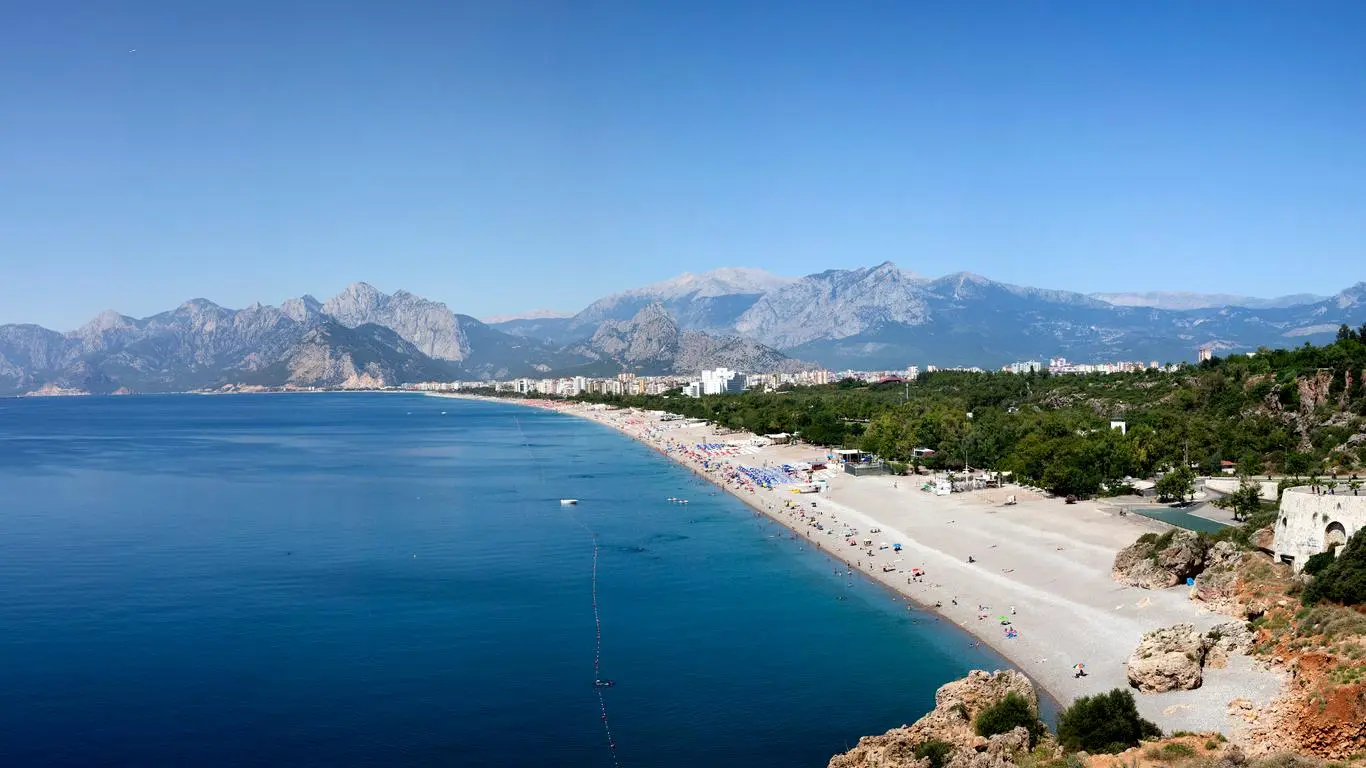
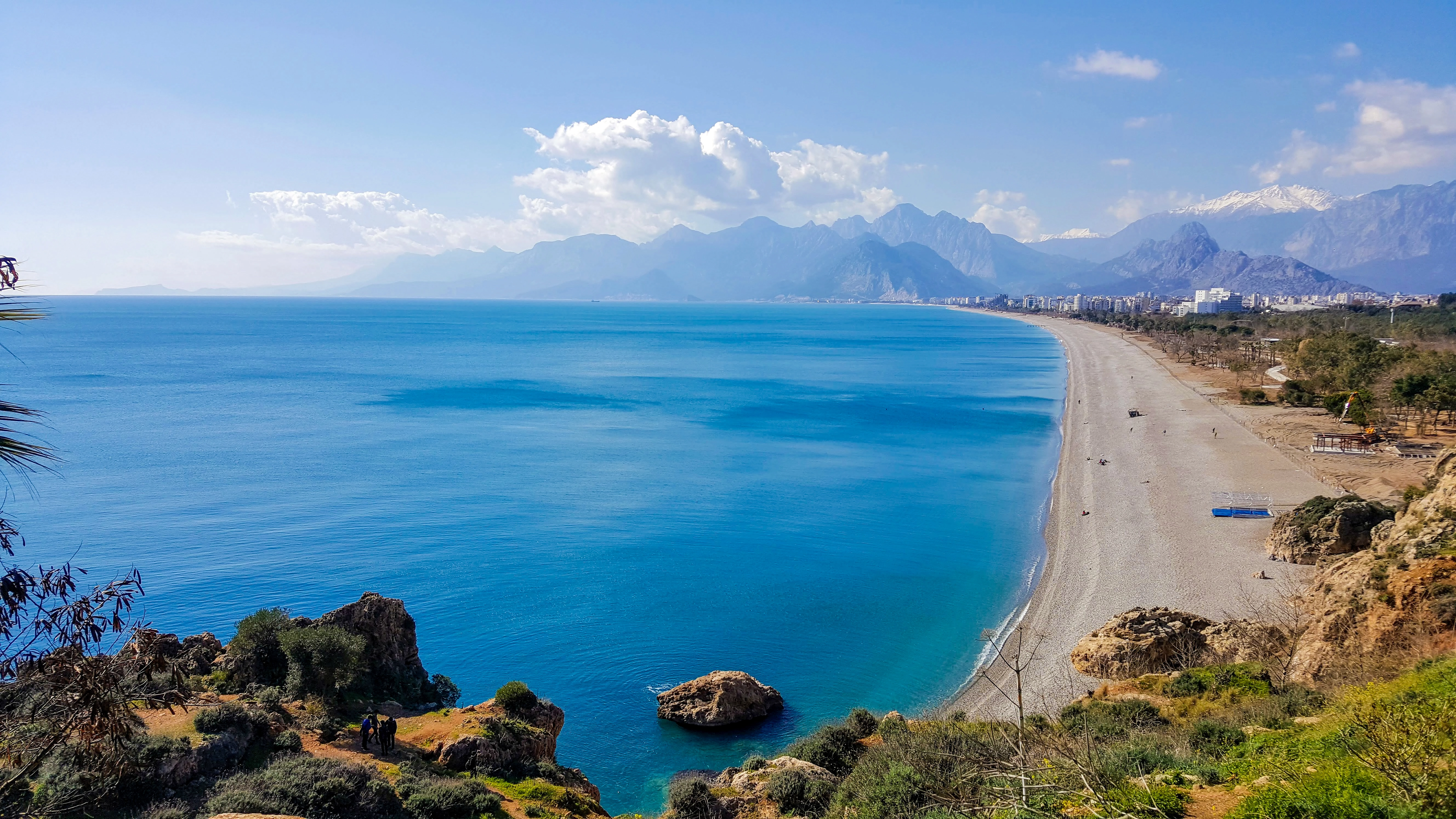
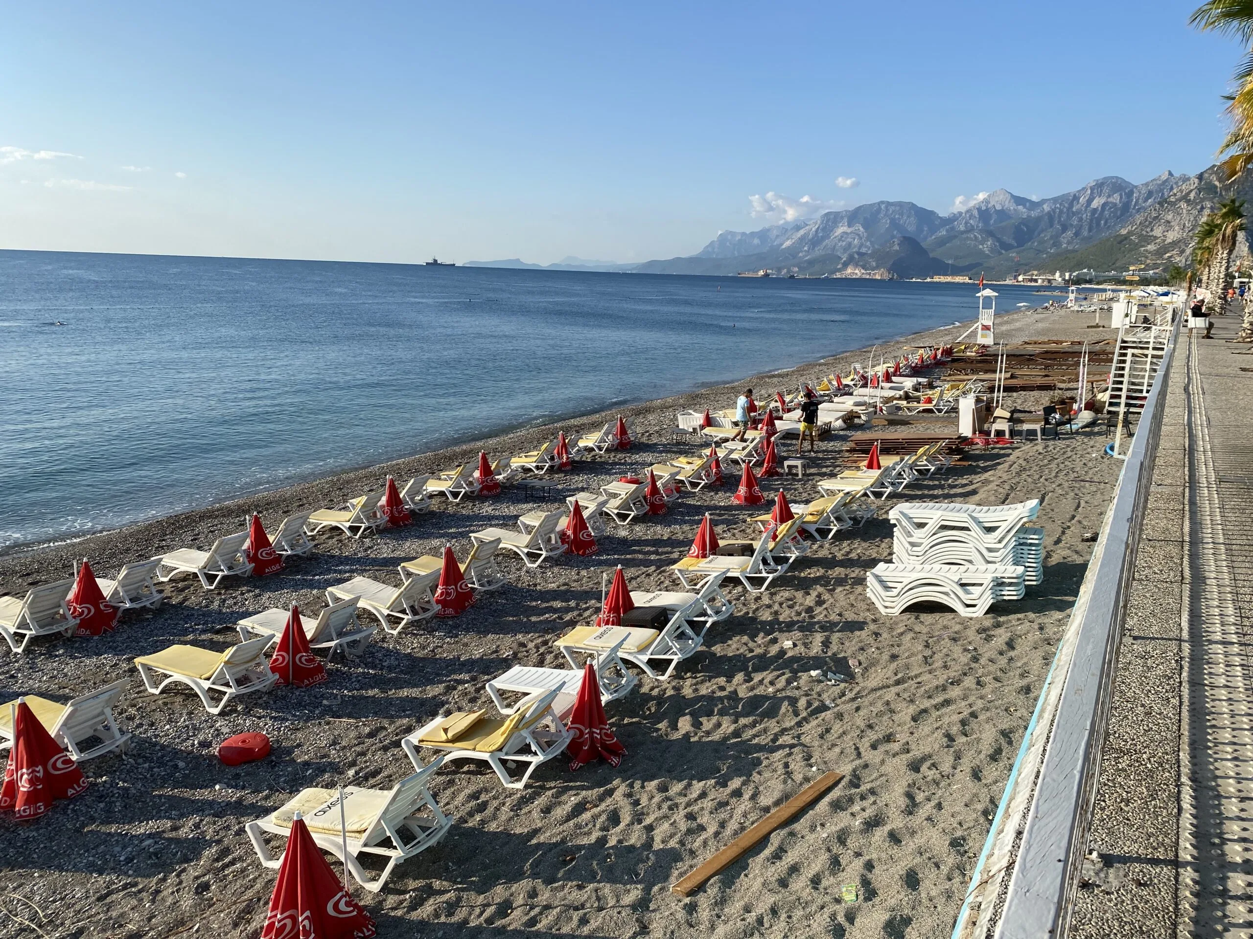
3 km. west of Antalya, about 1.5 km. long sand and gravel beach. There are public beach facilities built and operated by the municipality, as well as casinos, hostels and hotels that can meet the needs of eating and drinking,
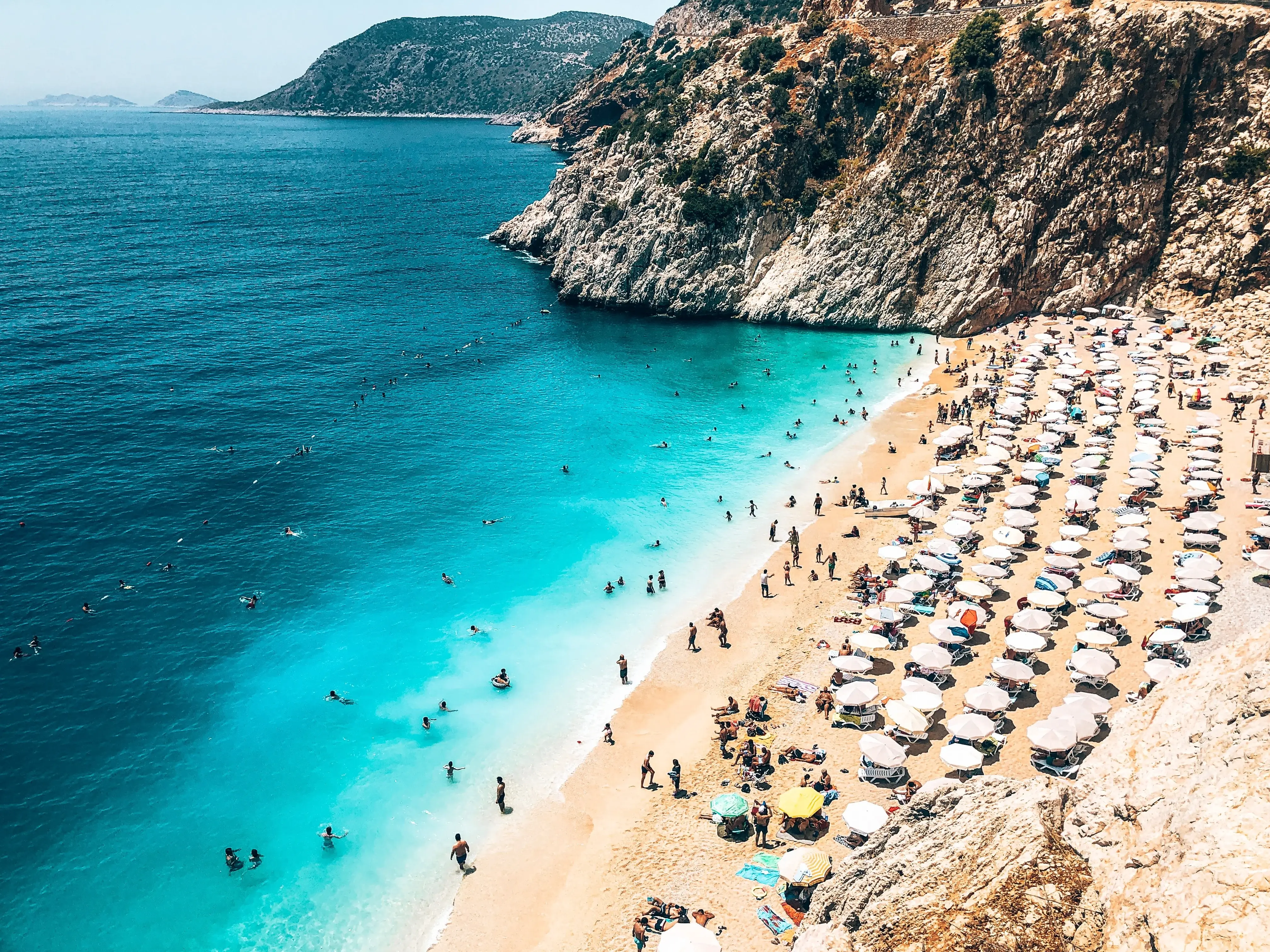
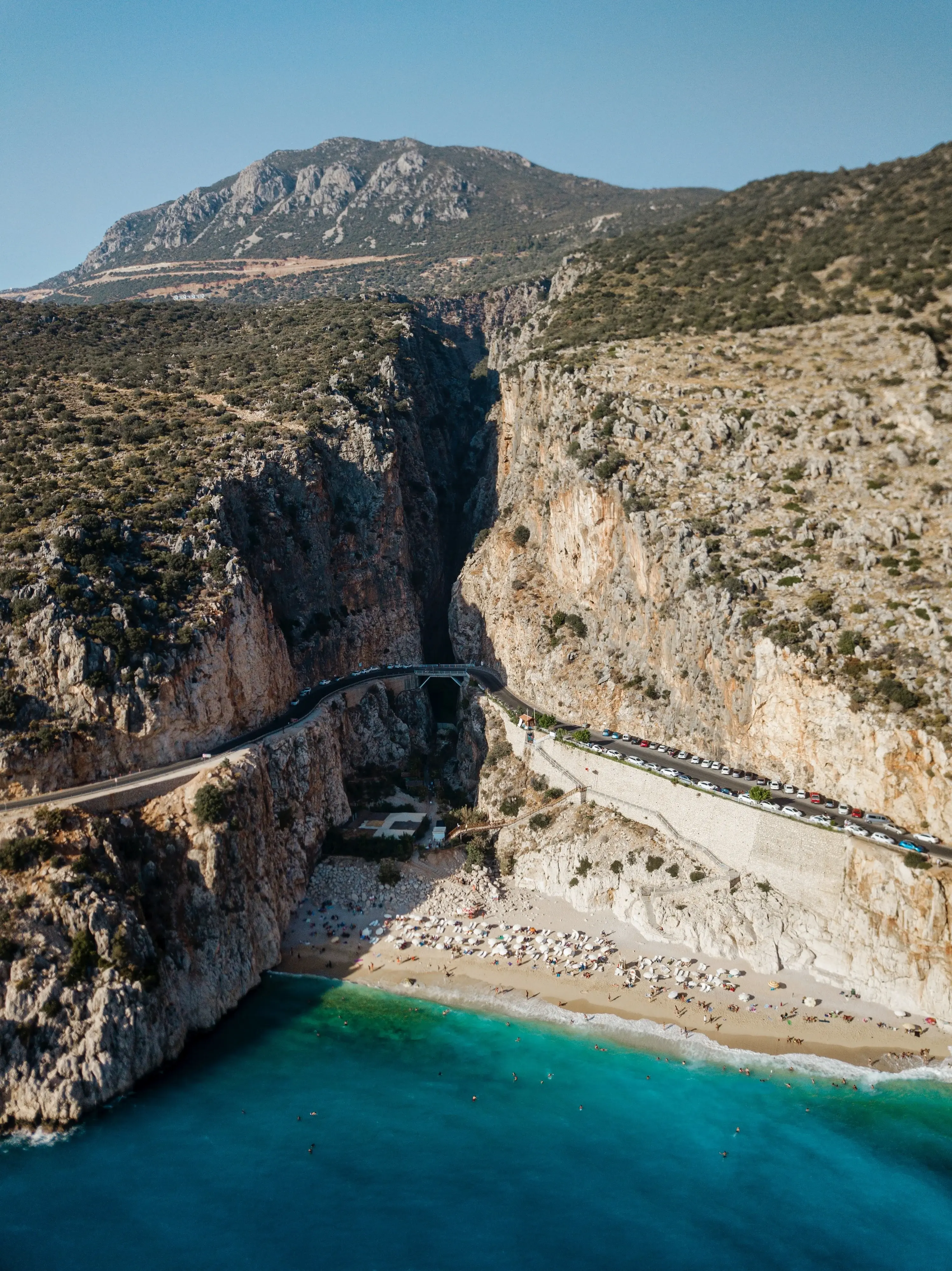
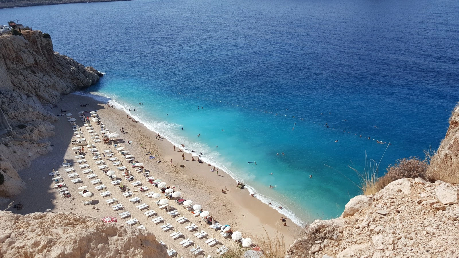
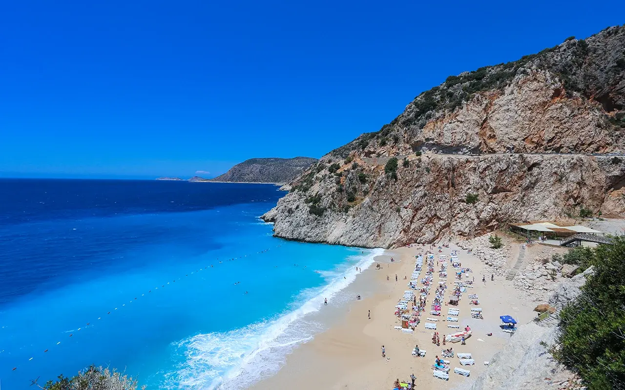
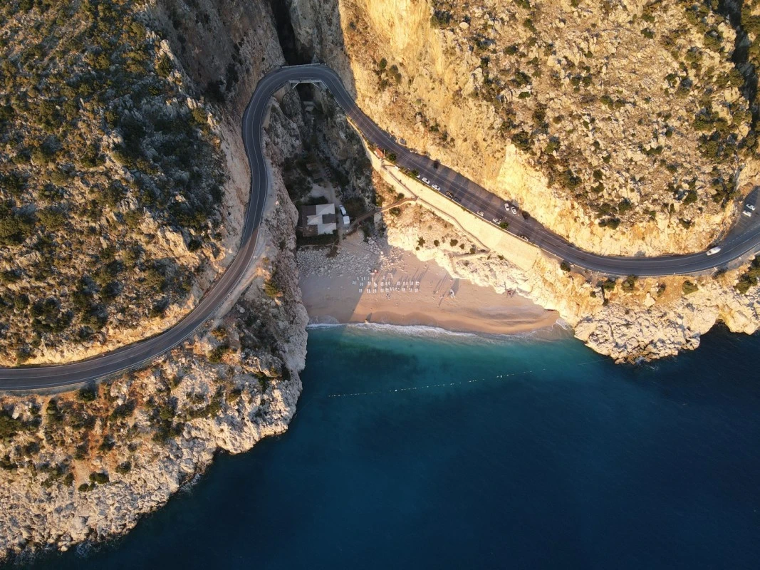
Kaputas Beach is a canyon mouth beach on the coastal road between Kas and Kalkan. The water is generally cool and turquoise in color as a result of the water flowing underground and filtering through the sand on the seashore. The beach is reached by descending 187 steps from the highway.

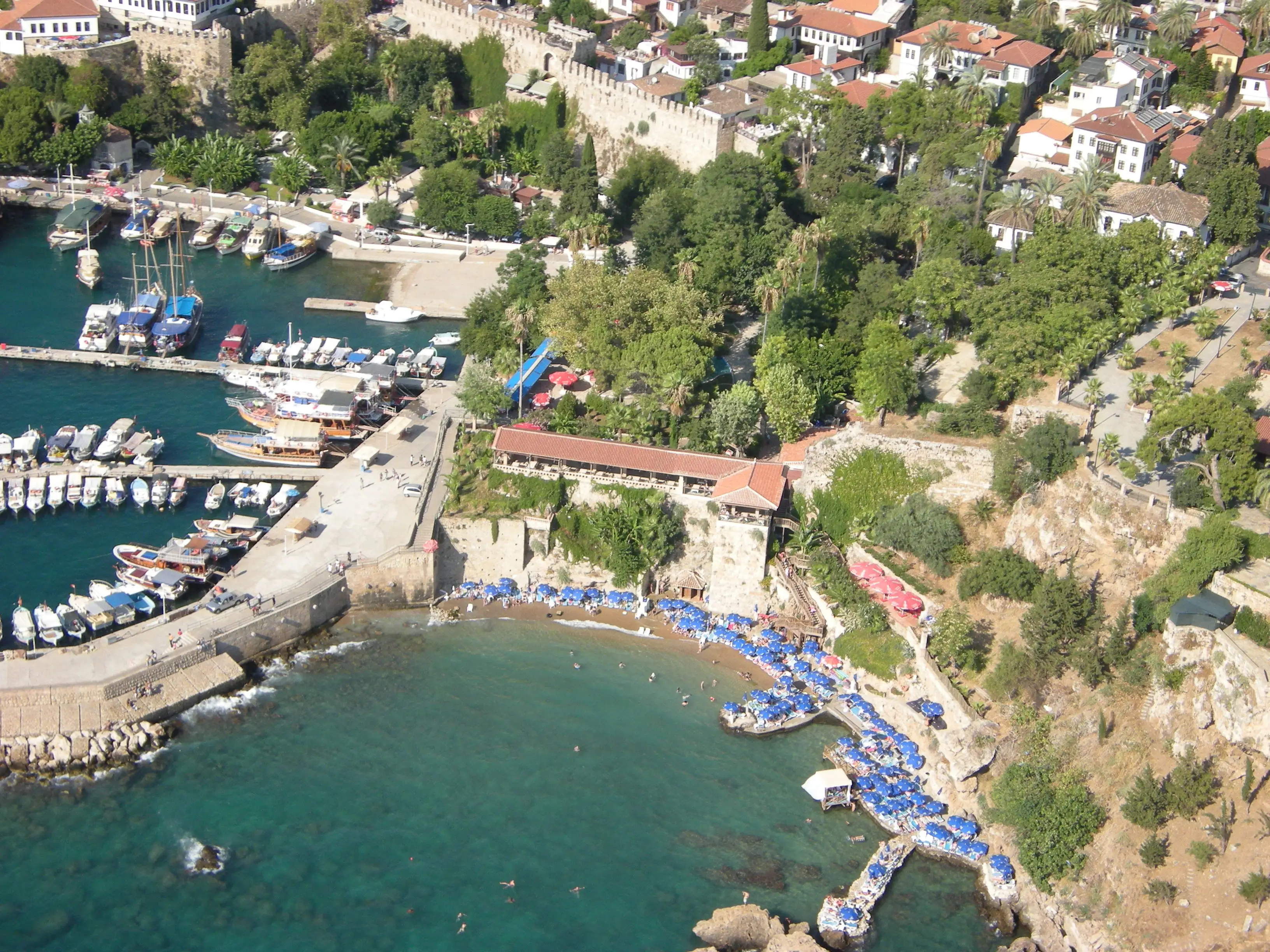
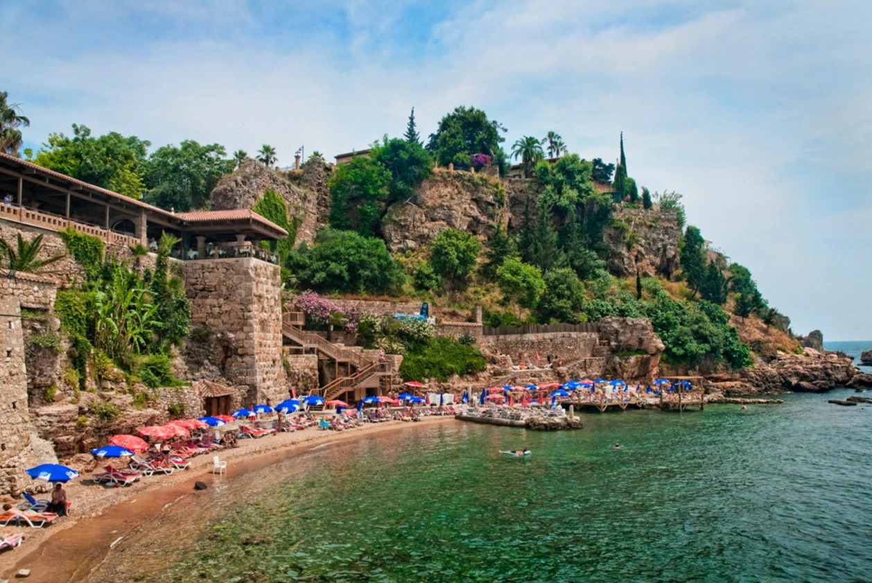
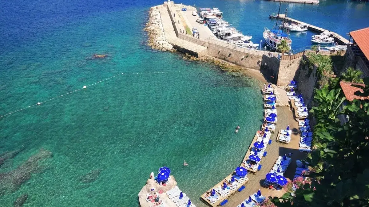
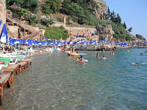

The beach, which used to be the promenade of Sultan Reşat, is a natural beach covered with forests on the Kemer road, about 15 km. west of Antalya.
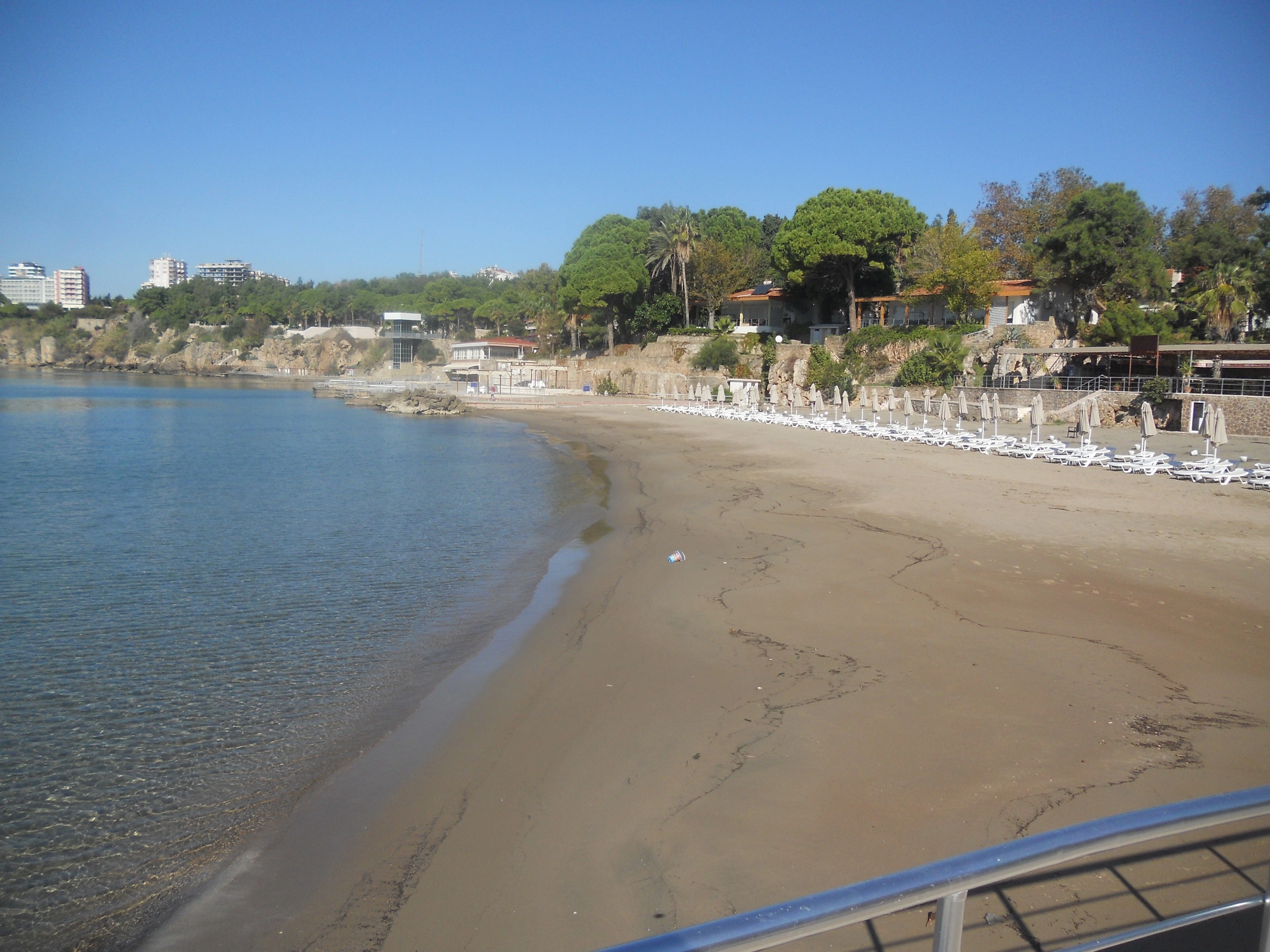

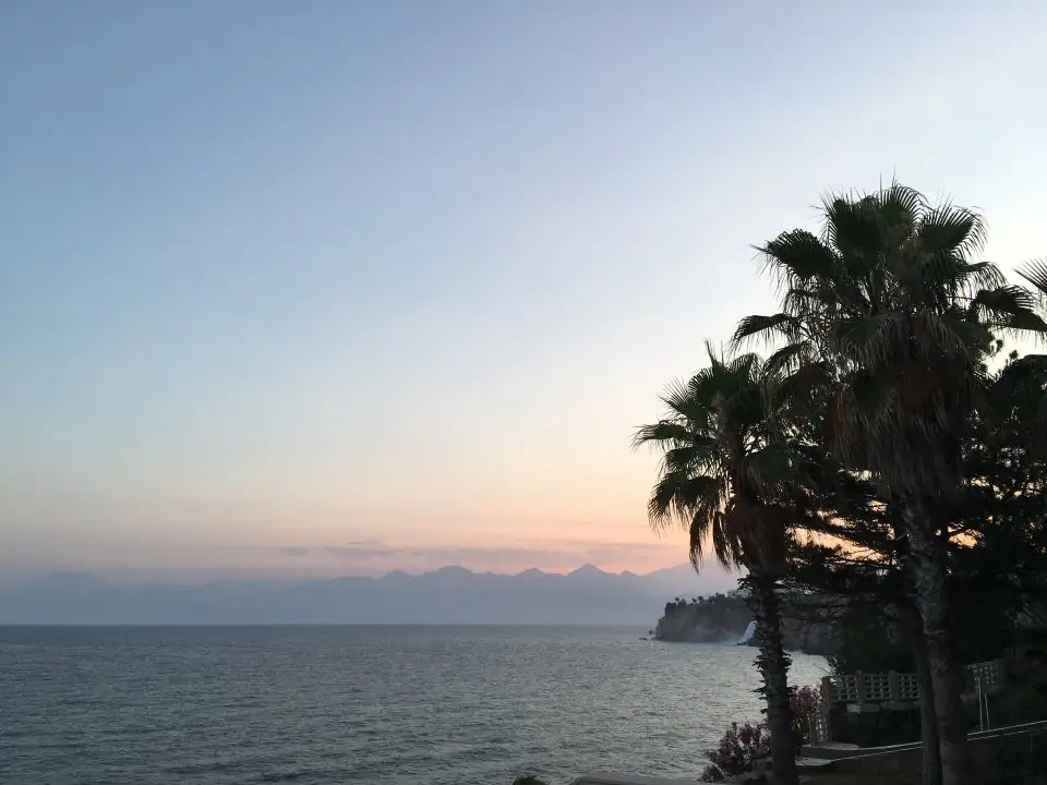
It is located to the west of Lara Beach where the Duden Waterfall flows into the sea. Used as a military rest camp, the sand of the beach is very fine and the sea is shallow.
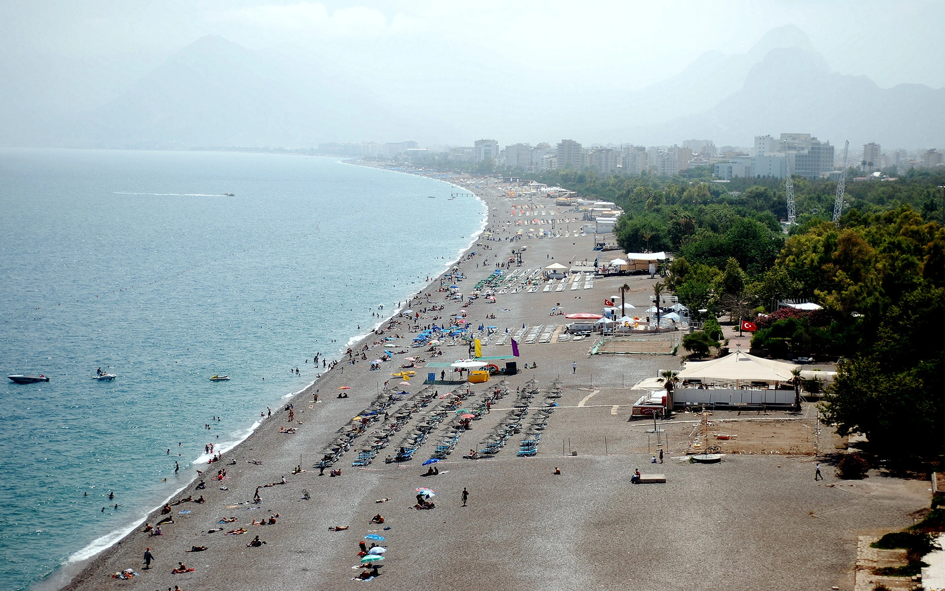
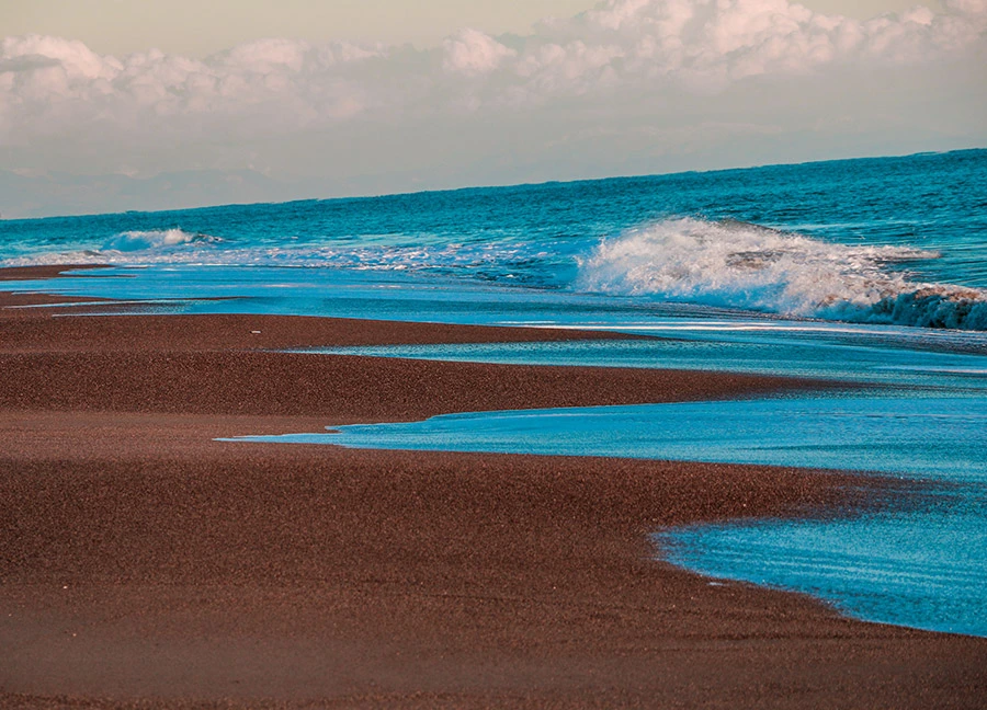
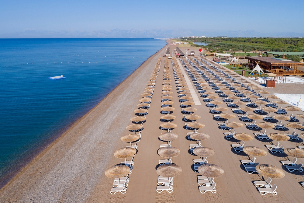
It is 12 km. east of Antalya. The sand is very fine and covered with pine forests. There are public beaches, casinos to meet the need for food and drink and changing cabins.
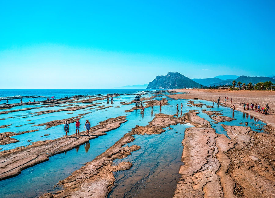
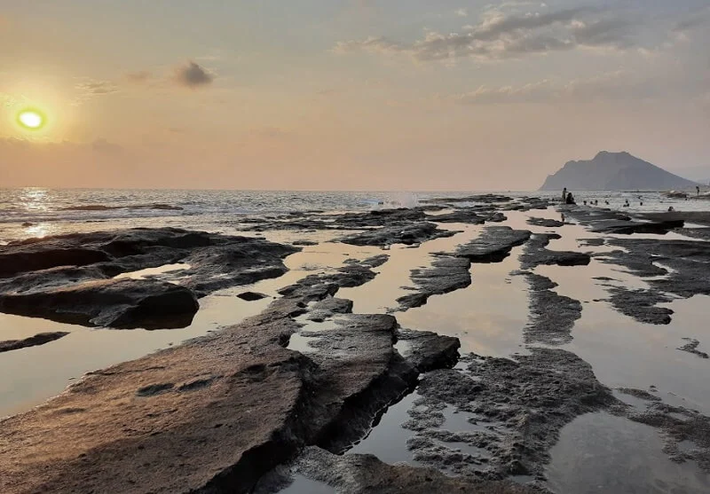
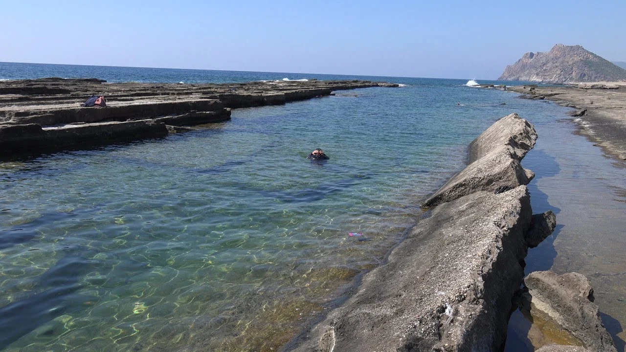
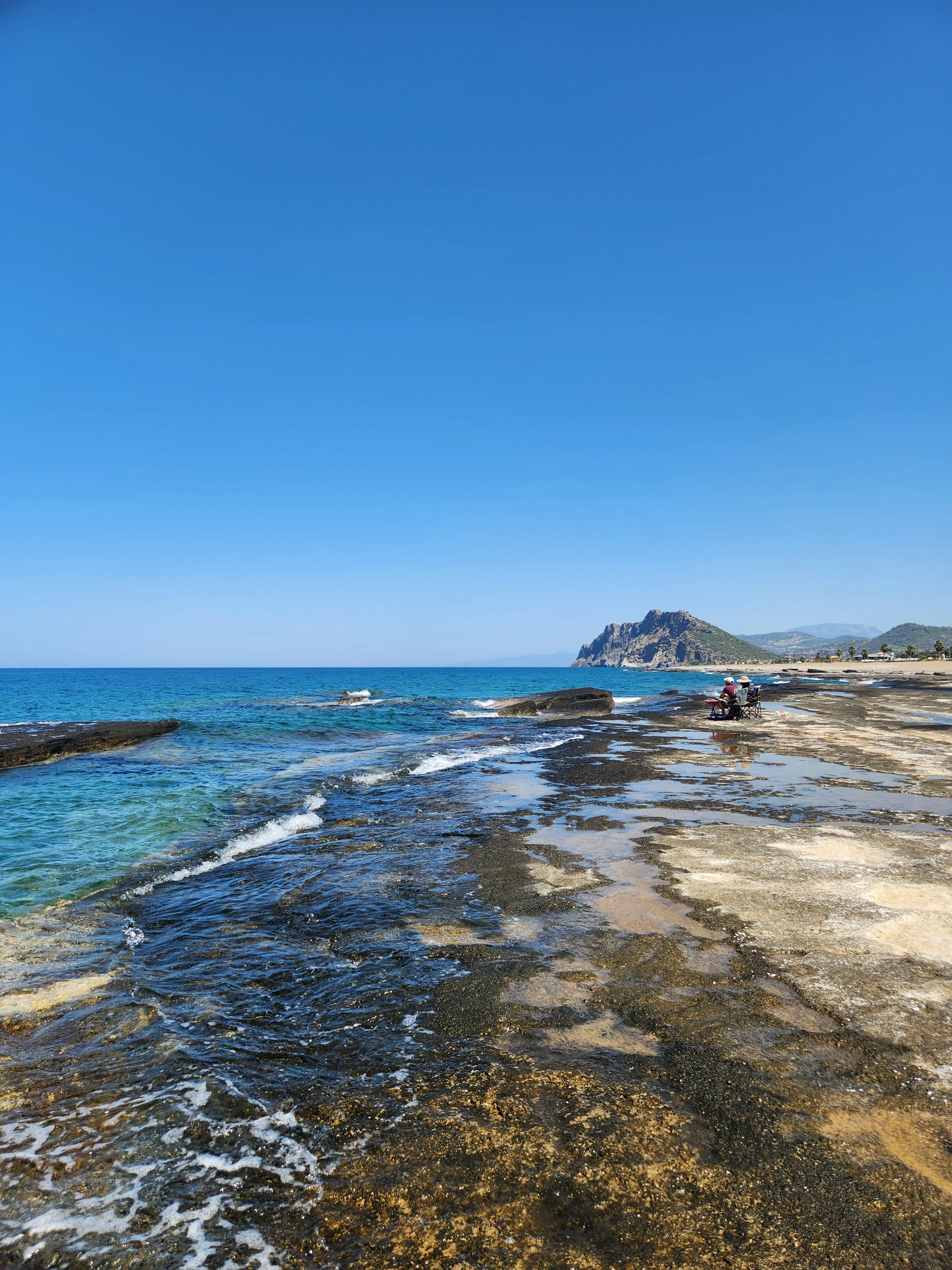
The sea on this beach located in the Koru District of Gazipaşa; It has the distinction of being the only sea that filters itself. It has three natural pools, two of which are ideal especially for new swimmers. 3 km from Gazipaşa. There is Iskele Beach and Kahyalar Beach in the town of Kahyalar.
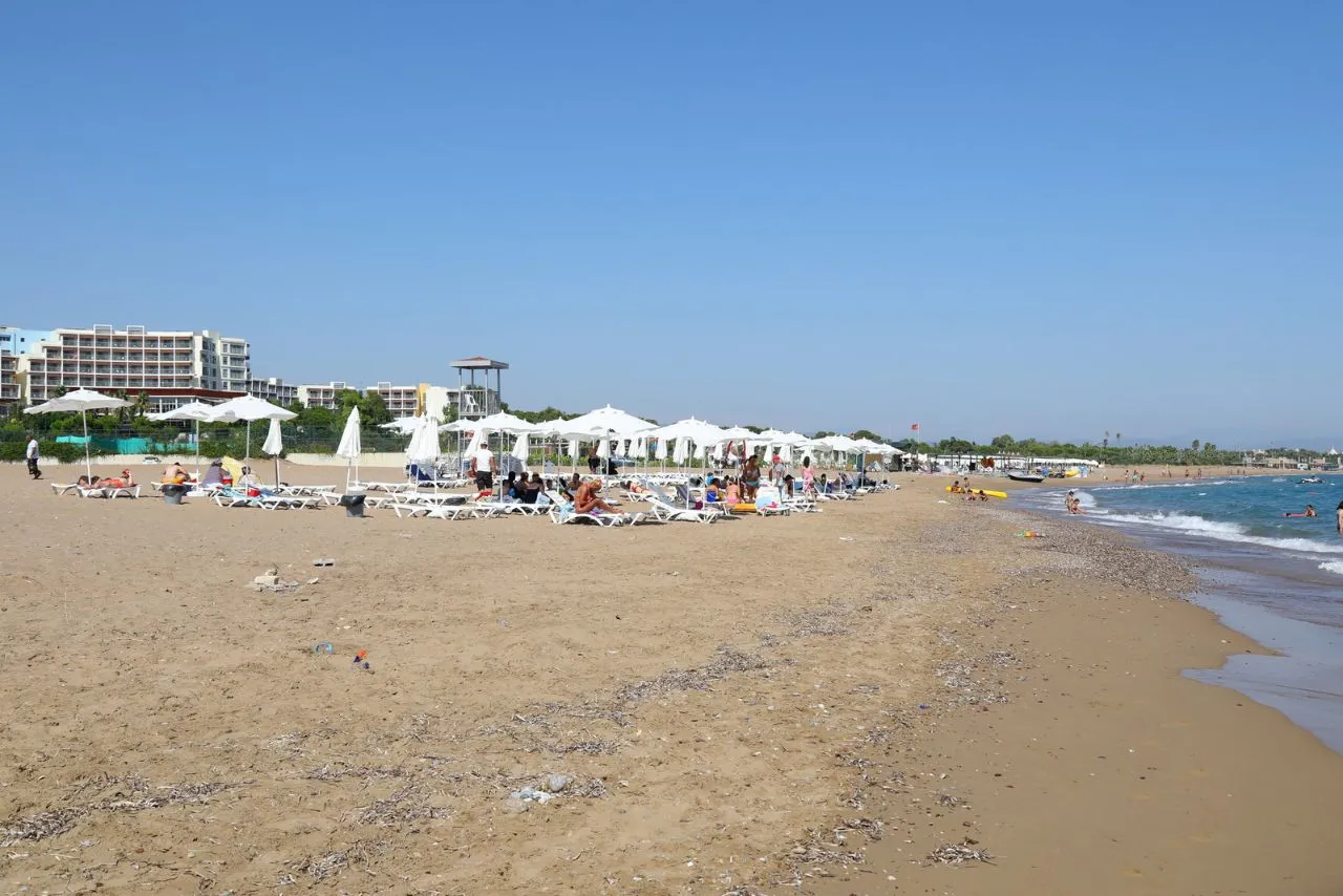
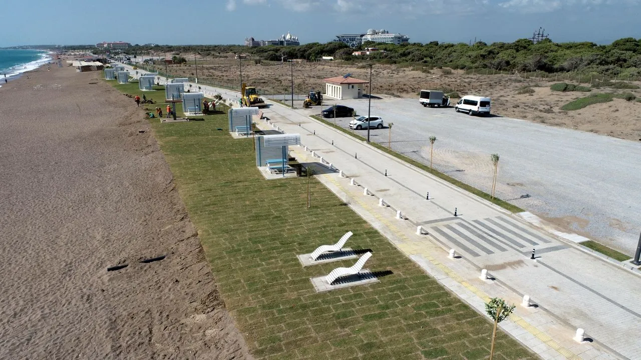
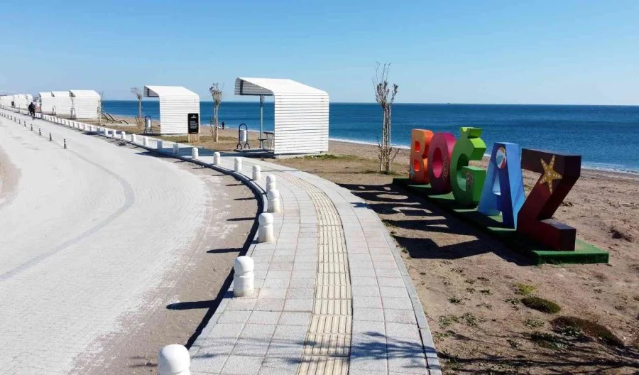
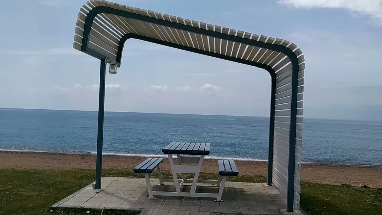
It is one of the most beautiful beaches in Antalya. On the way to Manavgat, it is about 6 km from the road going south. It is a cute, natural beach and coast that can be reached by going there.
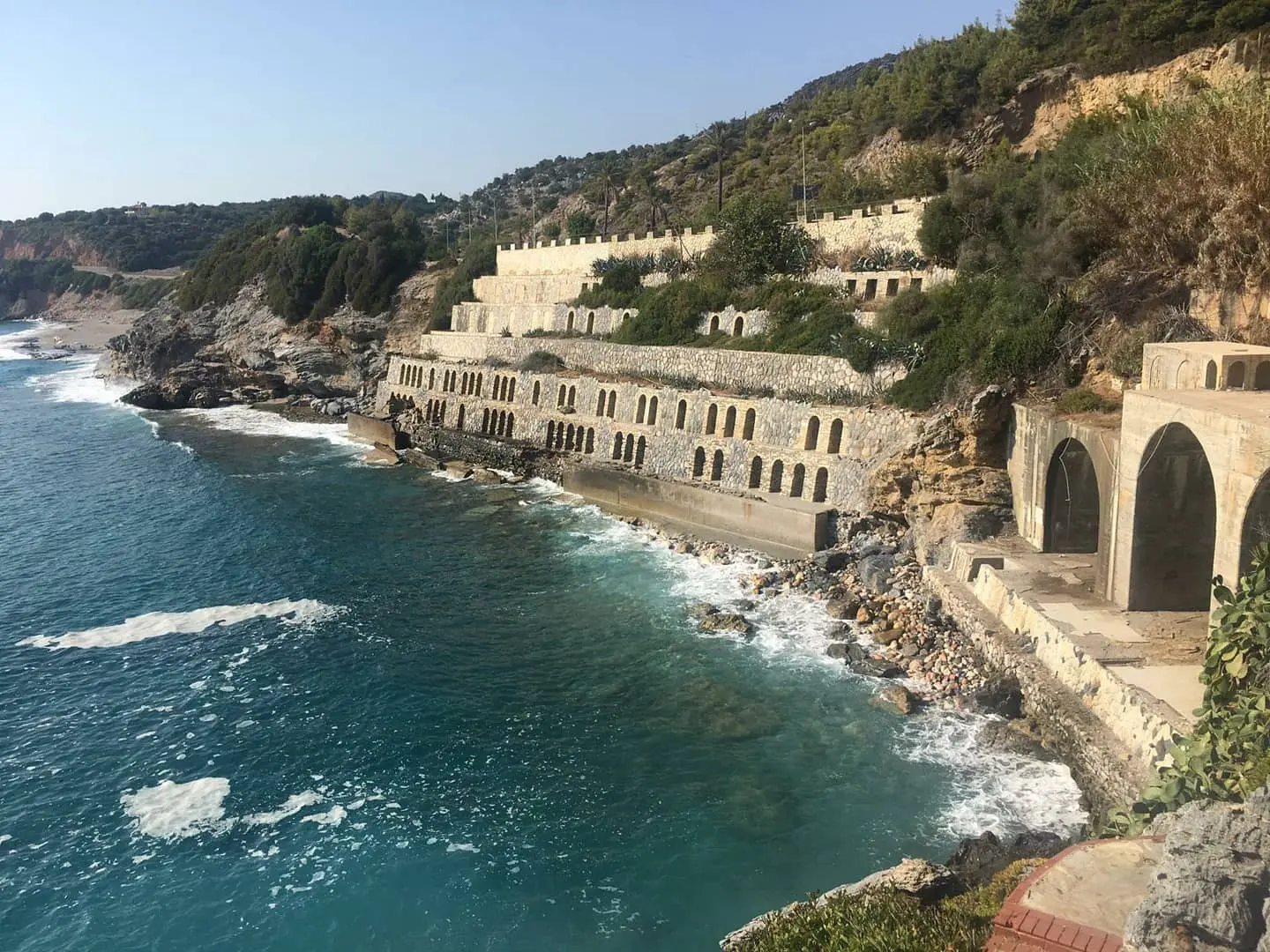
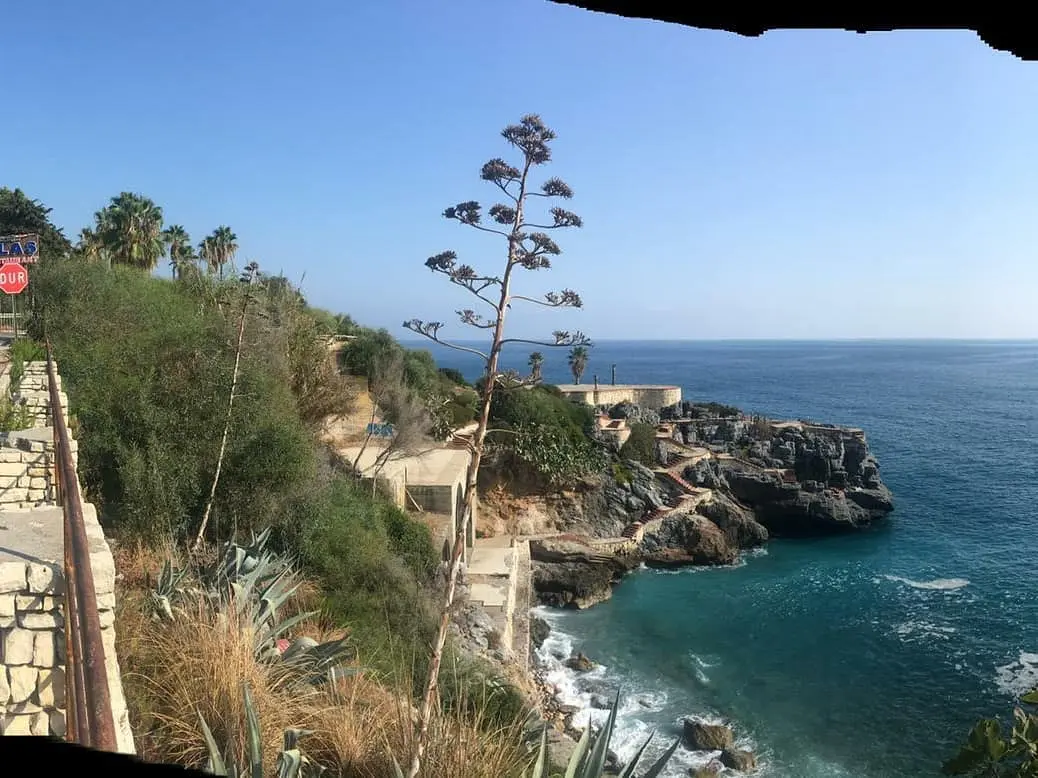
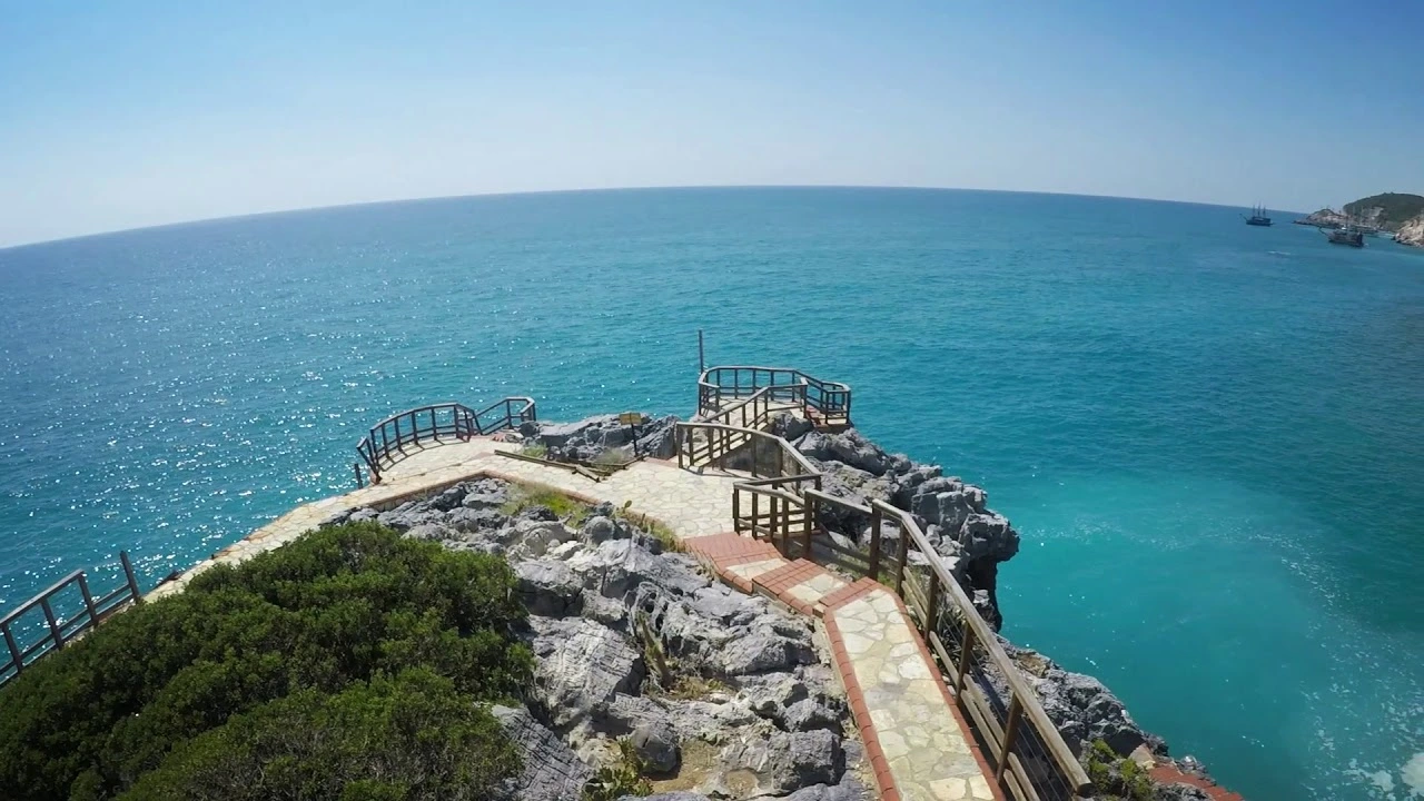
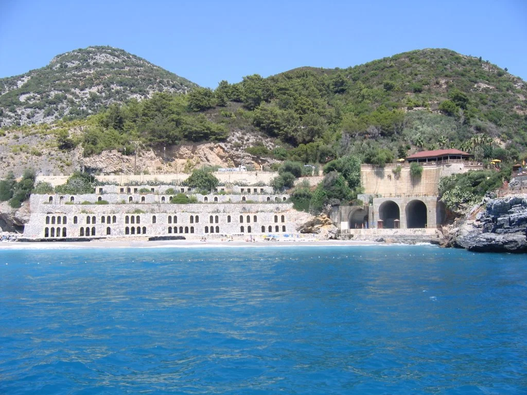
It is 6 km westward from Alanya center on the Antalya-Mersin highway. "Highway Ulaş Recreation Park" on Ulaş Beach was designed as a resting place for local and foreign tourists who follow the coastal road and was built for this purpose.
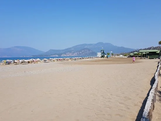
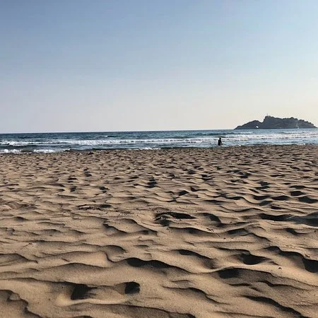
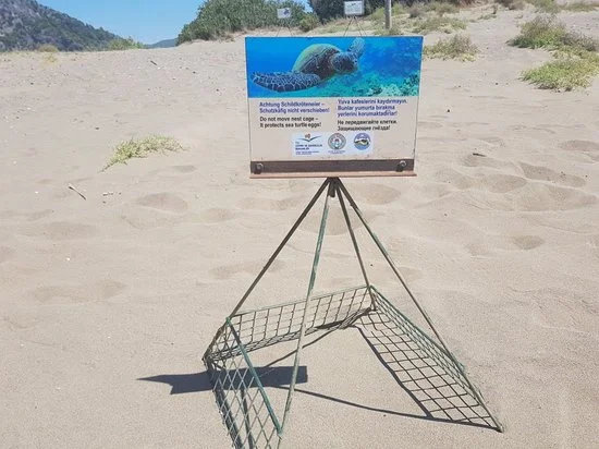
It is in the east of Alanya, on the Antalya-Mersin highway. It consists of Keykubat Beach and its 14 km long coastal extension. There are beach facilities along the coast.
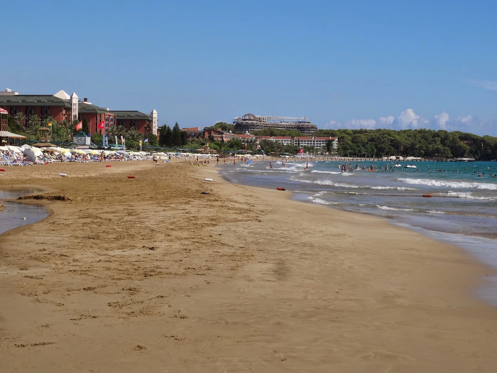
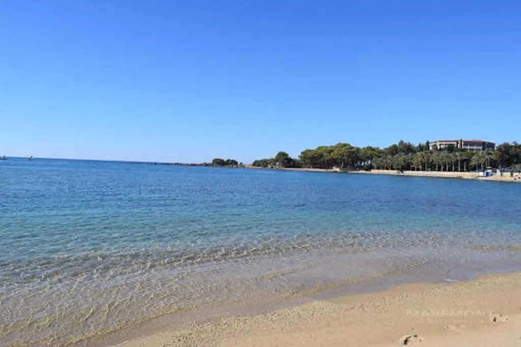

Approximately 20 km from Alanya. It is a beautiful beach with pine trees in the west and natural, fine sand. There is space for tent camping.

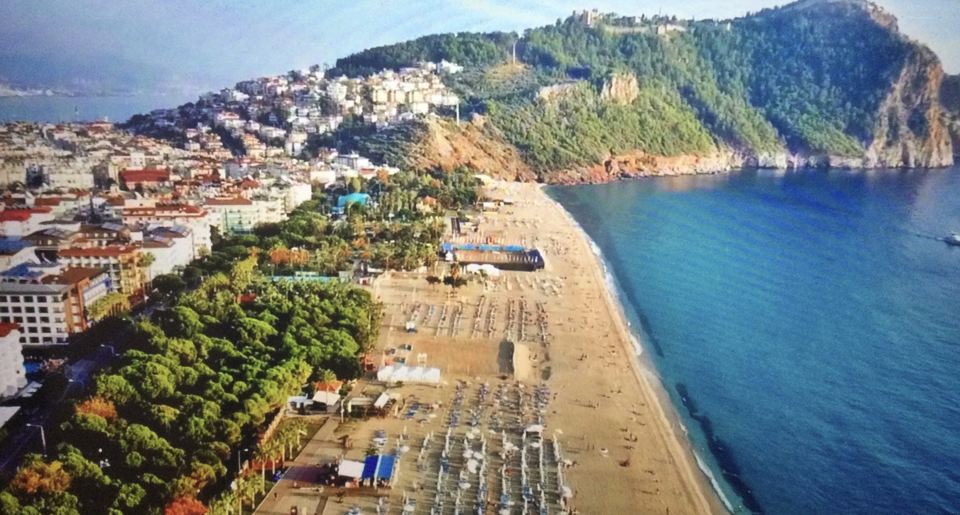
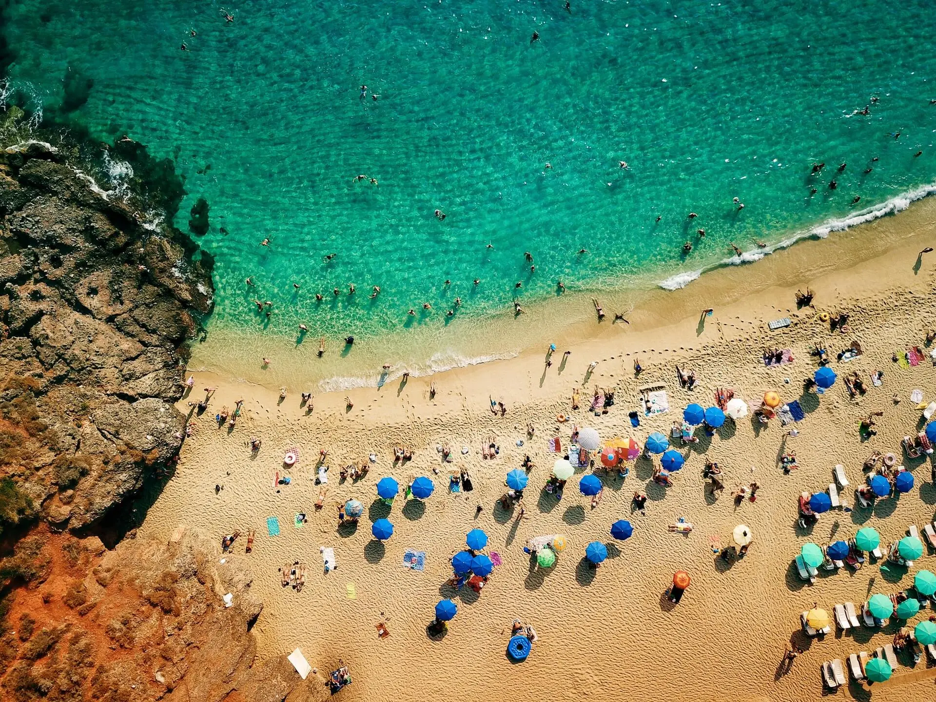
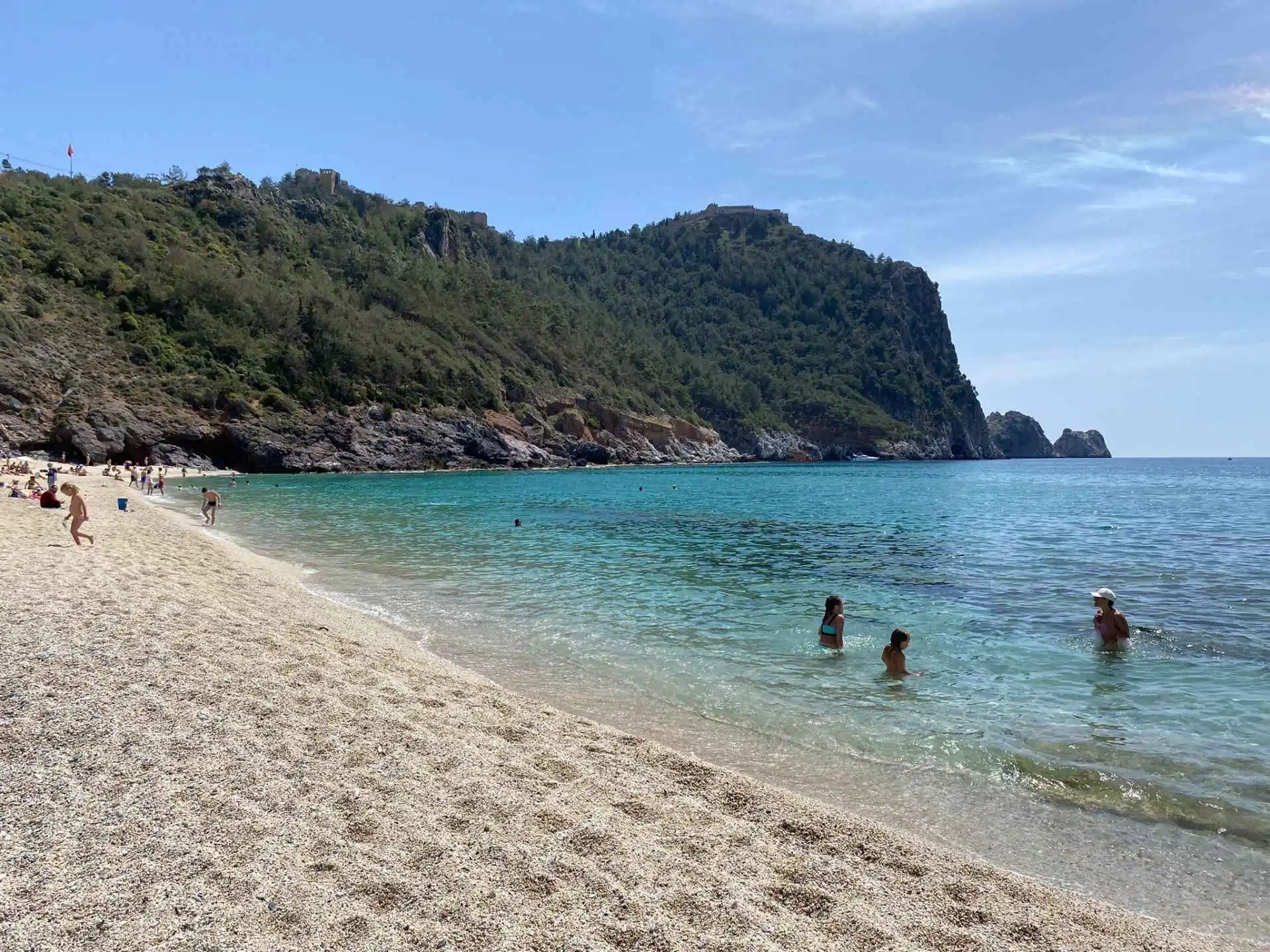
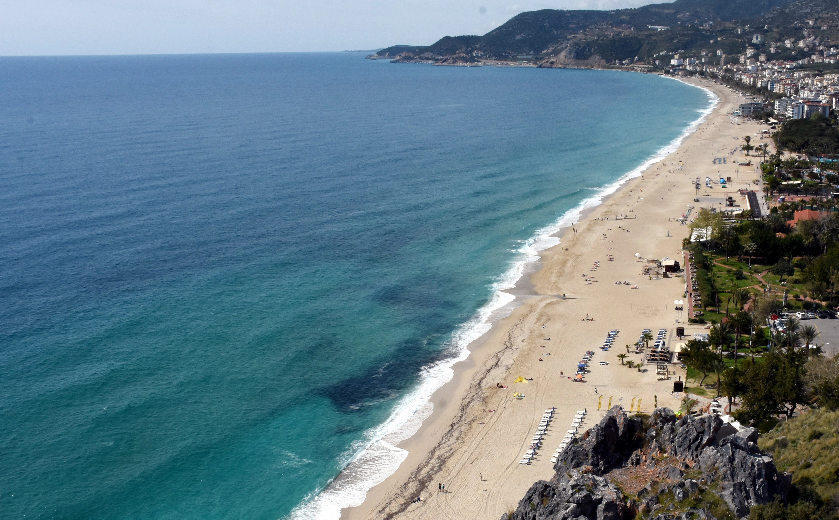
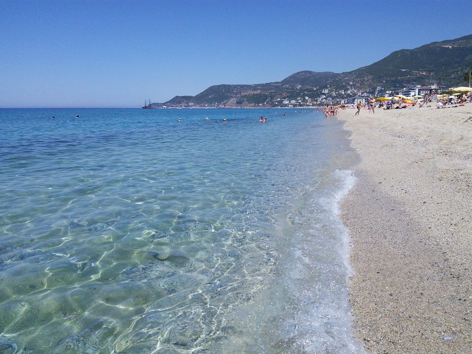
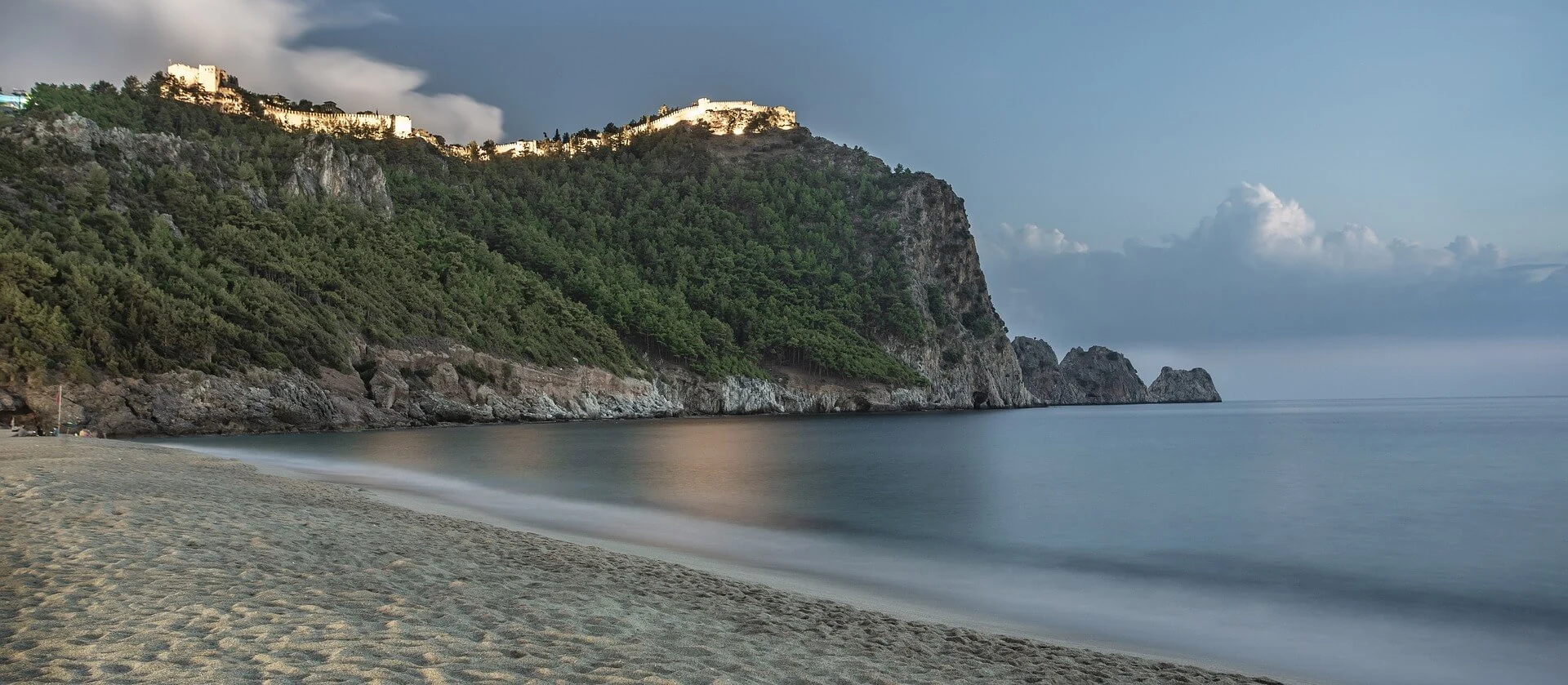
The beach with a length of 2 km. is located in the west of Alanya. It is a wide beach with fine sand. A feature of this beach, where even Cleopatra is said to have bathed, is that the sea is shallow.
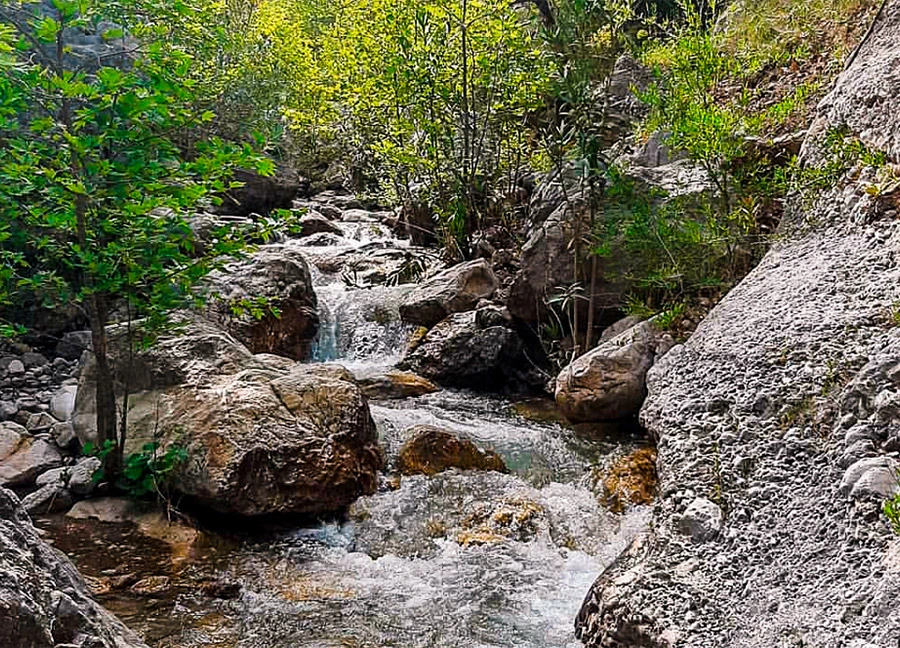
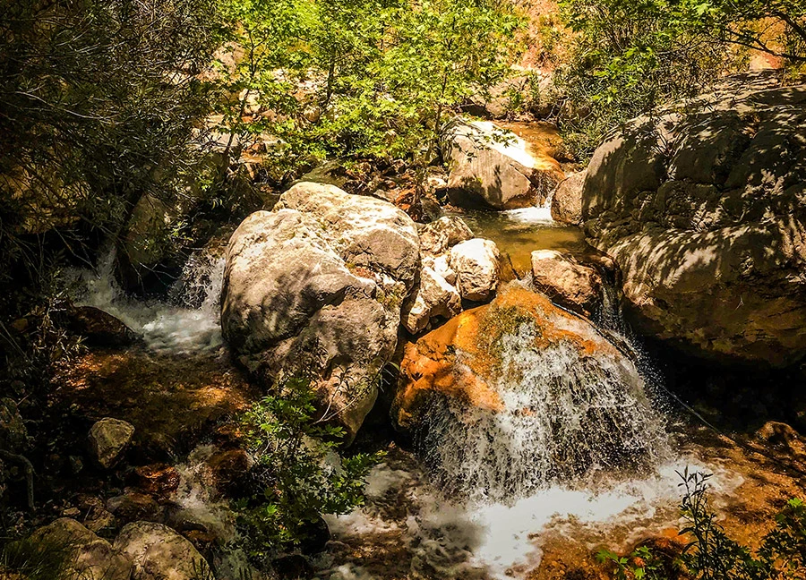
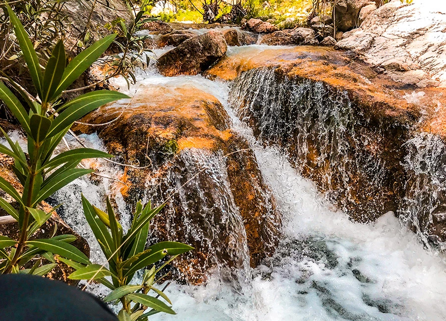
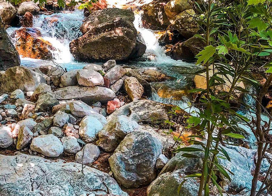
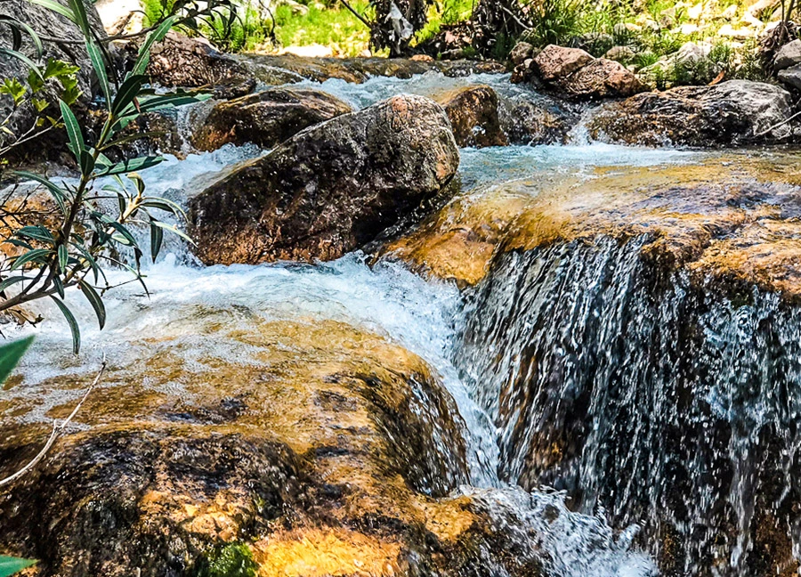
Çitdibi Team Waterfalls, one of the untouched beauties of Antalya, is located in Çitdibi Village within the borders of Yarbaşçandır Neighborhood of Konyaaltı District.
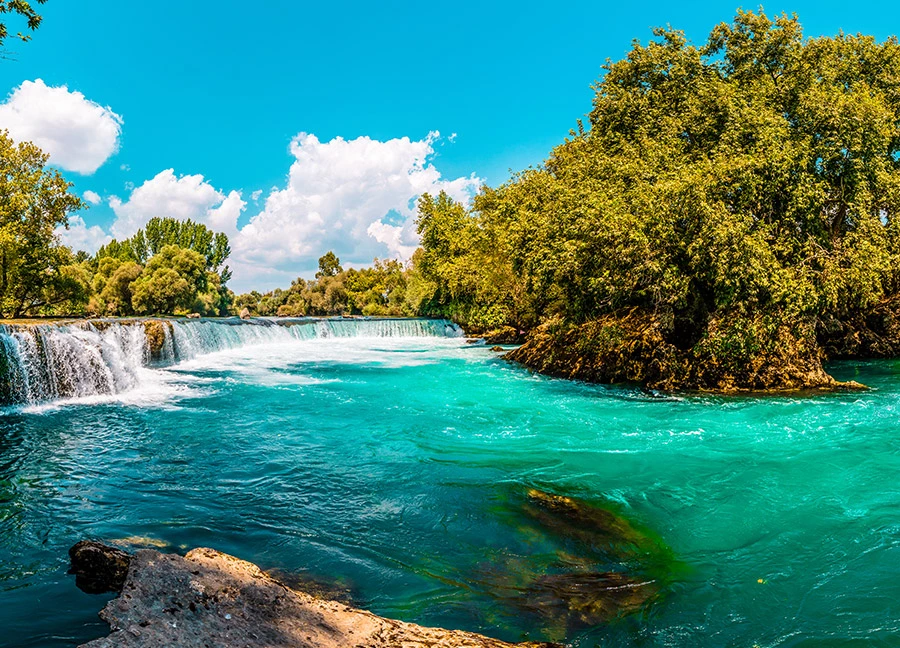
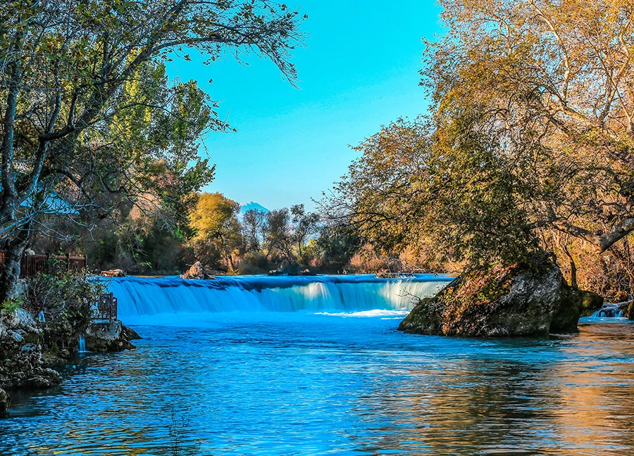
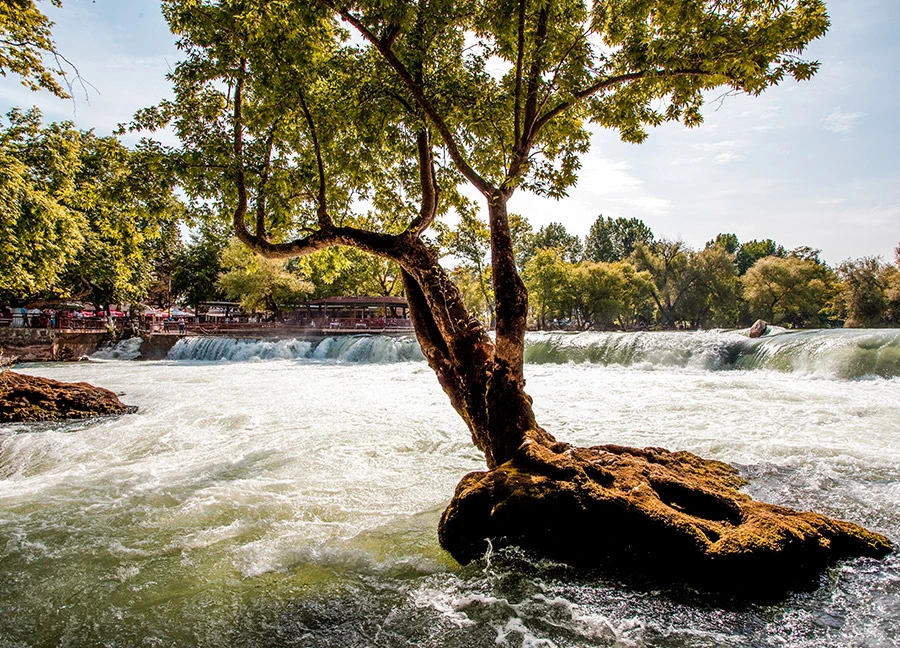
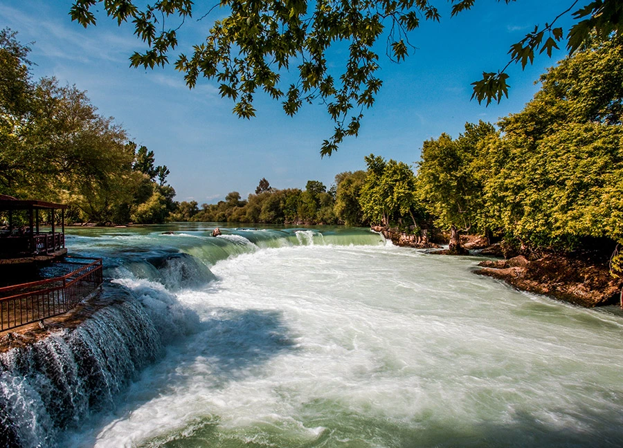
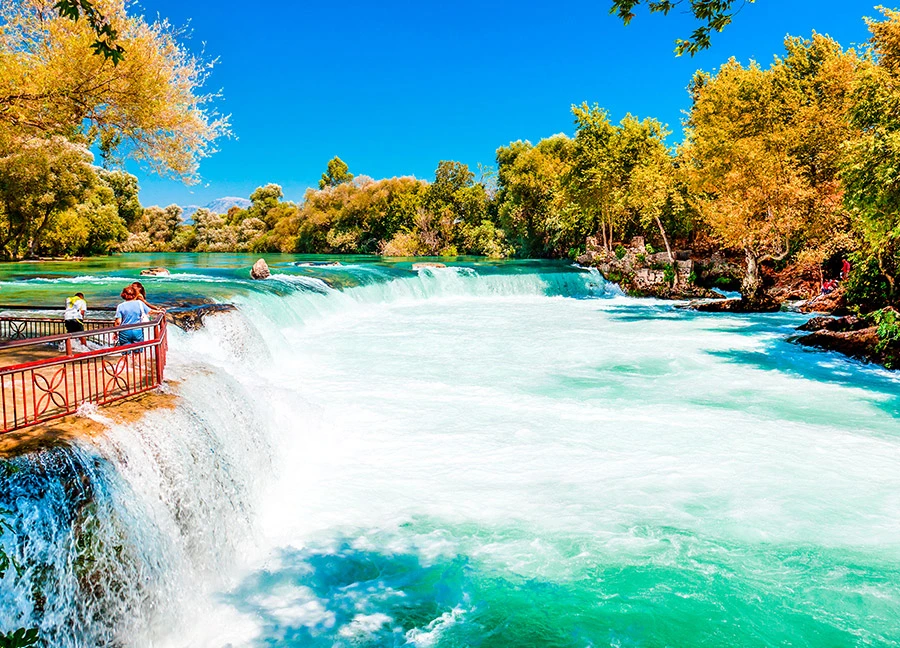
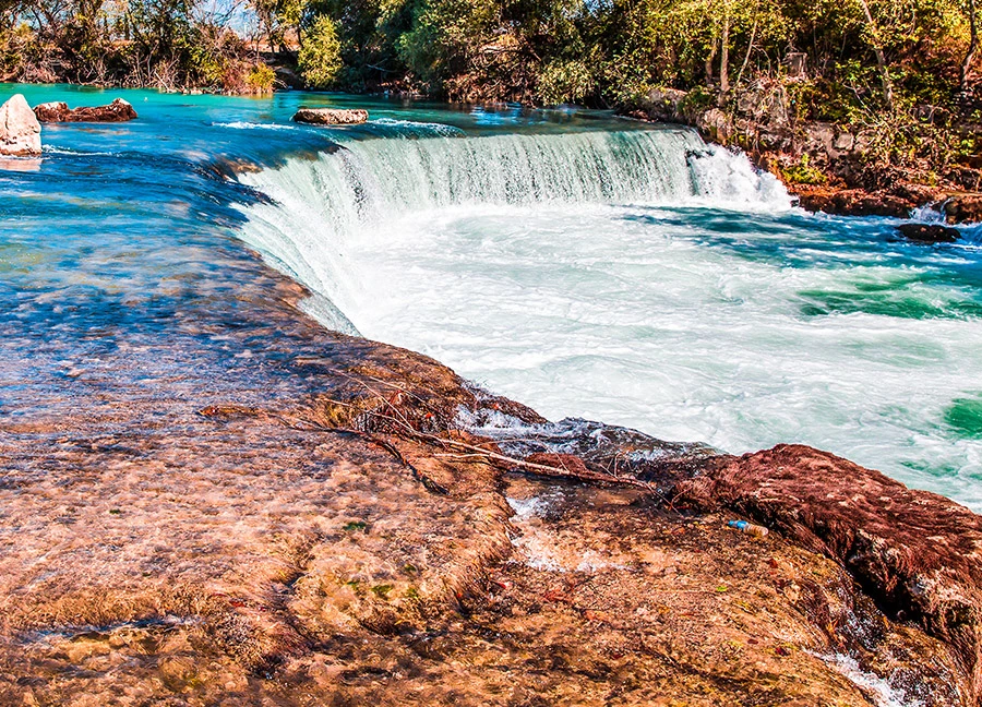
Manavgat Waterfall, one of the most beautiful waterfalls in Turkey, takes its name from the district where it is located. The waterfall is located 4 km from the district center and 72 km from the center of Antalya.
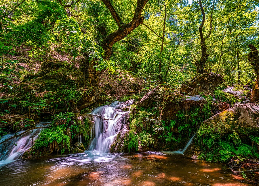
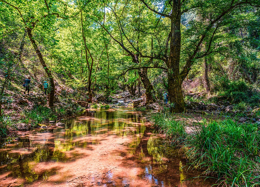
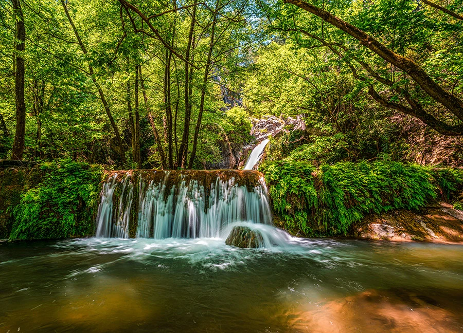
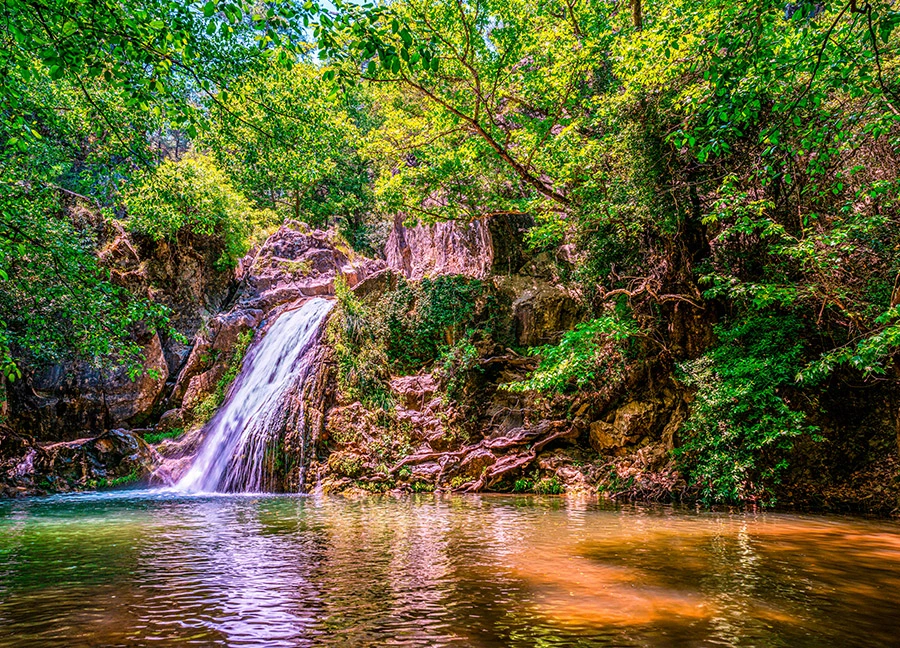
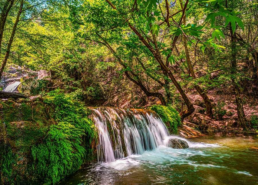
Kocaçay Waterfall, one of the little-known natural wonders of Antalya, is located within the borders of Ekşili Neighborhood of Döşemealtı district. The waterfall is also known as 'Ekşili Waterfall' by the local people and 'Gavurun Spring' in connection with the mill in the vicinity.
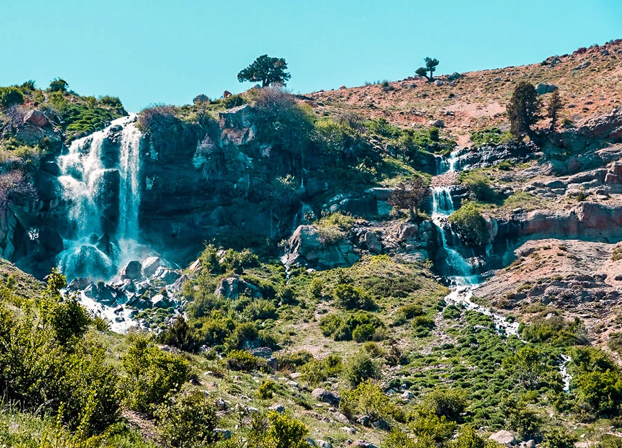
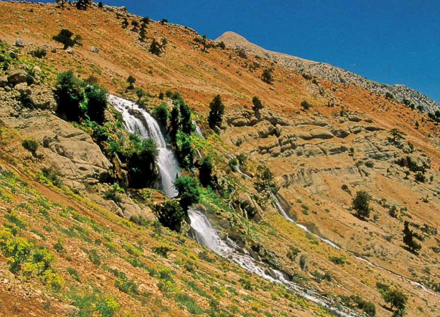
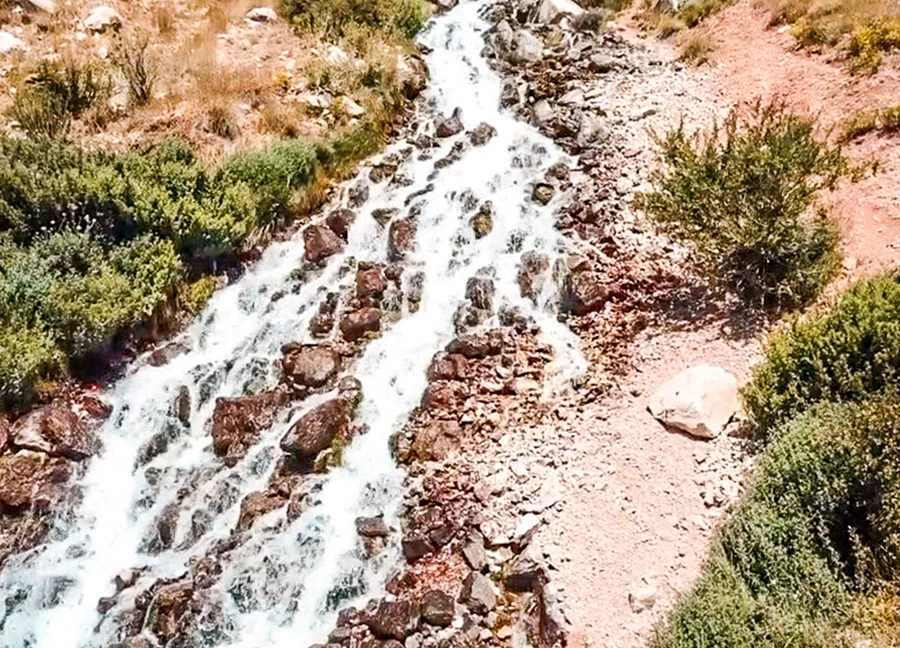
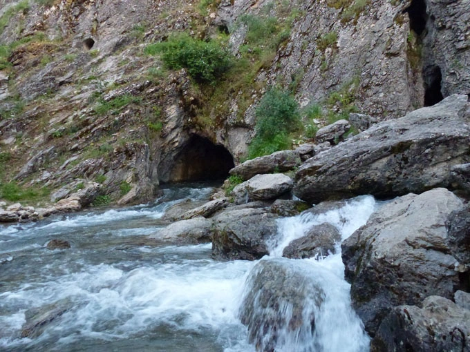
The Uçarsu Waterfall, which attracts attention with its wild beauty, gushes from Akdağ, the highest point of the Western Taurus Mountains above Gömbe Plateau in Kaş district.
The water gushing from the 1800-meter height of Akdağ, which is 3024 meters high, flies down the rocks, which are about 50 meters high and have a cave underneath, like a white cloud. The waterfall is called Uçarsu because the water flies and creates impressive views.
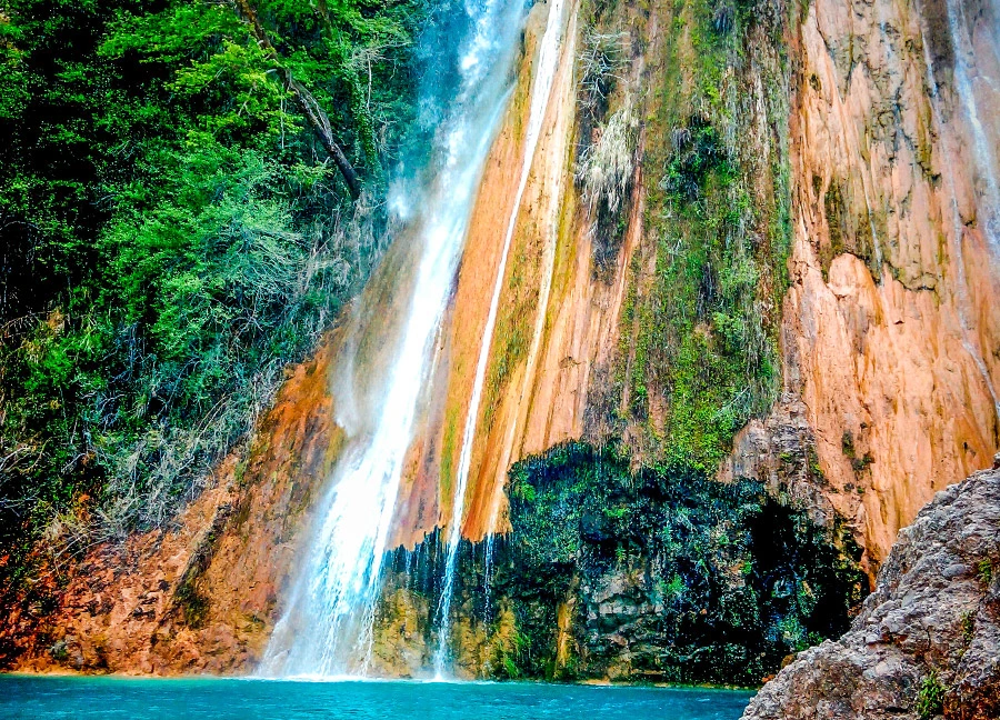
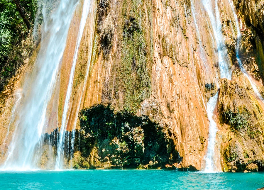
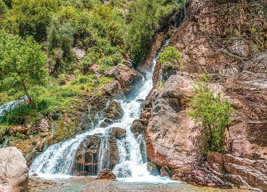
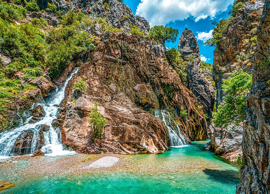
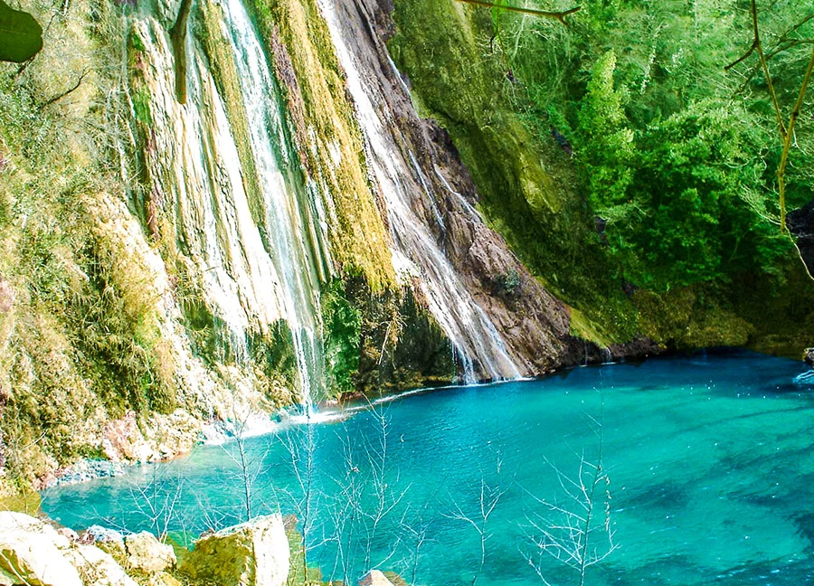
Uçansu Waterfall, which is divided into Upper Uçansu and Lower Uçansu, is located in Akçapınar Neighborhood in Gebiz, Serik, 65 km. from Antalya city center. The waterfall is located 400 meters above sea level on the Uçansu Creek, which is formed by the merger of Havutlu and Bal Creeks. The waterfalls are also on the St. Paul's Way, the second longest marked hiking route in Turkey. Those who walk this route have the opportunity to see the waterfalls.
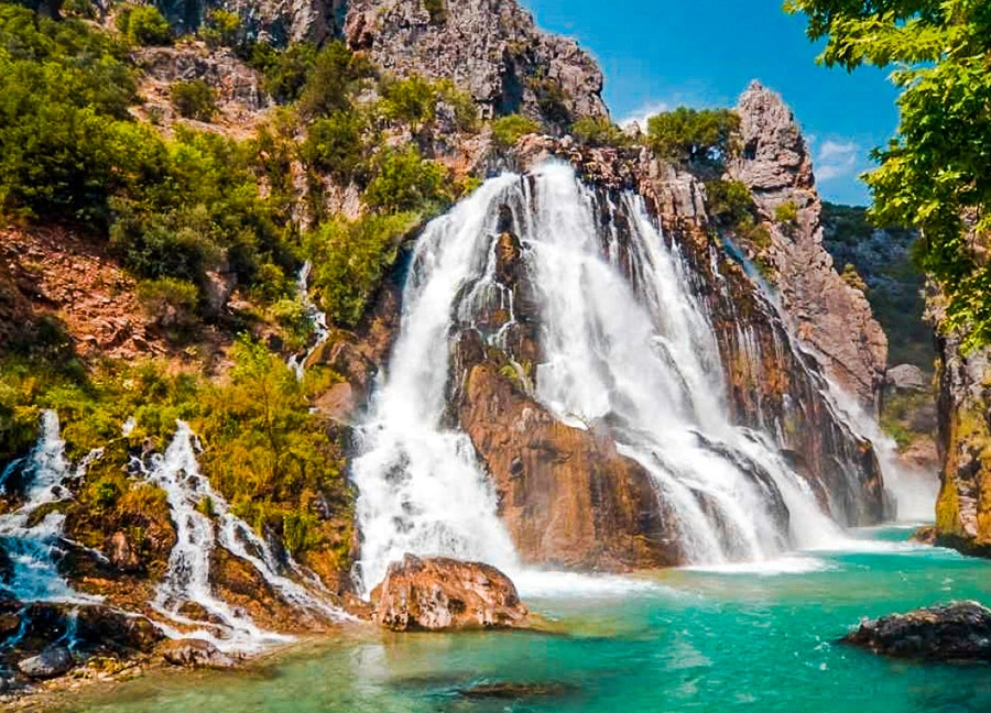
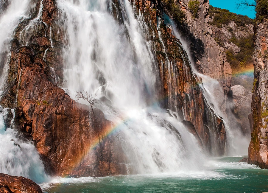
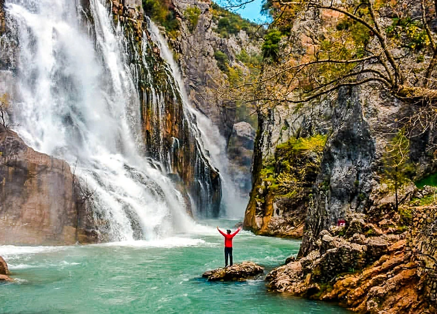
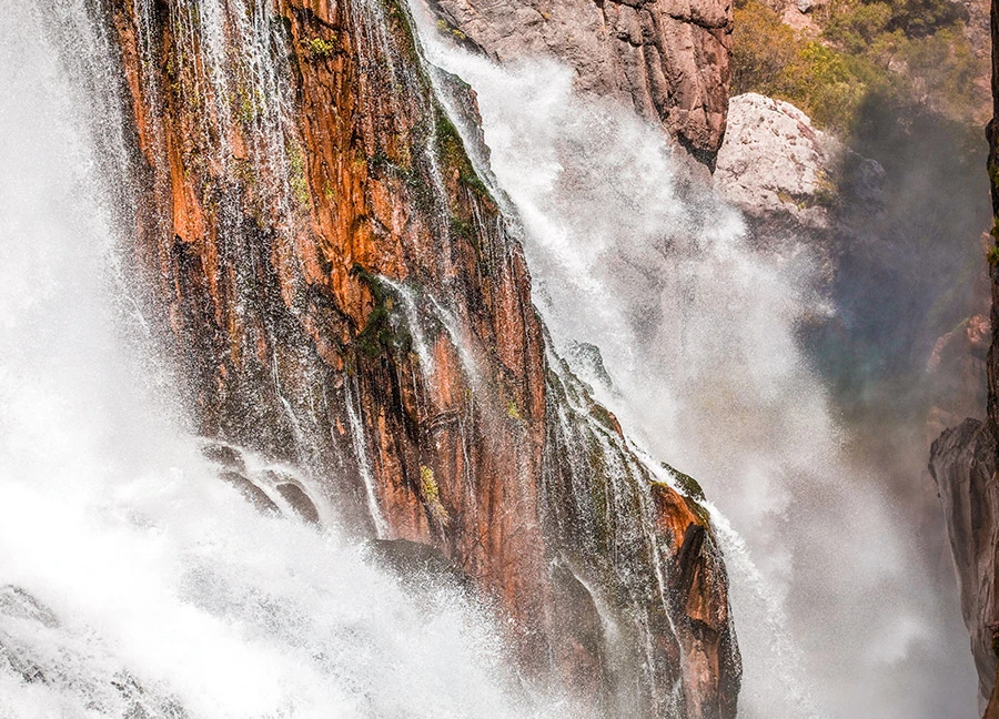
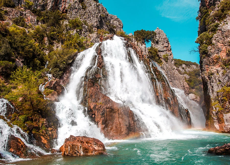
Uçansu Waterfall, located in the valley below Kayabükü Village in Gündoğmuş district of Antalya, is also known as Çündere Waterfall due to the Çündere Stream in the region. The waterfall is approximately 165 km from the center of Antalya and 24 km from Gündoğmuş.
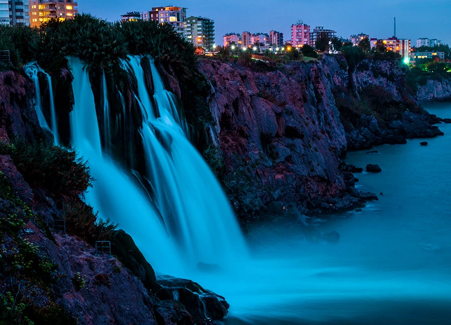
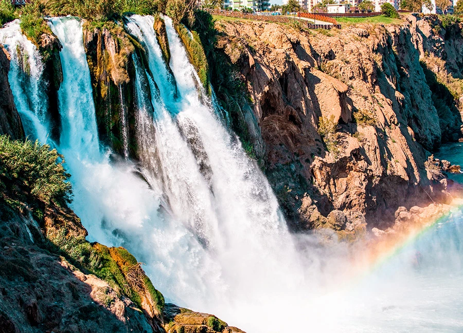
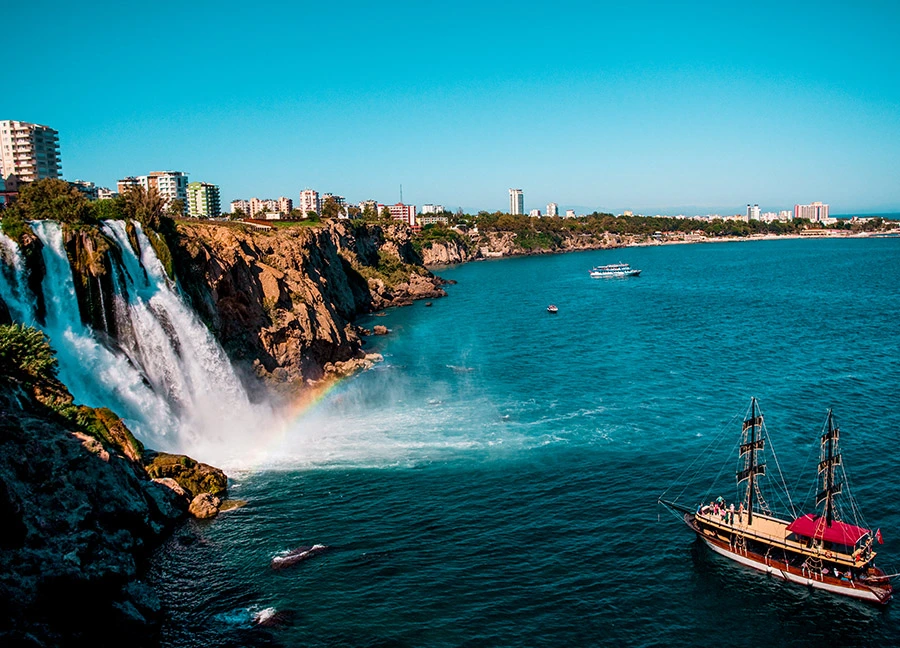
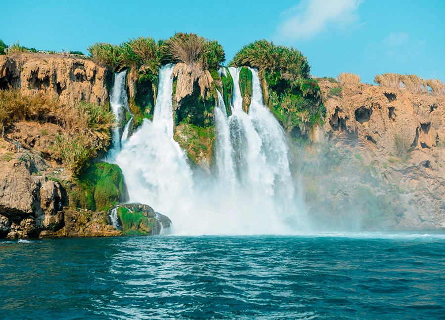
Lower Duden Waterfall, which is one of the most visited spots in Antalya thanks to its unique view and proximity to the city center, is located in the Düden Park, which has a very spacious atmosphere with its landscaping in Lara Region, 8 km. away from Antalya city center. The waters of Lower Duden, the only waterfall in Turkey that flows into the sea, meet the Mediterranean Sea from the 40-meter cliffs.
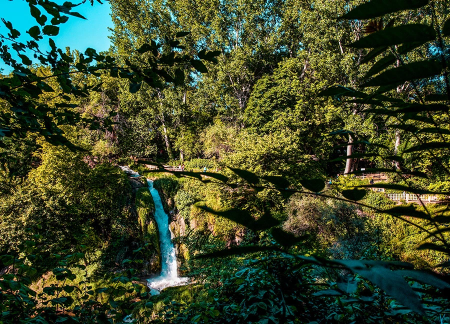
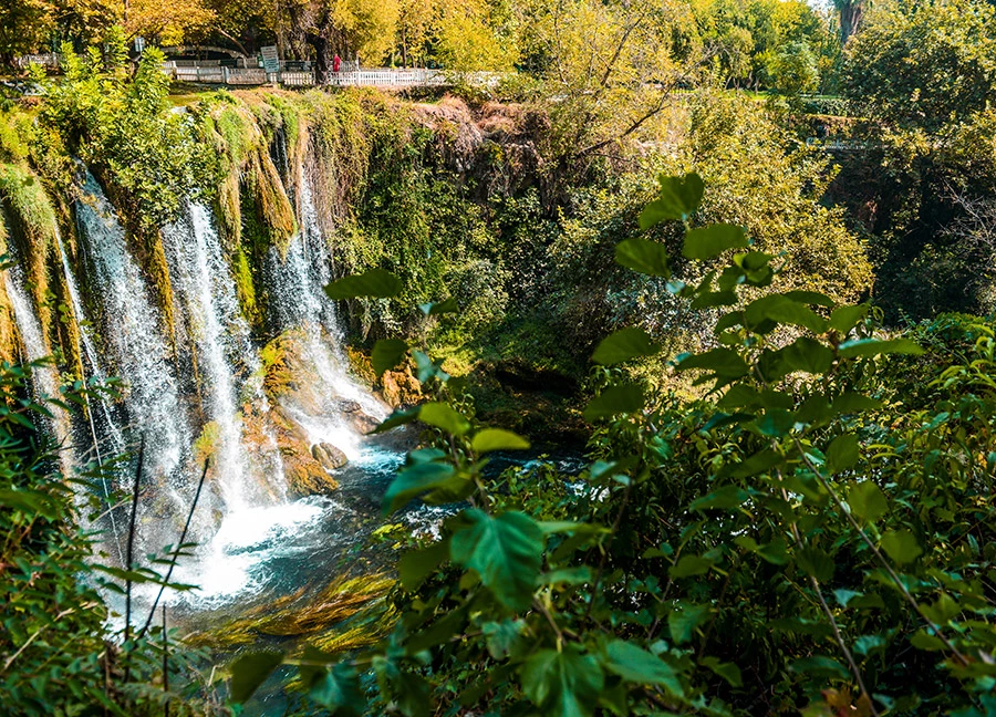
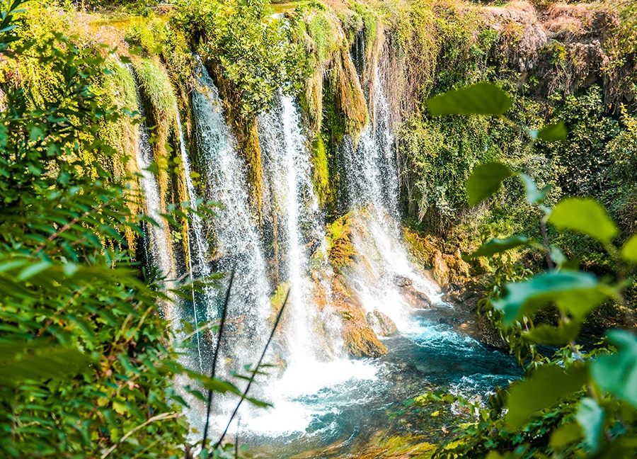
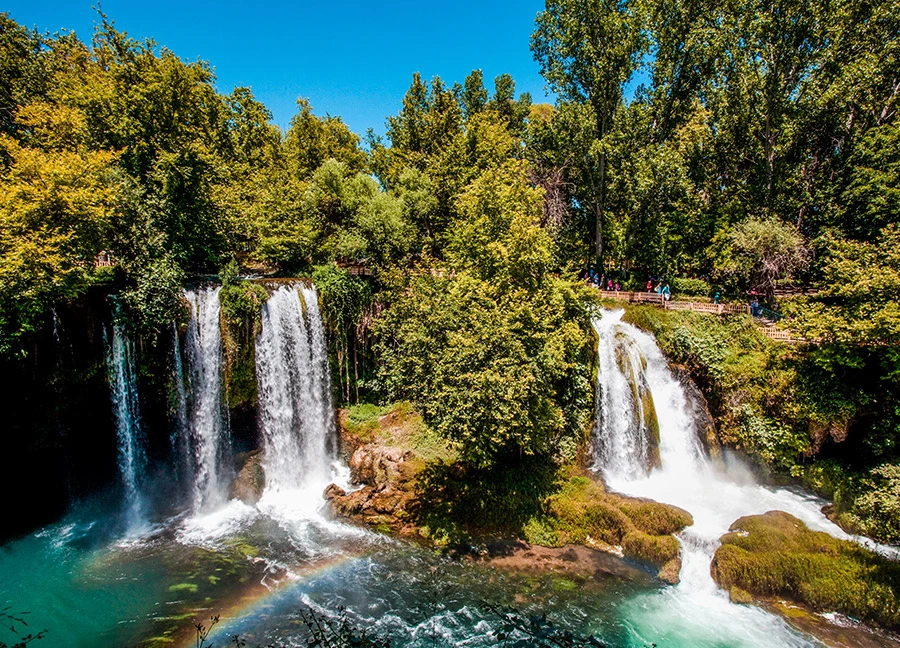
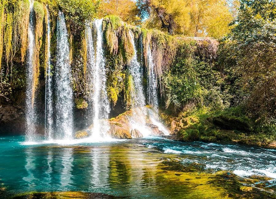
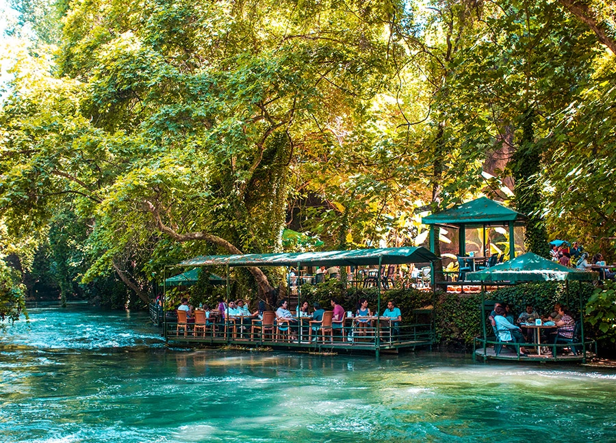
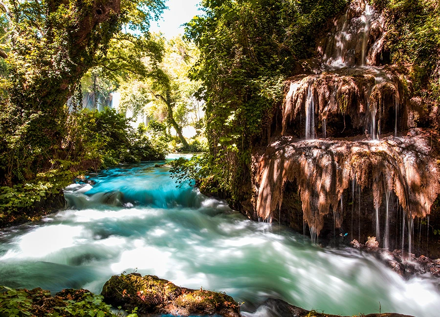
Upper Duden Waterfall is located 10 km. from the city center, in the Şelale Neighborhood within the borders of Kepez district. The waterfall, which ranks among the must-see natural beauties of Antalya, resembles a lush green oasis in the city with its surrounding recreation and picnic areas.
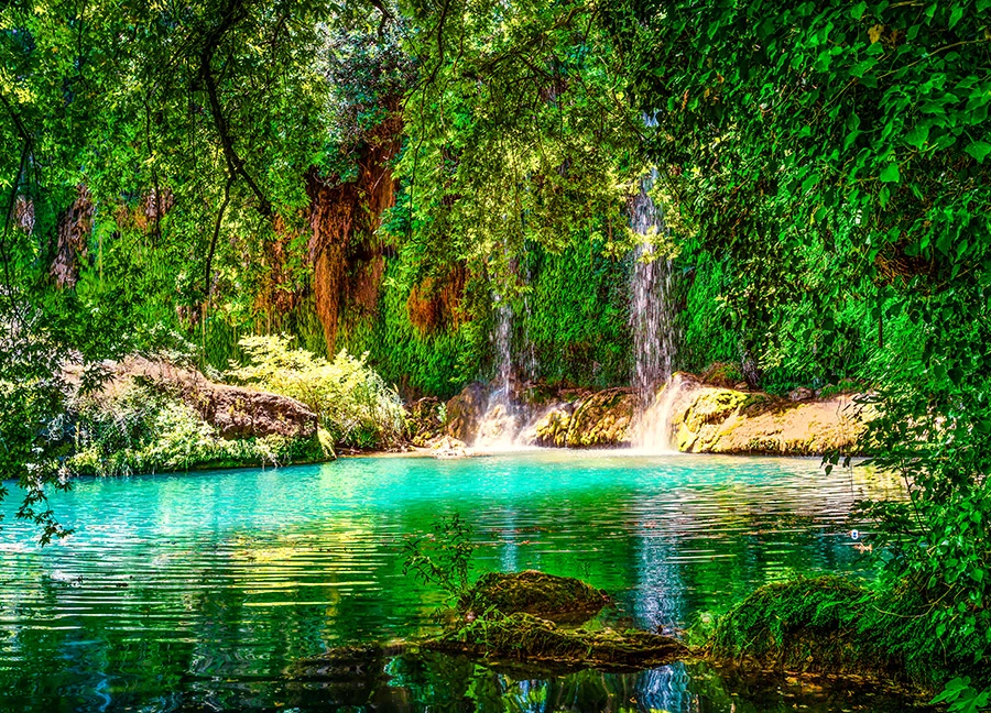
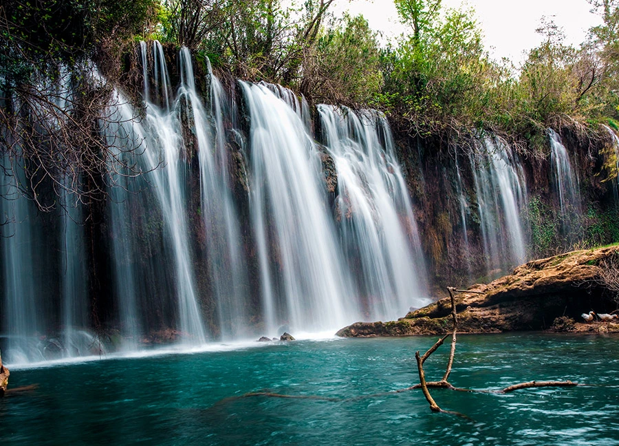
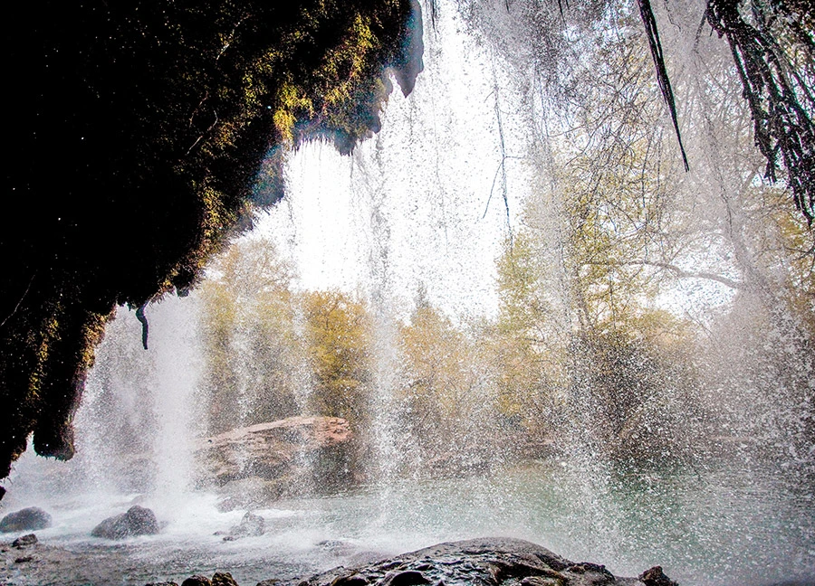
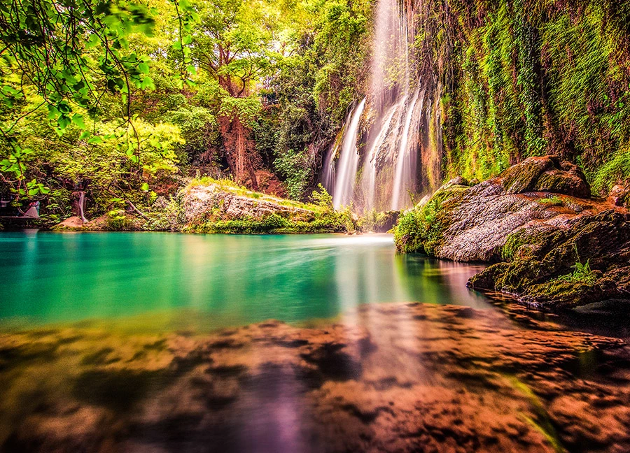
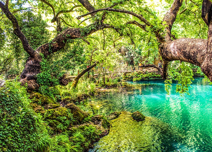
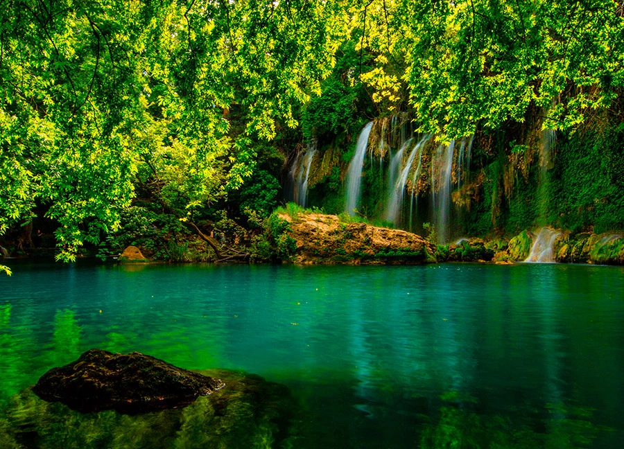
Kurşunlu Waterfall Nature Park, a refuge in nature thanks to its rich flora, is 20 km. away from Antalya. Open to visitors since 1986, the park attracts countless visitors for activities such as daily rest and picnics with its clean air, lush green nature and fascinating views. With 7 small ponds connected to each other by small waterfalls in a 2 km canyon, the natural park is home to more than 100 bird species of the region.
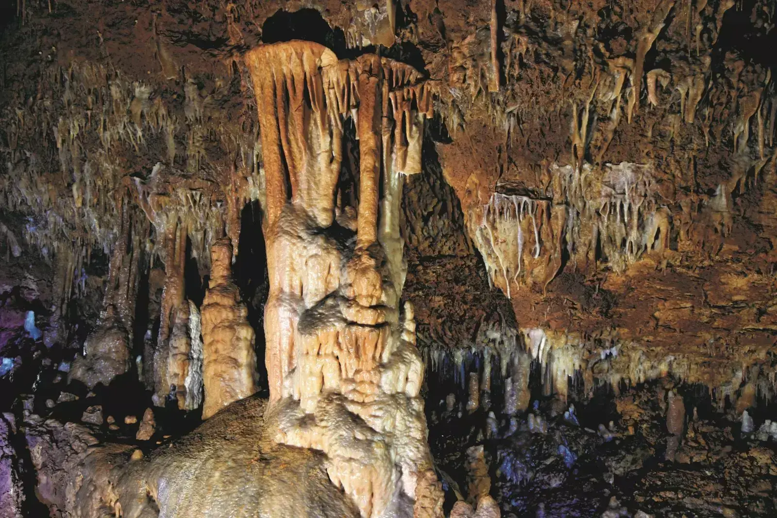
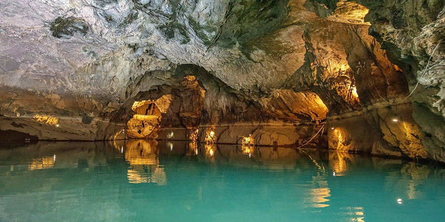
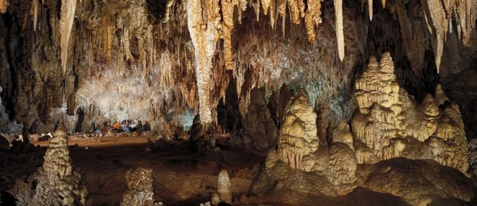
It is on the cliffside of the Atatürk Park in Antalya. There is no land access to the cave. 60 m. The cave in total length is of Horizontal cave type. Since it is related to the sea, there is also a sea cave. For example, it is dry. Part of the east hall is under water.
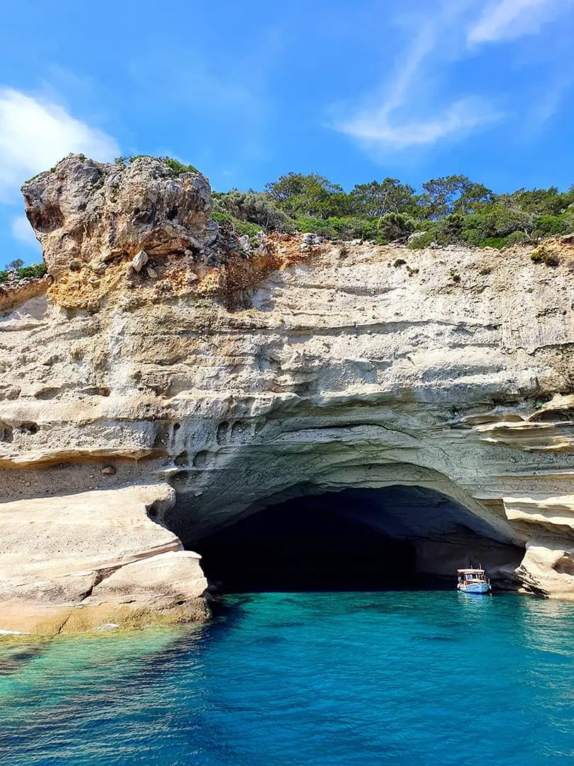
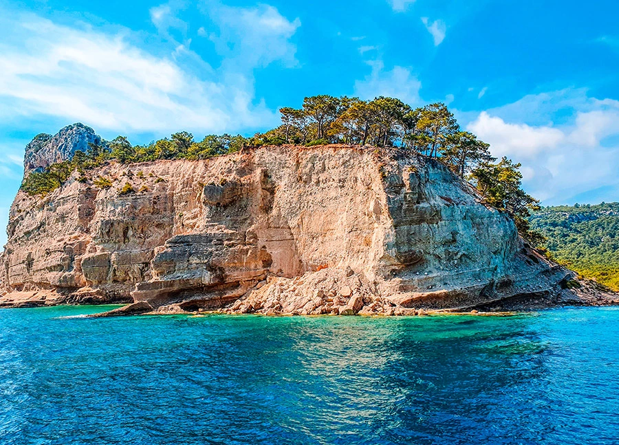
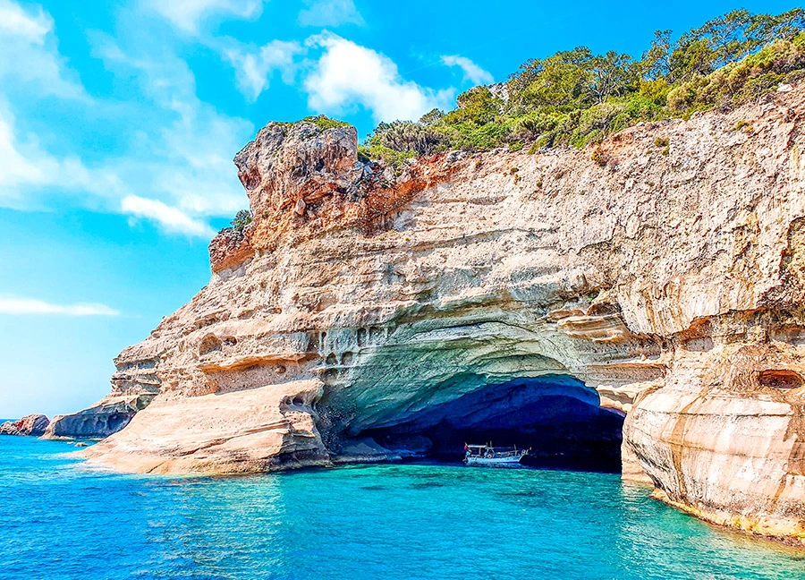
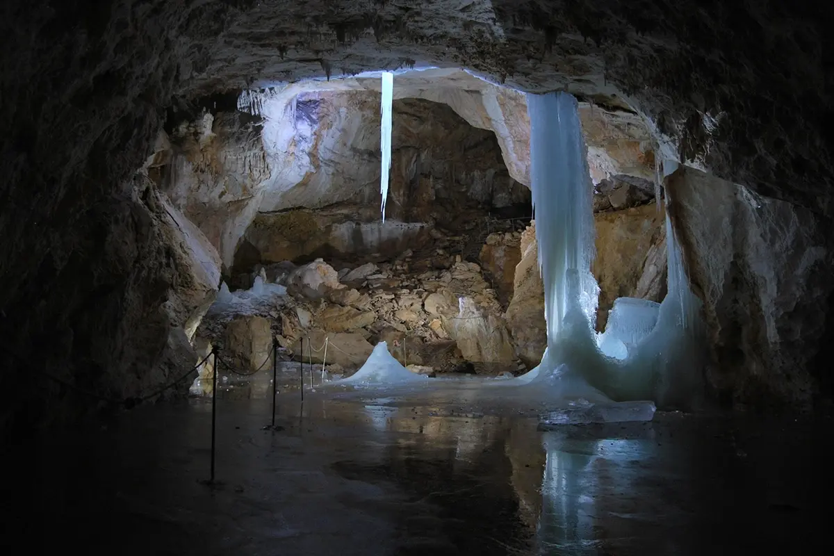
It is an under-rock shelter located just at the exit of the Çamdağ tunnel, at the 40th km of the Antalya-Kemer coastal road. It is located in Obaköy locality. 25 m from the sea coast. It is a cave in the form of a shelter at a high altitude.
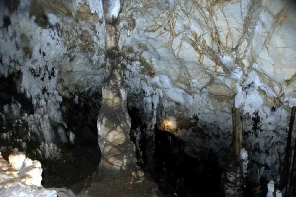
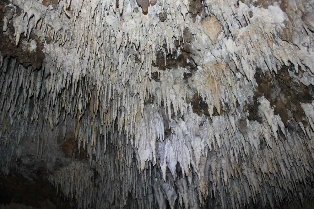
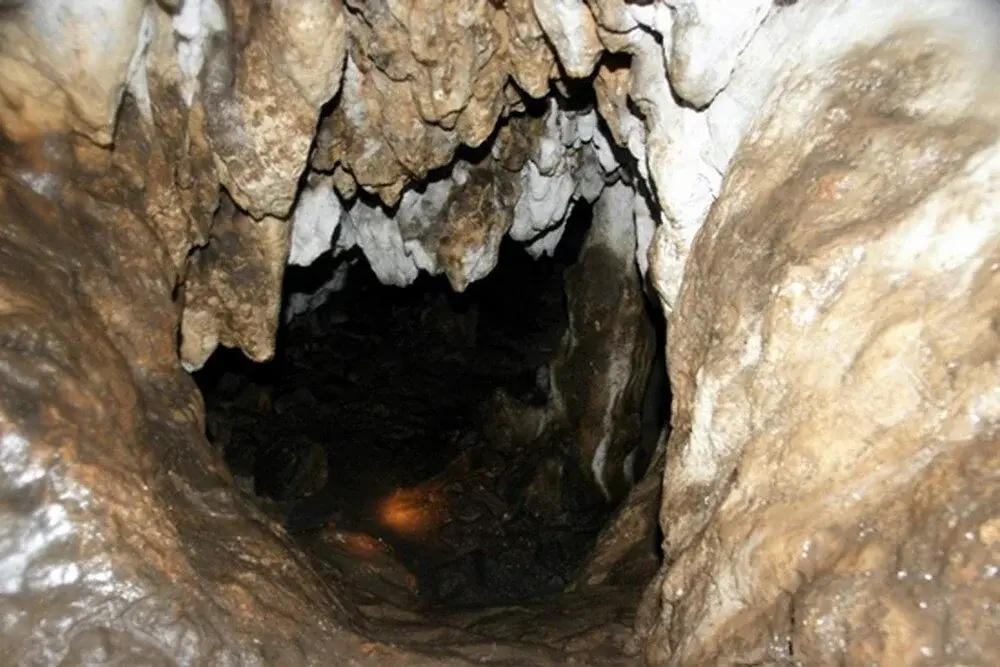
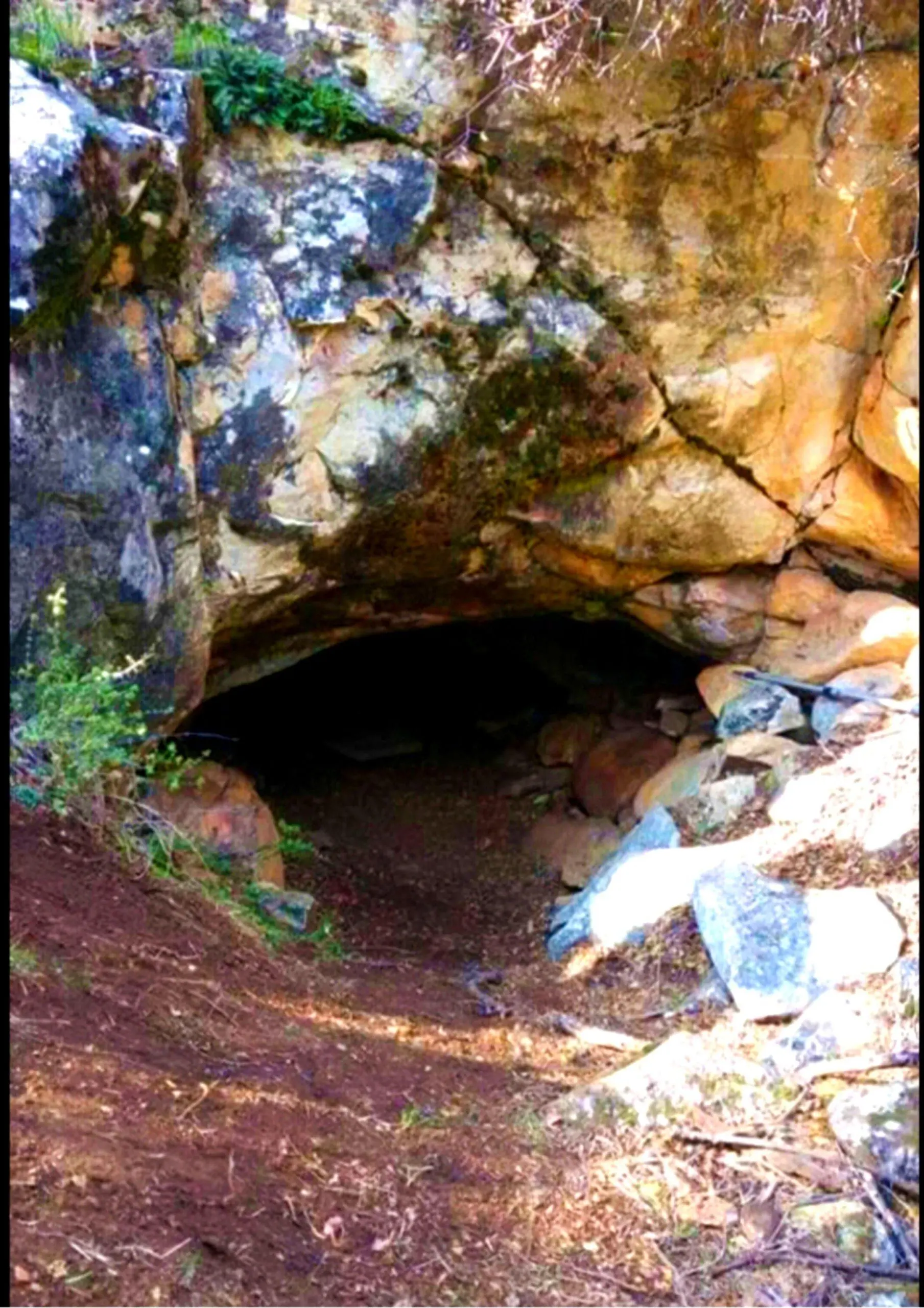
It is an under-rock shelter located just at the exit of the Çamdağ tunnel, at the 40th km of the Antalya-Kemer coastal road. It is located in Obaköy locality. 25 m from the sea coast. It is a cave in the form of a shelter at a high altitude.

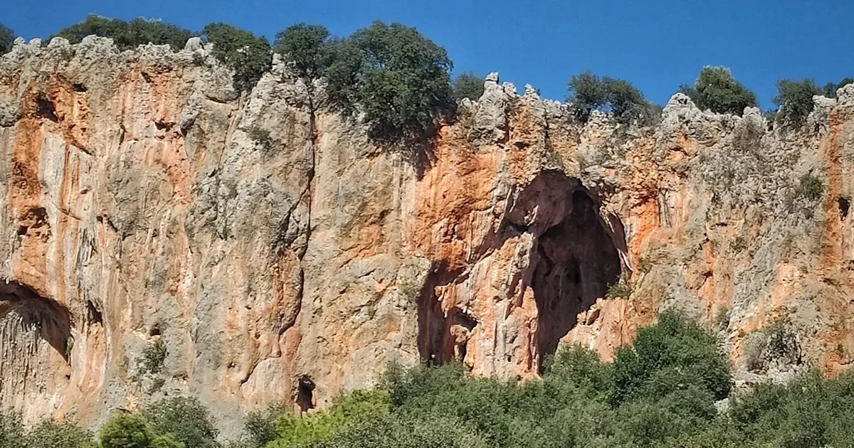
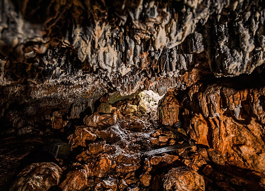
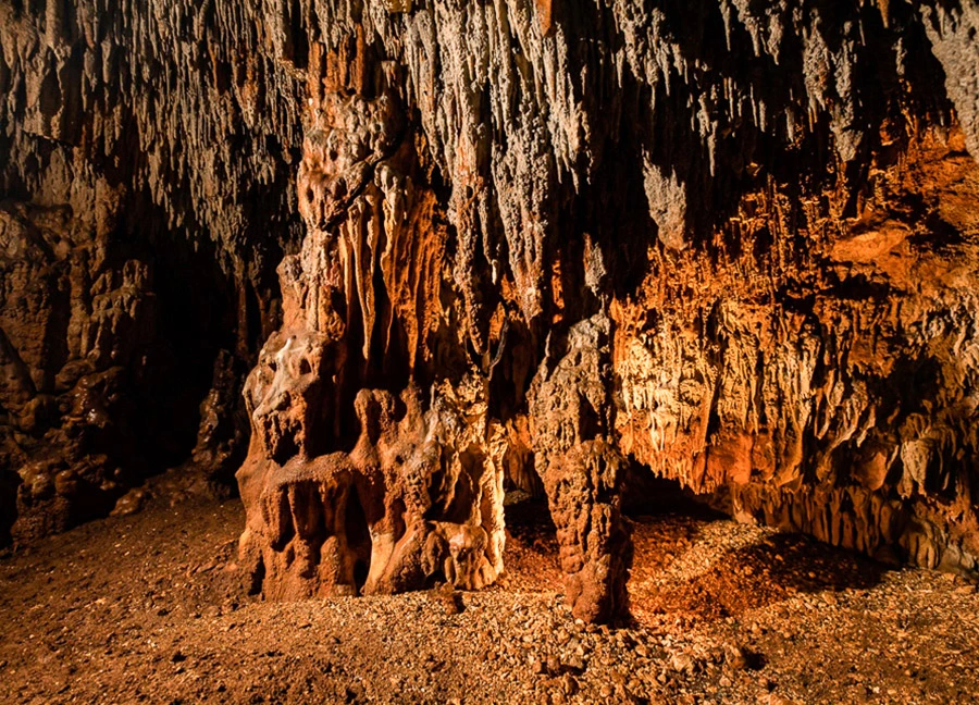
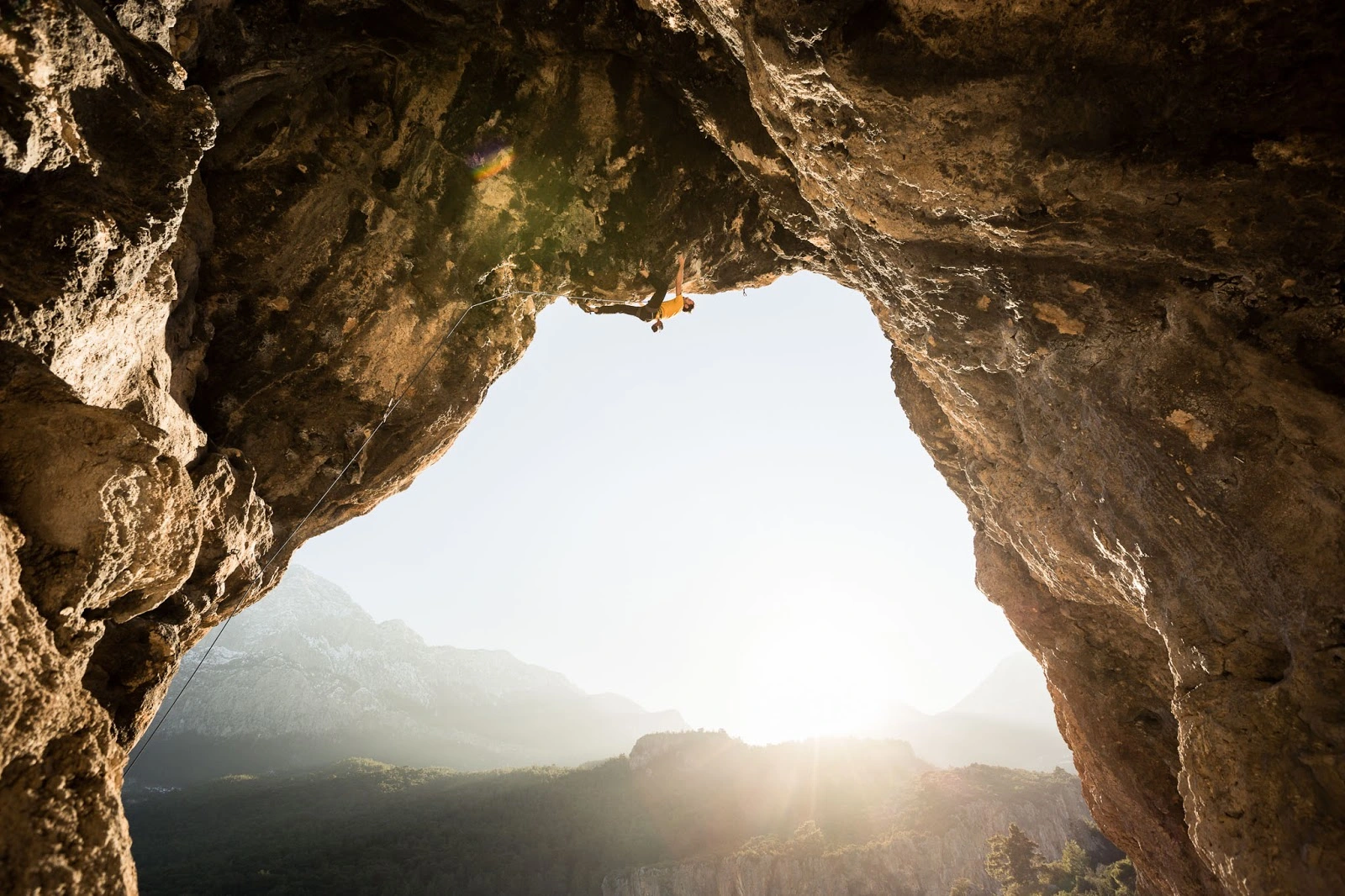
26 km from Antalya. It is in the village of Geyikbayırı, 15 km away. From Antalya, you can go to Geyikbayırı village via Çakirler village in the west direction. The cave can be accessed within a 5-minute walk from the center of the village.
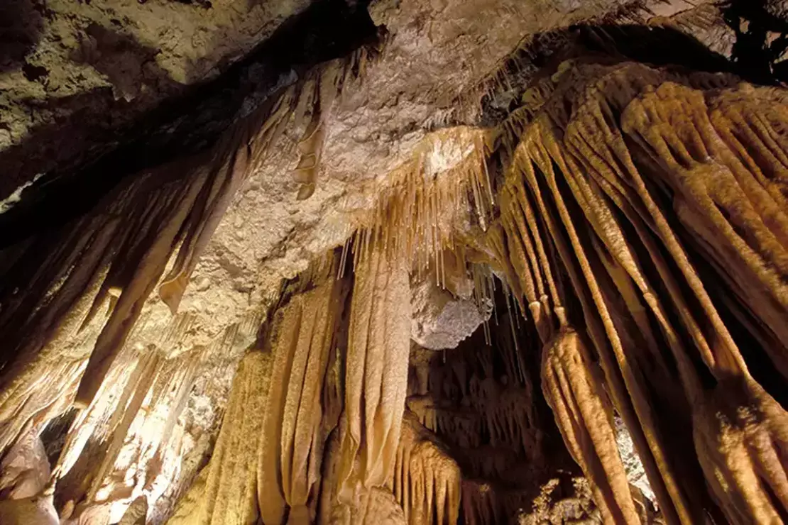
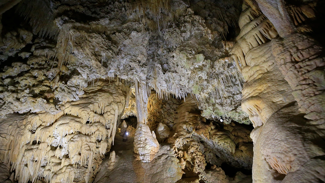
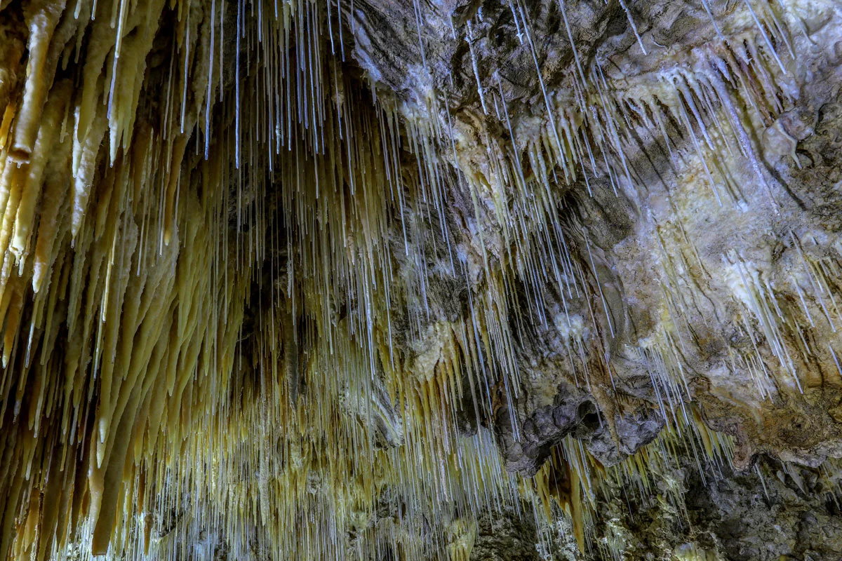
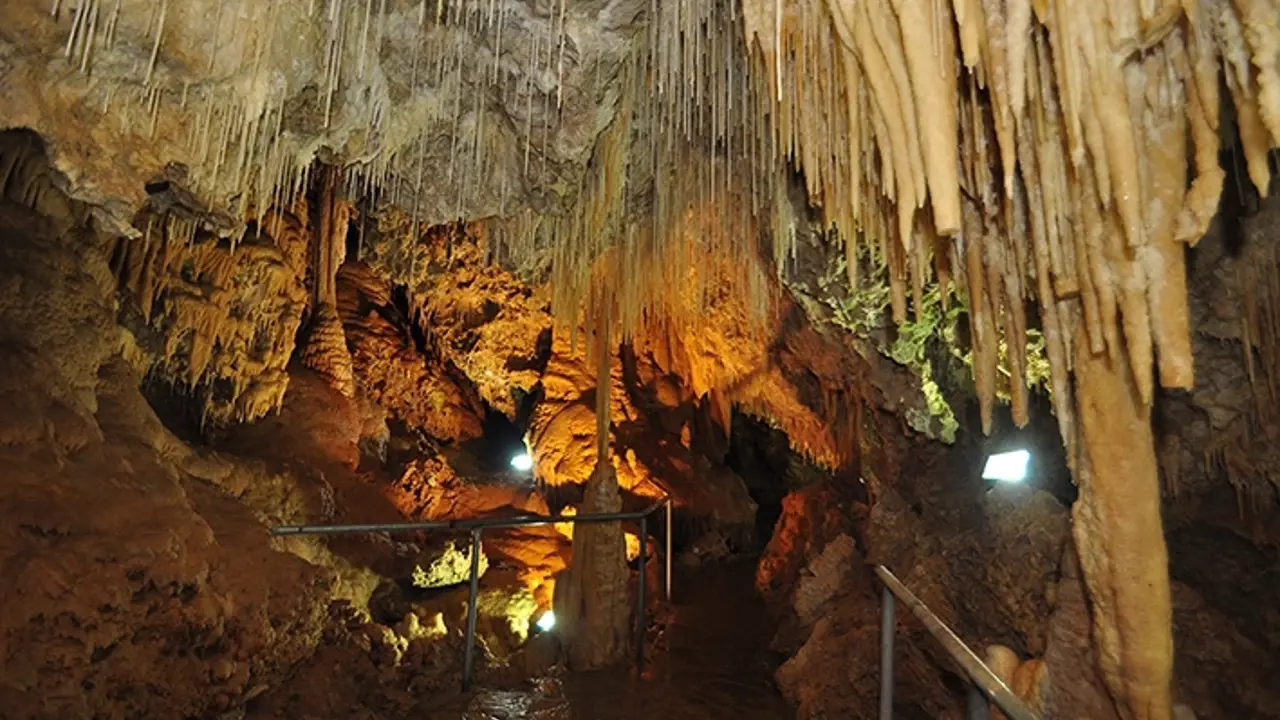
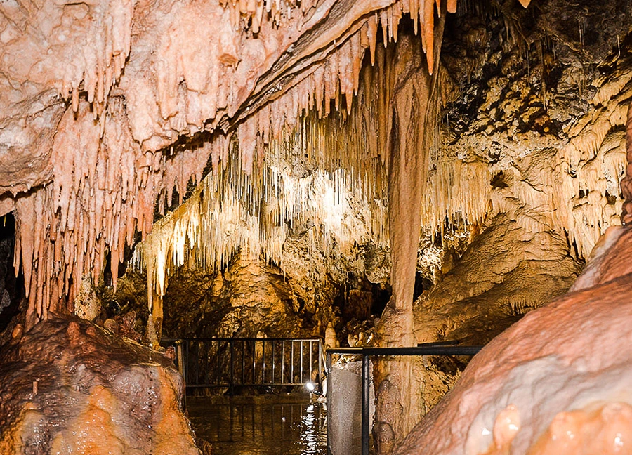
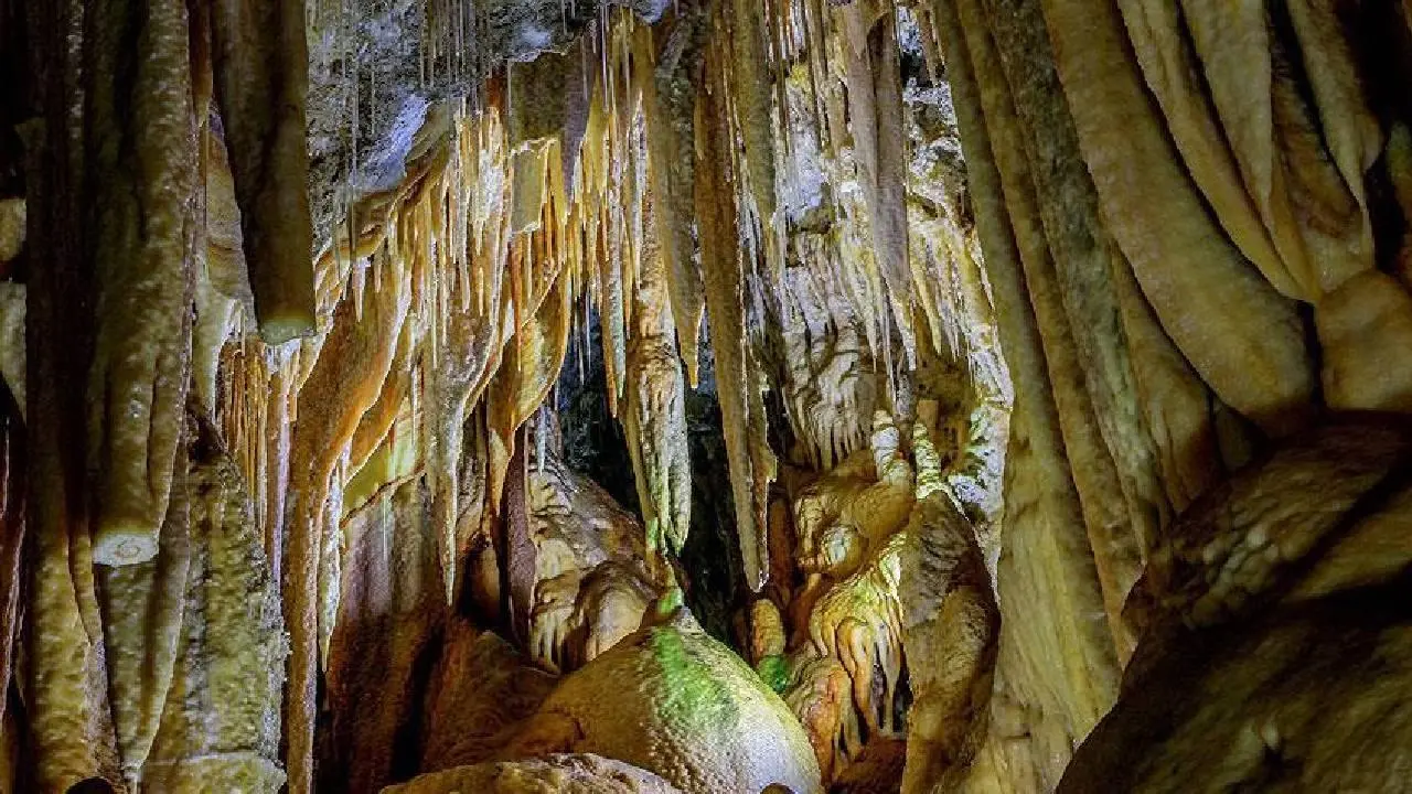
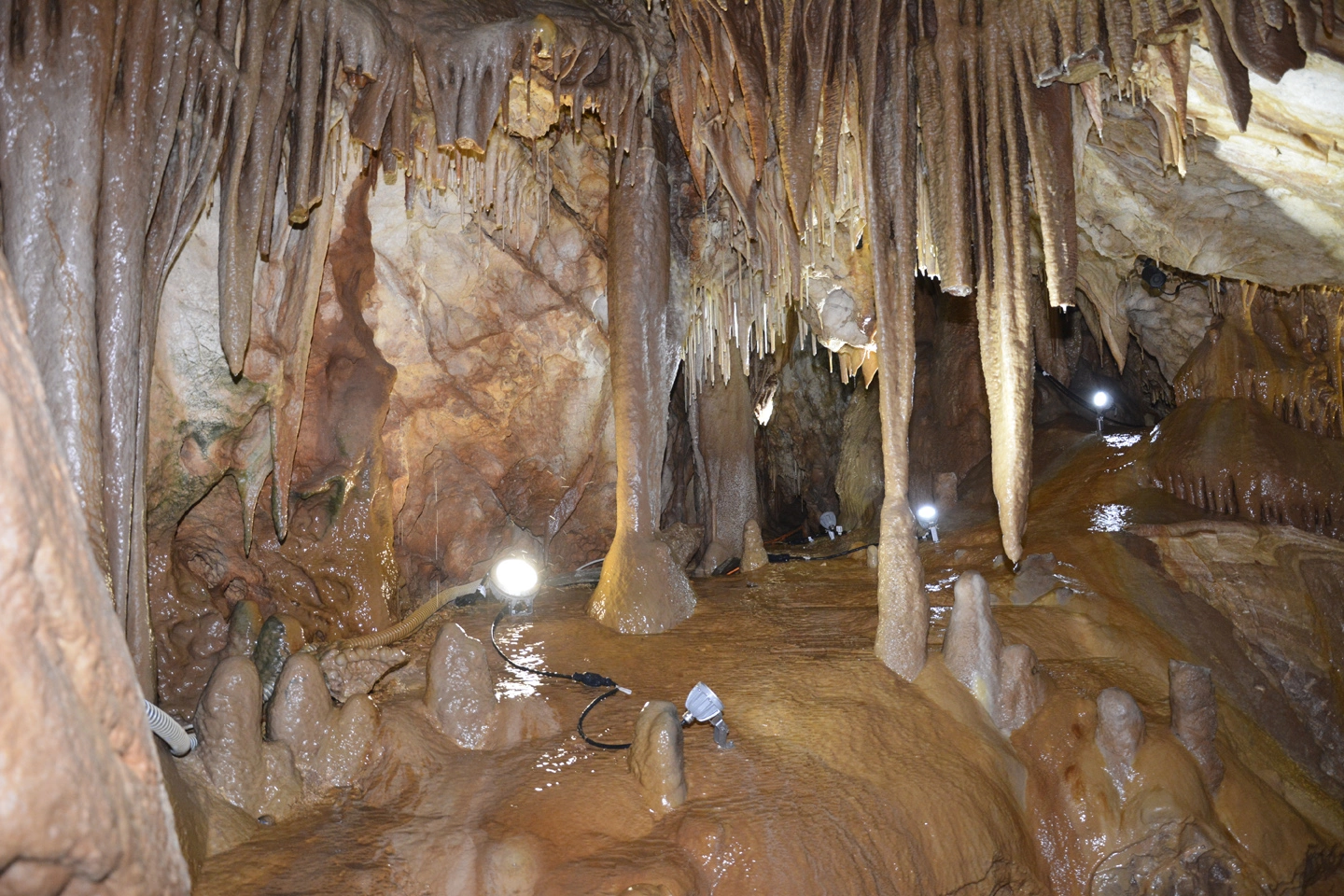
Zeytintaşı Cave is located on the southern slope of Zeytinlitaş Hill southeast of Gökçeler Quarter of Akbaş village, 15 km. north of Serik district of Antalya. Zeytinlitaş Hill lies between Koca Stream, an important tributary of Köprüçay, and Gökçeler Stream in the form of a broken ridge.
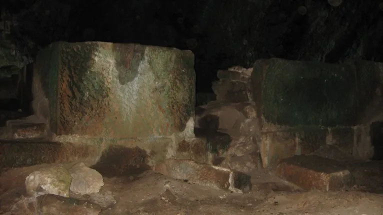
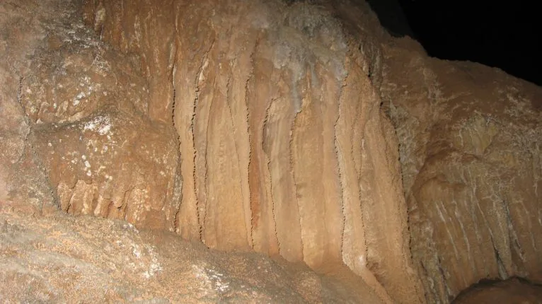
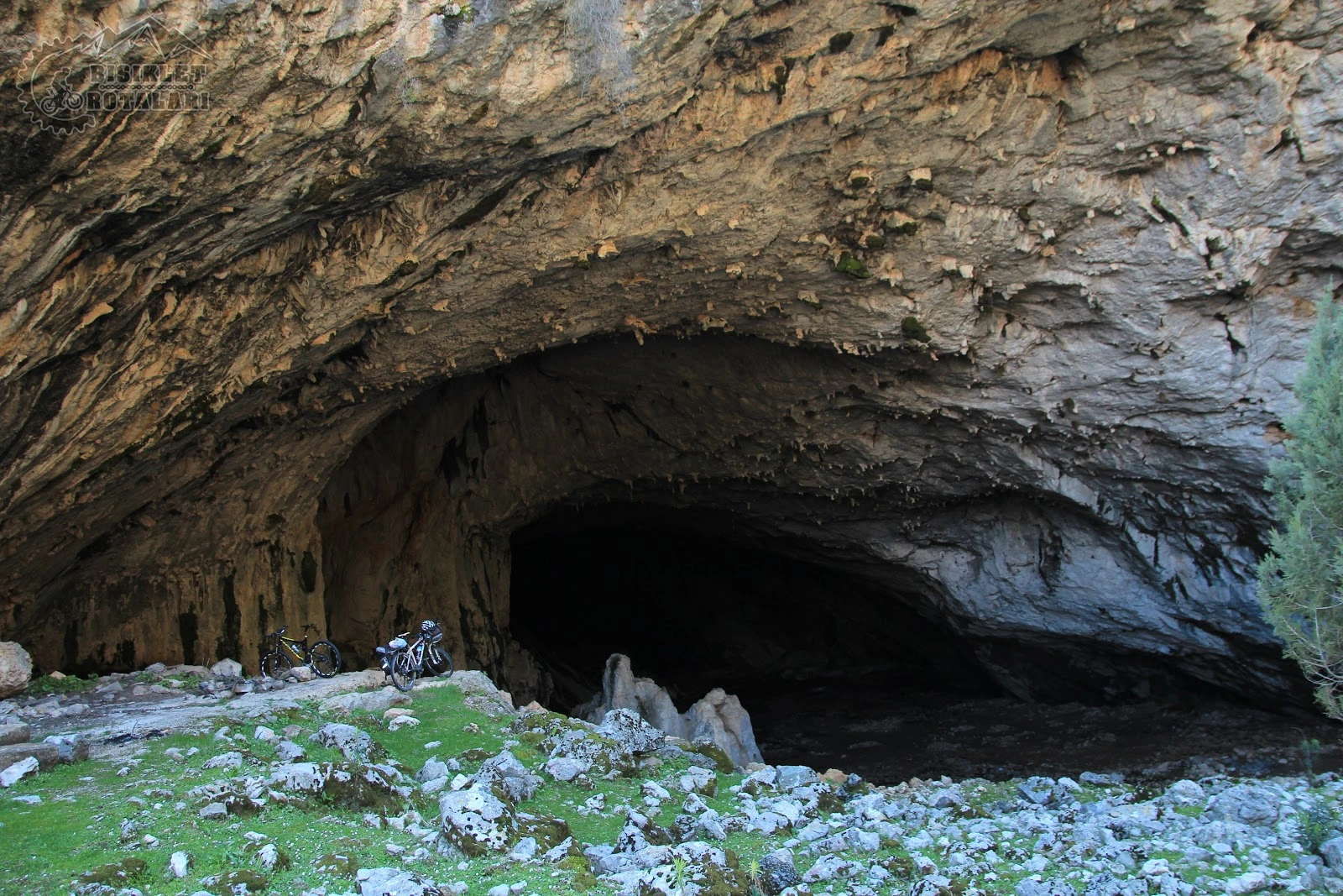
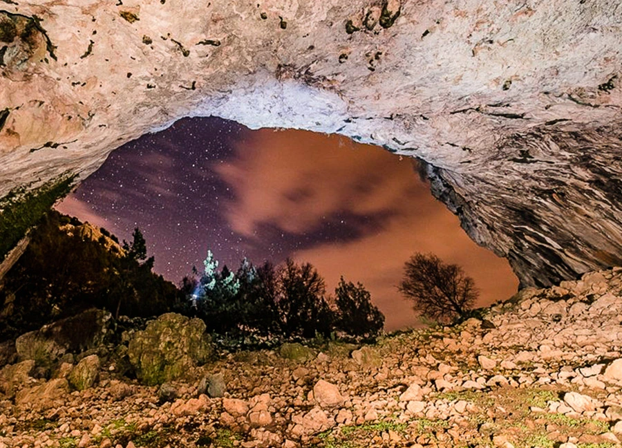
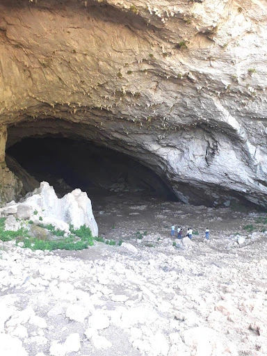
It is located 45 km. north of Antalya. It can be reached from Antalya-Burdur highway via Camiliköy-Ahırtaş villages. It is a cave with the widest mouth and the largest single gallery in Turkey.
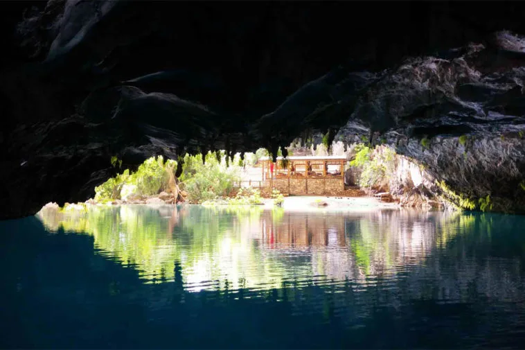
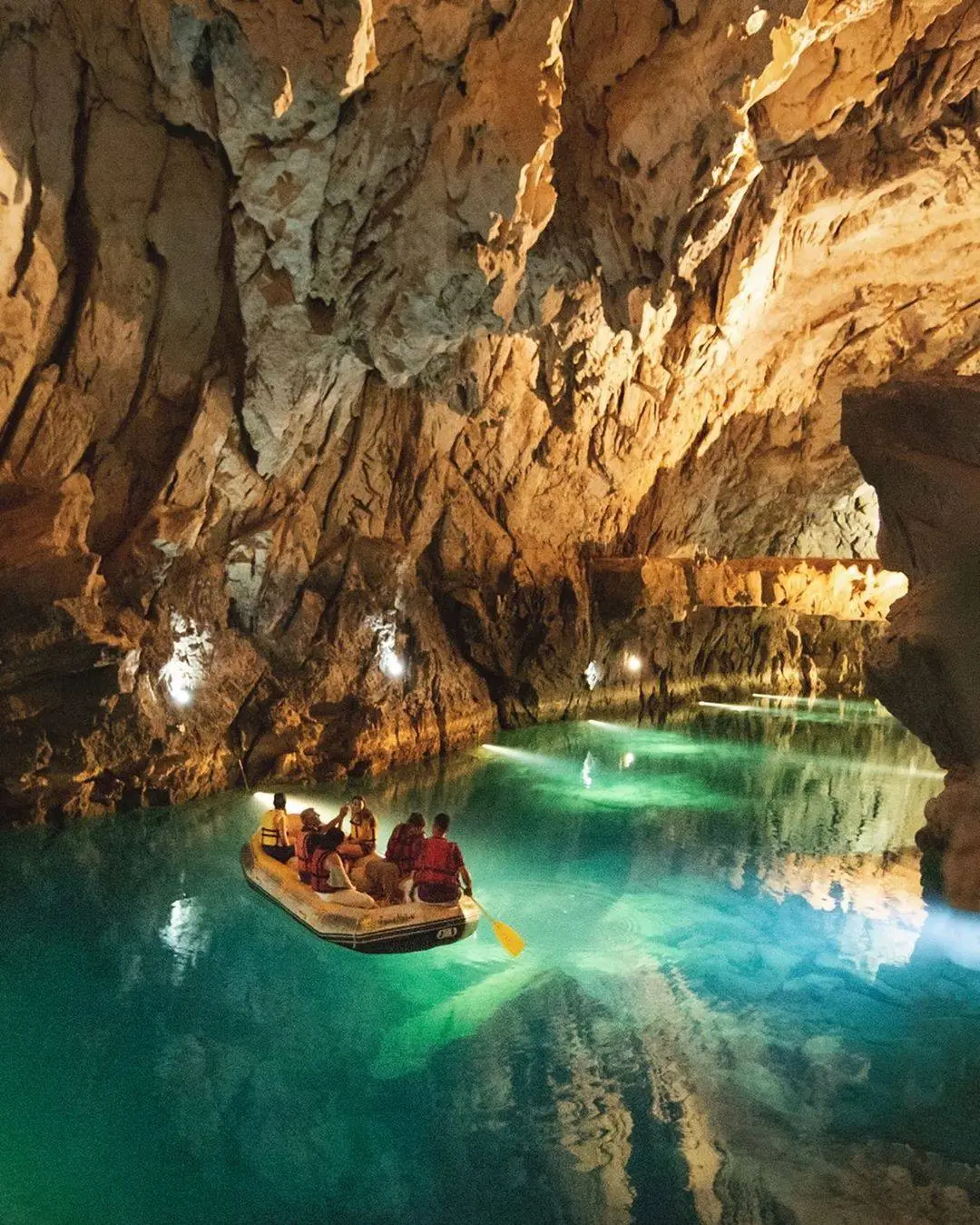
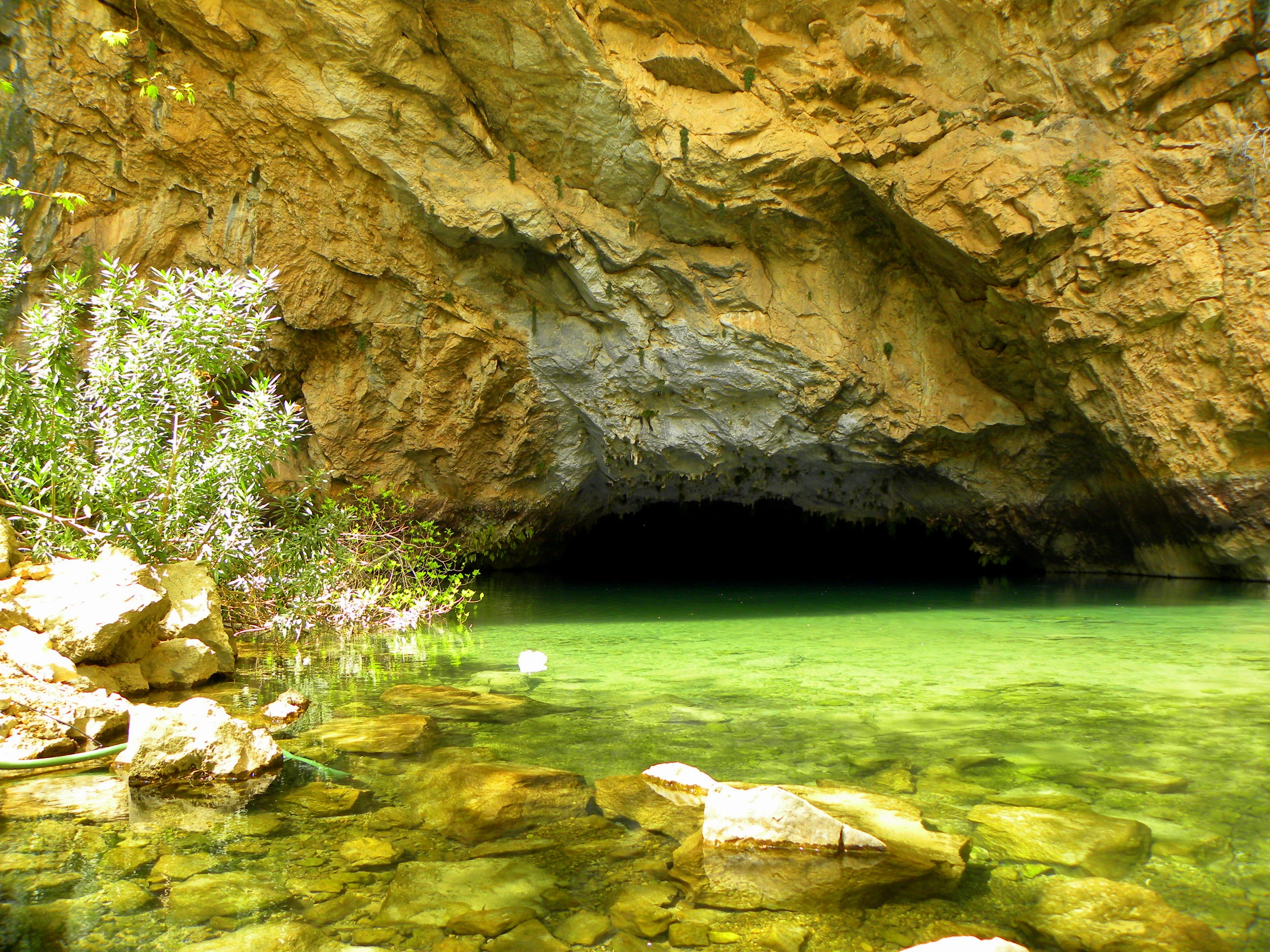
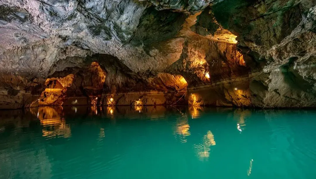
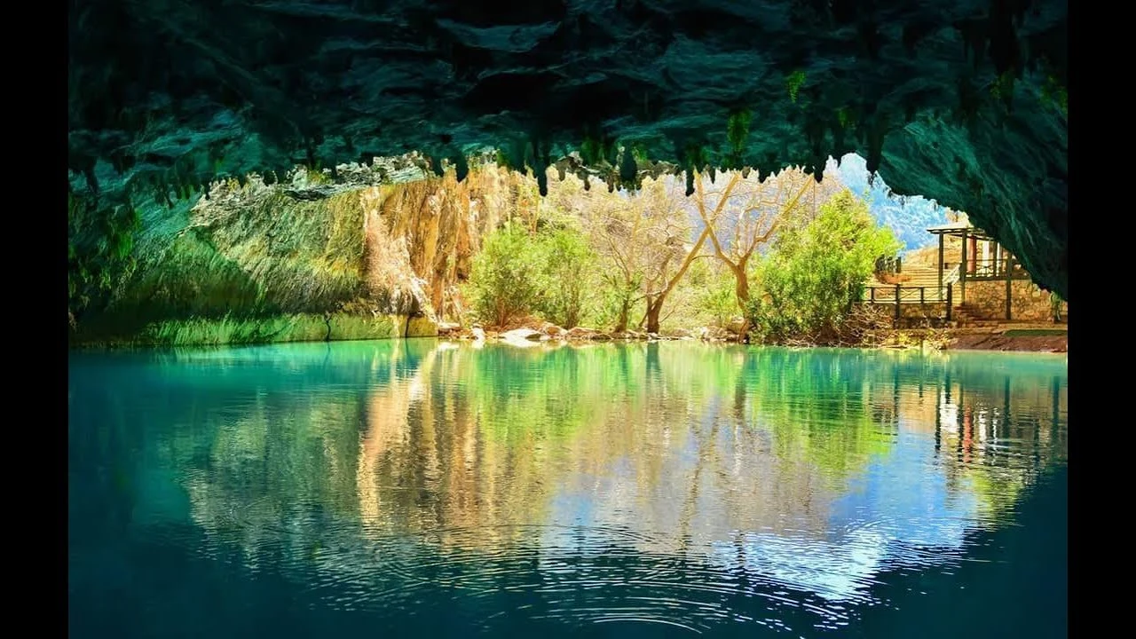
It is located on the western slope of the deep and steep Manavgat Valley east of Ürünlü village in Akseki district. The cave in the village can only be reached by a one-hour walk. The total length of the cave is 2500 m. The highest point of the cave is 101 m according to the entrance.
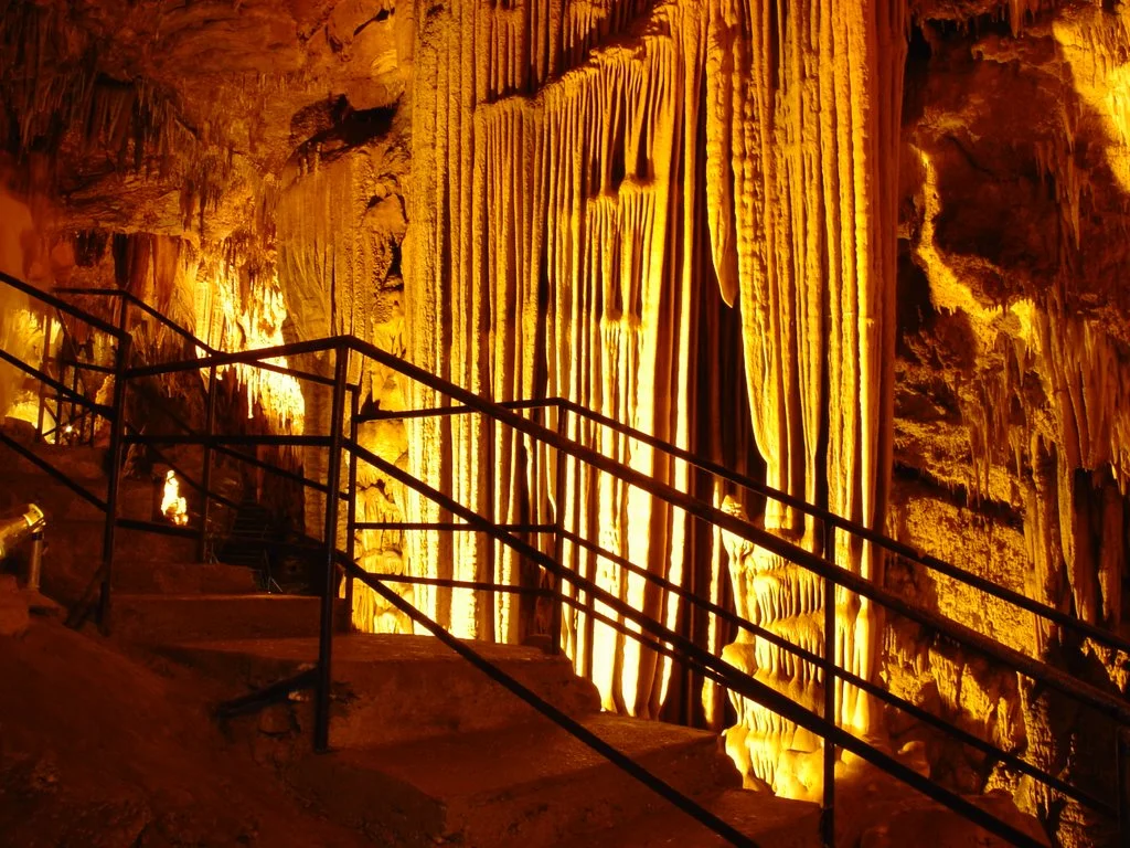
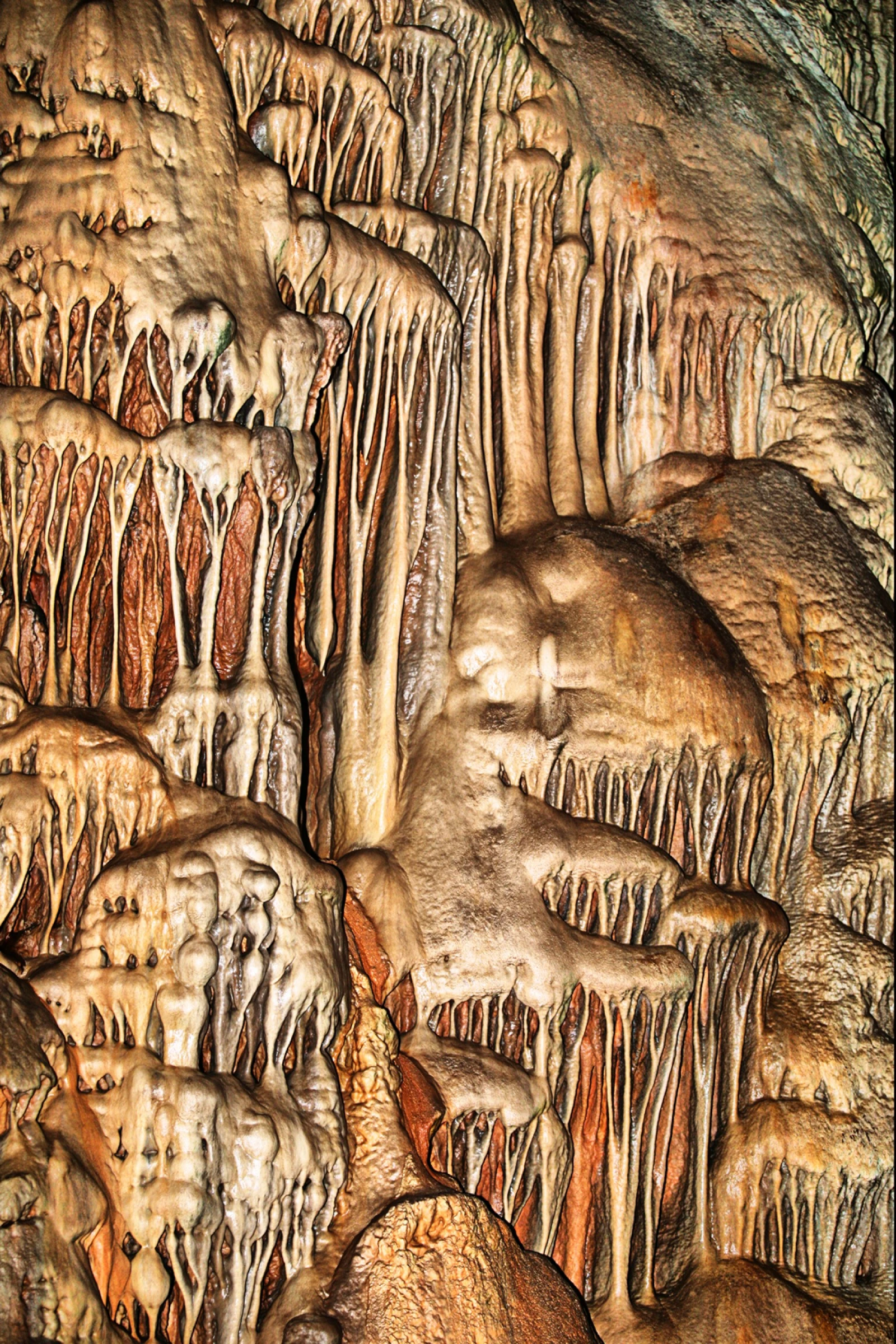
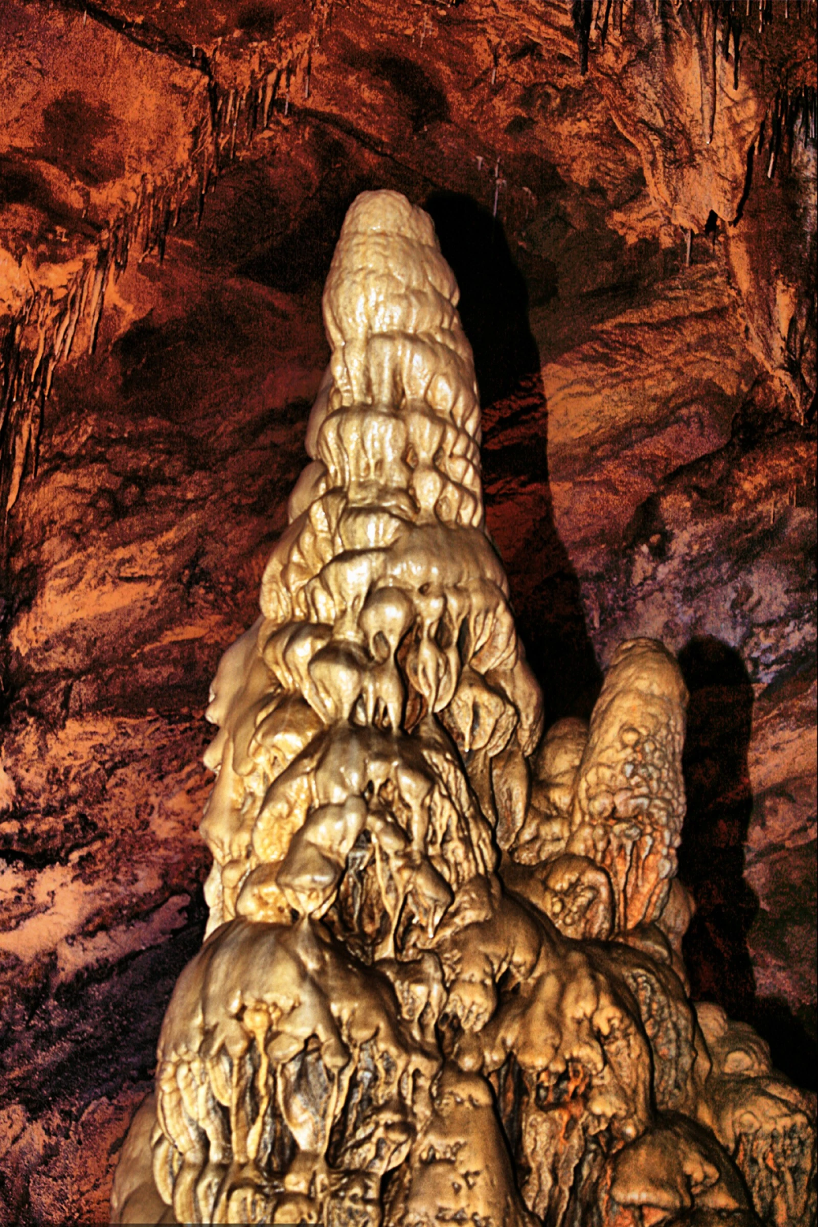
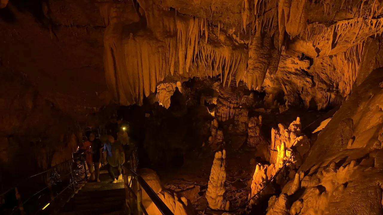
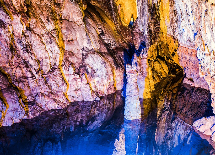
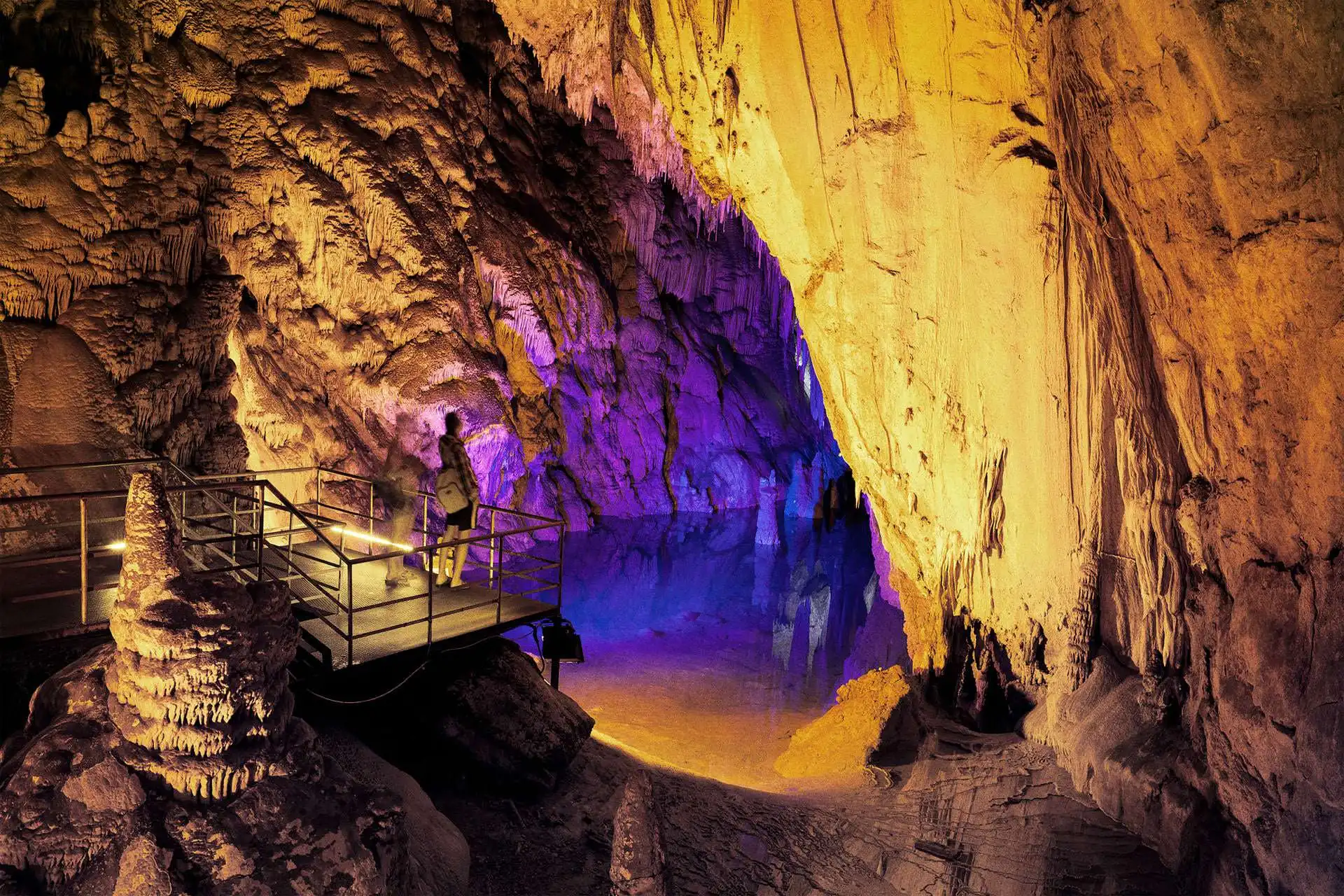
It is on the slope of Cebereis Mountain, 12 km. east of Alanya center. Dim Cave is one of the most beautiful caves in Turkey. It is suitable for visiting because it is close to Alanya and the surrounding area is covered with picnic areas and forests. It was called "Gâvurini Cave" by the local people because it was used as a shelter by people in prehistoric and historical times.
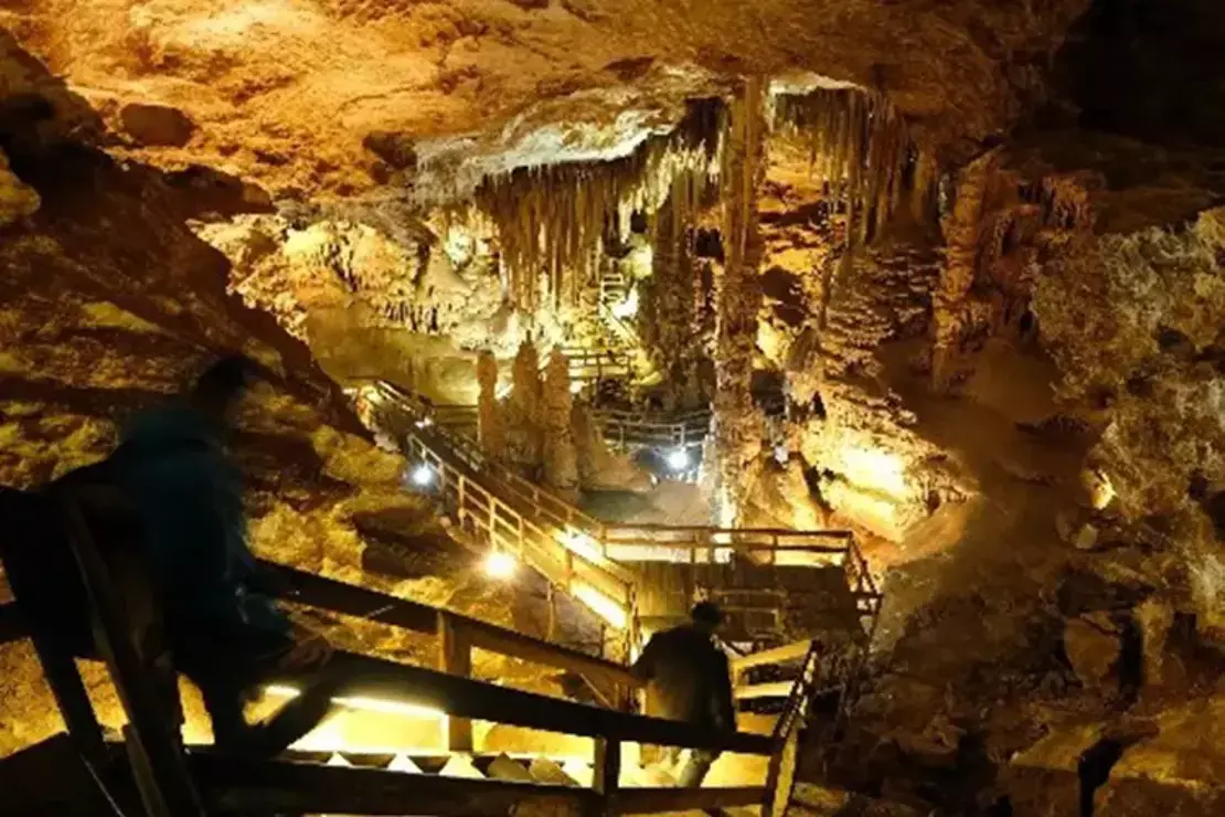
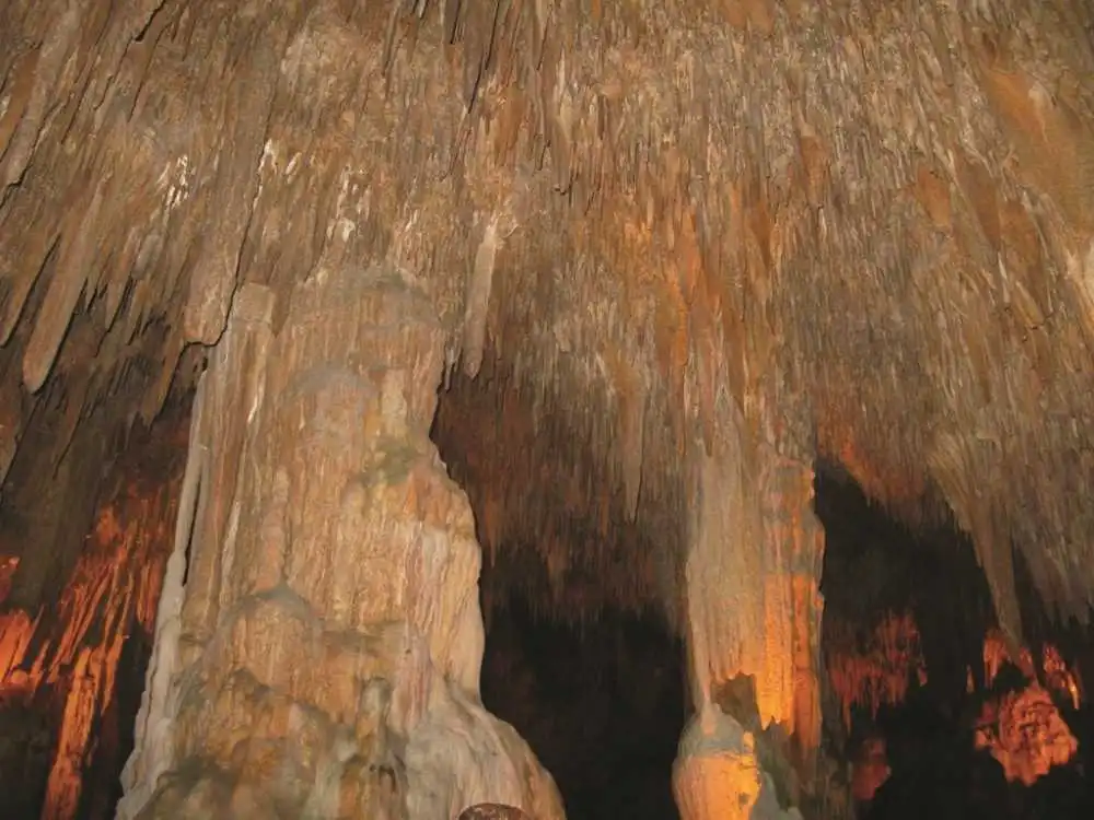
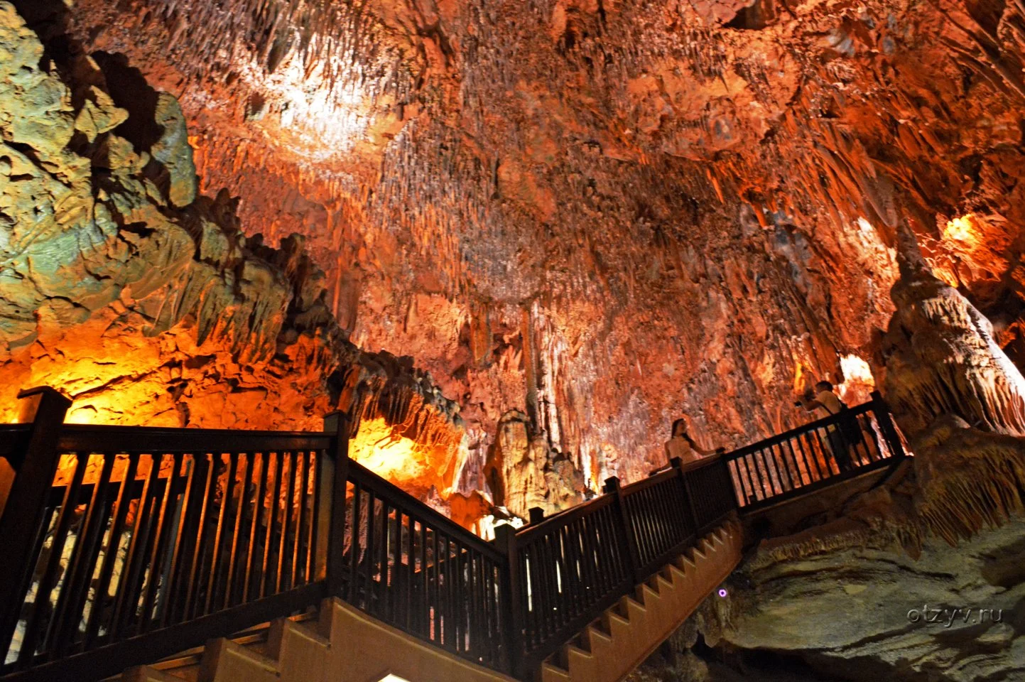
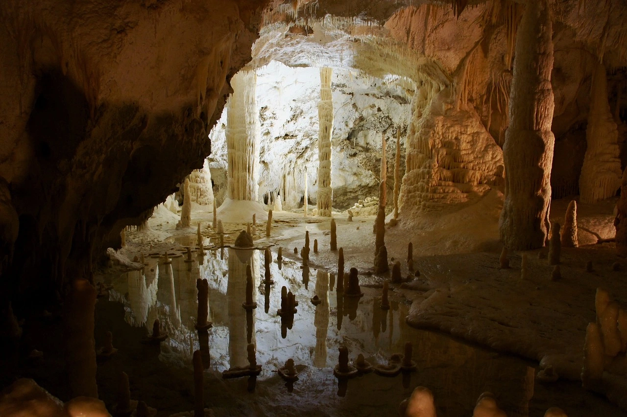
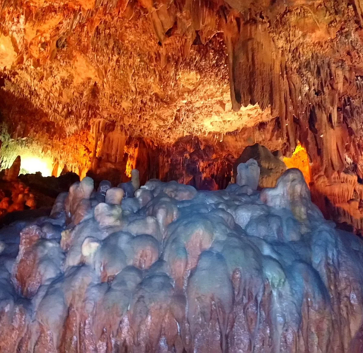
The cave is located in Alanya and by the sea. It is 3 km. away from the center. The cave; which has a total length of 30 m; is of dry and horizontal cave type. It covers an area of 200 meters.

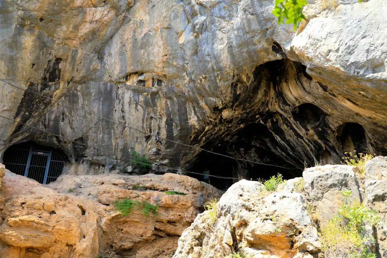
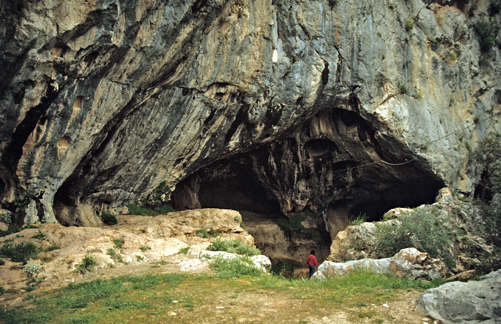
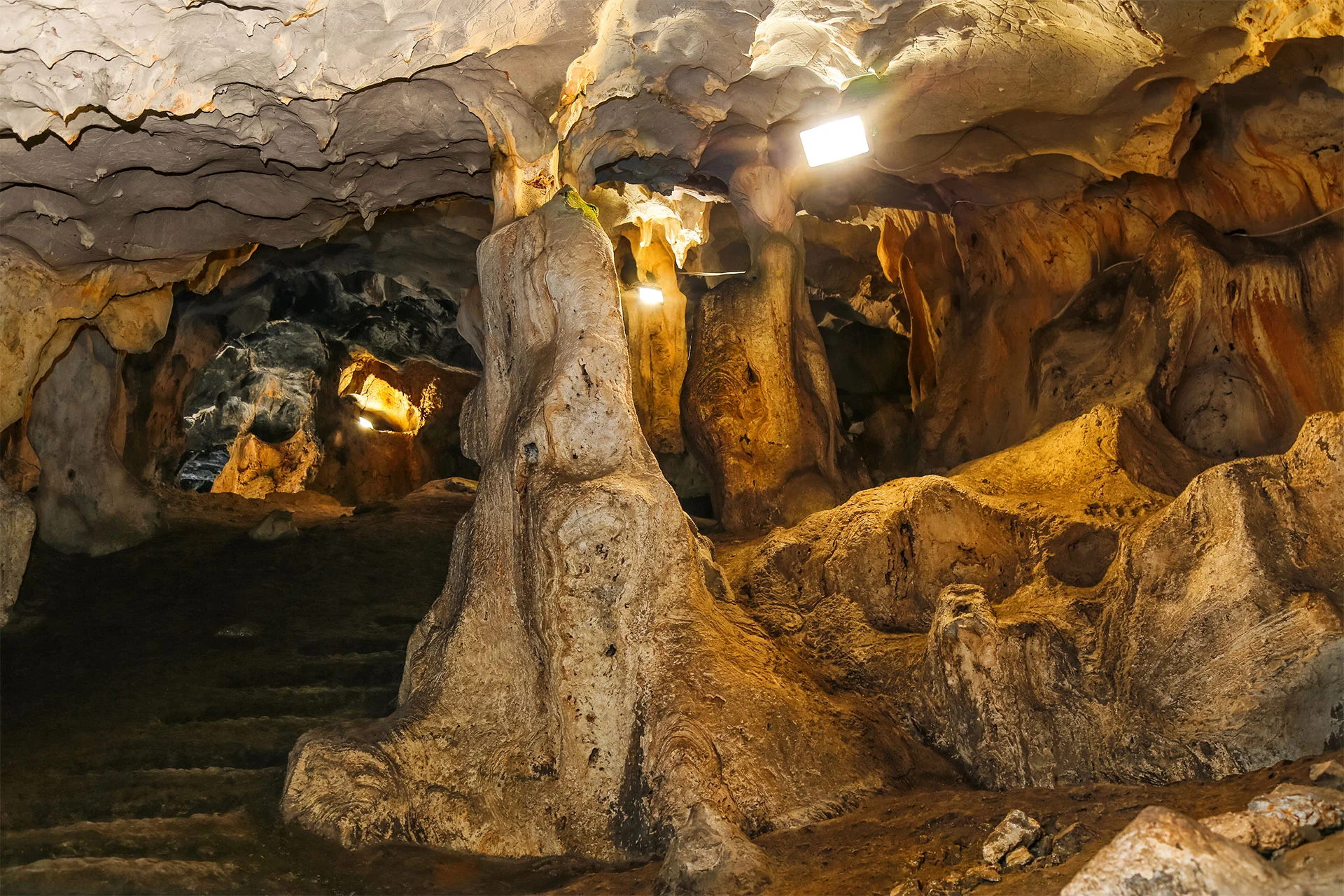
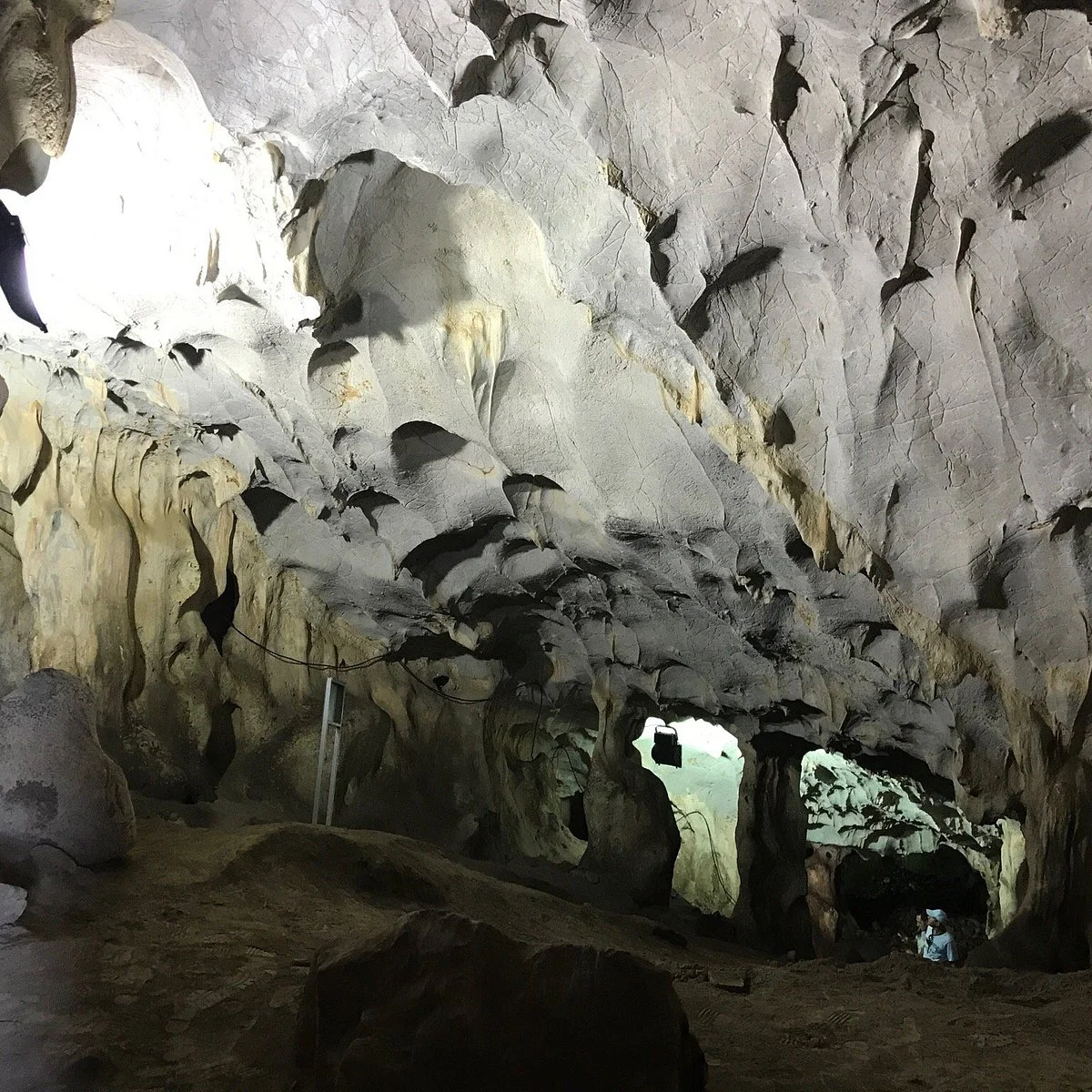
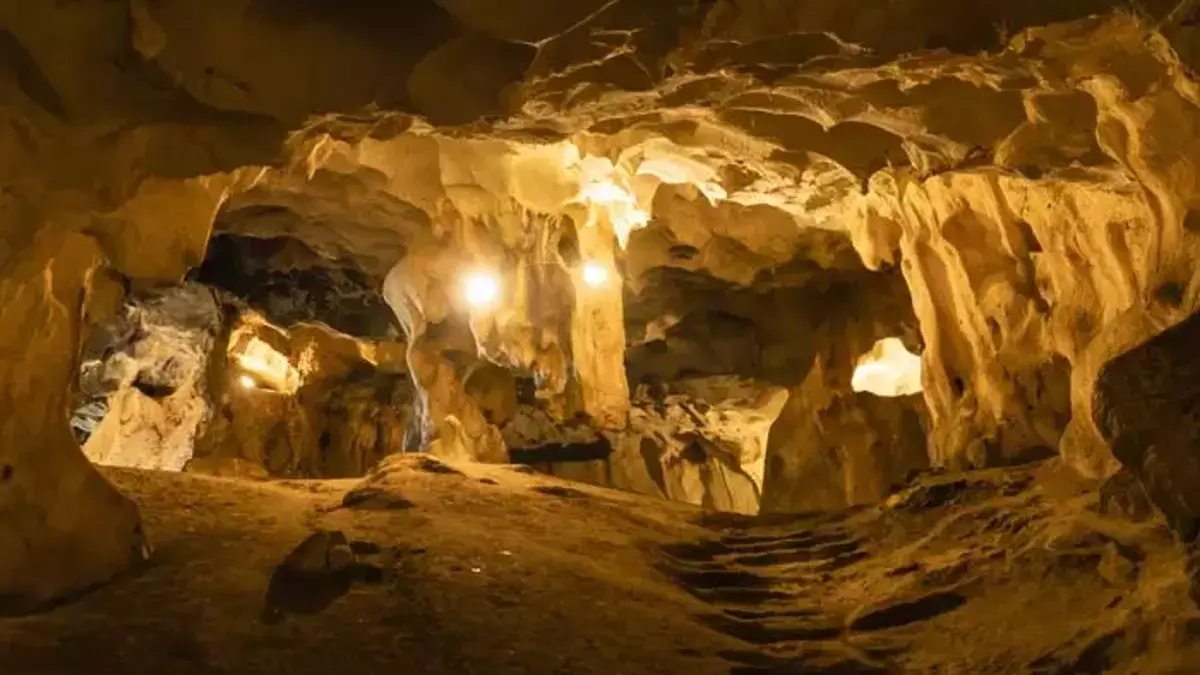
30 km from Antalya. 5-6 km northwest of the old Antalya-Burdur highway. It is located within the borders of Yağca village. Karain Cave, one of the largest natural caves in Turkey, is 150 meters from the travertine plain in front of it and 430-450 meters from the sea. is in height.
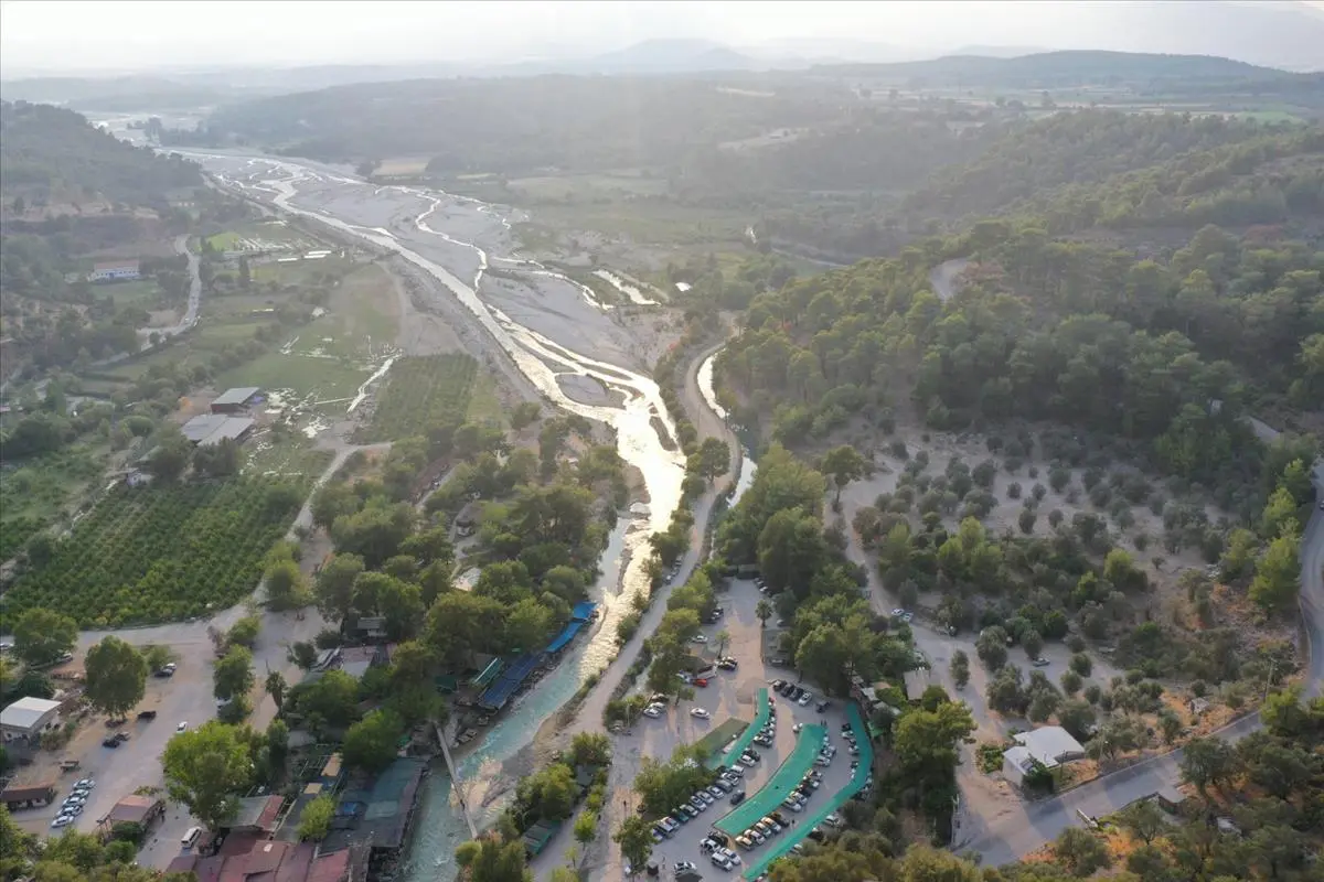
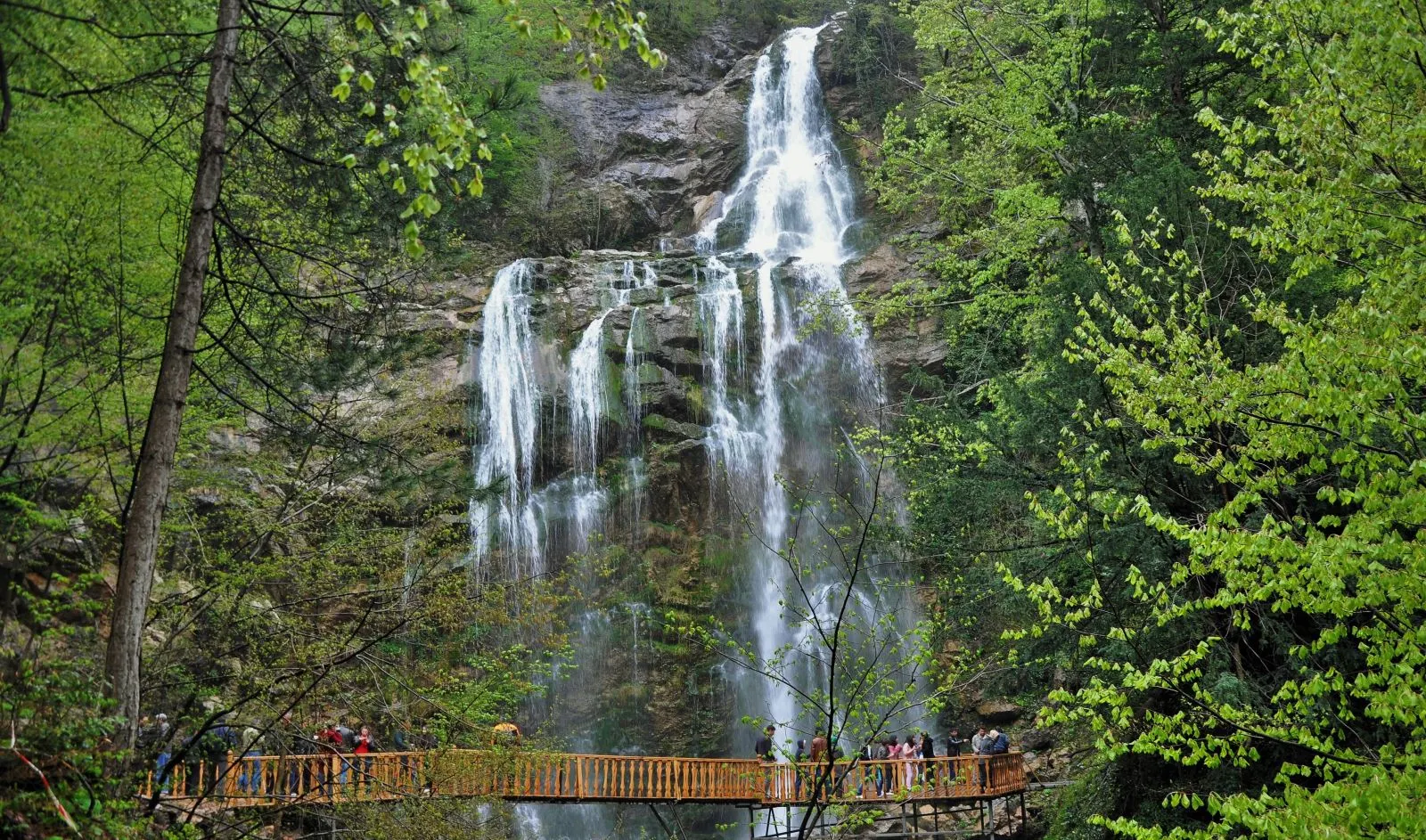
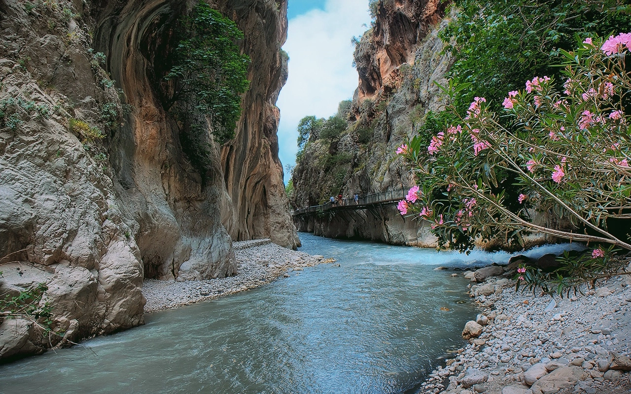
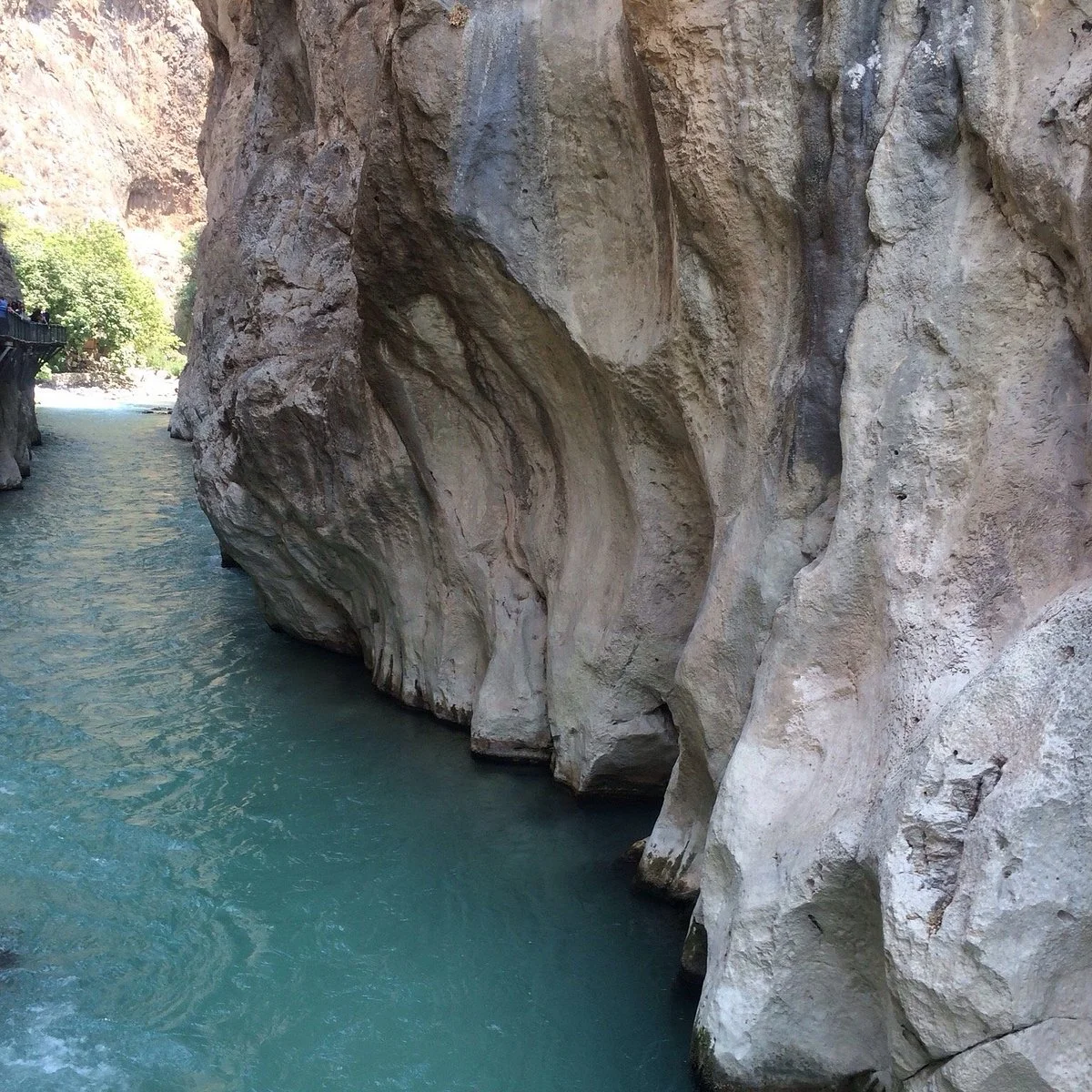
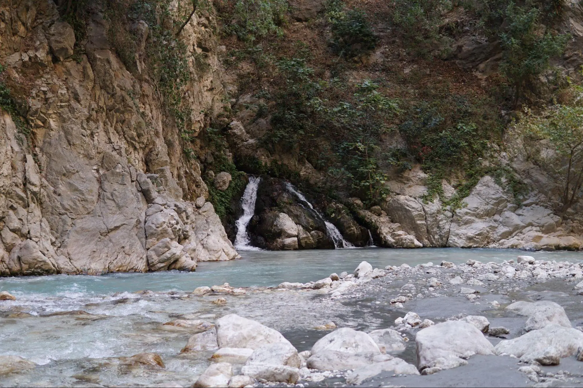
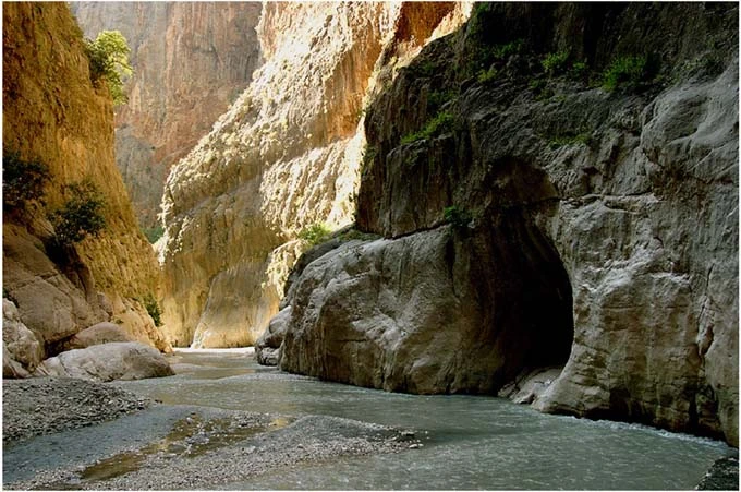
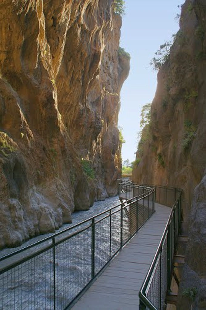
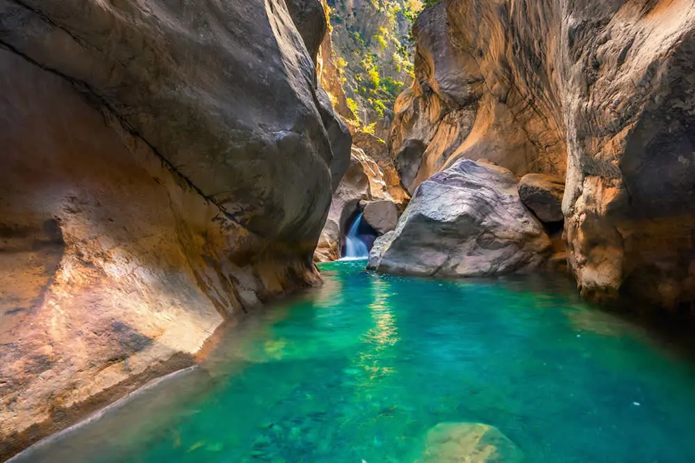
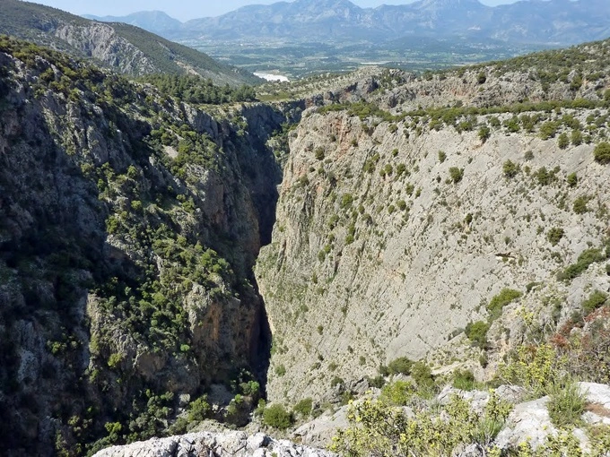
The main resource values of the national park are formed by the Saklıkent Canyon, which is 1000-1100 m. high and has very steep valley slopes. Especially in Saklikent Canyon, it is observed that some sections contribute to the formation of the canyon as a result of the collapse of karst tunnels.
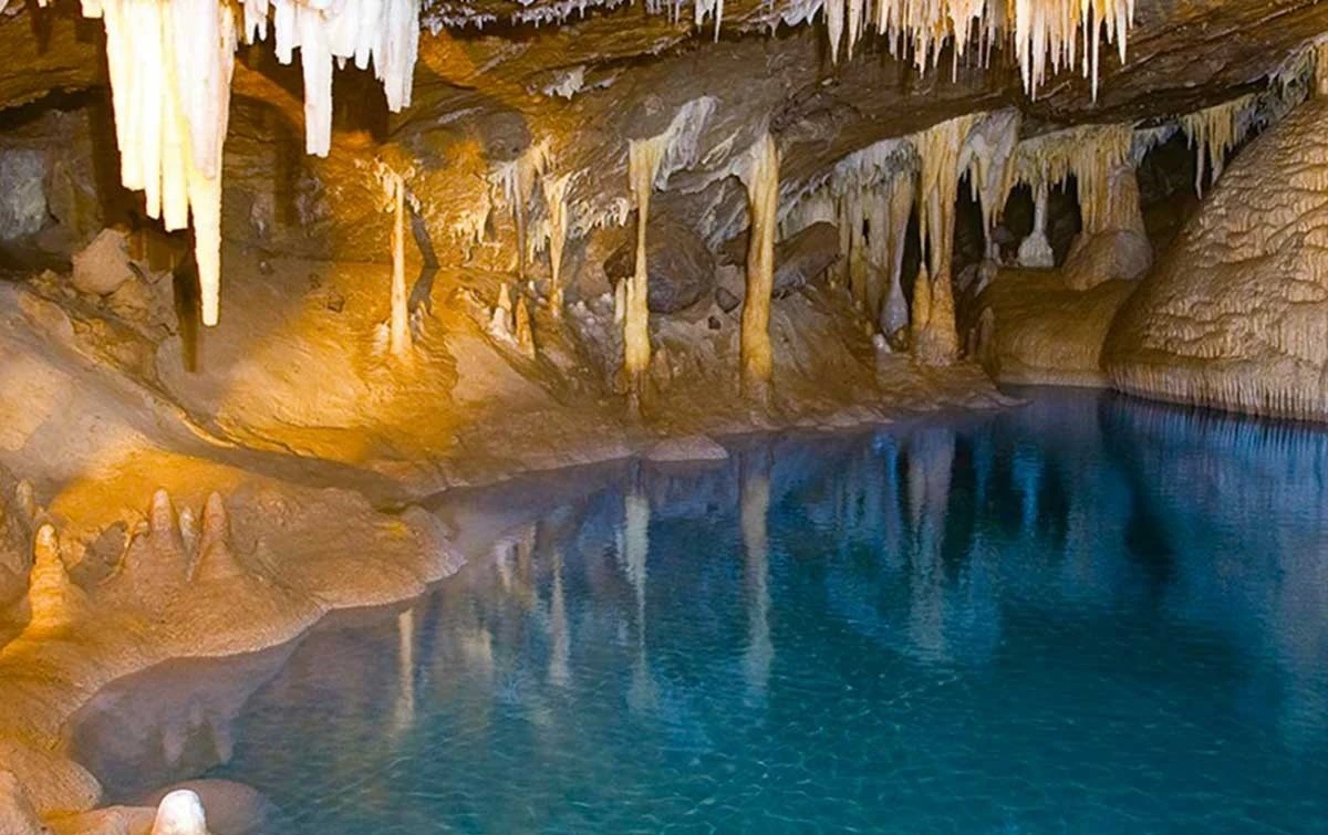
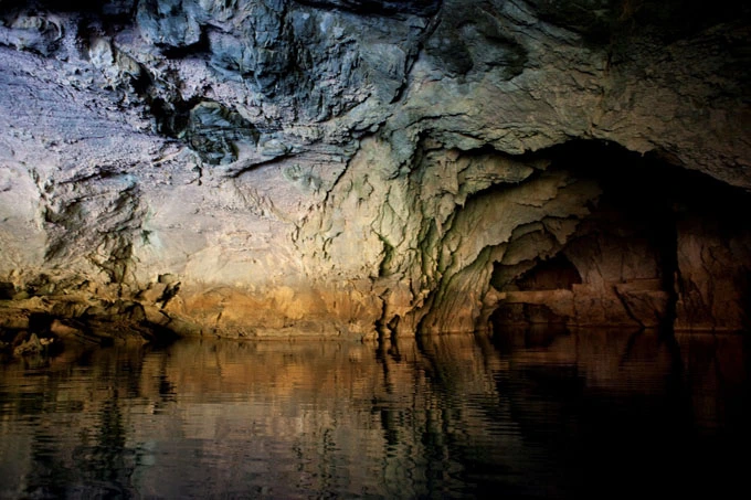
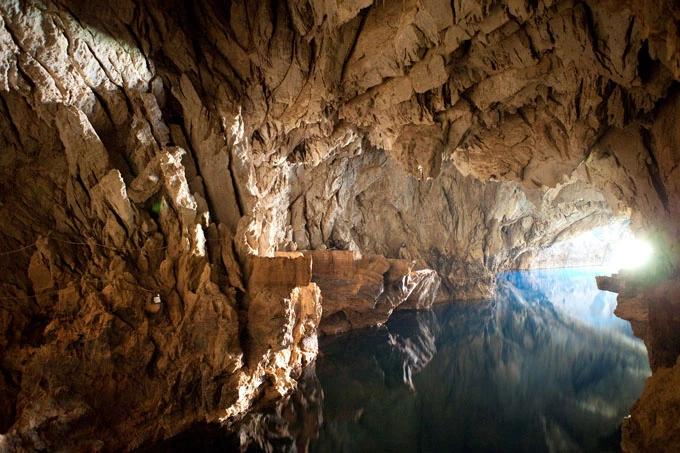
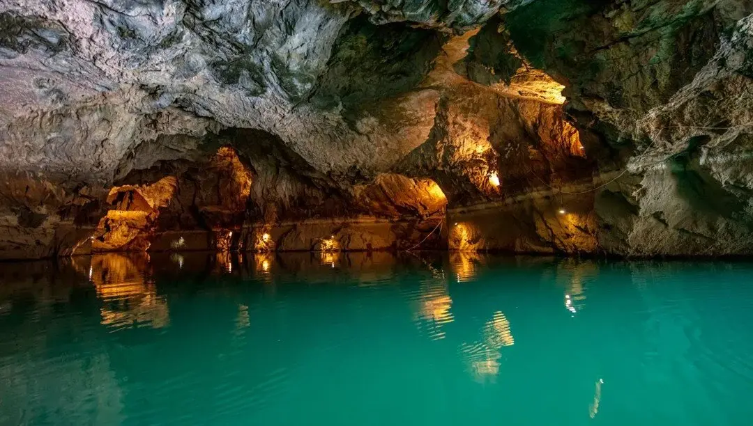
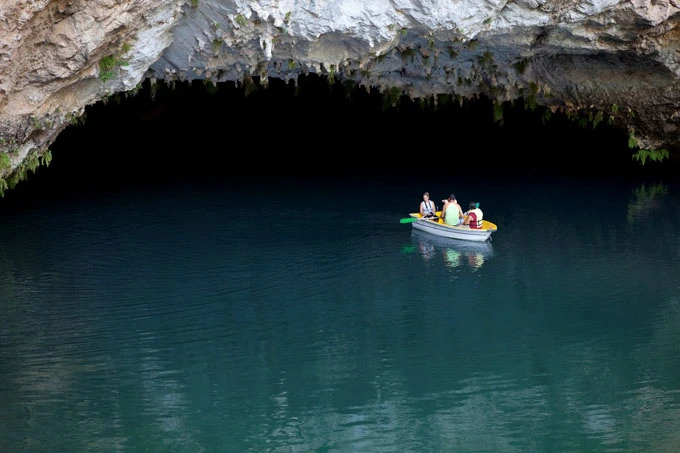
The area where the cave is located and the area around the Manavgat River, where the water from the cave flows, has been home to ancient settlements throughout history, and many historical ruins in the surrounding area offer clues about human life from the past to the present.
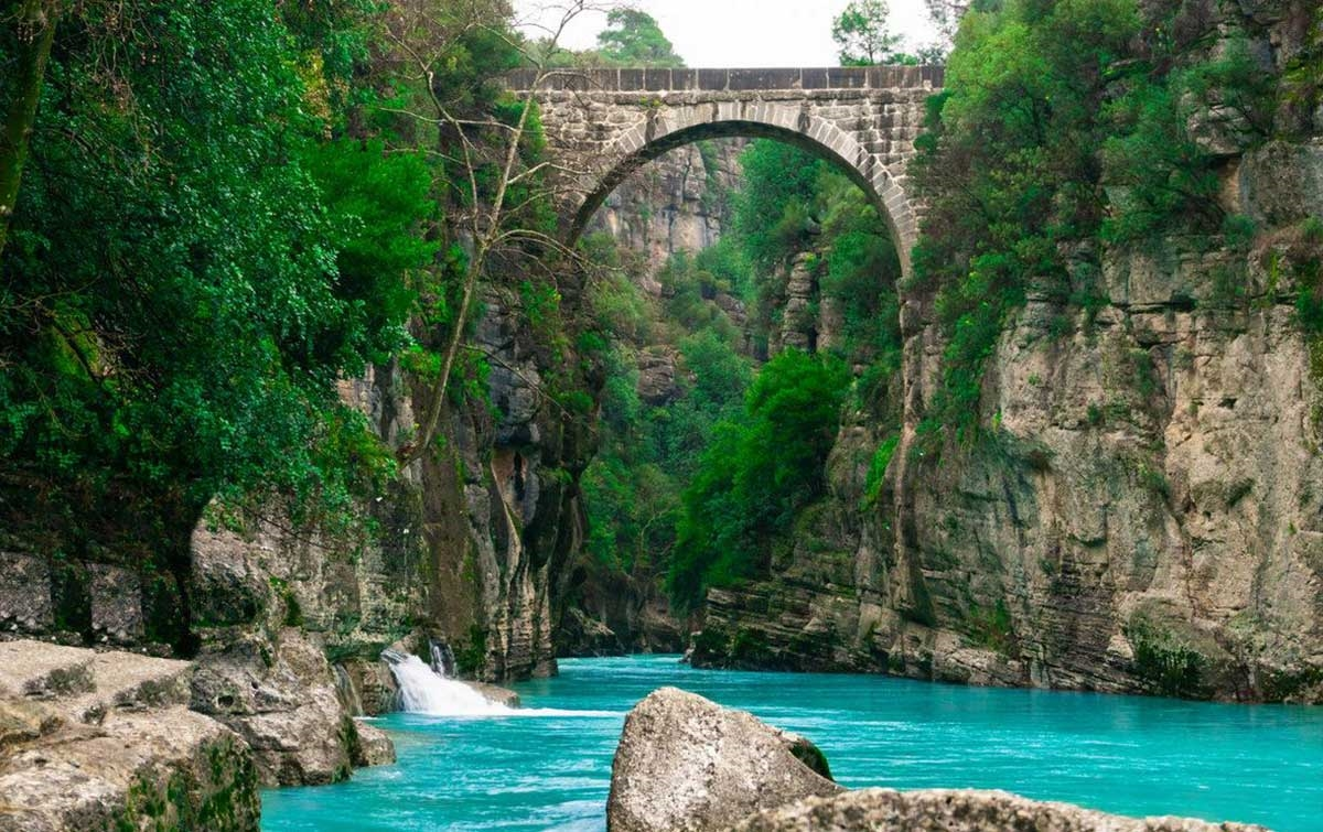
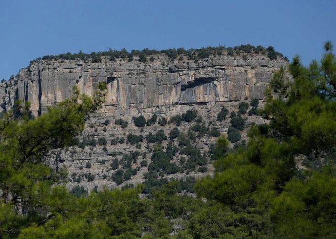
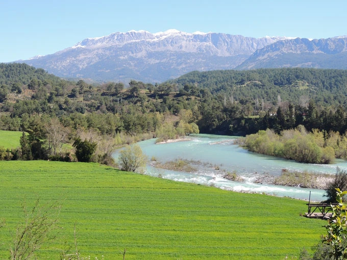
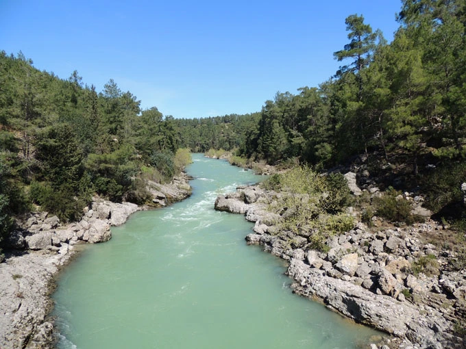
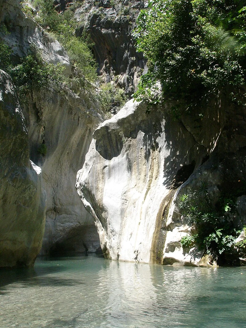
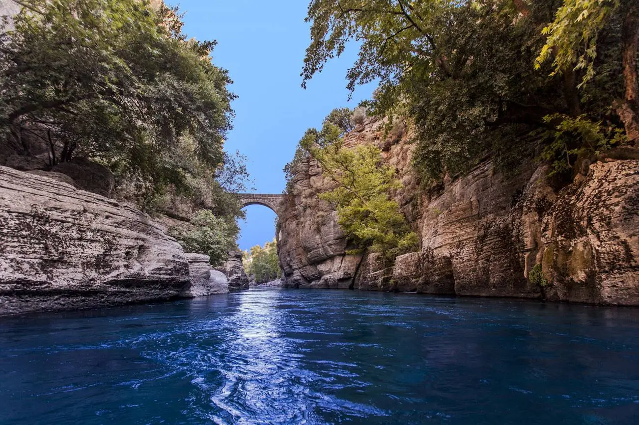
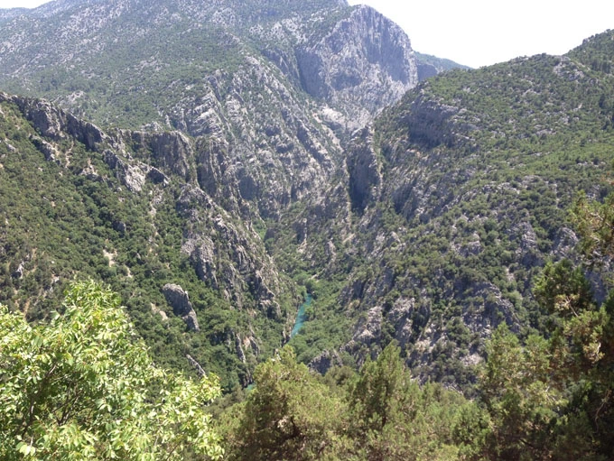
The geological structure of the region consisting of clay, sandstone, conglomerate and limestone rocks allows the formation of karst landforms. The rift valley formed by the Köprü River, which is the main source of the national park, between Bolasan Village and Beşkonak is the longest canyon in our country with a length of 14 km and walls exceeding 100 meters.
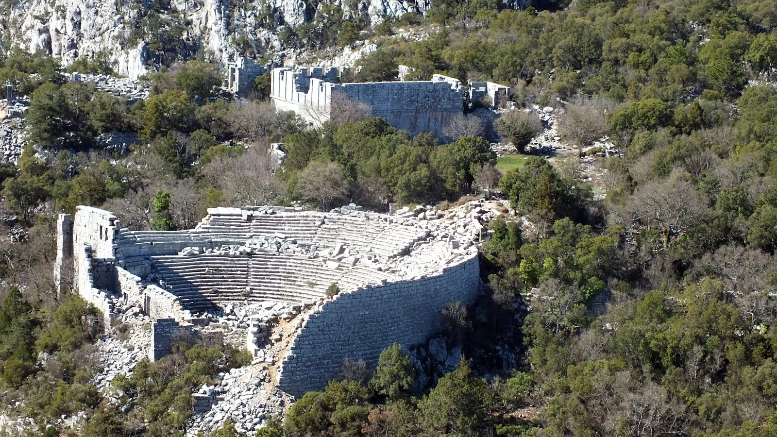
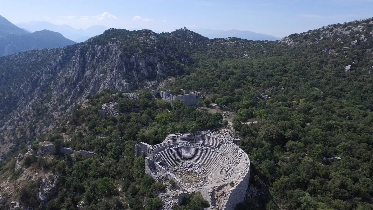
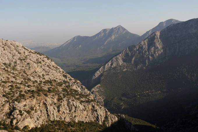
The steep cliffs of Güllük Mountain and the Mecine Canyon, whose walls rise up to 600 m, are the most important geological resource values.
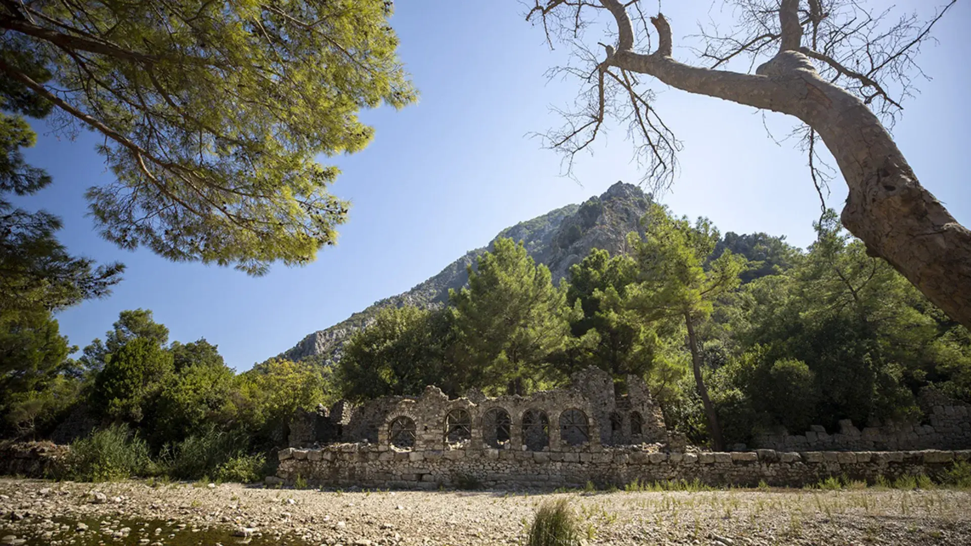
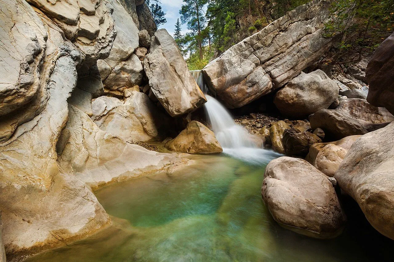
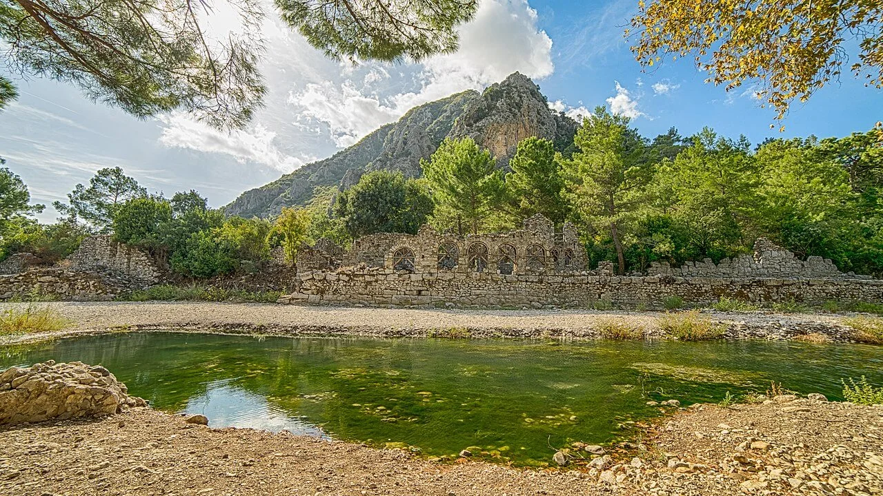
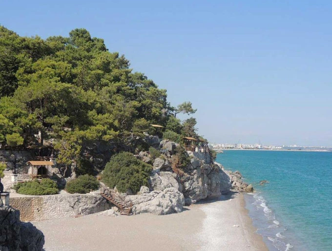
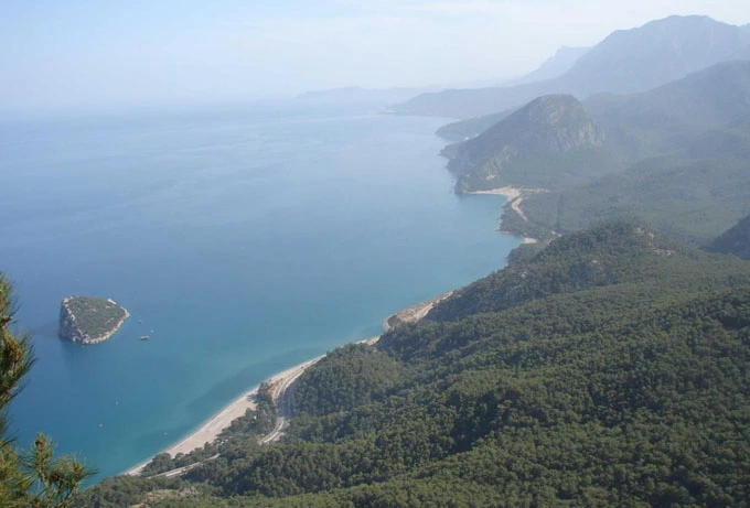
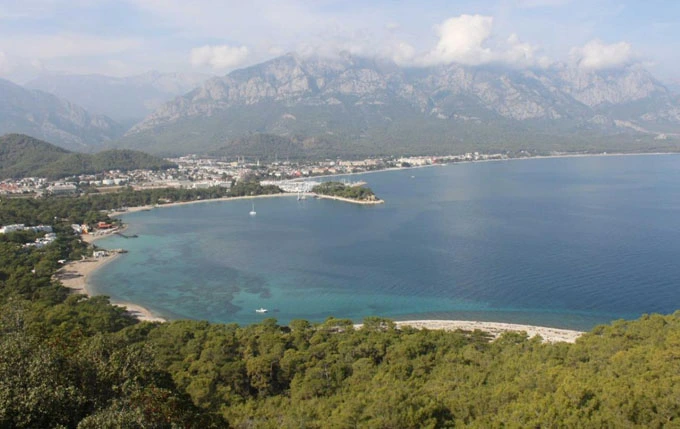
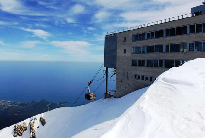
The geological structure of the region, which includes the Young Mountains belt of the Western Taurus Mountains, is generally composed of limestone and serpentine rocks. In the mountainous terrain a few kilometers west of Olympos, the natural gas coming out of the cracks in the contact of limestone and serpentine formations and called the "Unquenchable Fire of Lycia" has been burning for centuries and has been passed into the mythos of Bellerophontos under the name of Chimaira (Burning Stone), giving mythological value to the region.
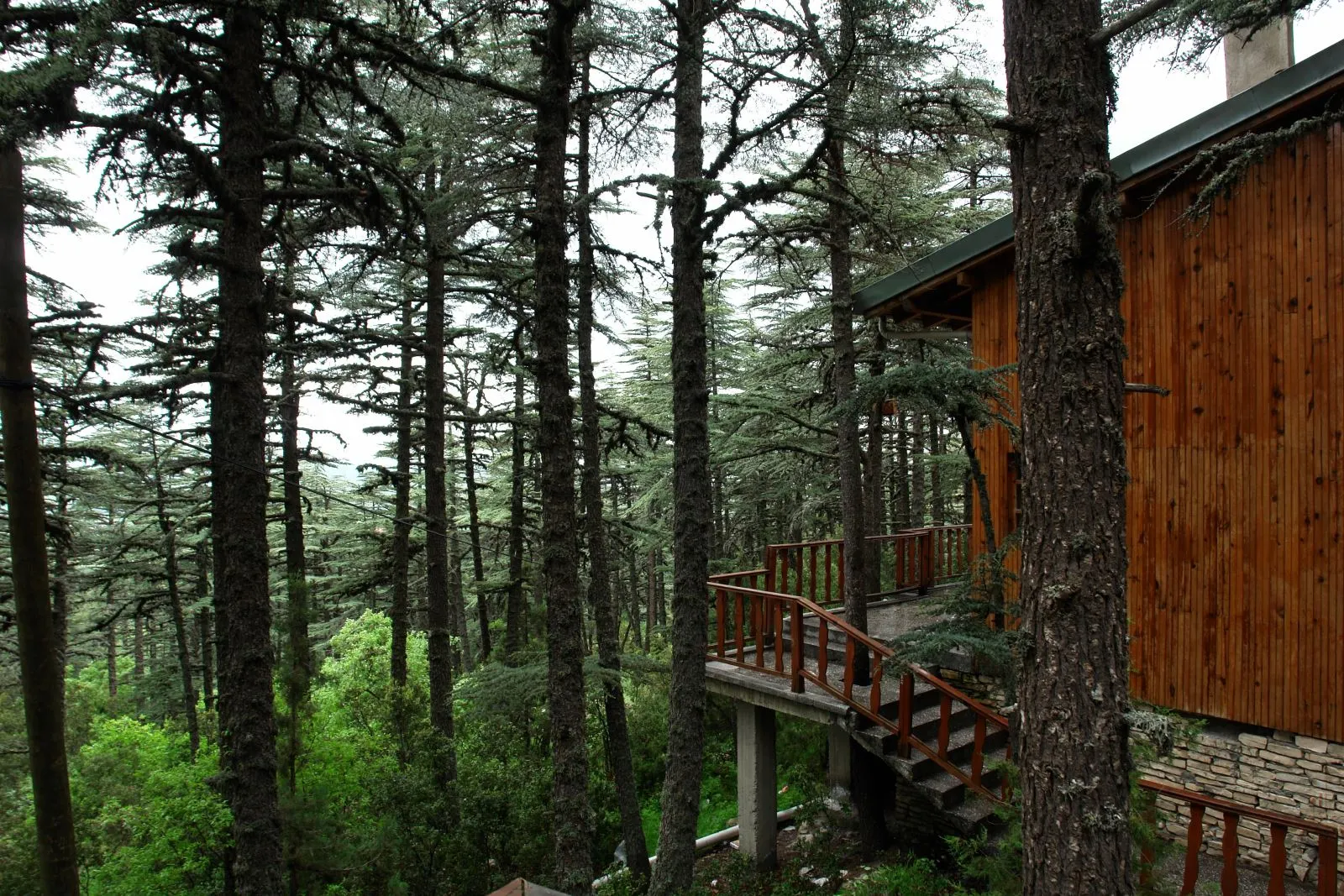
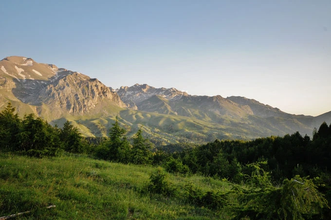
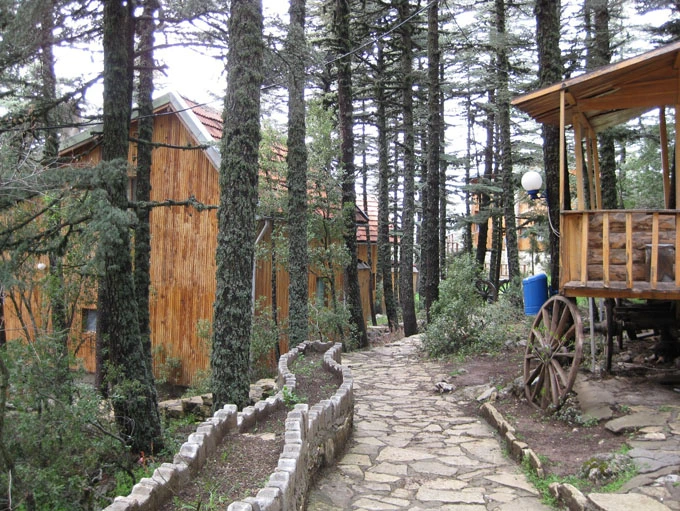
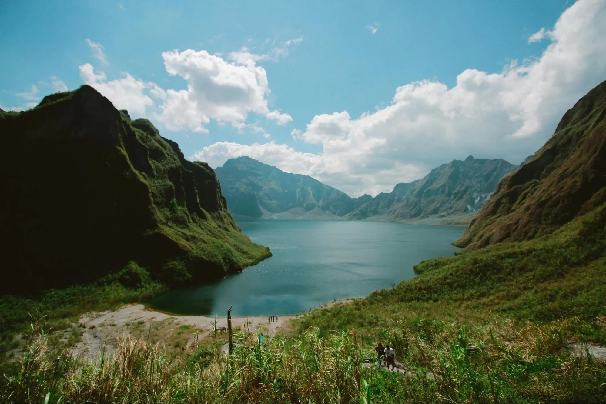
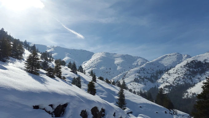
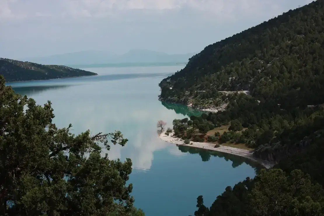
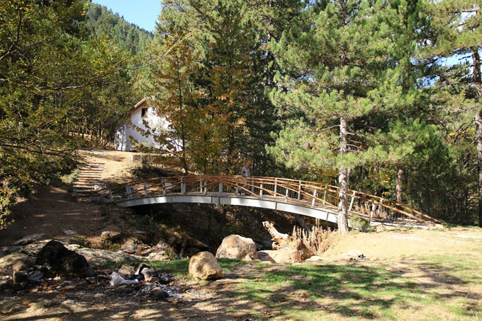
Its geological structure consists of limestones and karstic landforms. Tectonic movements have a role in the formation of Beyşehir Lake, which is a karstic polye.
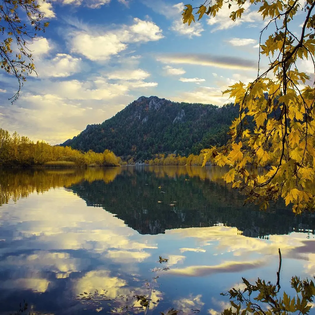
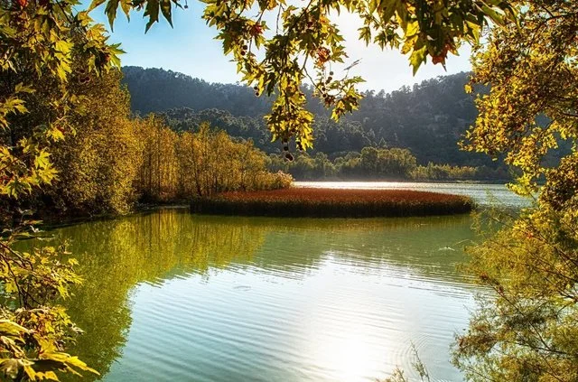
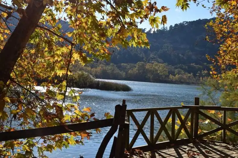
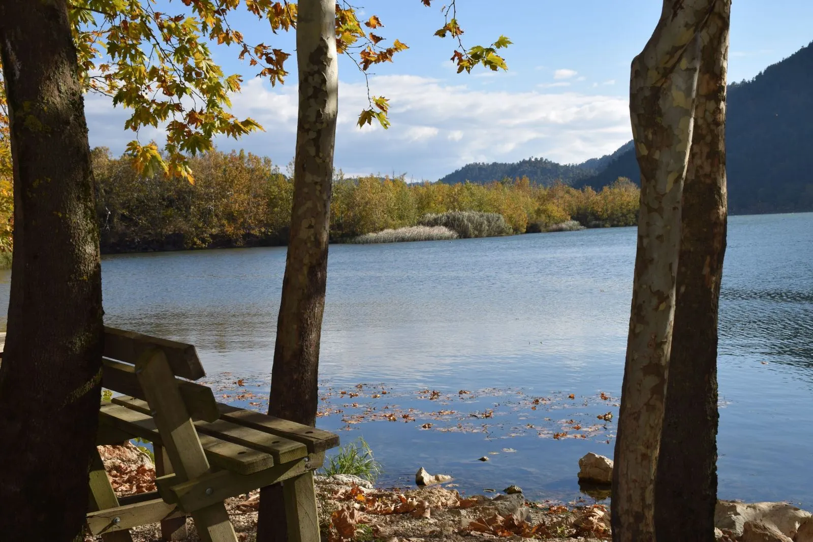
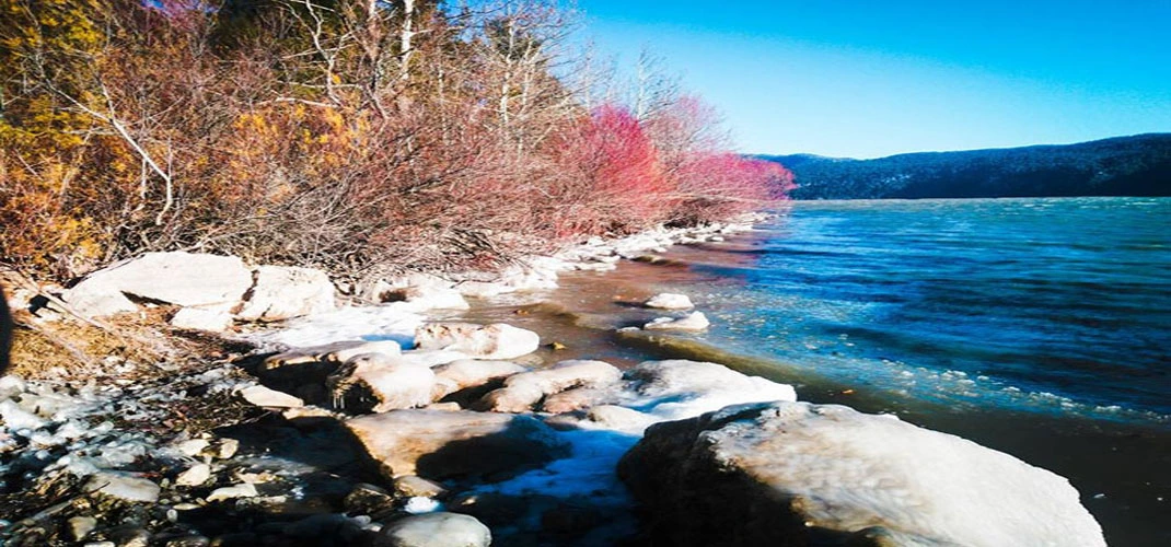
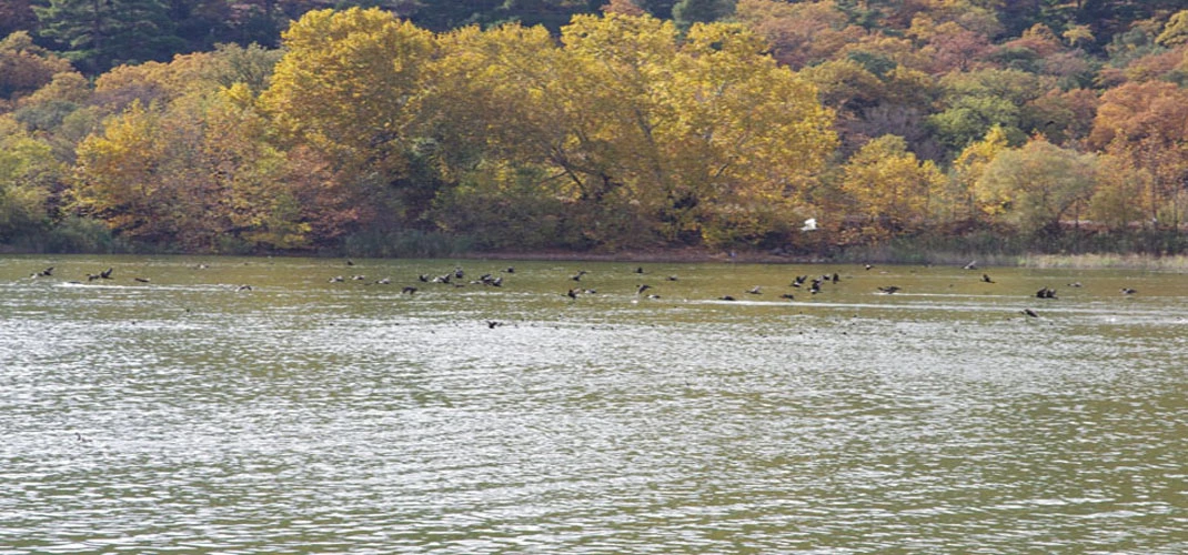
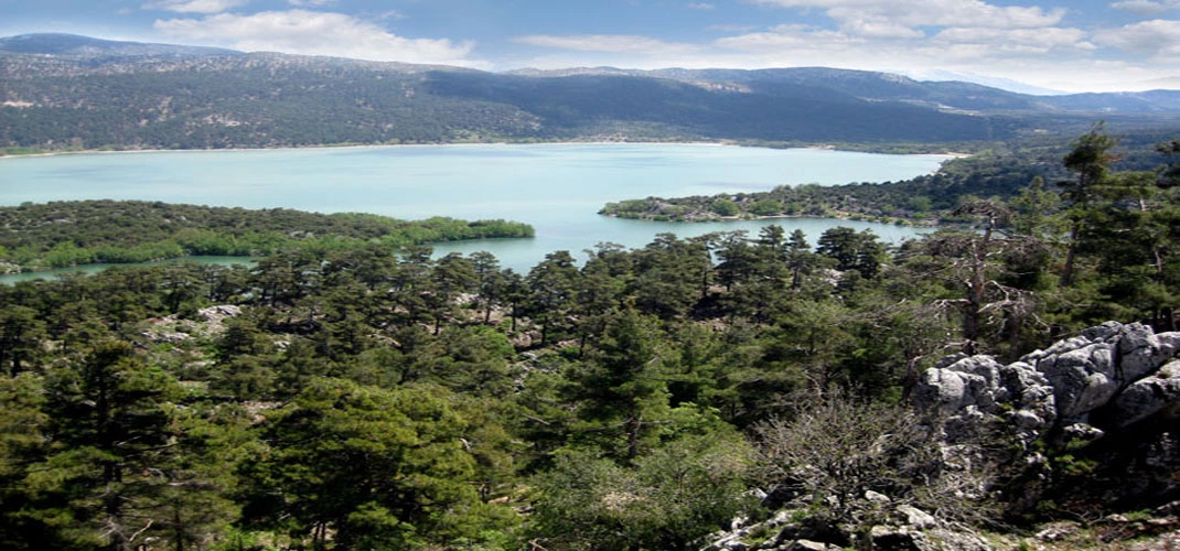
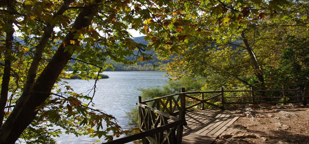
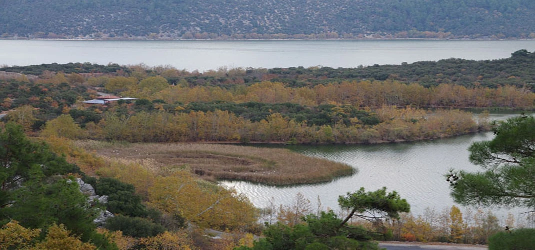
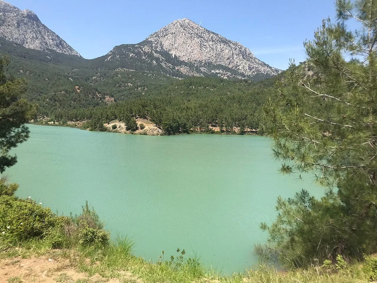
The deepest part of the lake today is 7 m. is. The sediments in the water that give the lake a green color prevent the bottom of the lake from being seen. Although there are no signs of ancient civilizations in Kovada Lake National Park, there are important sites of high historical and archaeological value in the immediate vicinity. Lake Kovada is very close to the Greco-Roman Psidia.
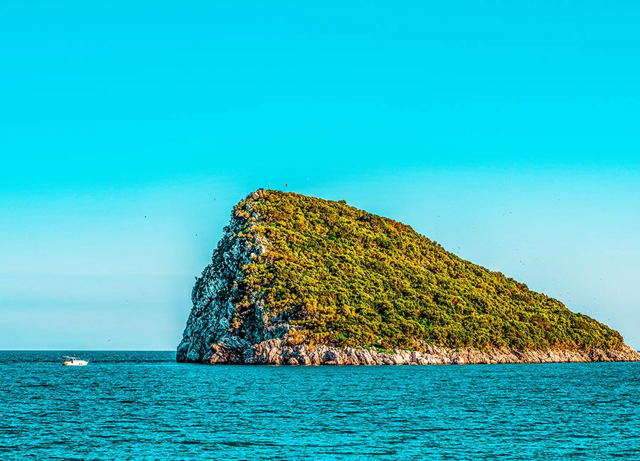
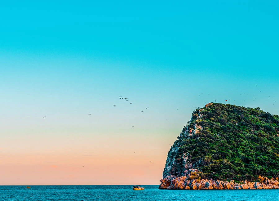
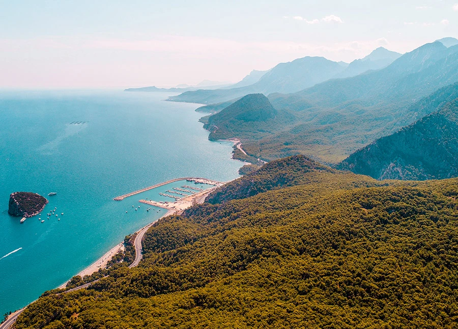
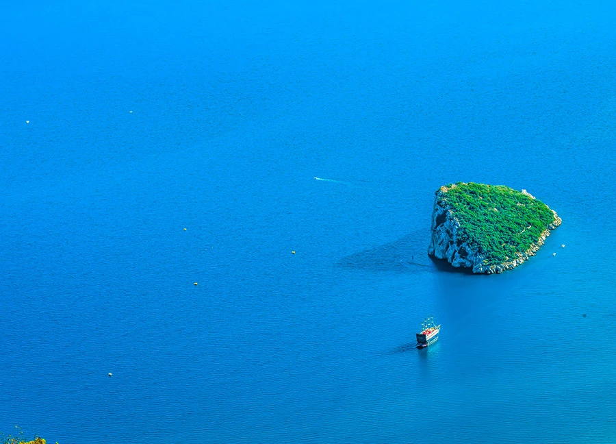
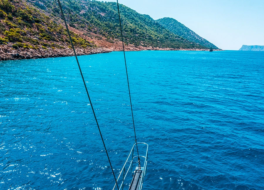
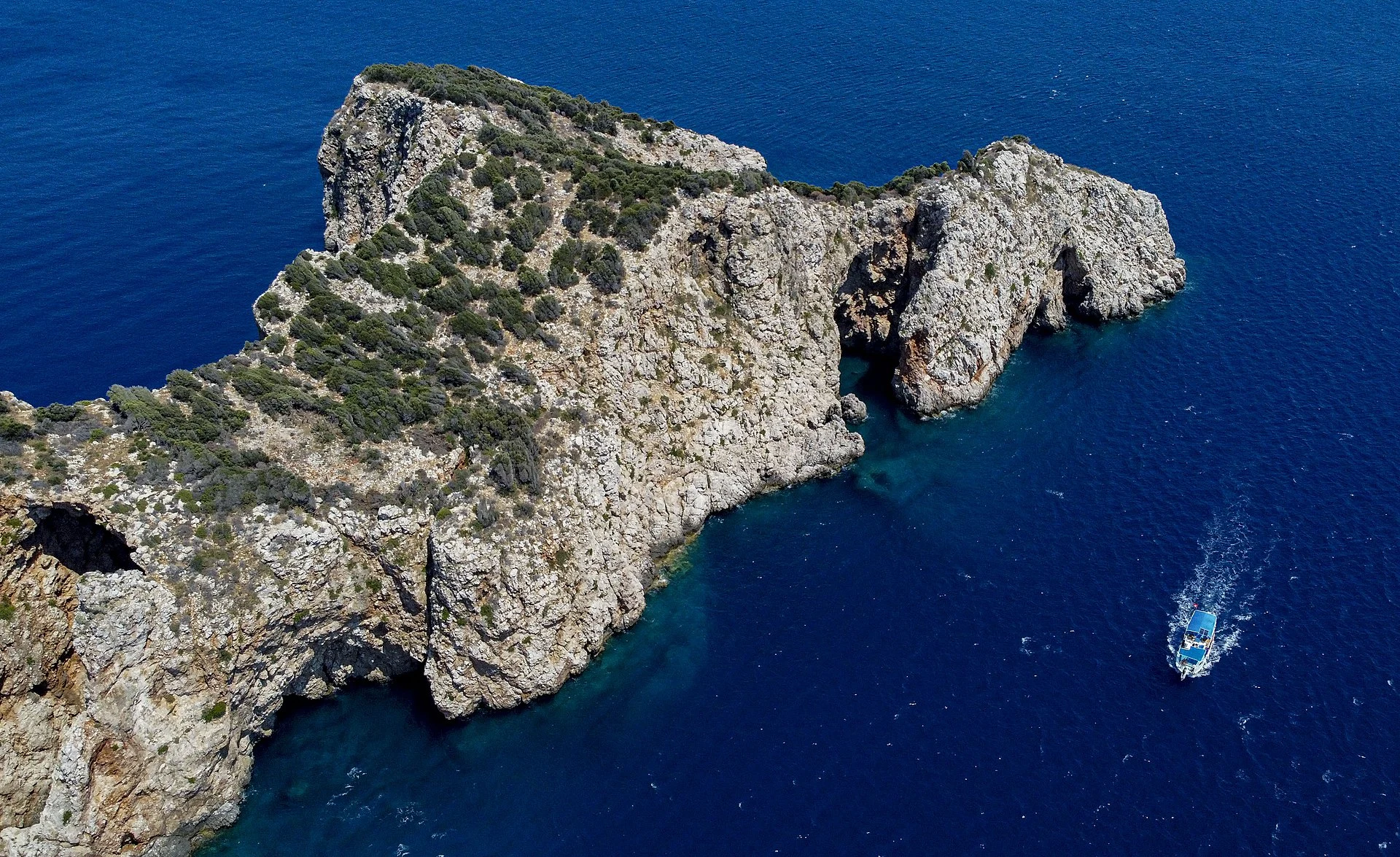
Sıçan Island is 10 km from Antalya Kaleiçi Marina. It is located between Konyaaltı and Beldibi. The island, which attracts the attention of diving enthusiasts, is also one of the base regions for boat and yacht tourism.
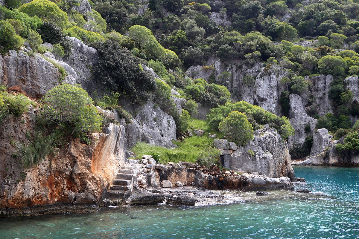
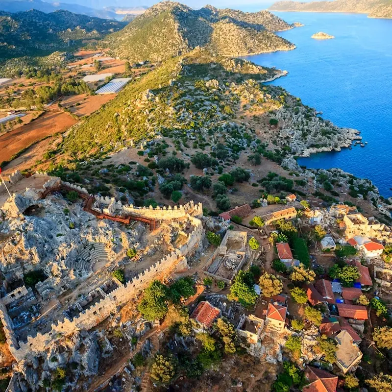
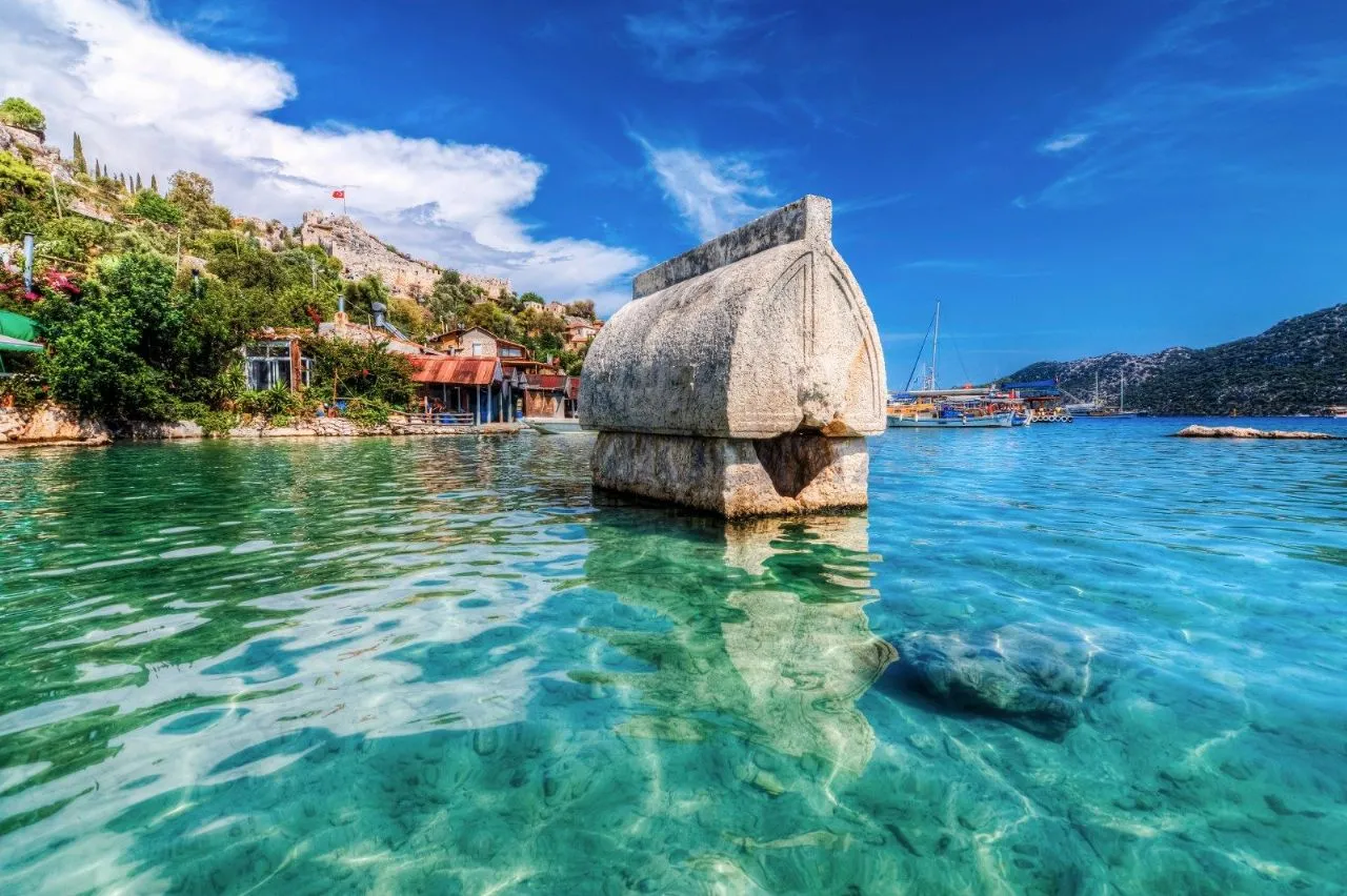
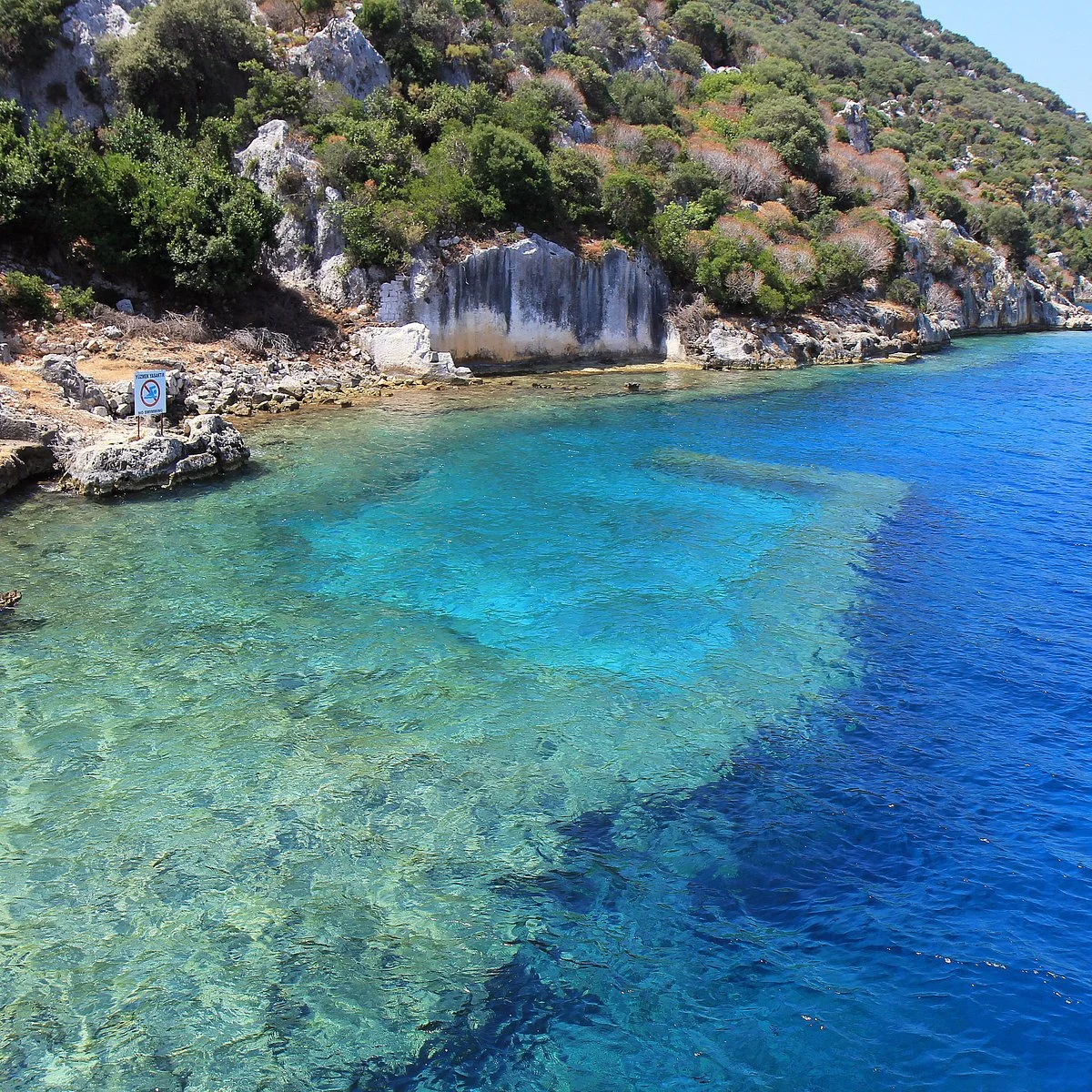
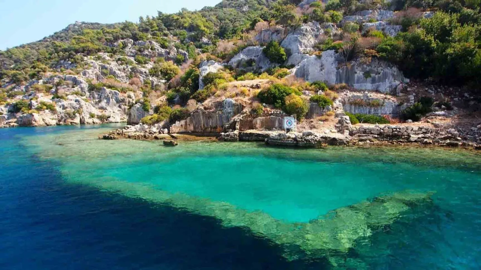
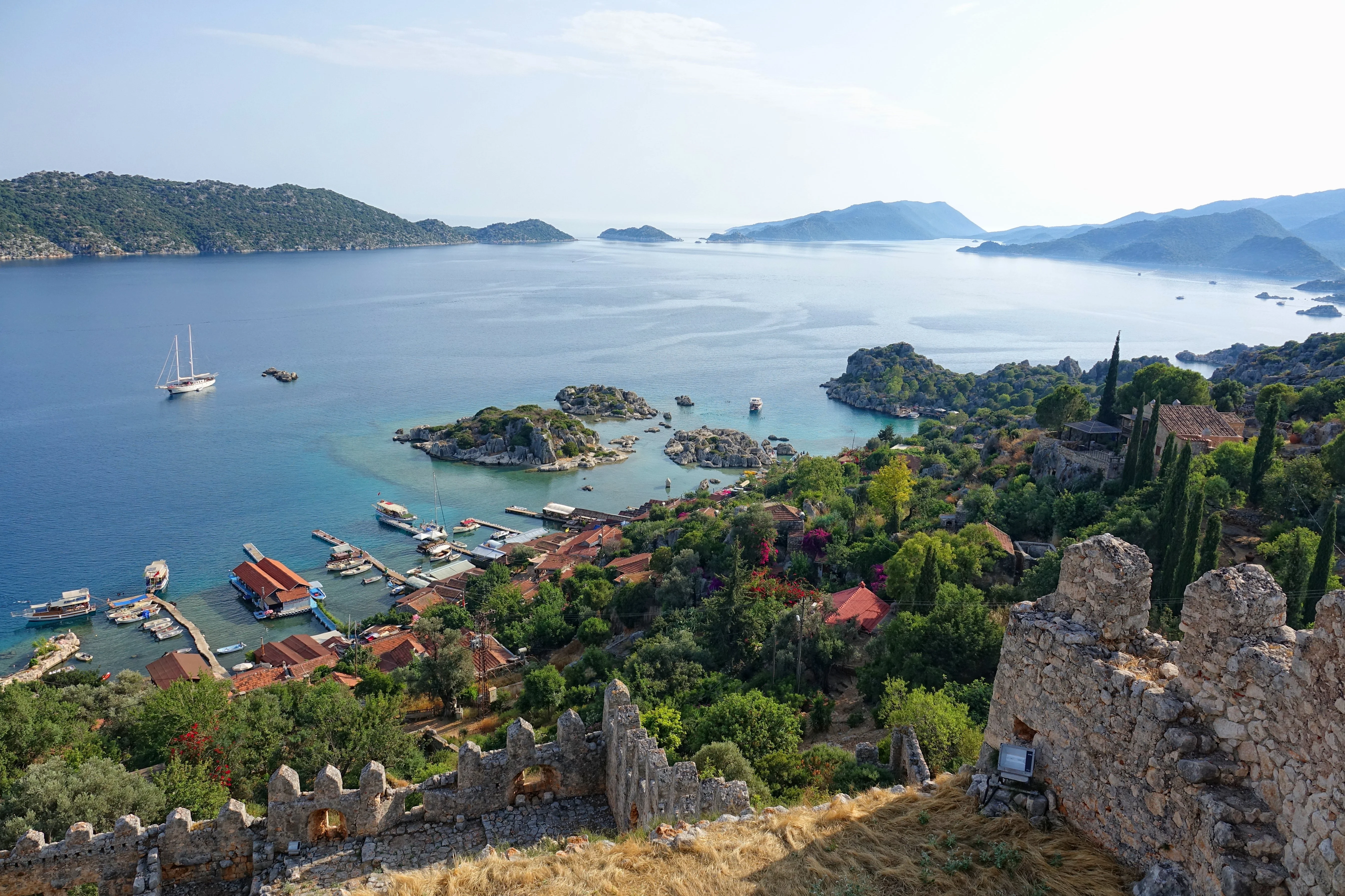
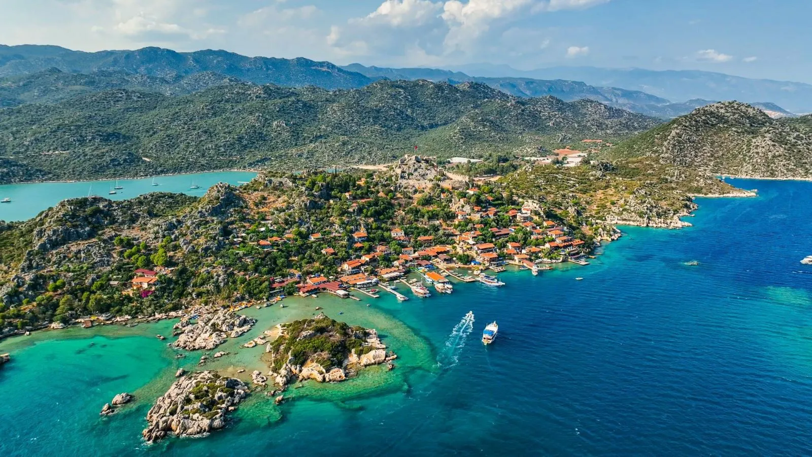
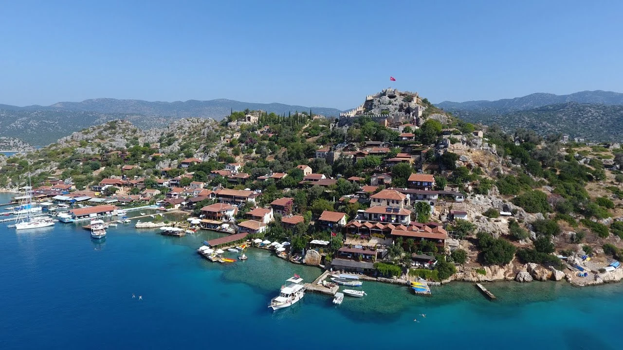
Kekova, is as small, rocky island off the coast of Kaleköy and Üçağız near the Demre district of Antalya province . It is often referred to as "Kakava" in the sources. Although it has a surface area of 4.5 km², no one lives on this island. The parton which there are hostels and cafes and which is accessible by boats is Kaleköy on the opposite shore of the island, connected to the mainland.

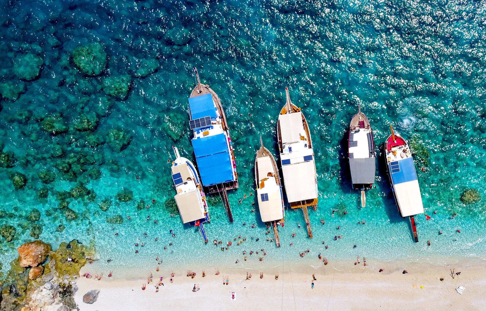
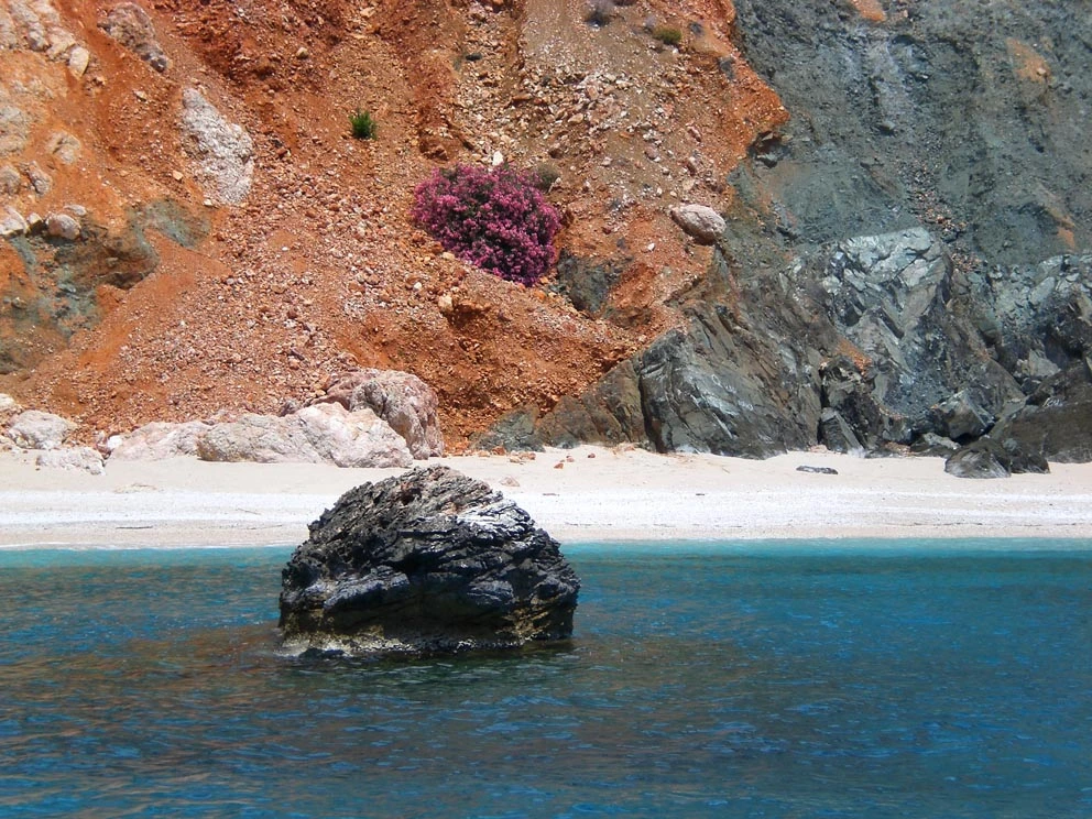
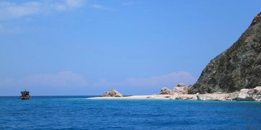
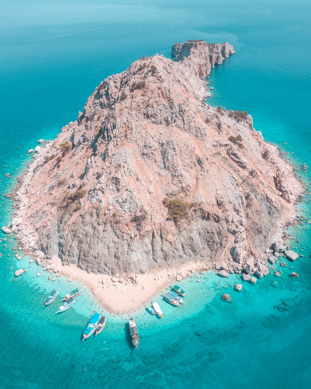
Suluada is a Mediterranean island of Turkey. The name Suluada is a composite word meaning "watery island" referring to fresh water sources of the island. In the antiquity the island was called "Krambusa".
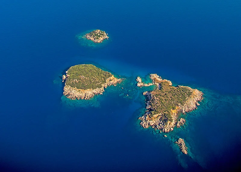
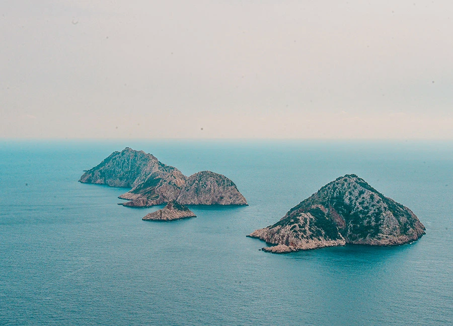
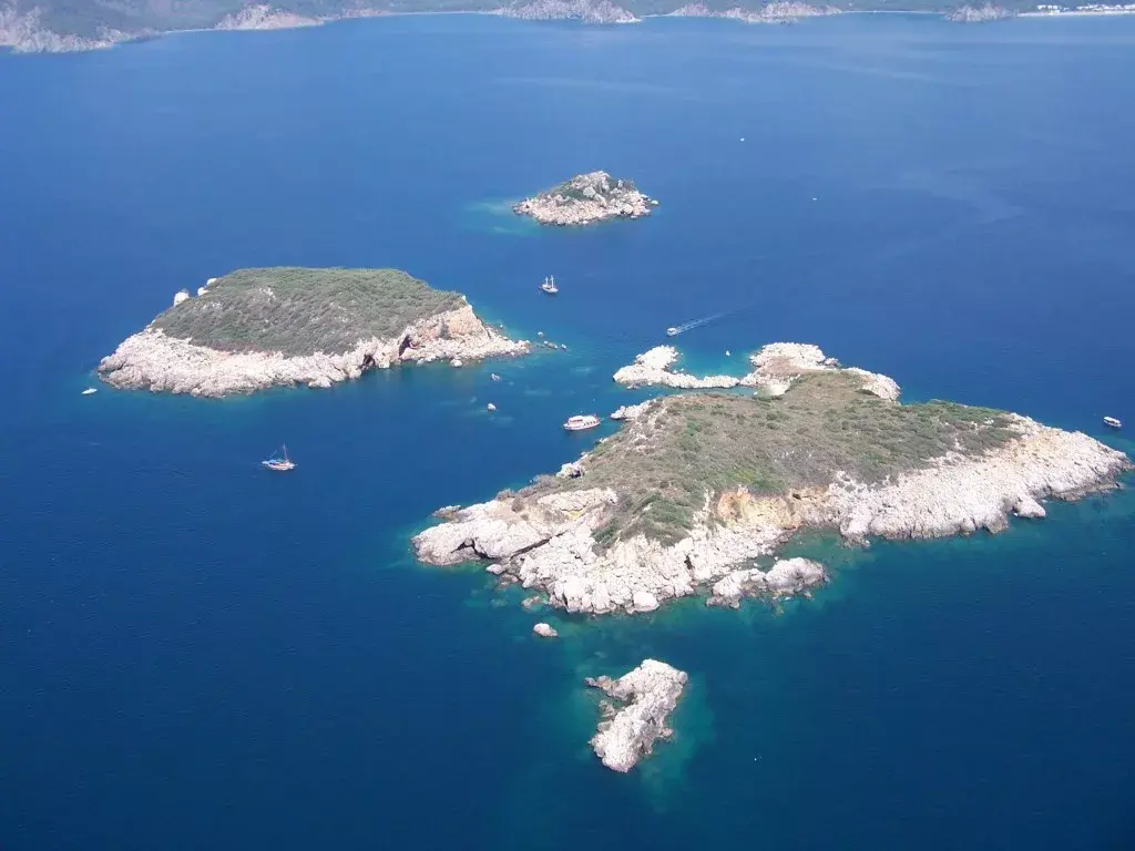
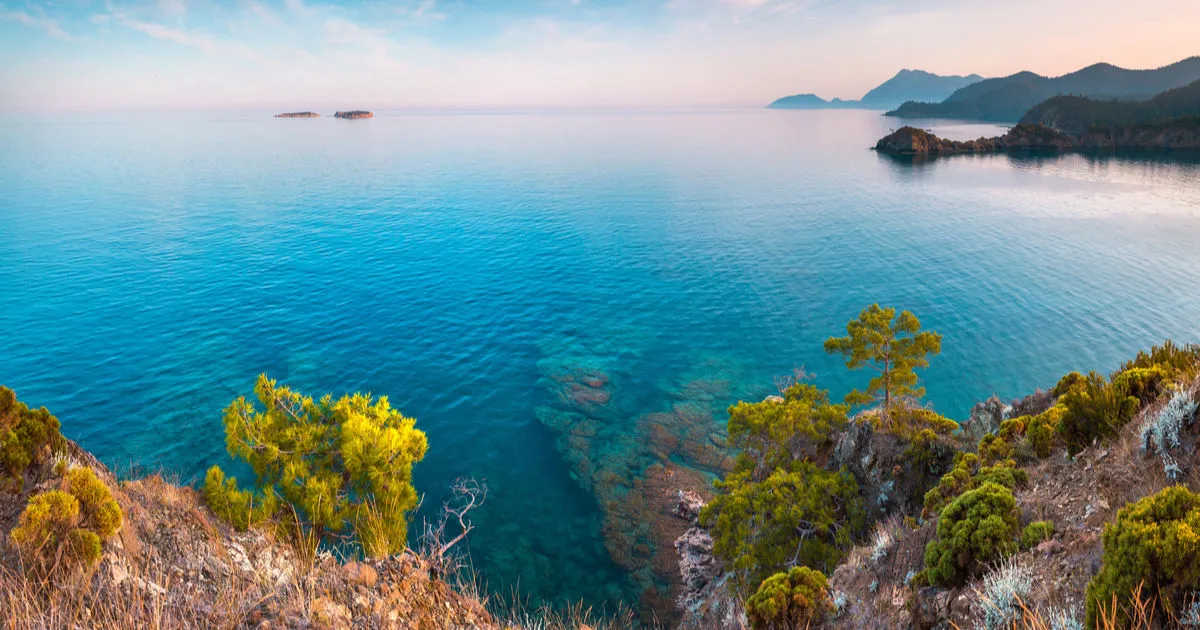
It is located nearAntalya Kemer district. There are four islands on the coast ofTekirova and their names are Seagull, Cave, Picnic and Small Island. Small Island is not visible from the coast because it is behind Picnic Island. Üç Adalar is located in the west of Antalya and is one of the rare diving centres in accordance with world criteria. This diving centre has been frequented by people who want to discover the riches of underwater.
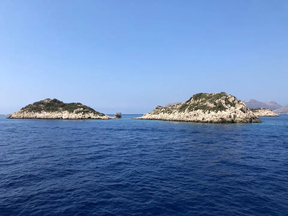
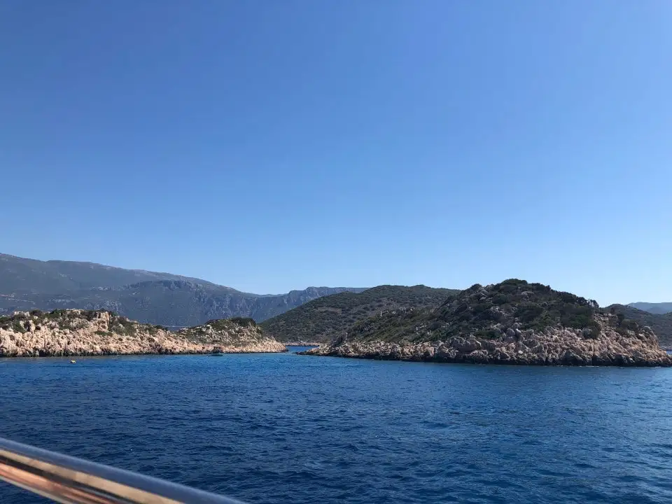
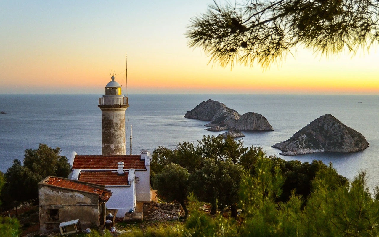
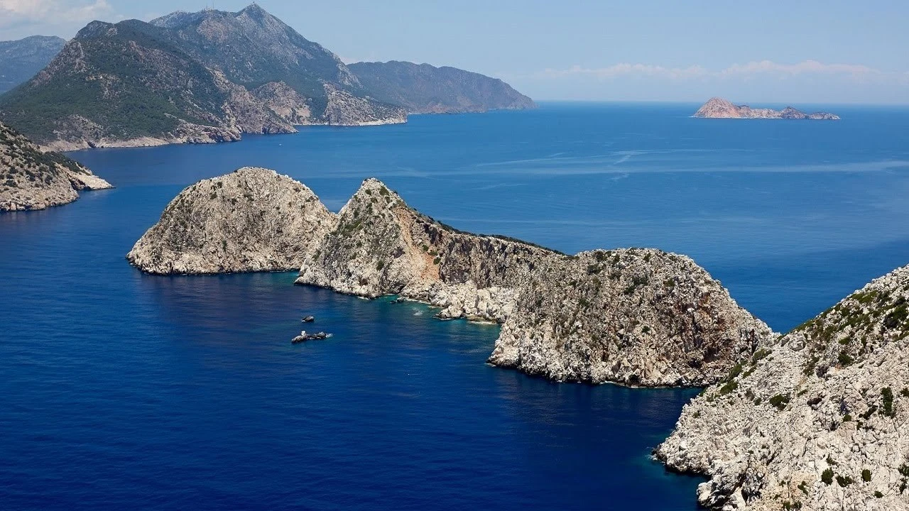
Beş Adalar or Beşadalar are islands located within the borders of Kumluca district of Antalya province. It is the continuation of Gelidonya Cape in the sea in Karaöz neighbourhood of Mavikent town. There is no settlement on the islands.

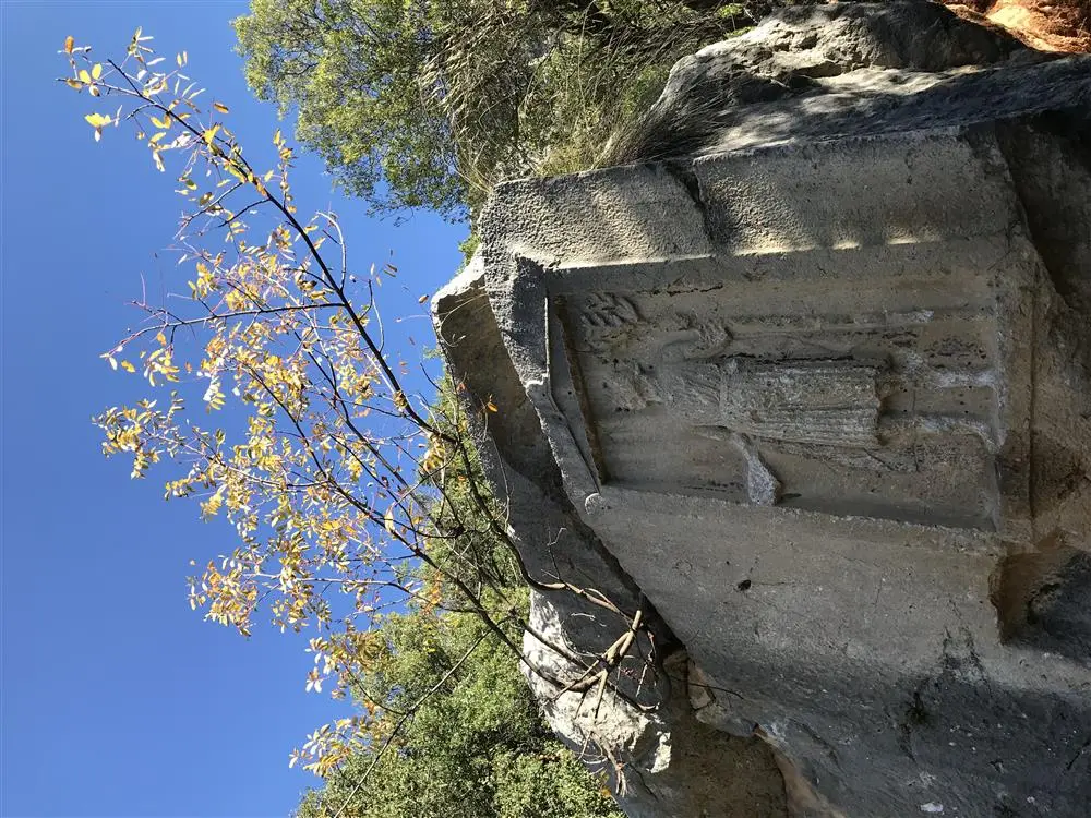
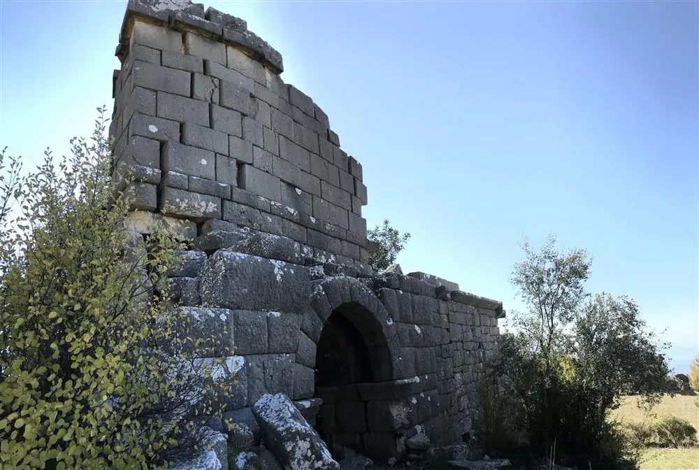
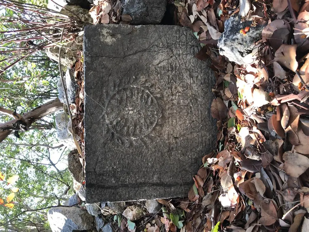
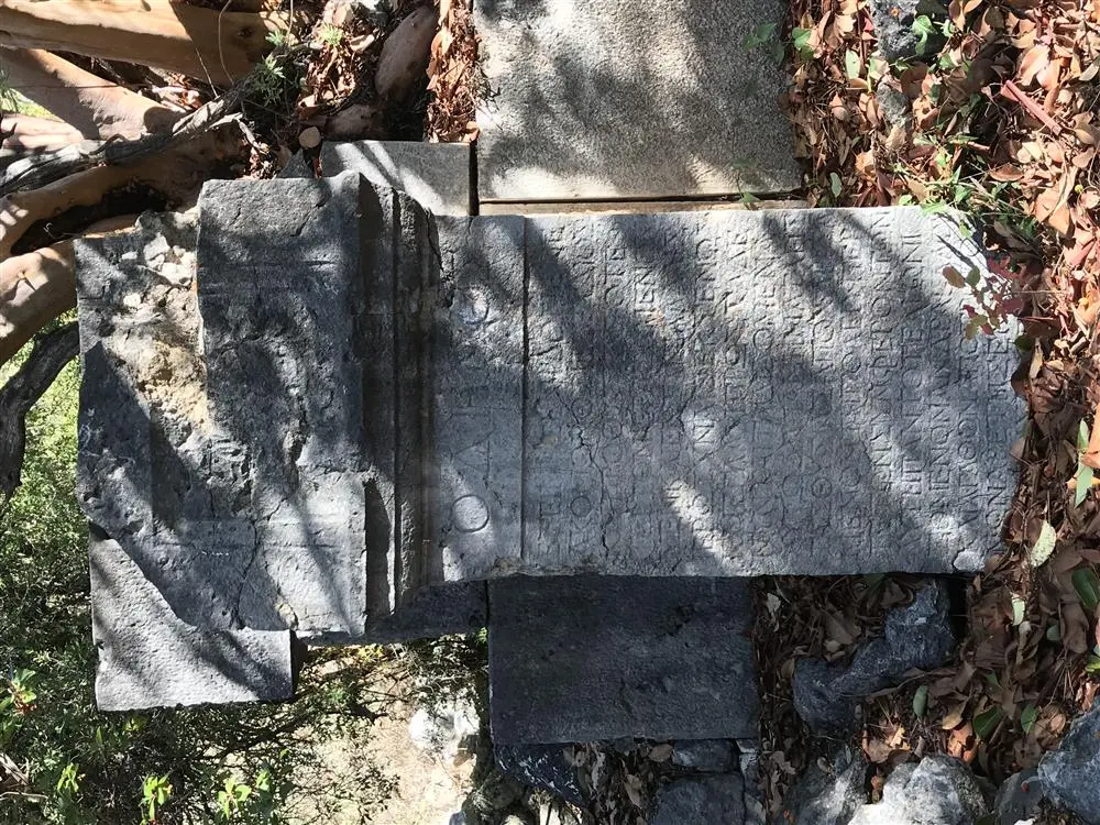
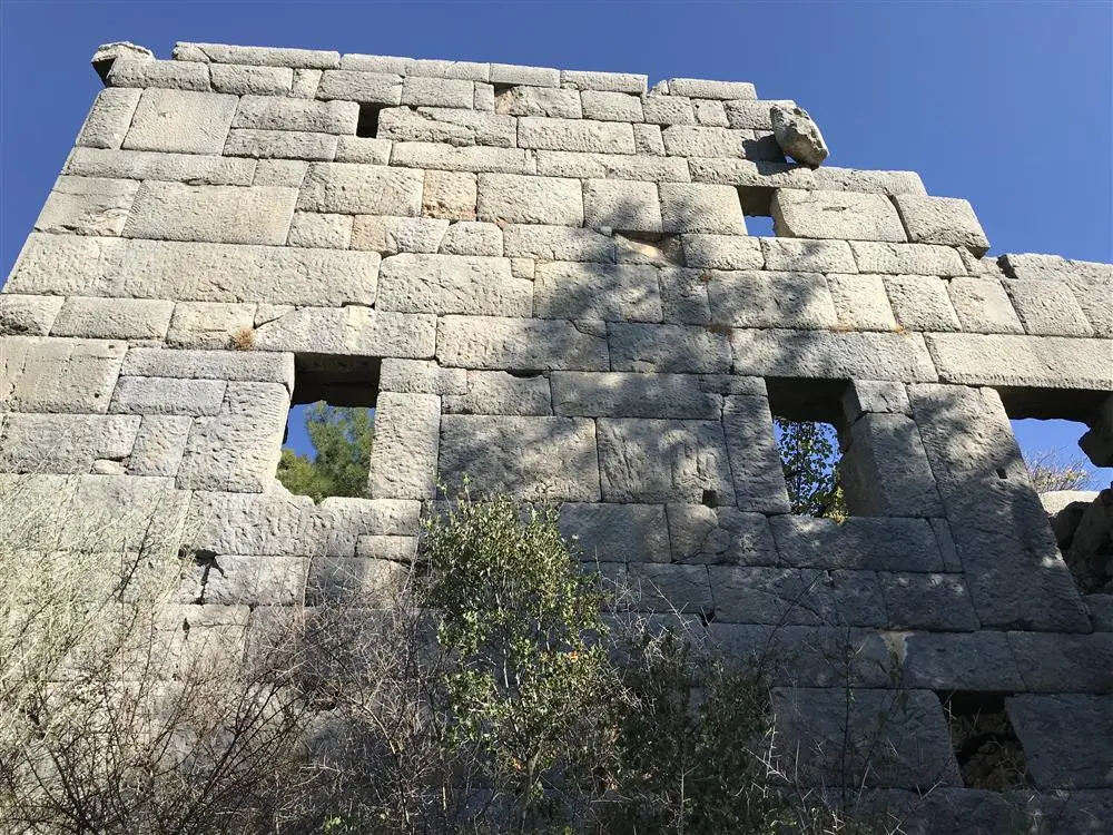
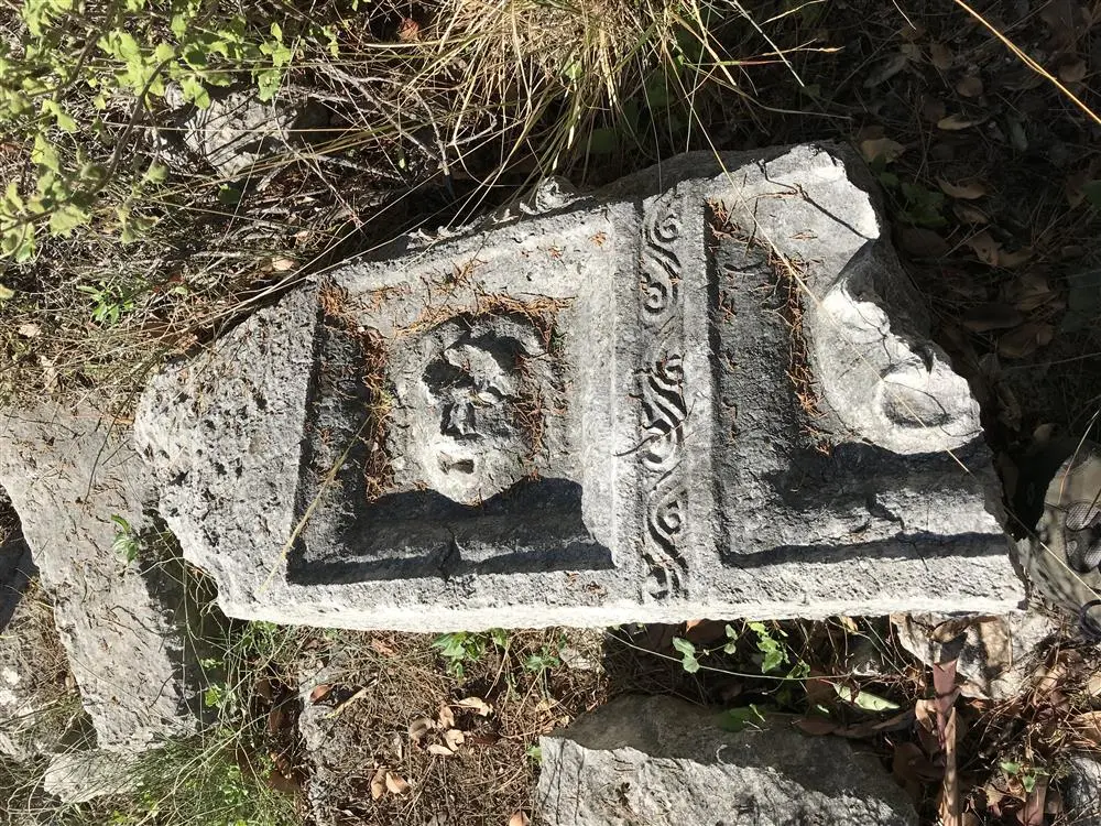
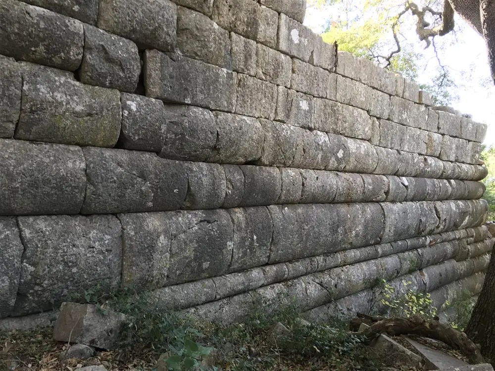
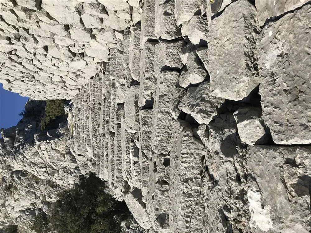
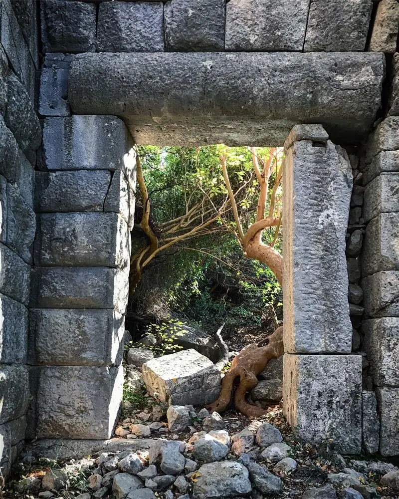
It is located 1 km east of the Kozan Village of our district and on the southern and western slope of a hill known as Bodrumkaya, at an altitude of approximately 650 m. The ruins at Bodrumkaya are located about 75 km northeast of Antalya. The site was first visited by Italian researchers in 1914 and introduced to the scientific world as the ancient city of Pednelissos.
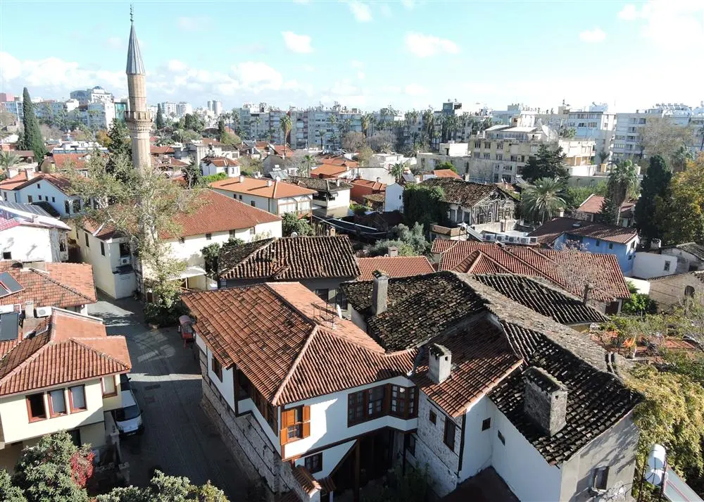
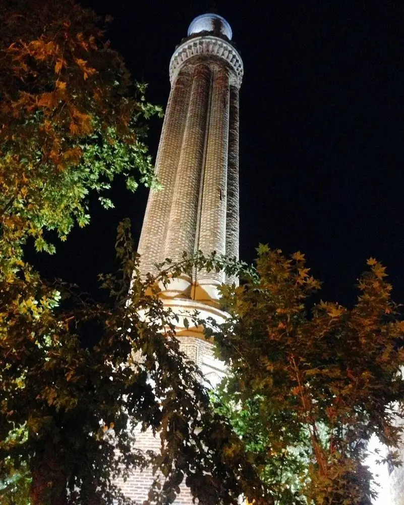
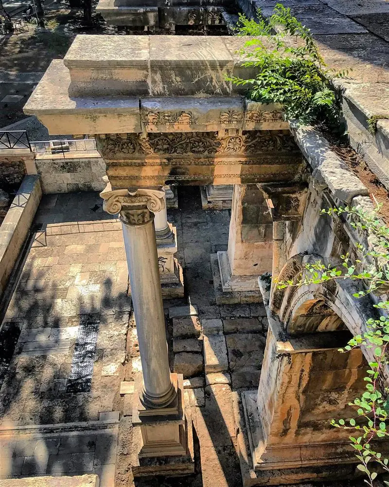
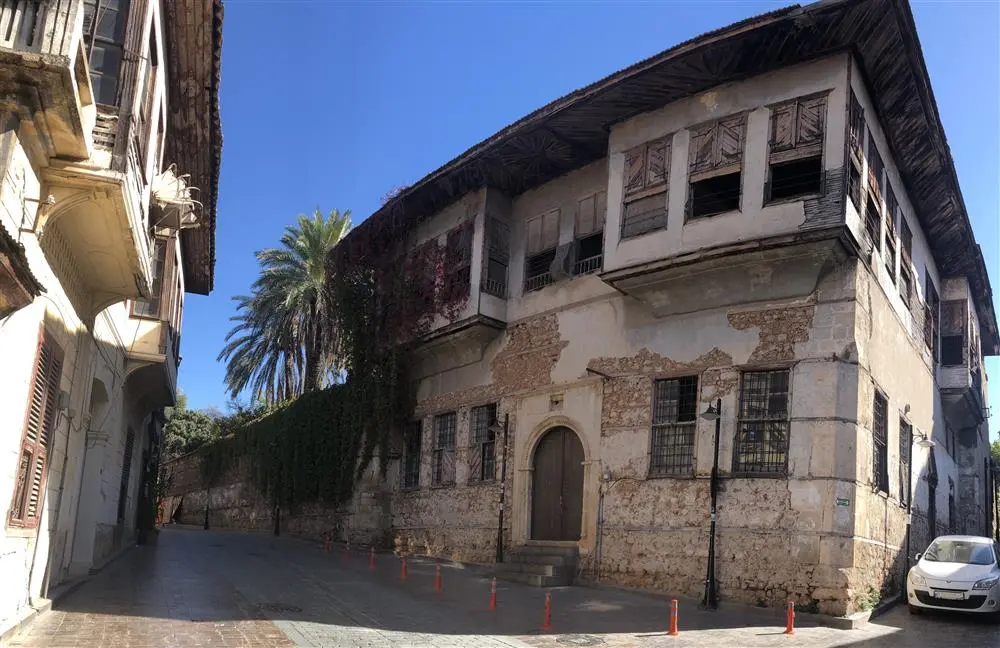
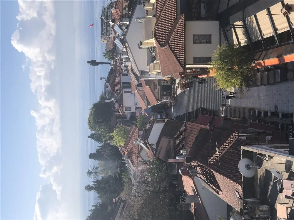
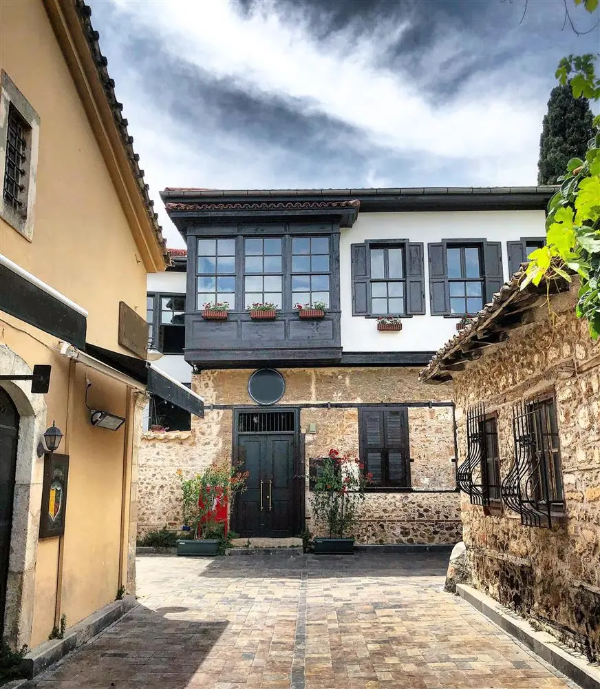
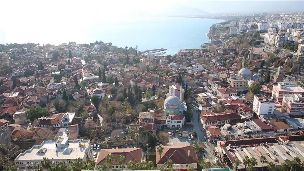
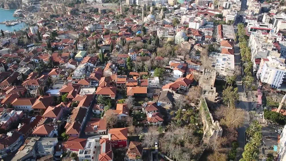
Attaleia-Antalya, which means "Home of Attalos", was founded by King Attalos II of Pergamon. After the end of the Pergamon Kingdom (133 BC), the city remained independent for a while and then fell into the hands of pirates. It was annexed to Roman territory by Commander Servilius Isauricus in 77 BC and became a base for Pompeius' navy in 67 BC. Hadrian's visit to Attaleia in 130 A.D. led to the development of the city.
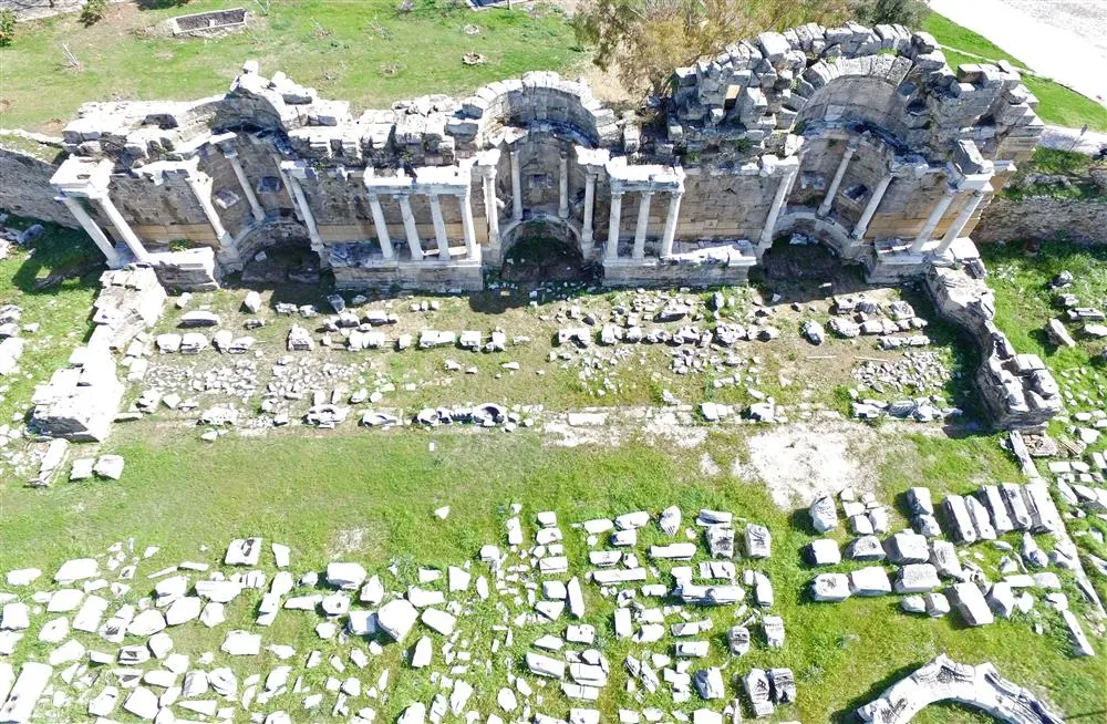
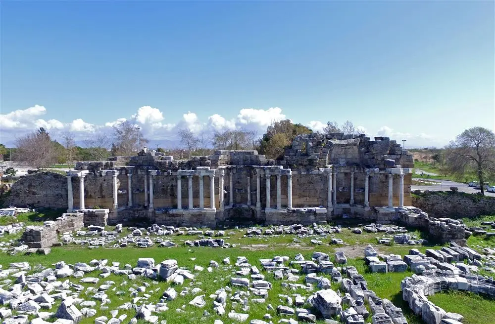
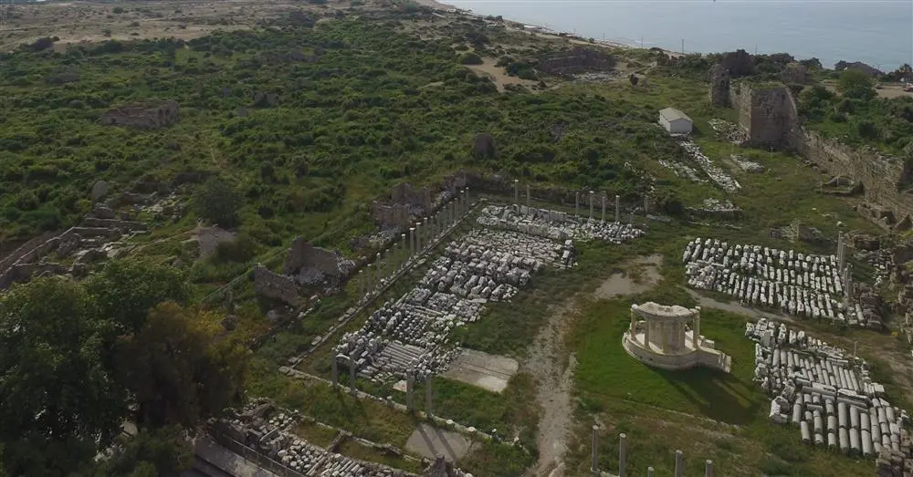
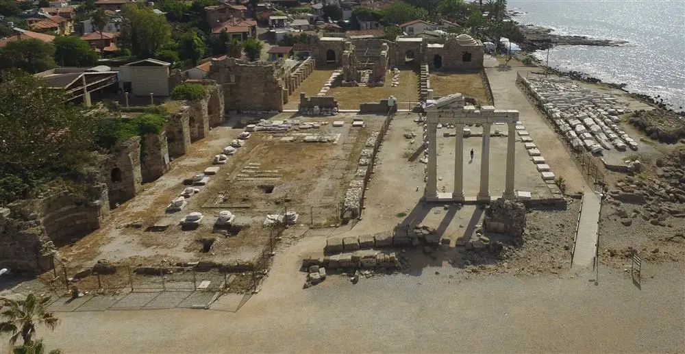
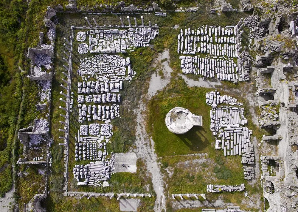
Side became a settlement center in the VII century BC. In the VI century BC, it came under the sovereignty of the Lydian Kingdom together with the whole Pamphylia, and after the fall of the Lydian Kingdom in 547/46, it came under the rule of the Persians. The city, which preserved its freedom to some extent during this period, minted coins in its own name. Side, which opened its doors to the Macedonian king without any resistance during the Anatolian campaign of Alexander the Great (334 BC), later became one of the great coin minting centers established by Alexander.
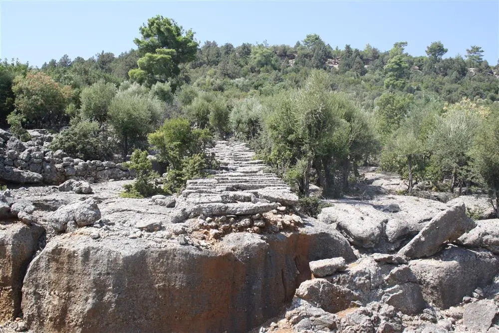
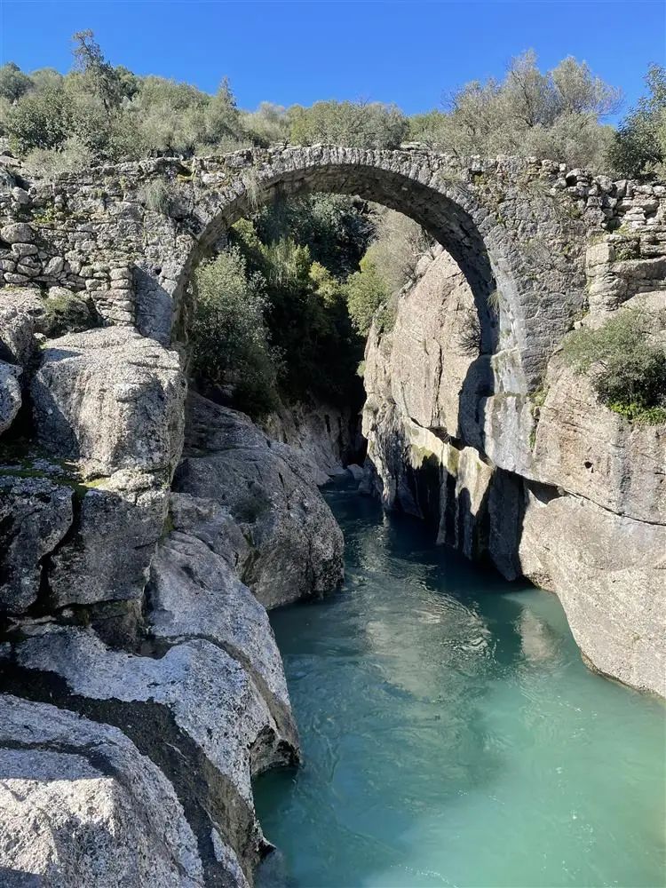
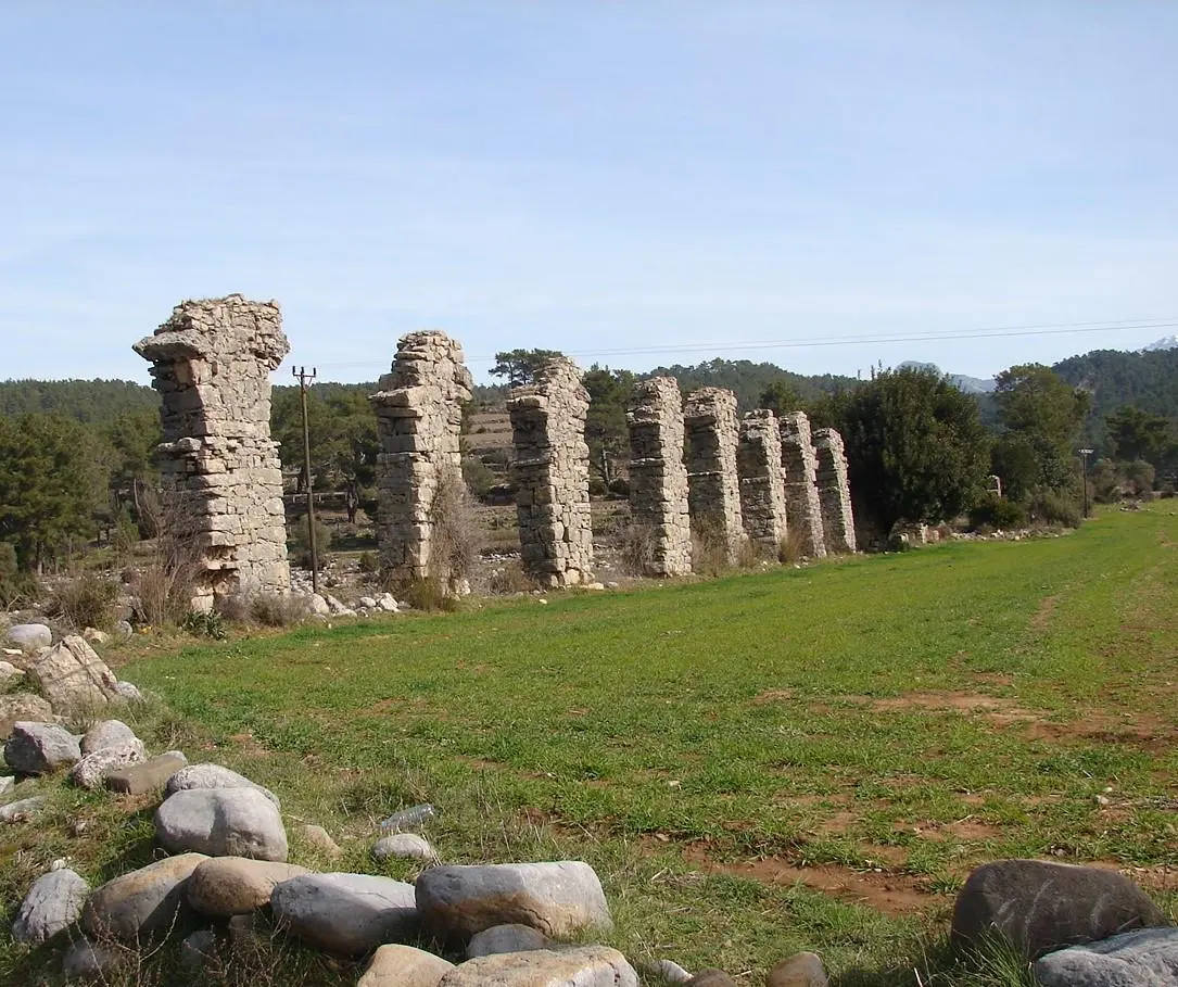
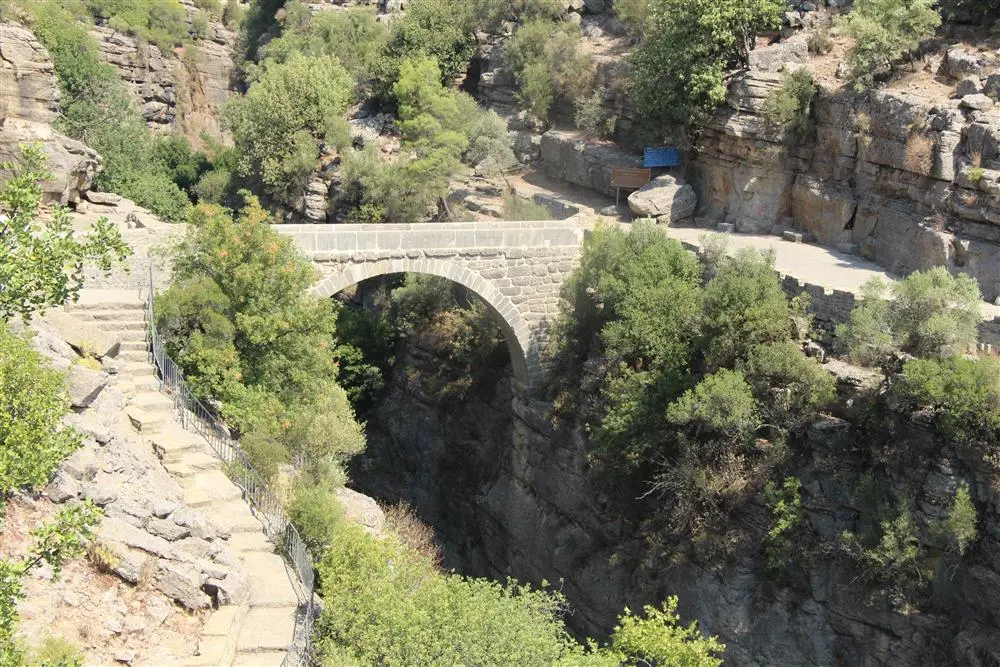
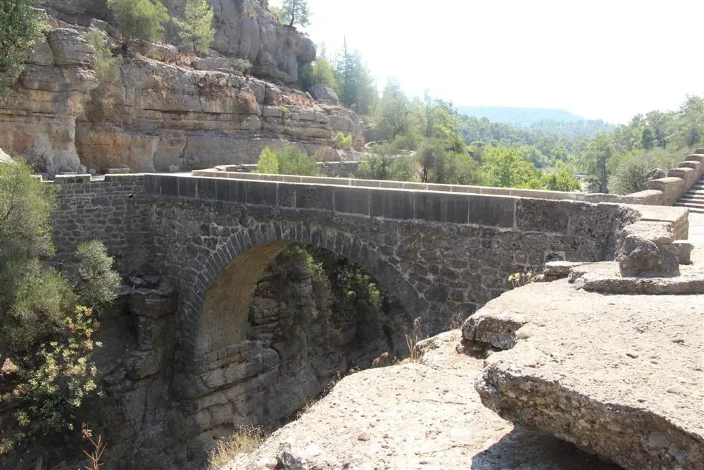
Köprüçay, formerly Eurimedon , is a river that originates in the Taurus Mountains near Sütçüler, Isparta and flows through narrow and deep canyons into the Mediterranean Sea near Serik. Its name was Eurymedon in ancient times. Köprü Stream has a basin area of 2.357 km2, an annual flow of 3065 hm³, a length of 178 km, a mouth elevation of 0 m (Mediterranean Sea), and a source altitude of 2.151 m.
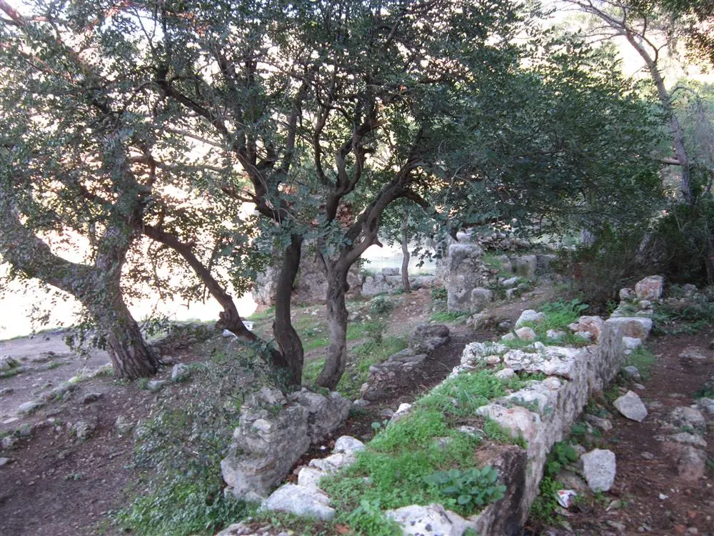
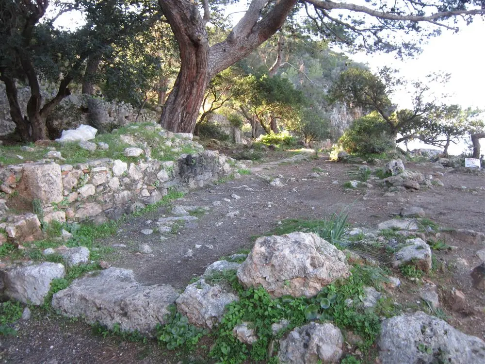
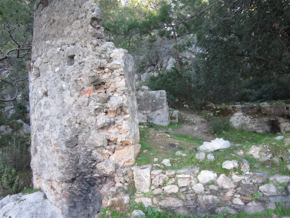
The ancient city of Melanippe, located in the Mavikent town of Antalya's Kumluca district, is situated on a peninsula 3 km. from Karaöz Bay. The importance of the city, which was a small coastal settlement under the sovereignty of Gagai since the Hellenistic Period, stemmed from the fact that it was a sheltered harbor serving other settlements around it.
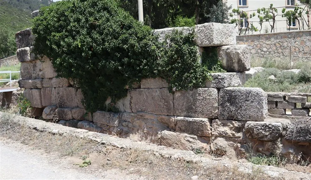
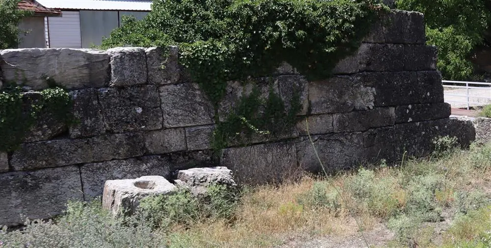
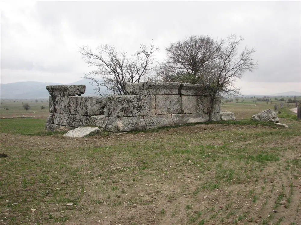
The ancient city, whose ancient name wasPoğla, is the ancient city of Pisidia, located in the south of Pisidia, in the Çomaklı village region of today's Antalya-Korkuteli district. Poğla Ancient City was also an important grain production center during the Roman period.
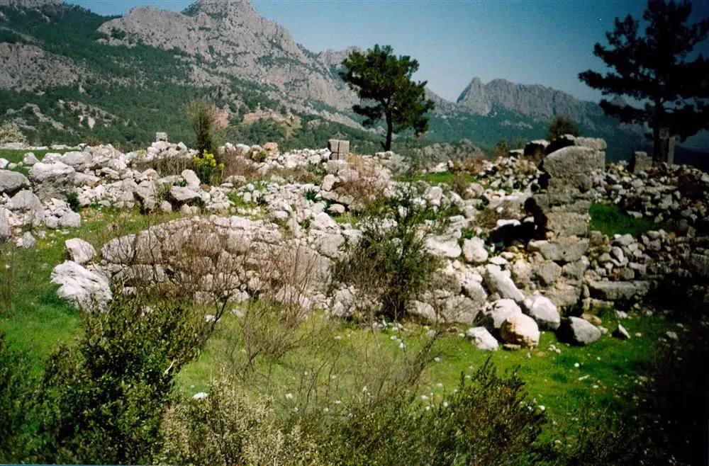
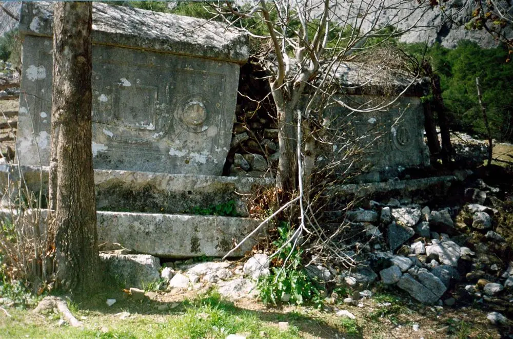
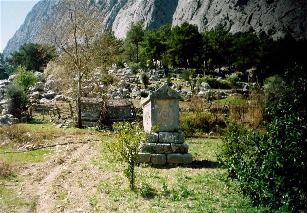
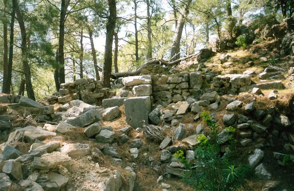
Onobara Ancient City is located in a region within the borders of Konyaaltı in Antalya. The ancient city, popularly known as Asarlık Hill and located in the Hisarcık region in the southwest region of Çakırlar neighbourhood, is on the ridge at the southeast end of Deveboynu Hill. Discovered in 1892 for the first time by Rudolf Heberdey and Ernst Kalinka, there is very little information about the ancient city.
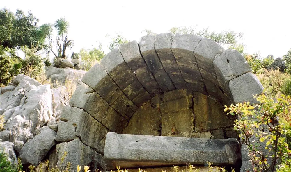
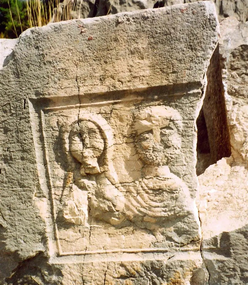
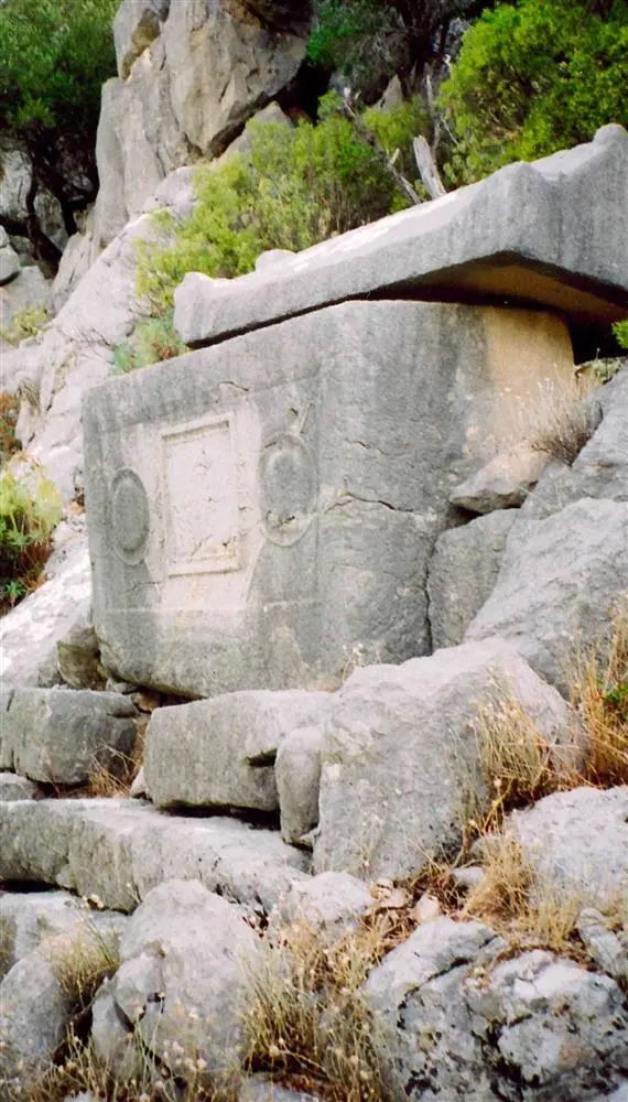
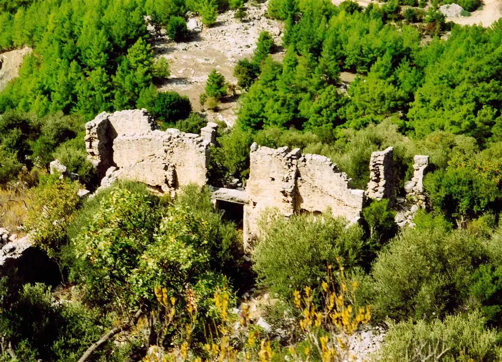
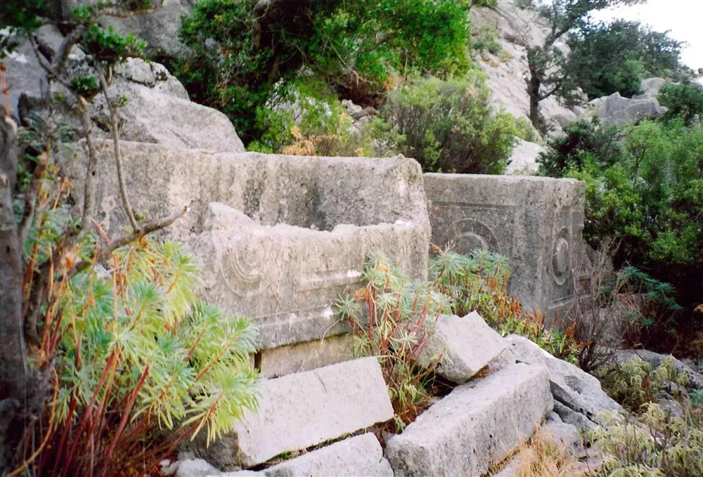
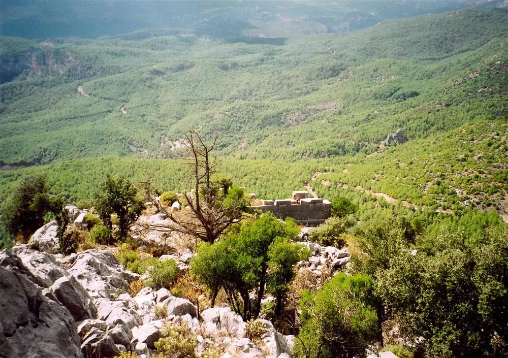
The ancient city of Neapolis is located on the Roman road from Antioch (Yalvaç) to Lyconia and Pamphylia, north of Lake Beyşehir. It is known that Neapolis was colonised by Thracian colonists at the same time as Apollonia (Uluborlu).
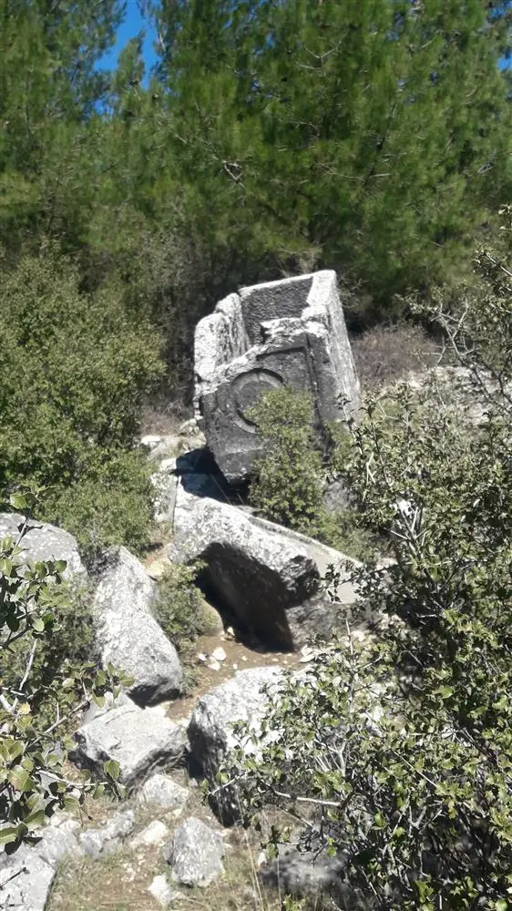
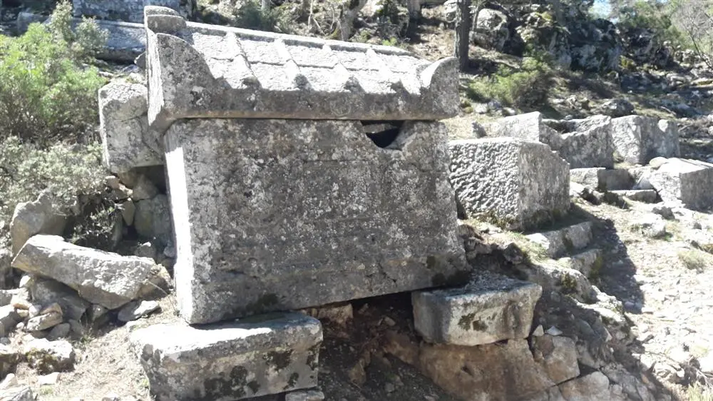
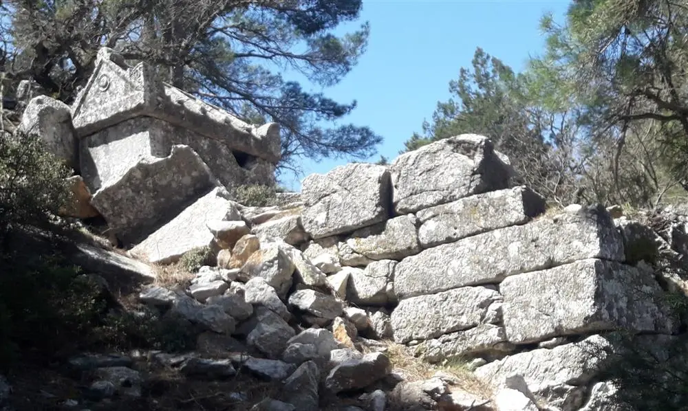
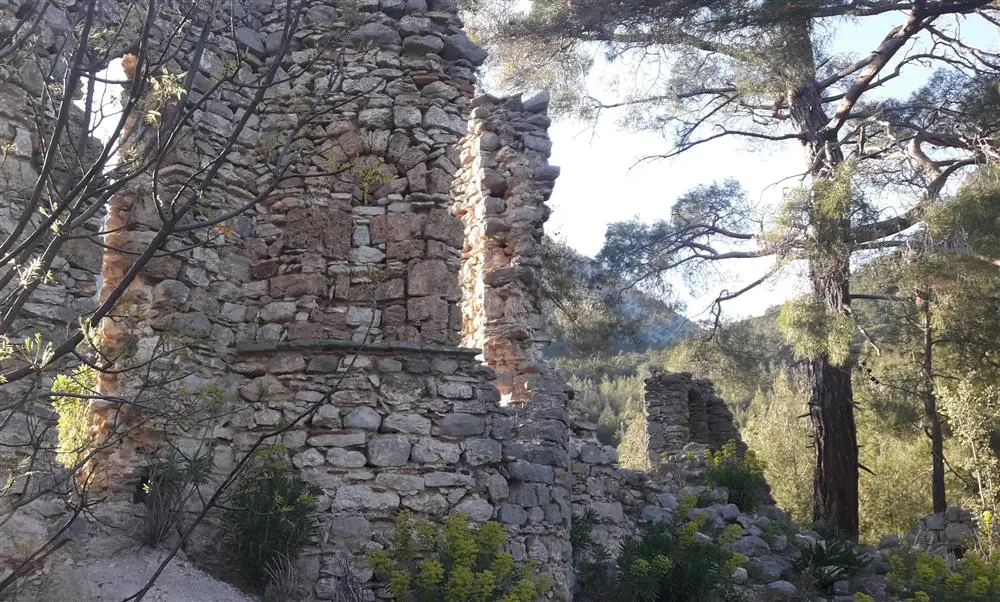
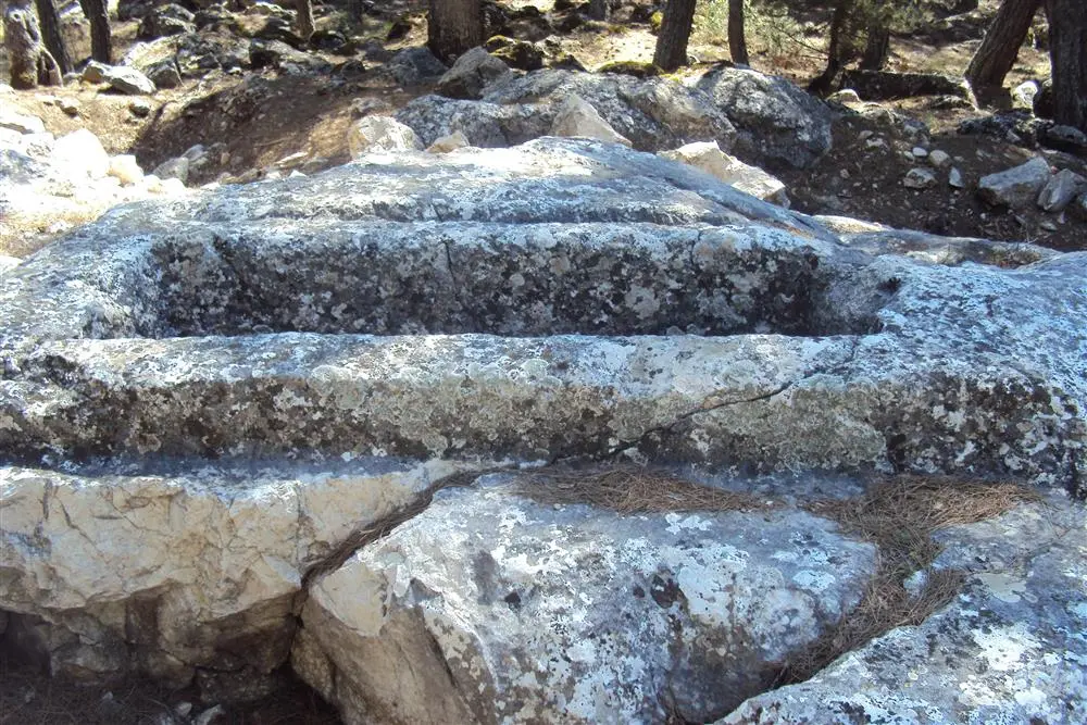
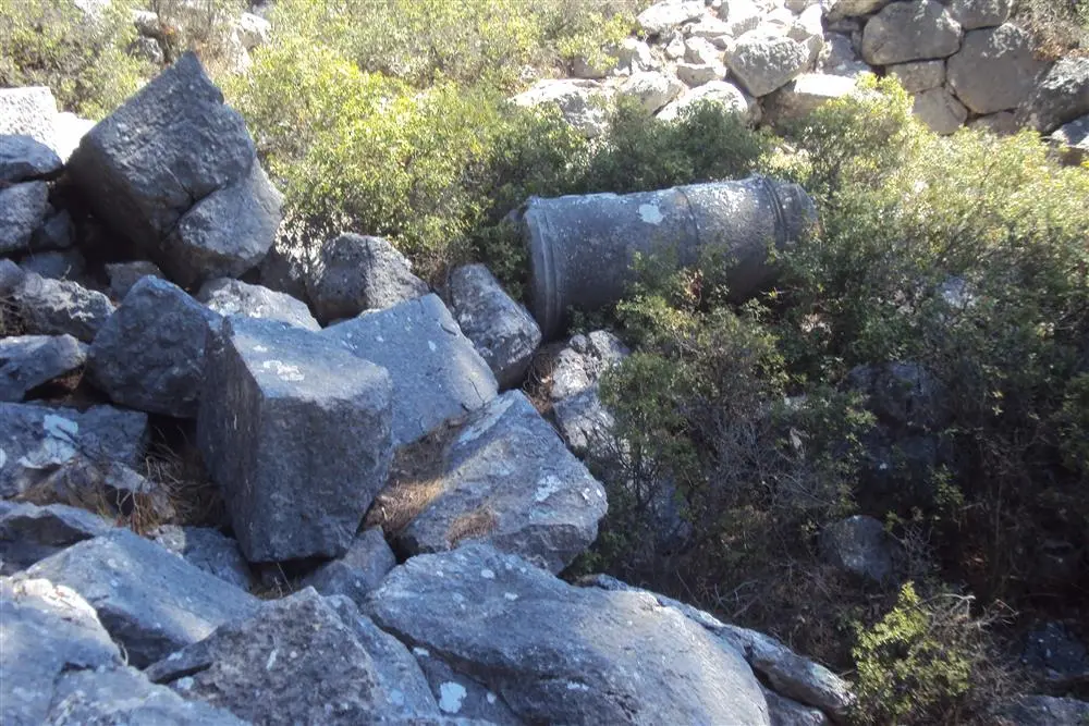
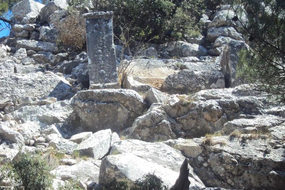
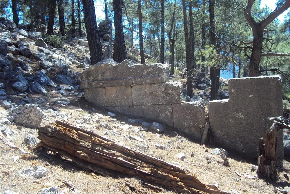
The ancient city of Kelbessos is located in the Alımpınarı neighbourhood of Konyaaltı District of Antalya Province, approximately at the 34th km of the Saklıkent road. The remains of sarcophagi belonging to the city can be seen close to Ahırtaş. It is located on the hill called Yelli Pear Ridge. Sarı Göynük Strait is located to the south and Konyaaltı - Saklikent road to the north.
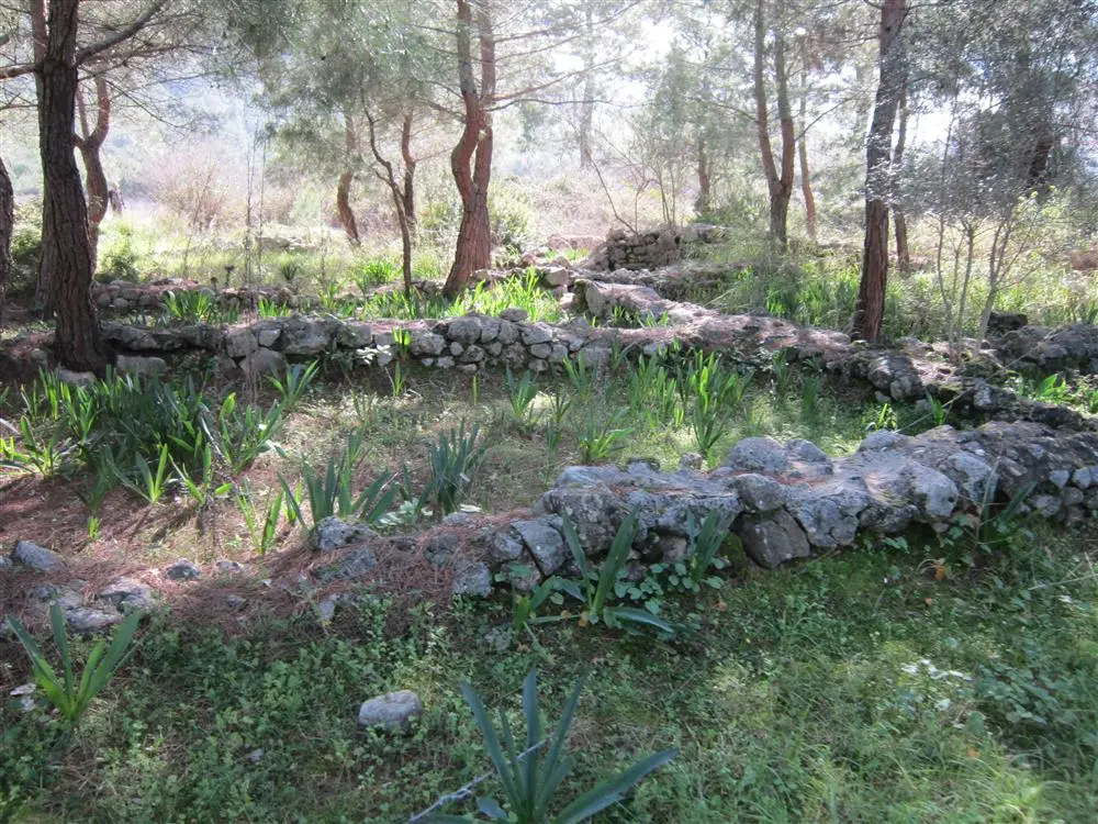
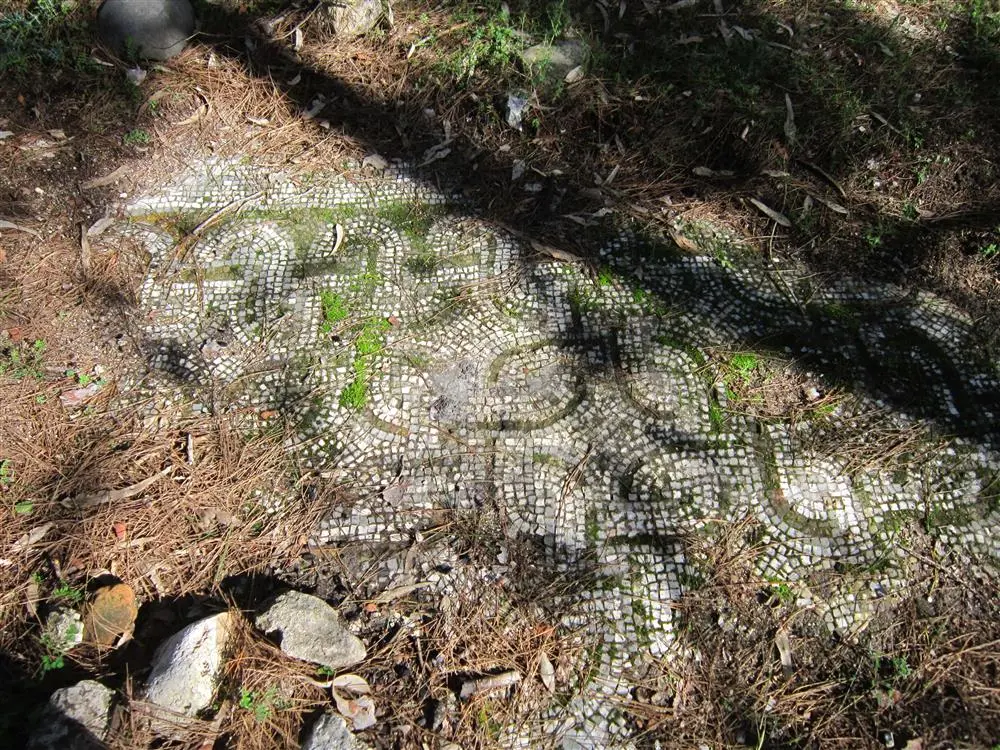
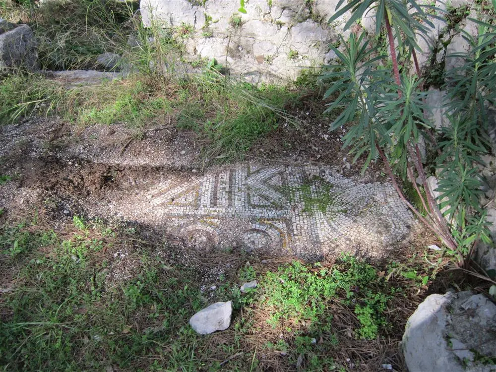
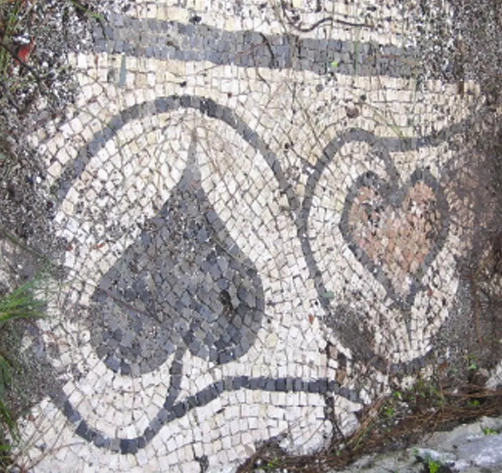
The ancient city of Idyros is located within the borders of Kemer district of Antalya province. The city has not been mentioned much either in ancient sources or by contemporary authors.
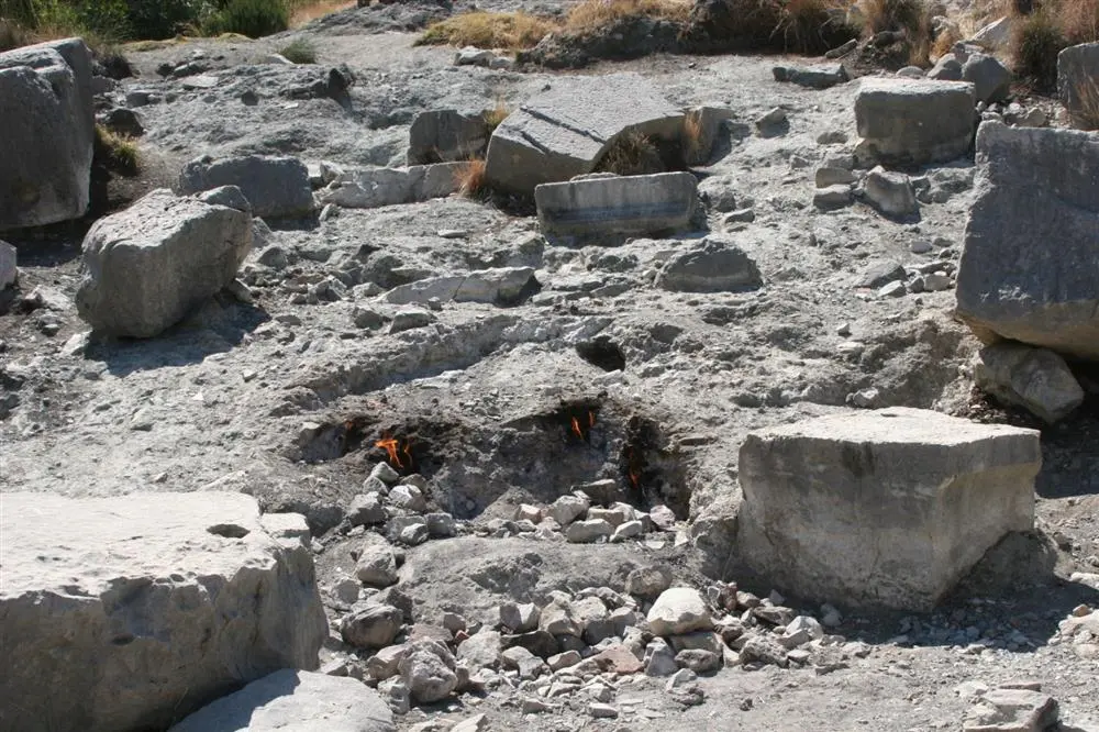
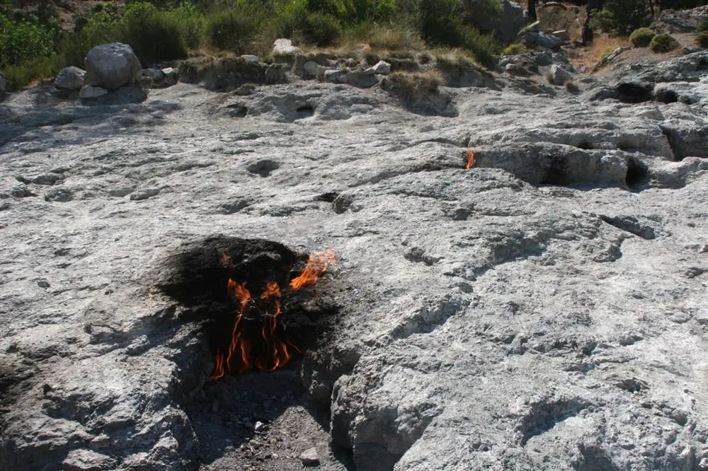
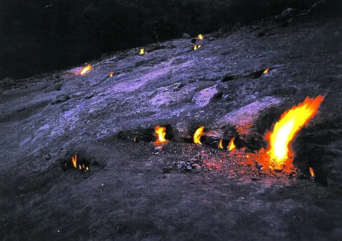
The Unquenchable Fire of Olympos: Yanartaş is a small, historical and touristic natural gas source near Çıralı village in Kemer district of Antalya. It is located in a scenic location close to the sea, the flames coming out of the stones attract the attention of tourists. It has been burning for 2500 years, it has also been the subject of Greek mythology.
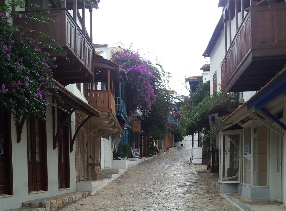

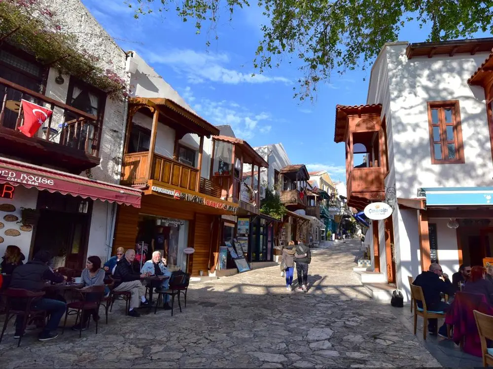
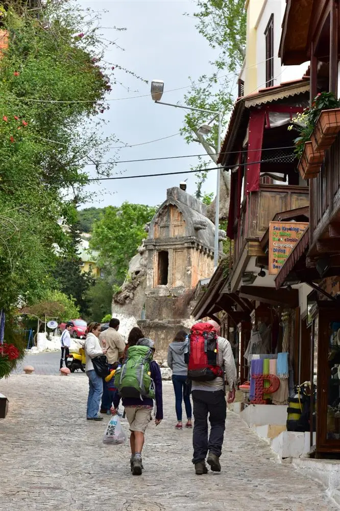
The structural situation within the Urban Protected Area seems to be quite good in terms of structural and façade qualities. Within the Urban Protected Area, new buildings with wooden bay windows and cantilevers that emulate the traditional building type are becoming increasingly common within the Urban Protected Area. The widespread use of this building typology by the decision of the Preservation Board is a situation that needs to be questioned in terms of the principles of the Venice Charter.
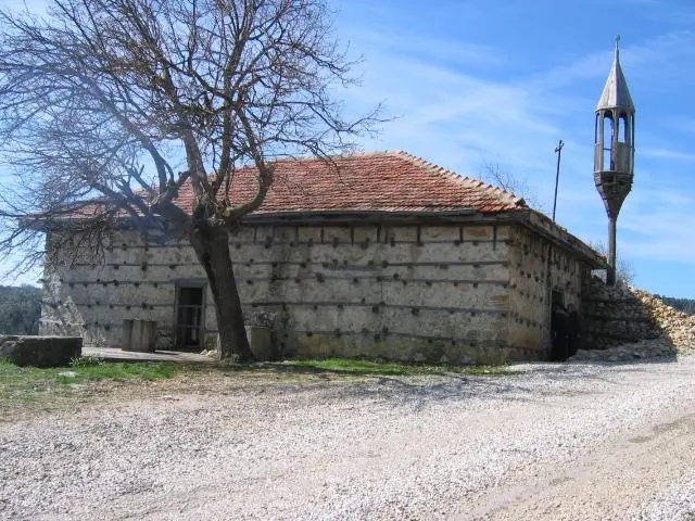
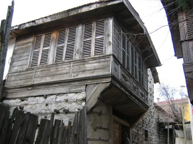
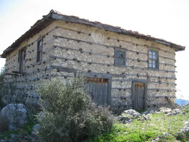
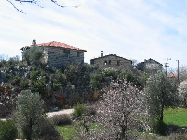
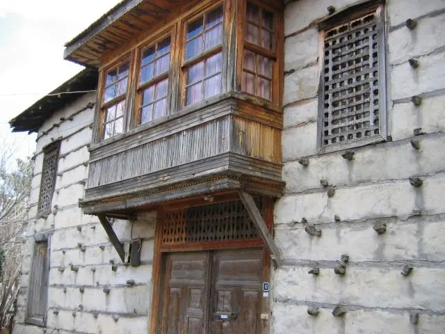
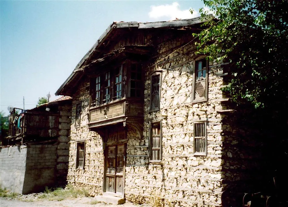
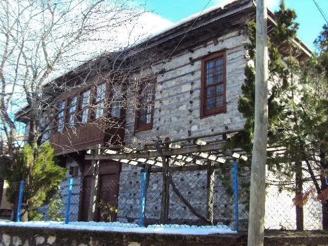
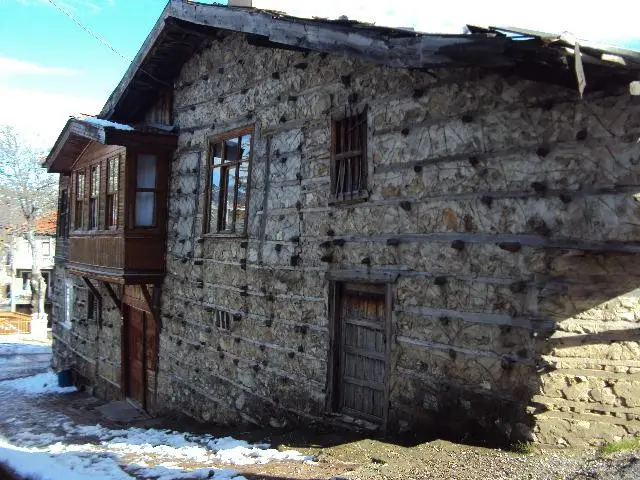
Ormana, built on the ruins of the city of Erimna, is a settlement where the "button house" architecture unique to the Ibradı region is seen.The history of Ormana dates back to the Roman Empire; "It is included in history books with the name Erimna. The city surrendered to Alexander the Great in 334 BC and lived under Persian rule from 223-212 BC.
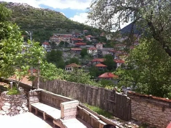
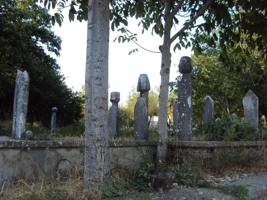
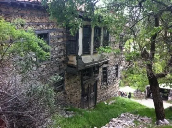
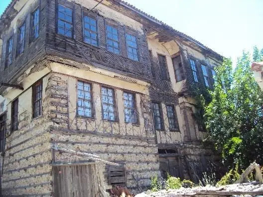
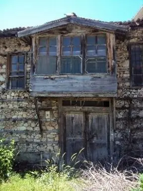
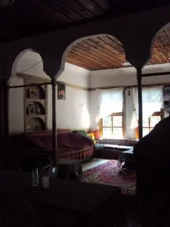
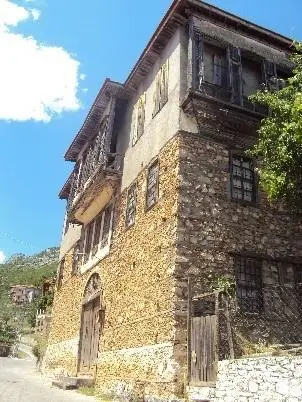
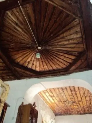
The exact date of the foundation of Ibradı, which is located within the borders of Psidia, is not known exactly. However, it is estimated that it dates back to the Roman period from the ruins found in and around Ibradı. For example, there are ruins of the Hellenistic Erymna Ancient City between Ormana Municipality, 2 km. away from Ibradı, and Ürünlü Village, 7 km. away. The necropolis of the city is on the rocky ridges surrounding Ormana.
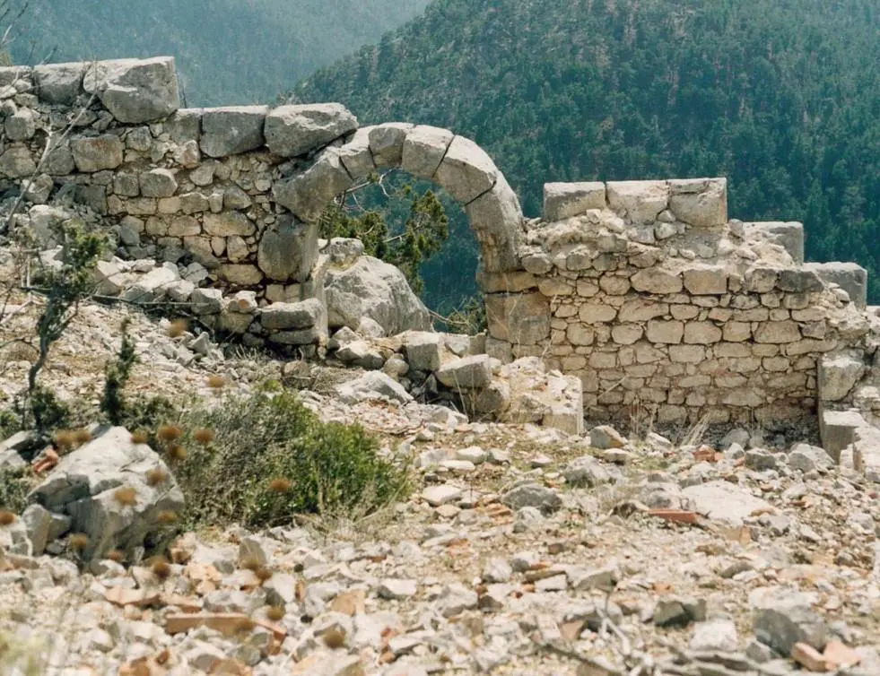
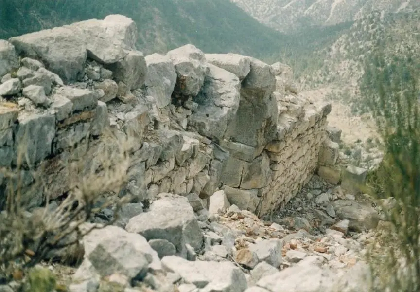
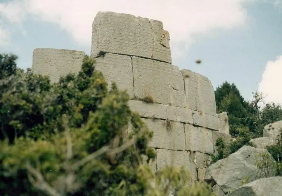
The sovereignty of the city of Kasai, built on a high hill near Karadere Quarter of Gündoğmuş District, extends at least to Güzelsu and Çaltılıçukur in the west. Therefore, we can say that Kasai was the fourth city that had rights to the lands of Akseki during the Roman Period.
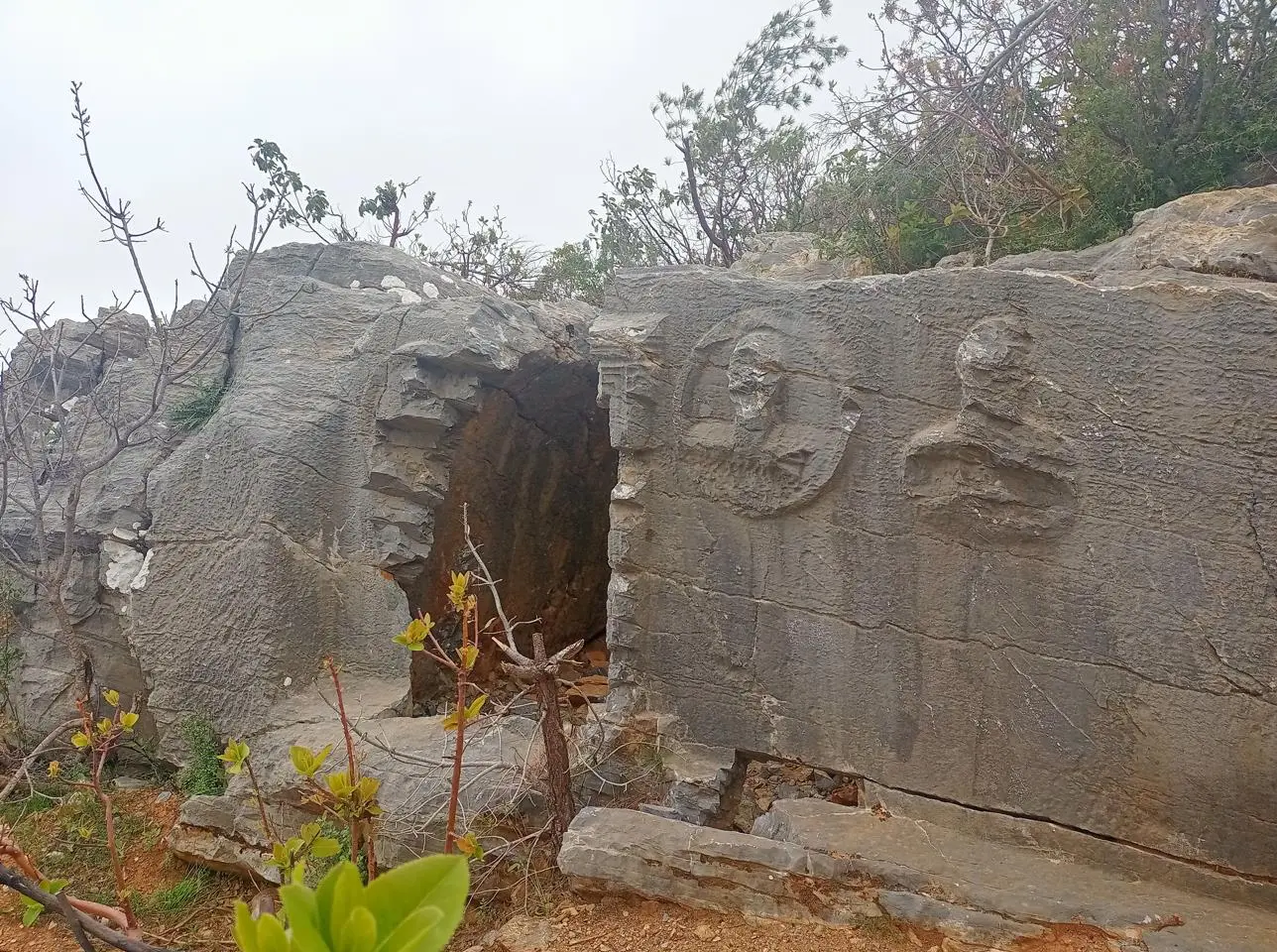
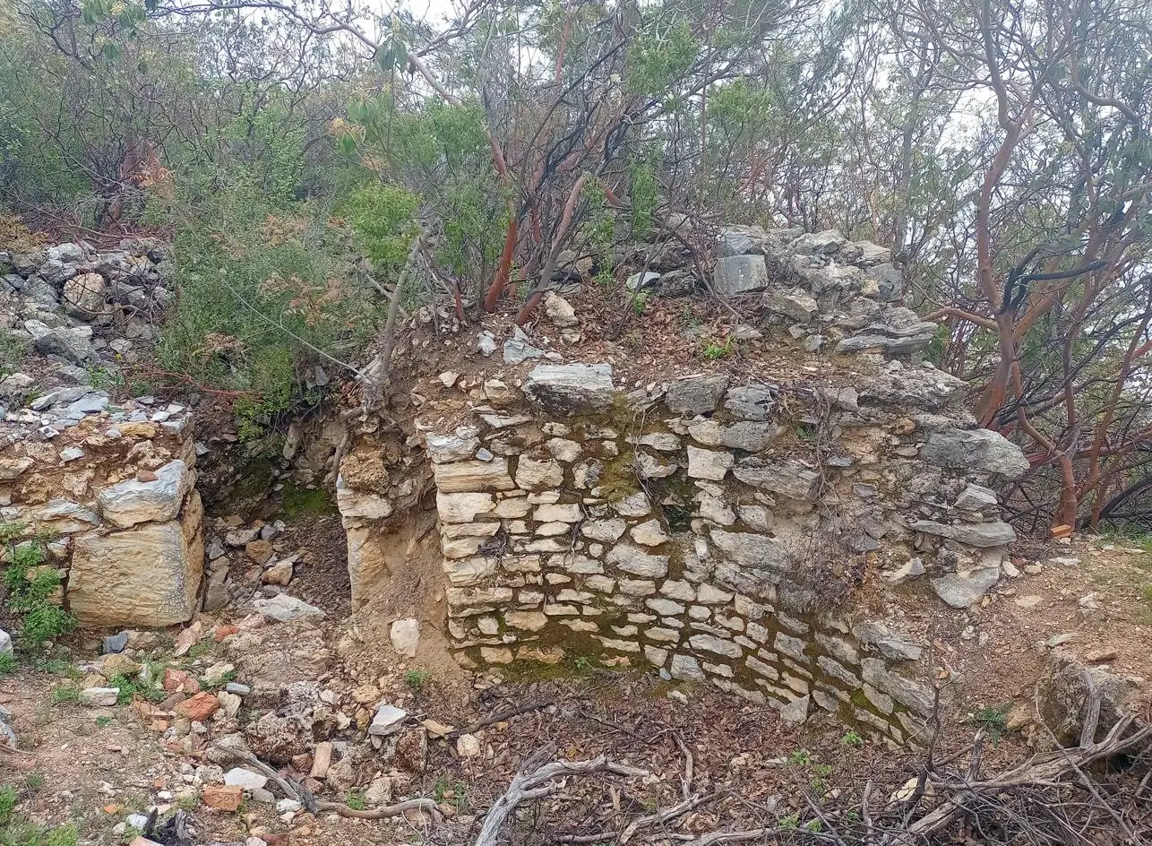
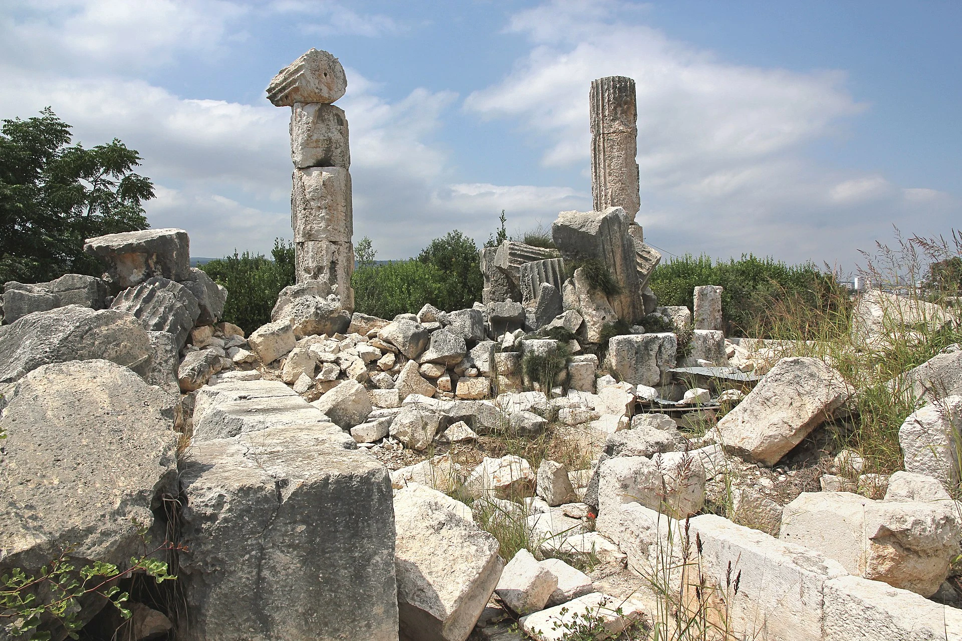
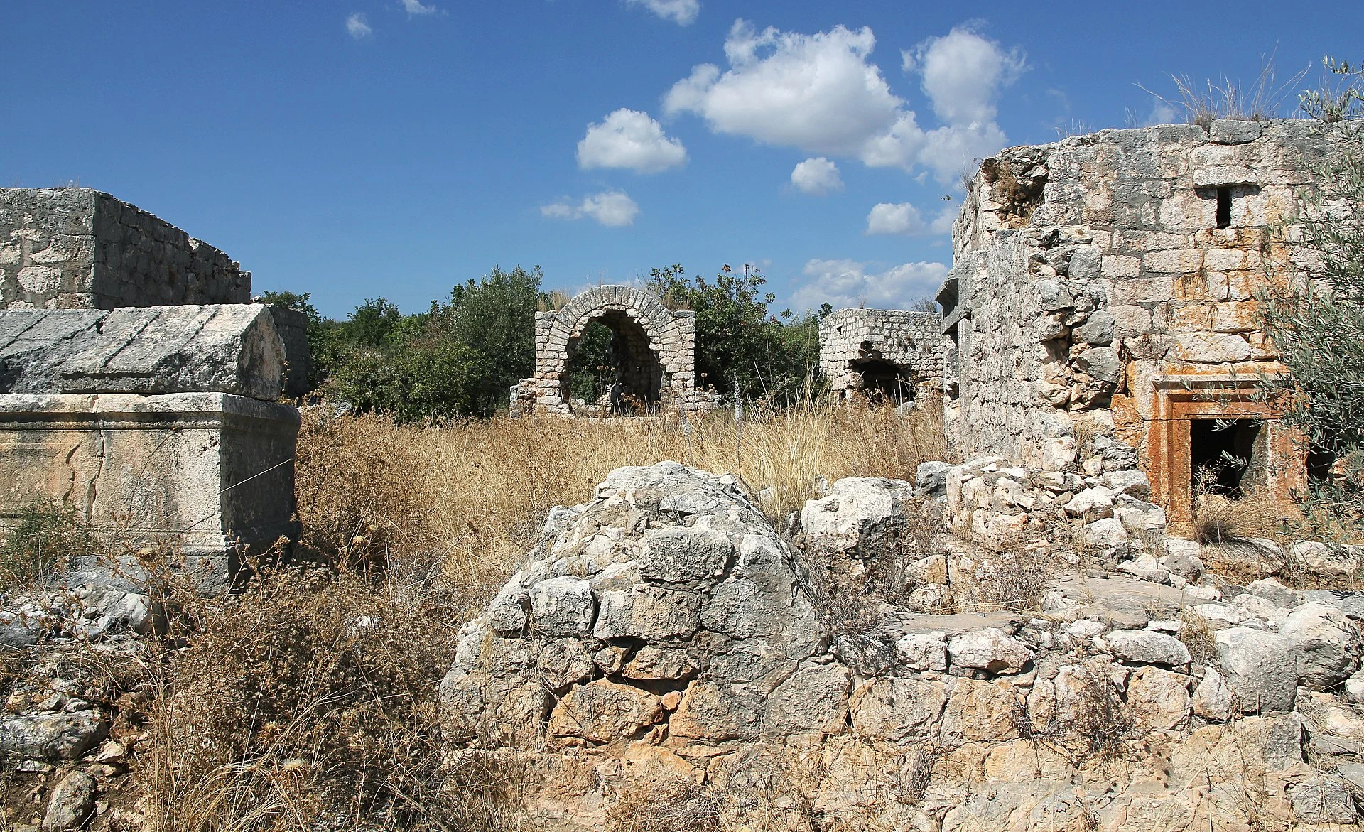
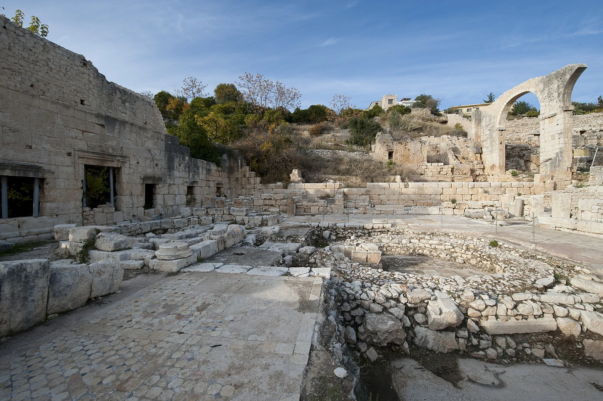
Elaiussa Sebaste is a small ancient Roman port city located 55 kilometres from Mersin. Elaiussa; means olive. In the 2nd century BC, Elaiussa was a port city at the crossroads of the Eastern Mediterranean. The existence of piracy at that time negatively affected commercial life. BC. From the 1st century onwards, after Elaiussa took the appearance of a city, it gained its freedom by getting rid of Olba domination.
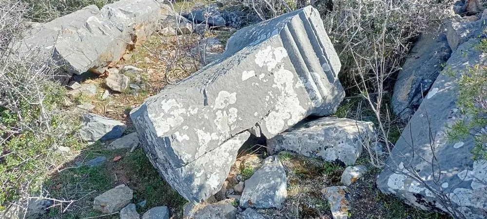
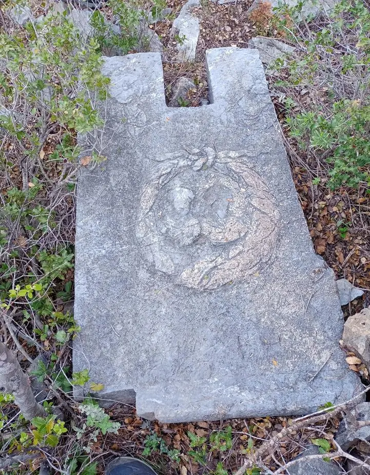
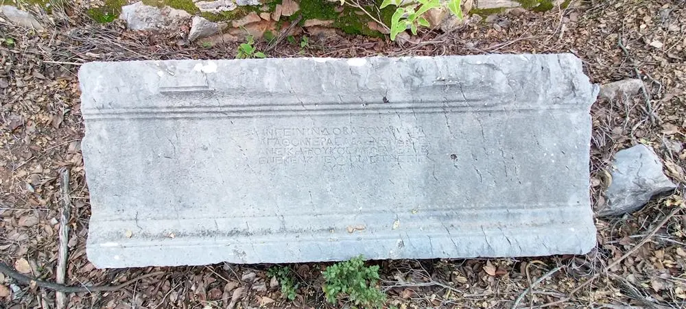
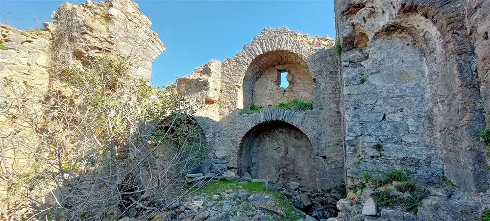
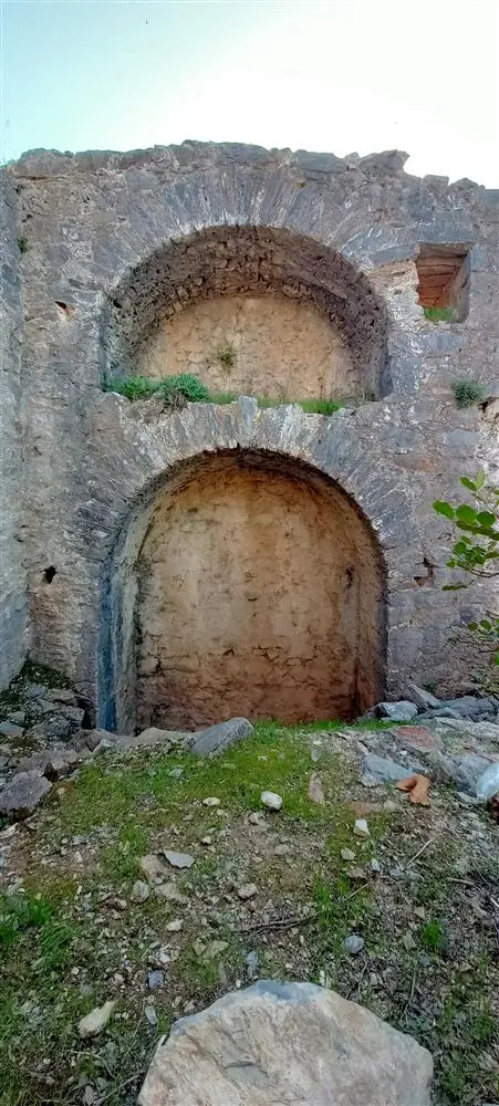
It is located 6 km southeast of Gazipasa District on a 350-metre rise, which is shown as Kilisetepe on the maps. The ruins are spread over an area of about 400 square metres. According to the inscriptions, it was localised as the ancient city of Cestrus.
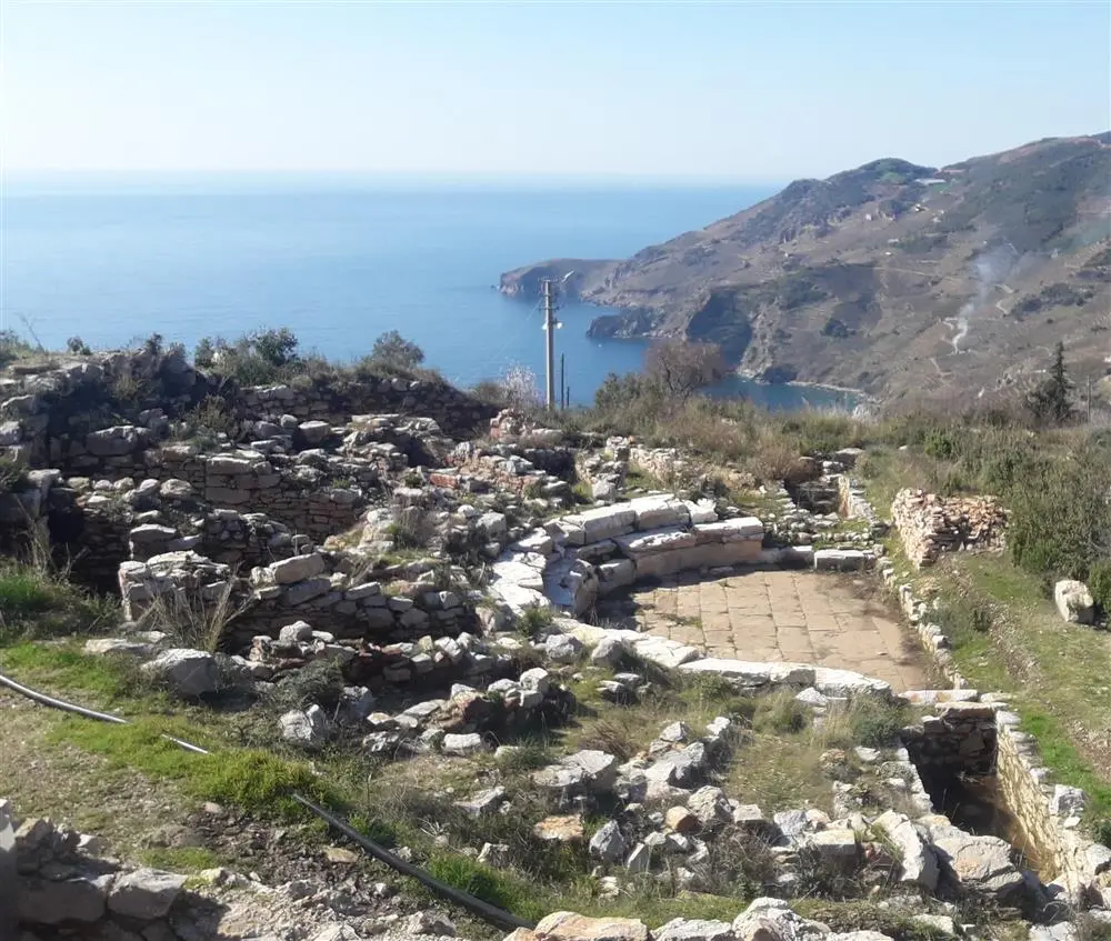

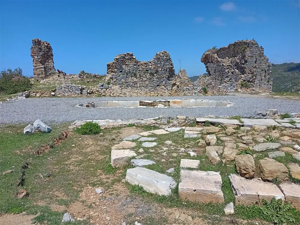
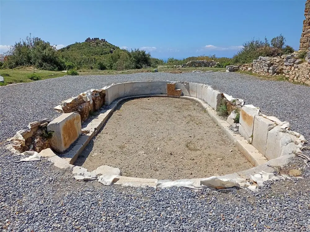
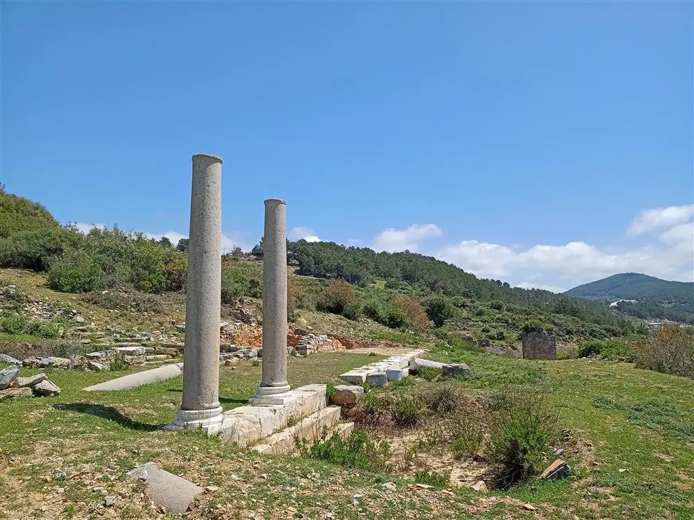
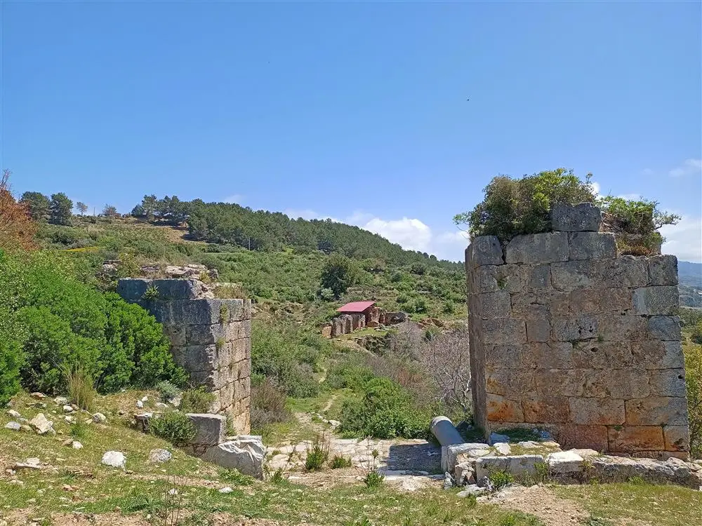
Antiocheia ad Cragum is an ancient city near Gazipaşa district of Antalya province. It is 60 kilometres east of Alanya. It is on the Mediterranean coast in the region known as Mount Cilicia in ancient times.The city is named after Antiochus IV, King of Commagene, who lived in the 1st century AD.
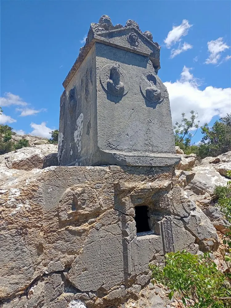
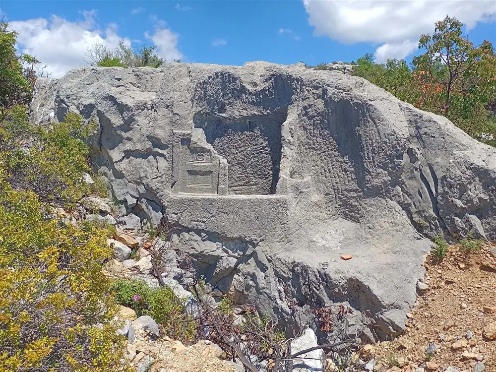
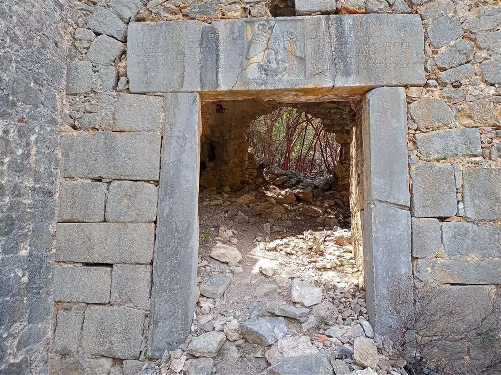
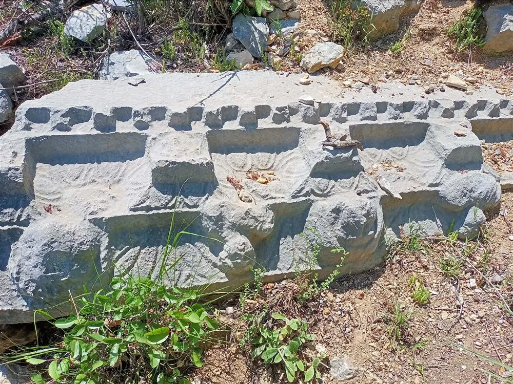
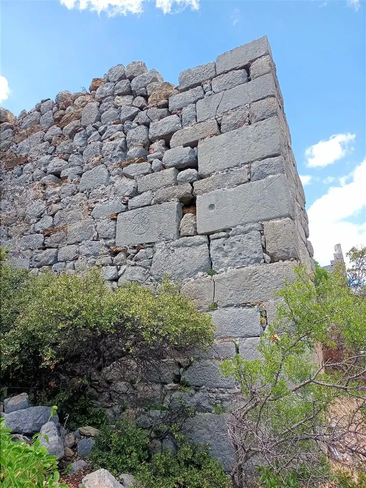
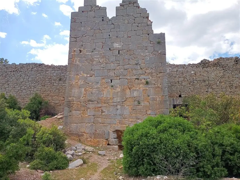
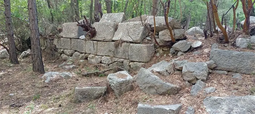
Lamus is 55 kilometres east of Alanya, 2 kilometres north of the village of Adanda. The city is built on two hills forming the summit of a high and steep mountain. It is understood from the inscription on the entrance gate of the city that the western hill was surrounded by walls during the reign of Gallienus in the middle of the 3rd century AD.
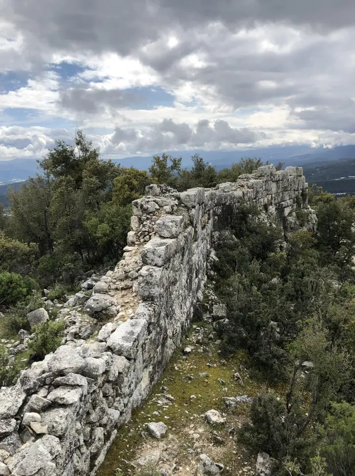
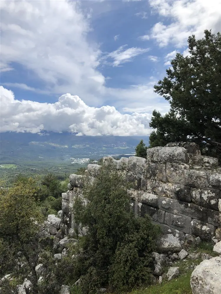
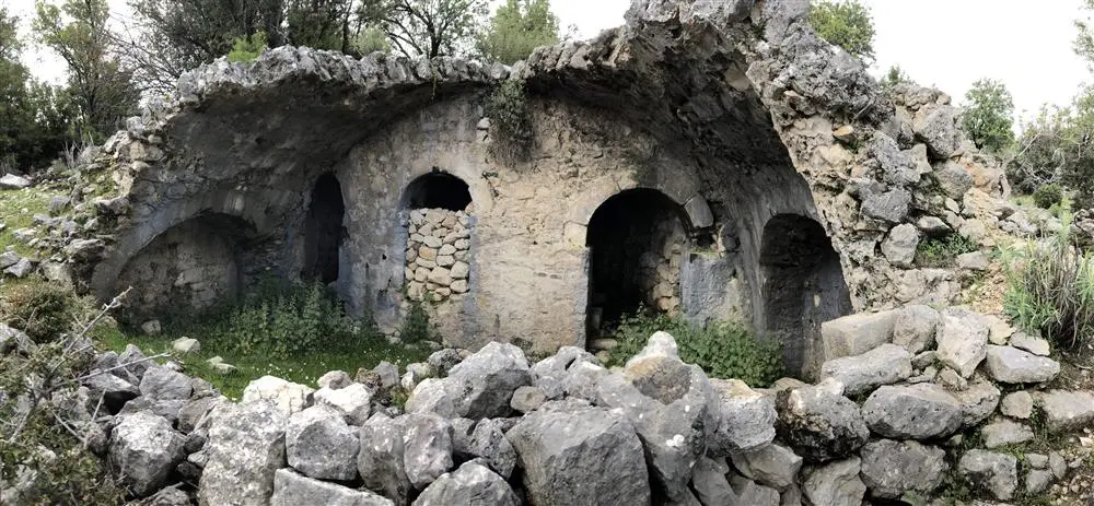
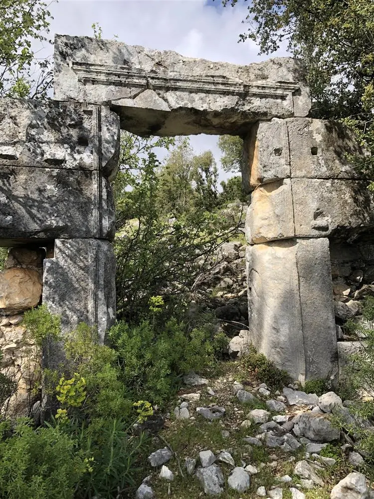
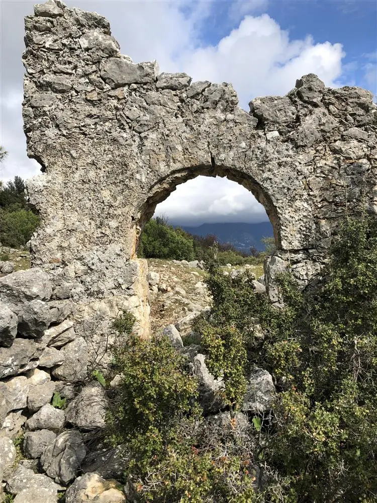
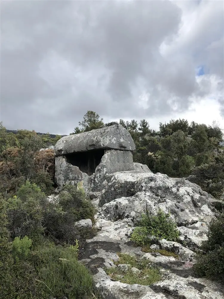
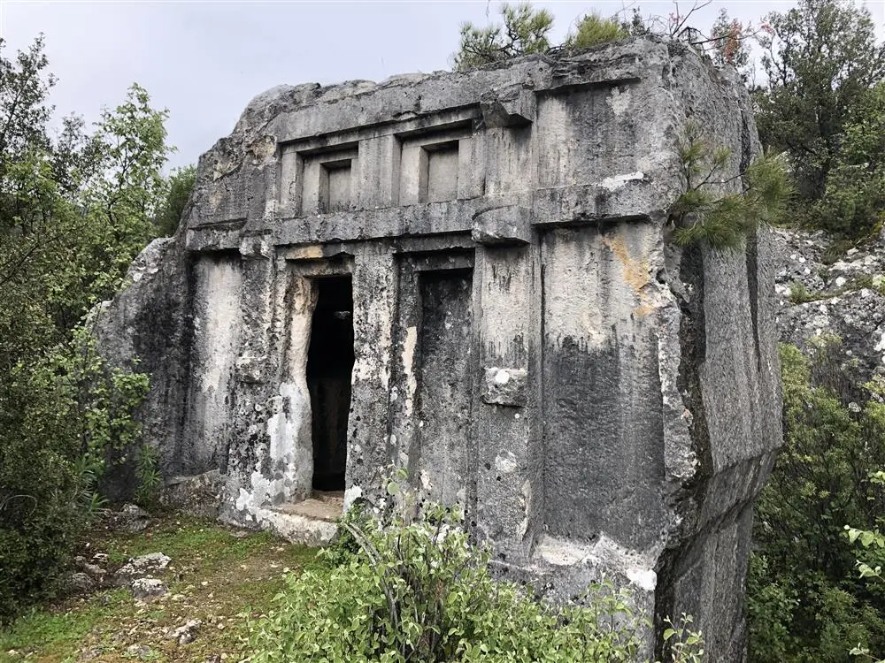
Arneai Ancient Settlement is 26 km northwest of Myra. It is 45 km away from Finike. It is reached from 25 km of the Limyra- Arykanda road towards Kaş at the 10th km towards the valley. It is located 5 minutes walk south from Ernez. It is not a well-known city in history. It is a small settlement. It is known that it was included in the sympoliteia in the first century AD.
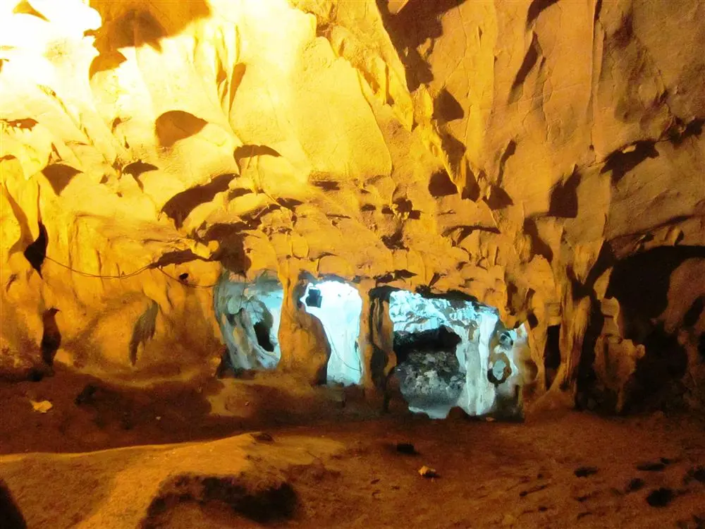
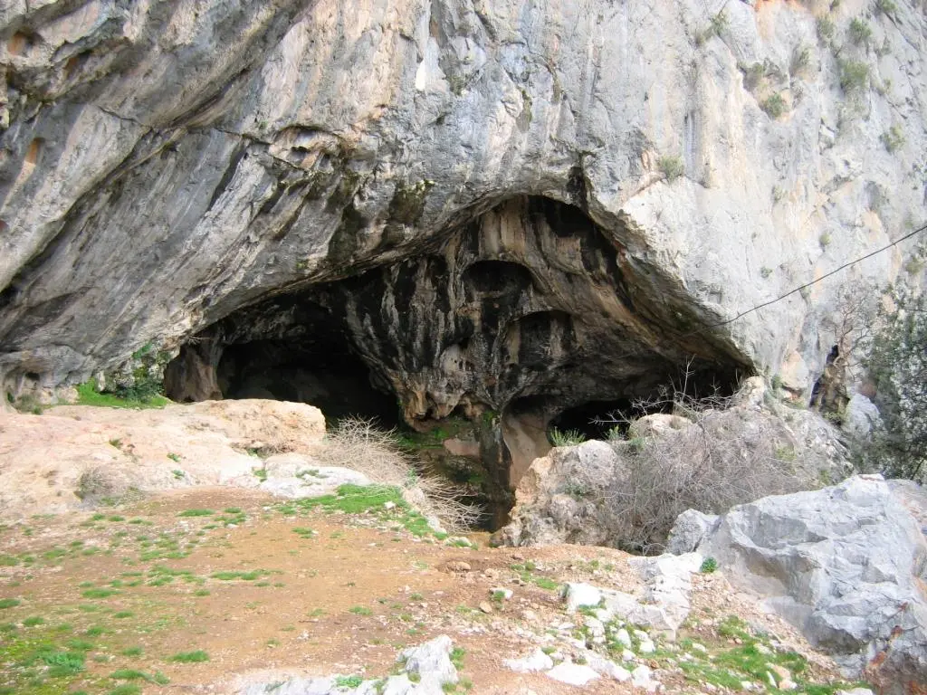
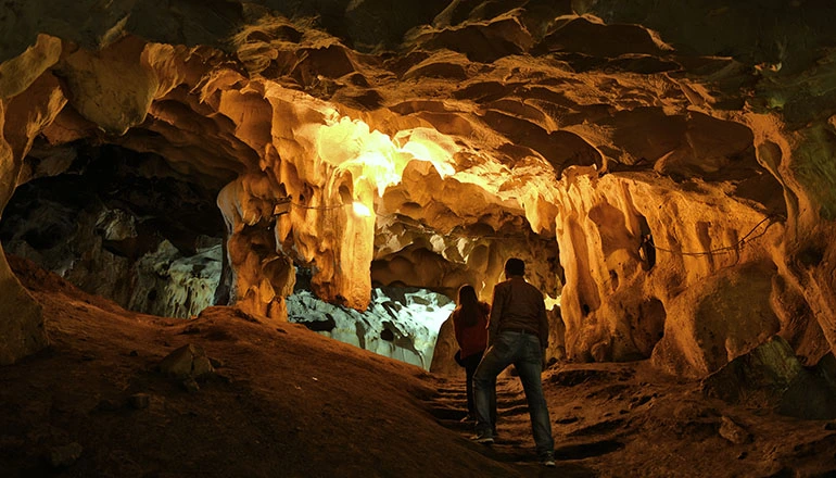
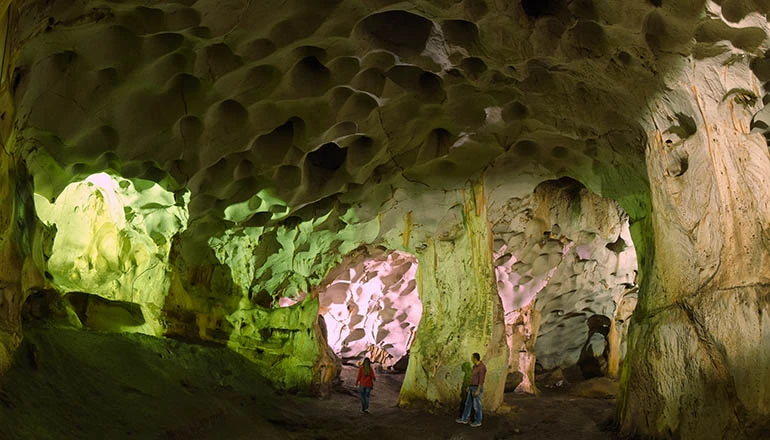
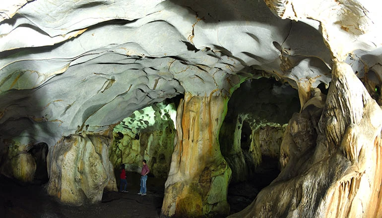
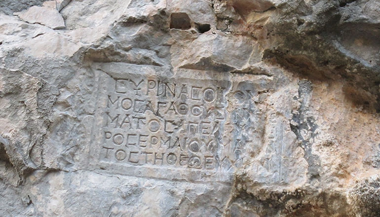
Karain Cave is one of the largest natural caves in Turkey. Its height from the sea is 430-450 metres. It is located within the borders of Yağca village, 30 km northwest of Antalya, 5-6 km from the old Antalya-Burdur highway. The distance to Antalya is 27 km. Excavations have been carried out since 1946.
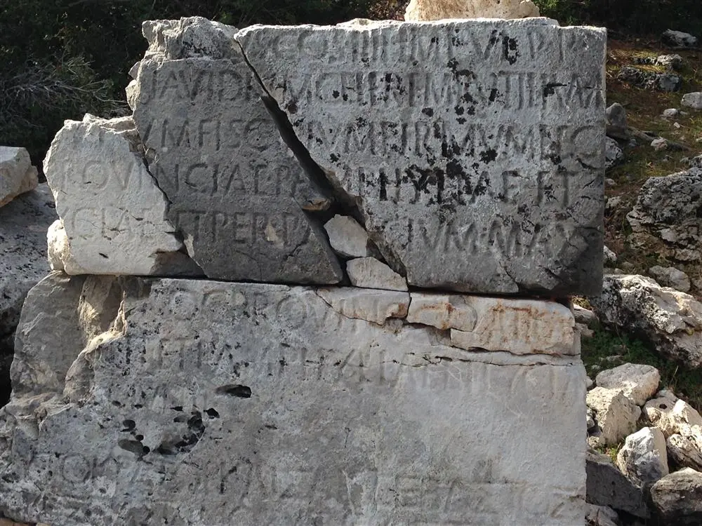
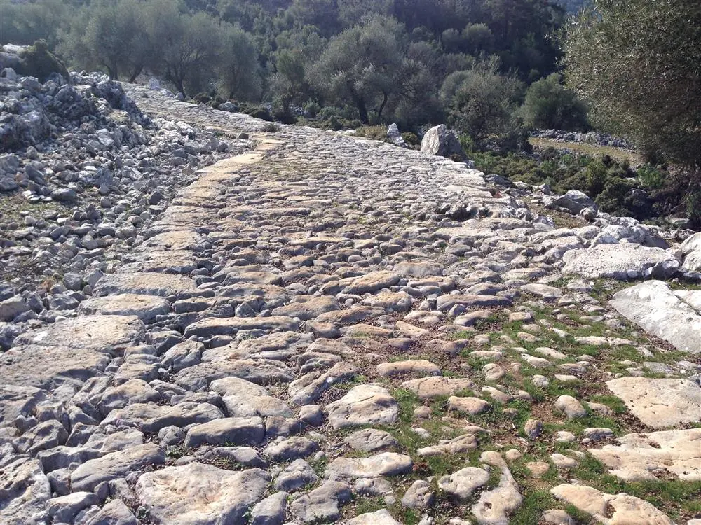
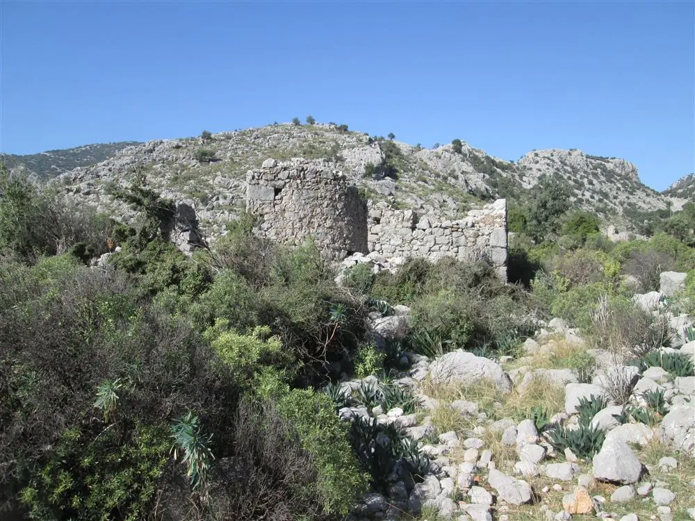
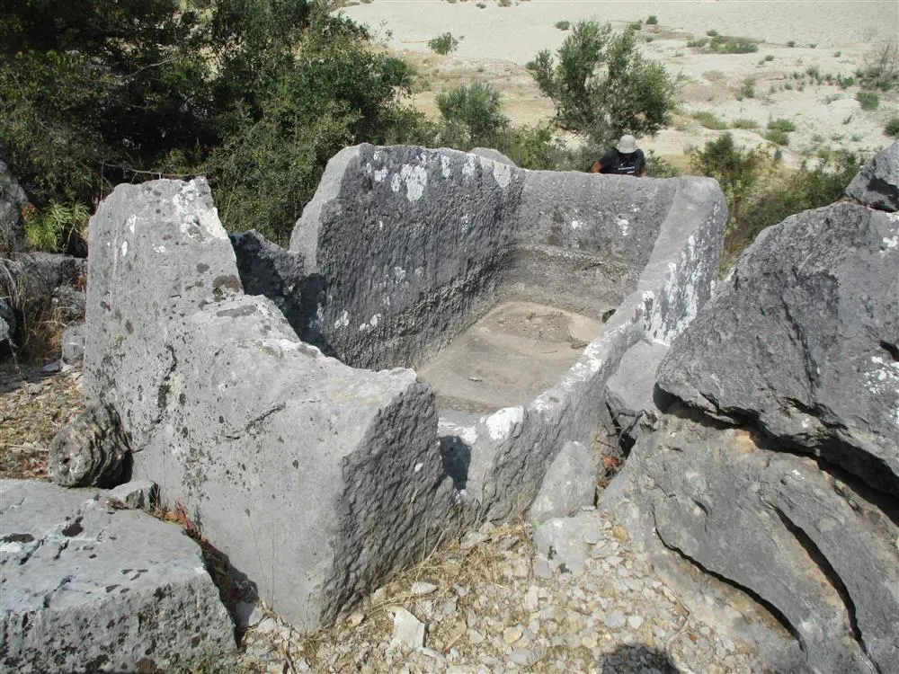
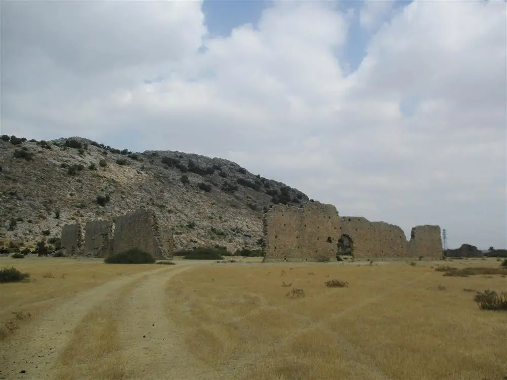
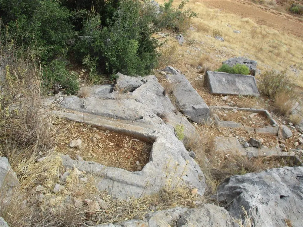
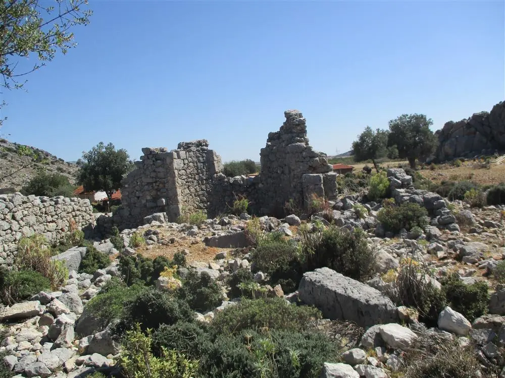
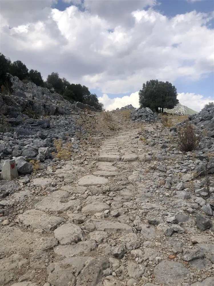
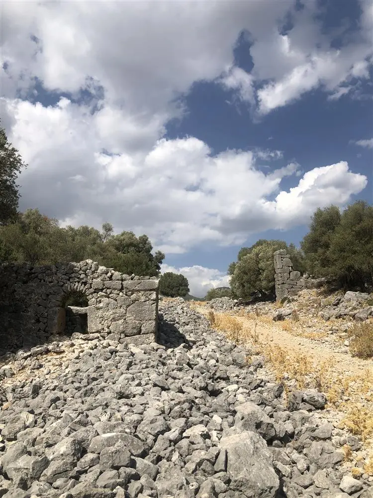
Derbent Strait, which was one of the roads connecting the cities of Pamphylia and Pisidia in ancient times, continued its function during the Byzantine and Seljuk-Ottoman periods, and even became a migration route for Yoruks until recent times.
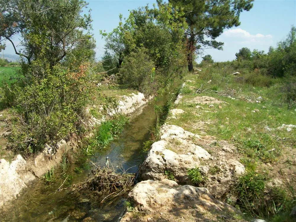
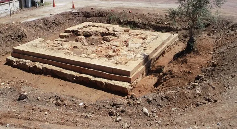
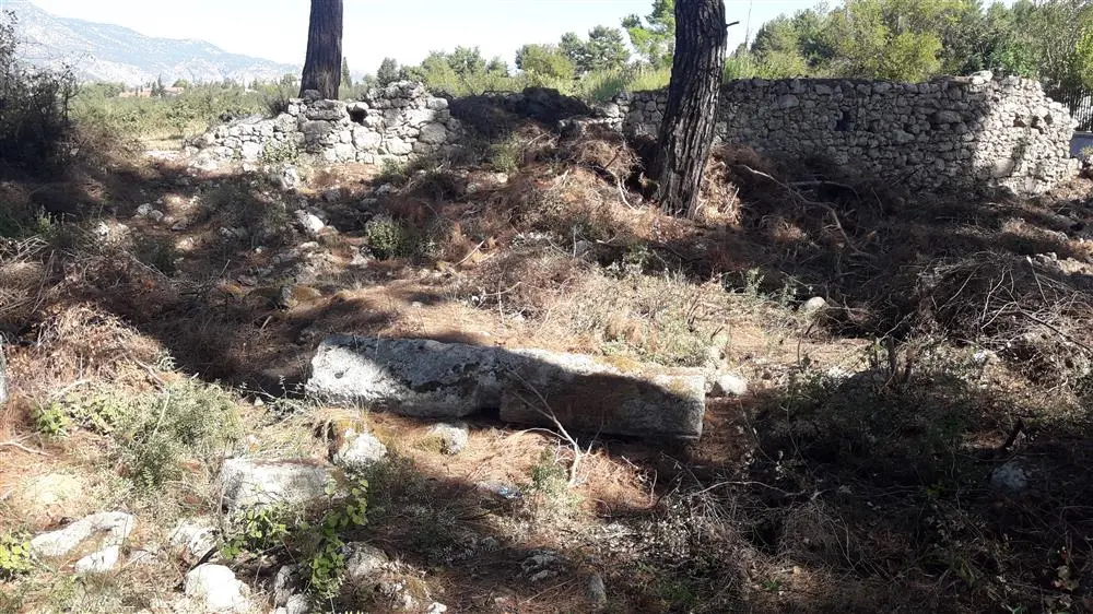
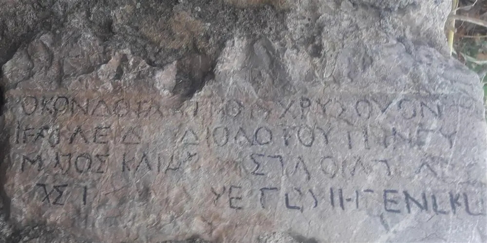
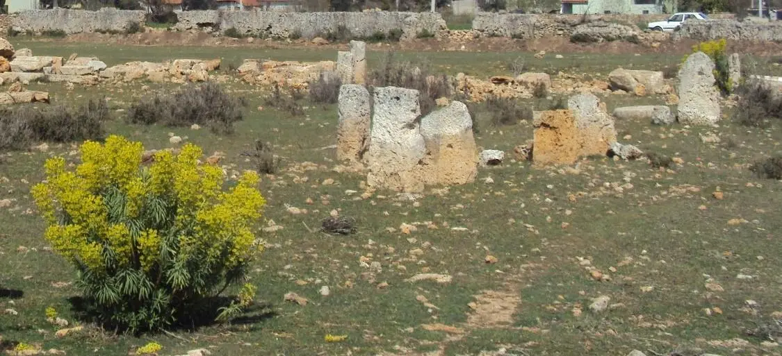
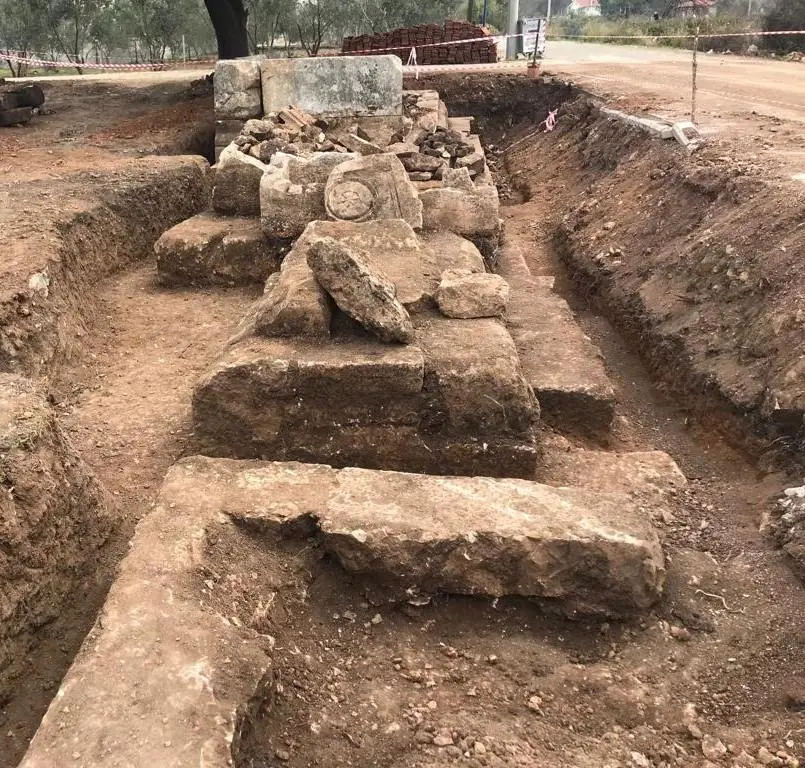
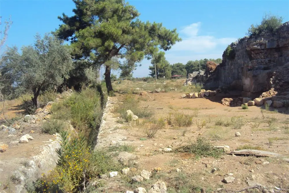
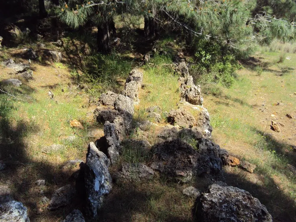
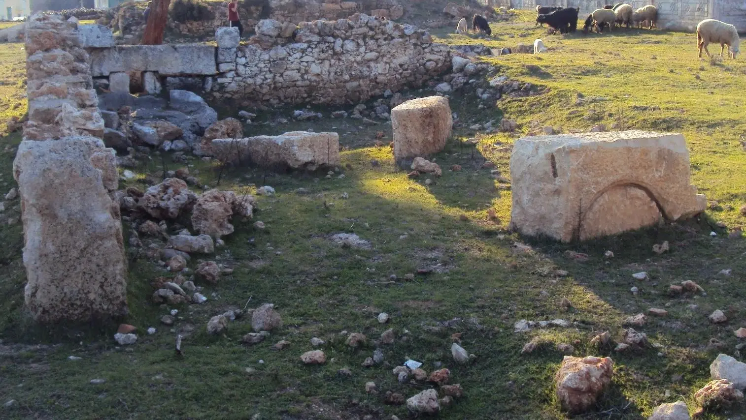
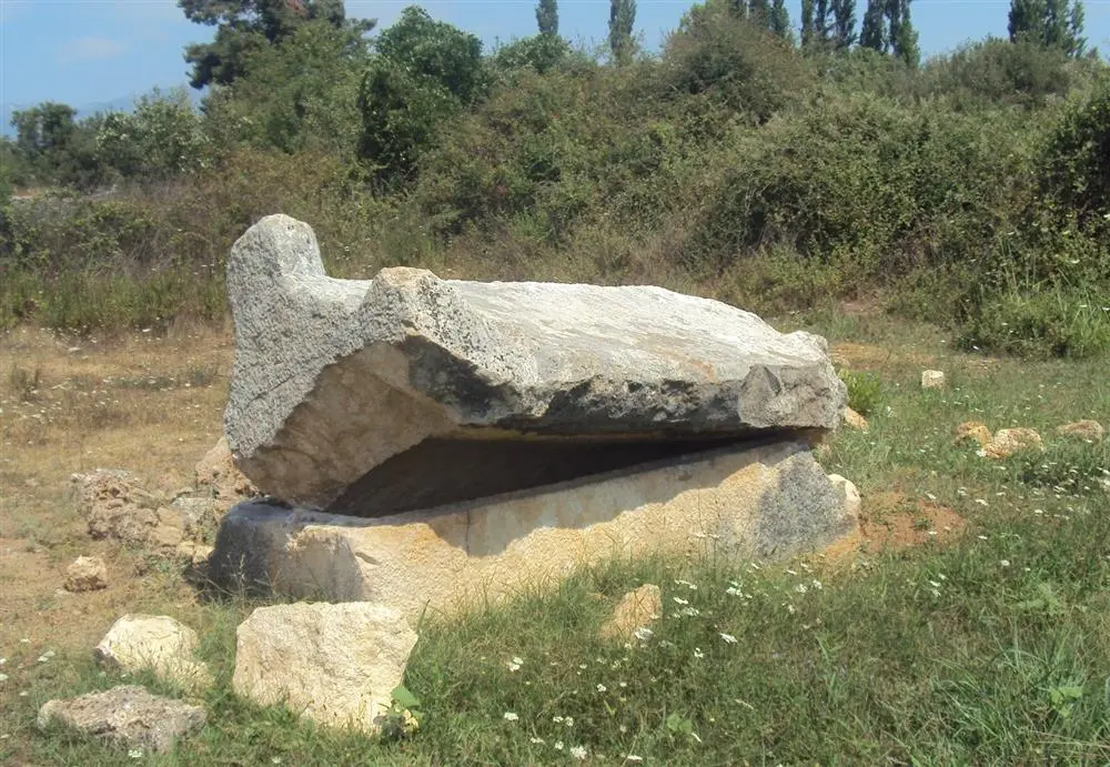
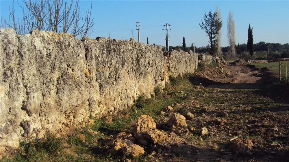
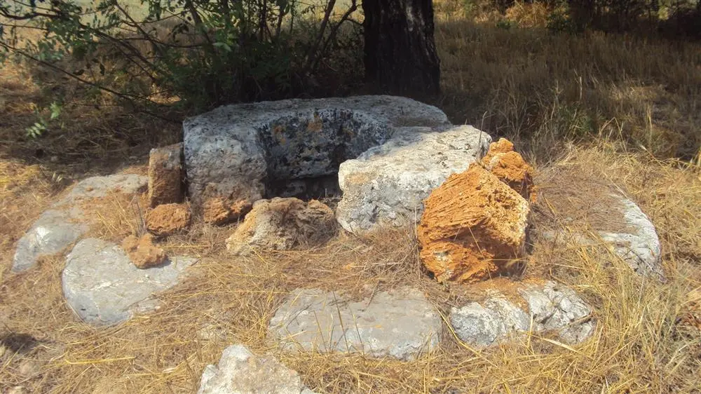
Eudokias is on the Antalya-Korkuteli highway, 17 km northwest of Antalya city center. The plain where Yukarıkaraman is located today formed the western edge of the Pamphylia Plain in ancient times, so the ancient city in question is essentially a Pamphylia settlement. Region M.S. Until 313 A.D. by Emperor Vespasian. It was counted within the united state of "Lykia and Pamphylia", which we know was founded in 74, and when Lykia and Pamphylia were separated from each other in 313 and became independent states, it remained within the borders of the state of "Pamphylia".
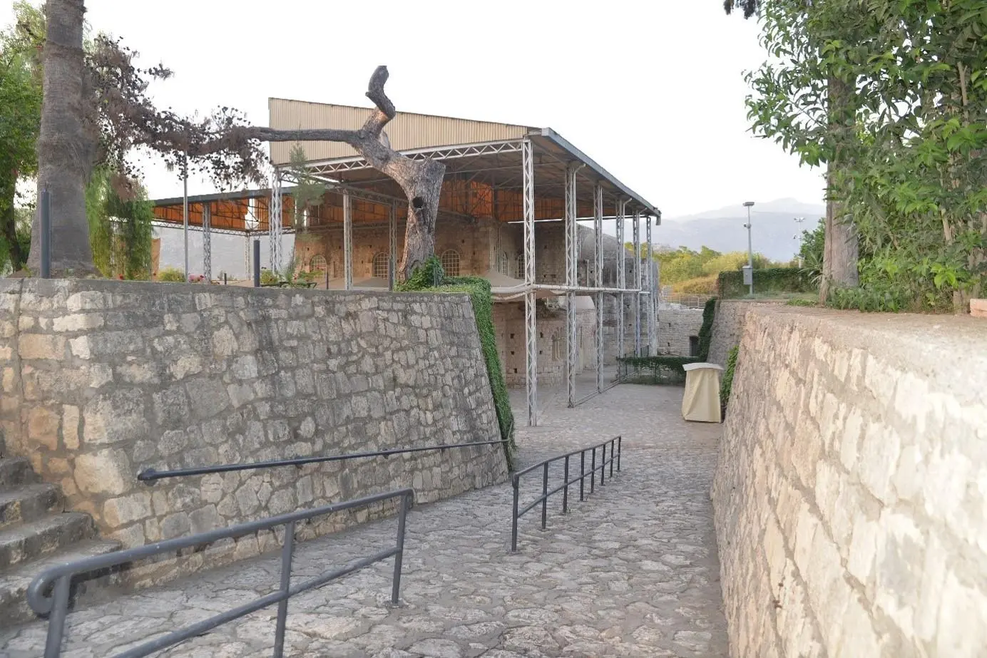
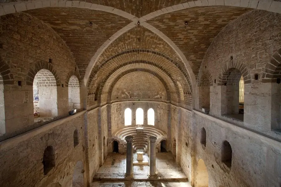
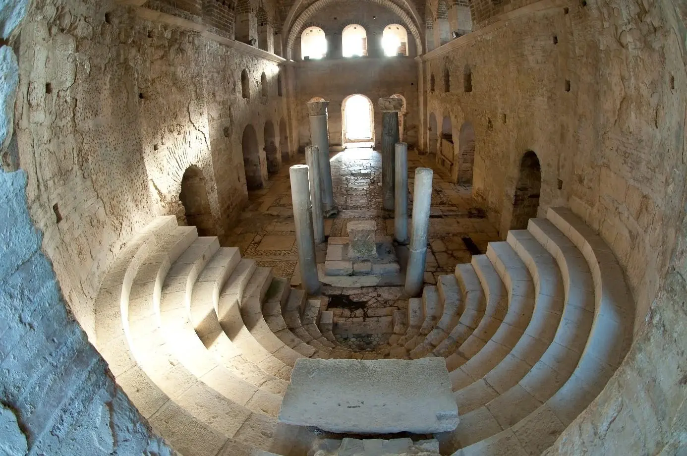
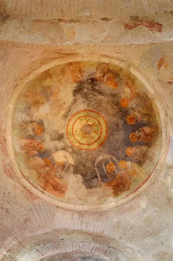
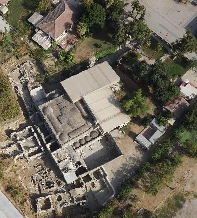
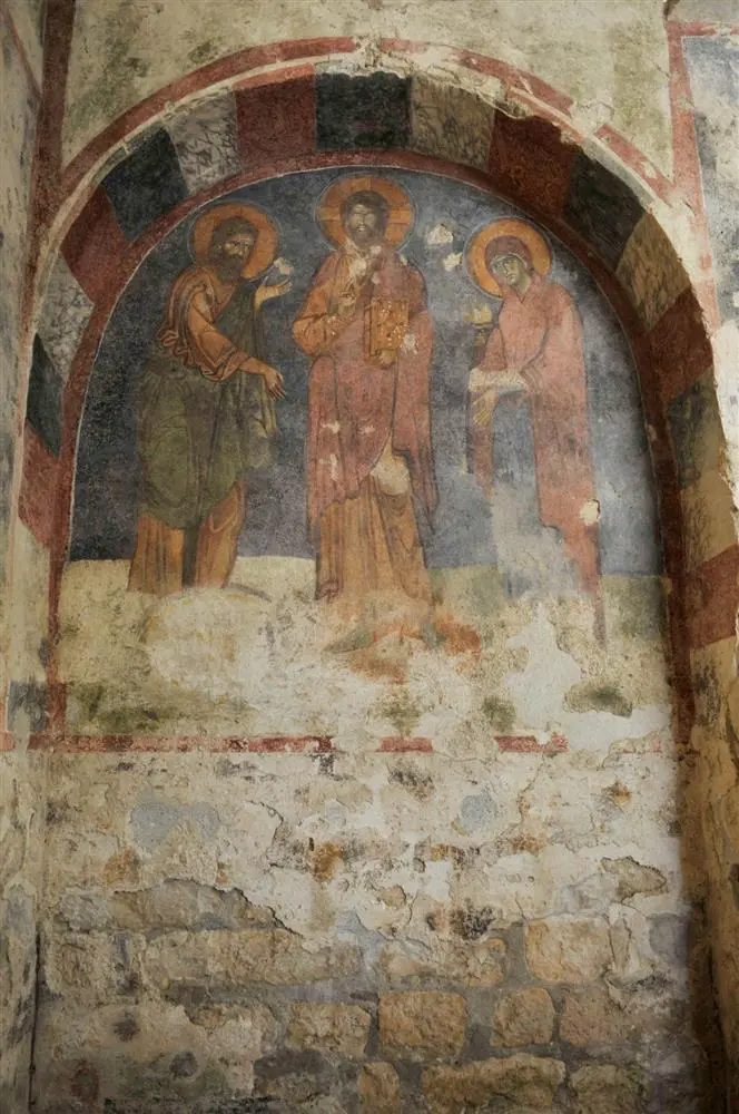
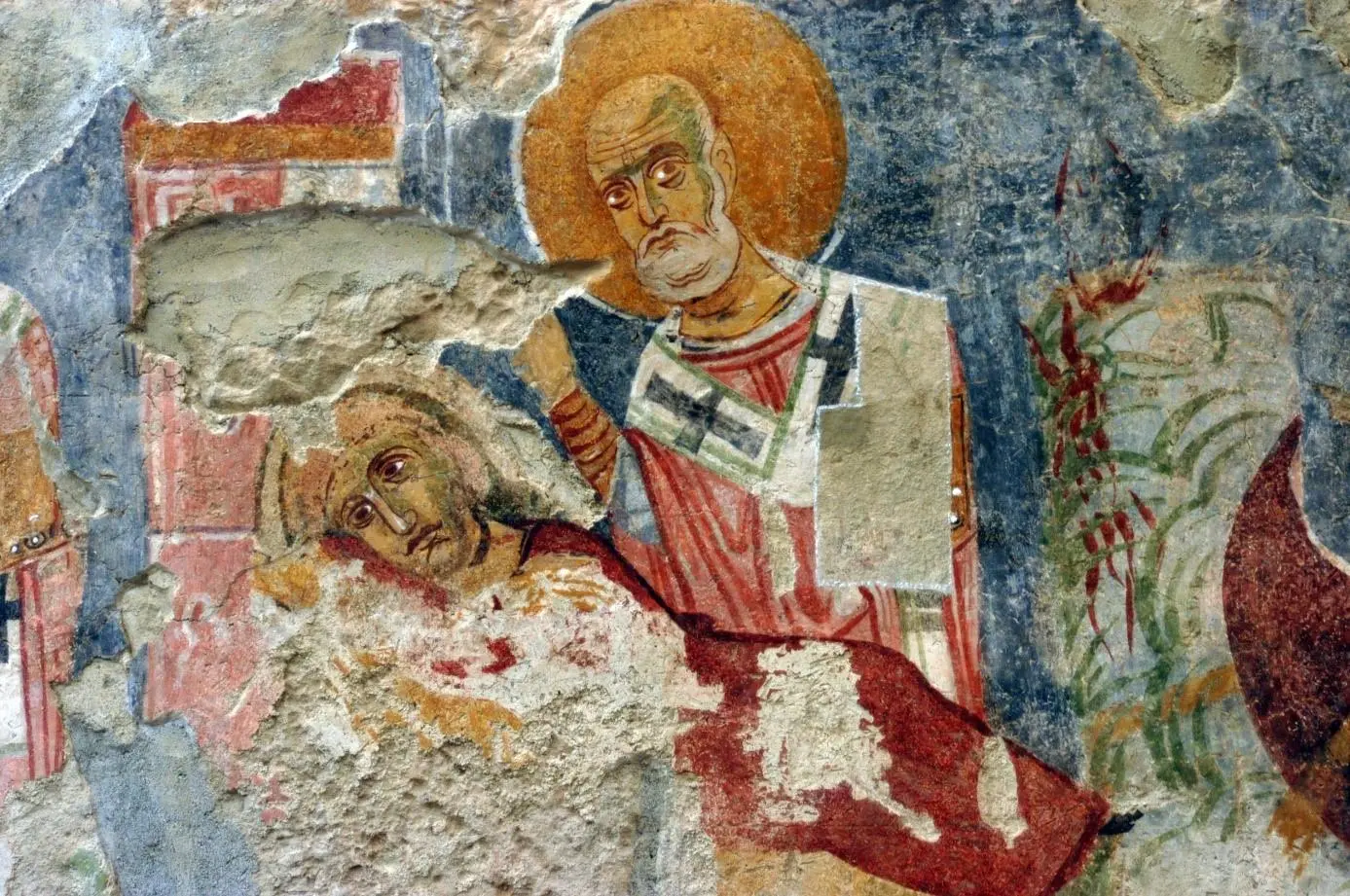
In the mid-5th century, during the reign of Emperor Theodosios II (408-450), Myra became the capital of the province of Lycia. During these years, the existence of Nikolaos' memorial building in Myra is known. In 529, after the great earthquake in the region, Emperor Iustinianos I (527-65) restored this building.
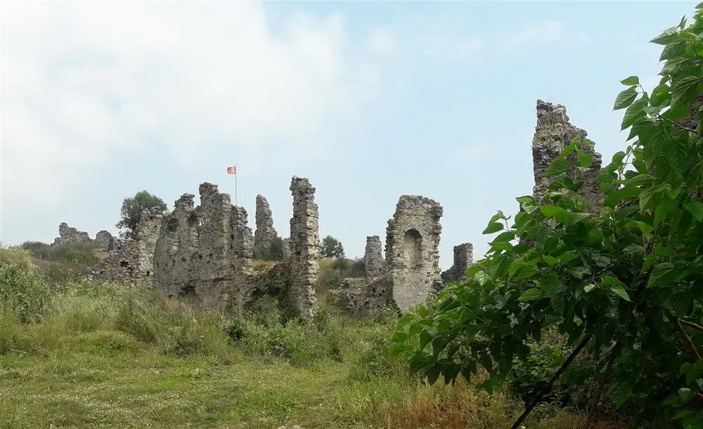
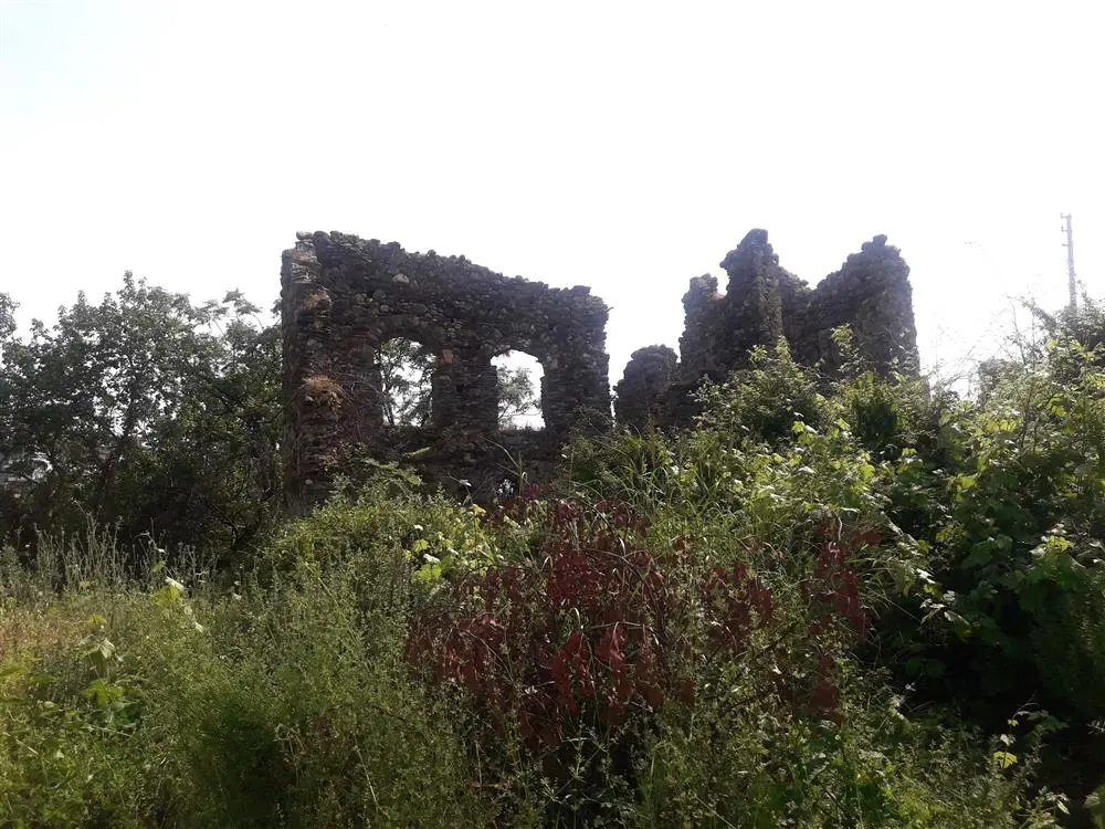
Naula Ancient City is located in Mahmutlar Mevkii, about 10 km. from Alanya district of Antalya. The ancient city is located on the flat area northeast of Mahmutlar.
There are opinions that the city, whose history is not well documented, was the harbor of the nearby ancient city of Leartes. Architecturally, the two cities have similar features.
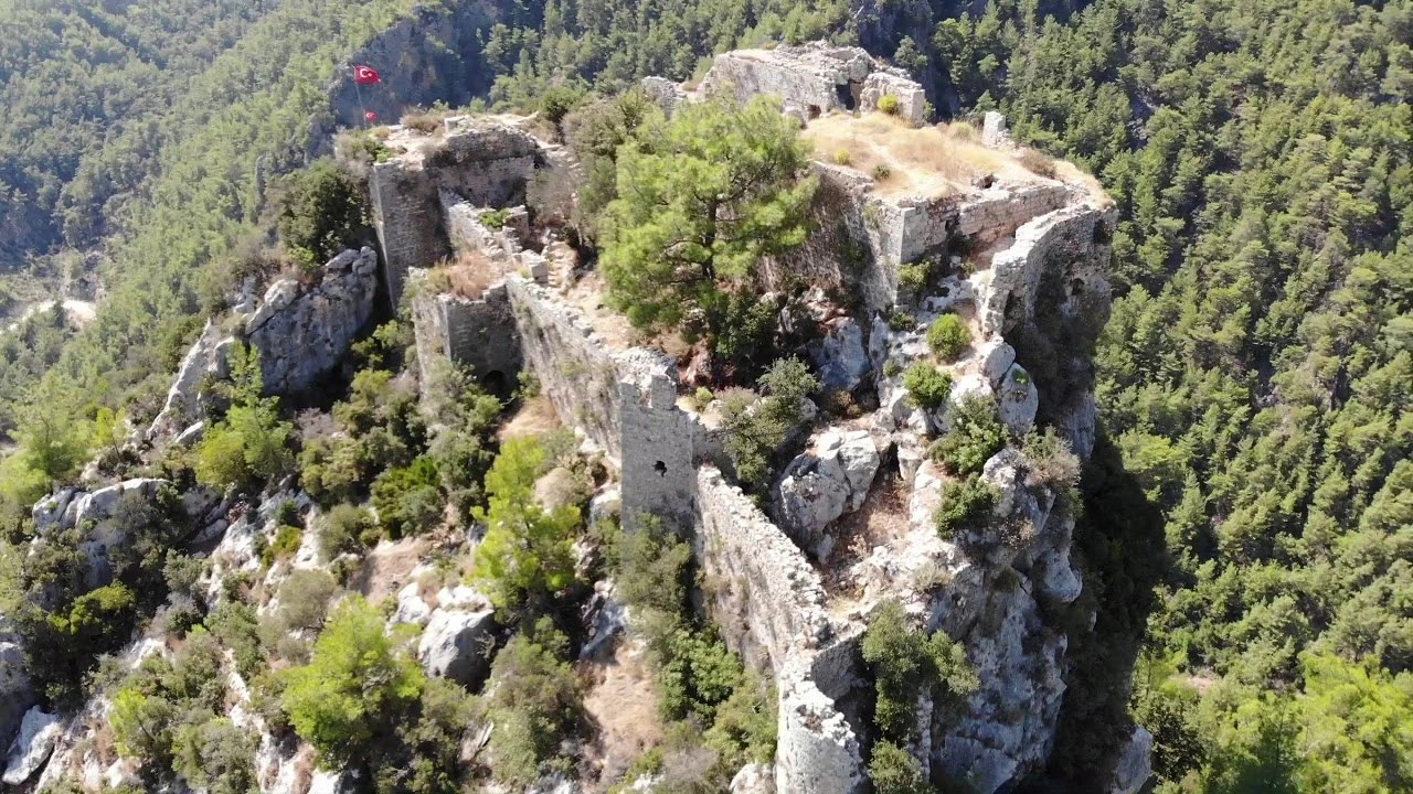
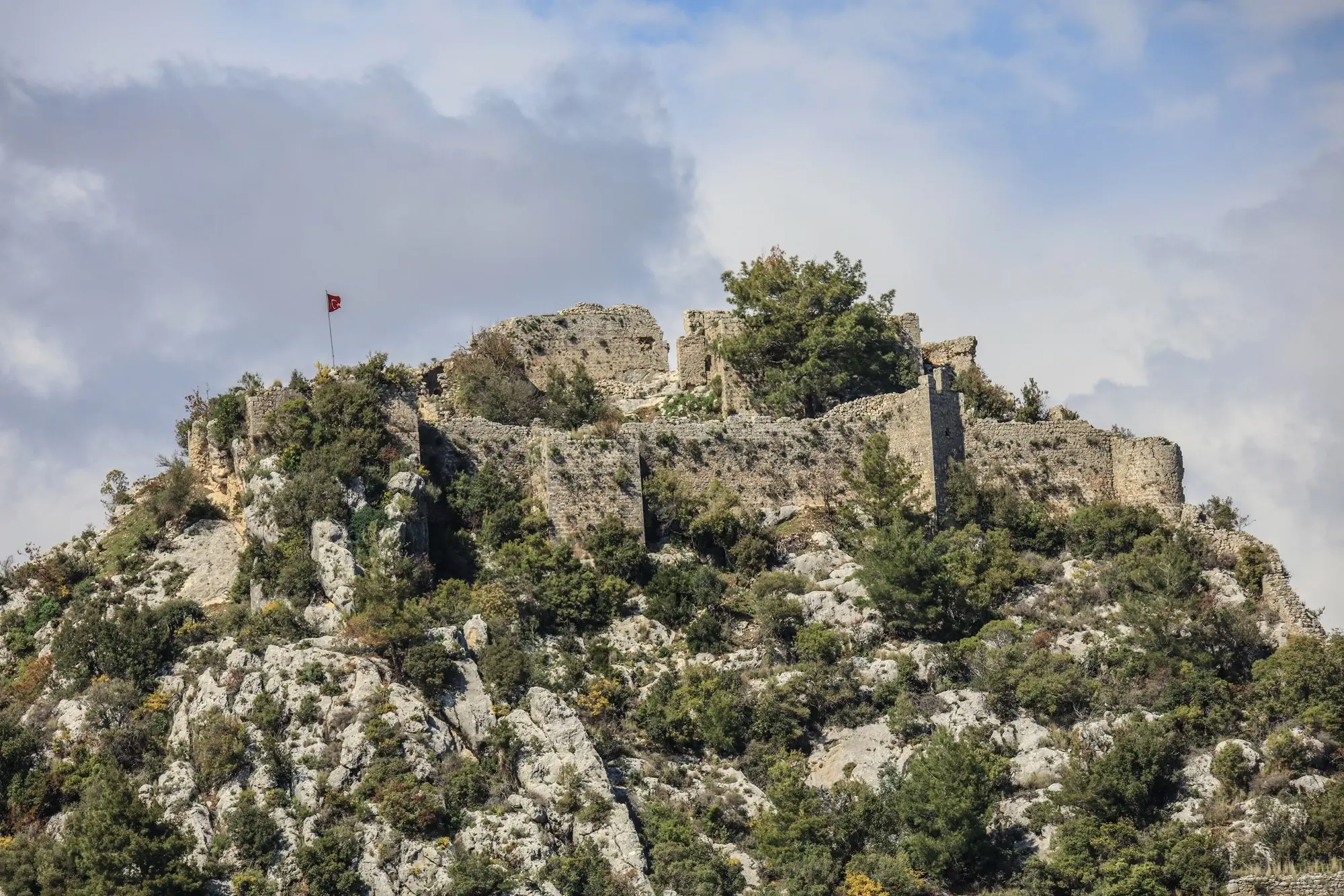
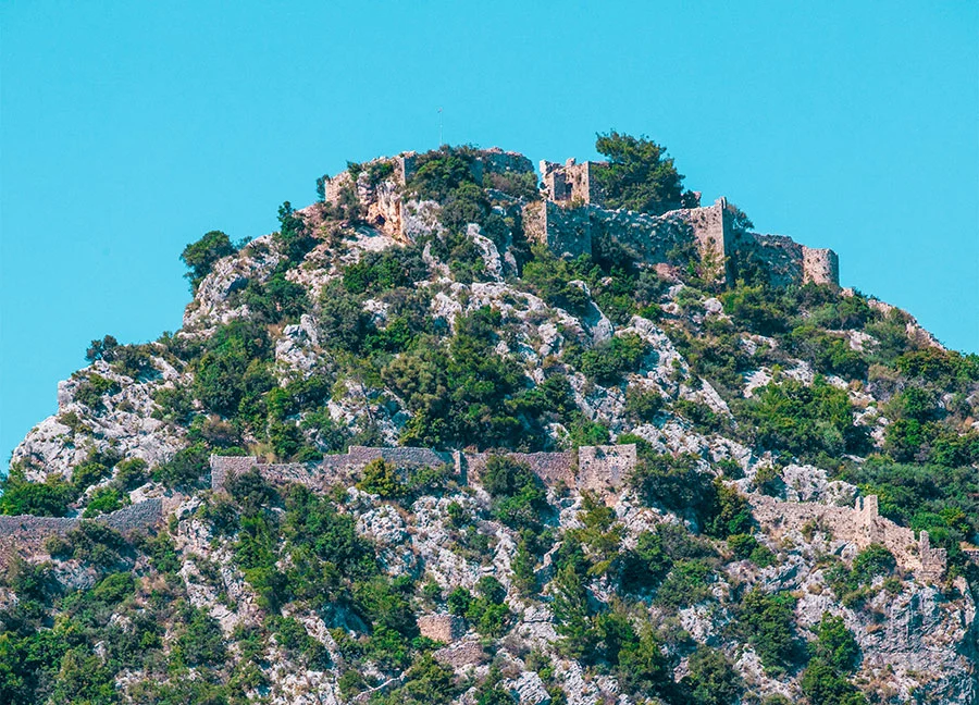
Alara Castle, 37 kilometres west of Alanya, 7 kilometres inland from the sea, was built by the Seljuk Sultan Alaeddin Keykubad I in 1232. The function of the castle on the Silk Road is to ensure the safety of the caravans stopping at Alara Han on the banks of Alara Stream. The castle was built on a steep hill ranging from 200 metres to 500 metres. It has a majestic appearance.
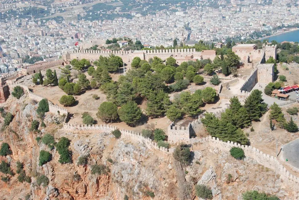
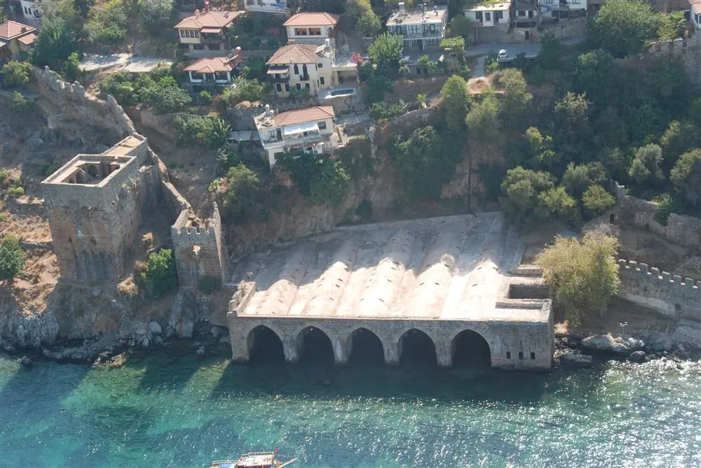
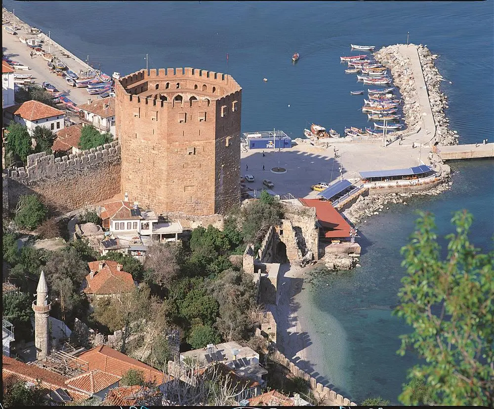
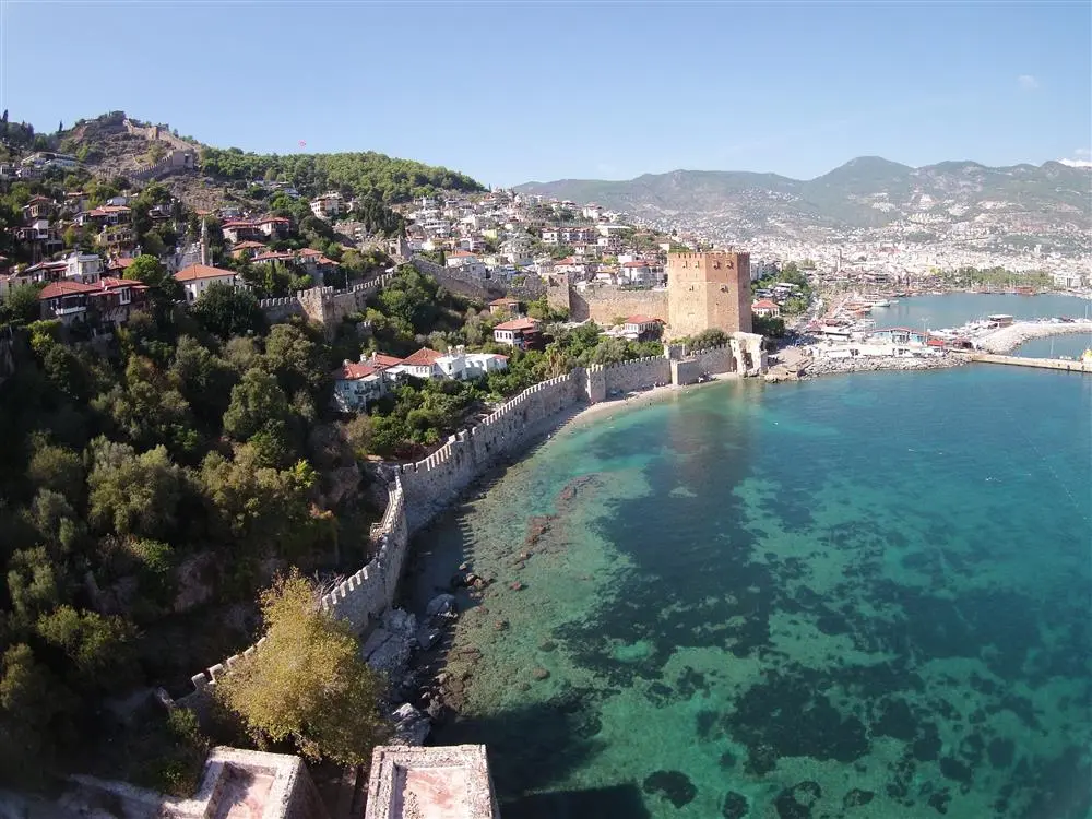
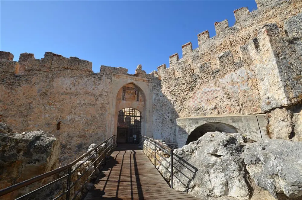
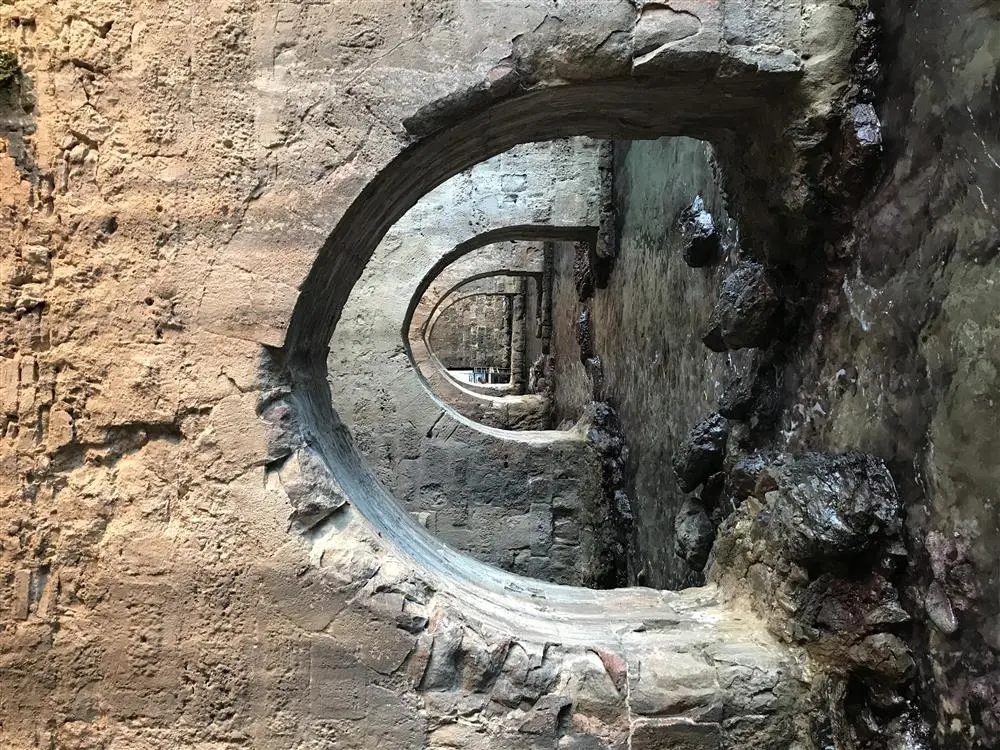
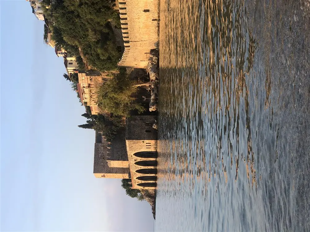
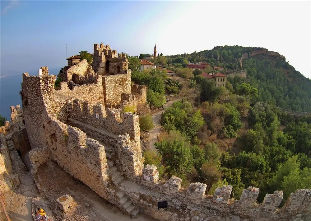
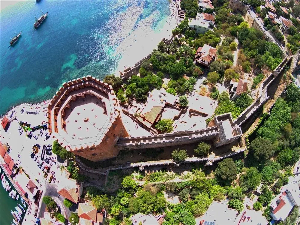
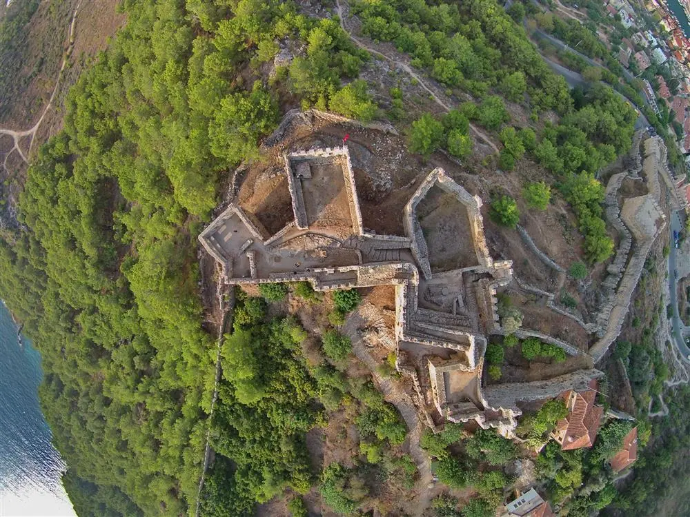
A 10-hectare peninsula surrounded by 6 km of ramparts
Korakesion became a pirate port and centre in the second century BC as an ideal refuge for pirates and rebels, thanks to its natural ease of defence even with a small military force and its sheltered harbour. The Hellenistic fortification wall with large block stones and mortar in the part of the Middle Fortress from Arap Evliyası to Ehmedek dates back to the period of Diototos Tryphon, the ruler of the city in the second century BC.
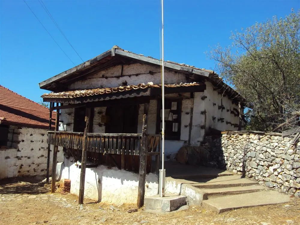
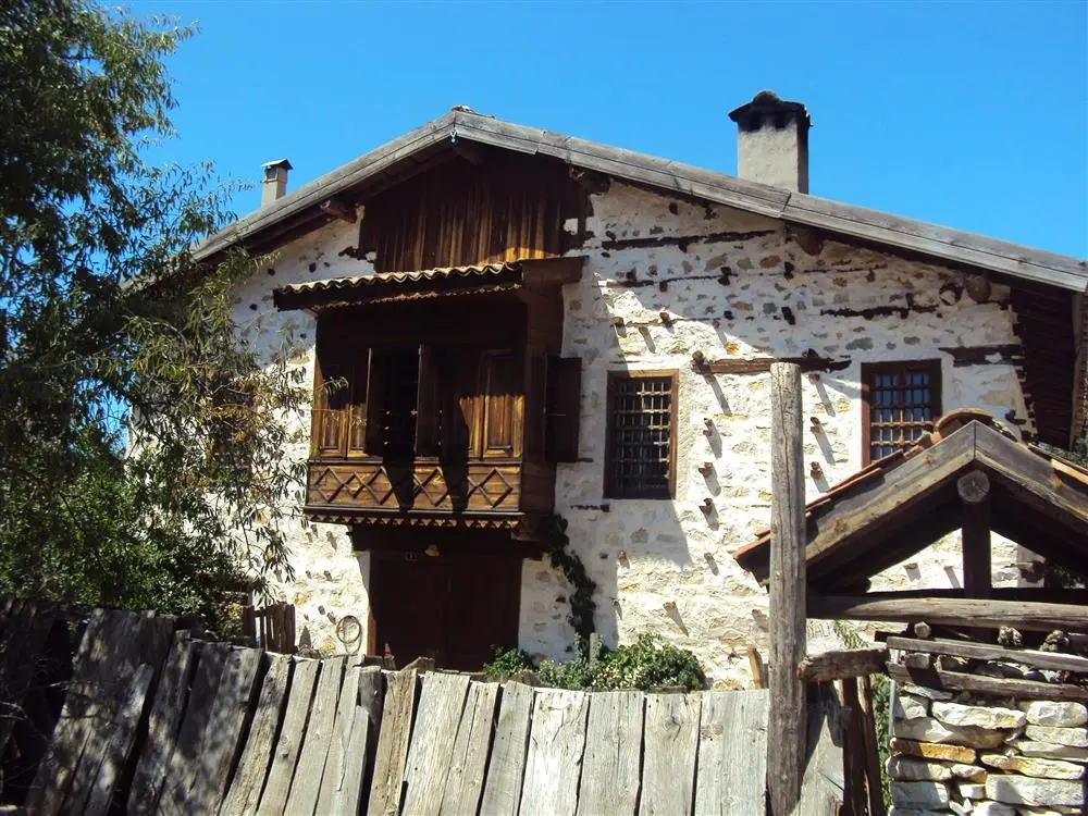
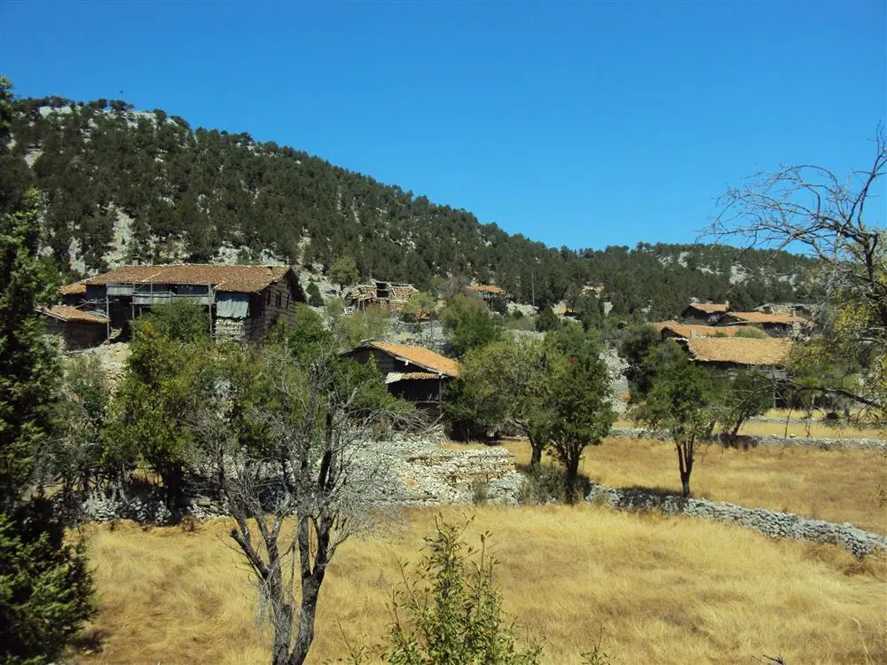
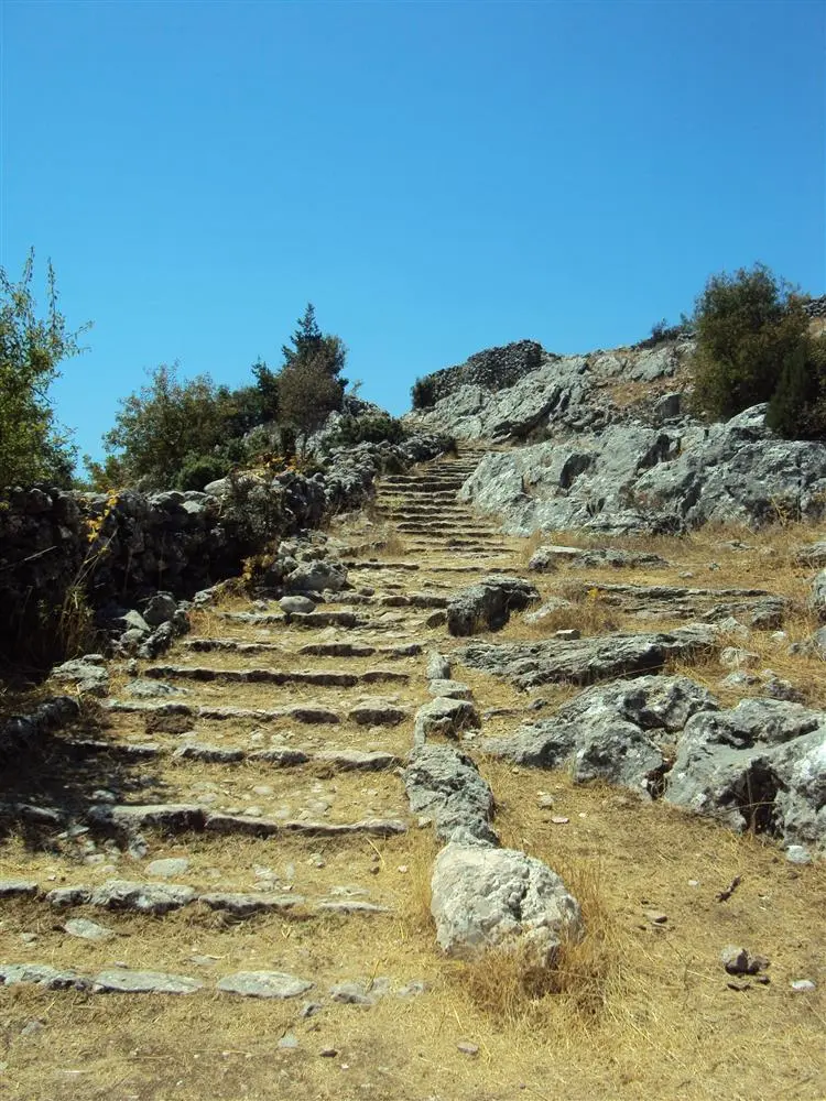
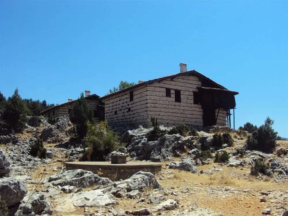
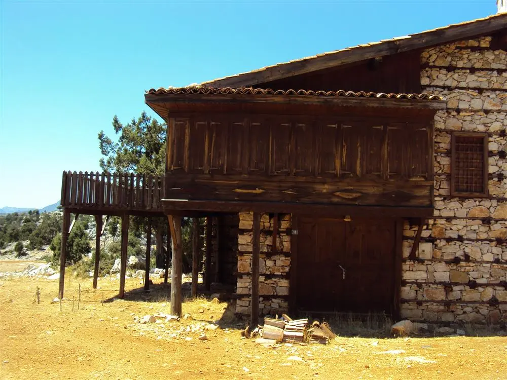
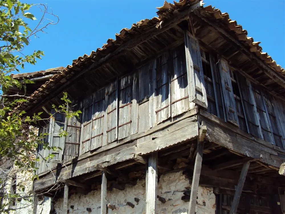
They are villages in the Akseki district of Antalya province. The structures with the "buttoned" construction technique, unique to the Akseki-İbradı basin, are important features that create the need to preserve the traditional durability that has survived until it breaks. The woodwork in the structural system and elements of these buildings is also unique to the region and is divided and valuable.
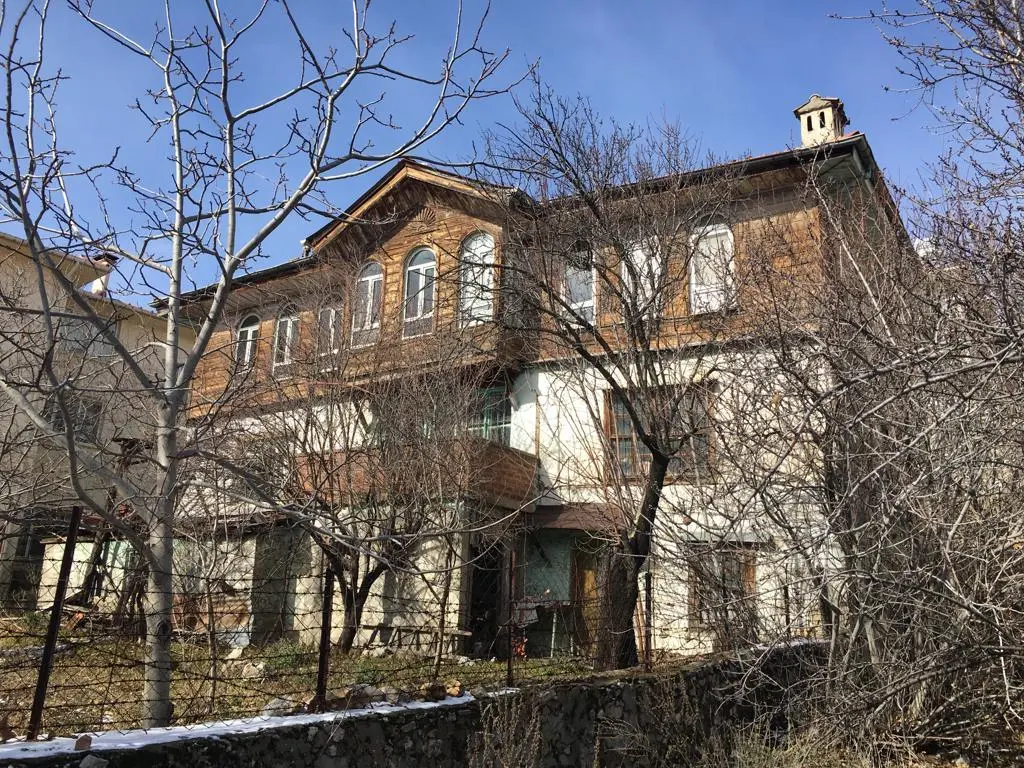
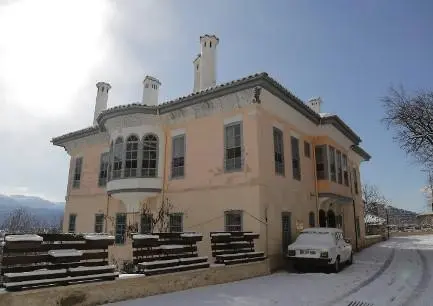
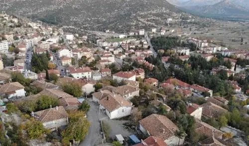
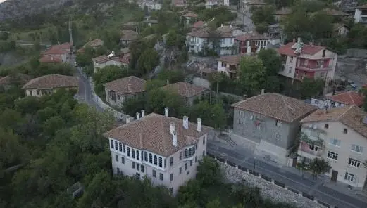
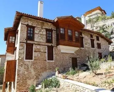
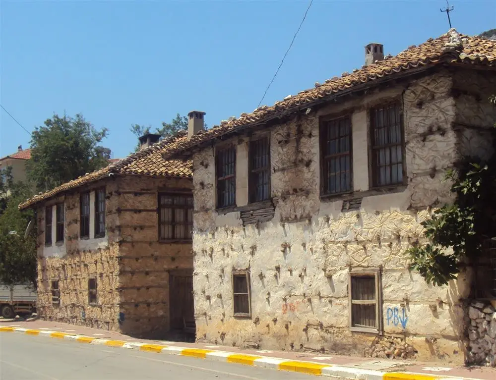
They are villages in the Akseki district of Antalya province. The structures with the "buttoned" construction technique, unique to the Akseki-İbradı basin, are important features that create the need to preserve the traditional durability that has survived until it breaks. The woodwork in the structural system and elements of these buildings is also unique to the region and is divided and valuable.
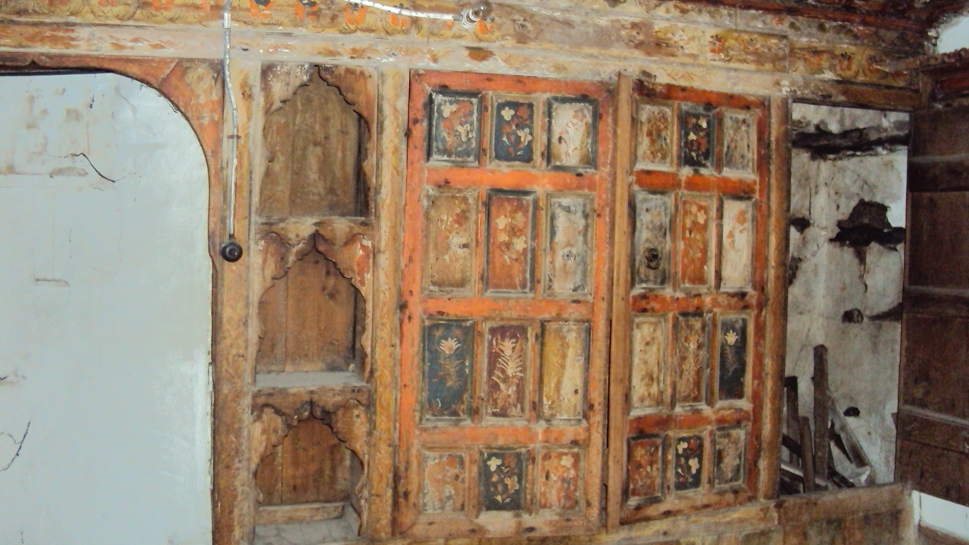
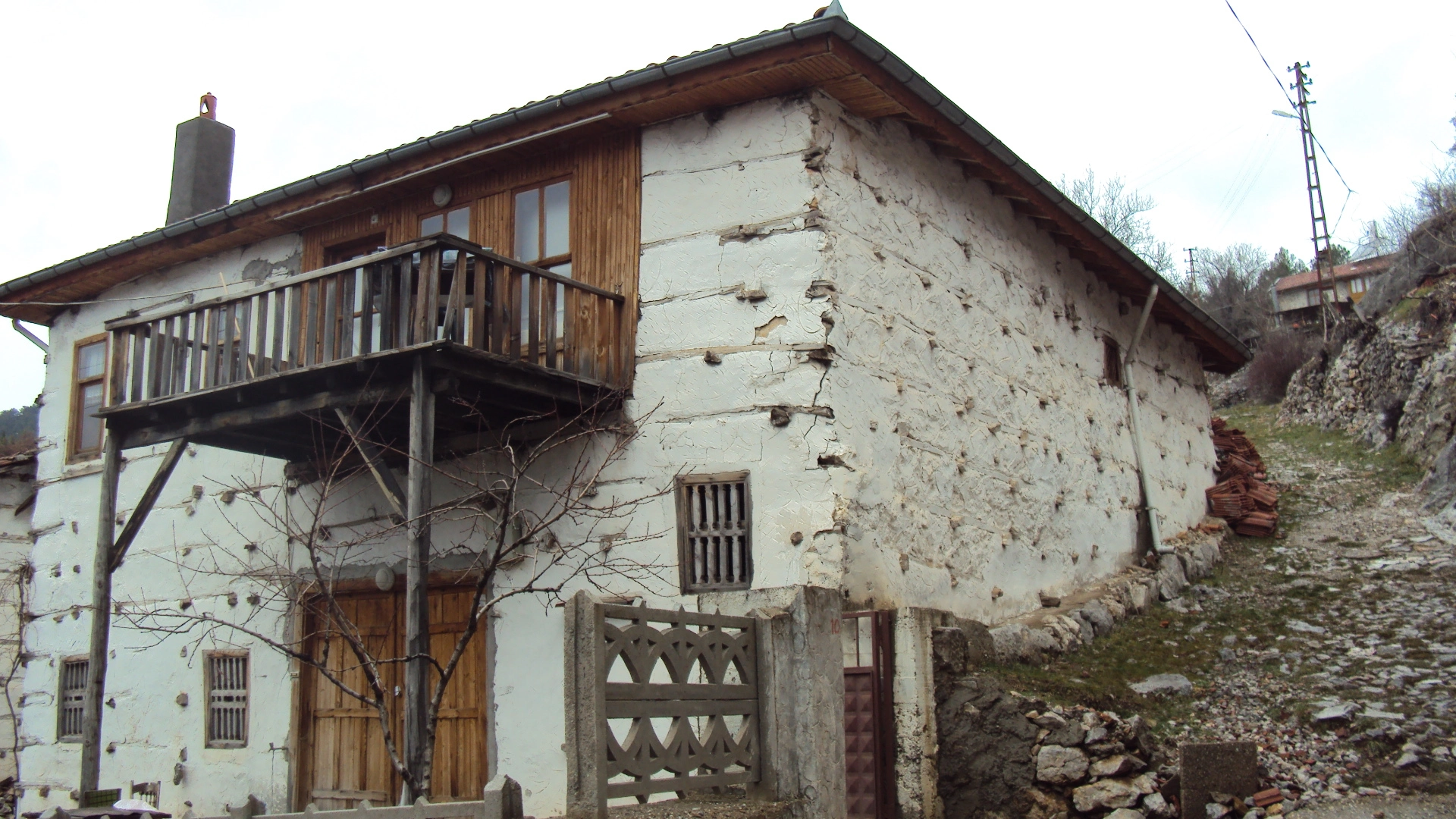
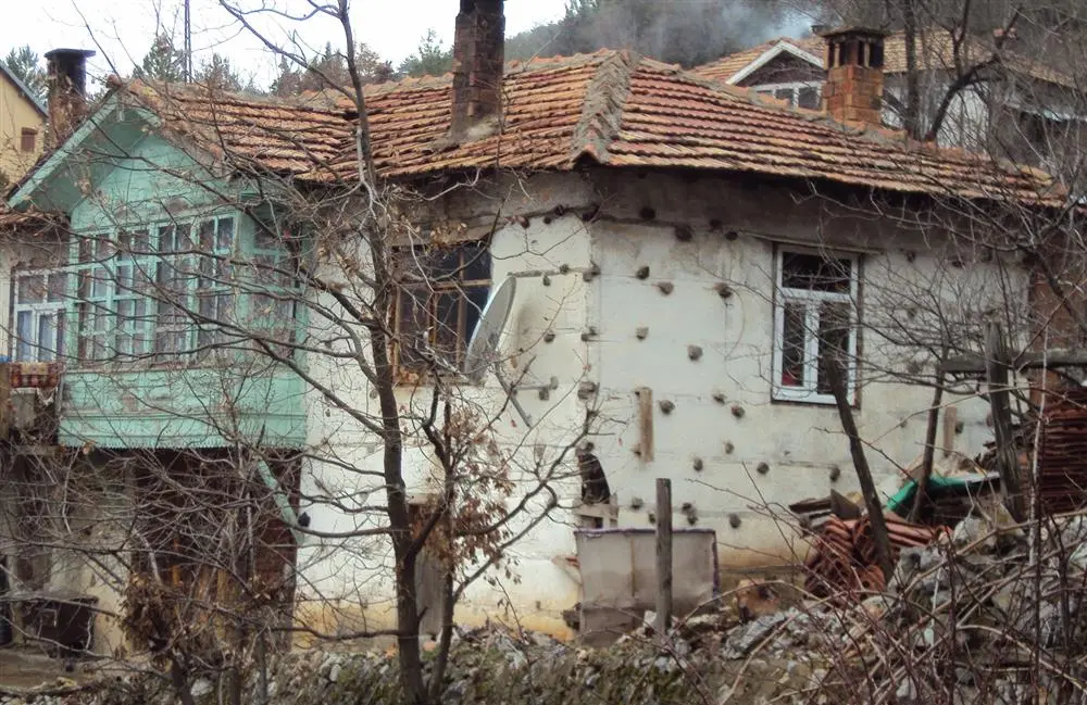
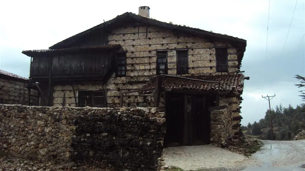
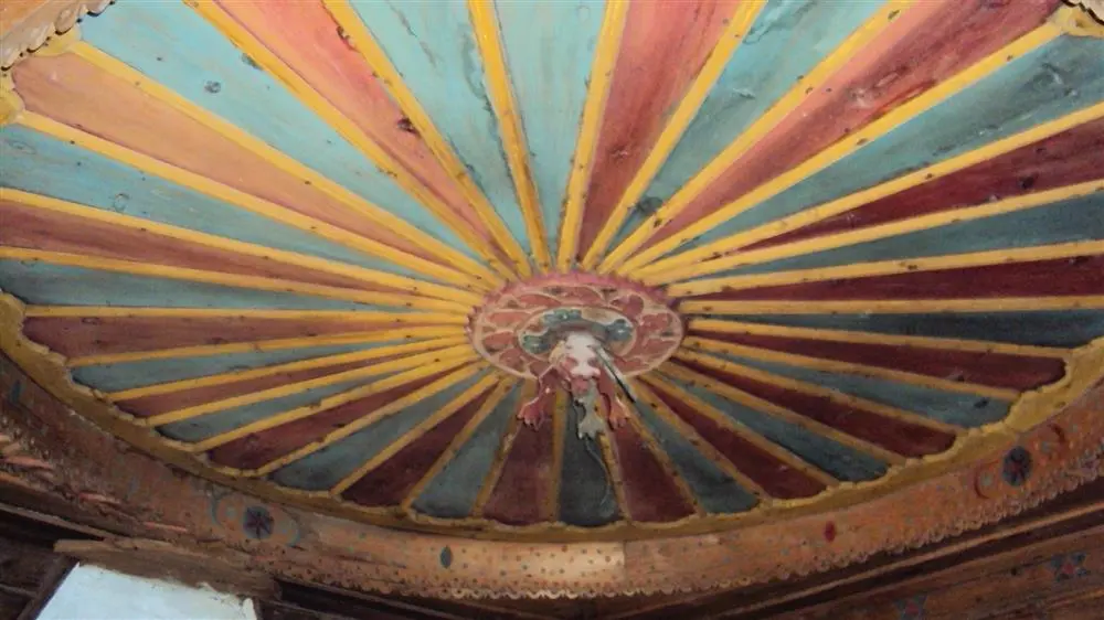
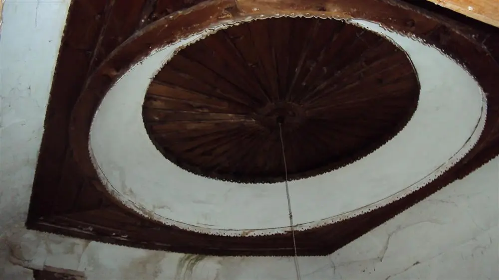
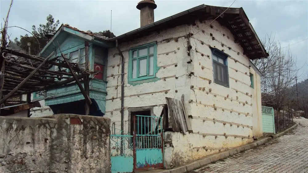
Akseki district of Antalya province mountain villages. "buttoned" construction, typical of the Akseki- Ibradı basin structures and traditional buildings that have survived to the present day intact. texture are important qualities in need of preservation.
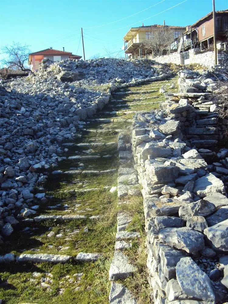
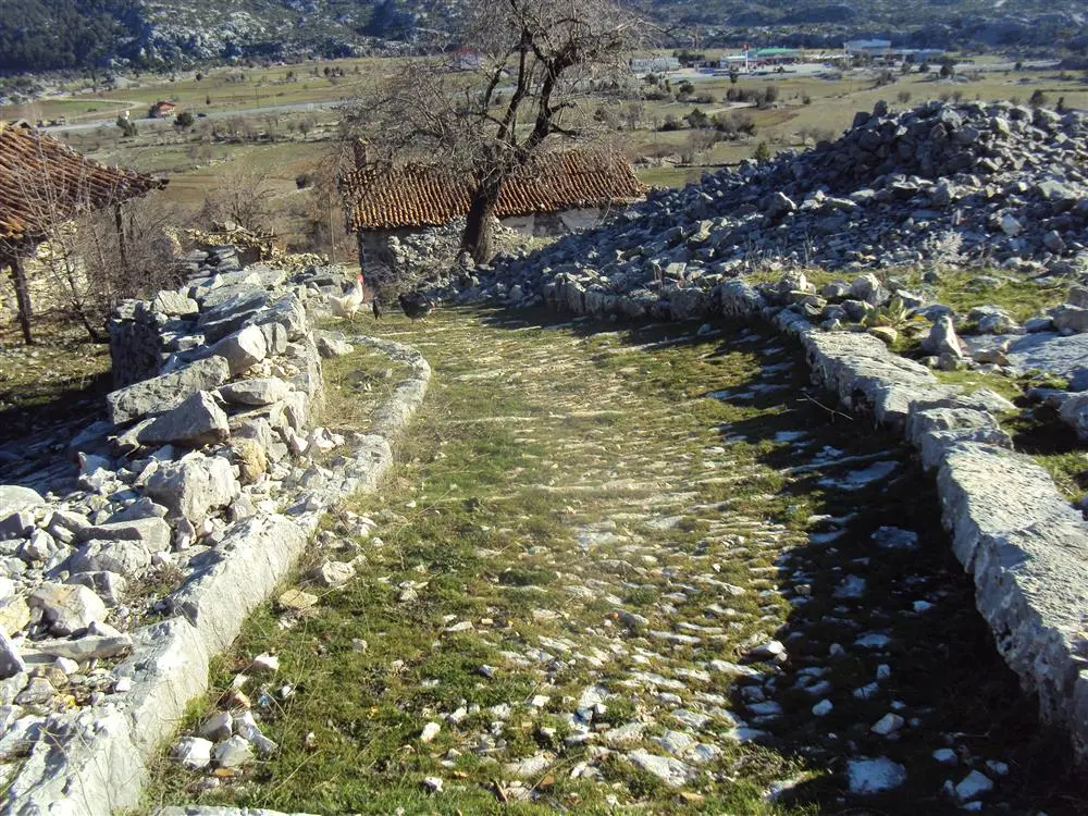
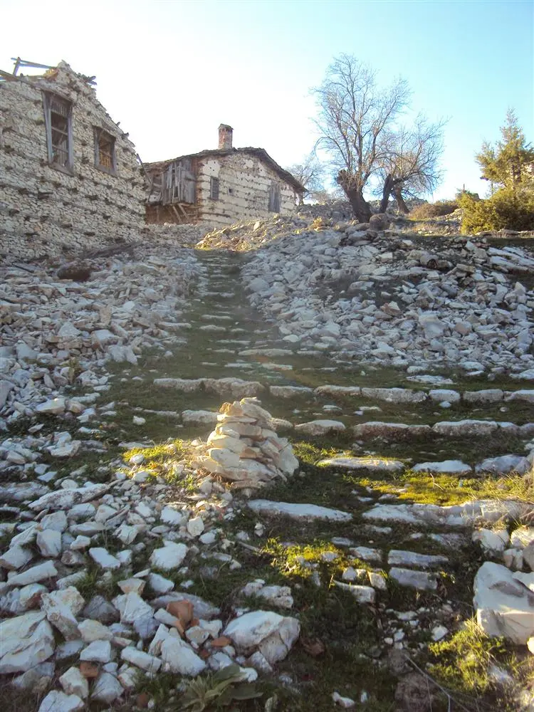
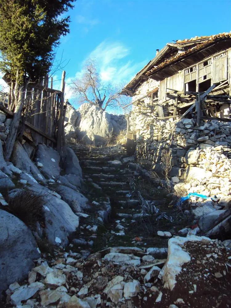

Akseki district of Antalya province mountain villages. "buttoned" construction, typical of the Akseki- Ibradı basin structures and traditional buildings that have survived to the present day intact texture are important qualities in need of preservation.
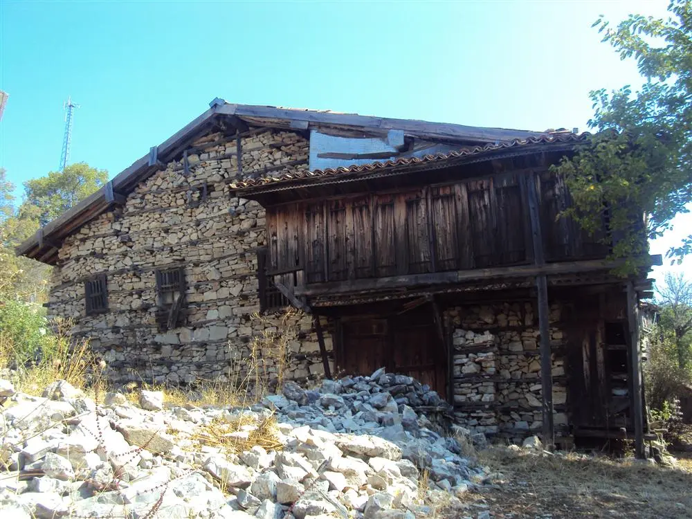
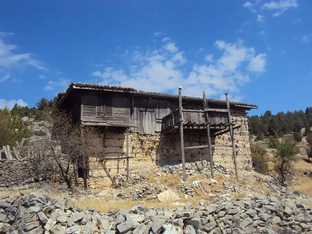
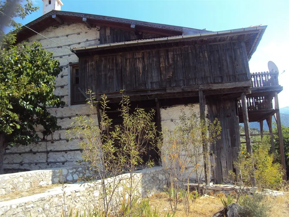
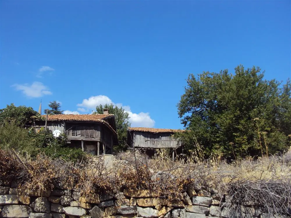
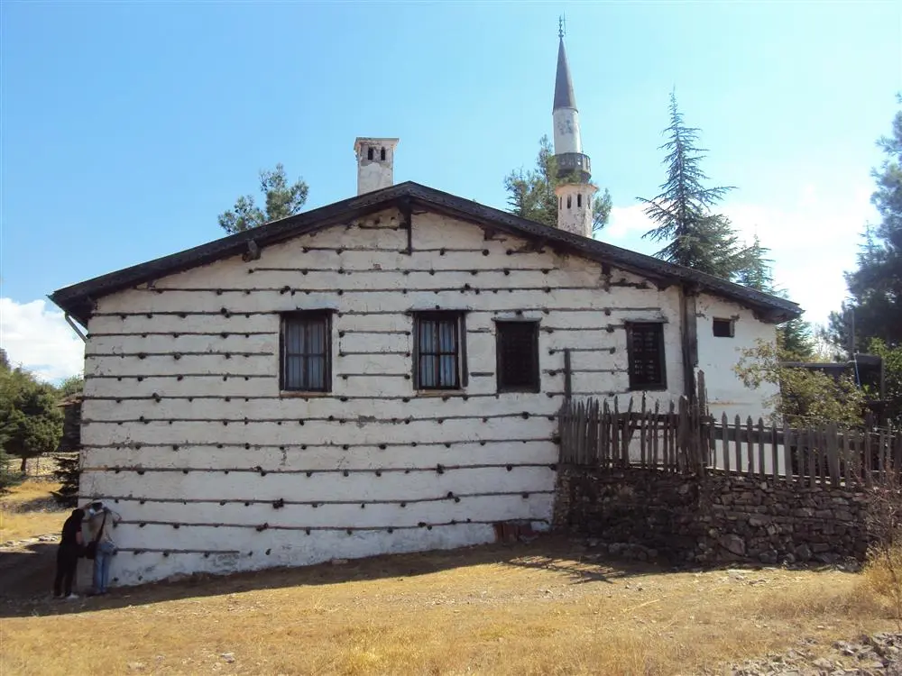
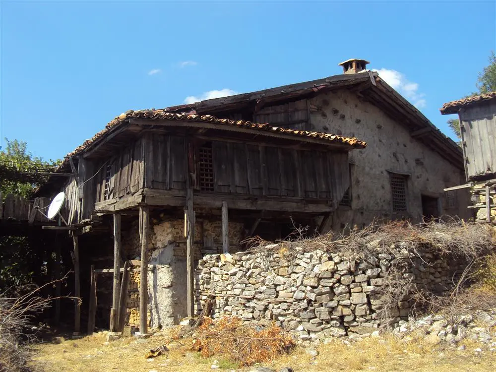
Akseki district of Antalya province mountain villages. "buttoned" construction, typical of the Akseki- Ibradı basin structures and traditional buildings that have survived to the present day intact texture are important qualities in need of preservation.
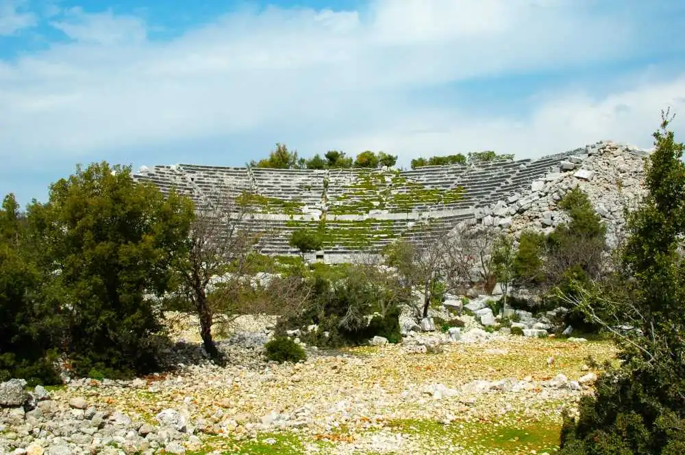
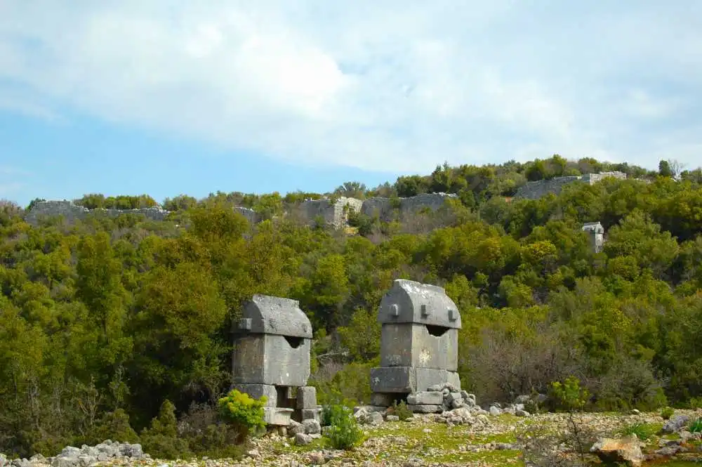
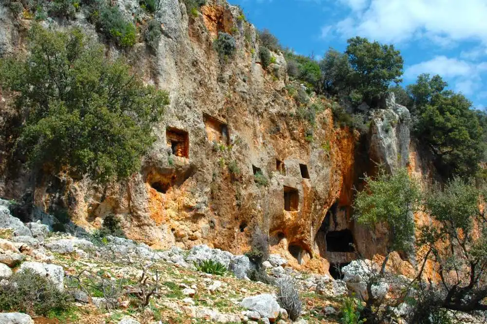
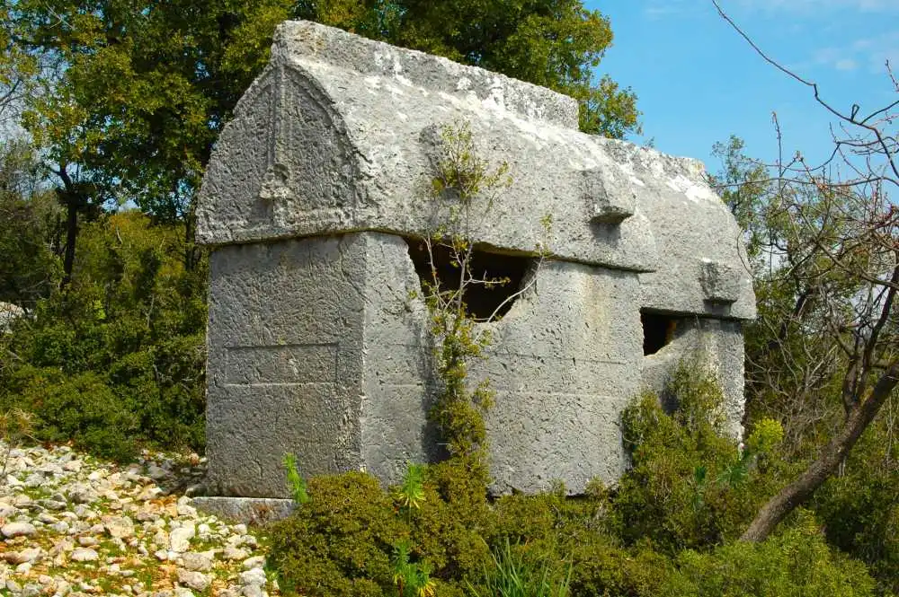
Located on the Demre-Kas highway, on the hill plain that borders the north of today's Yavu Neighborhood and extends in the east-west direction, the ancient city of Kyaenai is one of the Lycian cities that managed to survive with its impressive structures. Located in a dominant position between Antiphellos (Kaş) and Myra (Demre), this ancient city is only 5 km from Üçağız Harbor. The name of the city, whose Lycian name is unknown, is of Greek origin like Xanthos and means "dark blue". Apart from its color meaning, Kyaenai is also known as "ringing rocks".
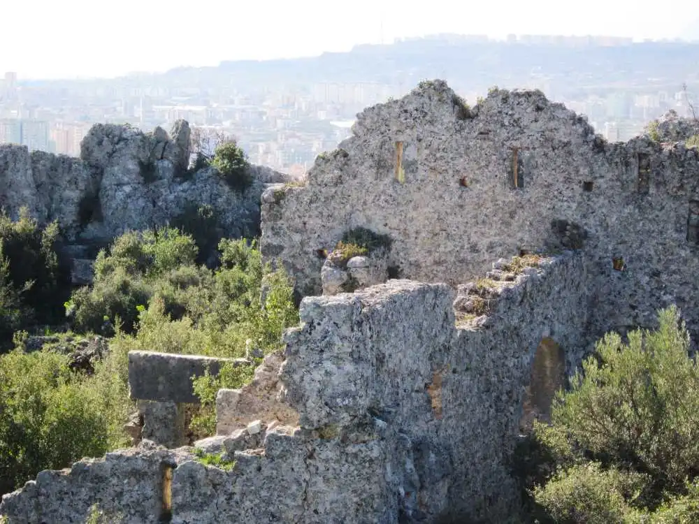
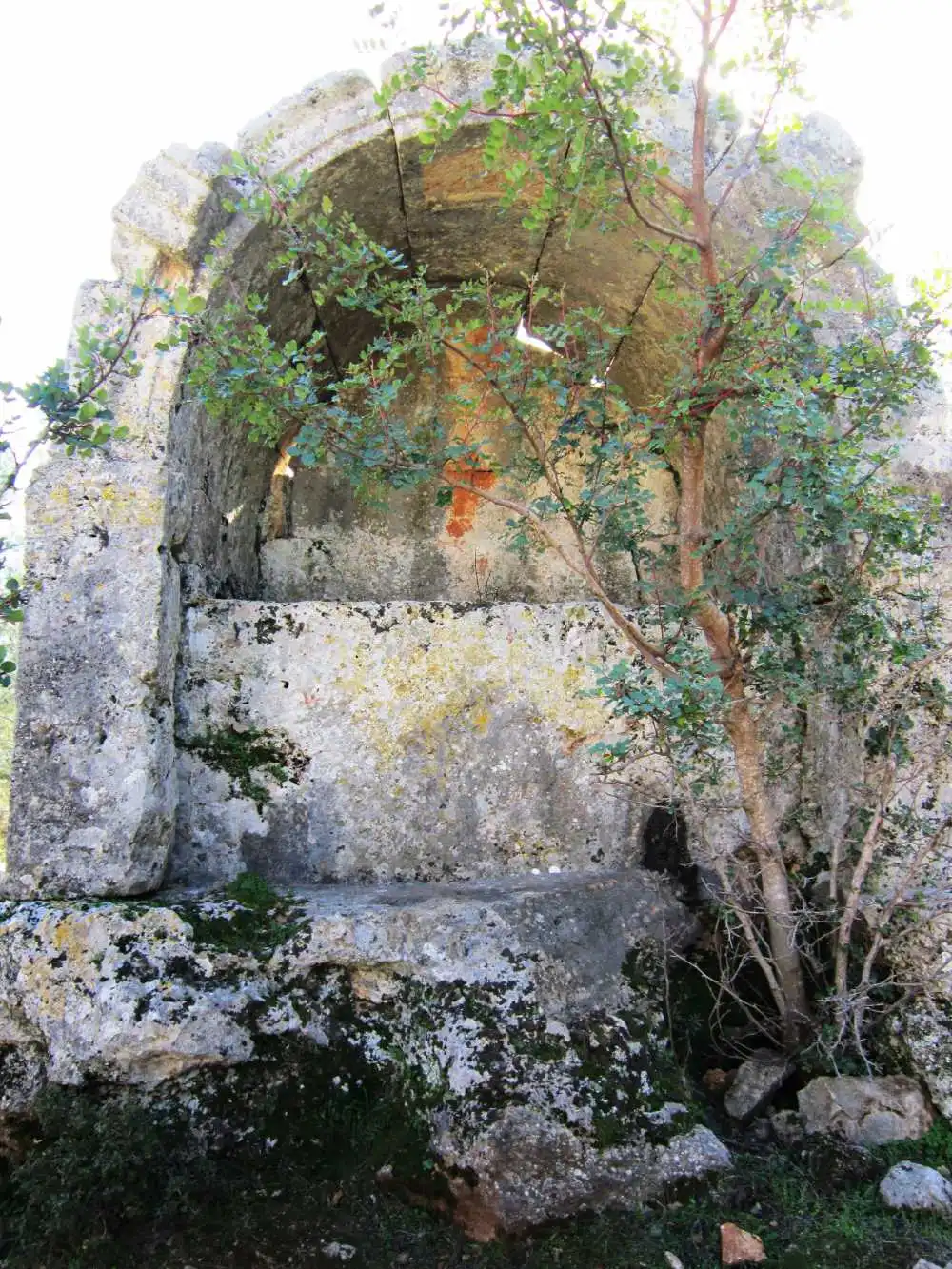
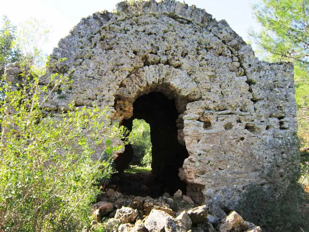
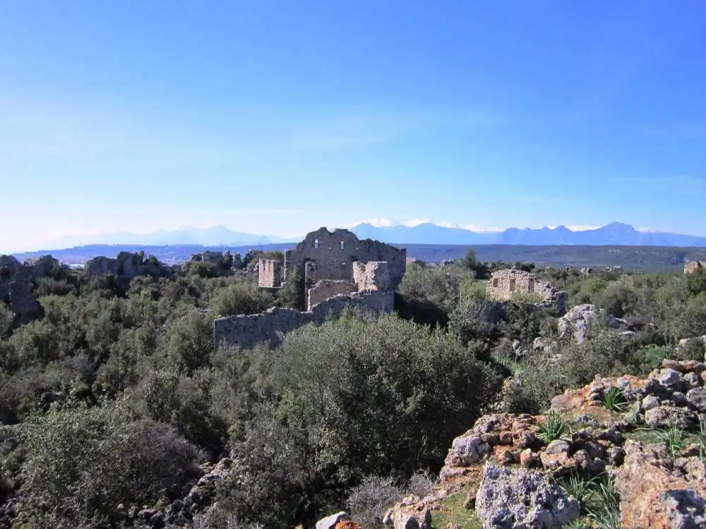
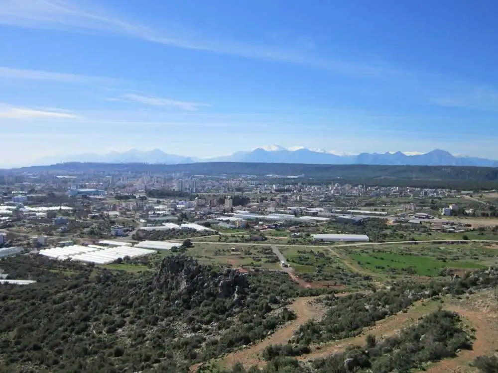
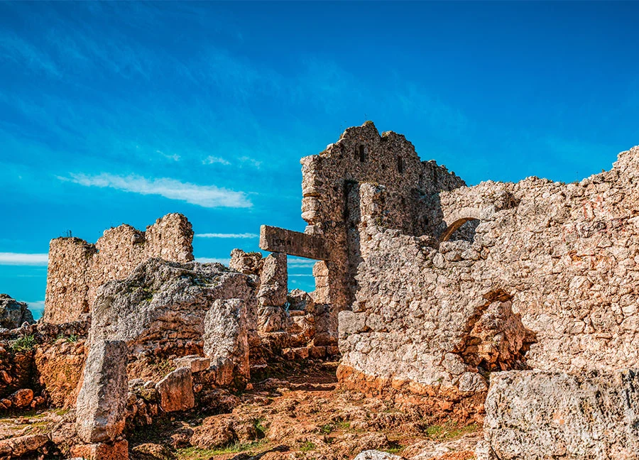
Lyrboton Kome, located northeast of Antalya city center on the top of the mountain backed by the Varsak neighborhood of Kepez district, is an ancient settlement that existed from the Hellenistic Age until the Middle Ages. According to an inscription found in Perge, it is also known as "Elaibaris" (olive farm) and was essentially a large ancient olive oil production village. It is thought to have been inhabited during the Hellenistic period, although it has remains largely from the Roman and Byzantine periods. Although not much is known about its history and administration, it can be safely said that this settlement was a kome (village) under Perge, administered by a komarkhes from the II century AD, and was inhabited throughout the Byzantine period.
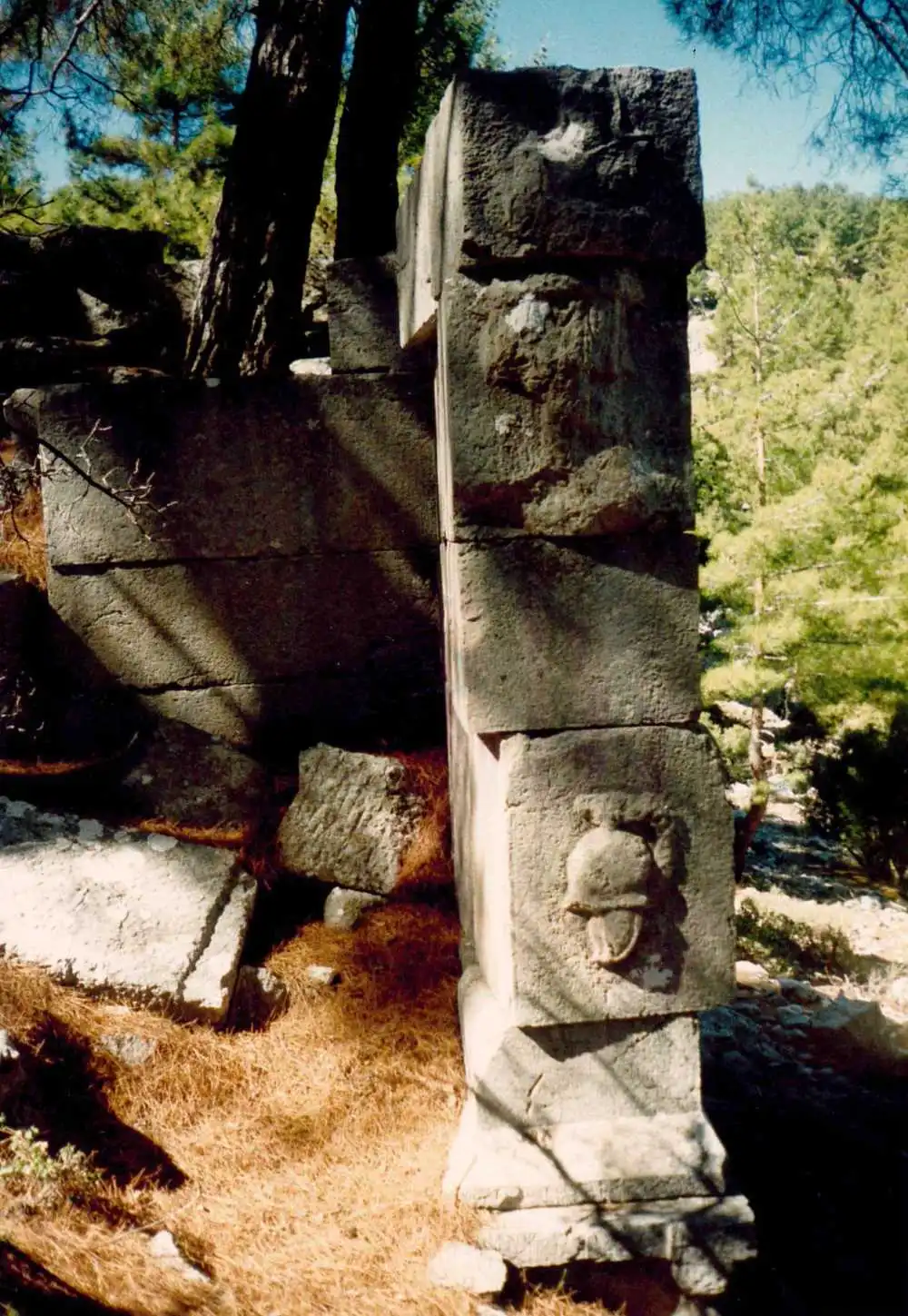
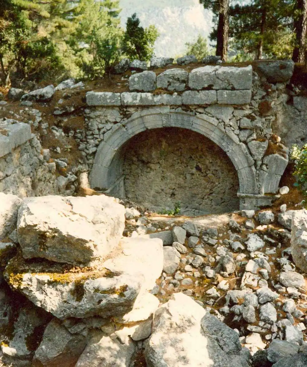
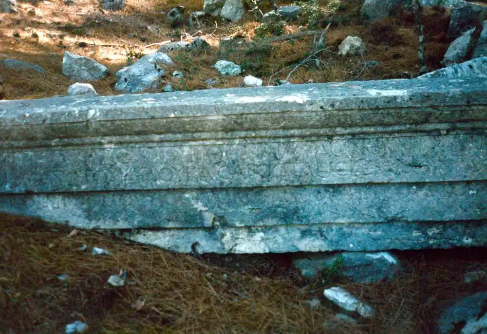
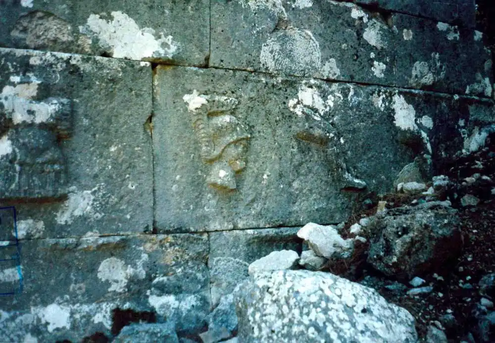
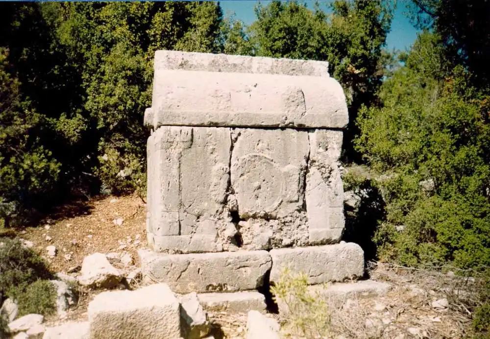
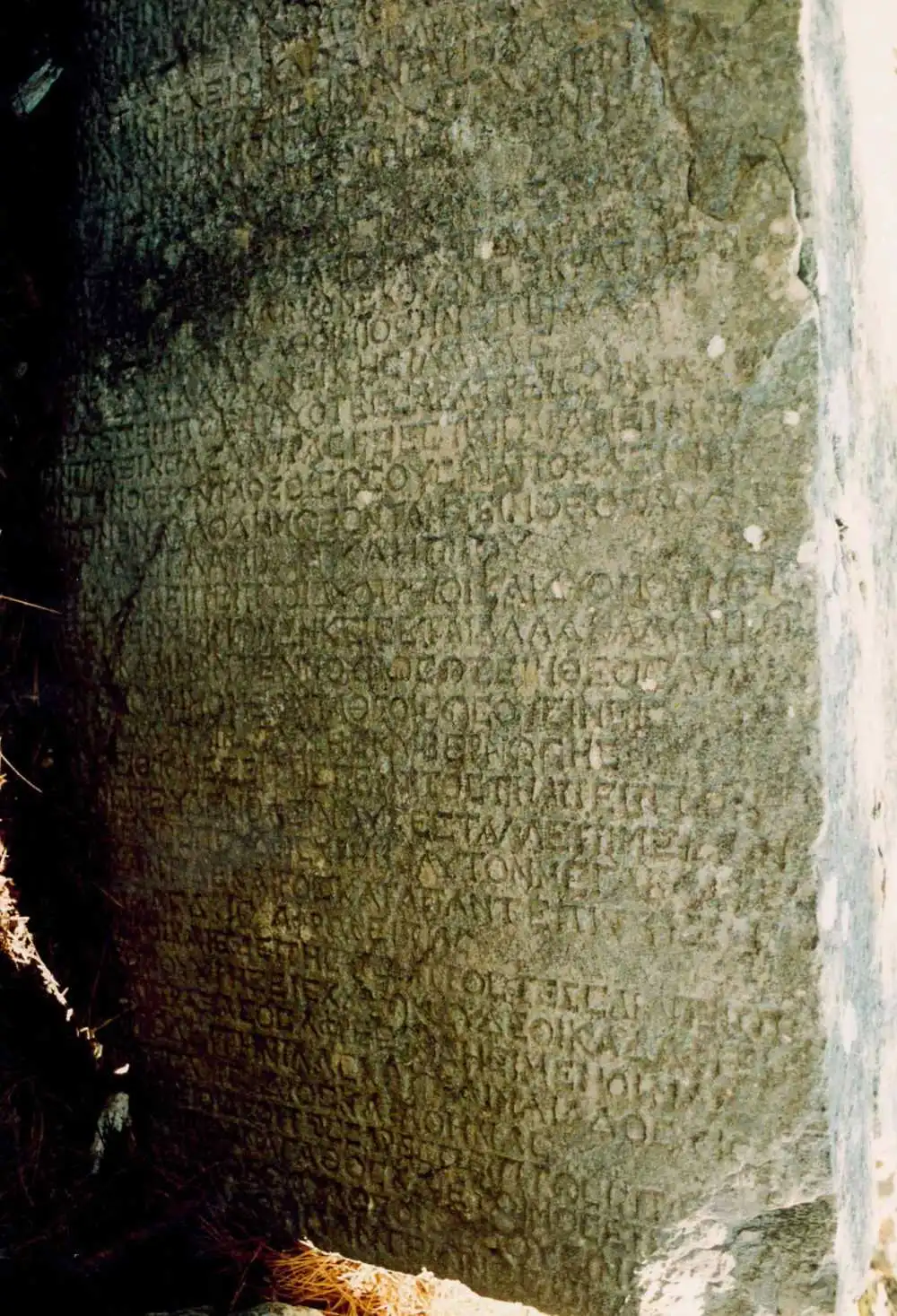
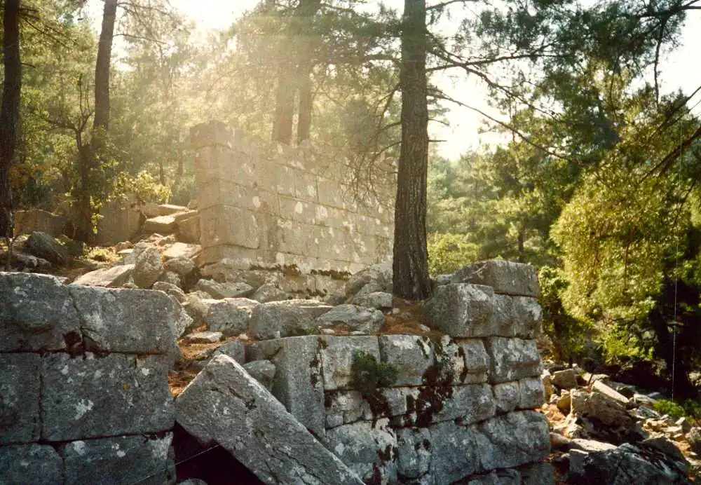
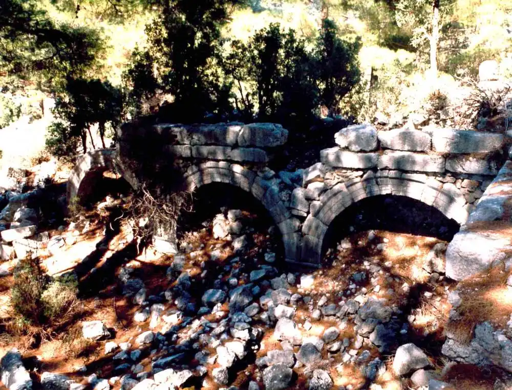
Kitanaura is an important ancient settlement located on the hills and slopes north of Saraycık Mevkii within the borders of Gölcük Quarter of Kumluca District. The ruins of the ancient city were first localized as Apollonia by Spratt and Forbes who visited the site in 1842 and then as Mnara by A. J. Schönborn. However, according to the road route indicated on the Stadiasmus Patarensis (Patara Road Monument) found in Patara, it has become certain that the ruins in Saraycık belong to Kitanaura. According to Stadiasmus Patarensis, Kitanaura is 17-18 km from Idebessos and this settlement is within the sovereignty of Termessos.
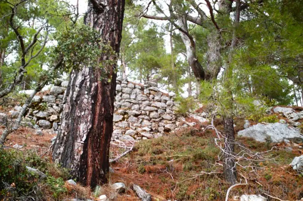
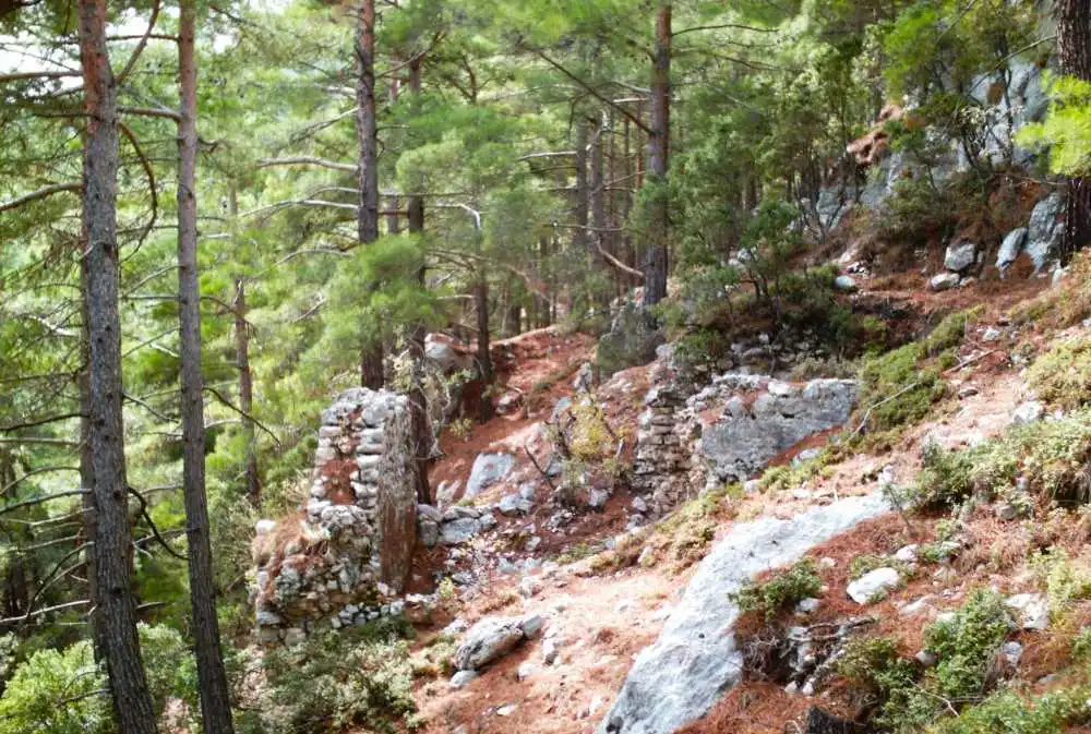
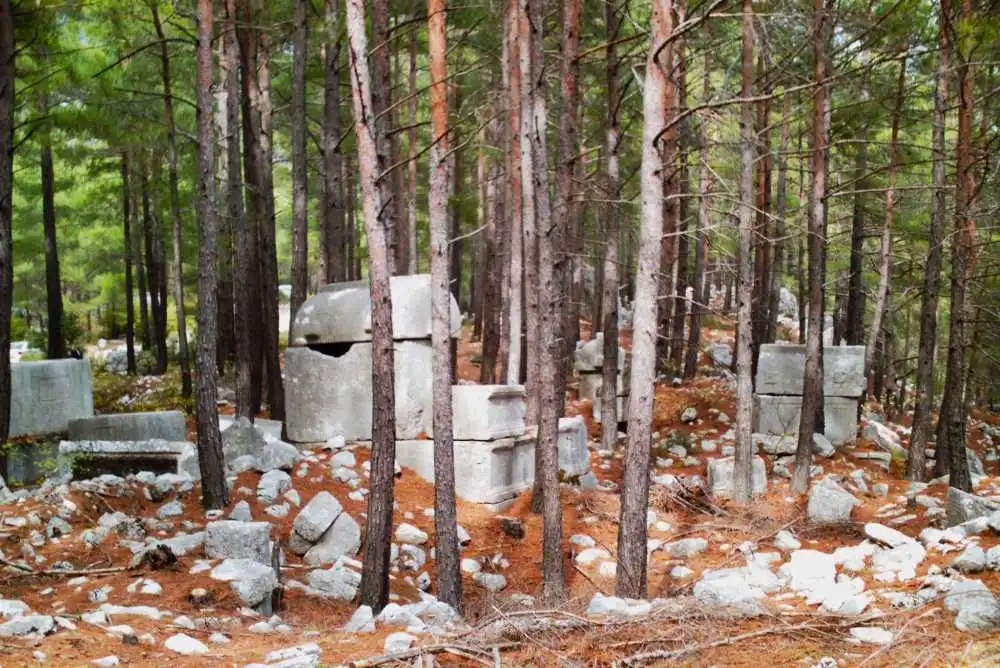
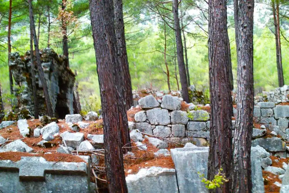
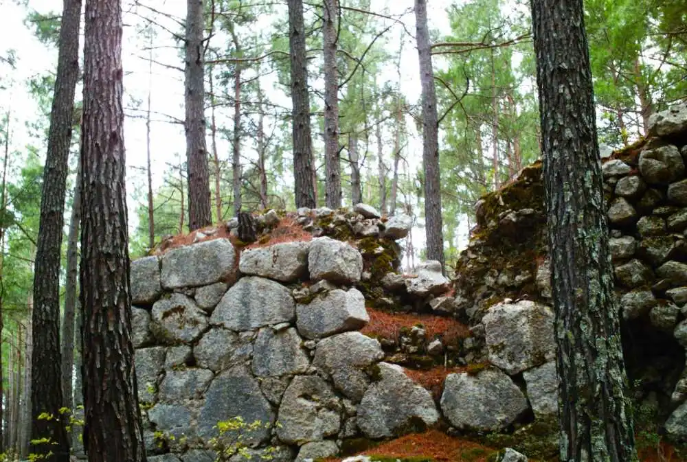
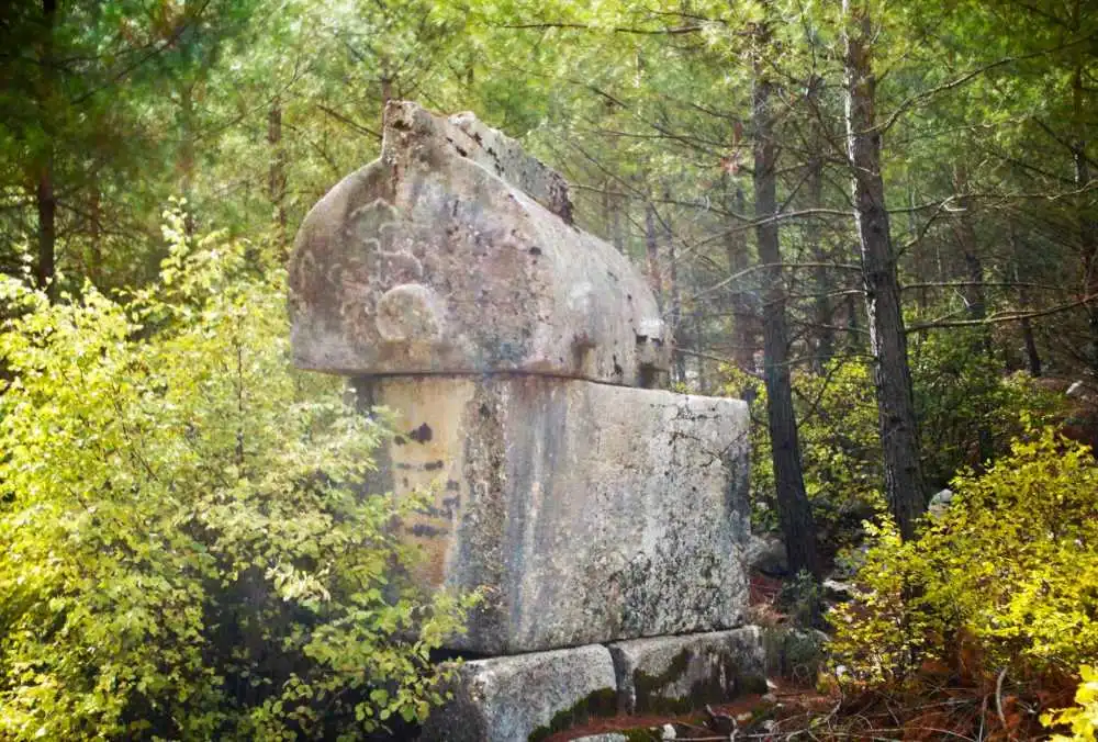
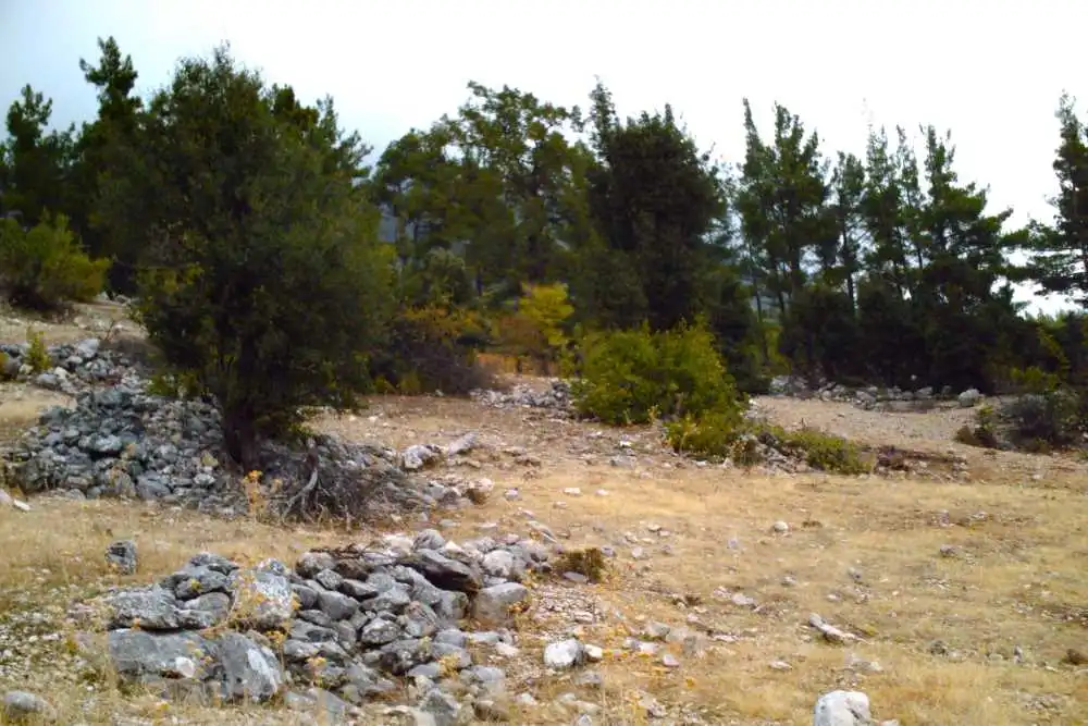
Idebessos is a Lycian city located near Kozağacı Mevkii, Karacaören Mahallesi, north of Kumluca district center. It lies 7 km north of Akalissos and northwest of Kormos. The "ss" in its name suggests that there was another settlement much earlier than the ruins suggest. However, the earliest historical information is from the Lycian League period. Although there is not much information about the settlement in the ancient sources, it is known that they formed a sympoliteia (political union) with Akalissos and Kormos; Akalissos was the leader. The city, which took the name Edebessos after the Roman Period, is referred to as a bishopric called Lebissos/Lemissos within the Metropolis of Myra during the Christian period.
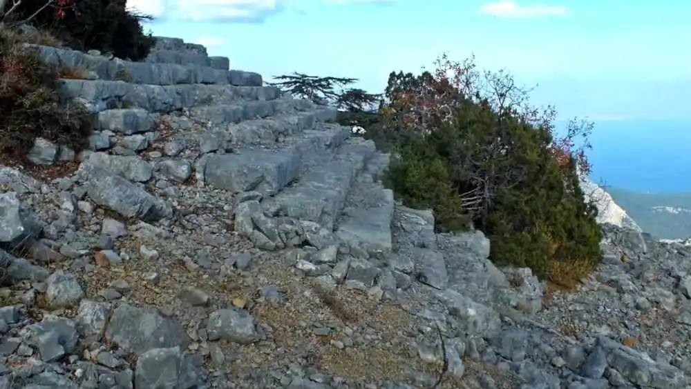
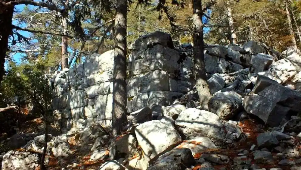
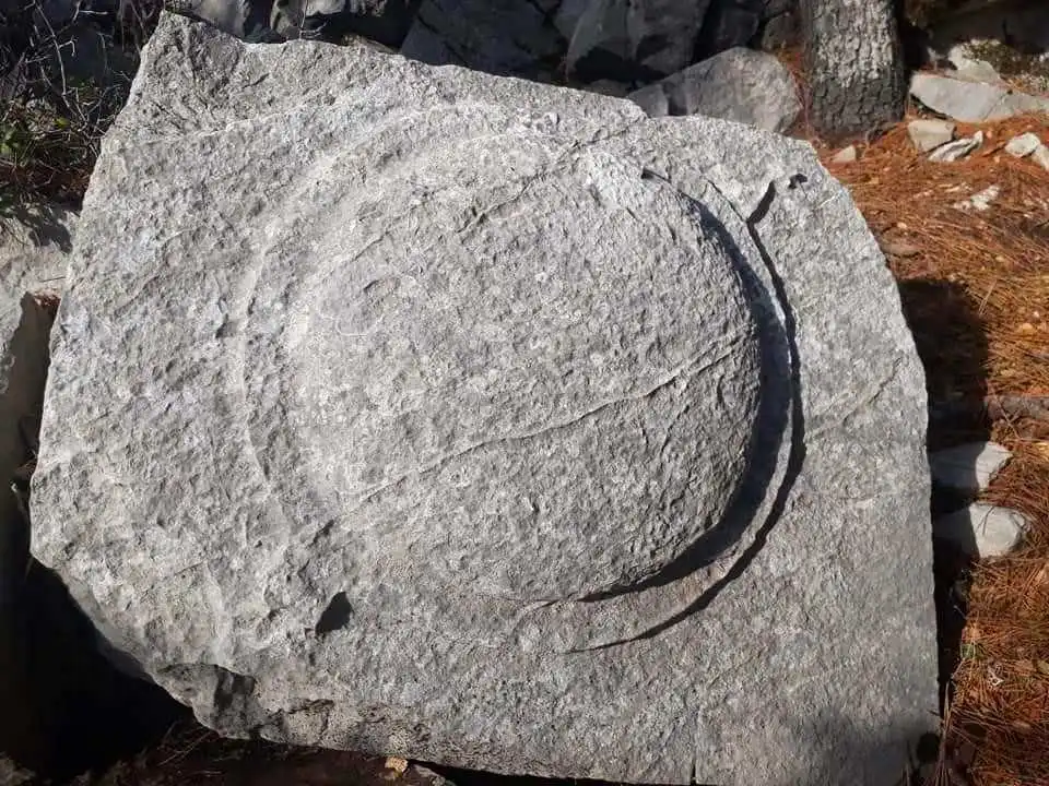
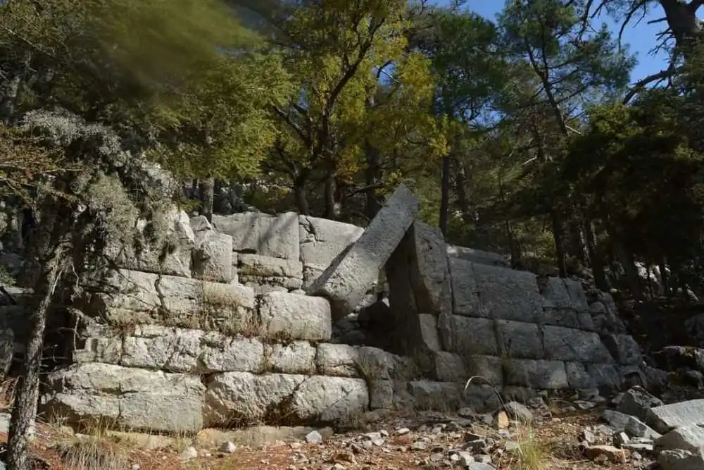
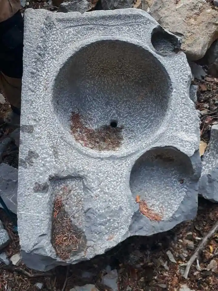
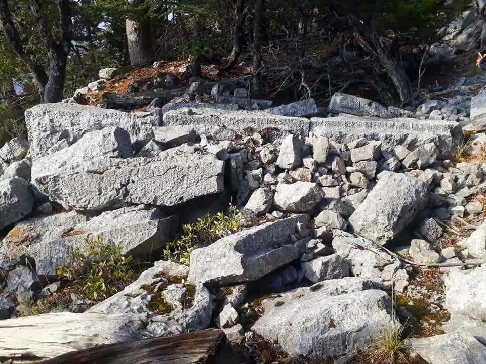
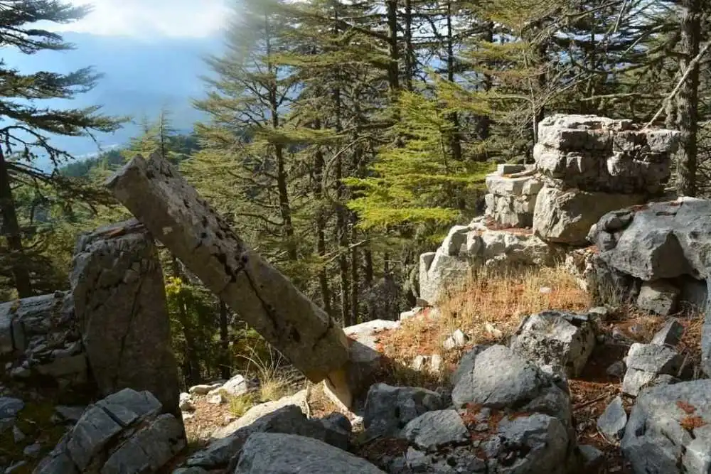
Mnara (Marmara), one of the most difficult ancient cities to reach in Anatolia, is located on a very high rocky hill on the summit of Mount Kavak (lı), which is located within the borders of the Kemer district of Antalya; at an altitude of approximately 1400 meters. The ancient city has a position that can control a significant part of Eastern Lycia and allows a naked eye view of the entire Gulf of Antalya up to Side.
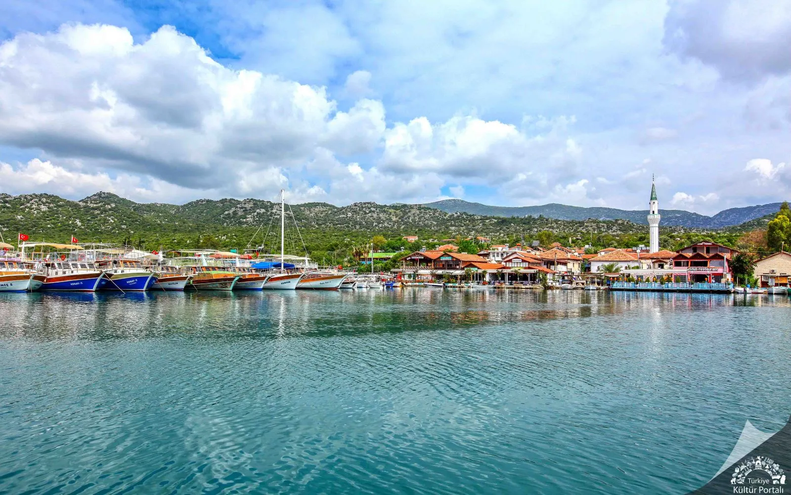
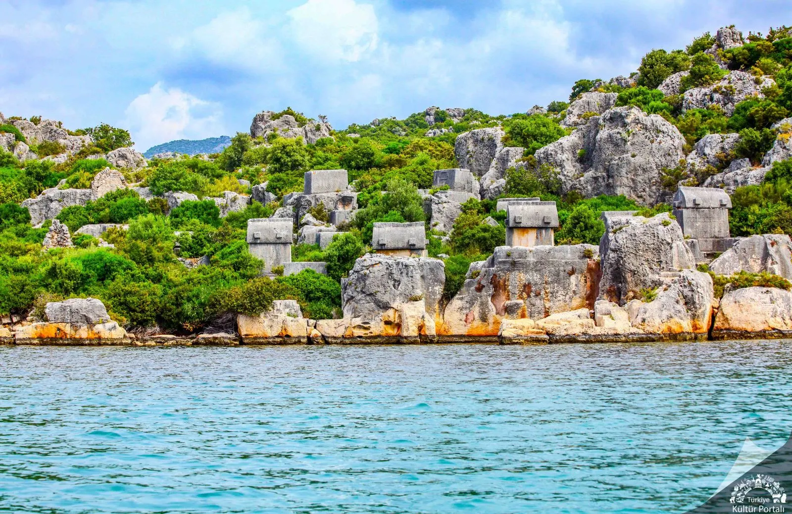
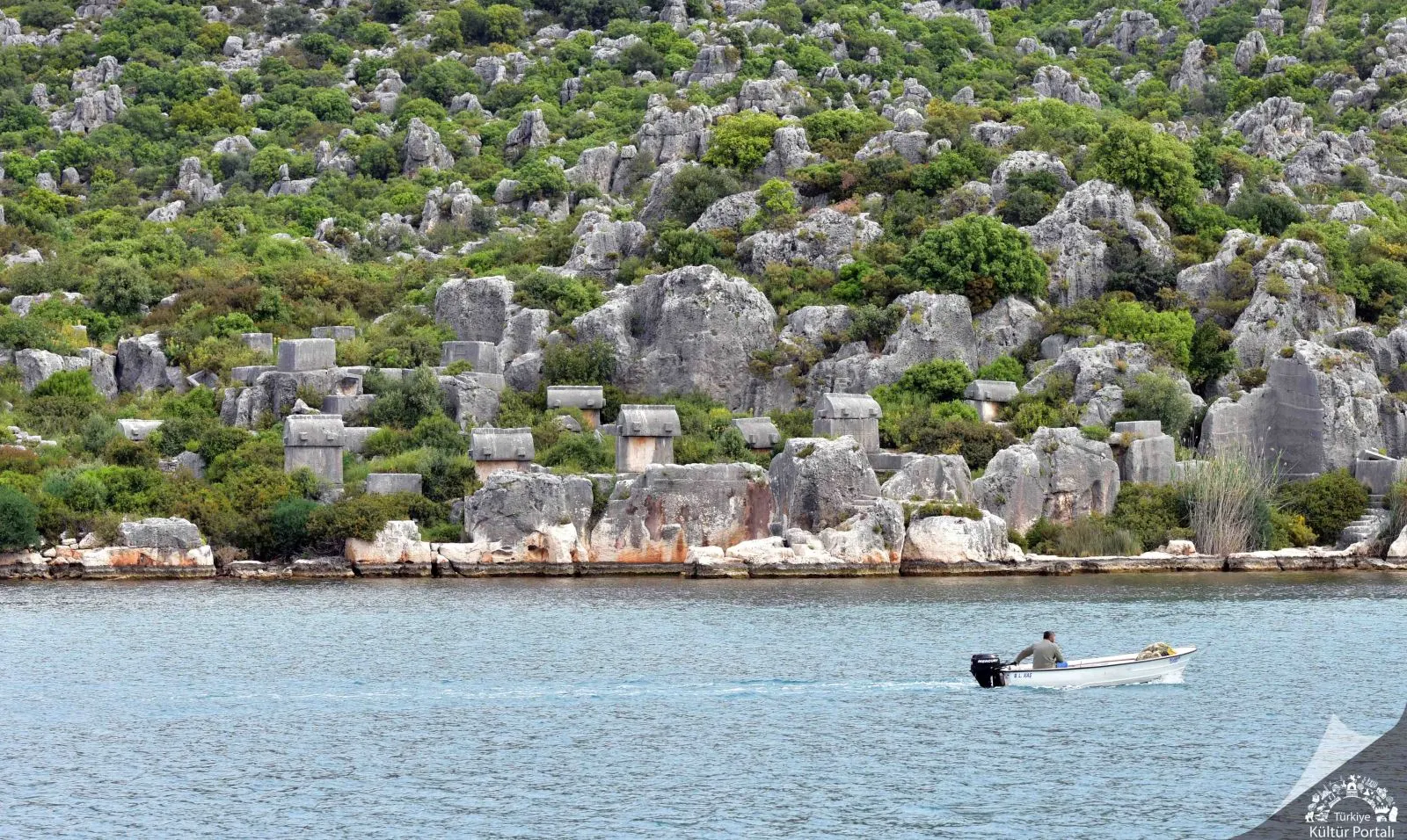
The ancient city of Theimiussa, now known as Üçağız Village, can be reached by the road leading south from the 20th kilometer of the Kaş-Demre highway. The ruins are located on the eastern side of the village where the houses begin to thin out. According to an inscription found there, Theimiussa was administratively a village settlement, not a city.
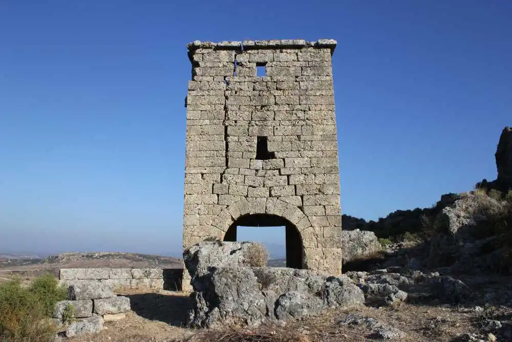
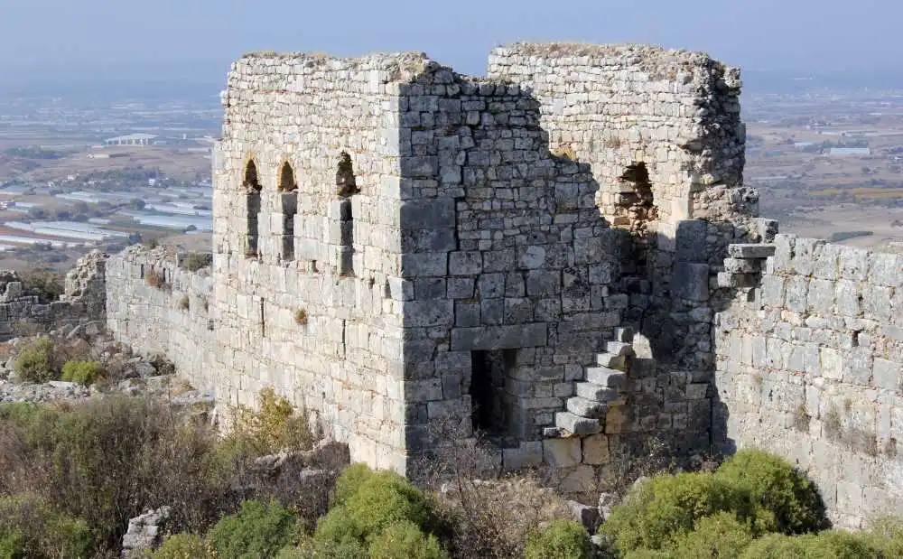
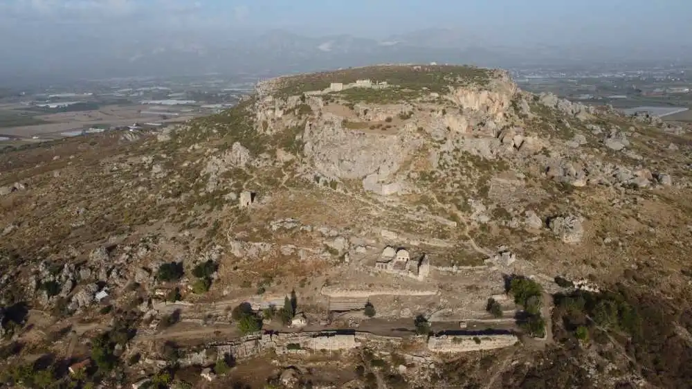
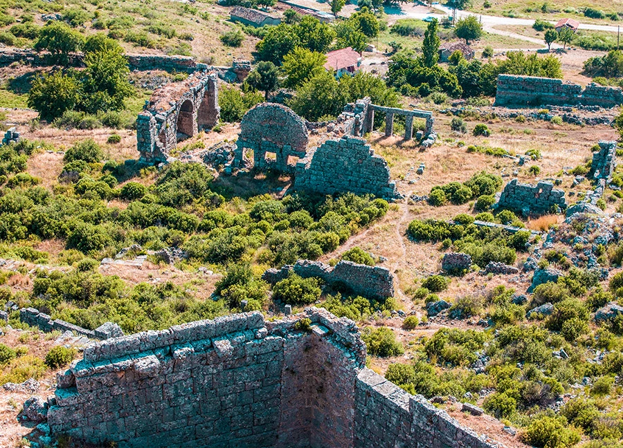
Sillyon is located in the Pamphylia Region in the Ancient Period and today in the Kocagözler Mevkii of the Yanköy Neighborhood of the Serik district of Antalya province. It is an accepted opinion that the name Sillyon derives from Šalluša mentioned in Hittite texts and is not a Greek name.
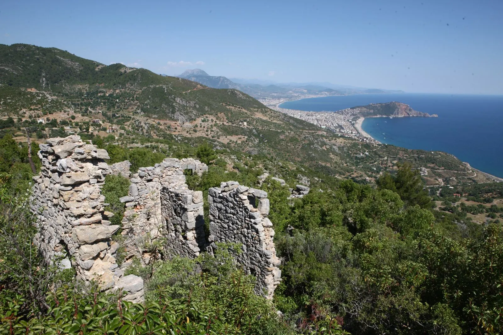
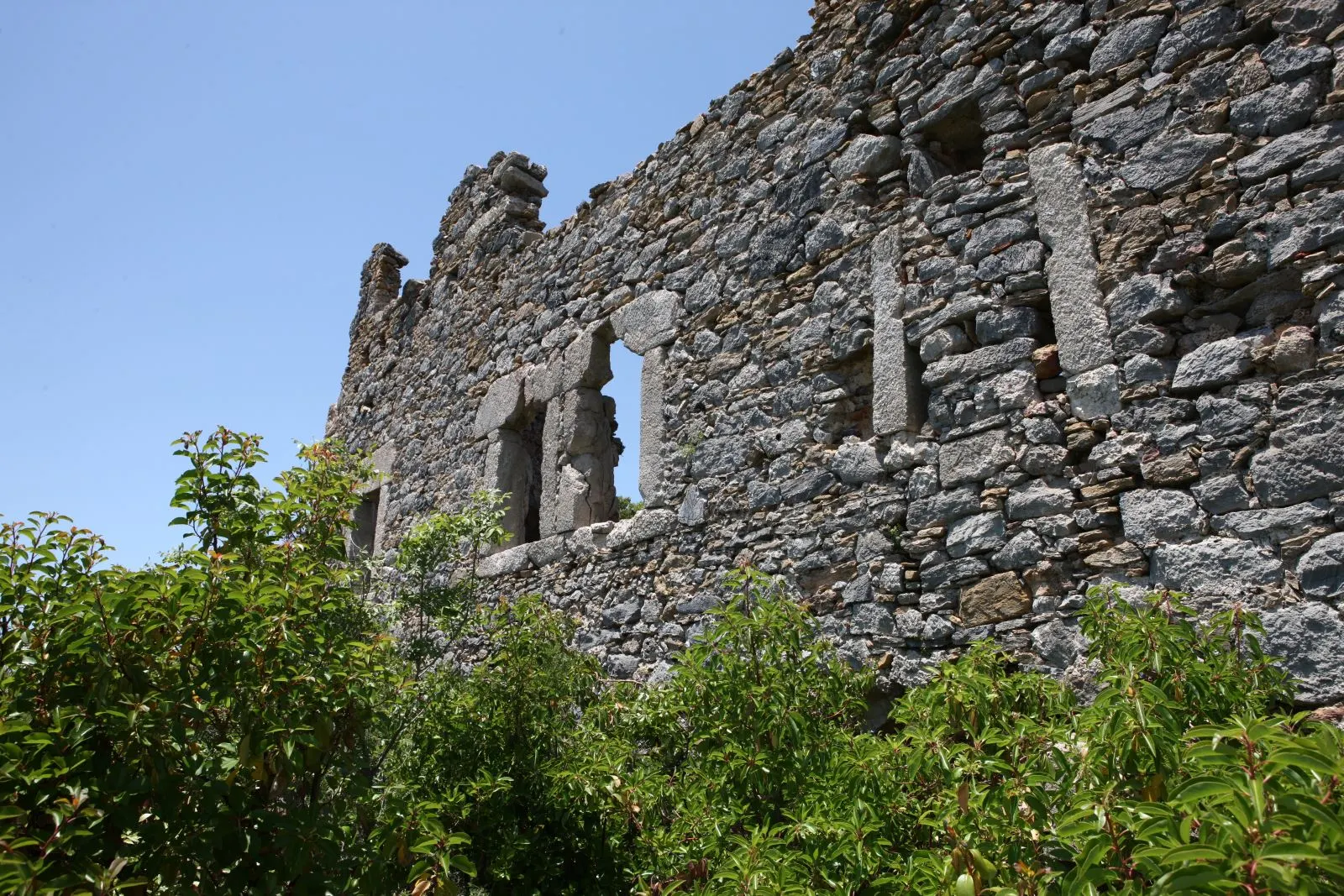
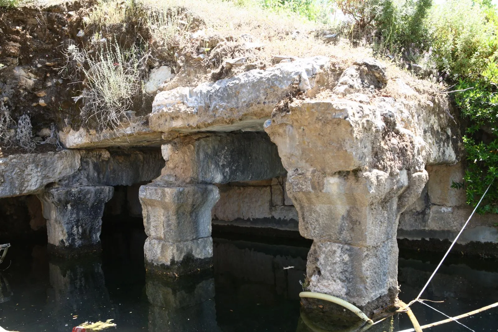
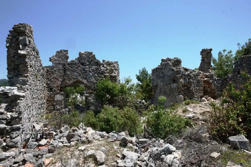
The ancient city in Elikesik village, 12 kilometers northwest of Alanya, is within the borders of Pamphylia region. It is popularly known as Sinekkalesi. The ancient geographer Strabon mentions that the wood used for shipbuilding was obtained from the city, especially cedar trees were abundant, and even Antonius gave this region as a gift to Cleopatra. Both inscriptions and ruins show that the city was inhabited from the Hellenistic period until the end of the Byzantine period.
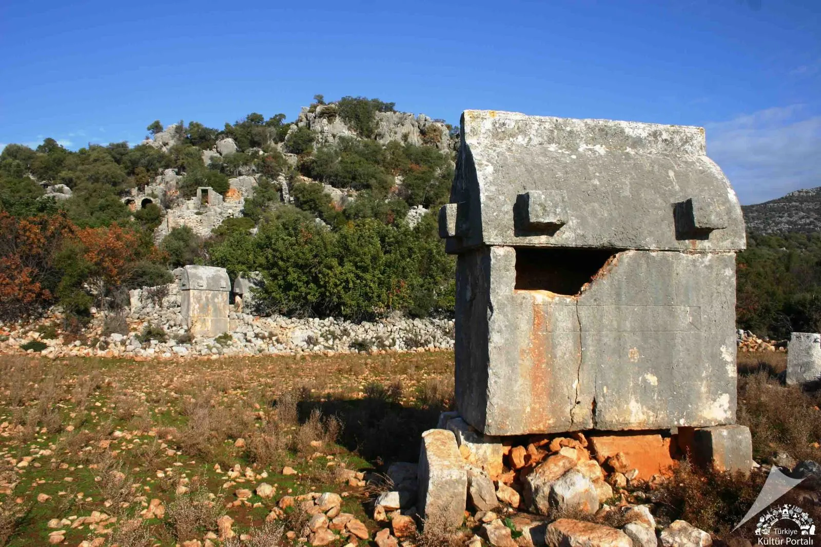
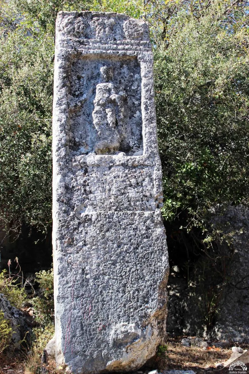
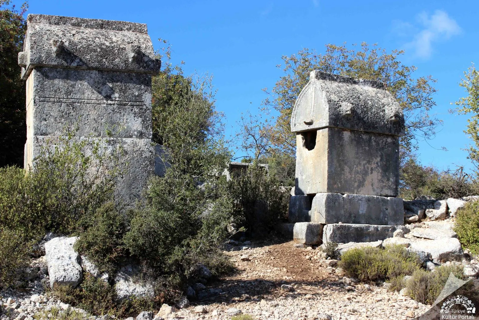
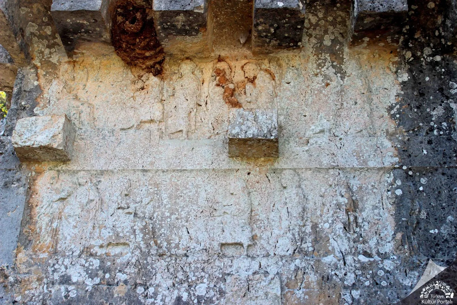
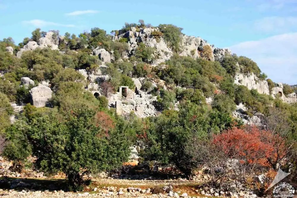
Istlada Ancient City is the most impressive among the small-sized cities of Lycia with its interesting tombs that have survived to the present day.After passing Yavu Village on the Demre-Kaş highway, after 4 km from the Davazlar Village sign, Kapaklı Village is reached. The famous Hoyran Tomb, which is located just opposite the village primary school, is the area where the ruins of the ancient city of Islada are located. The ruins of Istlada are scattered in Kapaklı, Hoyran and Hayıtlı. The name Istlada can be read in many inscriptions of the city and shared the historical fate of the region with other neighbouring cities in the Lycian Union.
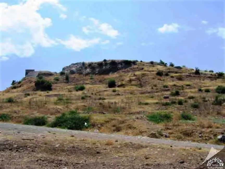
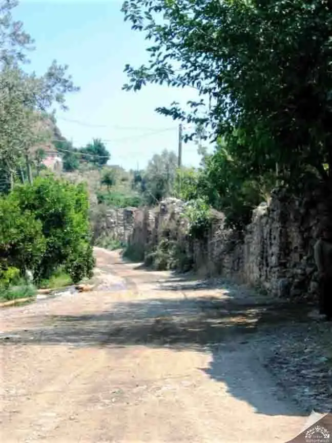
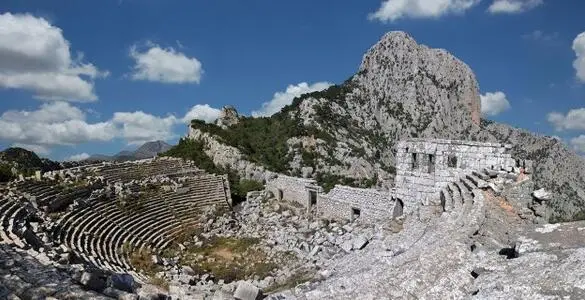
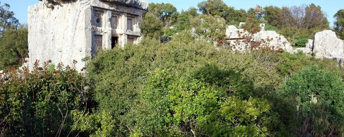
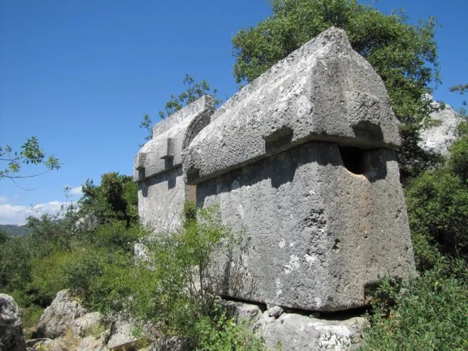
Korydalla, now called Hacıveliler, is located one kilometer west of Kumluca district center and 29 kilometers northeast of Myra. The place name Korydalla, whose name was confirmed by a statue pedestal honored by Emperor Marcus Aurelius in Hacıveliler, is derived from the Greek word "Korydos" (lark). It was mentioned as the city of Rhodos by Hekataios of Miletus in 500 BC. Pliny places Korydalla between the cities of Rhodiapolis and Gagai, and Ptolemy shows it opposite Mount Masekitos. It is mentioned as "Coridallo" in the Tabulae Peutingeriane. It is counted among the Lycian cities of the Late Antique period by Hierocles. Korydalla was an important traffic point where the routes of Patara Stadiasmos intersected. The history of Korydalla, which has an inscription in Lycian, should be largely analyzed with Rhodiapolis. It is known that the city joined the Lycian League and was represented together with Rhodiapolis.
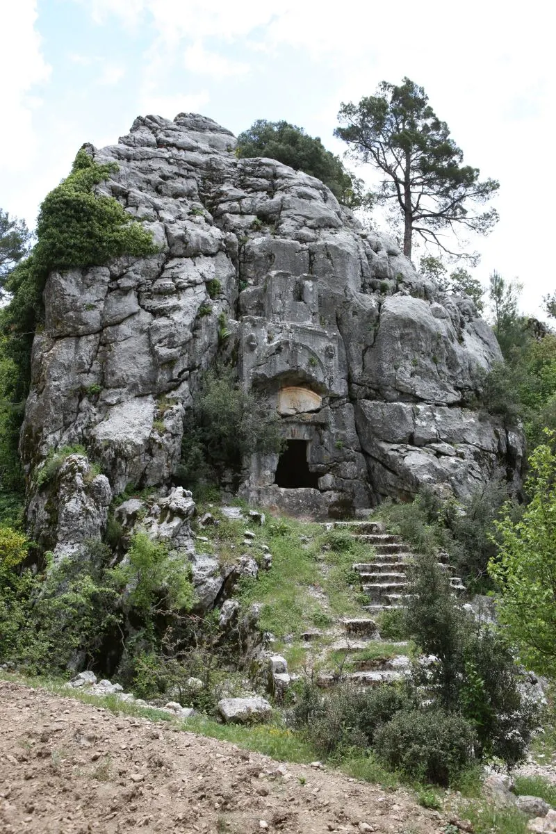
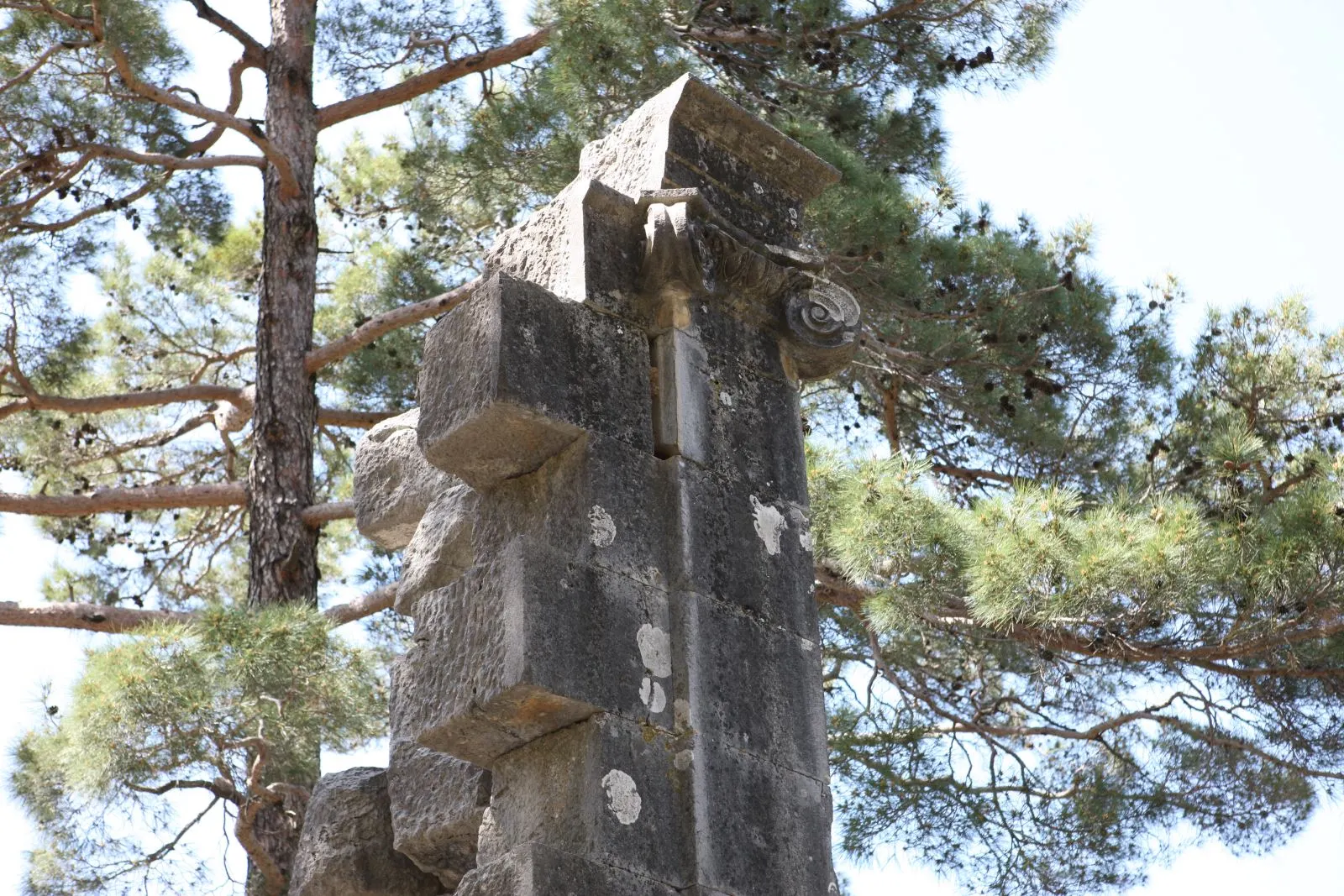
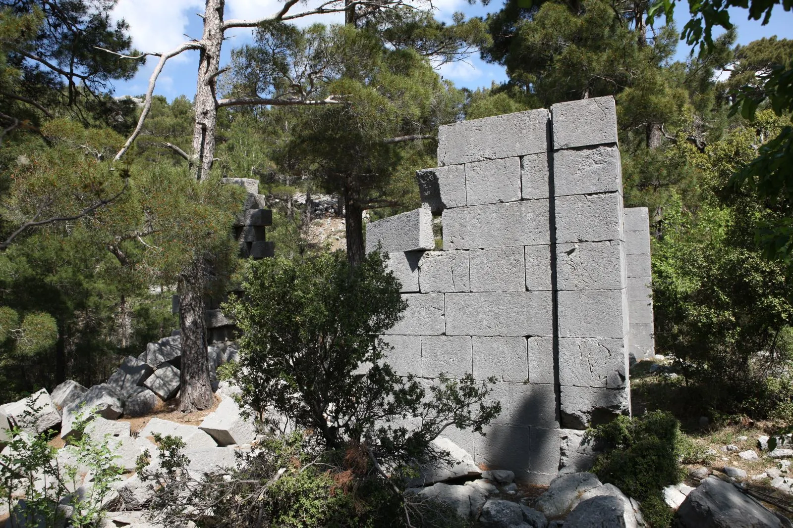
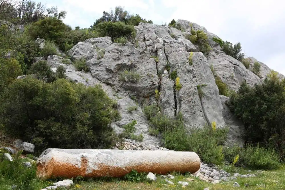
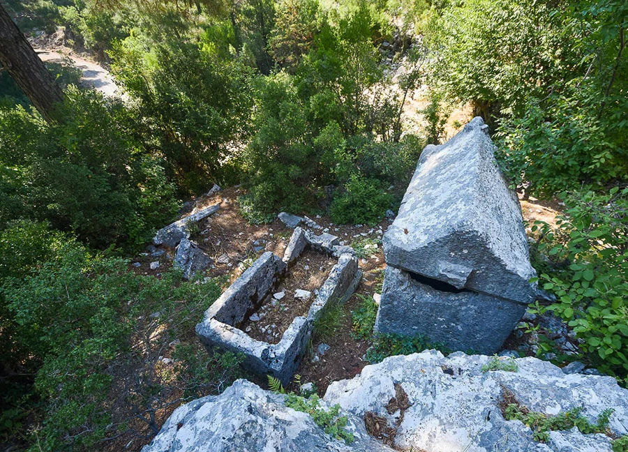
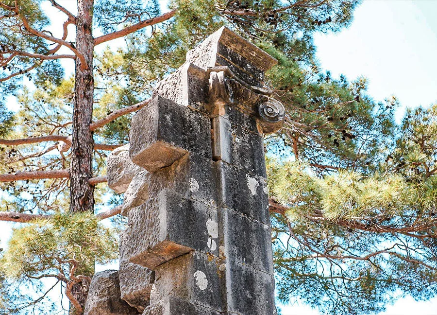
Colybrassus is located about 30 kilometers northeast of Alanya, within the boundaries of Bayırkozağacı Village of Alanya Güzelbağ District. The city center is located in a valley. A. Albek defines the city as a settlement east of Pisidia and west of Cilicia with traces of the Hellenistic period. There are written sources that indicate that life in the city continued until the Middle Ages.
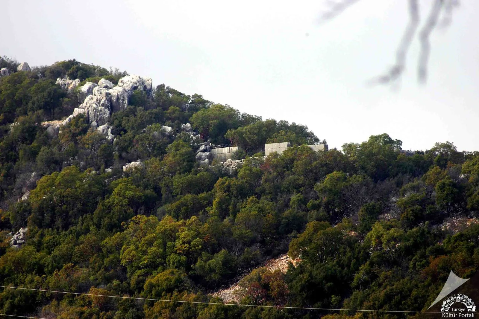
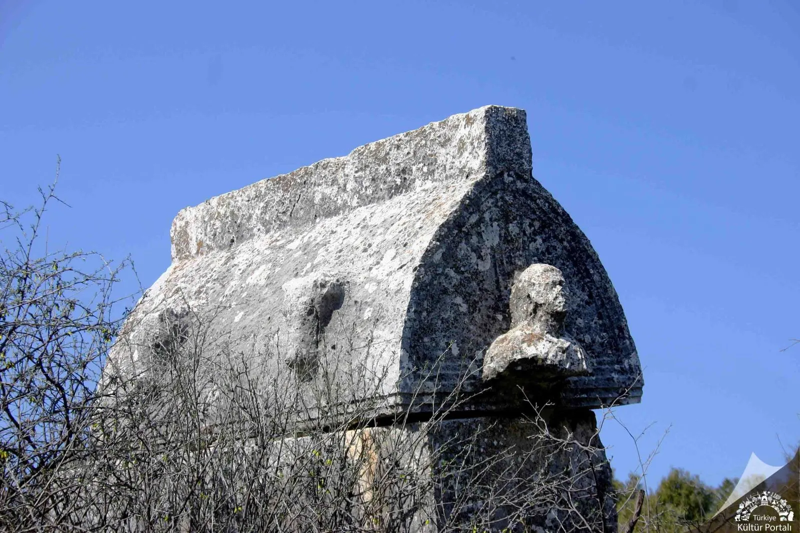
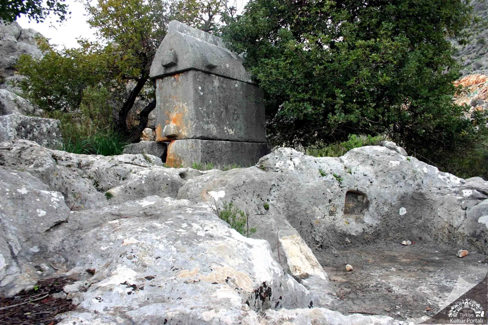
Trysa Ancient City is located in the east of the plateau near Gölbaşı neighborhood of Davazlar village on the Kas-Kale road. Its name is not found in any of the ancient sources. Trysa seems to have been one of the member cities of the Lycian Union founded in the 2nd century BC. It is known by the abbreviation "TP", where the first two letters of the city are written, and by coins belonging to the Lycian Union period. Trysa, whose name and especially Heroonu is mentioned in the archaeological literature since the end of the XIX century, has the appearance of a well-protected fortress inhabited by a small lord or king like Phellos, Istlada and Sura.
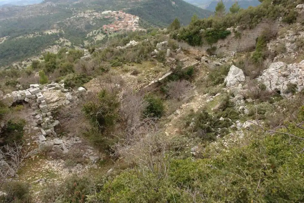
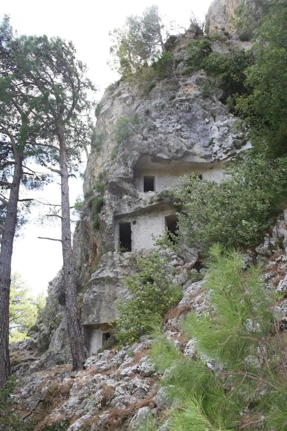
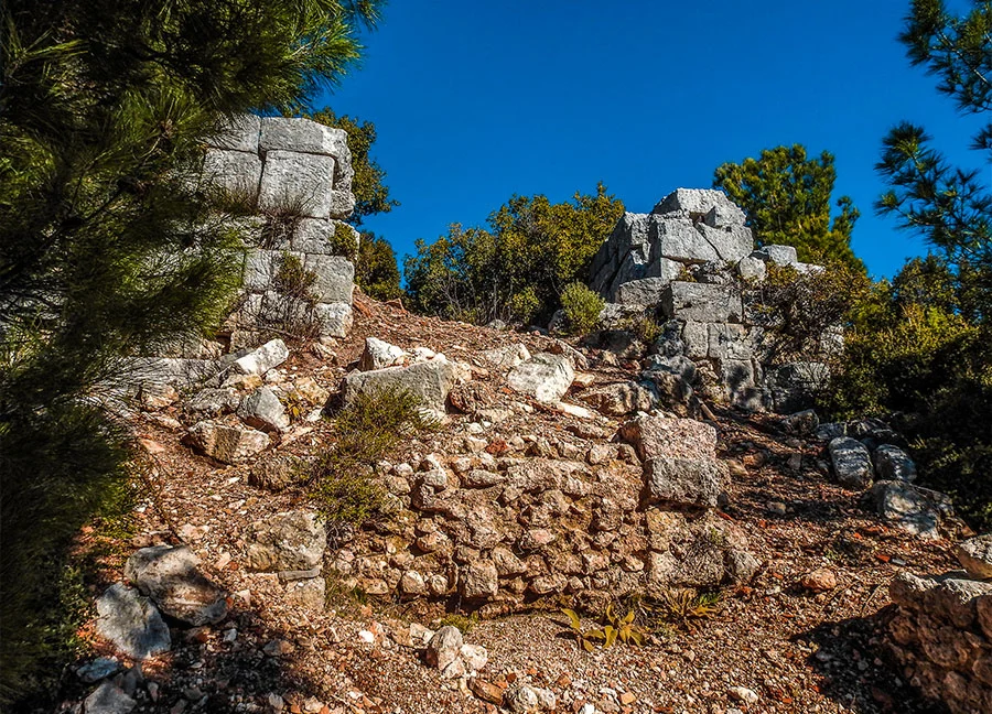
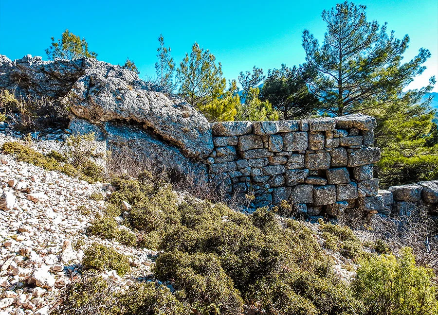
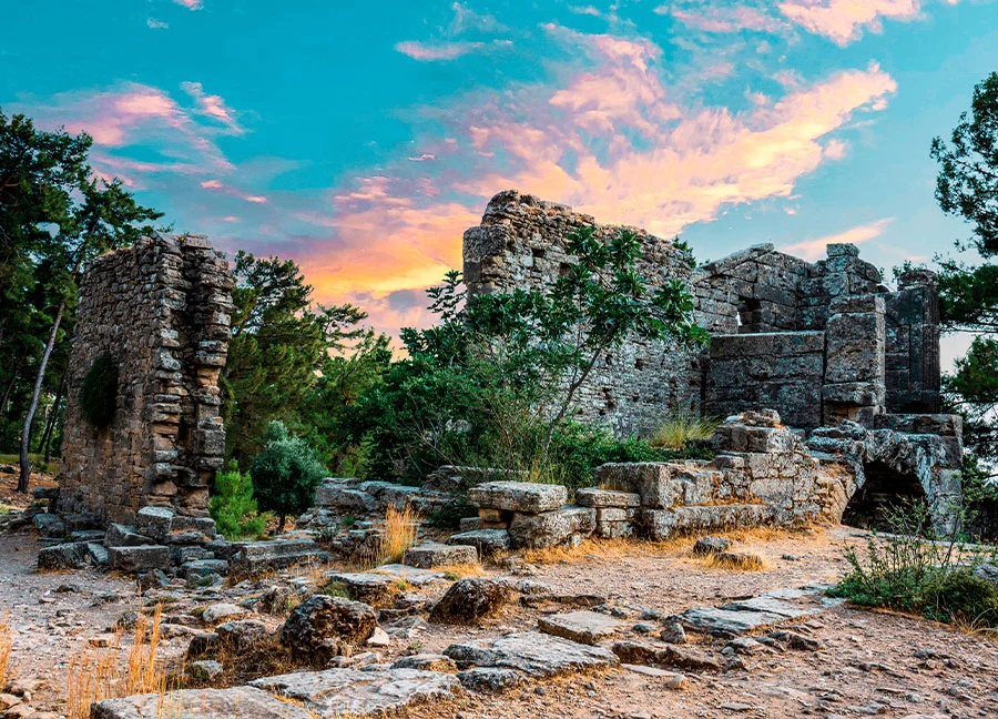
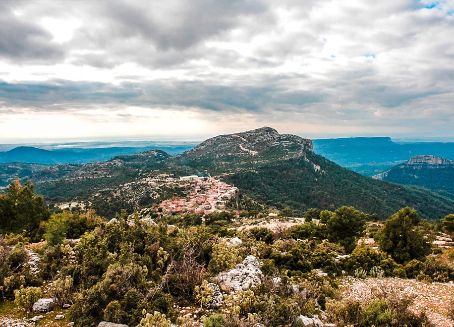
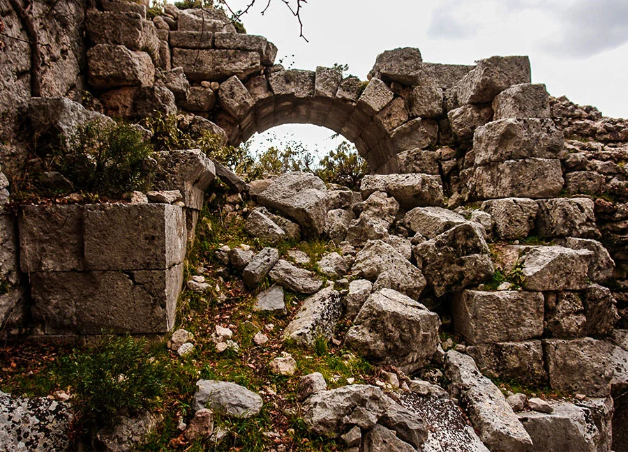
Etenna Ancient City is located in Antalya province, Manavgat district, Sırtköy neighborhood. In the ancient city of Etenna, which is 31 kilometers away from Manavgat and 900 meters above the sea, the first thing that attracts attention among the ancient ruins among the pine forests is the city walls surrounding the city. Instead of Pamphylia, the ruins have the characteristics of a Pisidian city compared to other ancient coastal cities.
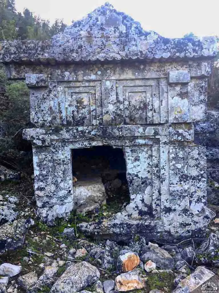
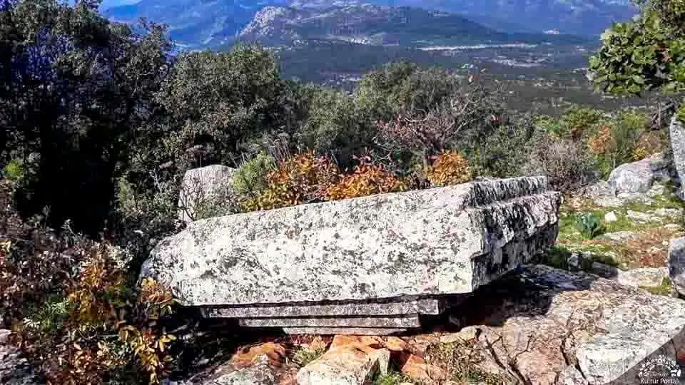
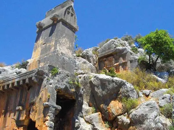
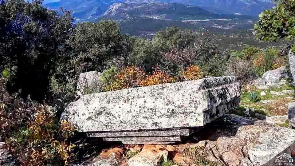
The ancient city of Isinda is a small Lycian city built on the hills and slopes near the Belenli neighborhood of Kaş district. Like some other Lycian settlements, it is more of a fortified position inhabited by a small lord or clan.
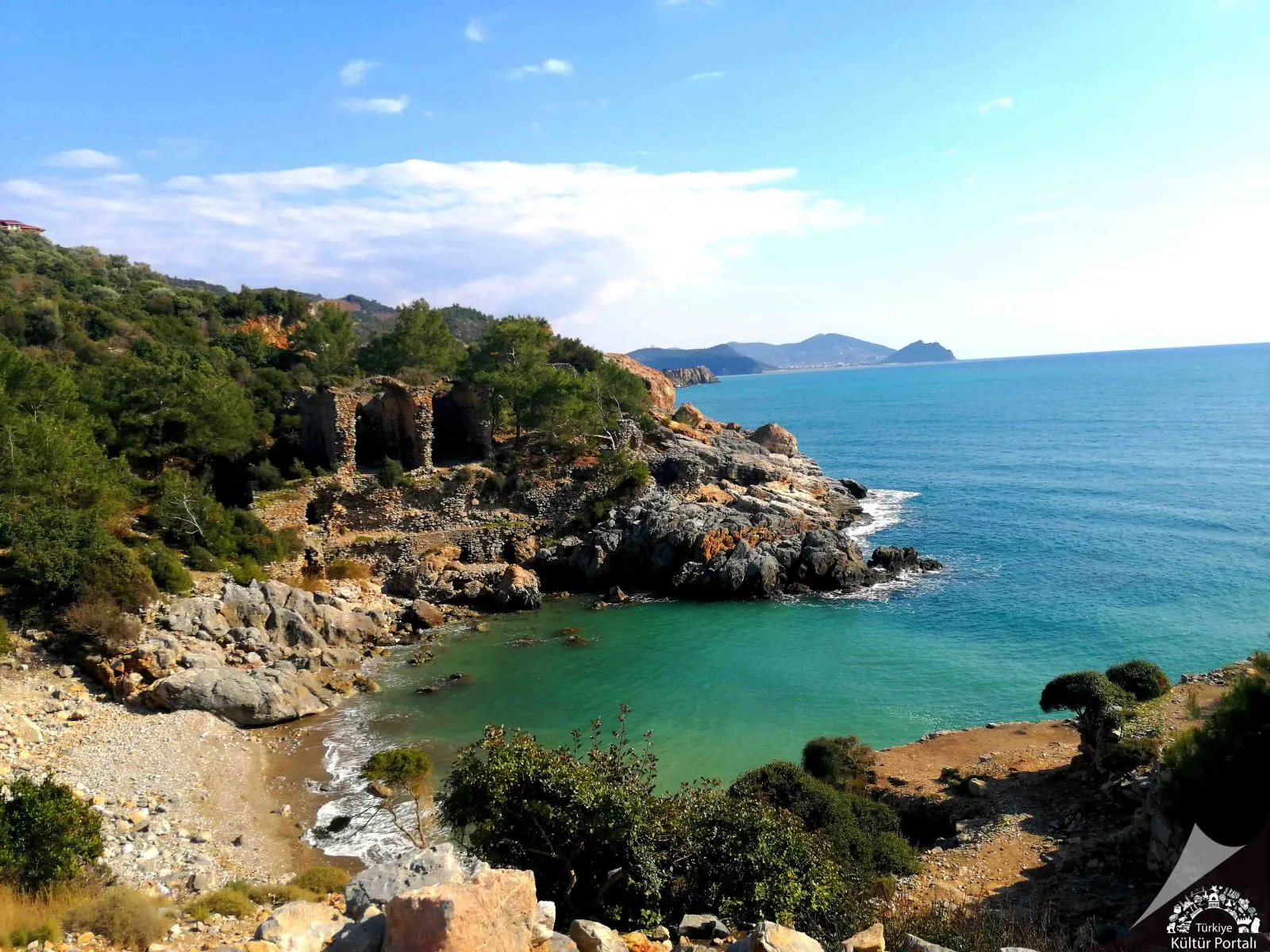
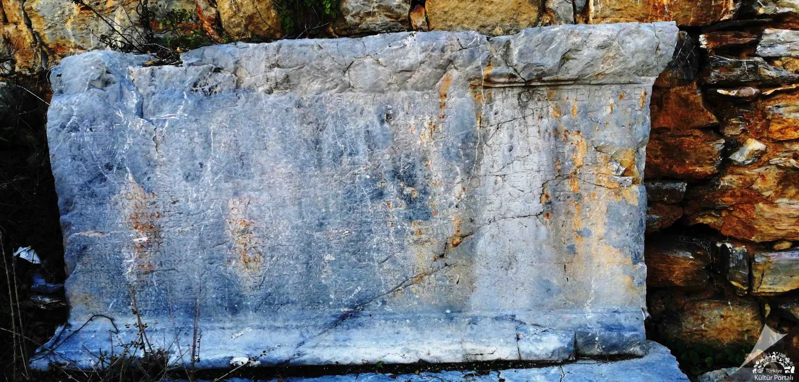
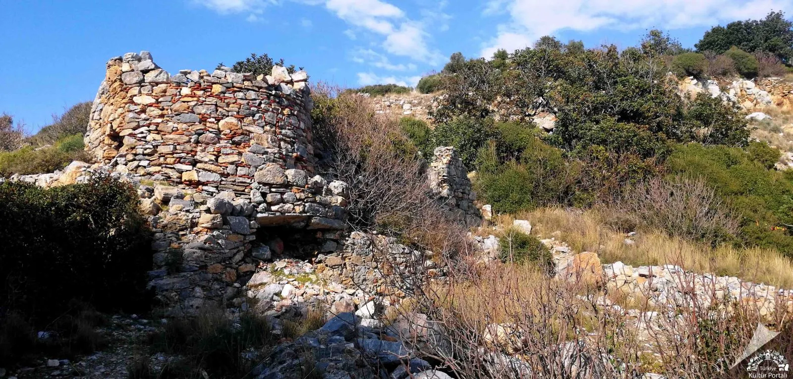
Located at the 33rd kilometer of the Alanya-Gazipaşa highway, the ancient city takes its name from Iotape, the wife of Commagene King Antiochos IV (38-72 AD). The city minted coins in its own name from Emperor Trajan to Valerian. The ruins have both Roman and Byzantine features. The acropolis of the city is a high promontory that extends to the sea.
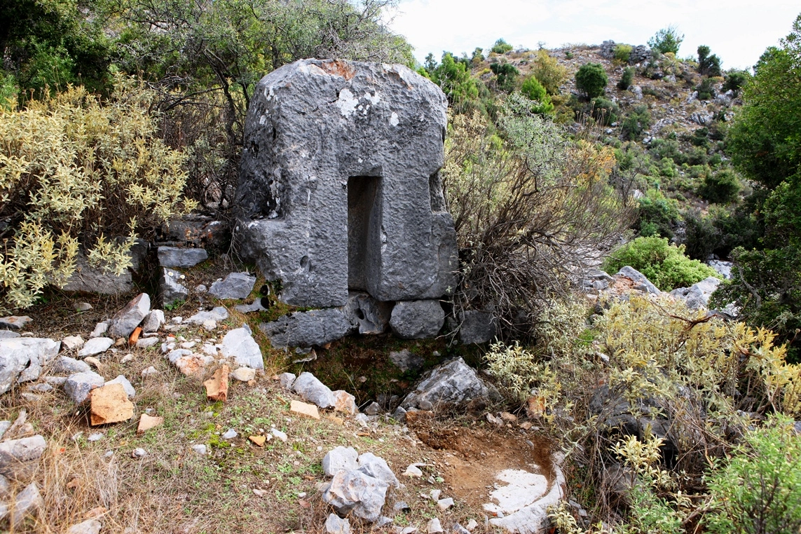
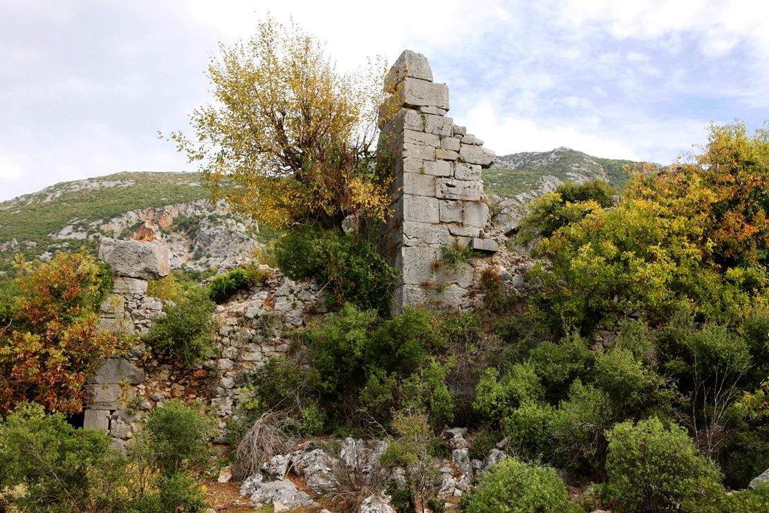
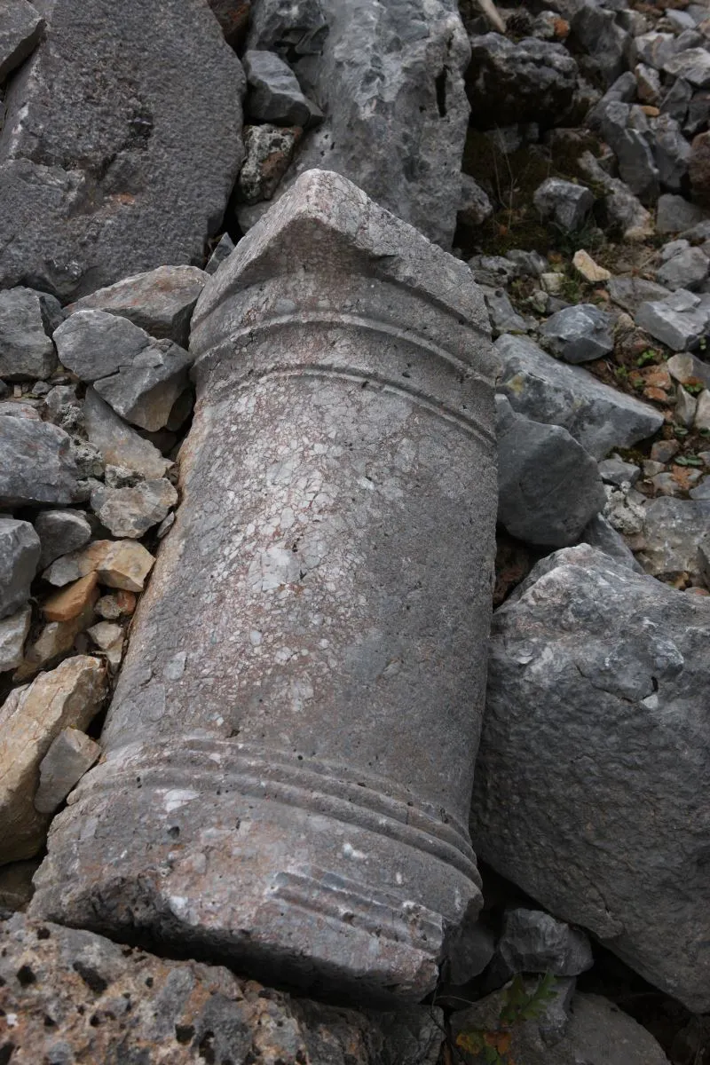
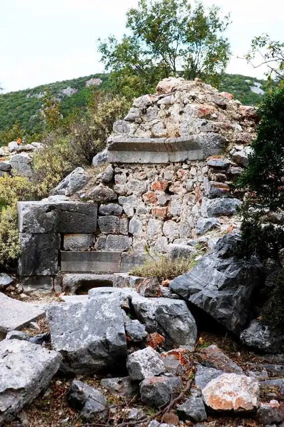
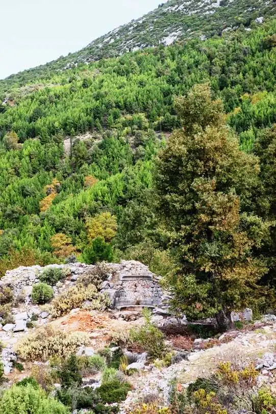
Laertes Ancient city; It was founded on the Taurus Mountains, on the southern slopes of Cebel-i Reis Mountain, which rises at the mouth of the Dim Valley, 850 meters above sea level. It is about 25 kilometers from Alanya. It is within the borders of the region known as Mountainous Cilicia in antiquity.
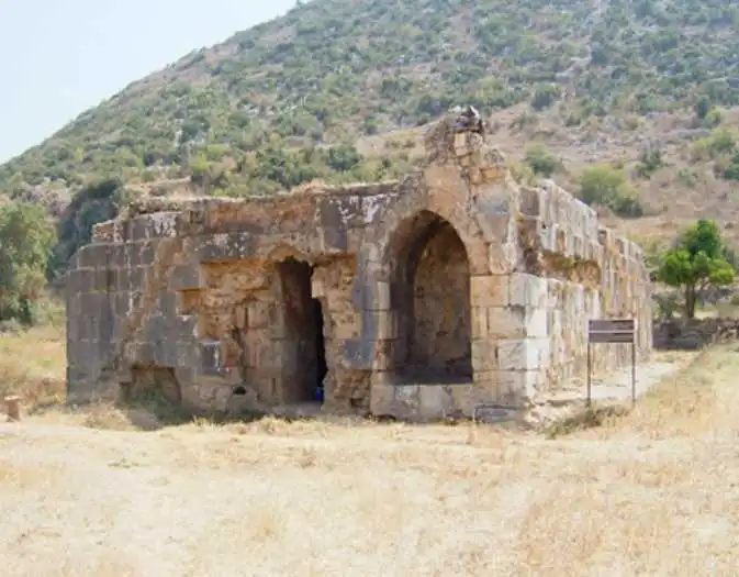
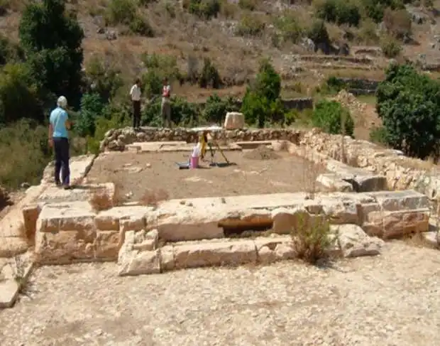
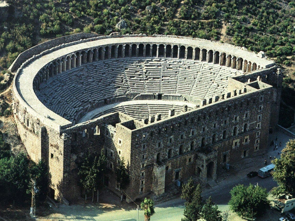
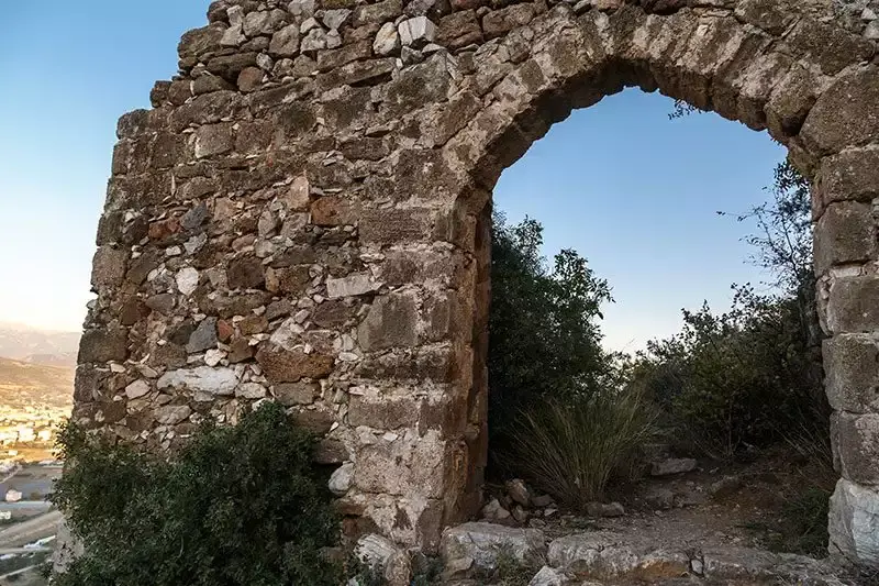
The ancient city of Selinus is located on a hill and slope that extends like an elbow to the sea southwest of the marina and Hacı Musa Stream within the boundaries of Gazipaşa District. The acropolis of the city was built on the hill. The city was inhabited during the Hellenistic, Roman and Byzantine periods. Selinus is the most important region of the mountainous Klikya region. The city took this name because Trijan, one of the Roman emperors, died in this city. In the city where the Roman settlement is dense, the Medieval Castle, Agora, Large and Small Baths, Şekerhane Pavilion and Monumental Tombs are architectural structures that can be seen today. The church and the cistern in the acropolis are important structures that have survived to this day. The other buildings of Selinus are located on the coast and on the hillside
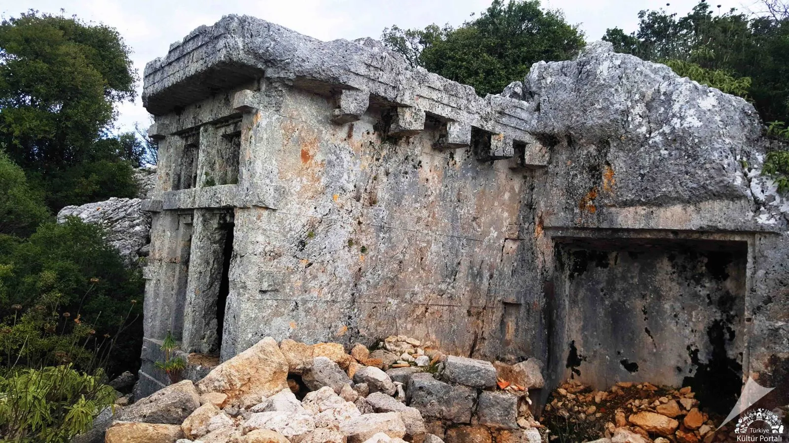
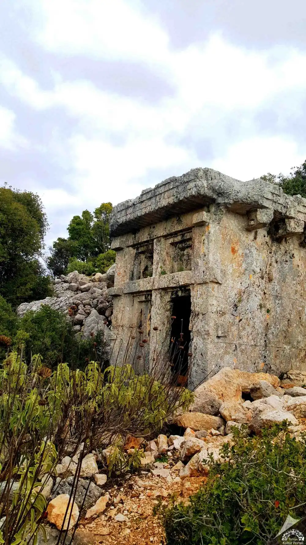
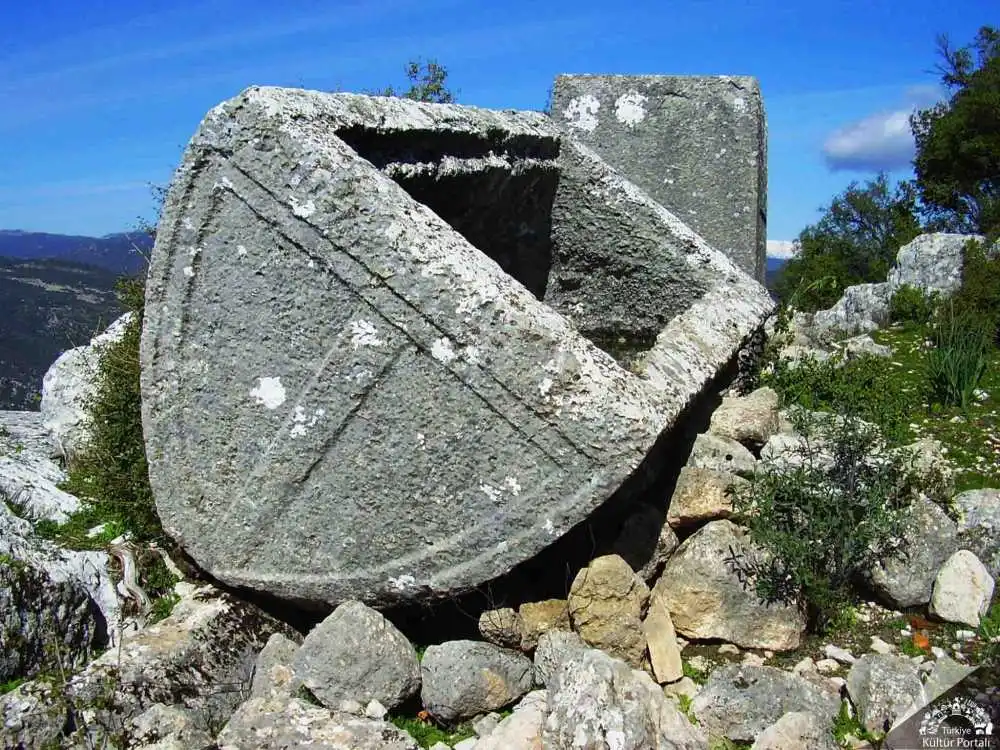
The ruins of the ancient city of Phellos (Antiphellos), located in the Fellen-Yayla region at an altitude of about 950 meters above sea level, northeast of Kaş, can be reached from the settlement of Ağullu on the Demre-Kaş highway in the direction of Çukurbağ. It can also be reached on foot by taking the path that is separated from the bends leading down to Kaş. The city of Phellos was first mentioned by the geographer Hekataios around 500 BC. Phellos and Antiphellos are one of the few Lycian towns with Greek names. The Lycian equivalent of the word Phellos, which means "stony land", is "Vehinda".
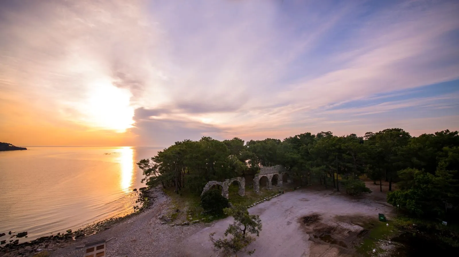
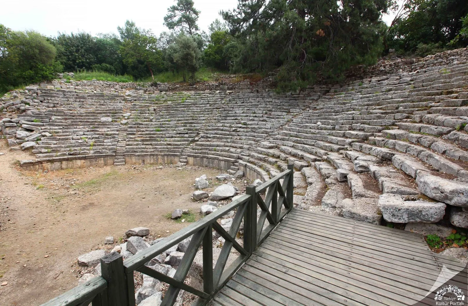
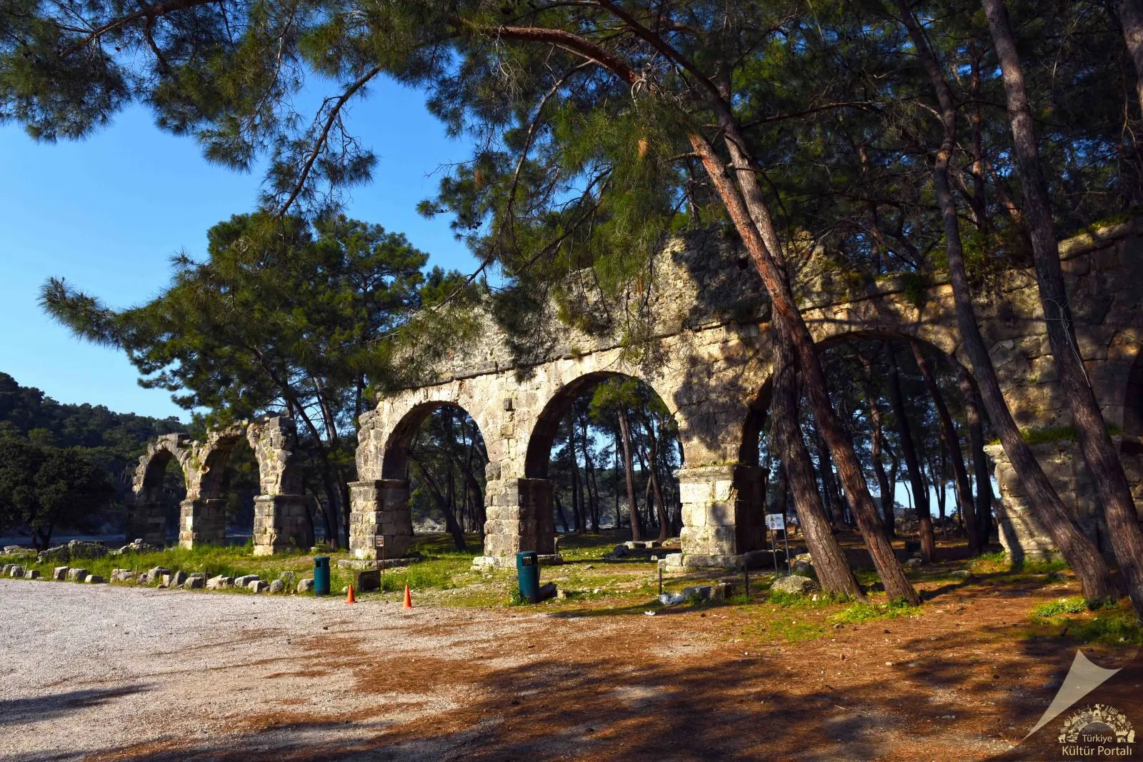
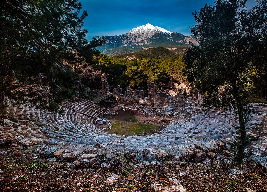
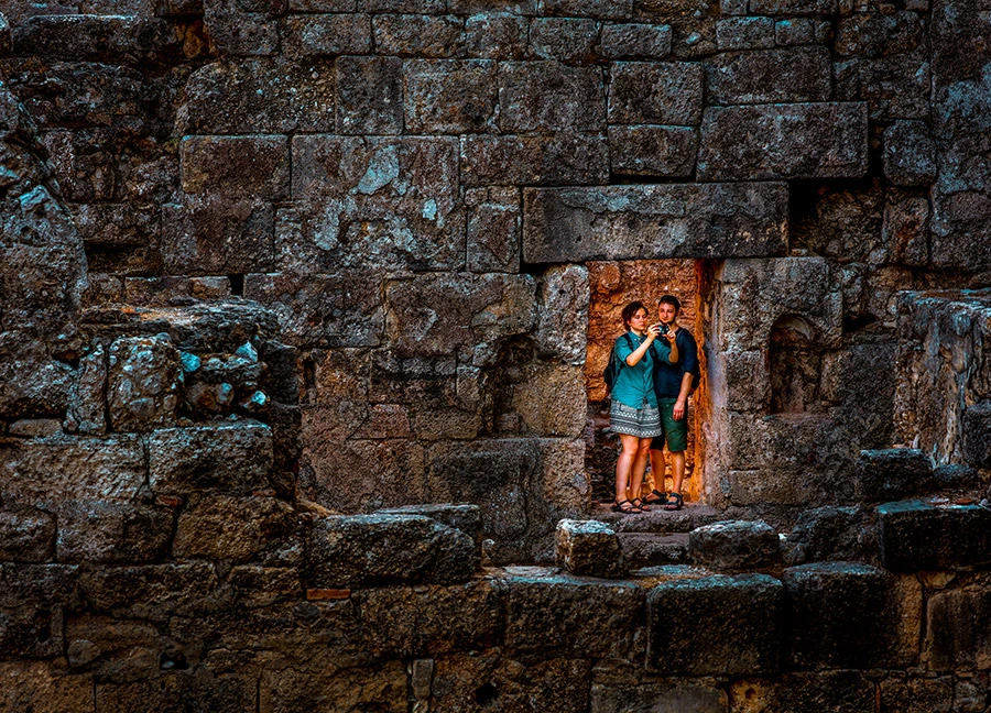
It is said that the ancient city of Phaselis was founded by colonists from Rhodes in the 7th century BC on a small peninsula extending into the Mediterranean Sea. In the legend of its foundation, it is told that the colonists responded to the local people's offers of corn or dried fish with a request for fish. Its geographical location indicates that it is an important port city. It has three harbors, one in the north of the peninsula, the other in the northeast and the third on the southwest coast. The ports, agoras and ship depictions on the city coins emphasize Phaselis' identity as a commercial port.
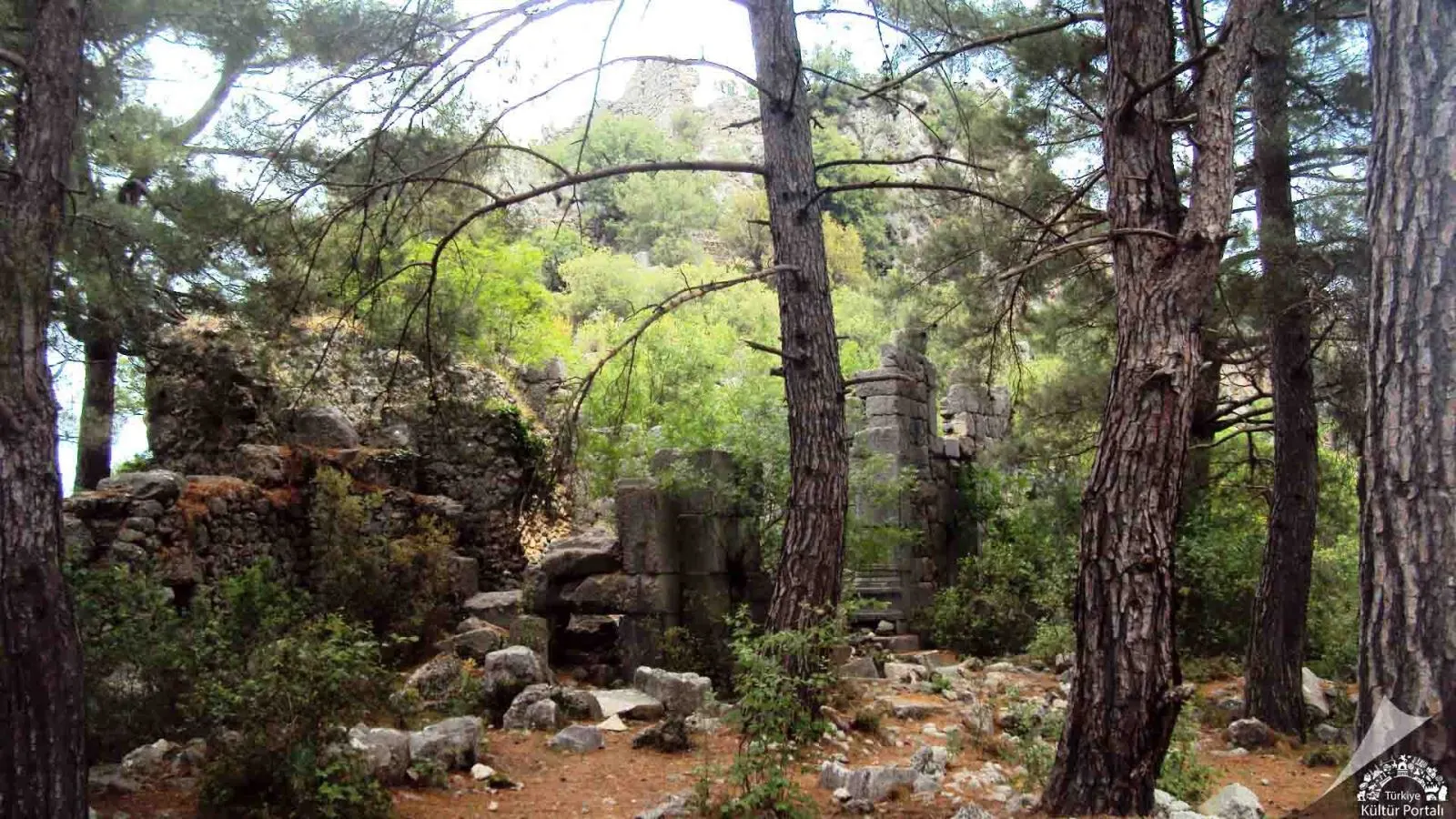
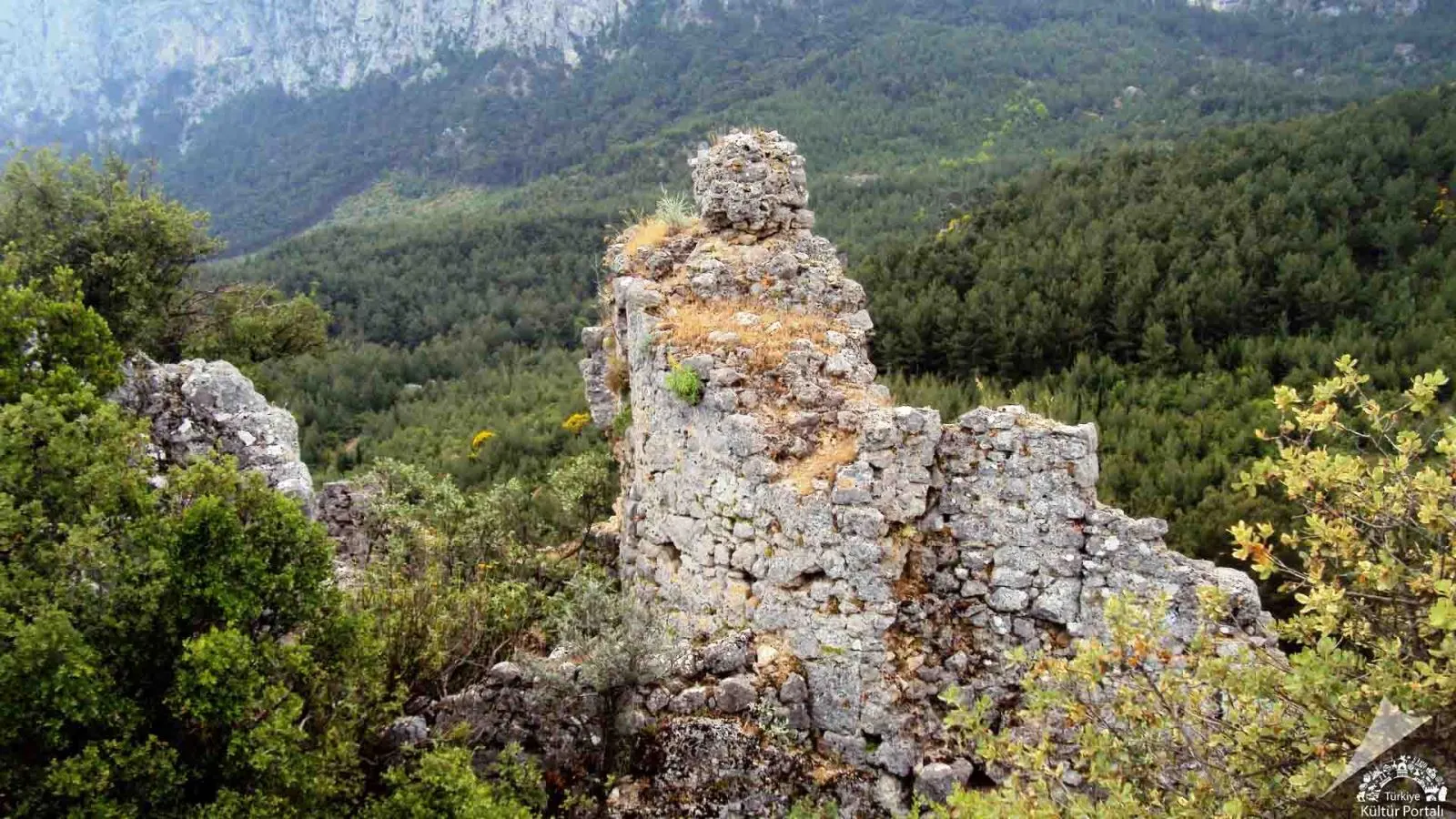
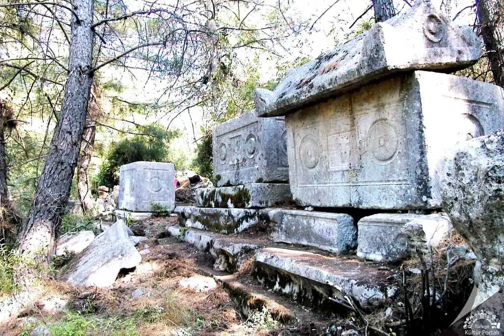
Located 32 kilometres west of Antalya at the northern foot of Sivridag, the ancient city of Trebenna can be reached via a forest road through the villages of Geyikbayırı and Çağlarca. There is no ancient literature, epigraphic or archaeological data on the existence of Trebenna in the Hellenistic and pre-Hellenistic periods. However, in the Hellenistic period, according to an inscription, Termessos was under the sovereignty of the Ptolemies between 281-280 B.C., and the same sovereignty is expected in the areas where Trebenna is located. It is also possible that the lands of Trebenna were among the lands on the eastern side of the Taurus Mountains captured by Pergamum after the Peace of Apameia (168 BC). Eumenes II (197-160 BC) annexed the western lands of Pamphylia to his kingdom. The 3rd century BC was a period of great splendour for Trebenna.
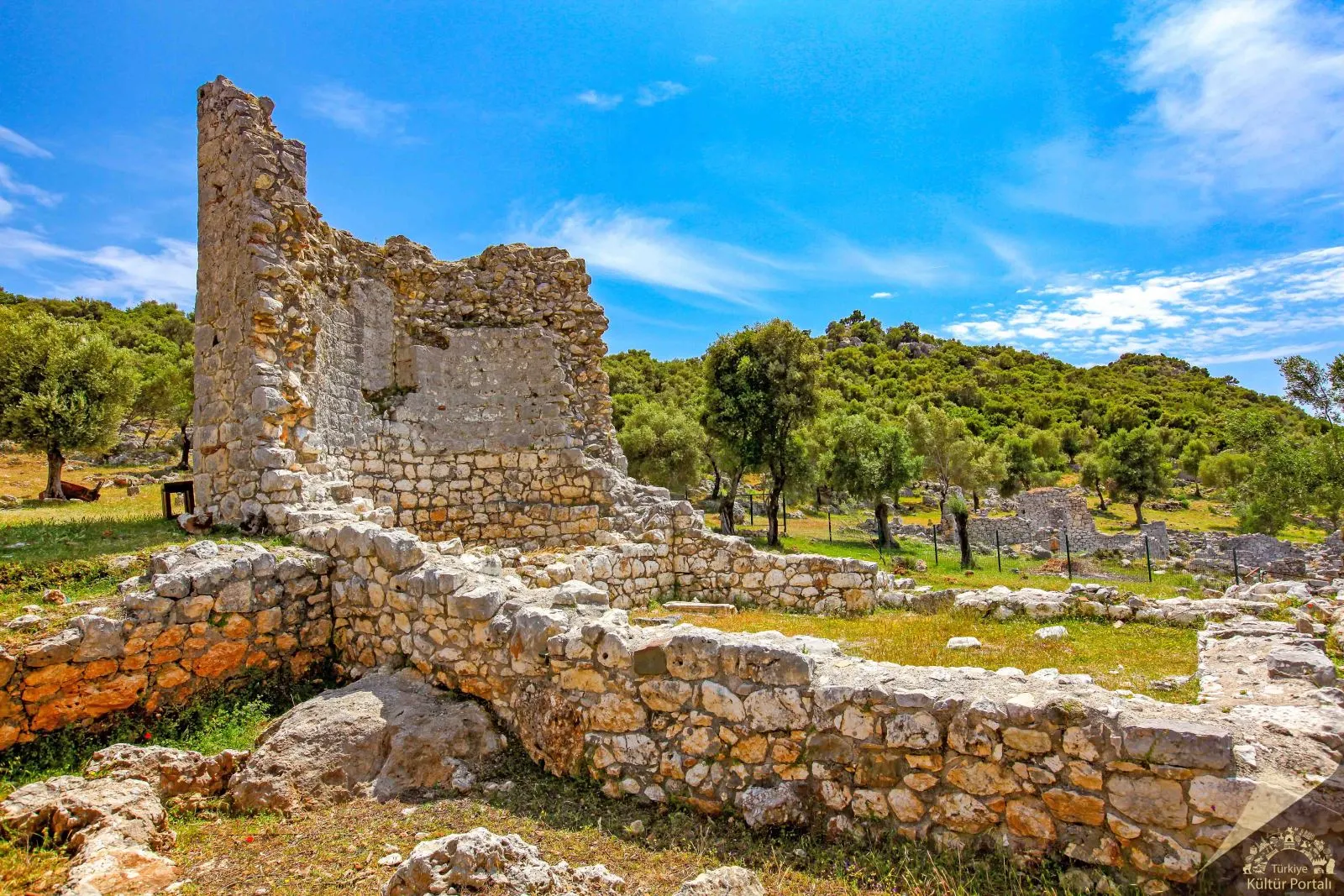
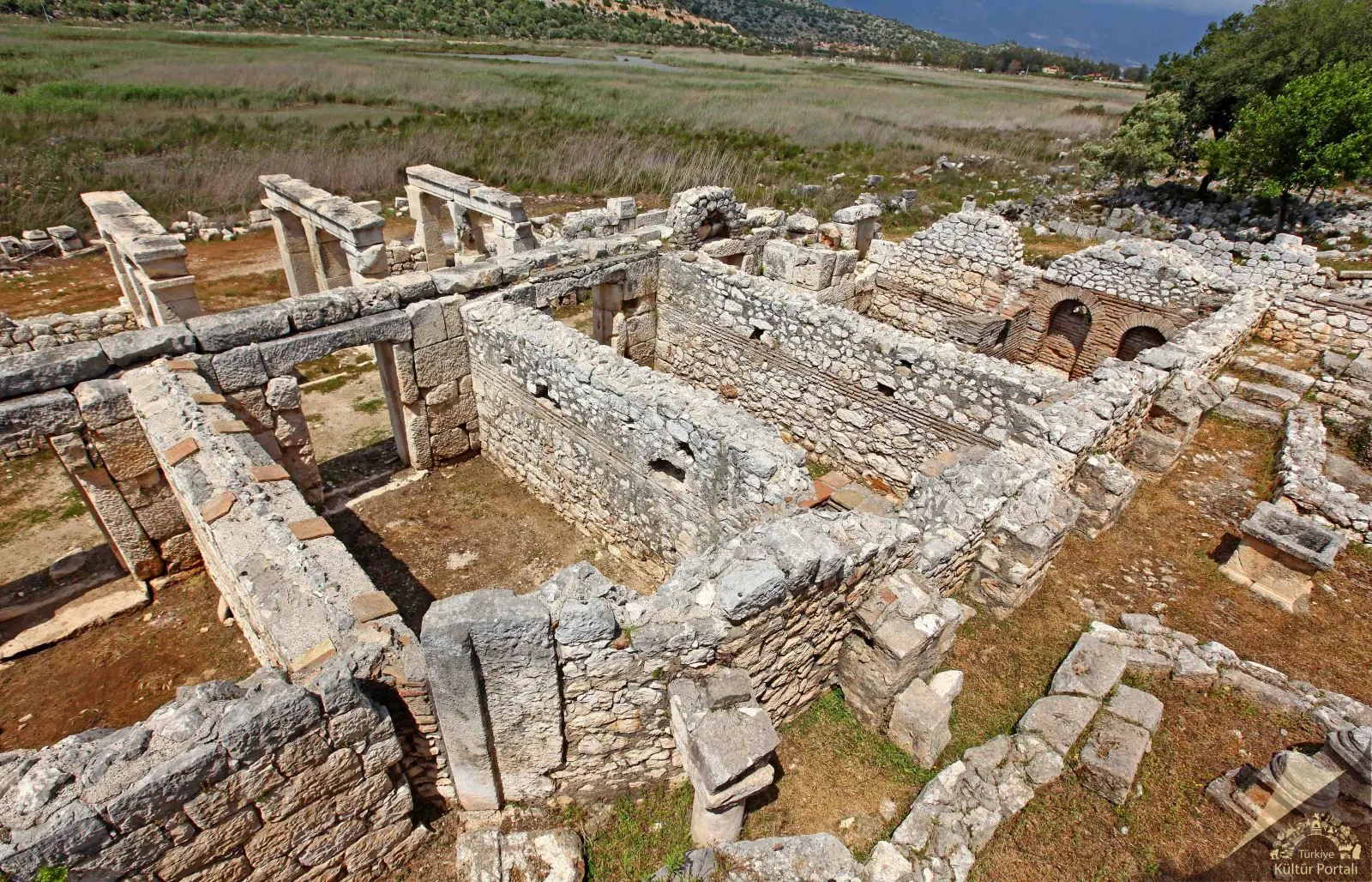
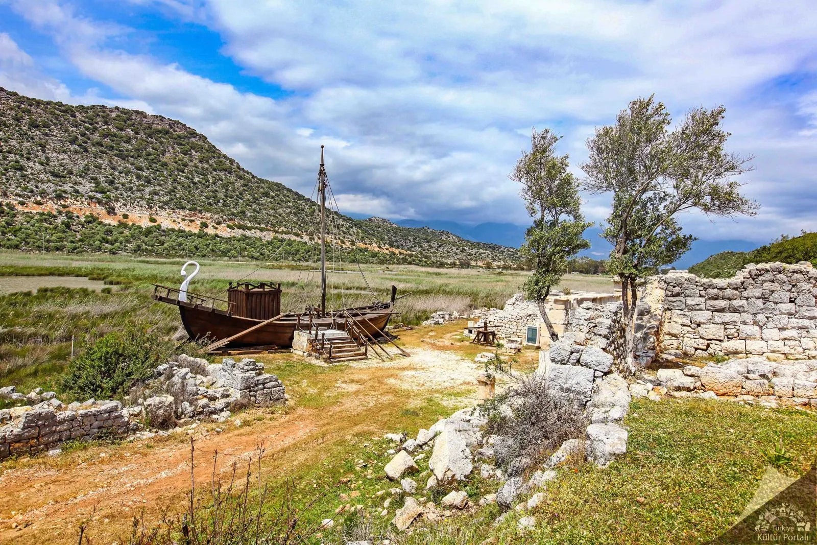
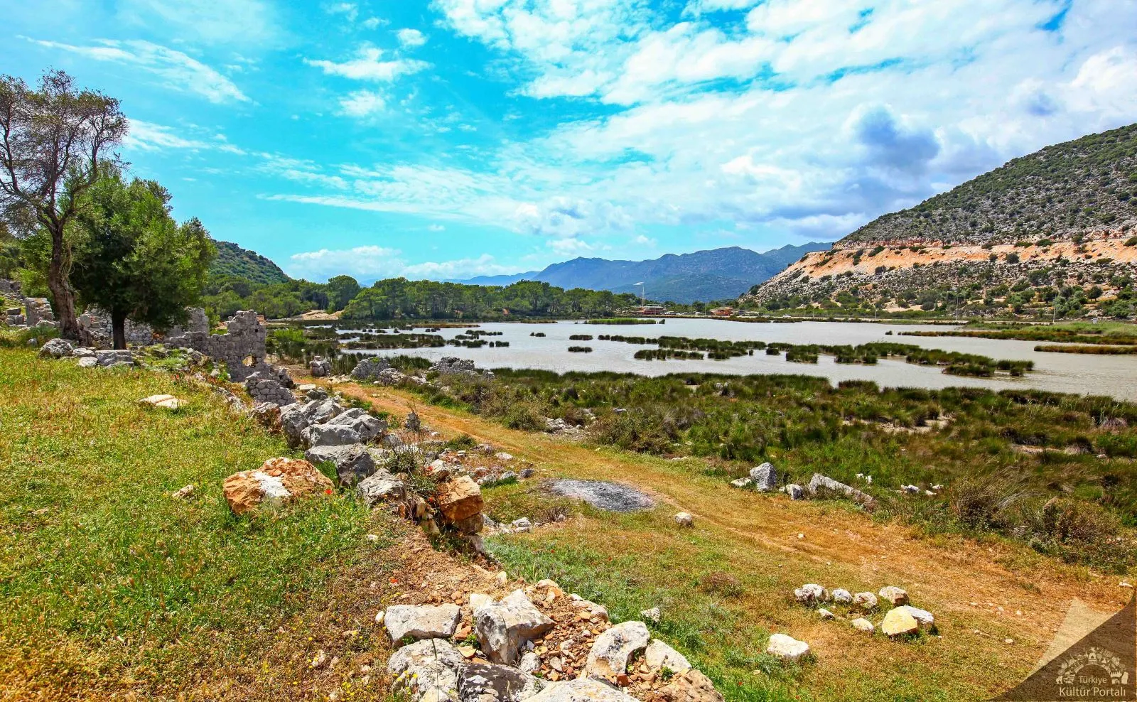
For a long time, it was debated whether the ruins in the Çayağzı area of ancient Myra, or Demre as it is known today, belonged to another city; recent research has proven that it was not an independent settlement but a port district of Myra.
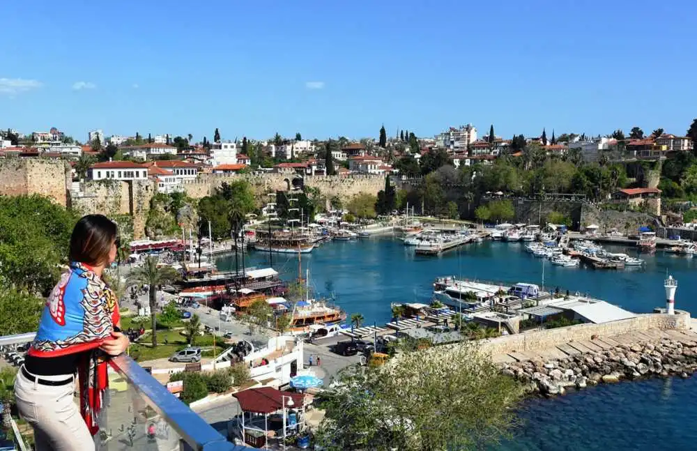
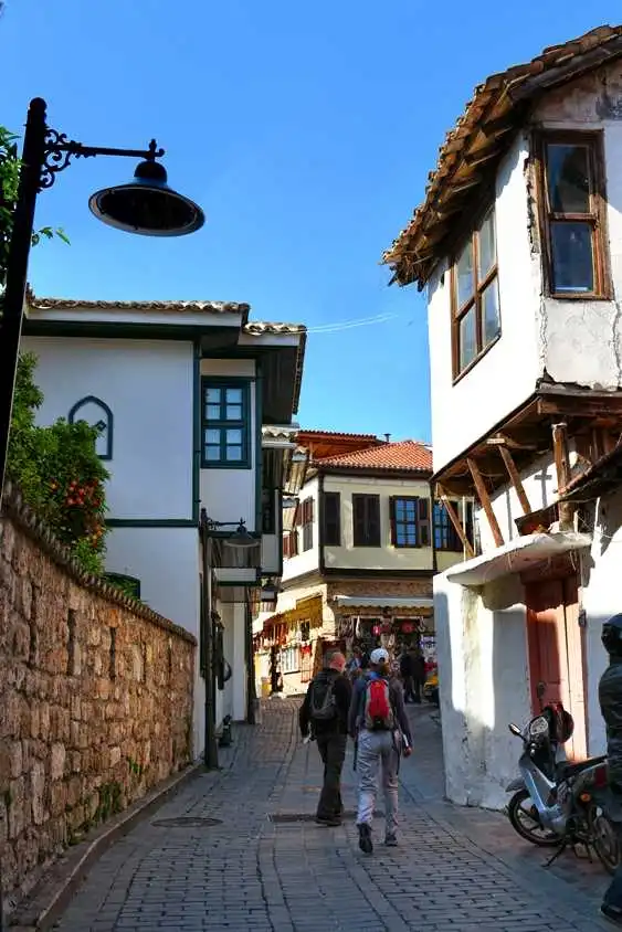

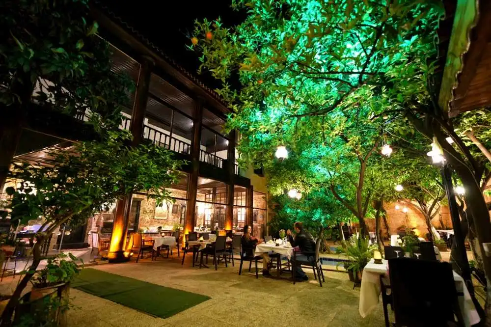
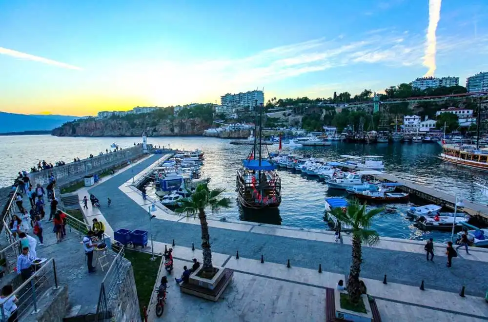
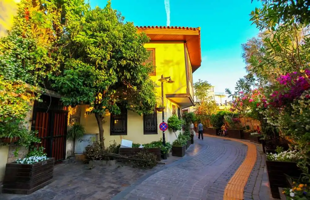
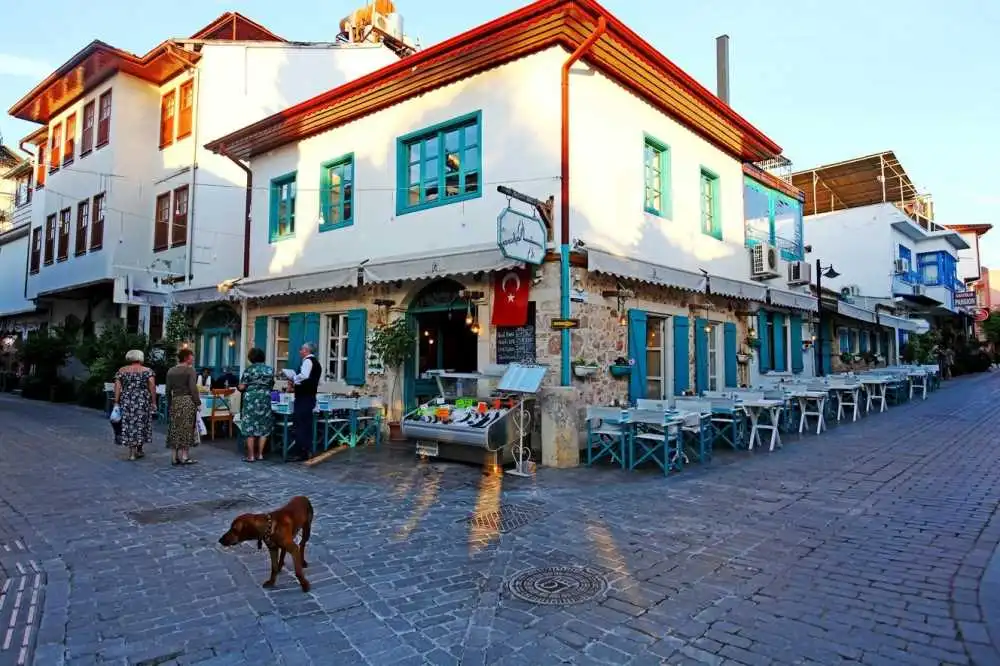
KALEİÇİ CASTLE
Attaleia-Antalya, which means "Home of Attalos", was founded by King Attalos II of Pergamon. After the end of the Pergamon Kingdom (133 BC), the city remained independent for a while and then fell into the hands of pirates. It was annexed to Roman territory by Commander Servilius Isauricus in 77 BC and became a base for Pompeius' navy in 67 BC. Hadrian's visit to Attaleia in 130 A.D. led to the development of the city.
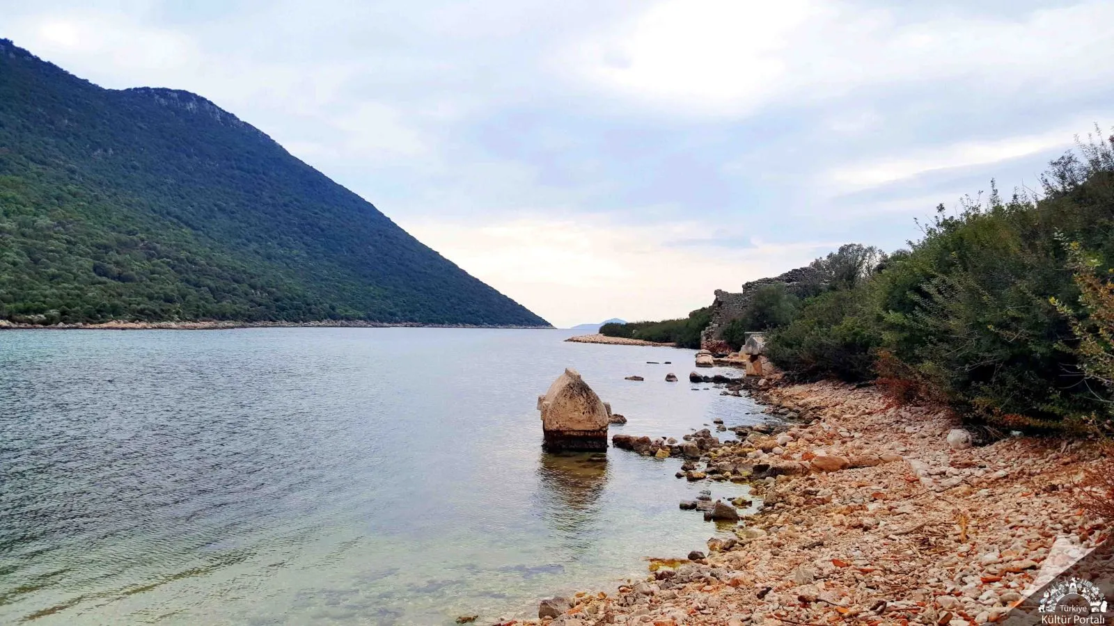
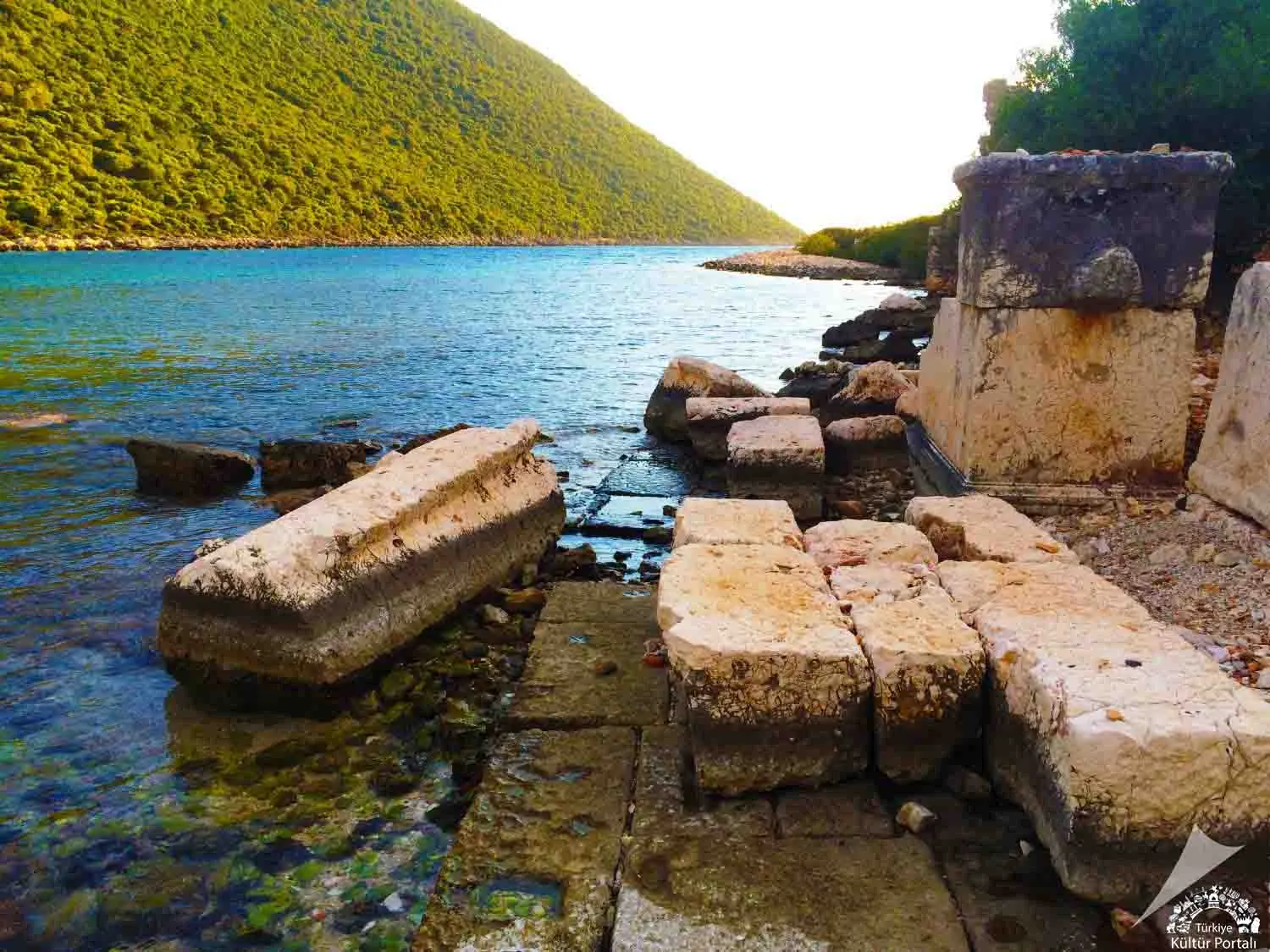
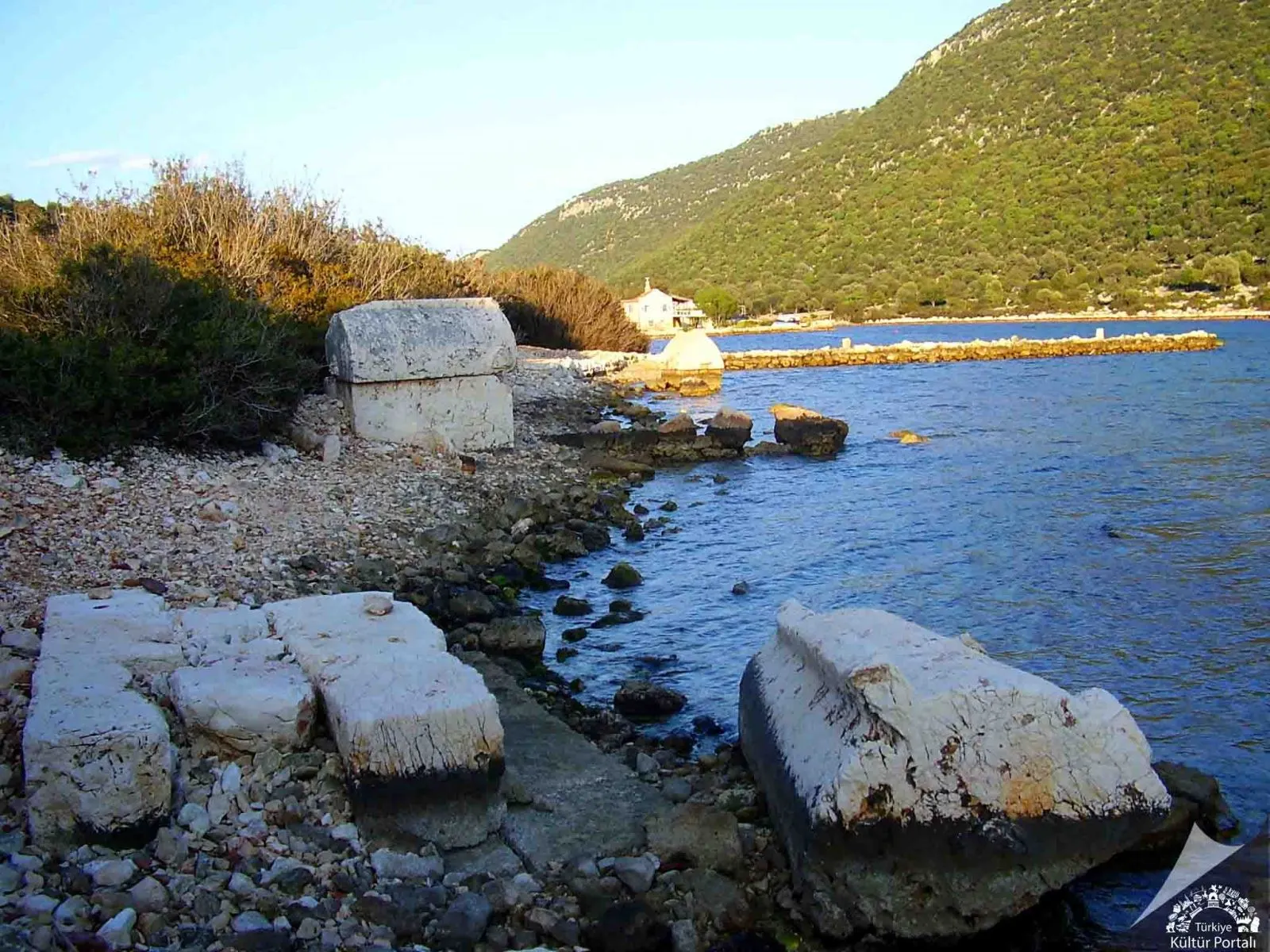
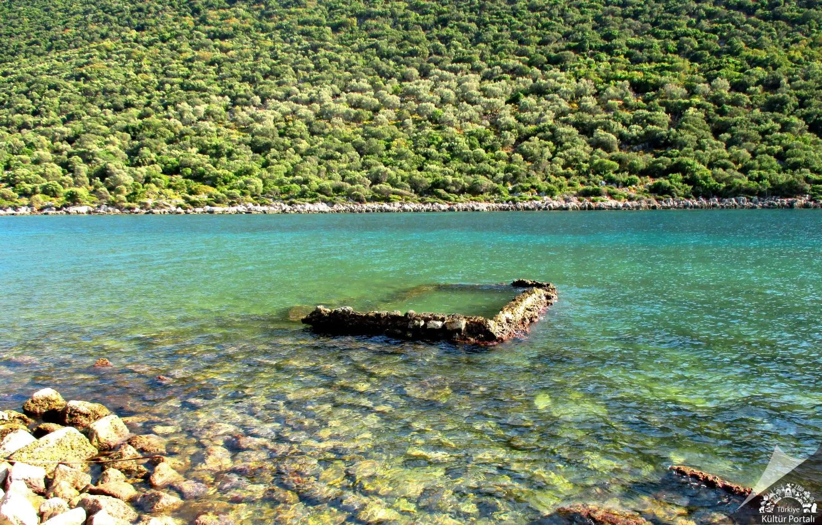
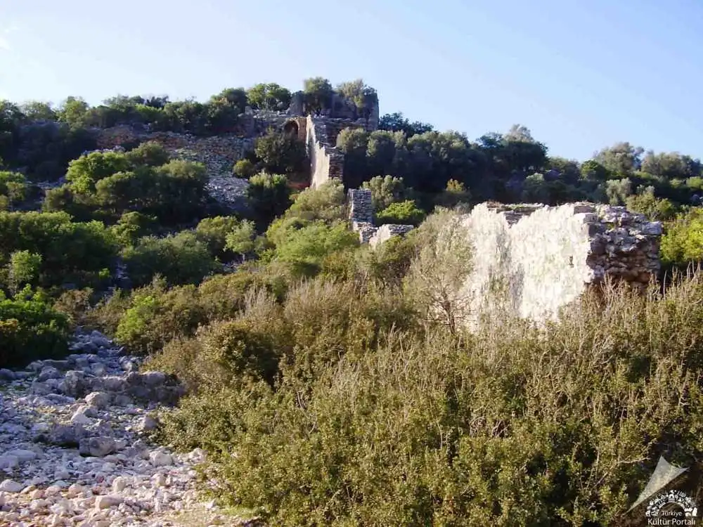
The ancient city of Aperlai is located at the beginning of a long and narrow bay on the Sıçak Peninsula between Kaş and Kekova. The easiest way to get there is by sea from Kaş and Üçağız to Sıçak Pier. The original name of the town is "Aprillai" in the Luwian language and means "River Strait". Aperlai is a small Lycian harbour town.
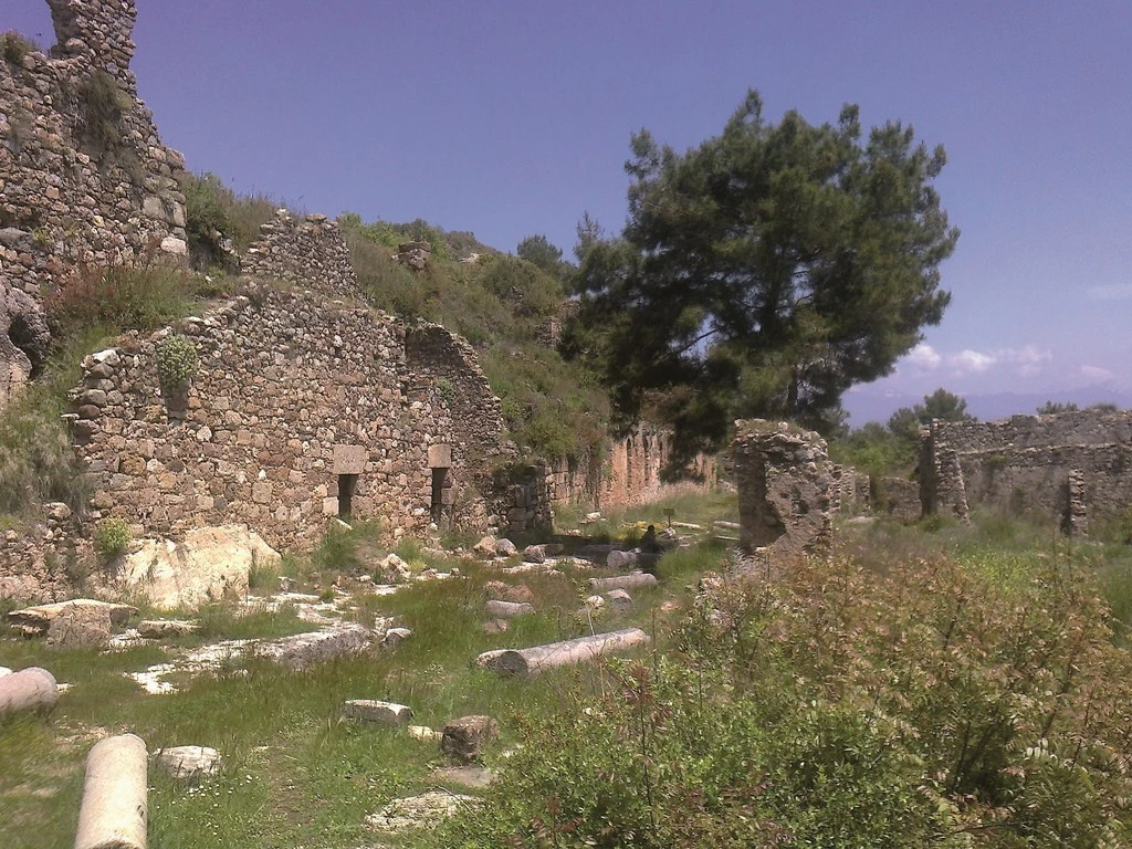
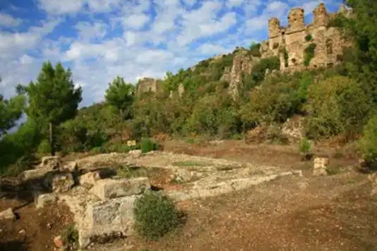
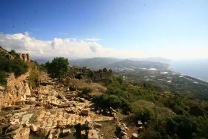
Syedra, whose settlement dates back to the 9th century B.C., is located approximately 20 kilometers southeast of Alanya, within the borders of the Seki district. Its location makes it one of the most strategic cities in the region. The "Upper City" part of Syedra, which has the characteristics of both a mountain city and a coastal city, was built at an altitude of 400 meters and on a slope; therefore, the buildings were placed gradually and the transitions between the different levels were provided by stairs. The "Lower City" is a port settlement that extends from the southwestern slopes to the coast. The inscriptions unearthed during the excavations in Syedra show that the city was a center where important competitions were organized and that it experienced its most glorious years between the 2nd and 4th centuries BC. It can be said that the traces of life in the city continued until the 13th century.
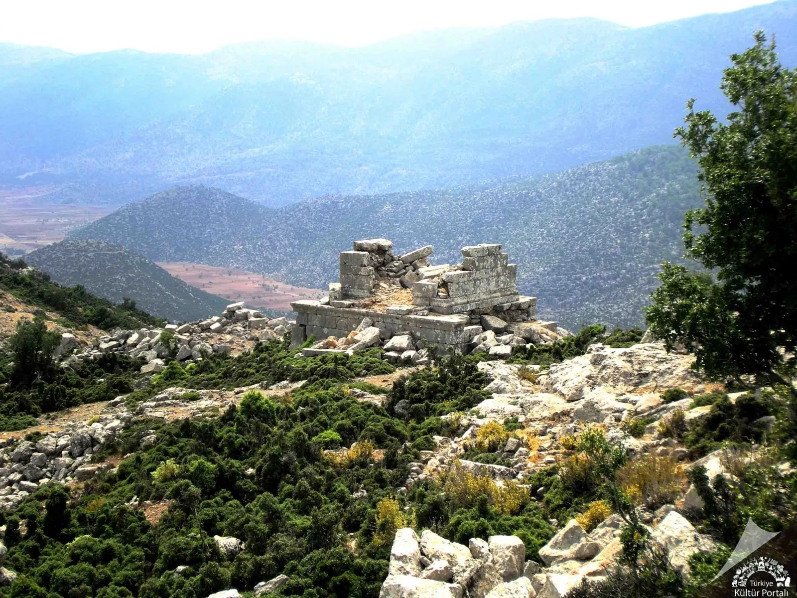
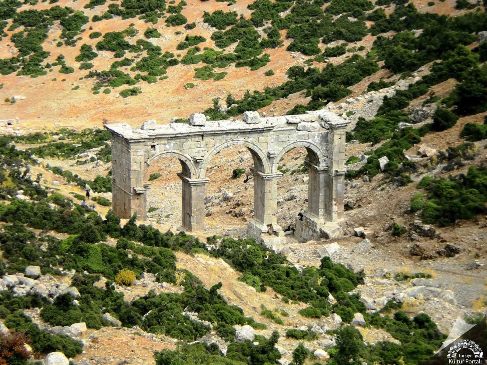
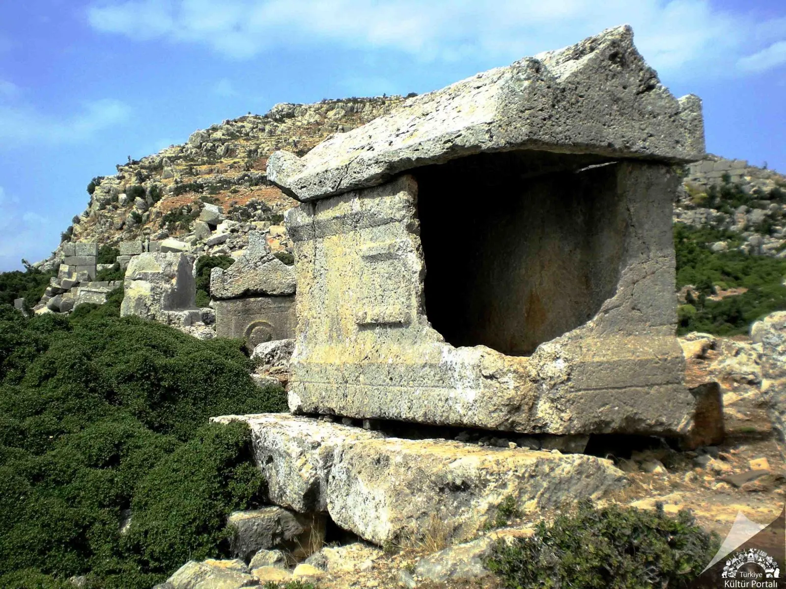
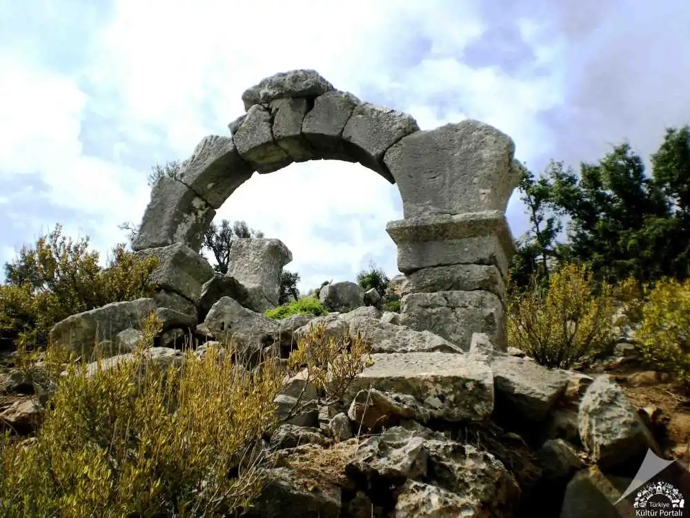
Ariassos, one of the cities of the Pisidian region, is located 50 km north of Antalya, west of the 924 m high Çubukbeli, the strait that connects the Antalya coast with the Anatolian Patos, 1 km from the village of Akkoç. The city was officially founded in 189/188 BC in connection with the campaign of Manlius Vulso and the Peace of Apameia. The city continued to mint coins from the 1st century BC until the reign of Gallienus (253-267). Hierocles places the city in the province of Pamphylia in late antiquity. Until the 12th century it is mentioned in the Notitia Episcopatum as a diocese of Pamphylia II.
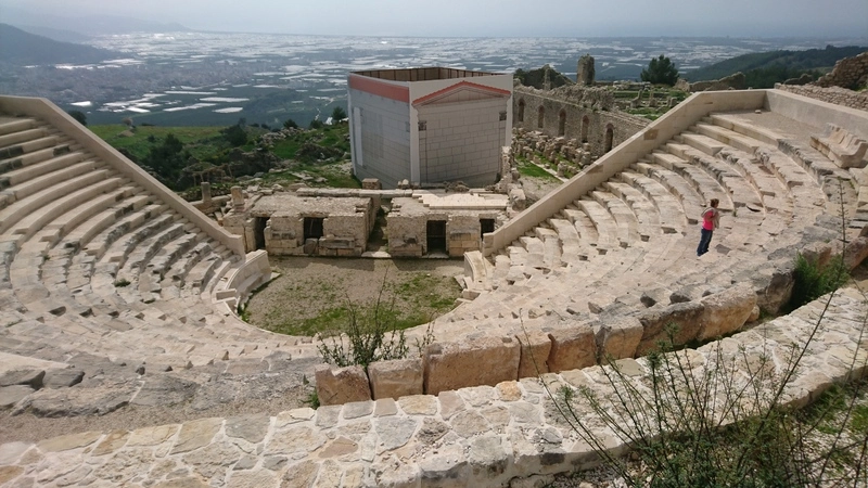
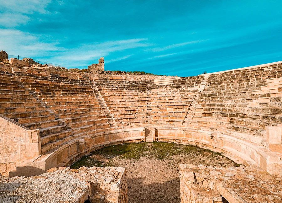
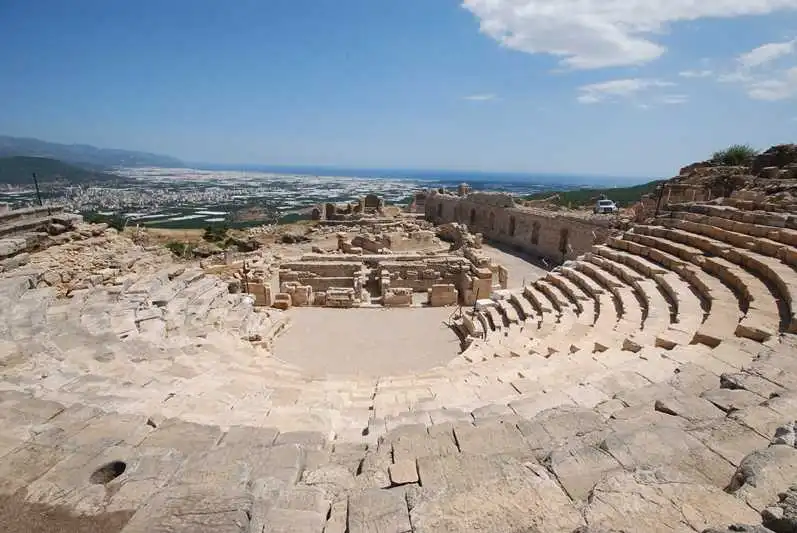
Rhodiapolis, located on a hill near the village of Sarıcasu in the Kumluca district of Antalya, is considered to be a city founded by the Rhodians because of its name. It is one of the few Rhodian colonies in the region, such as Gagai, Phaselis, Korydalla and Olympos, which are very close to it. According to Theopompos, Rhodiapolis was named after Rhodos, the daughter of Mopsos. The settlement, whose name we learned from Hekataios, developed after it was colonised by the Rhodians. All the cities of the region are members of the Lycian Union. The coins of Rhodiapolis and Gagai are marked "Lycian".
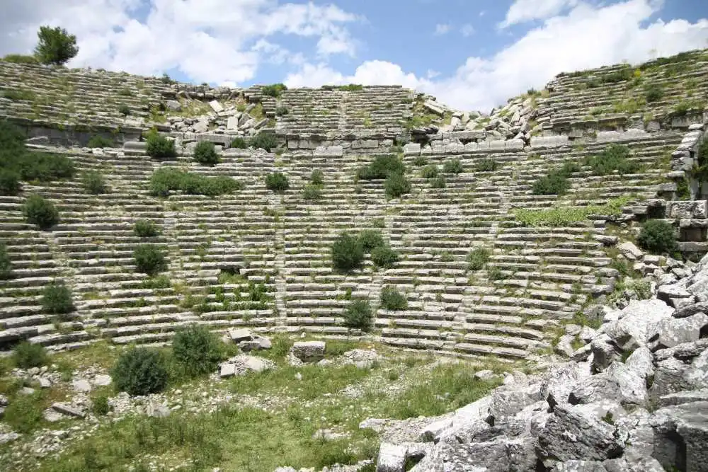
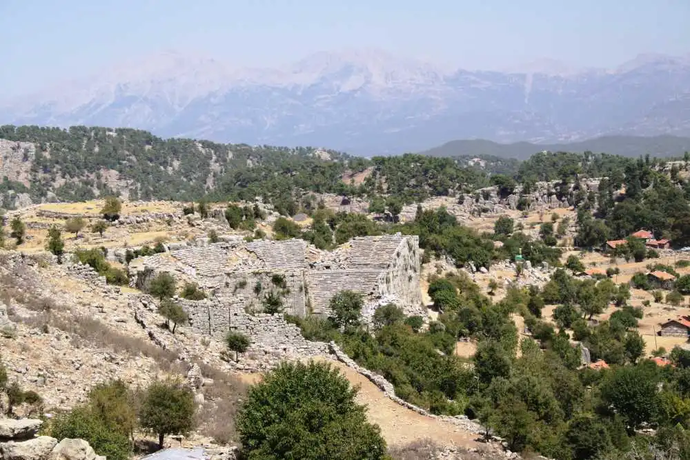
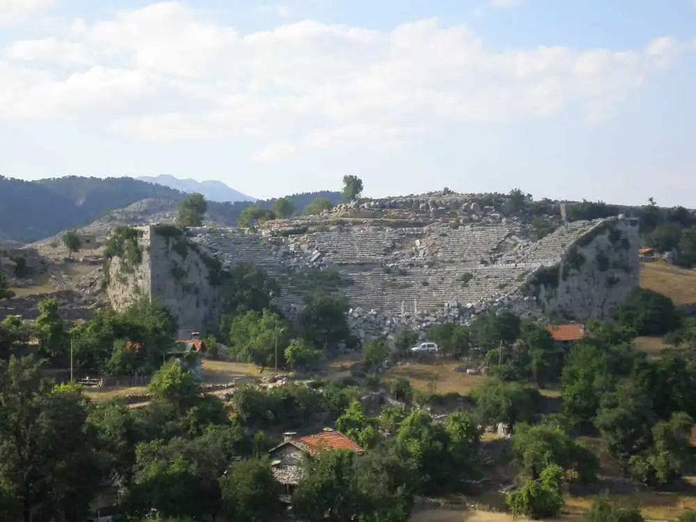
It is located in the Altinkaya (Zerk) district of Manavgat, Antalya province. It is reached by a 55 km long asphalt road that follows the Köprüçay River northwards from the Taşağıl junction of the Antalya-Manavgat Highway. It is 80 kilometers from the centre of the district. It is one of the important cities of the Pisidia region. Its connection (Eurymedon) is with the cities of Pamphylia via the Köprüçay valley. Its trade was carried out with the port of Aspendos at the mouth of this river and its relations were strengthened by the monetary union it established with Aspendos. As a result of this natural dependence, it was withdrawn within the borders of the Pamphylian province in 25 AD. Its foundation is attributed to Kalchas in the later Hellenic epics. The fact that it was a native Anatolian city is evidenced by the name Estlegiiys on the coins.
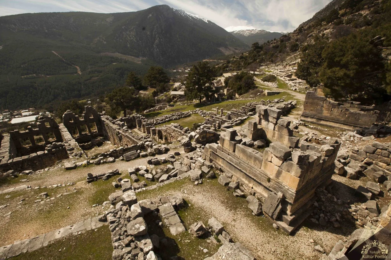
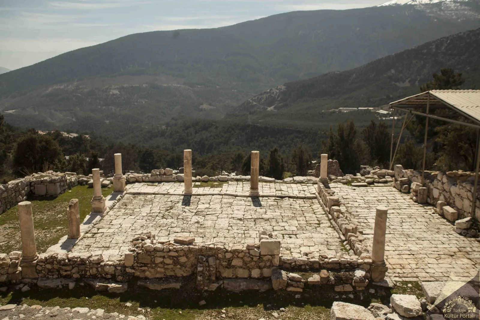
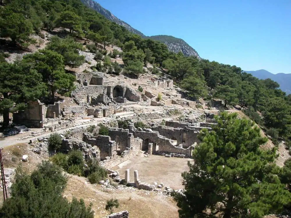
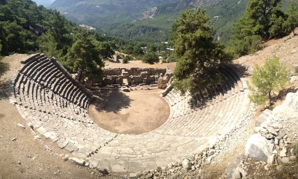
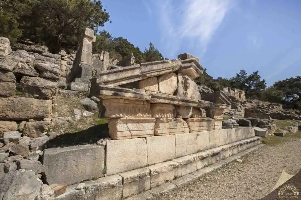
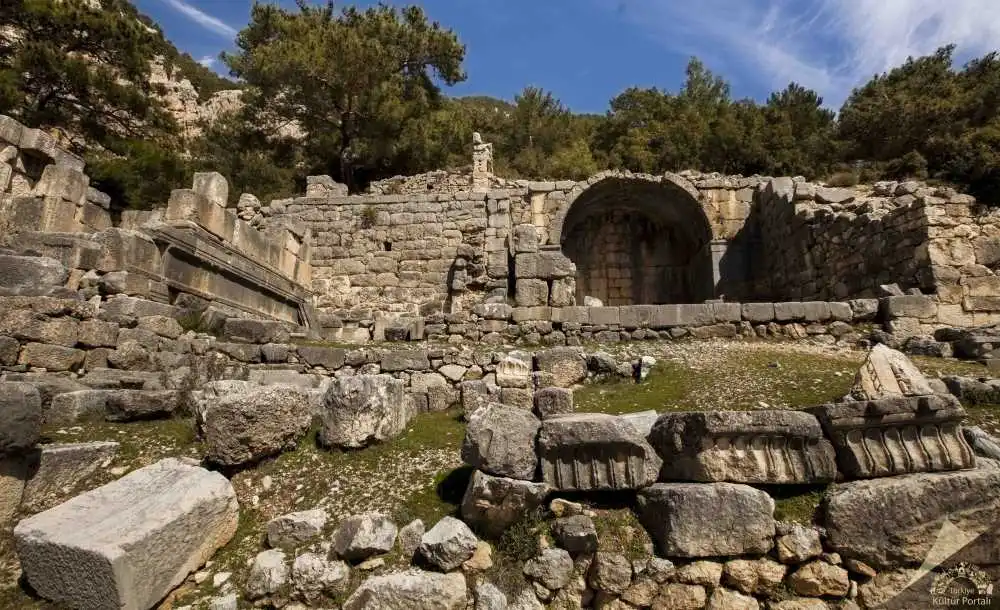
The name of the ancient city of Arykanda, located within the boundaries of the village of Arif in the Finike district of Antalya province, means "Ary-ka-wanda", "the place by the high rock" in the Lycian language. The fact that the name of the city reflects the native Anatolian language philologically shows that it is one of the oldest cities in the region. In addition to Arykanda, Late Chalcolithic/Early Bronze Age axes found in Limyra and Patara in recent years indicate that the region was intensively settled. However, it is difficult to date the city before the 5th century BC on the basis of the finds, except for the stone axe dated to the 2nd millennium BC. Coins of the local lords Kuprili and Aquwami from the 5th century BC reflect Arykanda during the Persian domination, followed by coins of Pericles, Lord of Limyra, from the 4th century BC. According to this, Arykanda must have remained under the rule of Limyra for a while and changed hands with Alexander. It is known that after the death of Alexander, like the other cities of the region, it fell into the hands of the Ptolemies, then the Seleucids, and after the Peace of Apemea (Dinar) it came under the control of Rhodes.
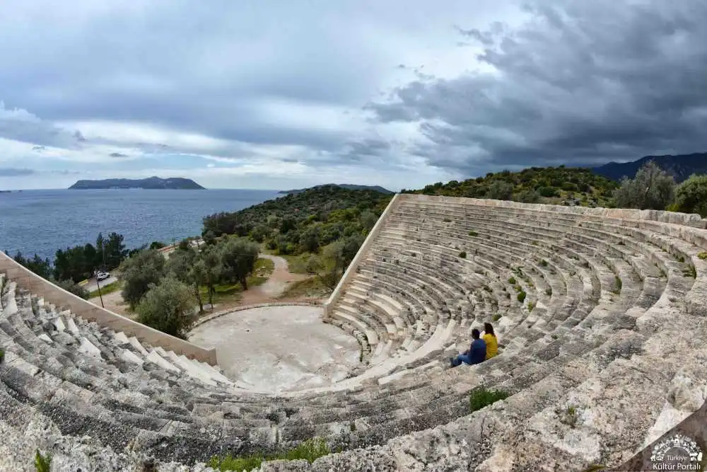
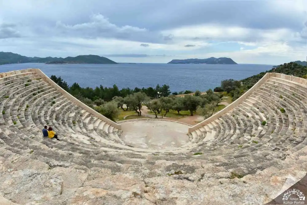
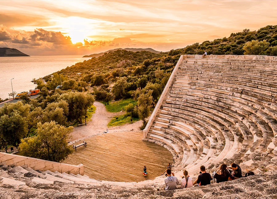
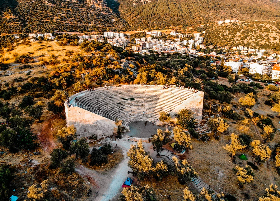
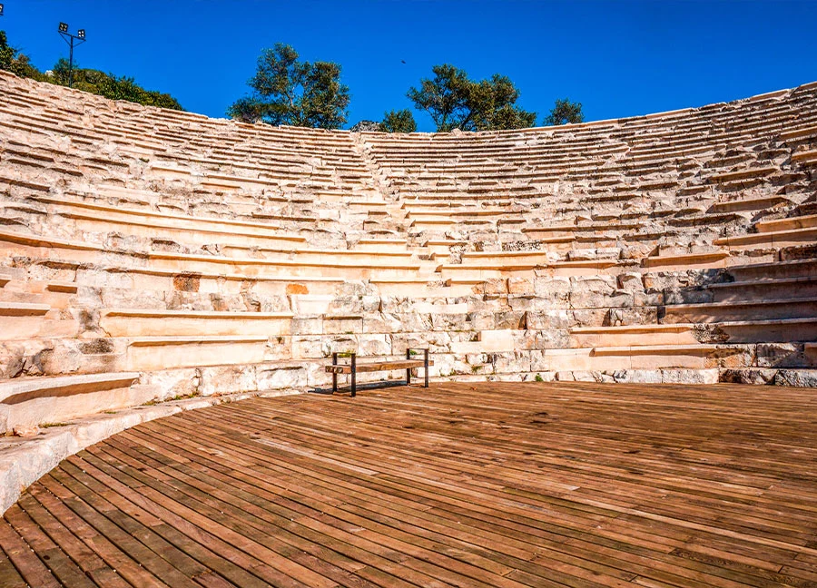
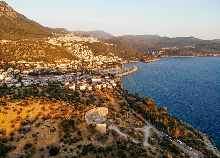
Antiphellos, known as Habesos or Habesha in the Lycian language, is one of the ancient settlements of the Lycian region. The city, which later took the name Antiphellos, means "the place opposite the rocky place", "opposite Phellos". It was one of the member cities of the Lycian Union and is known to have been the port of the city of Phellos to the north and to have existed since the 6th century BC. In the Hellenistic period, commercial ventures became more important and Antiphellos developed more rapidly in response to the decline of the main city, Phellos, and became an important port during the Roman Empire.
From the middle of the 2nd century BC, Antiphellos was recognised as a commercial city, although it was restricted to a single vote in the Lycian Union, both with its own coins and those issued on behalf of the Union. The ruins of the ancient city within the district of Kas continue around the district and along the peninsula in an east-west direction. At the beginning of the peninsula and on the side facing the island of Meis, the remains of the Hellenistic city wall can be seen. To the south-east of the church, now a mosque, where the walls face the harbor, there are the remains of a temple with an unknown temenos to which god it belongs. The temenos of the temple was built in rectangular masonry. The original structure dates from the 1st century BC and the later addition from the 3rd century AD.
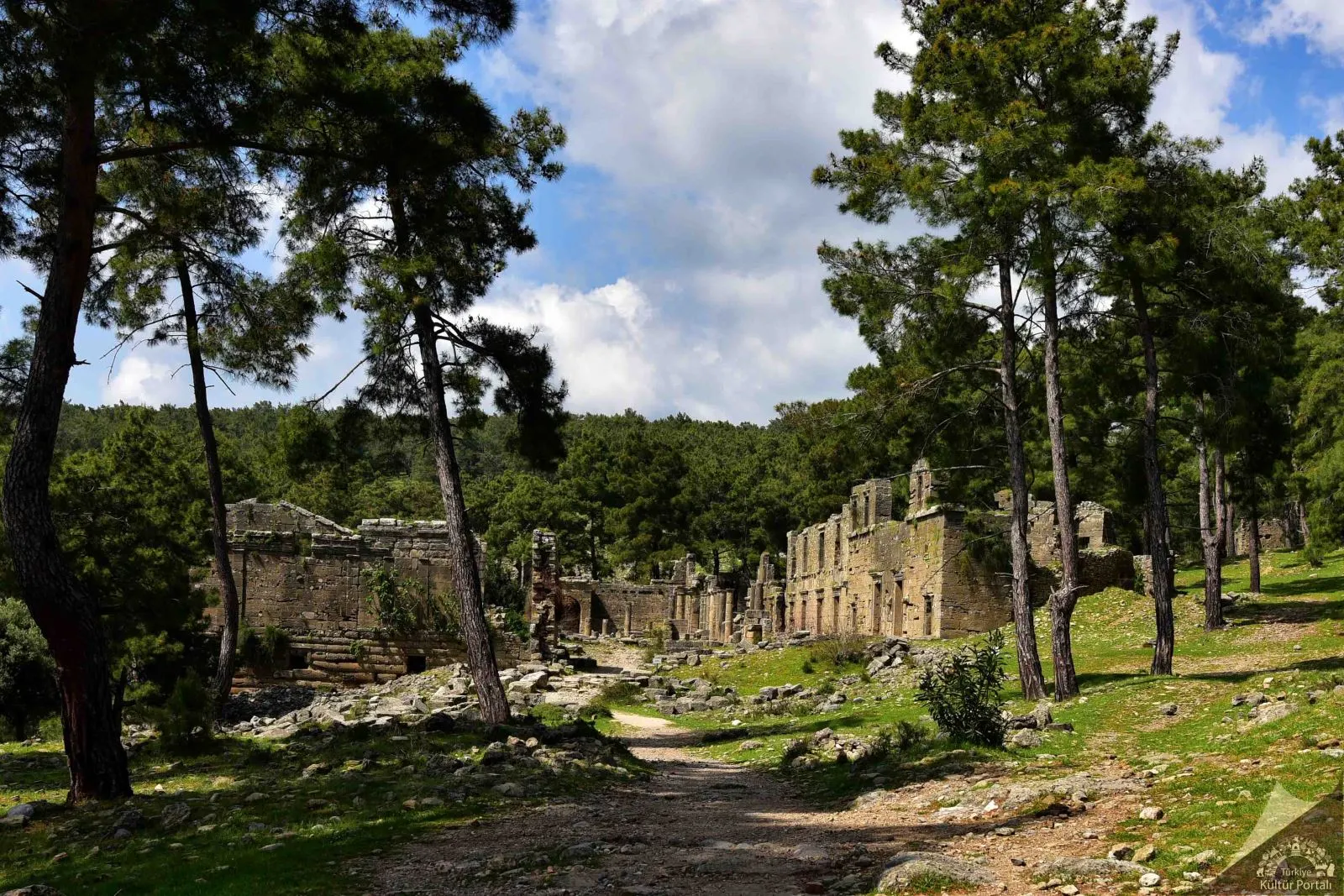
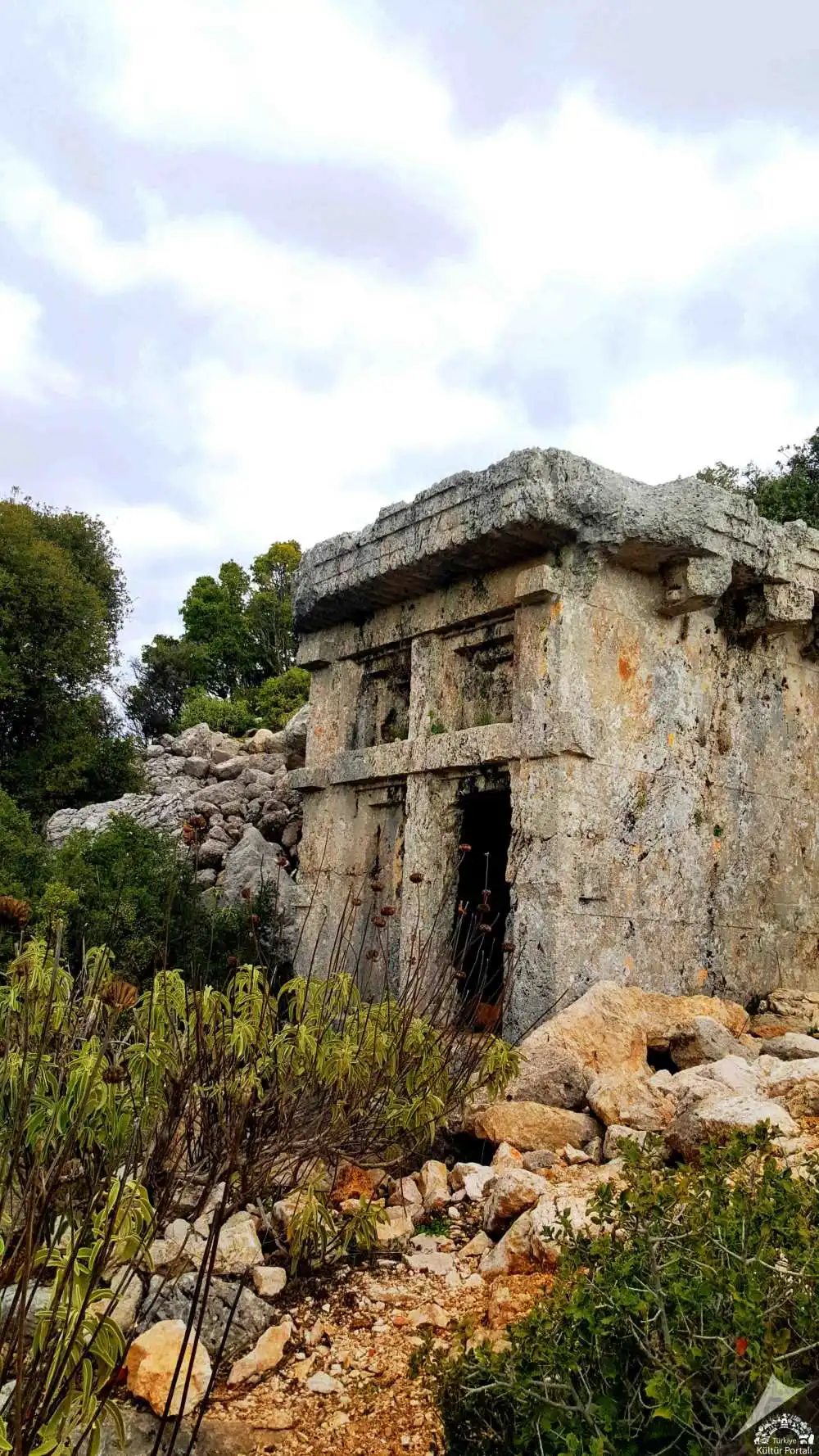
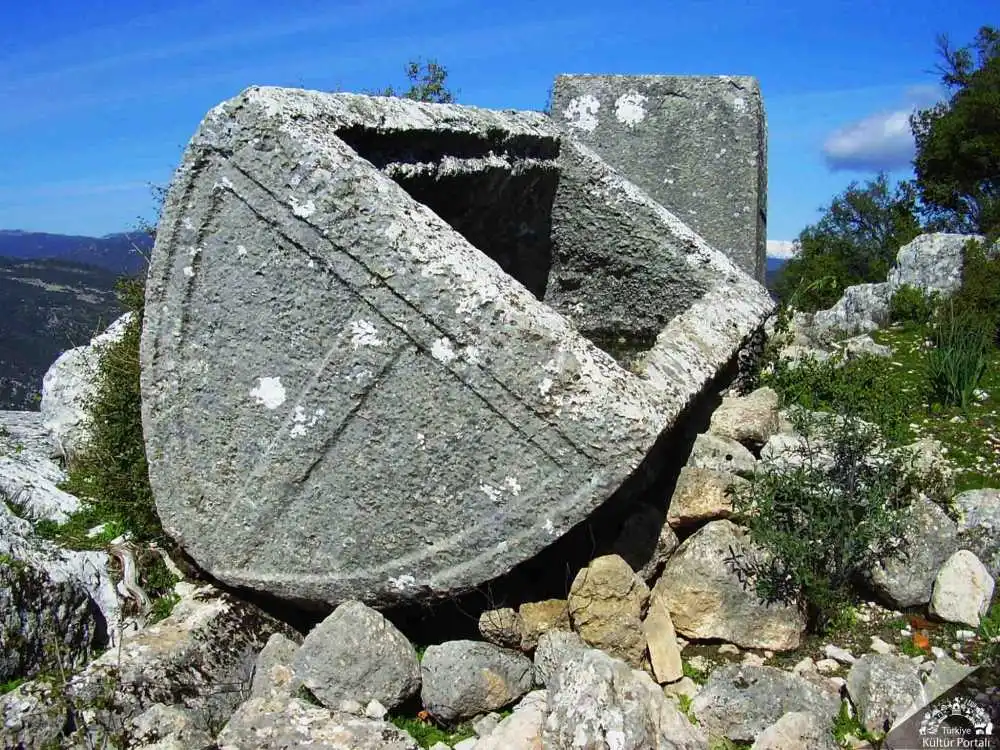
The ancient city of Lyrbe, a Pamphylian city, is located near the Bucakşeyhler quarter of Manavgat district. The city, which seems to be hidden among pine trees, is built on a hill that extends from the forest to the south; from here you can see a wonderful view of the Oymapınar Dam.
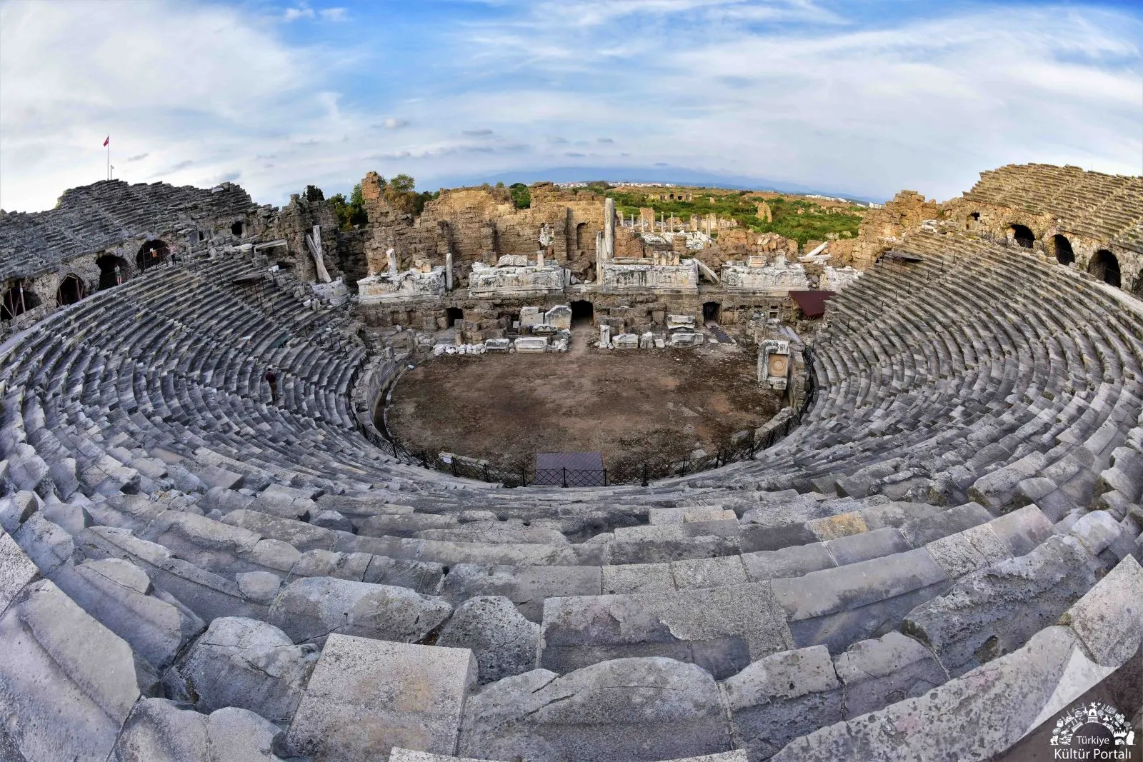
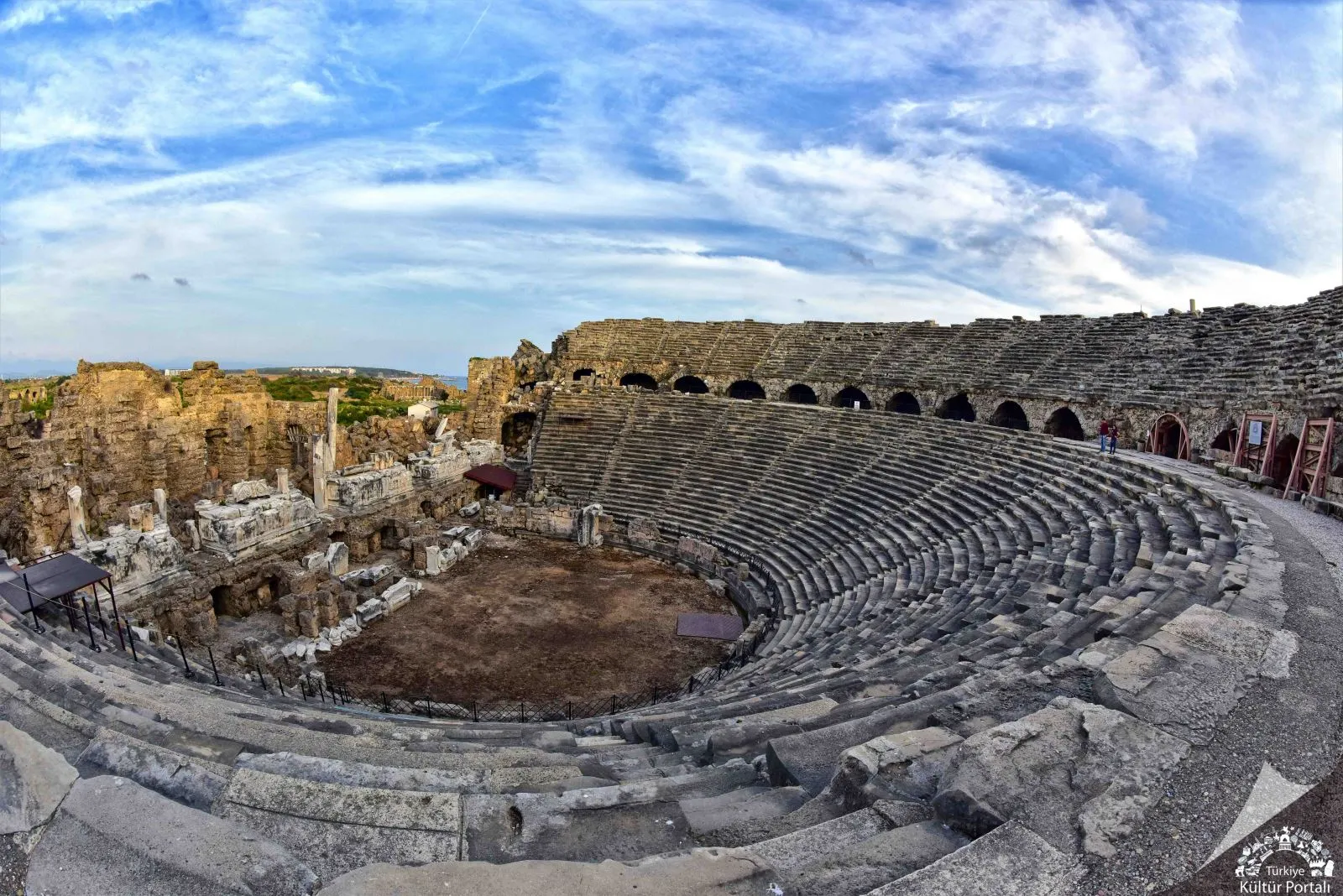
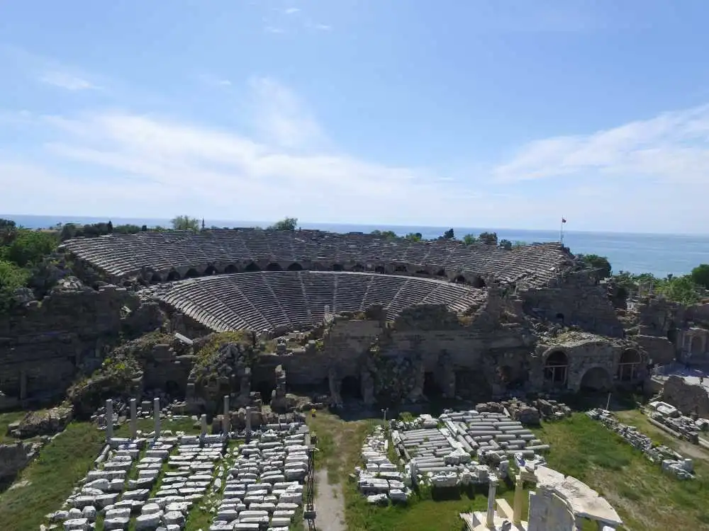
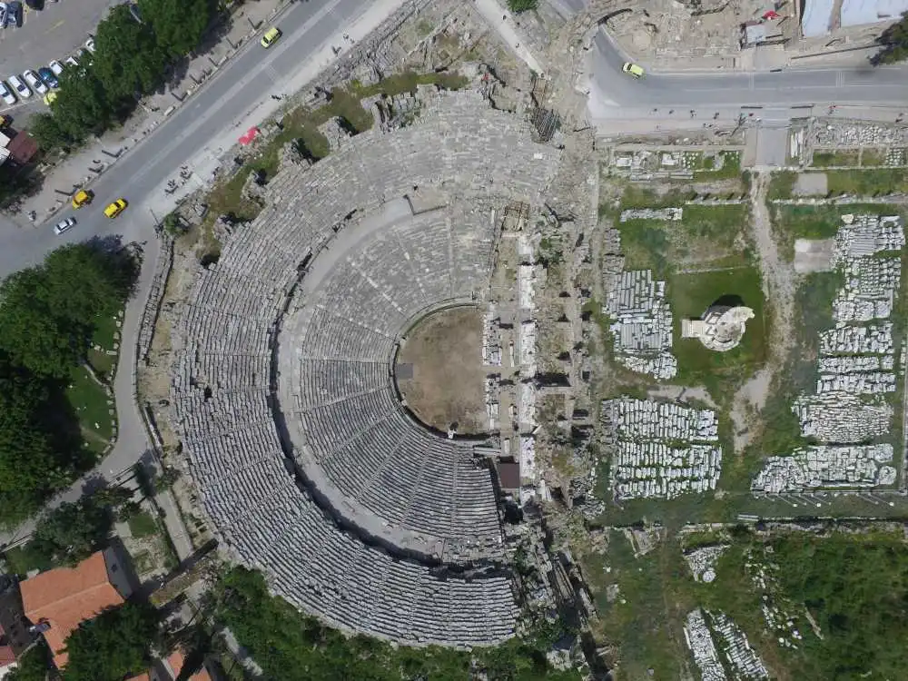
The Ancient Theatre of Side is located in the narrowing of the peninsula where the ancient city of Side is situated, and in the centre of the city. It has not yet been proven that the theatre is a pioneer building of the Hellenistic period. Although the plan of the building is in the Hellenistic tradition with a semicircular shape, the construction technique is in the Roman architectural tradition.
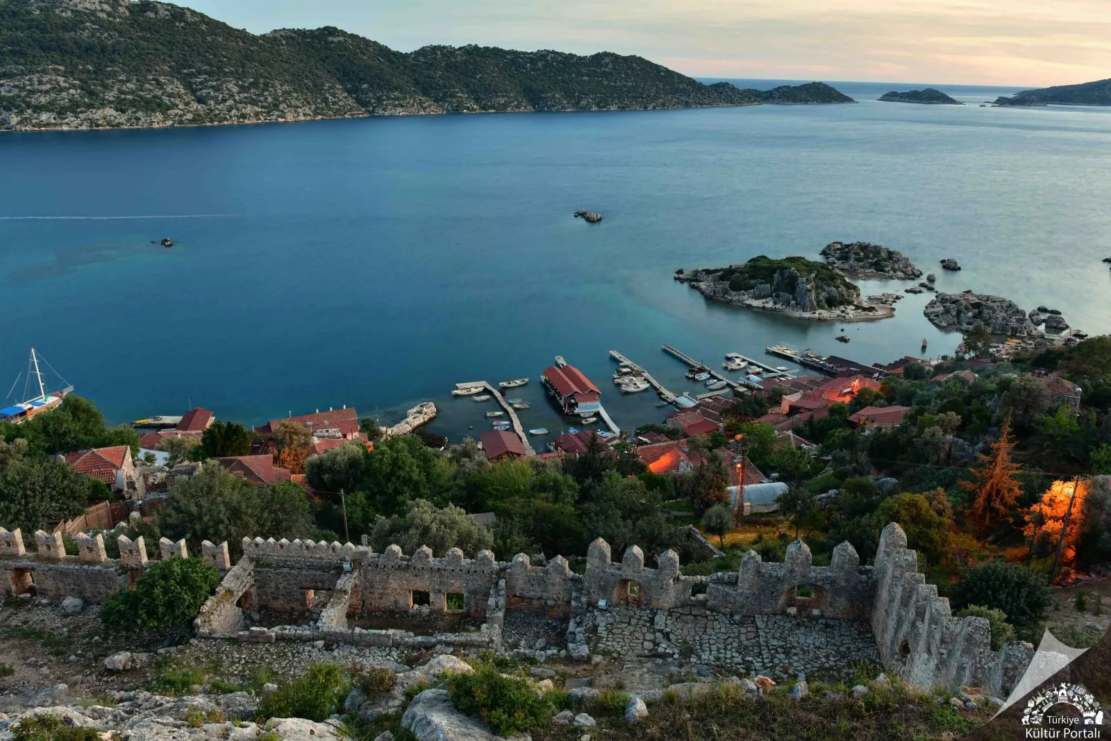
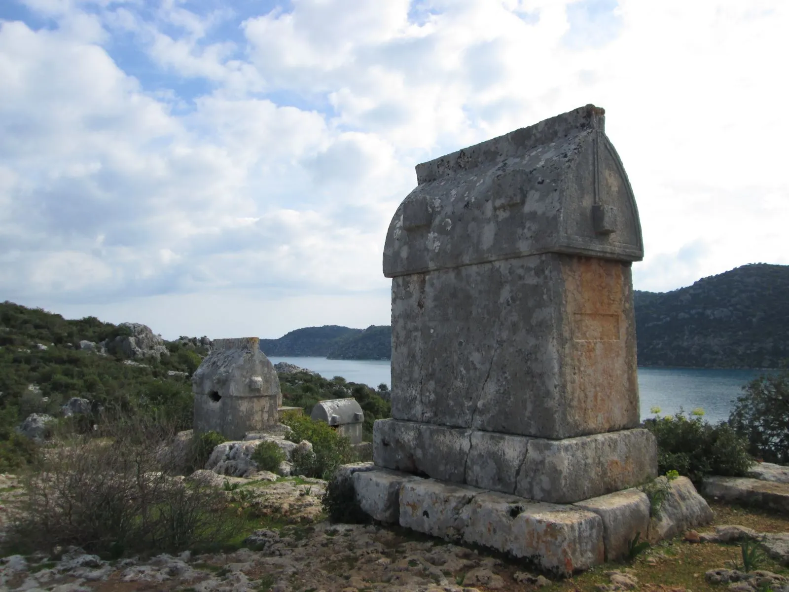
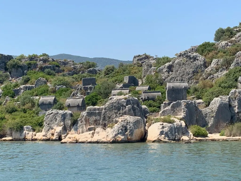
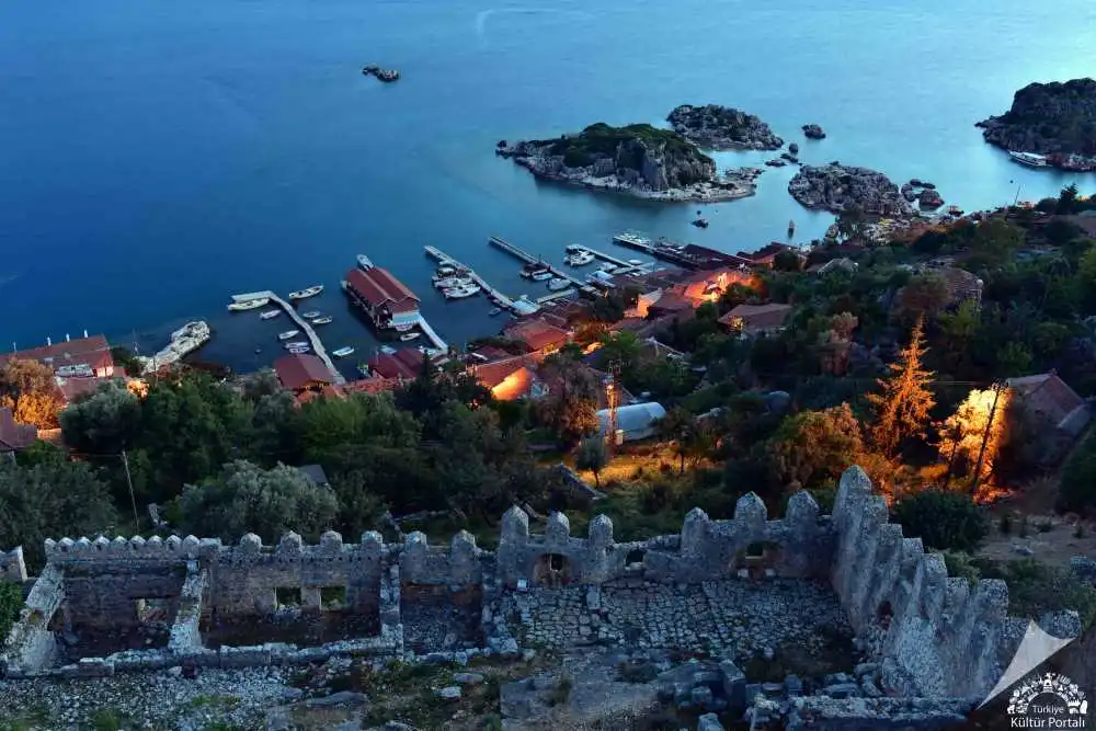
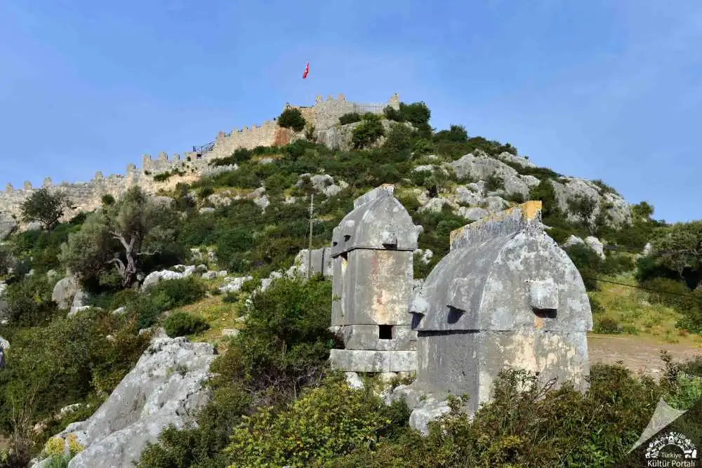
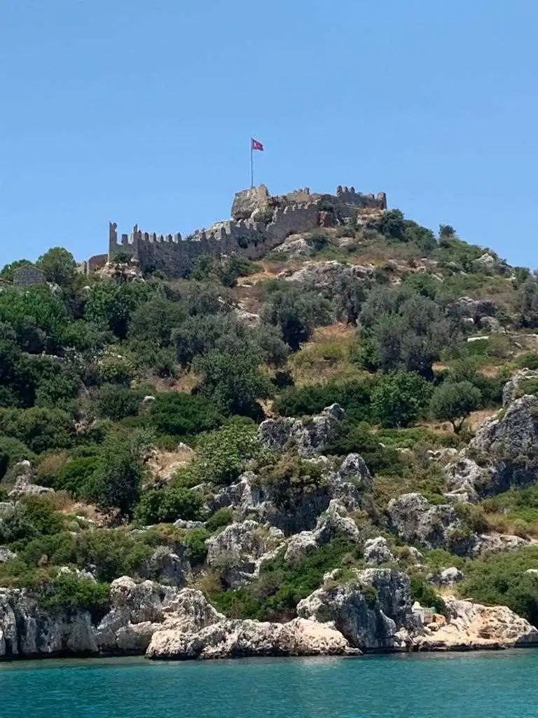
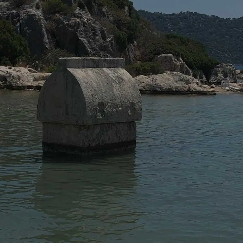
Ancient Simena, now known as Kaleköy, is a small Lycian coastal town and a strategic point that has been inhabited from the 4th century BC to the present day. The most vivid reflection of this feature is the castle that has remained intact until today, from where it is possible to observe the most excellent views of Kekova and its surroundings. Simena is one of the rare settlements in Turkey that can only be reached by sea. The ancient city of Simena, which is located within the Kekova Special Environmental Protection Area, which covers an area of 260 square kilometers, is registered as a first class archaeological site.
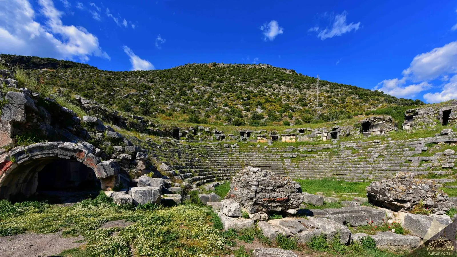
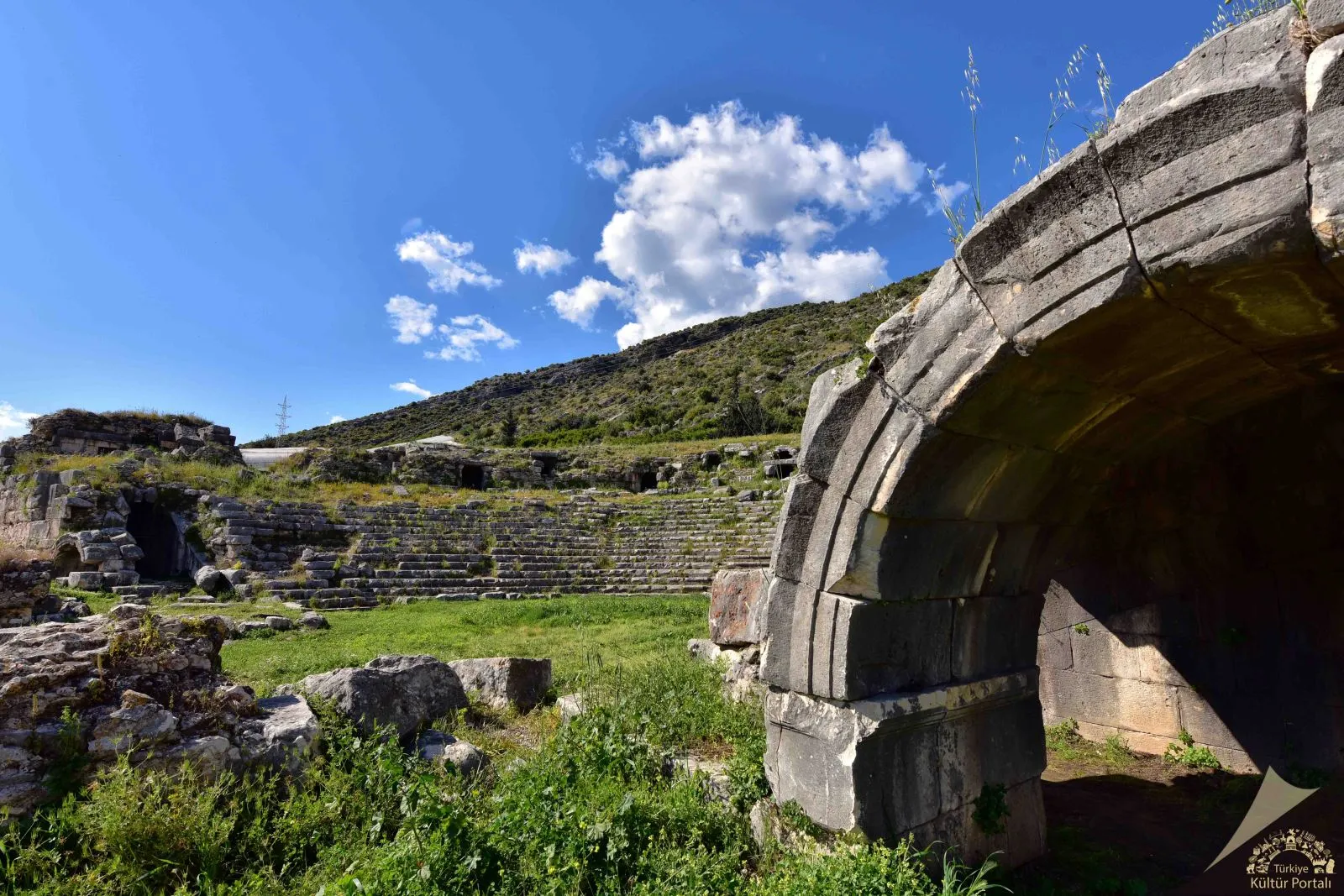
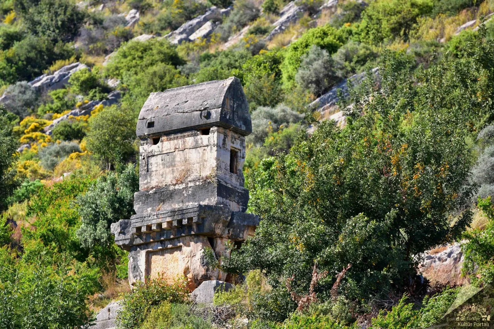
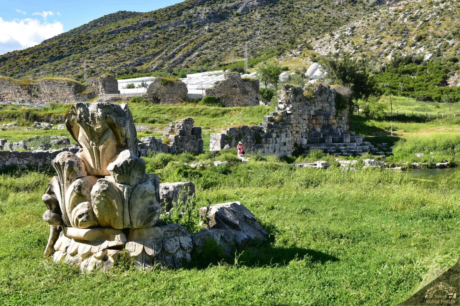
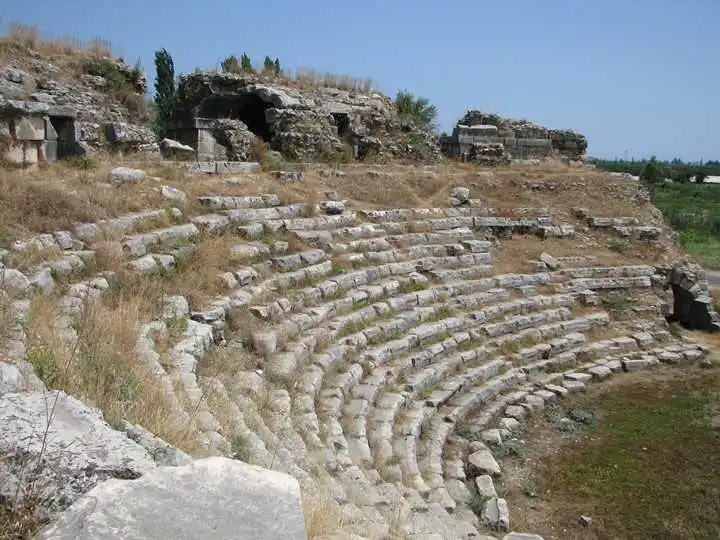
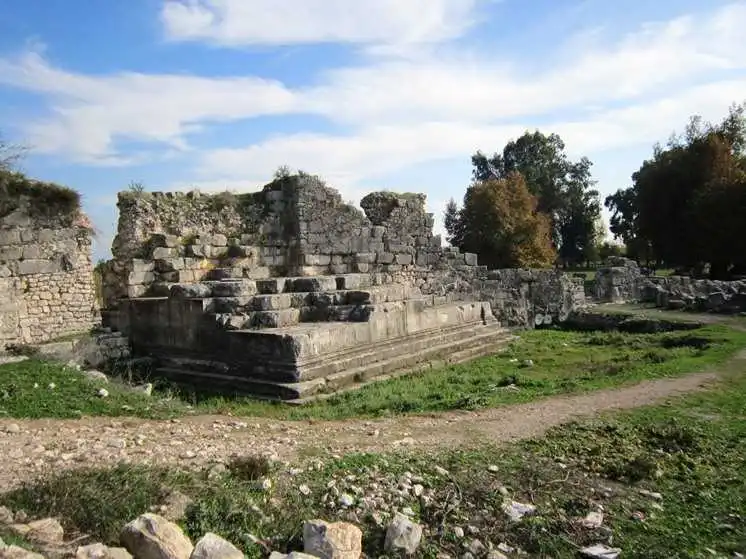
Limyra Ancient City, located on the borders of Turunçova and Sahilkent Towns in Finike District of Antalya Province, covers the area on the southern slopes of Toçak Mountain, consisting of an acropolis consisting mostly of early buildings and the area immediately south of it, which is now separated by a highway, within the Roman and Byzantine Age walls. The name of Limyra is mentioned as "Zemuri" in Lycian inscriptions. This proves that the city was inhabited at least since the 5th century BC. The most active period of the city was in the first half of the 4th century BC when Limyra became the capital of Lycia during the reign of Lycian King Pericle. It is understood from the historical records of the region that during the years when Perikle tried to establish the Lycian Union and expand his sovereignty, Persian sovereignty was in question, but this sovereignty remained only in words and Limyra, like other cities, remained in great freedom.

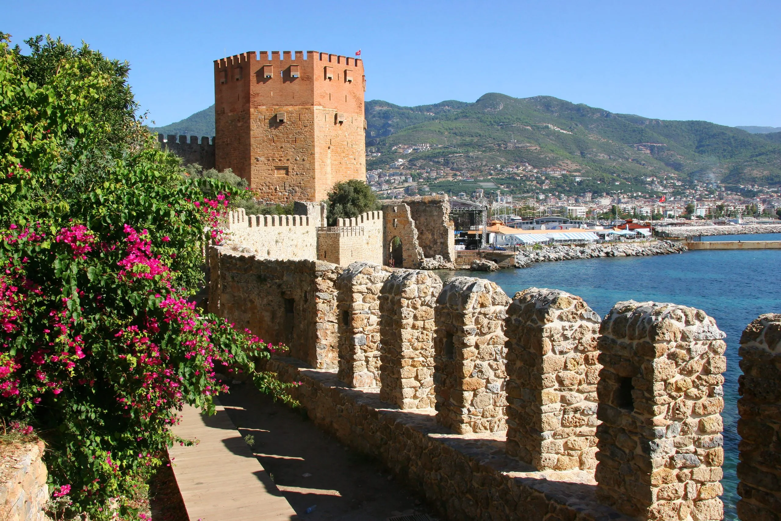
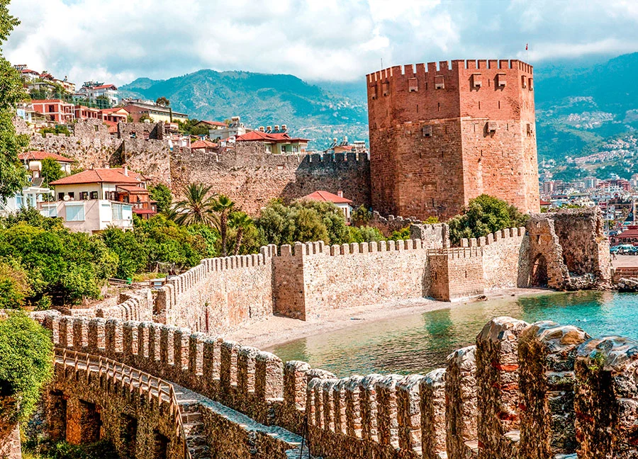
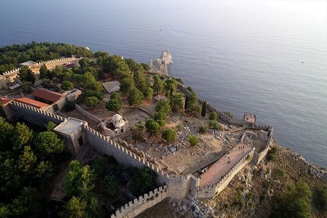
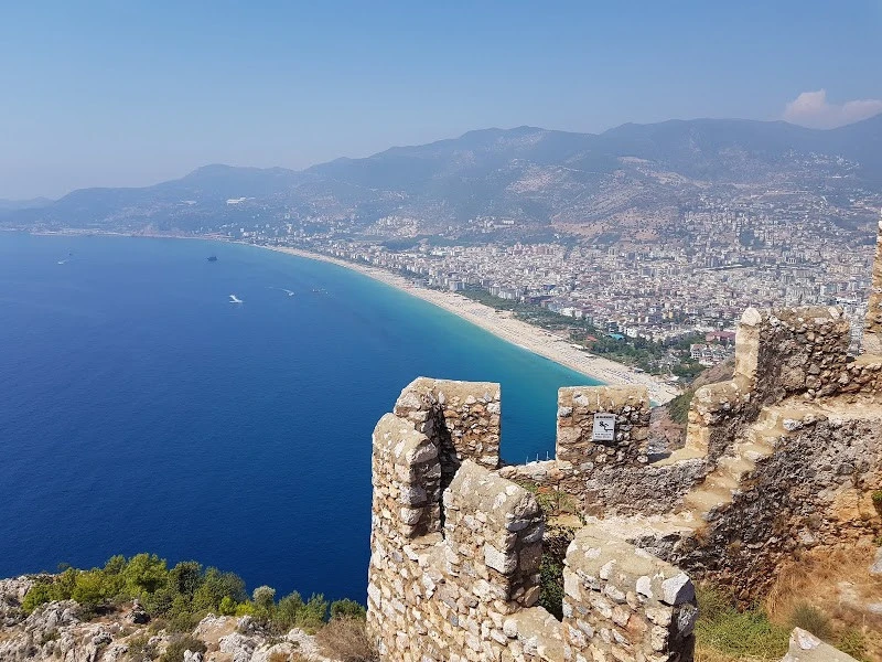
Alanya Castle, which has been uninterruptedly inhabited throughout its history due to its difficult accessibility by sea and land and its natural protection, is one of the best preserved and best maintained of the hundreds of castles that adorn Anatolia. With its 6.5 kilometers of walls, it is like a shining jewel on the neck of the historic peninsula where it is located. Although the first settlement dates back to the Hellenistic period, it was during the Anatolian Seljuk period that it took the form of a monumental castle in all its glory.
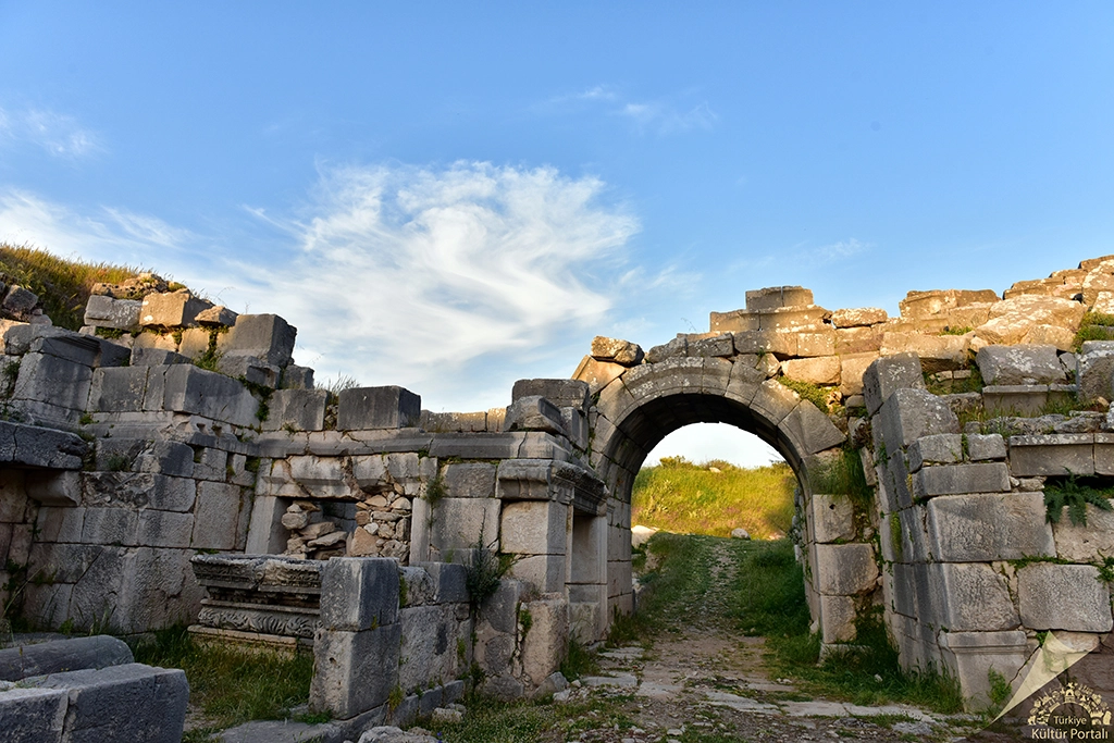
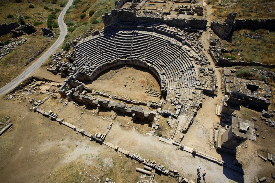
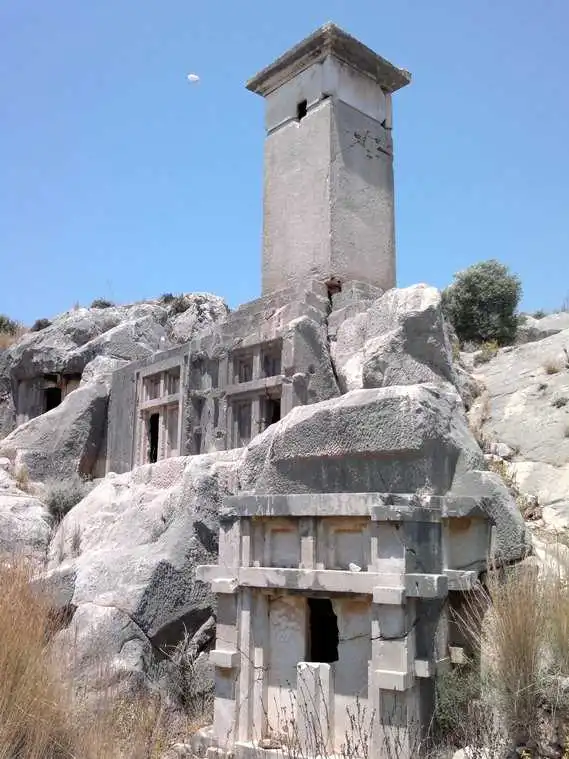
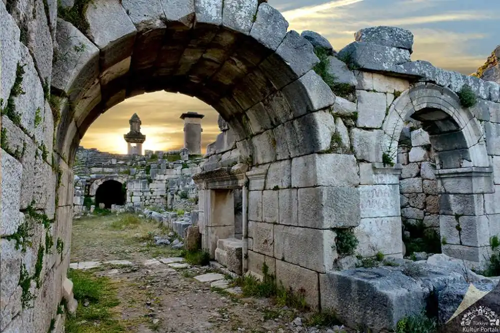
Located in the town of Kınık on the Fethiye-Kaş highway, 46 kilometers from Fethiye, the city was built on two hills overlooking the plain on the banks of the Xanthos River (Eşen Stream). The first of these is the walled Lycian Acropolis rising as a steep cliff from the edge of the Eşen Stream, and the second is the higher and wider Roman Acropolis to the north. The name of Xanthos, which is described as the administrative center of the Lycian Union, is mentioned as ARNNA in the inscriptions written in Lycian language. Homer tells that the Xanthosians under Sarpedon participated in the Trojan wars. However, the finds from the excavations do not allow us to date the settlement of the city before the 8th century BC.
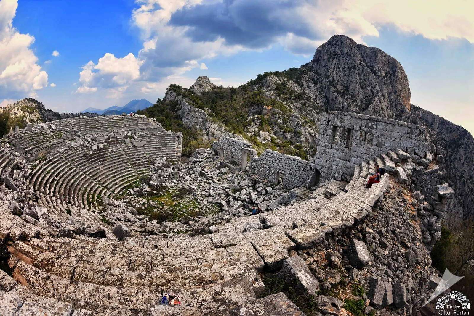
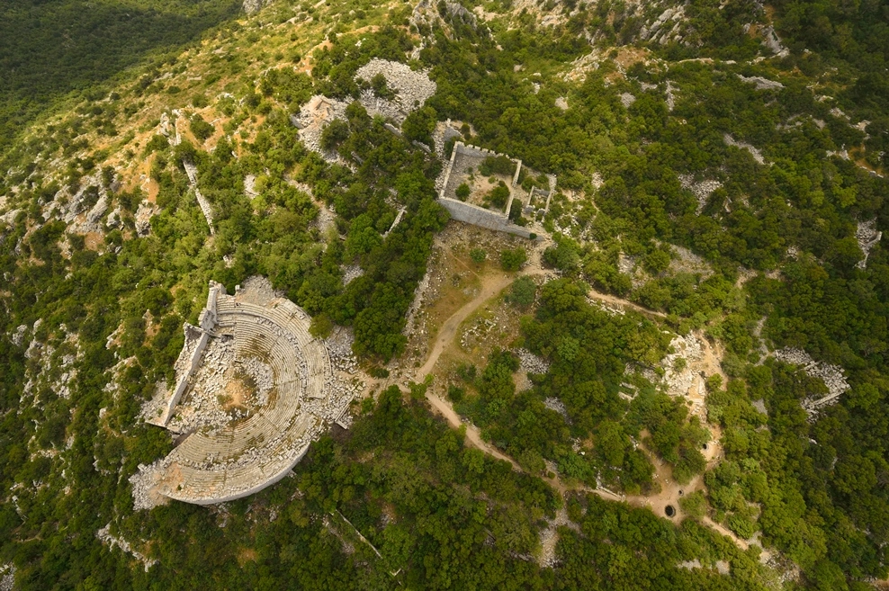
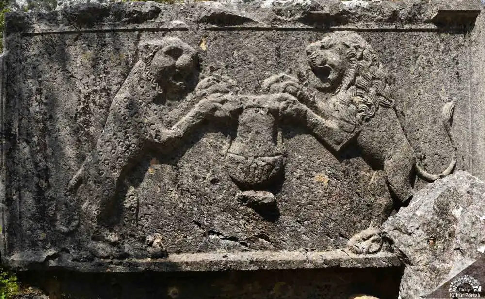
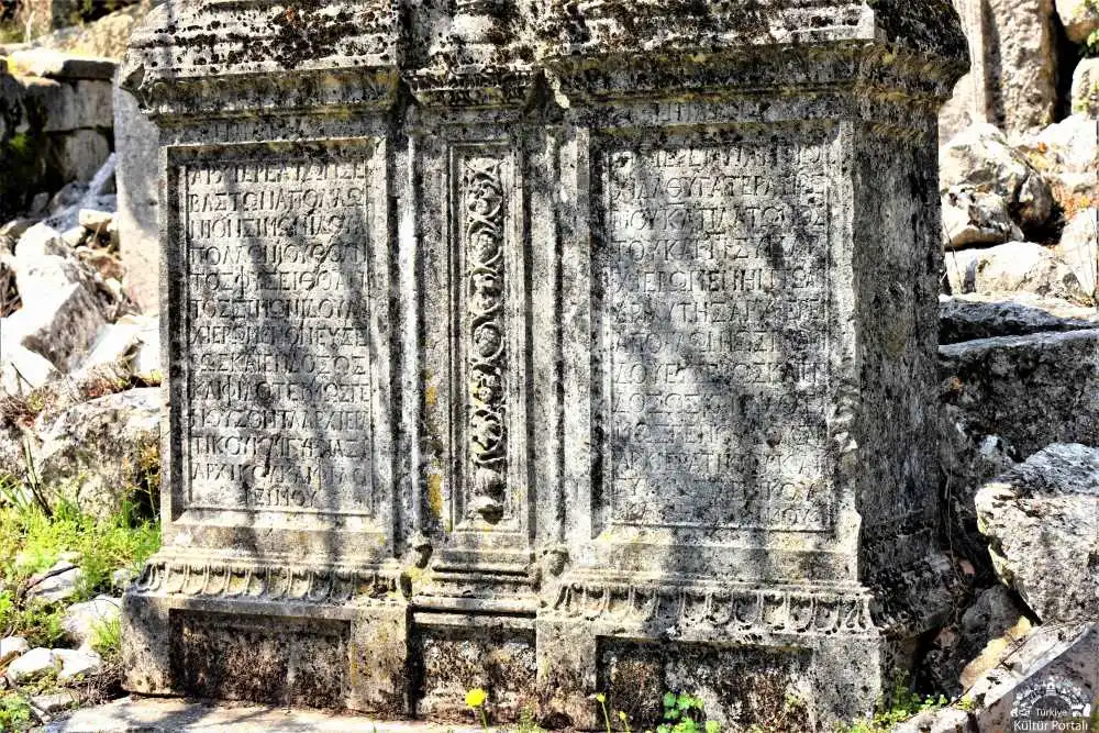
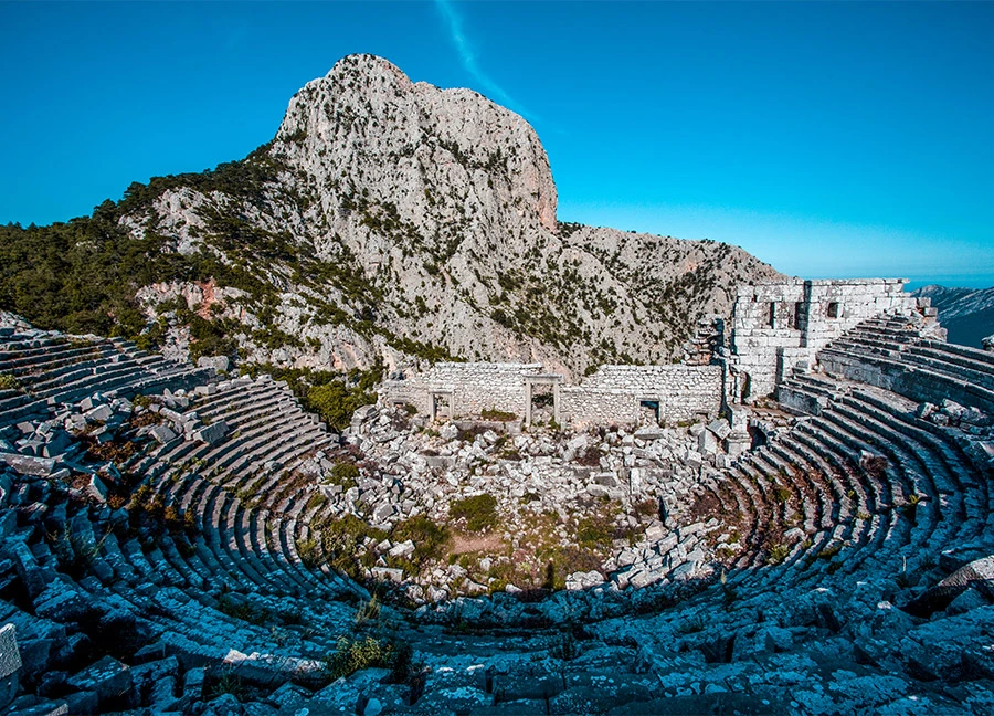
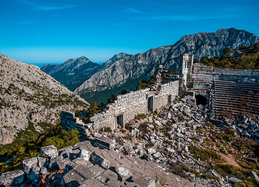
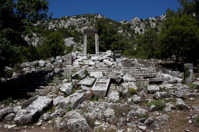
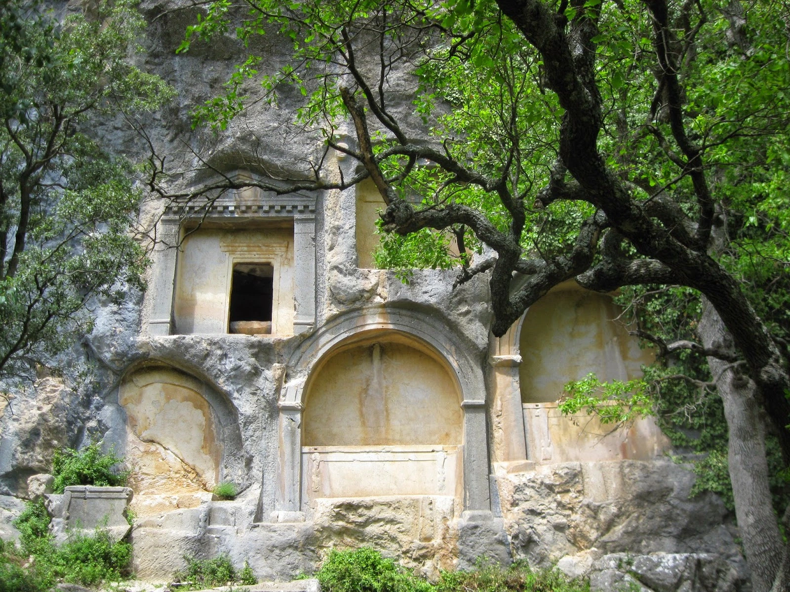
Termessos is an important ancient city founded by the Solyms, descendants of the Luwians, one of the oldest peoples of Anatolia, in the valley between the peaks of Mount Solymos, which today bears the name "Güllük". In the pages of history; Alexander the Great besieged the city in 333 BC and the Termessians did not surrender the city by making a strong defense.
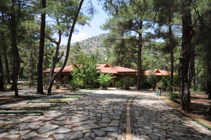
The ancient city is one of the most striking of the ruins protected in the forest and is located in the national park of the same name. The Gulluk Mountain (Termessos) National Park is a botanical and open zoo with rich vegetation and wildlife, including endangered species.
The ruins of the city start from the Hellenistic city wall near Yenicekahve on the Antalya-Korkuteli highway and continue to the top of Güllük Mountain. If you follow the road up to the city after the parking lot, you will see the steps and the monumental entrance of the Ionian Temple built during the reign of Emperor Hadrian on the right. Climbing further to the south, in the area of the lower city walls and the water bay, you will come to the gymnasium on the left, the first floor of which is partially preserved. To the southwest of the building, which consists of many rooms and halls, is a colonnaded street with shops behind it. In addition to the canals, which show the perfection of the sewage system, important structures of the period such as the theater, the baths, the agora, the assembly building, many tombs, many cisterns, the founder's house, the temple can still be seen.
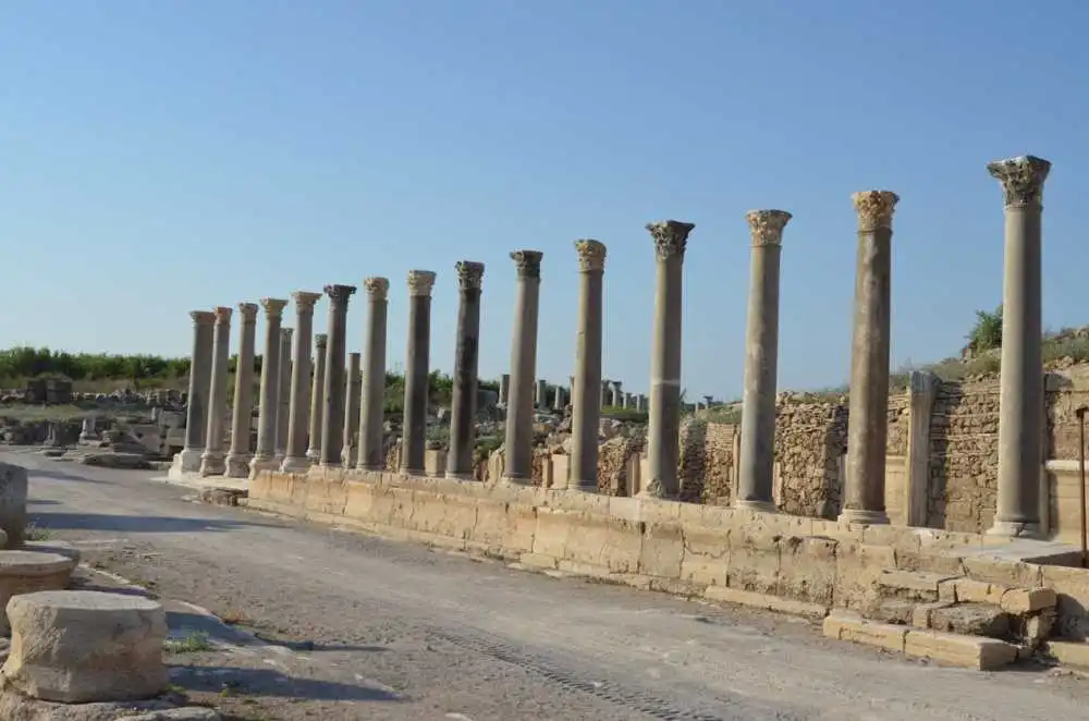
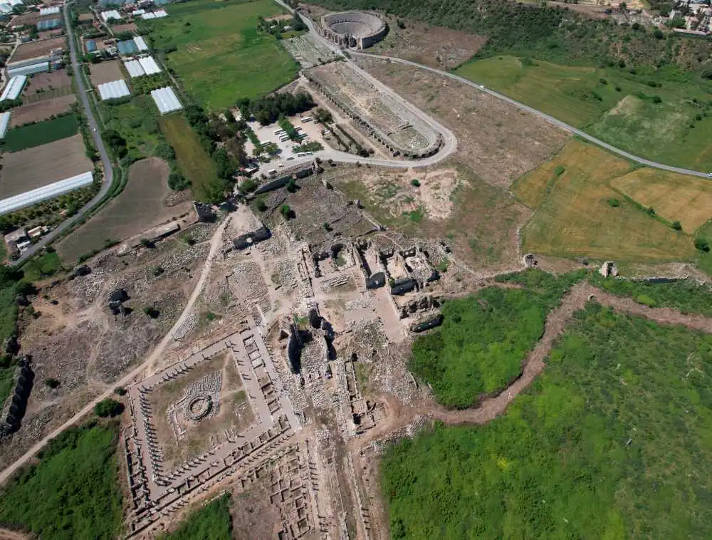
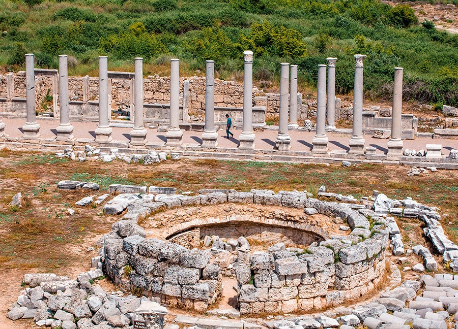
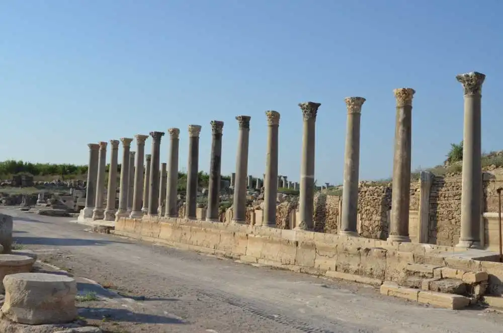
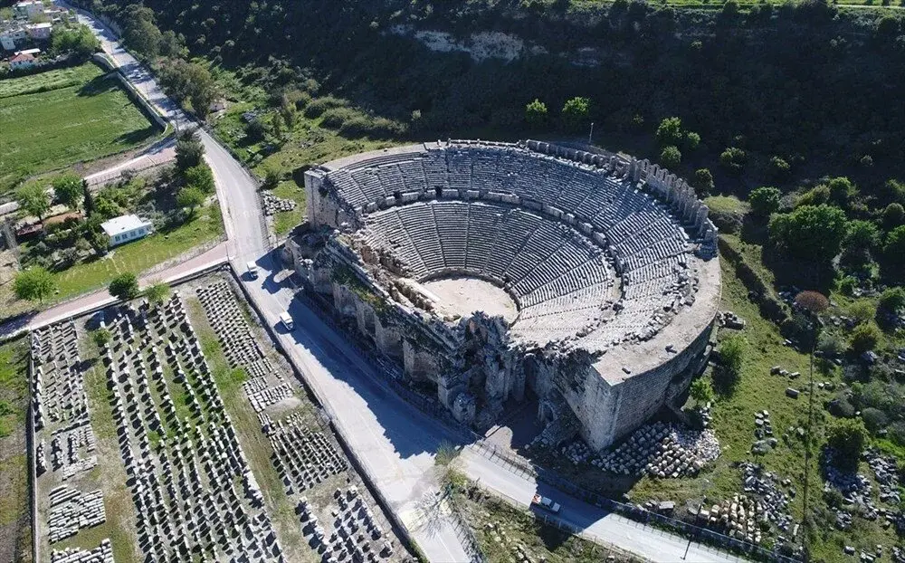
Perge Ancient City is located in Aksu district, 17 kilometers east of Antalya city center. The city, which is thought to have existed during the Hittite Period and known as "Parha", became one of the most organized cities of Anatolia during the Roman Period. The sculptures unearthed during excavations in the ancient city, famous for its architecture and marble sculpture, have made the Antalya Museum one of the most important sculpture museums.
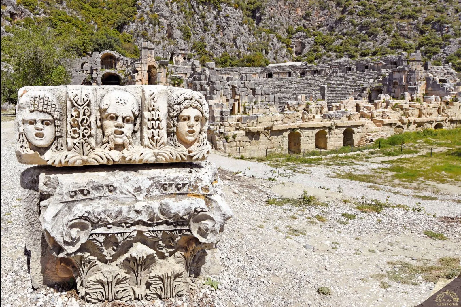
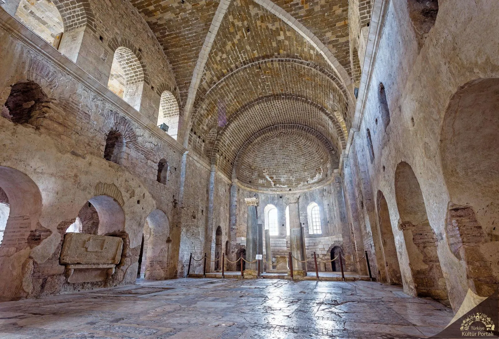
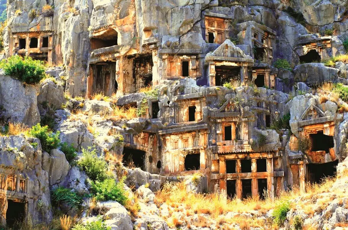
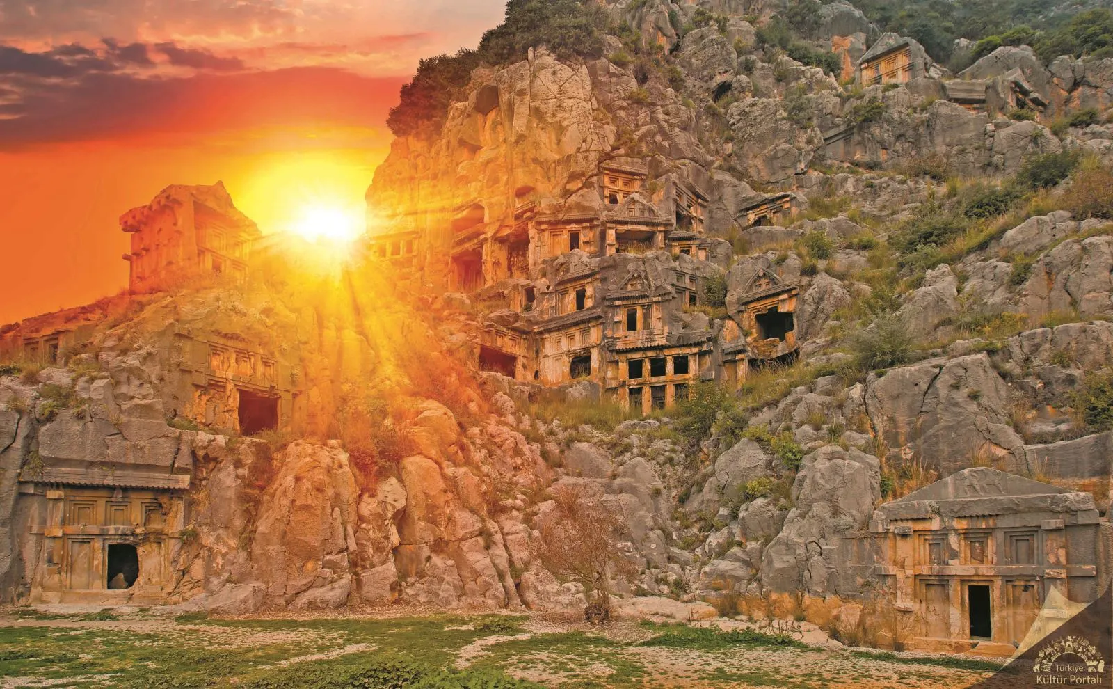
The ancient city of Myra, located in and around today's Demre district center, was founded on the plain of the same name. The city's connection with the sea was provided by the transportation channel (Demre Stream) to the west of the Myros River. The maritime transportation and trade of the region was carried out from Andriake (Çayağzı) Harbor on the other side of the canal. The ancient city of Myra is especially famous for its Lycian rock tombs, Roman theater and Byzantine St. Nicholas Church (Santa Claus).
Rock tombs, Lycian
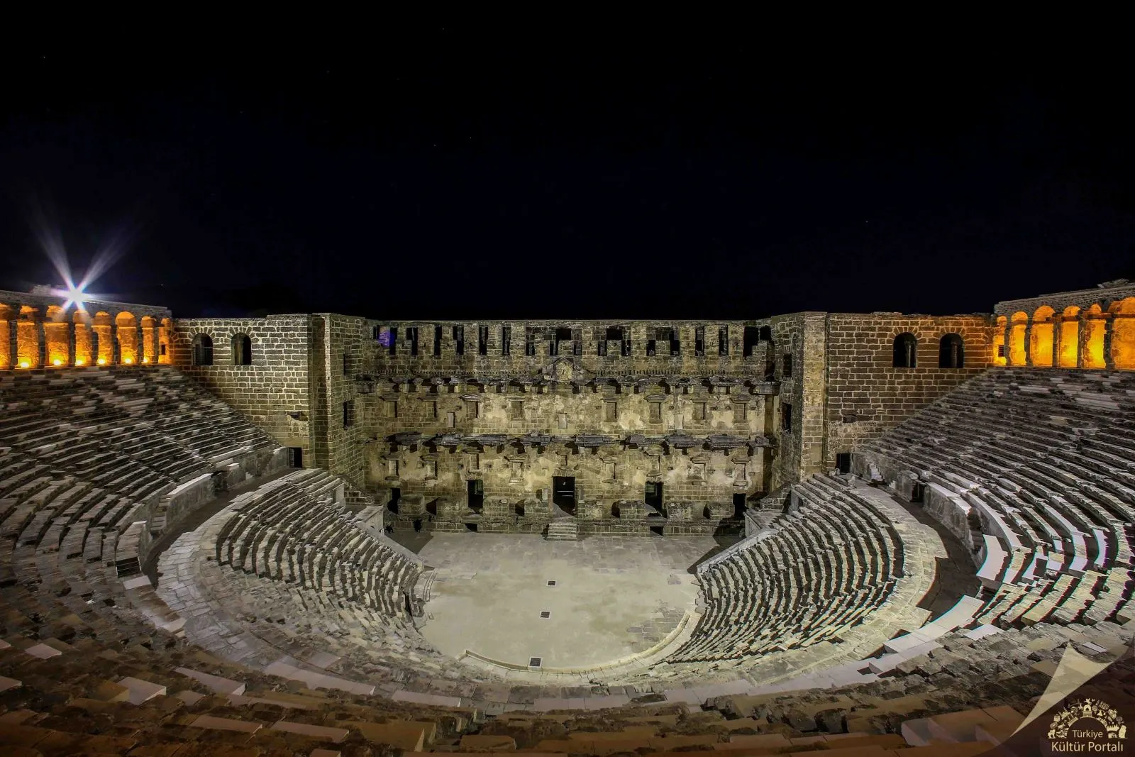
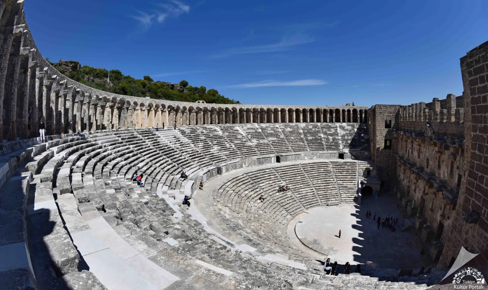
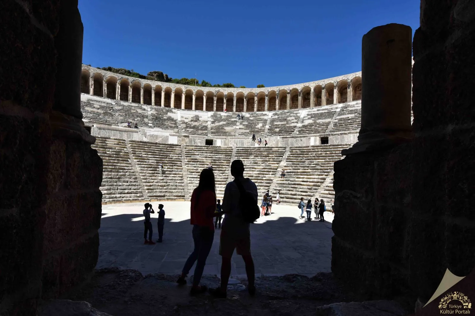
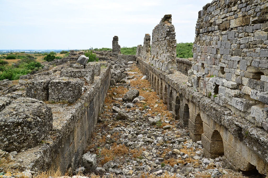
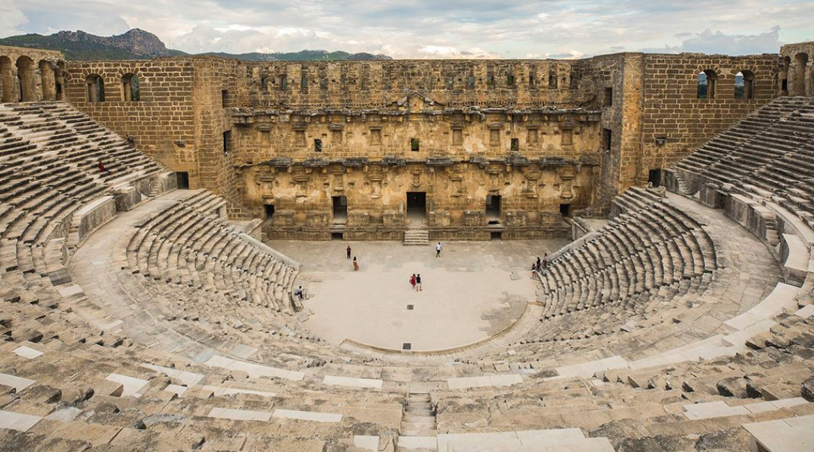
Located on the 2nd kilometer of the road turning north from the 44th kilometer of the Antalya - Alanya highway, Aspendos is famous for having the best preserved Roman theater not only in Anatolia but in the whole Mediterranean world. The city was founded on a hill plain near Köprüçay (Ancient Eurymedon), one of the largest rivers in the region. Aspendos owed its access to the Mediterranean Sea and its development to the nearby river and thus to the fertile land around it. Today, the theater and the waterways are mostly visited. The remains of other buildings of the city are located on the plain of the hill where the theater was located.
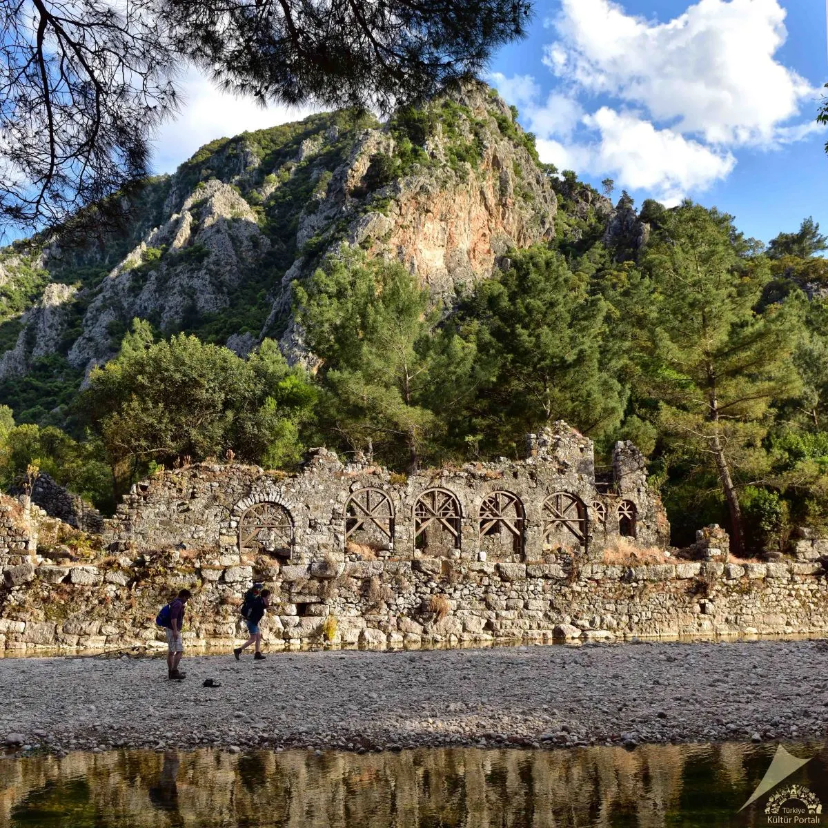
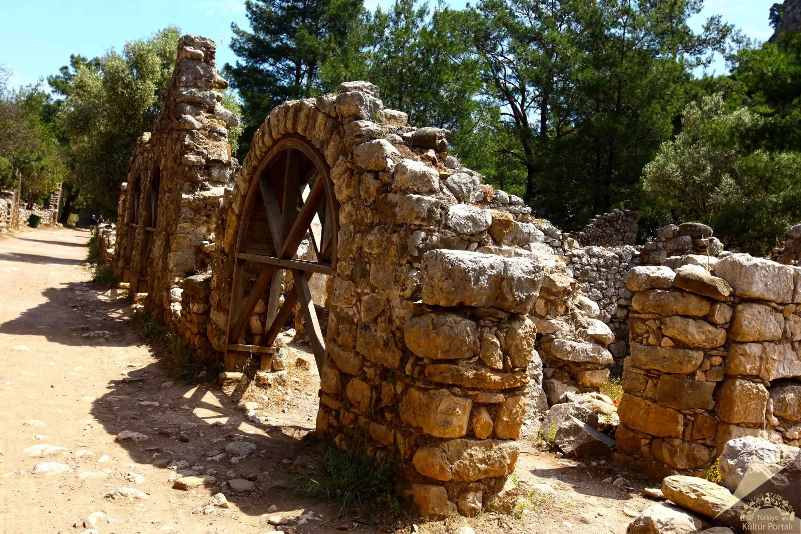
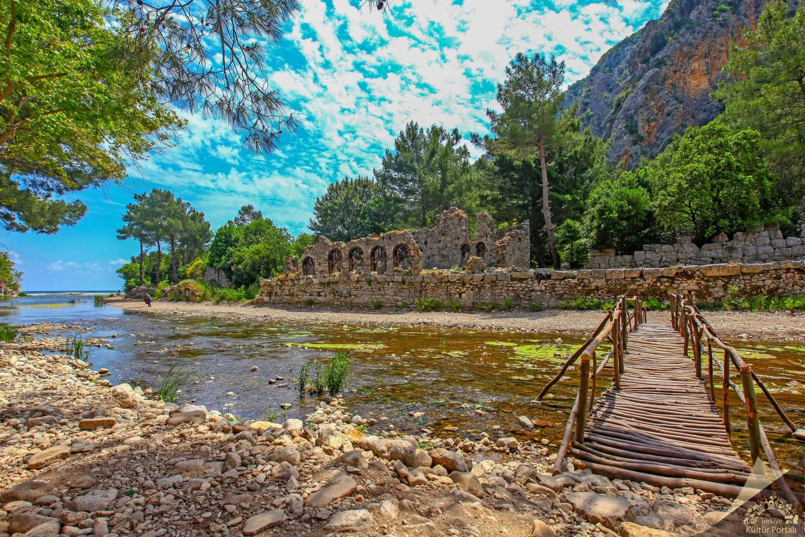
Olympos is the second most important port city after Phaselis on the southern coast of Antalya. The city takes its name from the 2,375 meter high Mount Tahtalı, one of the western extensions of the Taurus Mountains, 16 kilometers north of the city. It is within the Beydağları-Olympos National Park. Although the exact date of its foundation is unknown, Olympos, mentioned in the coins of the Lycian League minted in 167-168 BC, is one of the six cities with three voting rights in the Lycian League.
Together they represented the birth of Lycia. Most of the ruins of the city that have survived to the present day are covered with trees and bushes in the forest and belong to the Hellenistic, Roman and Byzantine periods. The surviving ruins of Olympus are generally located at the mouth and on both sides of a river that flows rapidly from east to west towards the sea. In the ancient period, the river bed dividing the city into two parts was enclosed in a canal and both sides were connected by a bridge using it as a pier. Today, one leg of the bridge is still standing.
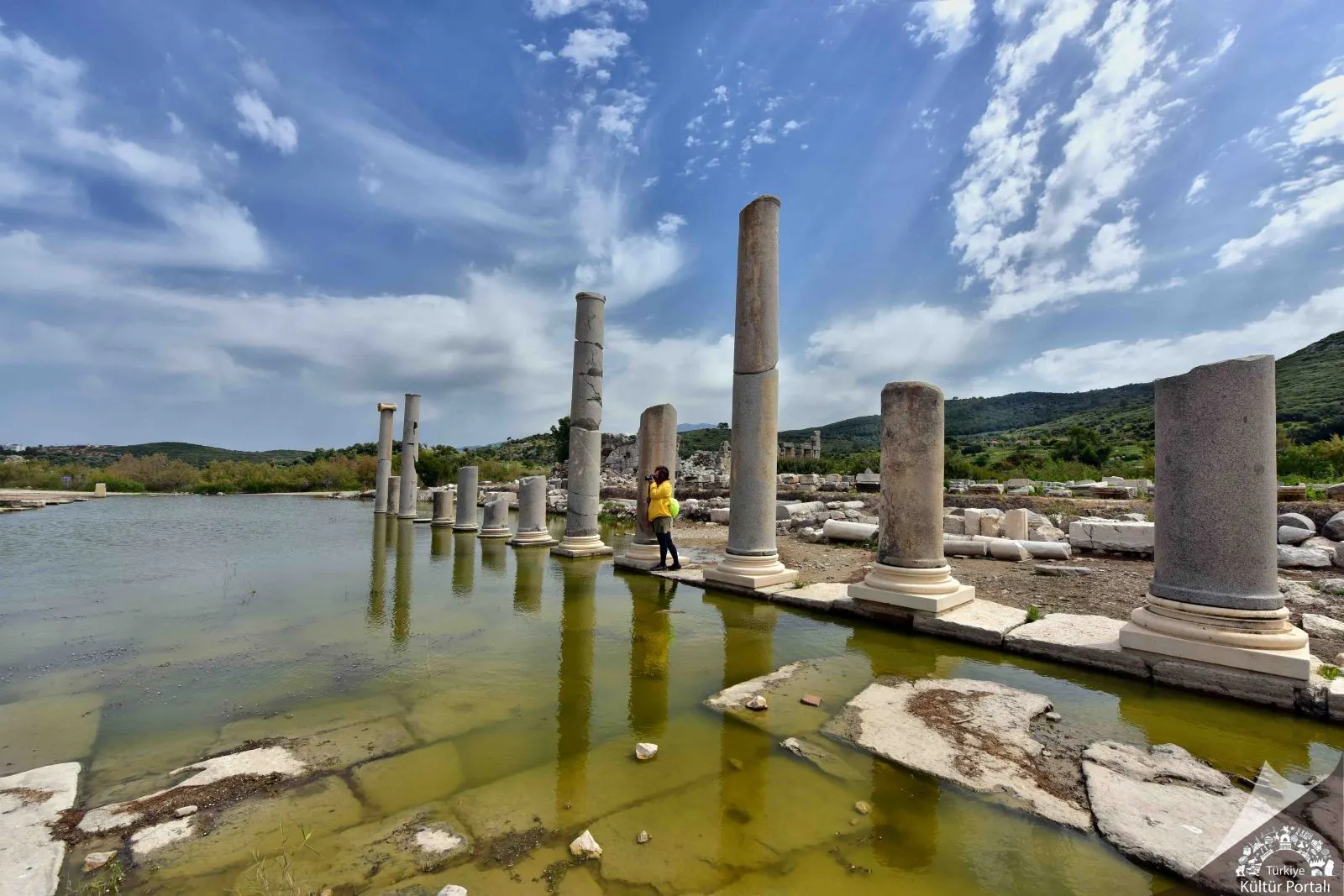
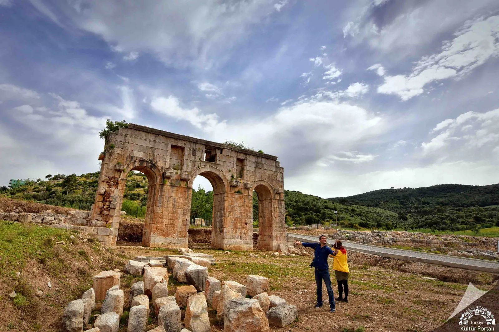
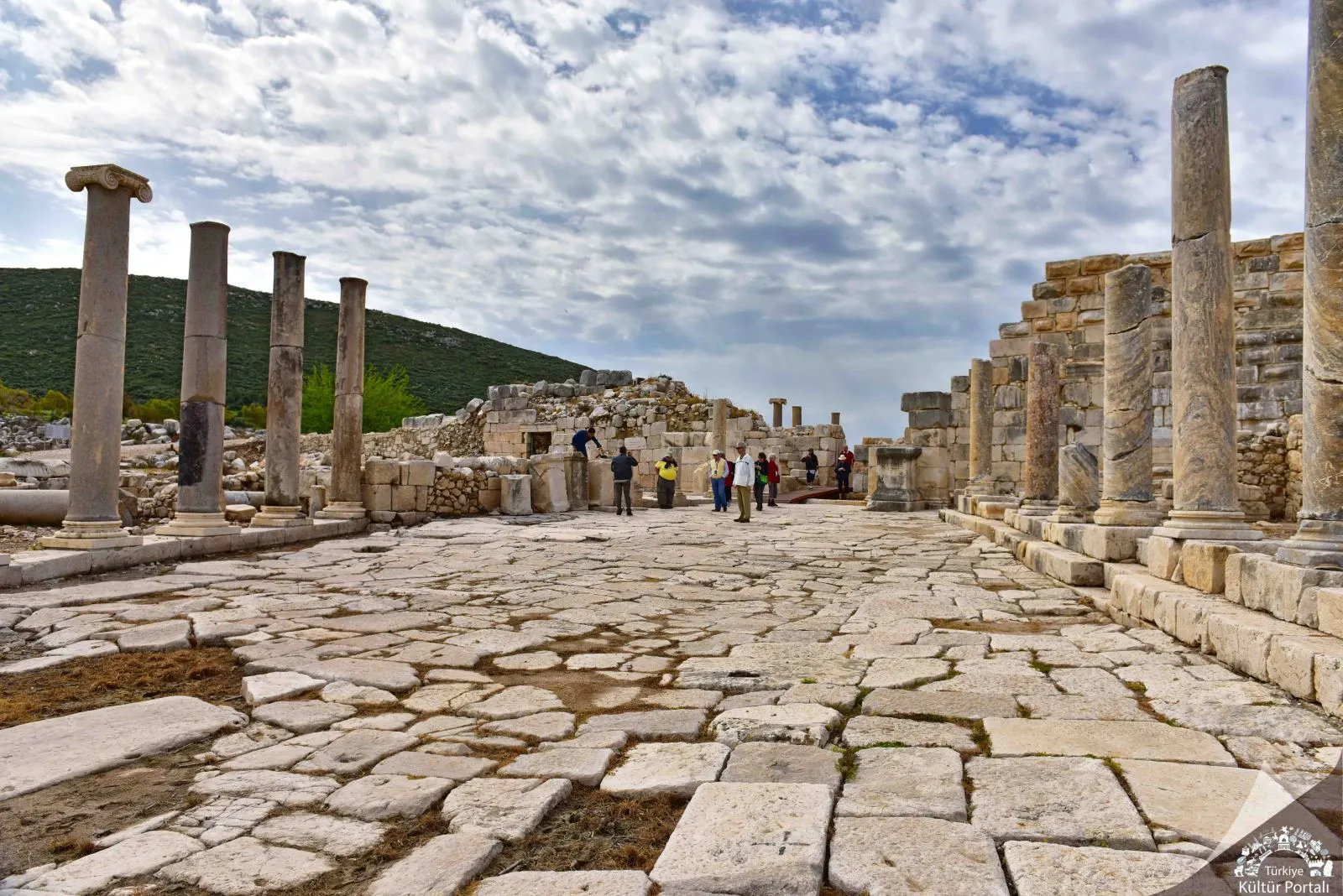
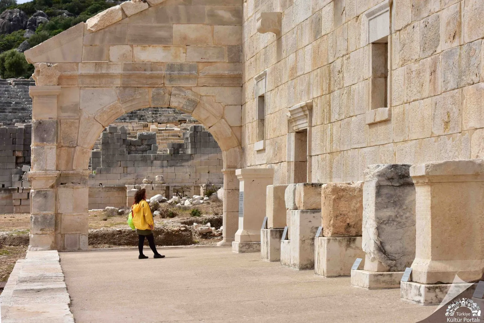
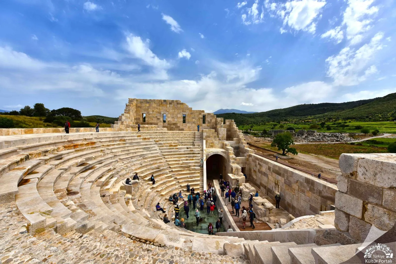
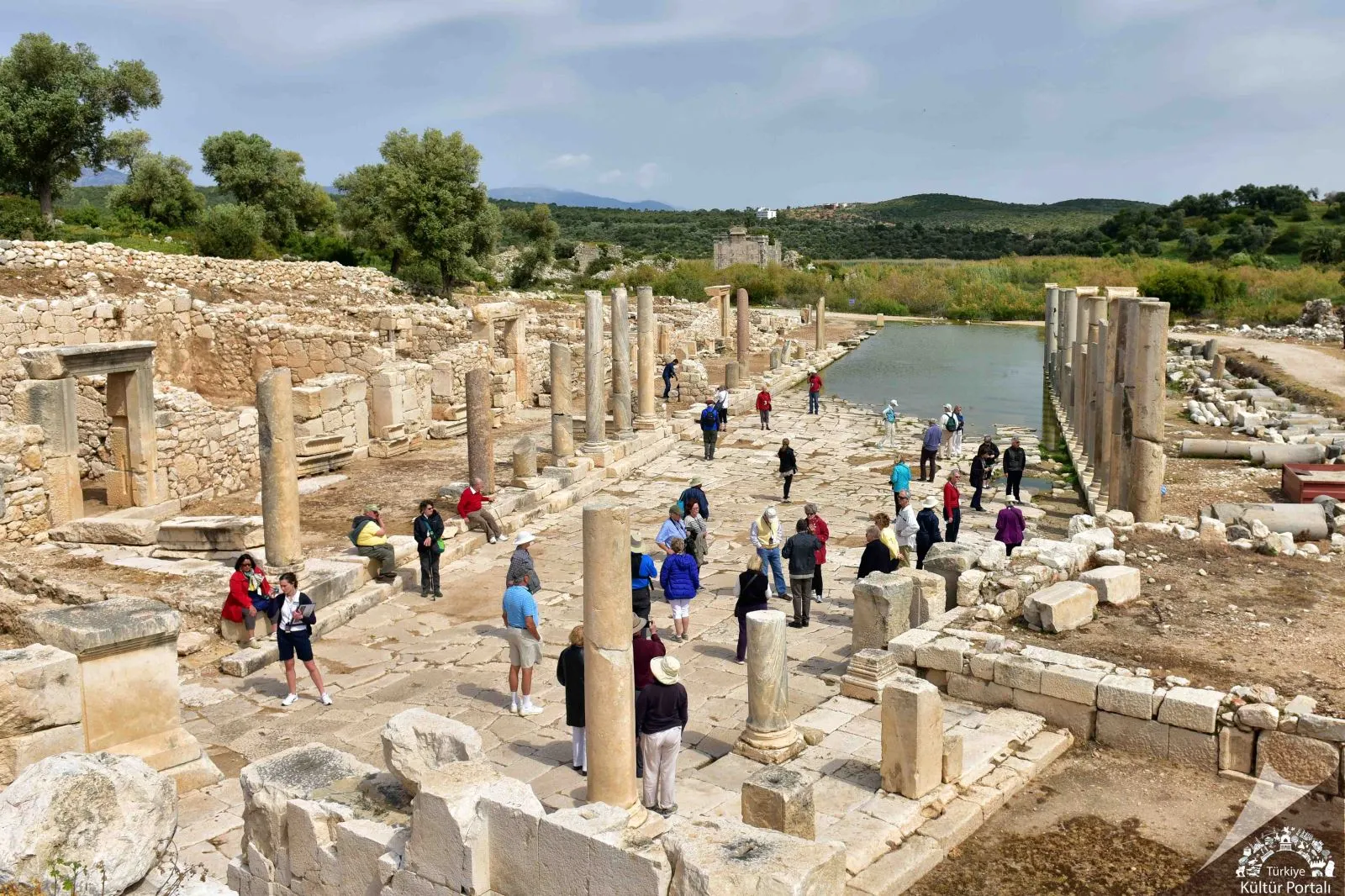
Located at the southwestern end of the Xanthos Valley between Fethiye and Kalkan, in today's Gelemiş Village, the ancient city of Patara is one of the most important and oldest cities of Lycia. Excavated since 1988, Patara Ancient City has a special importance not only for its archaeological and historical values, but also for being one of the rare beaches where Caretta-Caretta, the Mediterranean turtles, lay their eggs and breed for millions of years.
History of Patara Ancient City
In Hittite texts from the 13th century BC, the name of the city is mentioned as Patar. While the ceramic sherds found in the Acropolis of Tepecik contain Middle Bronze Age features, the stone axe belonging to the pre-Iron Age, which was unearthed on the skirts of the eastern slope of Tepecik, shows how far back the history of Patara goes. Patara, which has continued to be an important city throughout history as it is the only place in the Xanthos Valley that can open to the sea, is called Patara in Lycian language in inscriptions and coins.
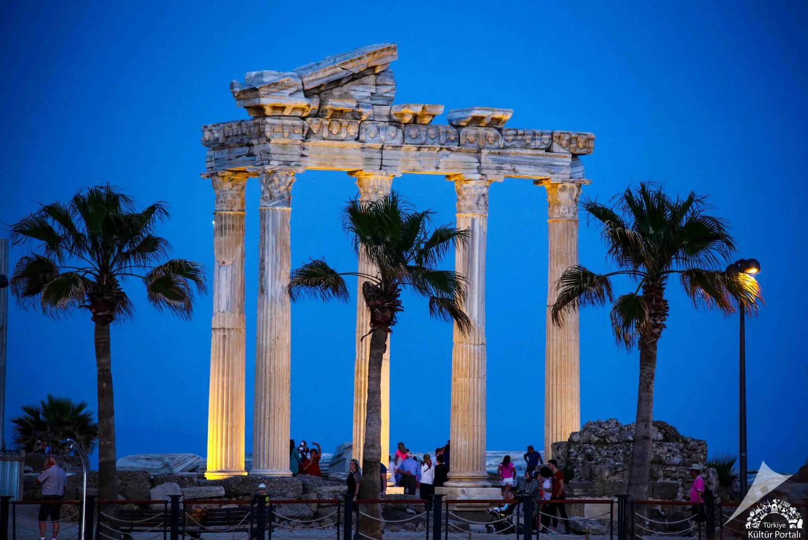
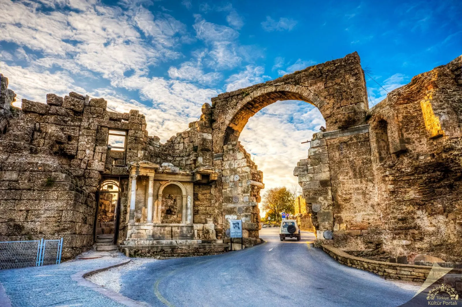
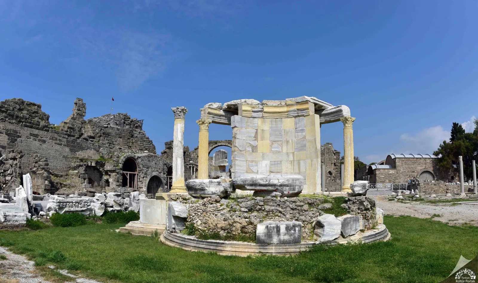
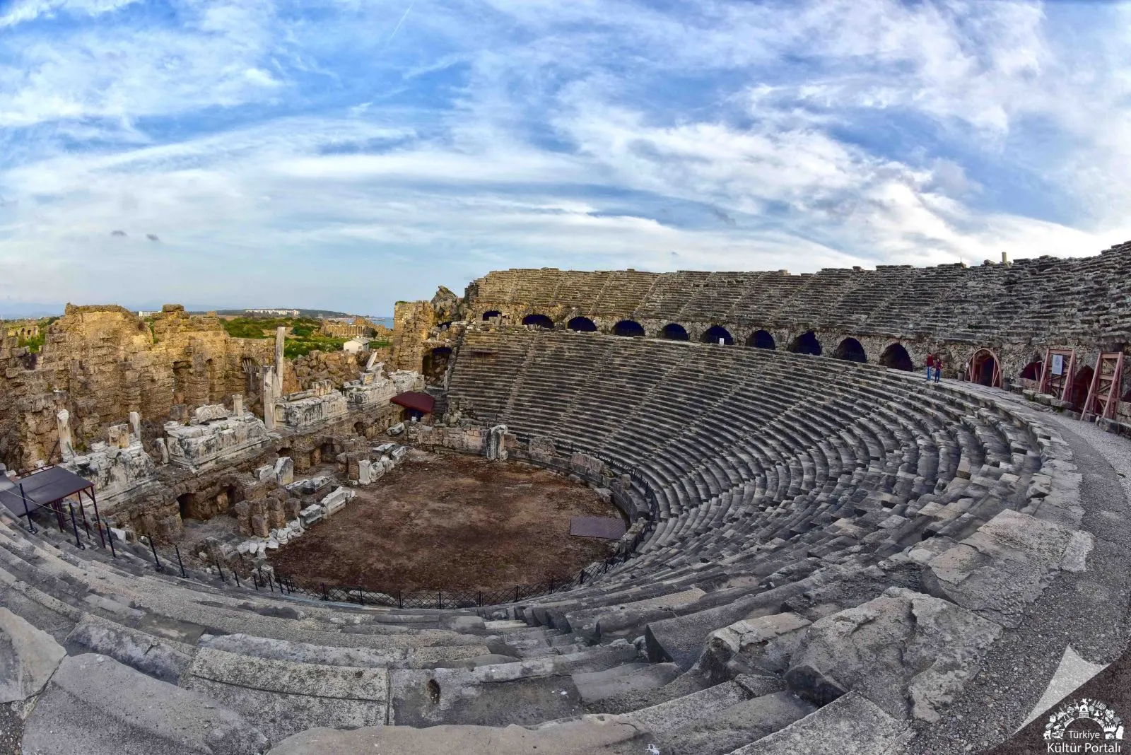
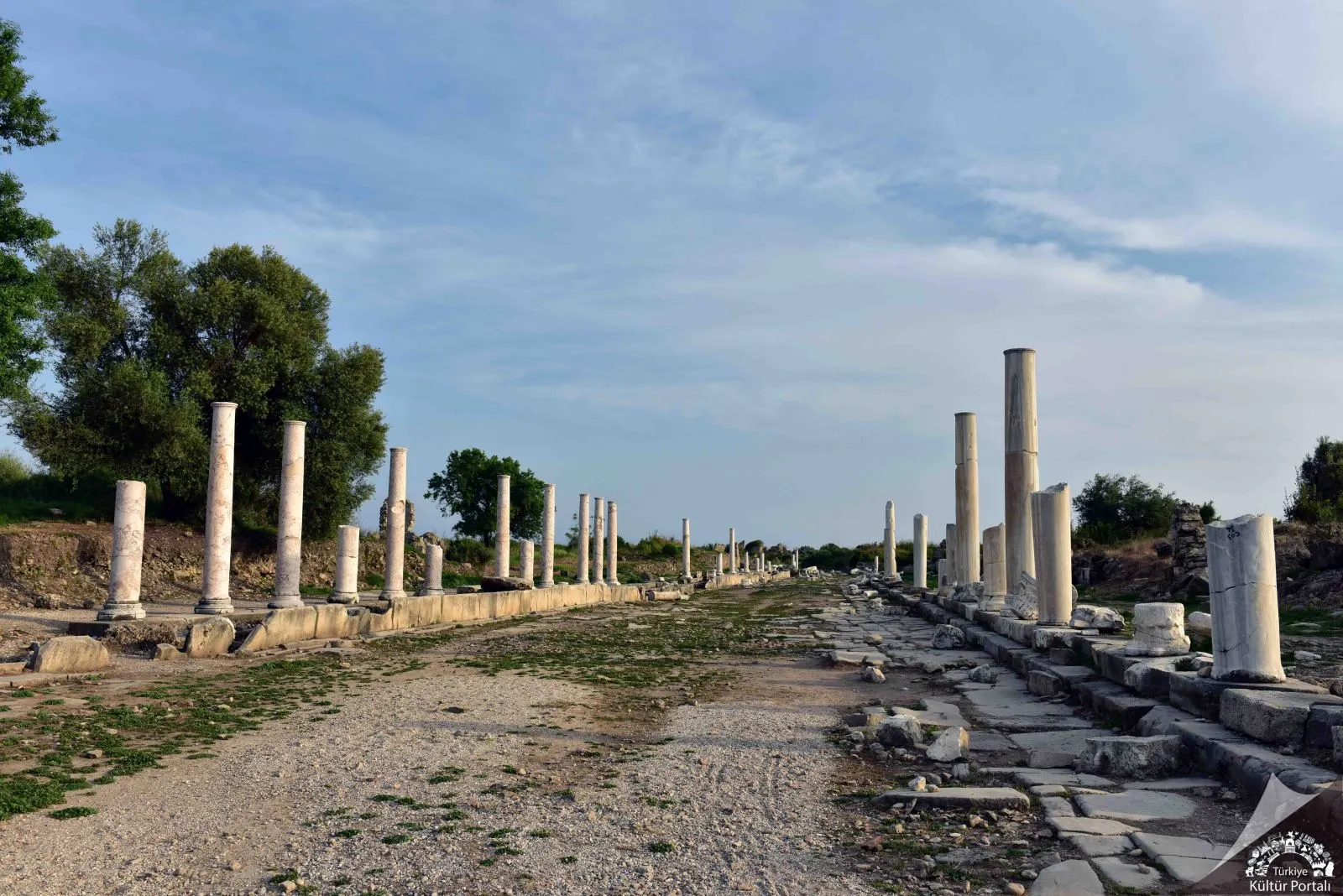
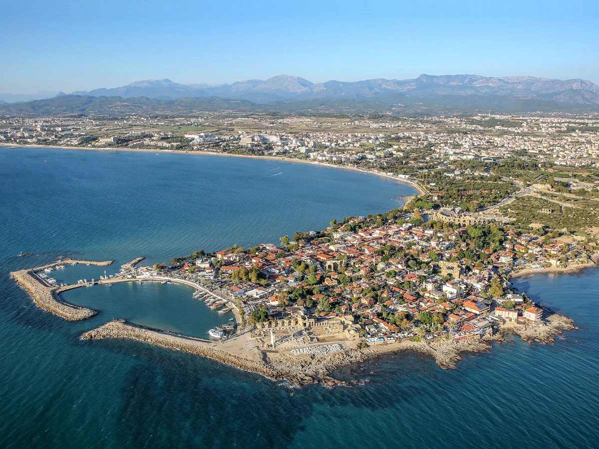
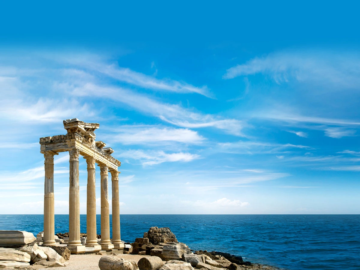
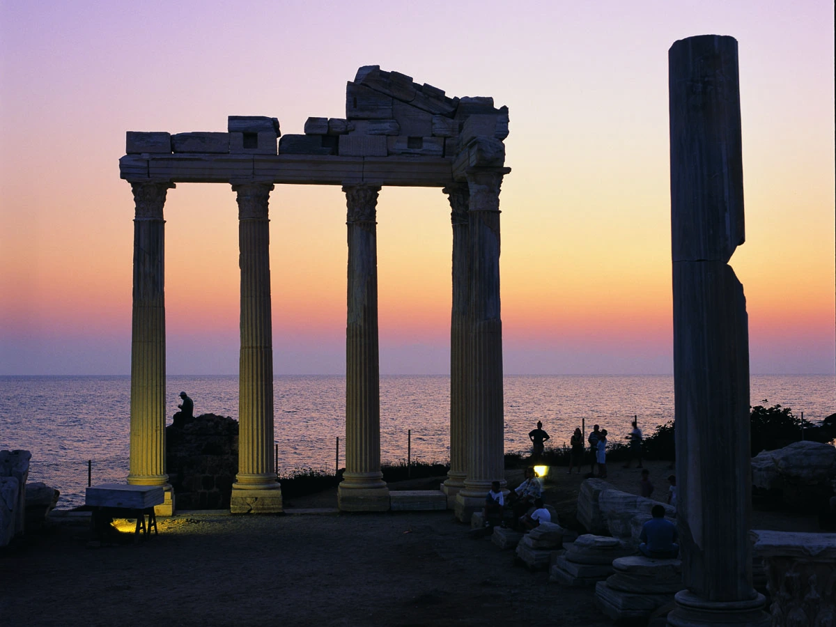
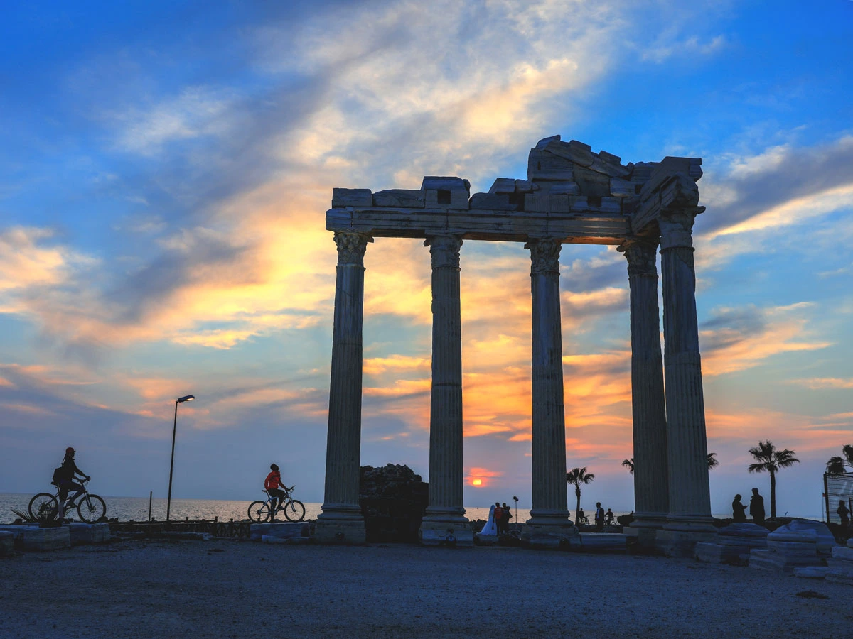
Side, the most important port city of Pamphylia in ancient times, was built on a 350-400 meter wide peninsula located 80 kilometers east of Antalya and 7 kilometers southwest of Manavgat.
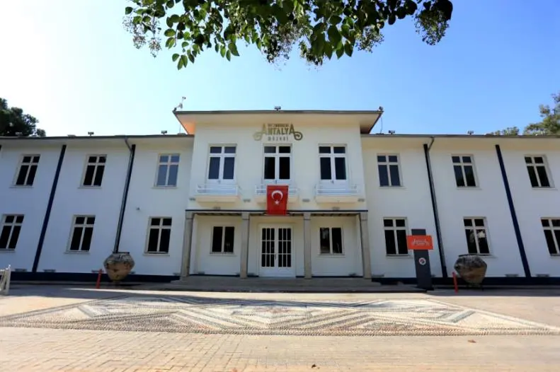
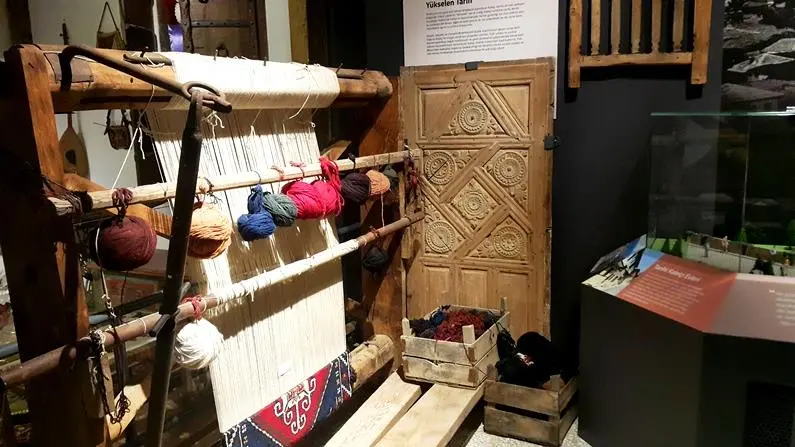
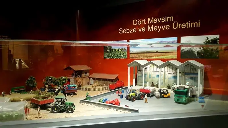

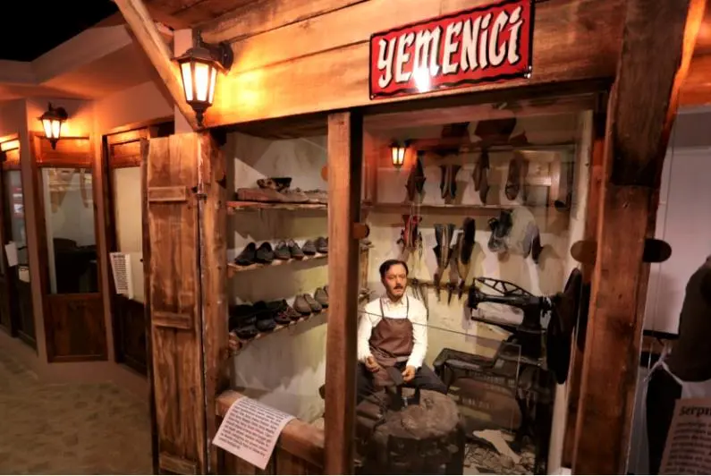
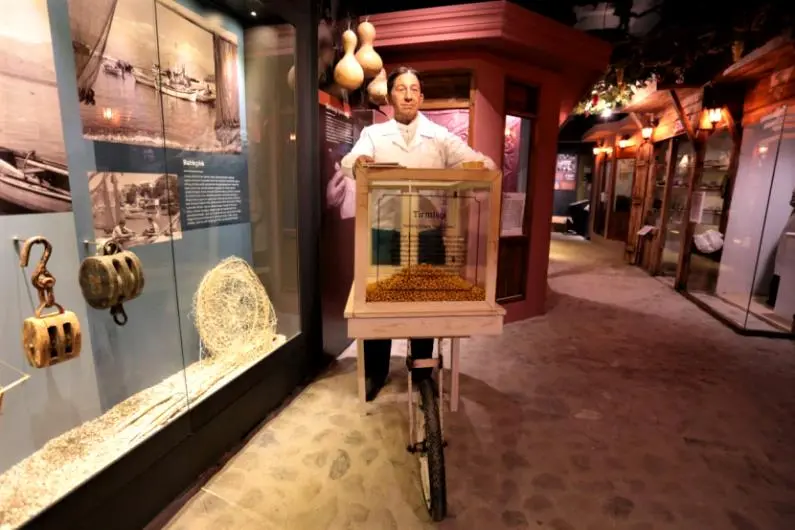
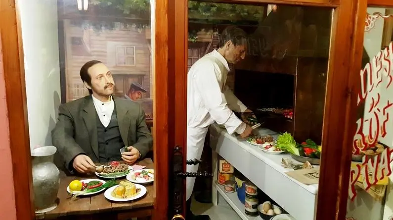

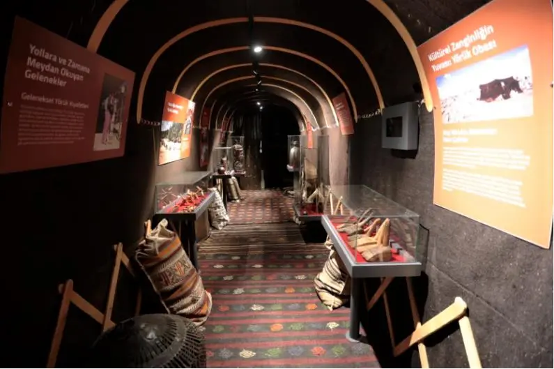
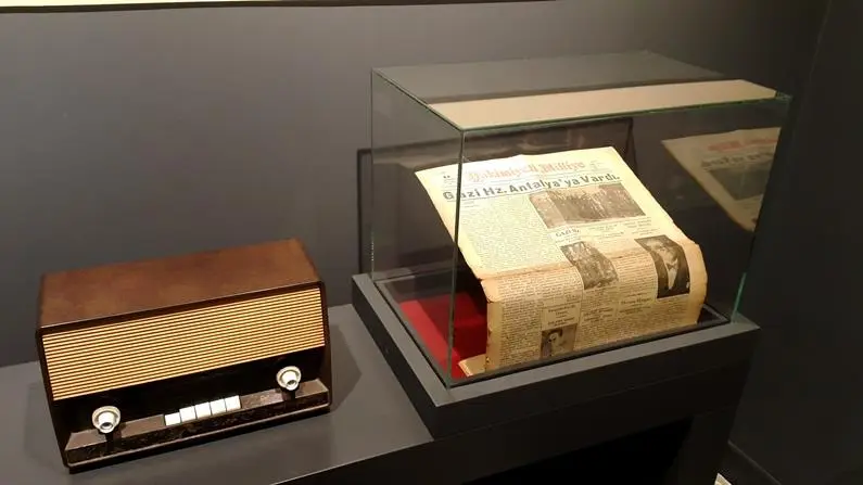
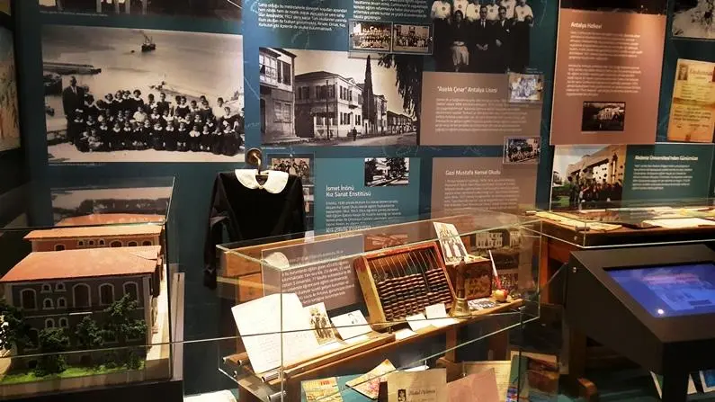

Antalya's great historical journey from its foundation to the present day comes to life in the Once Upon a Time Antalya Museum opened in Dokuma Park, the heart of Kepez. The city museum, which was opened by the Kepez Municipality in the administration building of the old Dokuma factory, shows the values that are specific to Antalya and Antalians from the past to the present by going beyond the usual museum form.
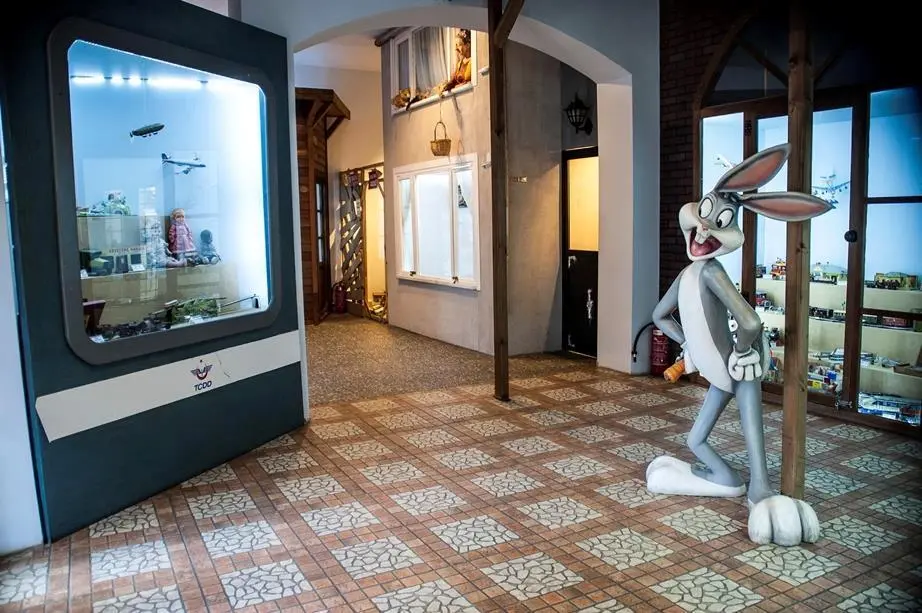
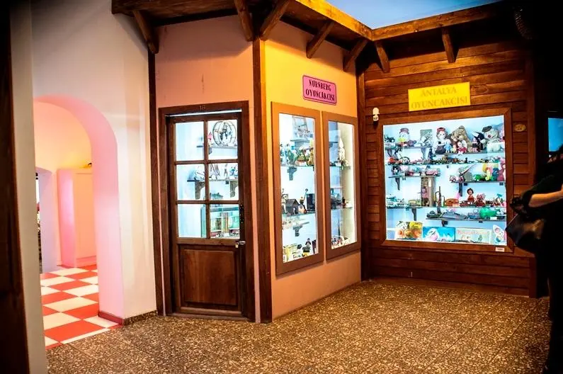


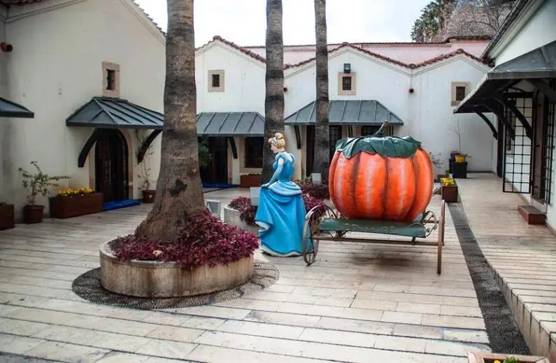
Antalya Toy Museum, located in Kaleiçi Marina, was launched in 2011 as an important cultural project of Antalya Metropolitan Municipality. Opened under the leadership of Sunay Akın, researcher, poet, writer and founder of Turkey's first toy museum, the museum attracts visitors of all ages with its fairy tale world.
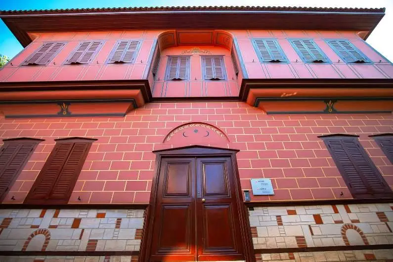
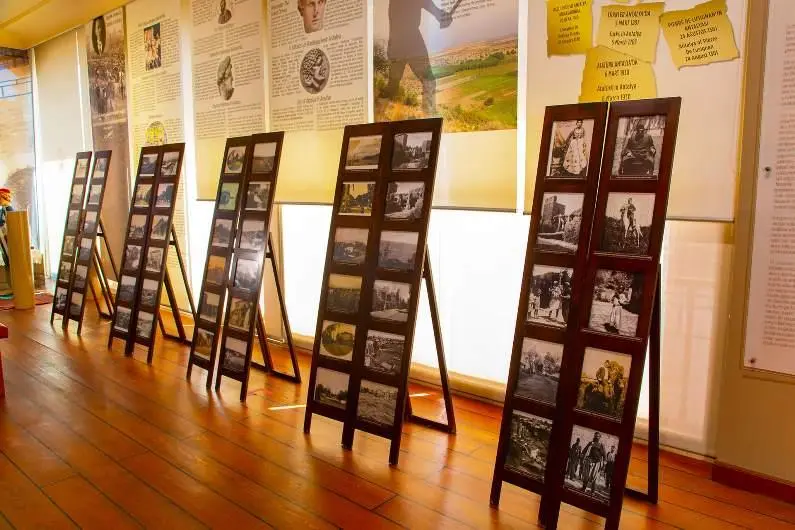
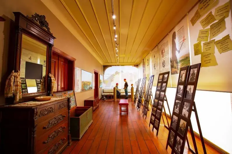
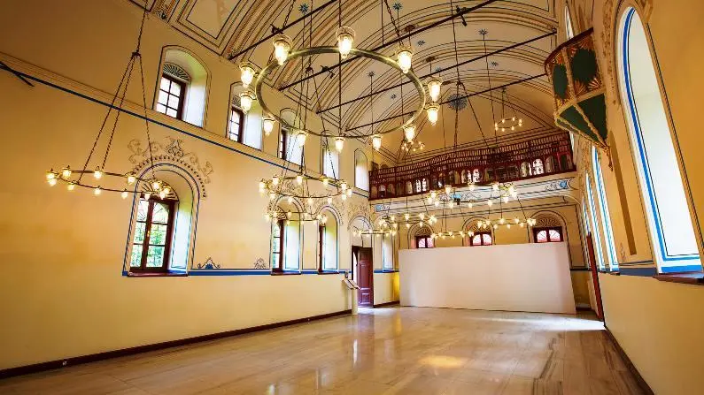
The Suna & İnan Kıraç Mediterranean Civilizations Research Center (AKMED) Kaleiçi Museum is located in Kaleiçi, the heart of Antalya, in two buildings that are registered as cultural monuments.
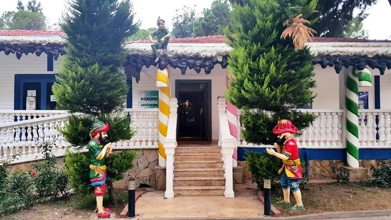
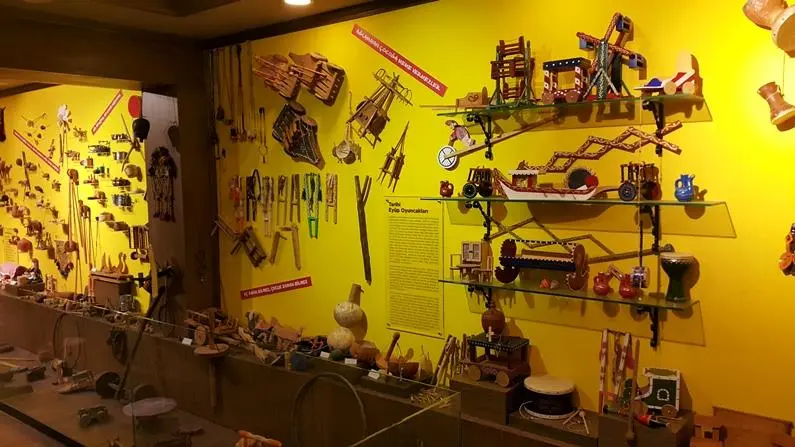

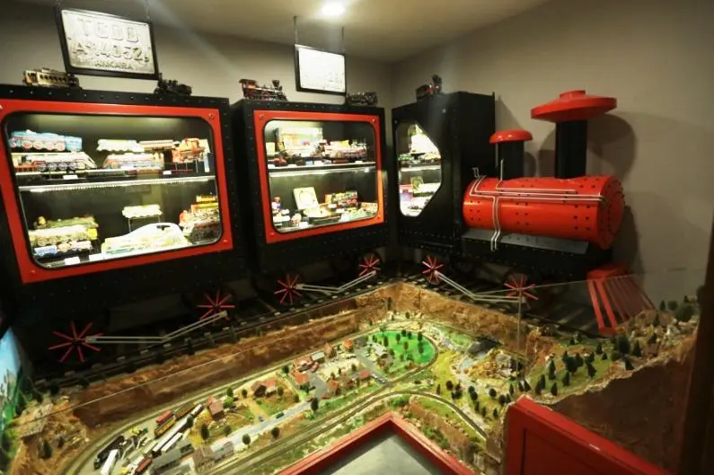
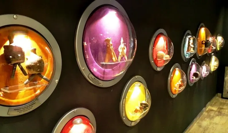


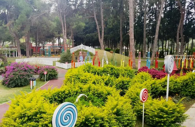


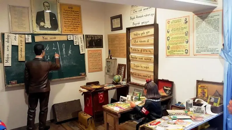
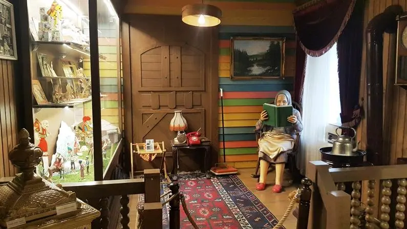


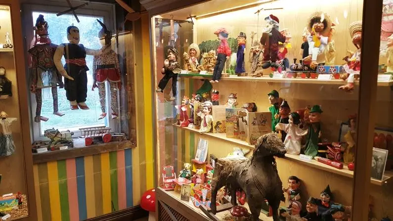
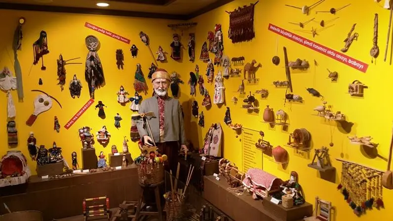

The building in Kepez Dokuma Park, which used to be a kindergarten building where the workers of the Dokuma factory entrusted their children, has been turned into a toy museum by the Kepez Municipality.
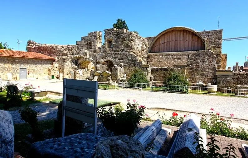
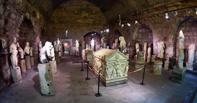
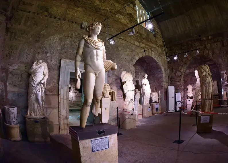
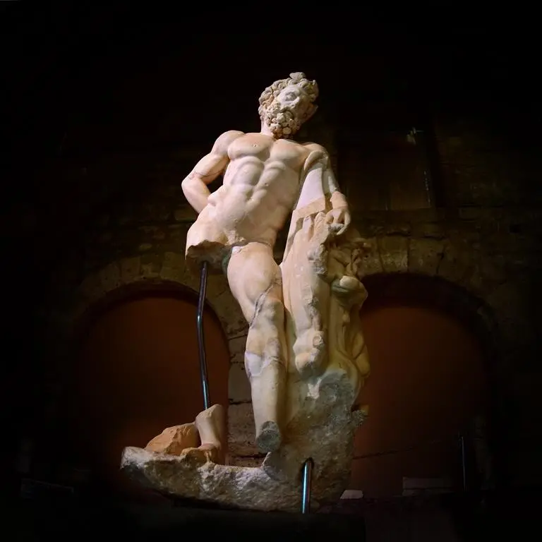
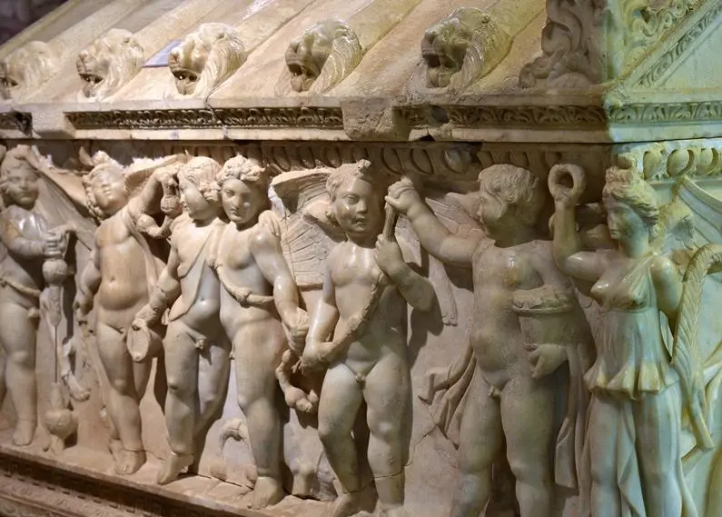
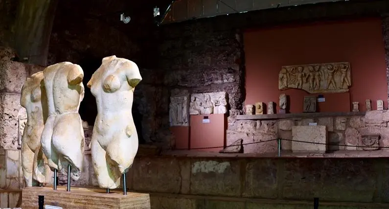
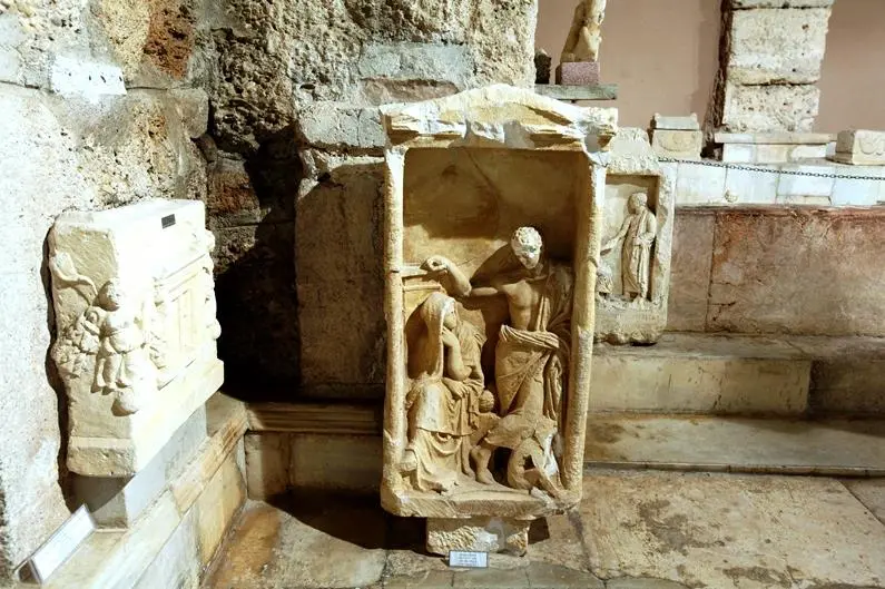
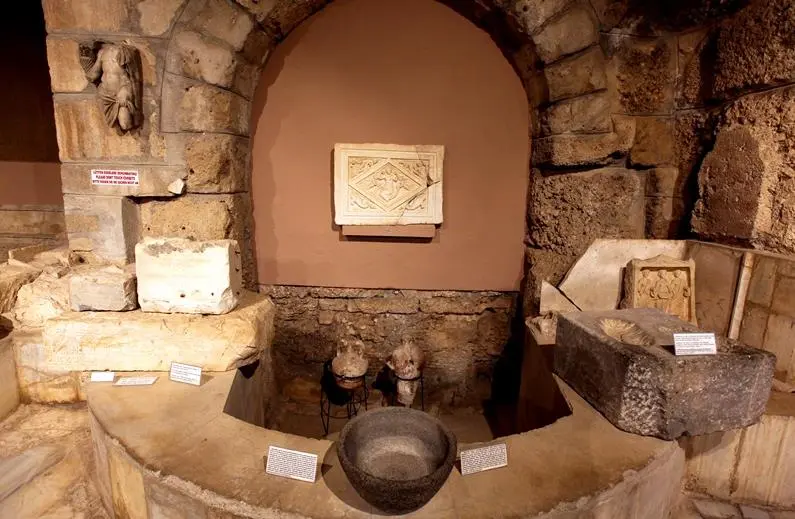
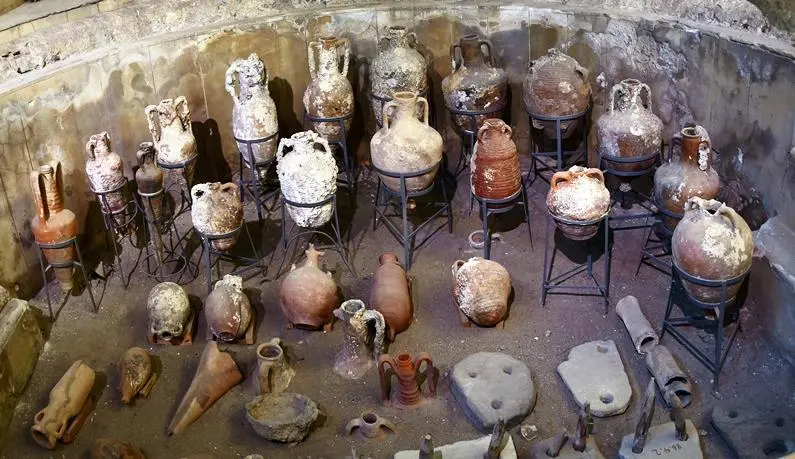
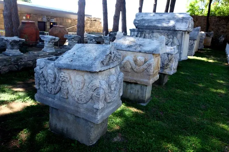
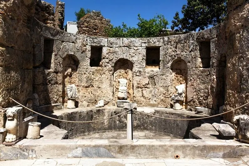
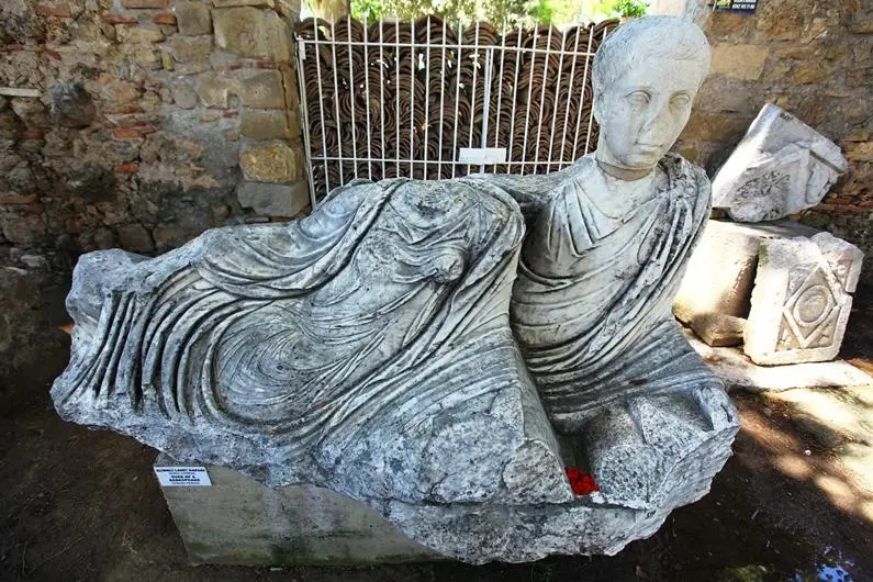
The Side Museum welcomes its visitors in a Roman bath building in the ancient city of Side which has been restored and turned into a museum. The museum, which was restored between 1959 and 1961 by Ragıp and Selma DEVREZ and opened in 1962, has the title of being the first museum opened in a village in Turkey.
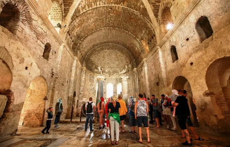
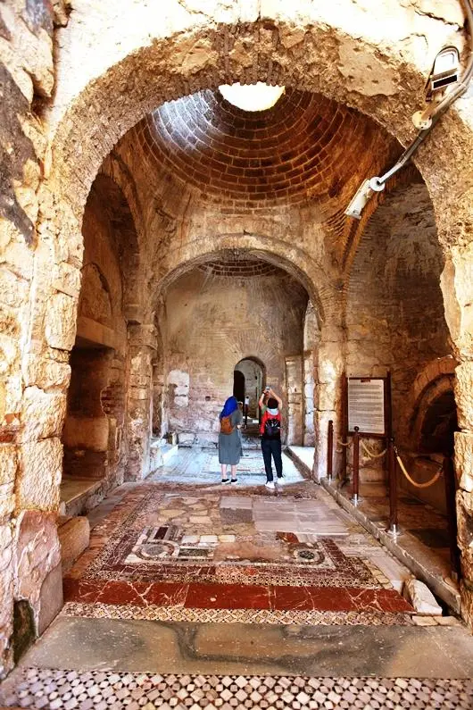
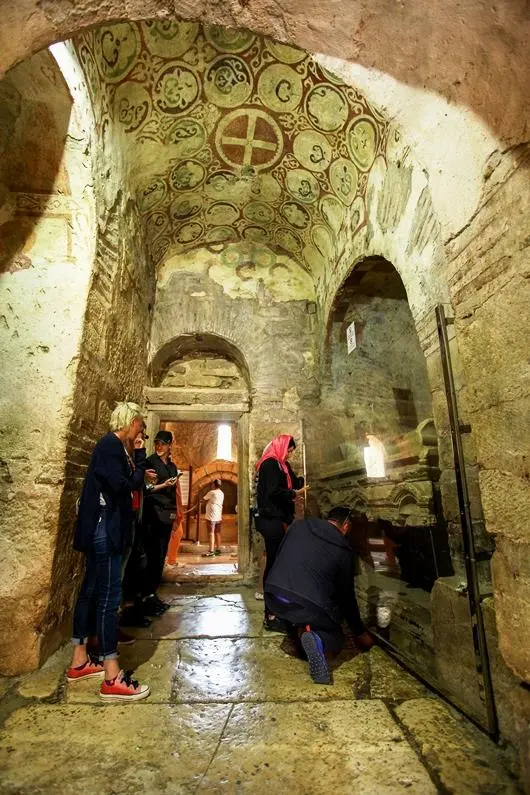
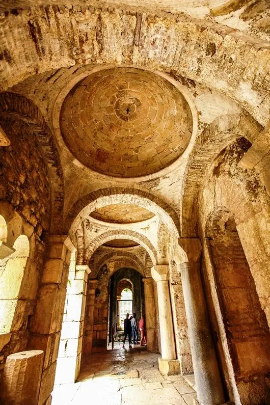
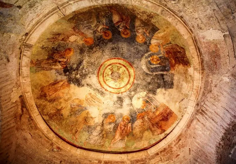
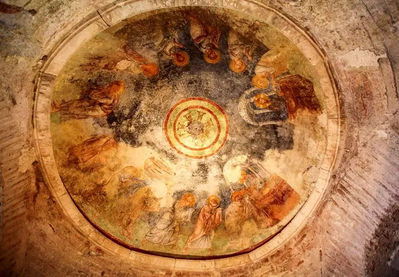
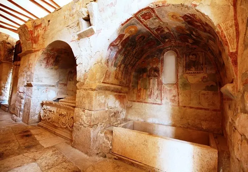
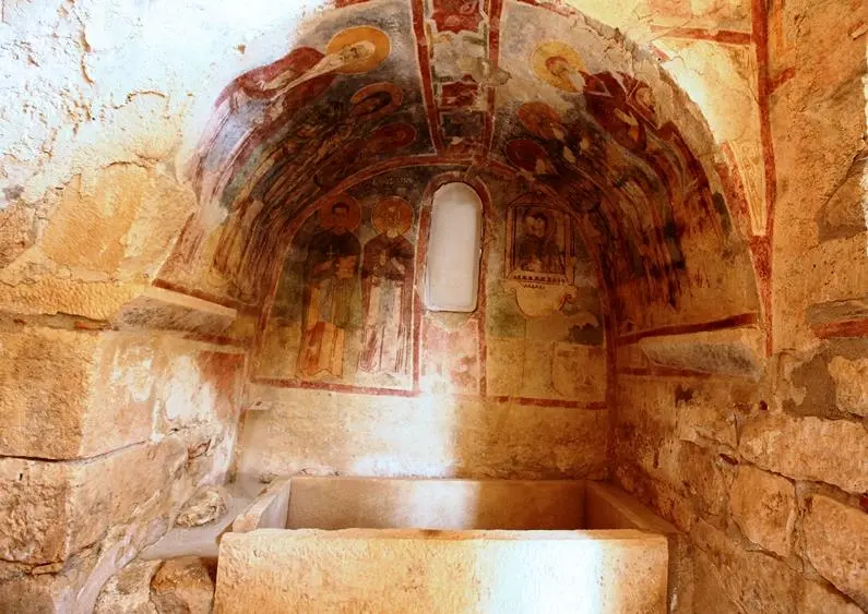
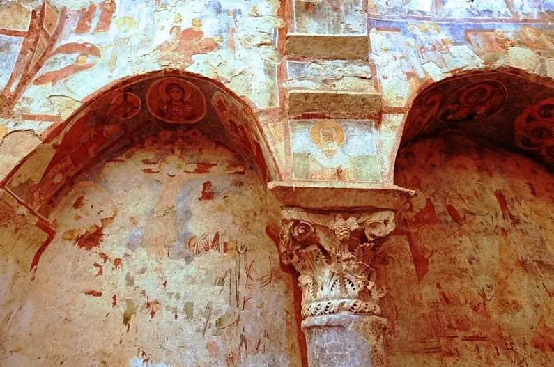
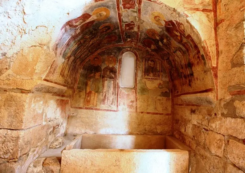
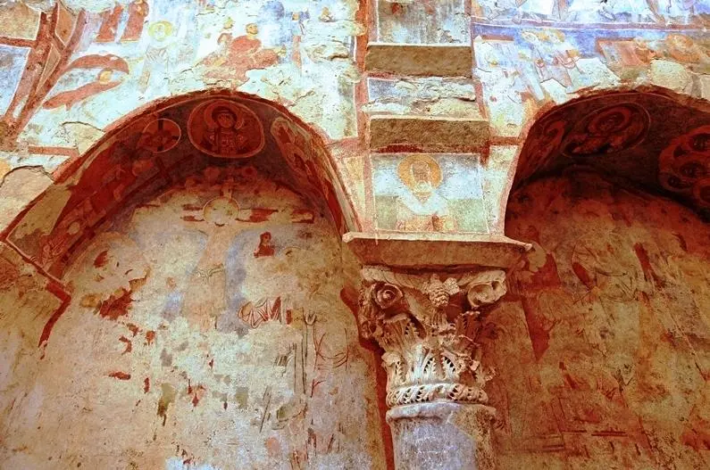
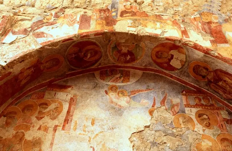
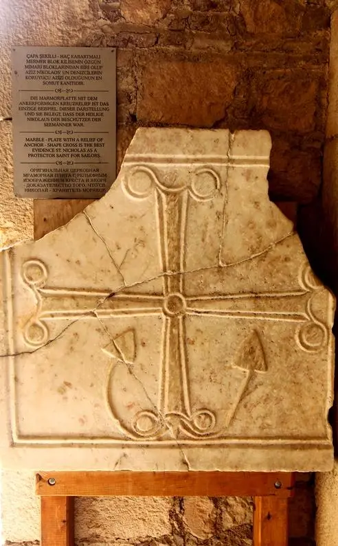
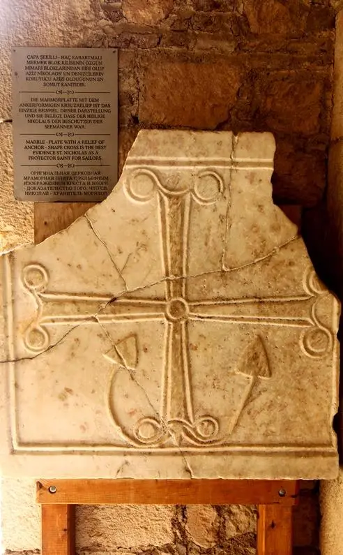
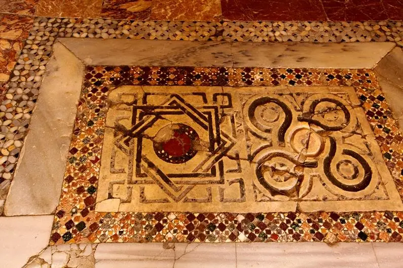
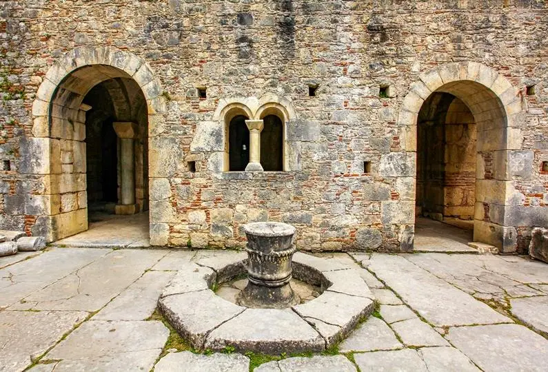
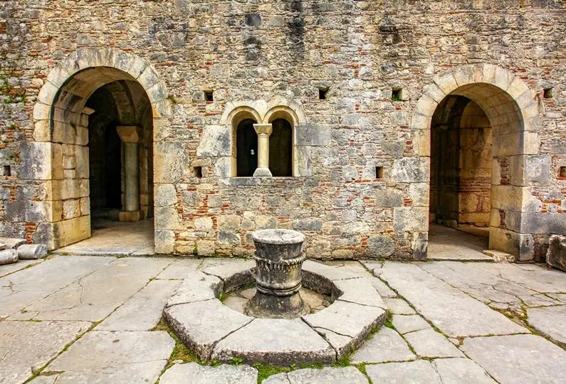
Considered the patron saint of children and sailors, St. Nicholas, also known as Santa Claus, was born in Patara in the second half of the 3rd century AD and lived here until his death as Bishop of Myra. After his death, a mausoleum and then a large basilica were built in the name of Saint Nicholas, who won the love of the people of Myra with his good deeds and his important place in the Christian world.
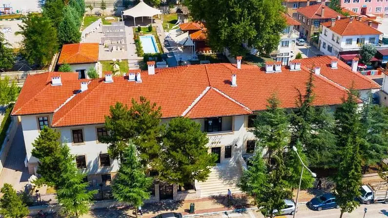
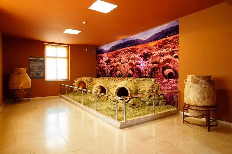
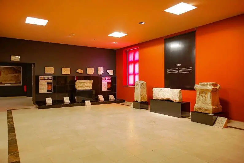
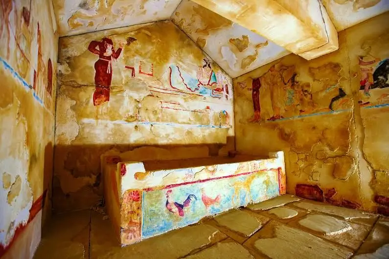
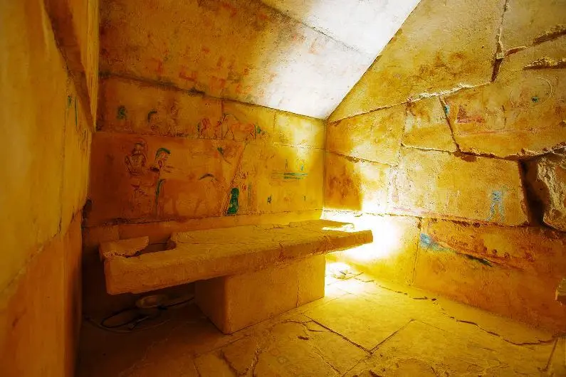
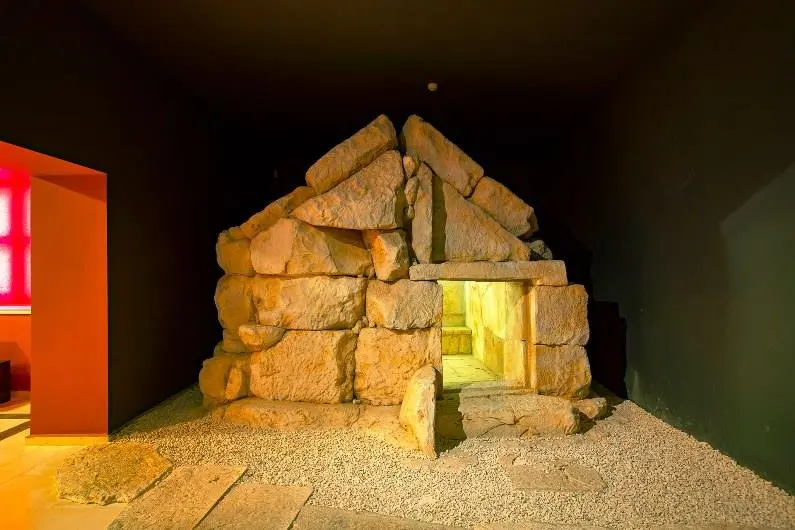
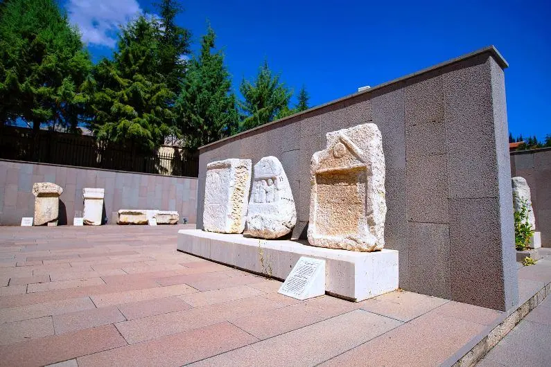
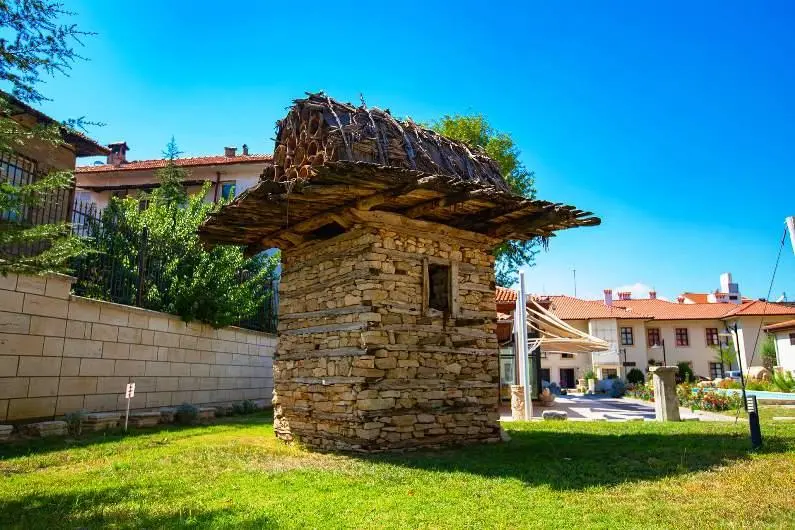
In the Elmalı Museum, which was put into service in 2011 with the reorganization of the Old Government Mansion in the İplik Pazarı Neighborhood of Elmalı district, important archaeological artifacts that illuminate the history of the region are exhibited.
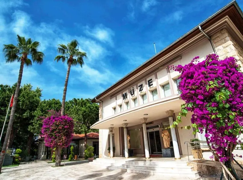
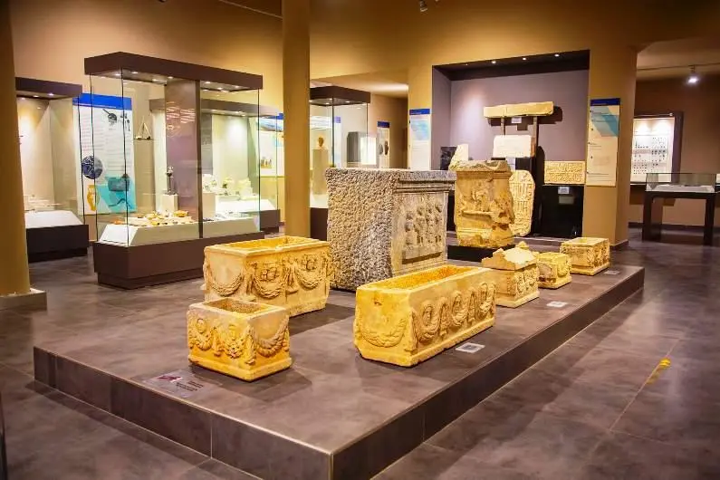
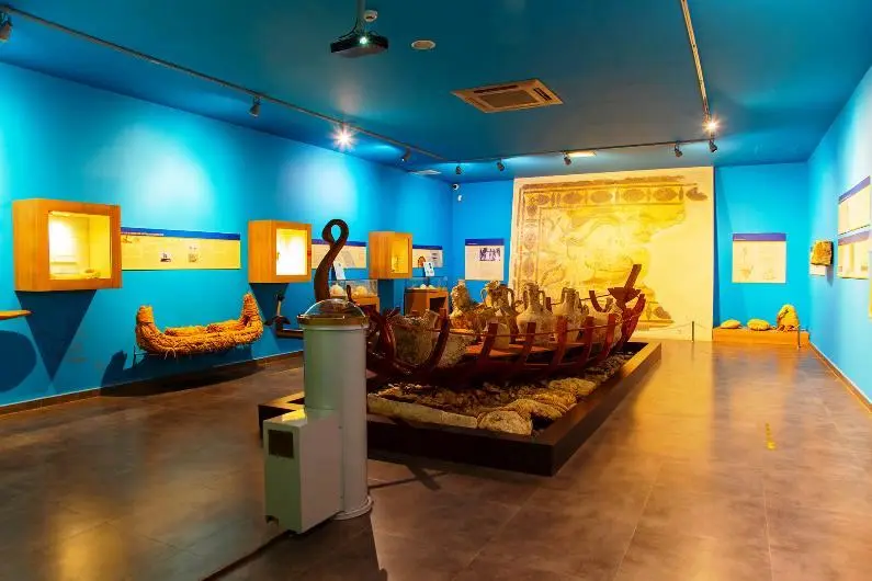
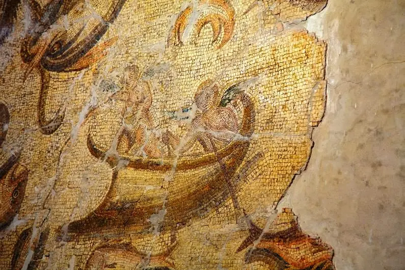
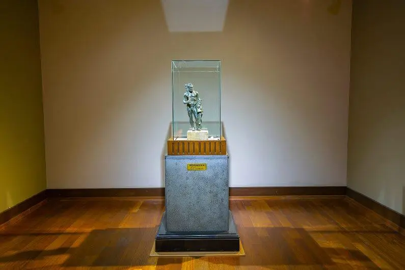
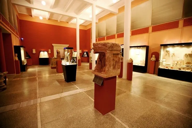
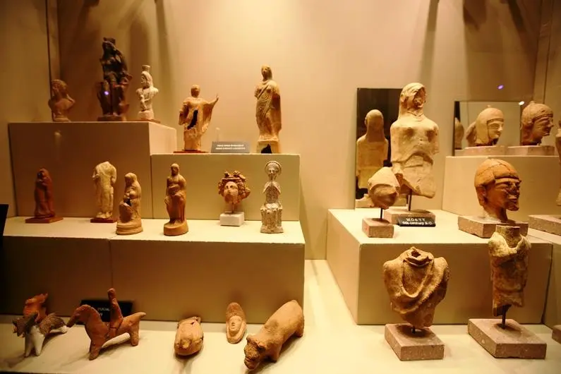
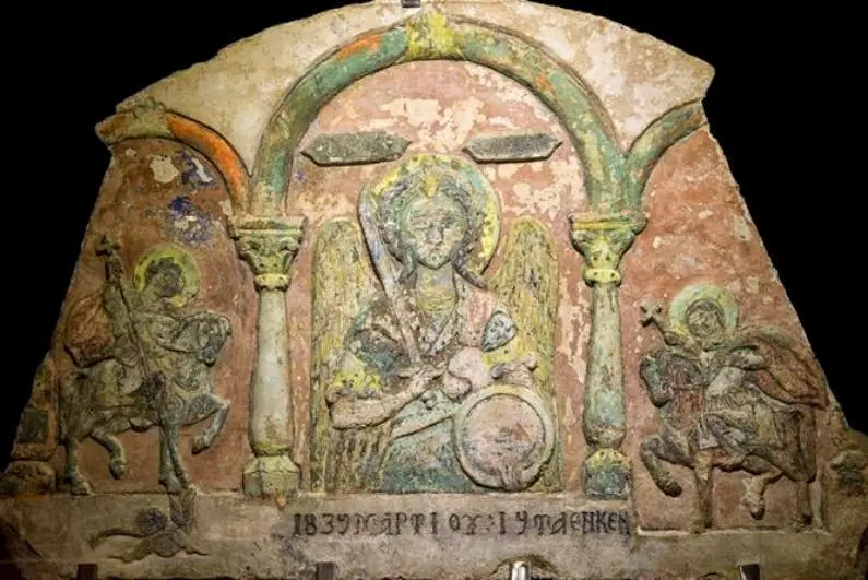
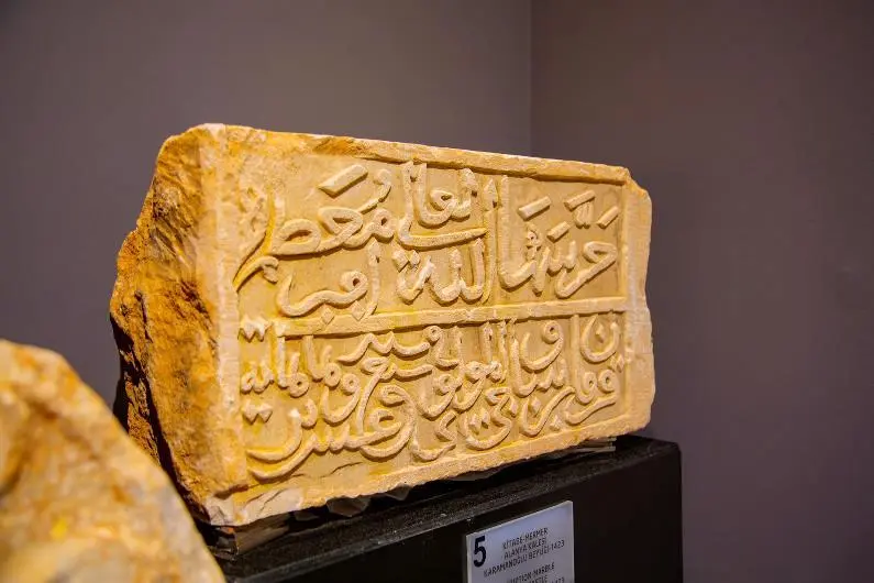
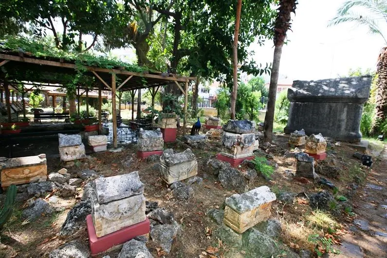
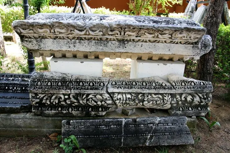
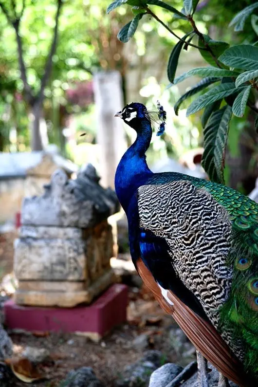
The rich historical heritage of Alanya, which has always been a popular settlement due to its strategic location and port, can be seen at the Alanya Museum. The museum is located on Damlataş Street at the beginning of the exit road to Alanya Castle.
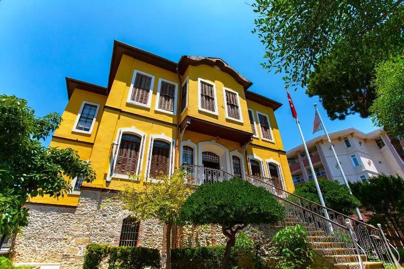
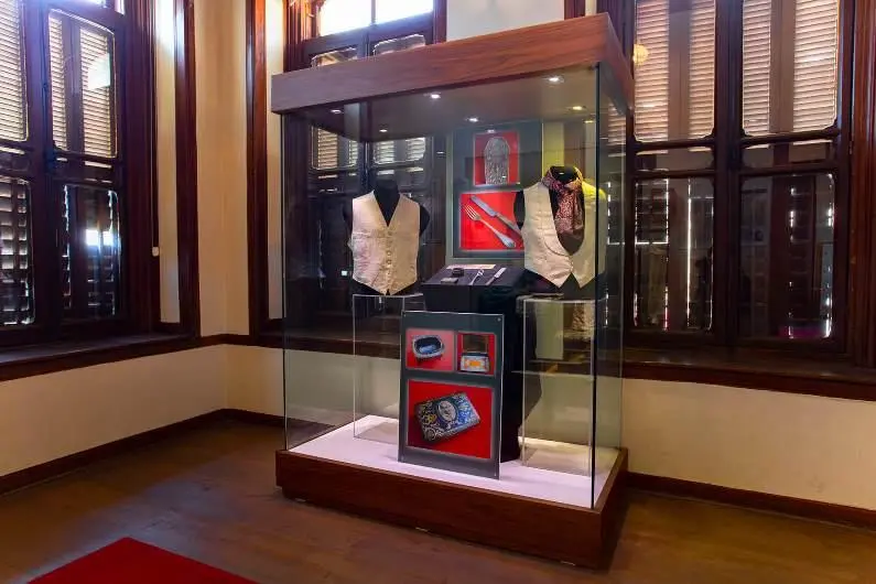
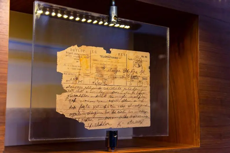
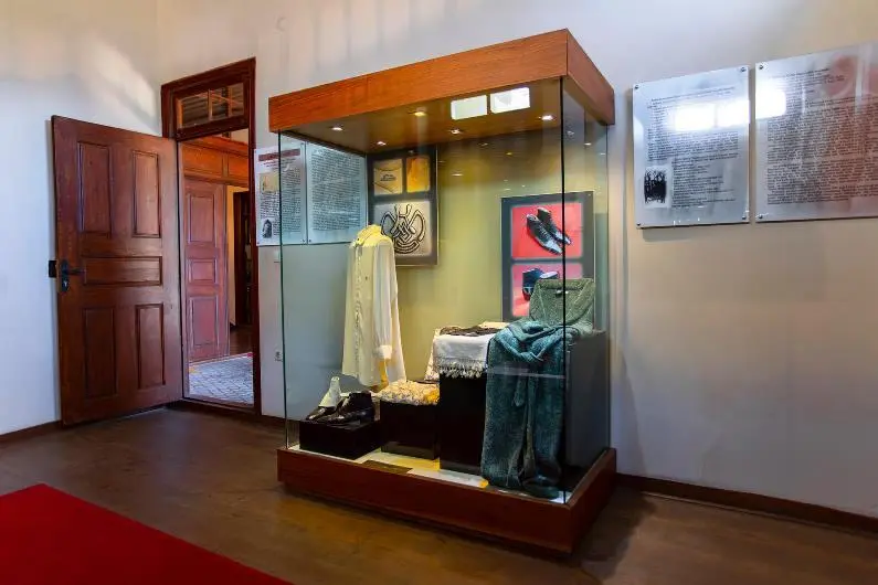
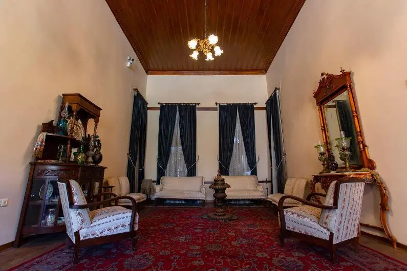
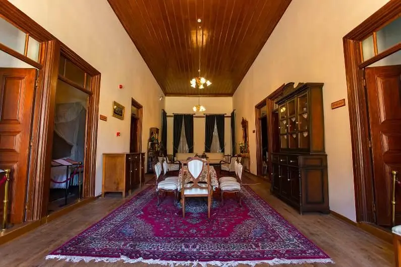
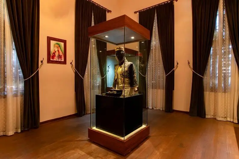
The house where Gazi Mustafa Kemal Atatürk stayed for a while during his visit to Alanya on February 18, 1935, was donated by its owner M. Tevfik Azakoğlu to the Ministry of Culture and turned into a museum in 1987.
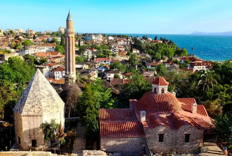
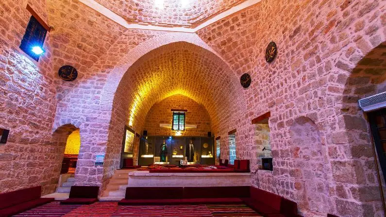
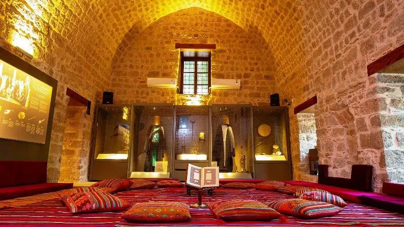
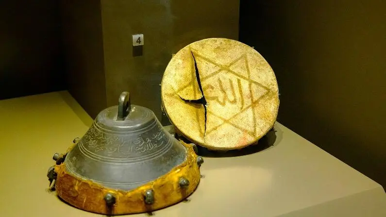

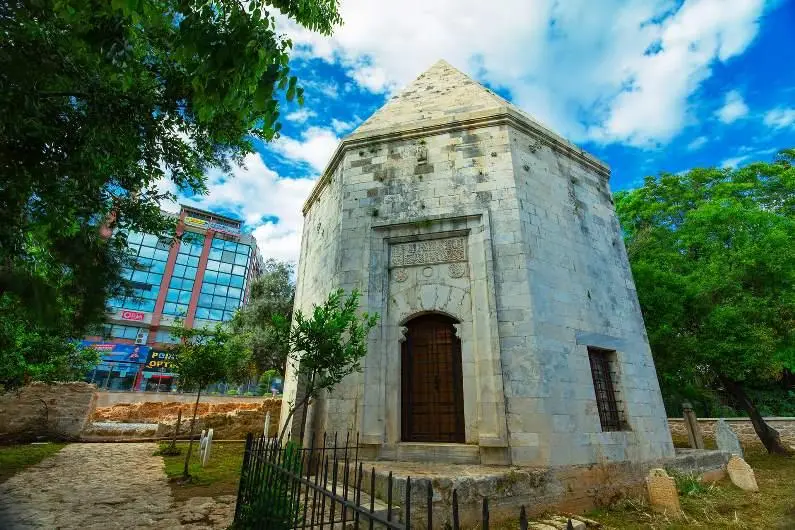
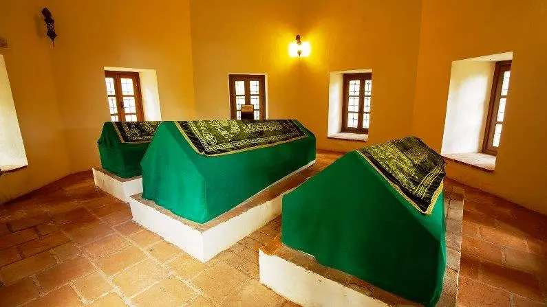
The building of Mevlevihane, located in Kaleiçi, one of the most touristic areas of Antalya, belongs to the Seljuk period. Although there is no inscription, it is believed to have been built by Sultan Alaeddin Keykubad in 1255 and was used as a Mevlevi mosque in the 16th century.
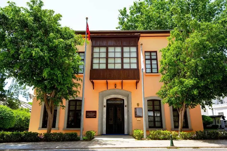
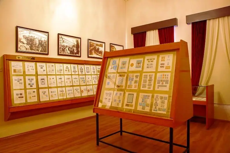
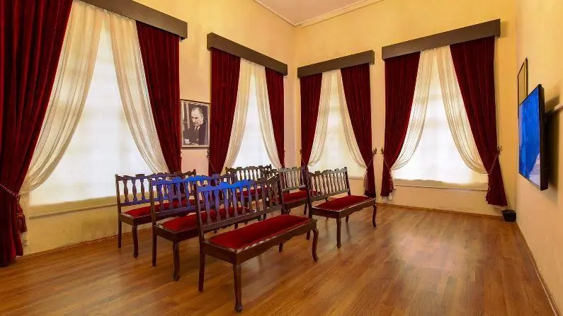
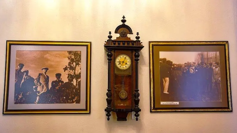
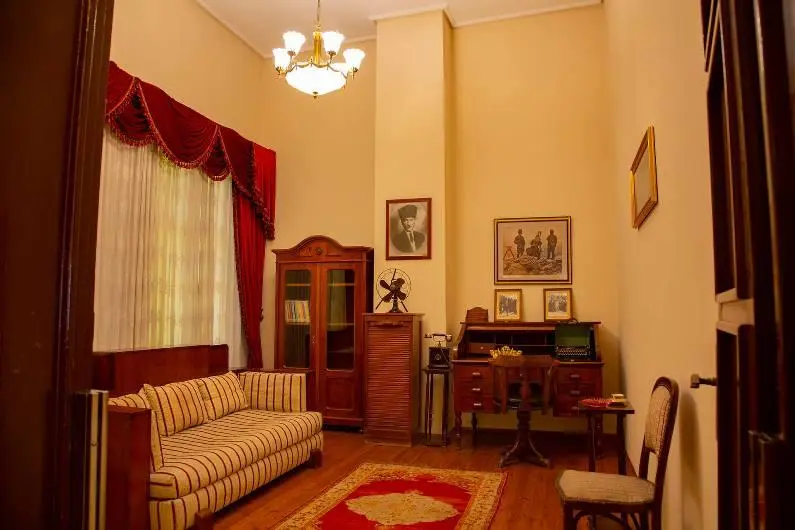
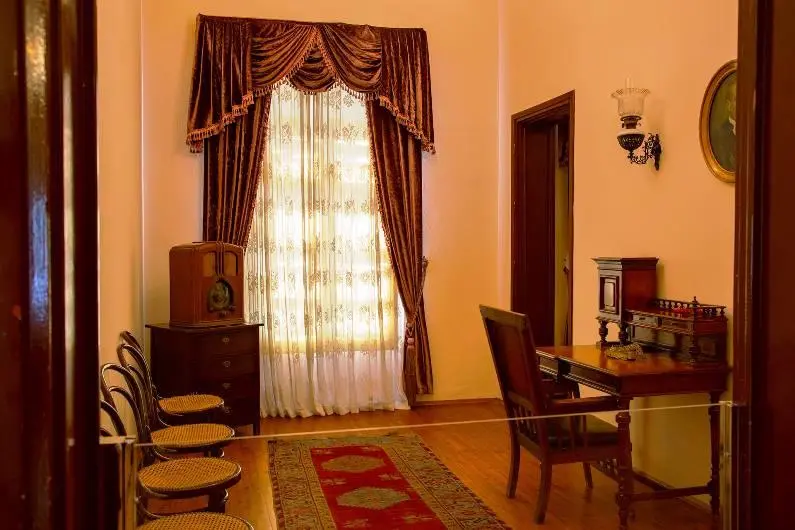
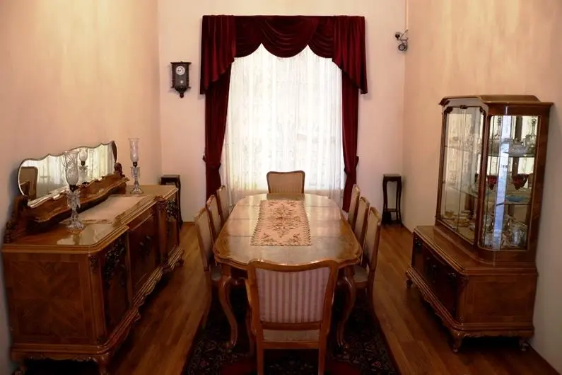
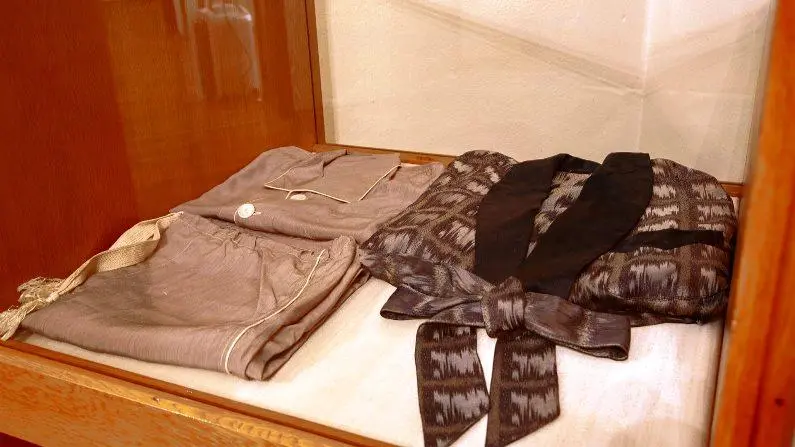
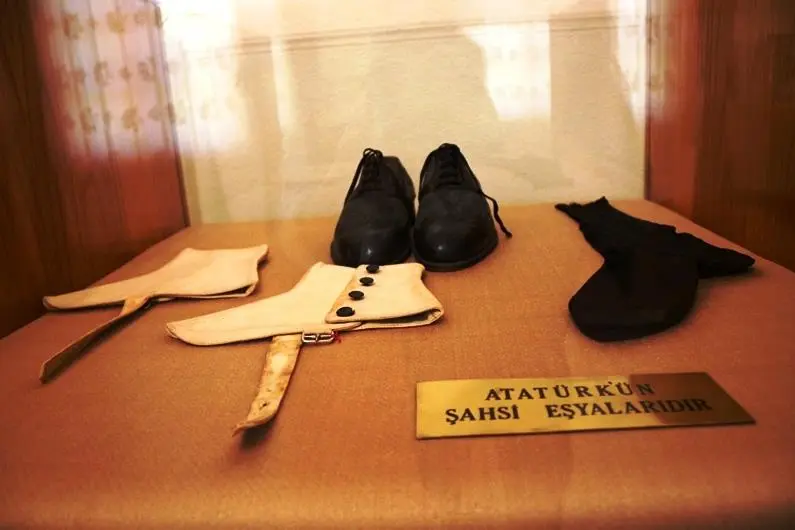
This building, where the museum is located, is a two-storey building with masonry walls. Dating back to the beginning of the twentieth century, the Atatürk House, which was used as the governor's building for a period and which the people of Antalya cleaned and furnished in a few days and gifted it to Atatürk upon the news that Atatürk would visit Antalya, is a two-storey building. It is a stone building with a tiled roof.
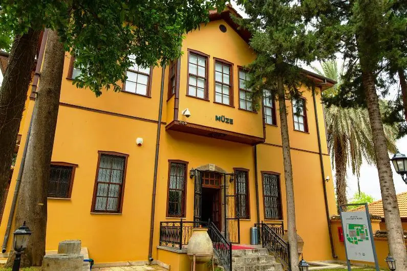
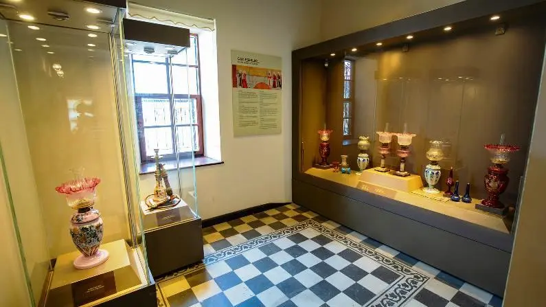
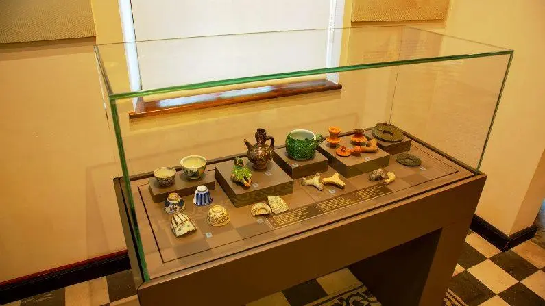
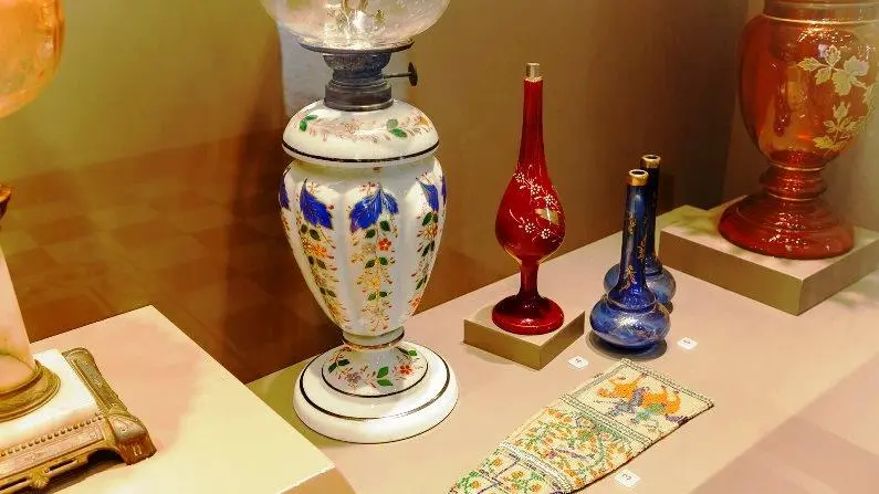
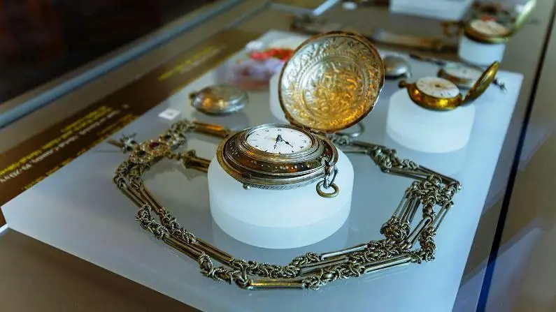
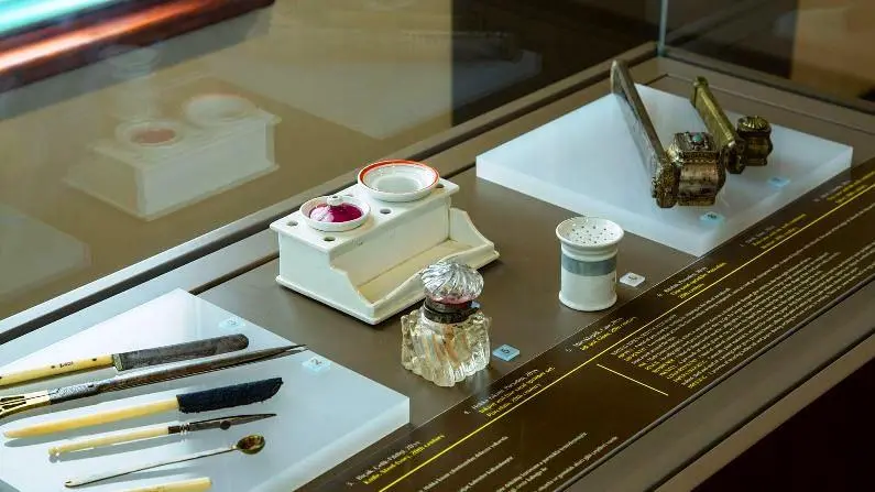
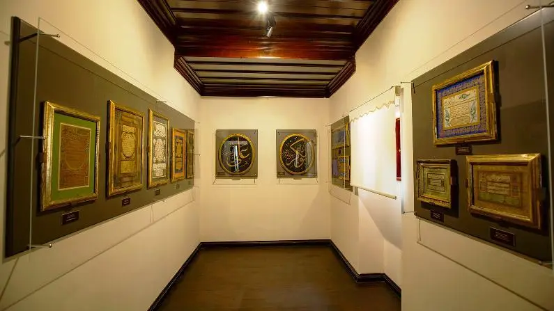
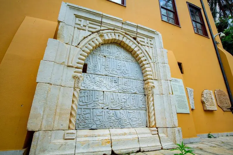
The Antalya Ethnography Museum, which was created by arranging two historical mansions from the Ottoman period, is located in Kaleiçi, the tourist district of the city center.
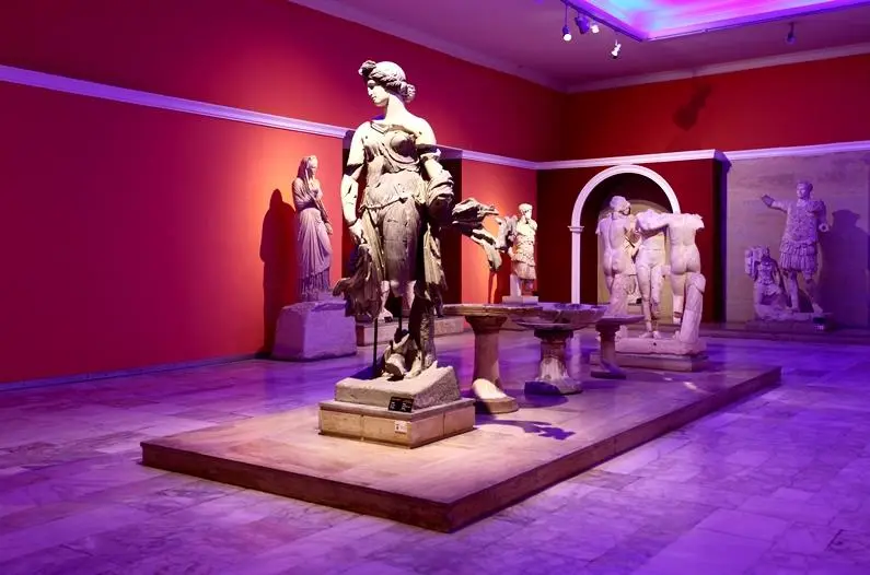
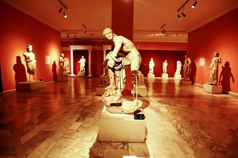
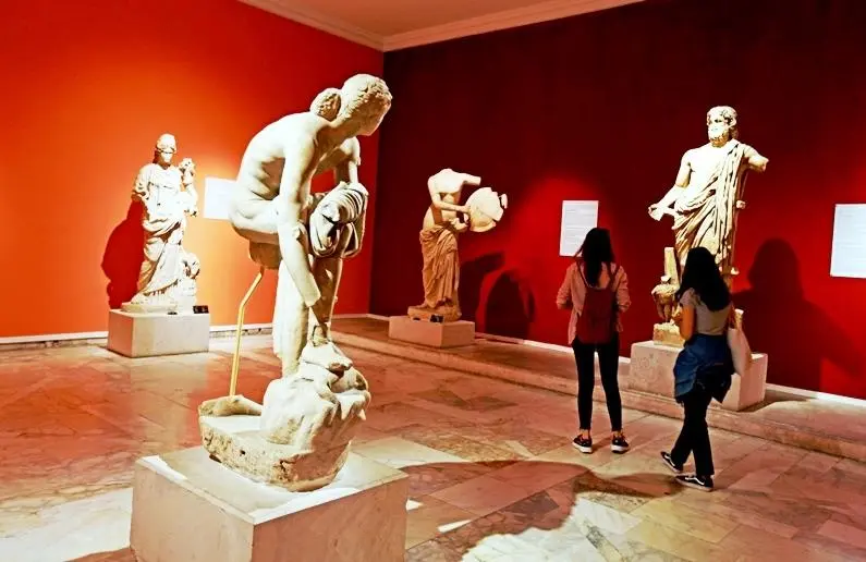
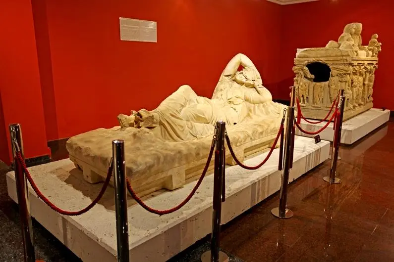
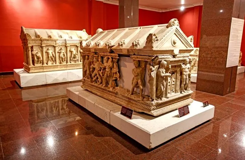
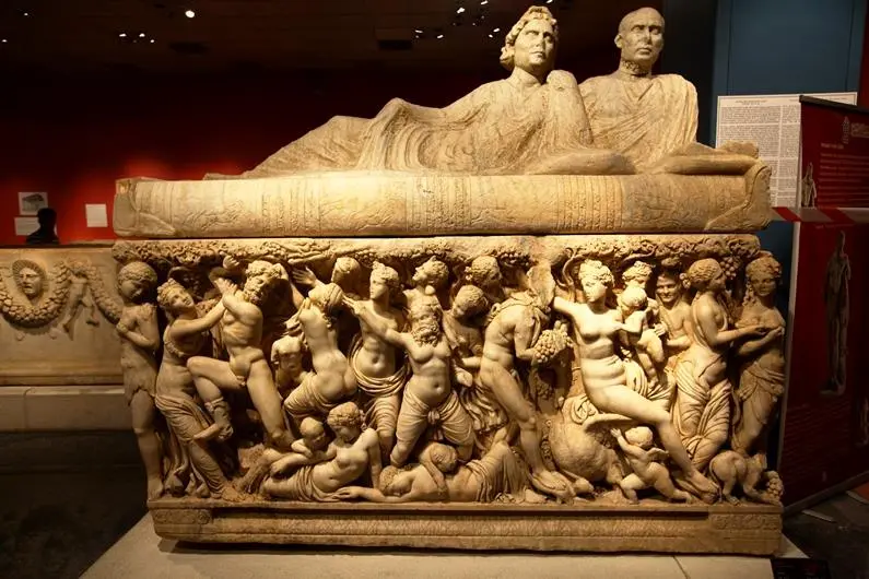
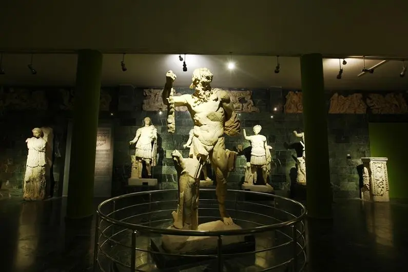
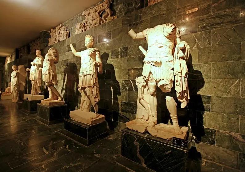
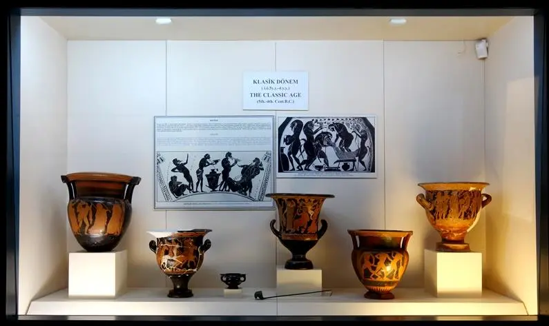
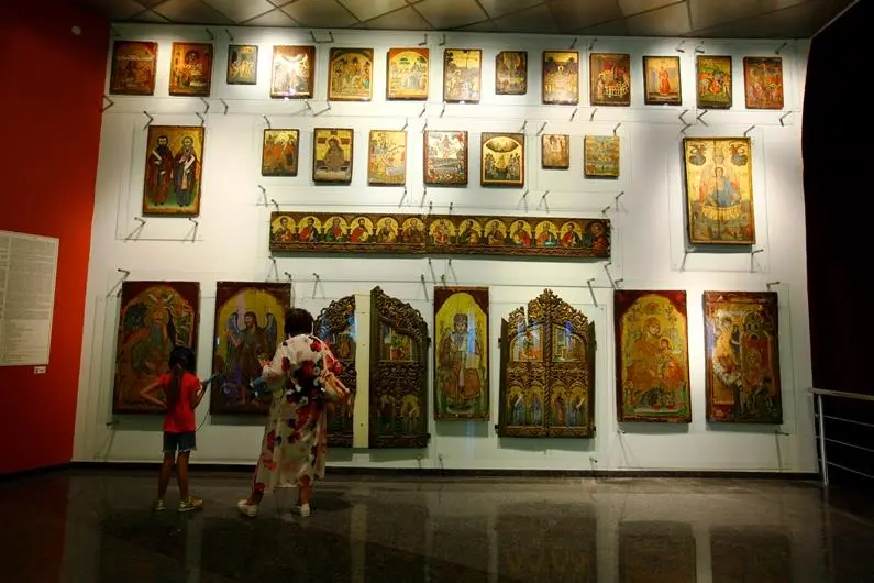
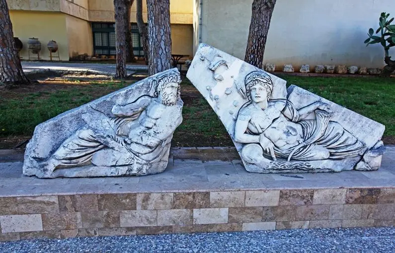
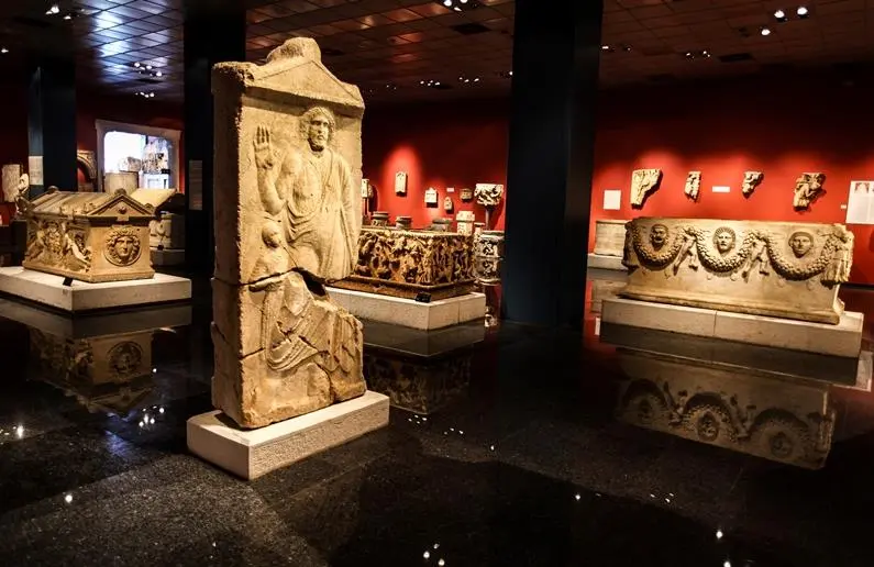
- Antalya Museum, where statues unearthed from the Ancient City of Perge also feature in other works, witnesses a period extending from the Lower Paleolithic Age to the Roman Period. Antalya Museum, dedicated to the three important ancient civilizations of the Mediterranean, "Lycia", "Pamphylia" and "Pisidia", living within the borders of Antalya, received the "Council of Europe Museum of the Year" award in 1988.


