Cestrus Ancient City
Description
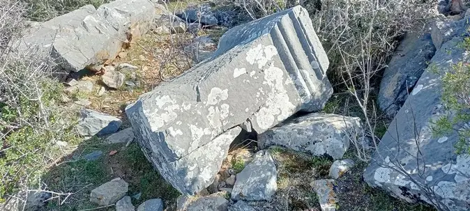
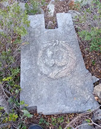
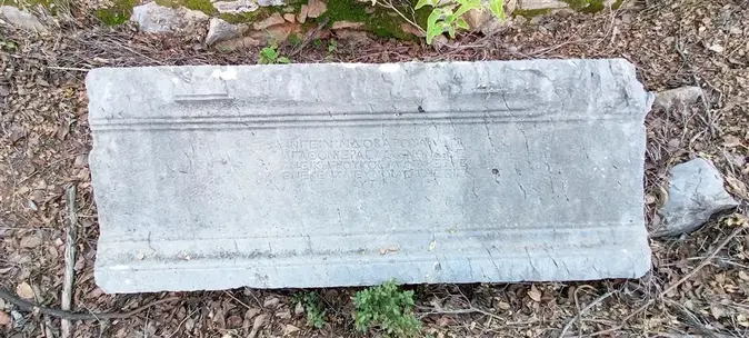
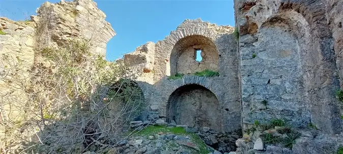
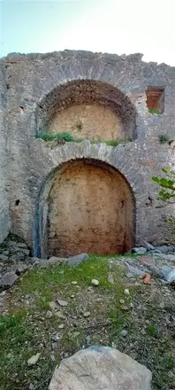
It is located 6 km southeast of Gazipasa District on a 350-metre rise, which is shown as Kilisetepe on the maps. The ruins are spread over an area of about 400 square metres. According to the inscriptions, it was localised as the ancient city of Cestrus. The city walls surrounding the city extend along the plateau on the hill and are still visible in the south direction. There is a large agora on the plateau surrounded by the city wall, a temple believed to belong to Vepasianus, the temple of Antony to the south and a monumental tomb to the east of the agora. The city is dated to the 1st and 2nd century AD according to inscriptions.
Short Description
It is located 6 km southeast of Gazipasa District on a 350-metre rise, which is shown as Kilisetepe on the maps. The ruins are spread over an area of about 400 square metres. According to the inscriptions, it was localised as the ancient city of Cestrus.

