

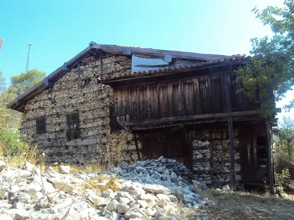
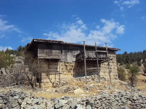
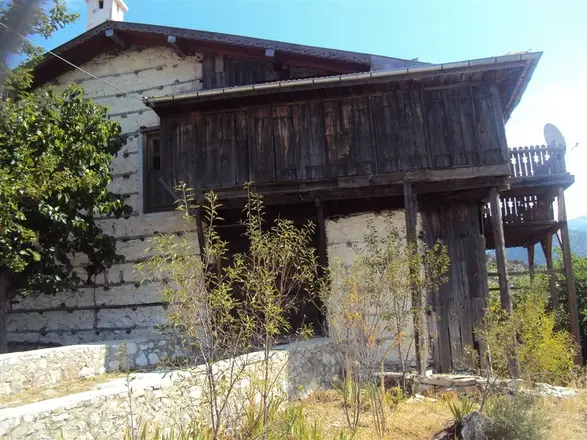
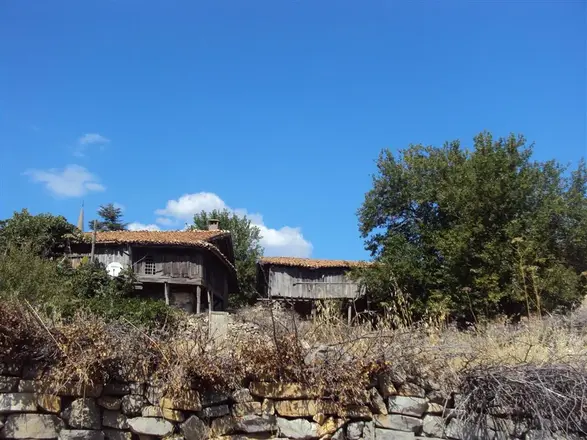
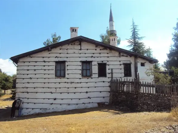
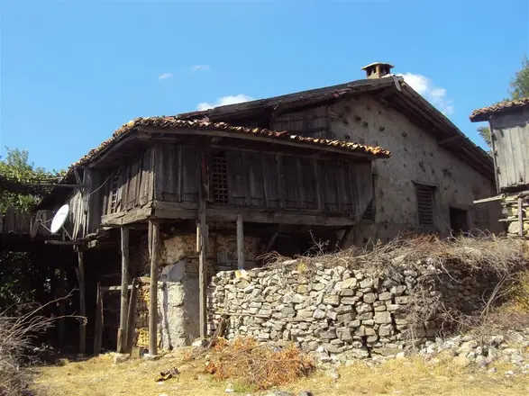
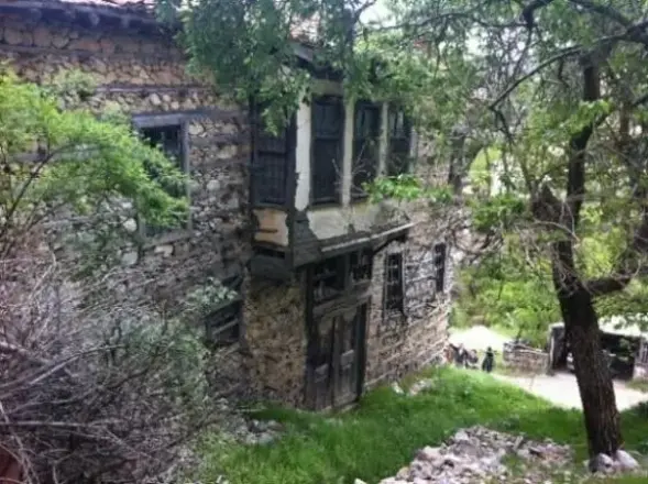
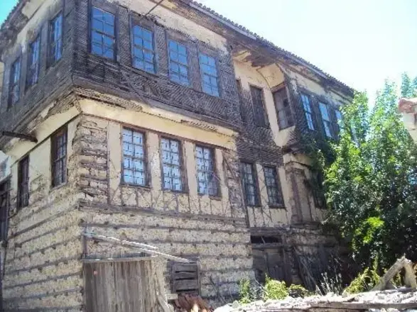
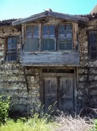
Akseki district of Antalya province mountain villages. "buttoned" construction, typical of the Akseki- Ibradı basin structures and traditional buildings that have survived to the present day intact texture are important qualities in need of preservation.
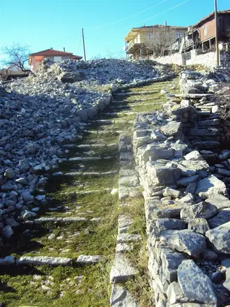
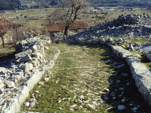
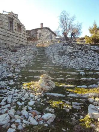
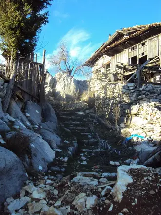

Akseki district of Antalya province mountain villages. "buttoned" construction, typical of the Akseki- Ibradı basin structures and traditional buildings that have survived to the present day intact texture are important qualities in need of preservation.
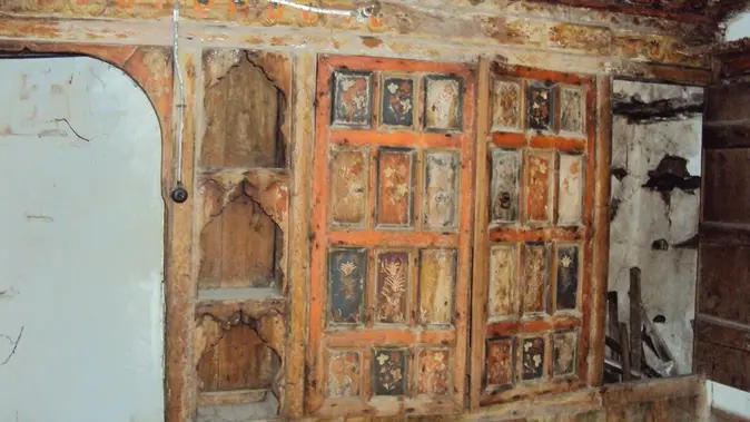
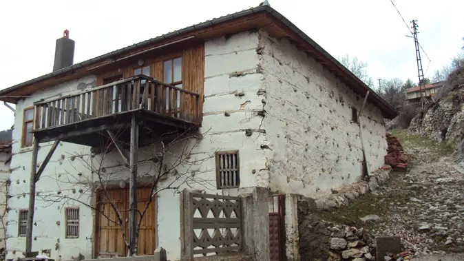
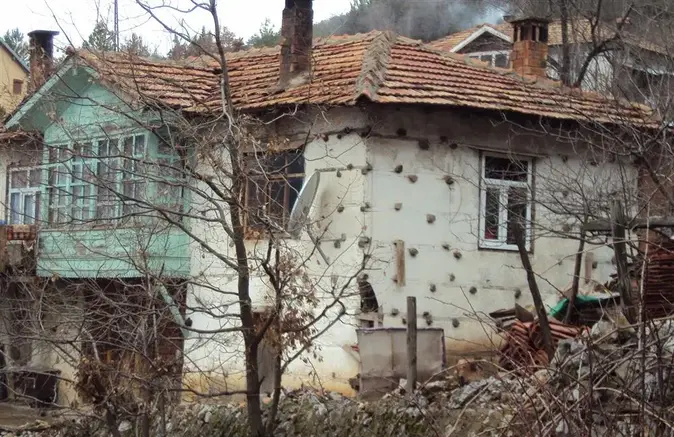
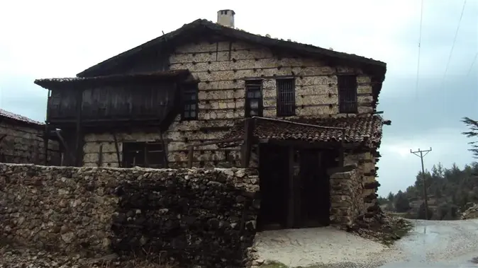
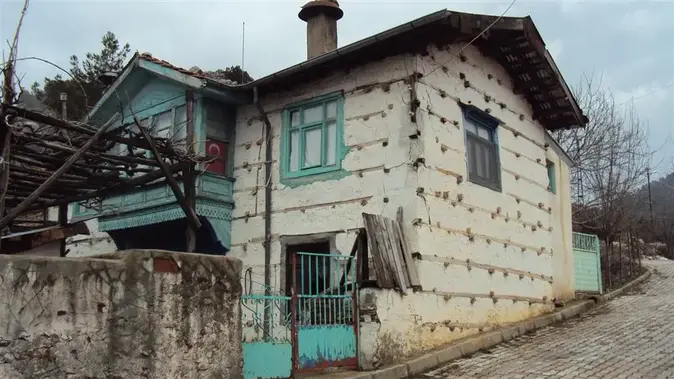
Akseki district of Antalya province mountain villages. "buttoned" construction, typical of the Akseki- Ibradı basin structures and traditional buildings that have survived to the present day intact. texture are important qualities in need of preservation.
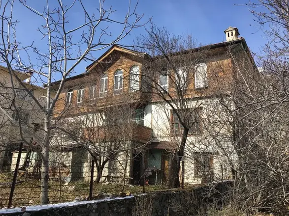
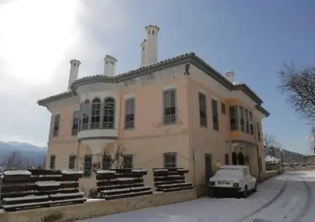
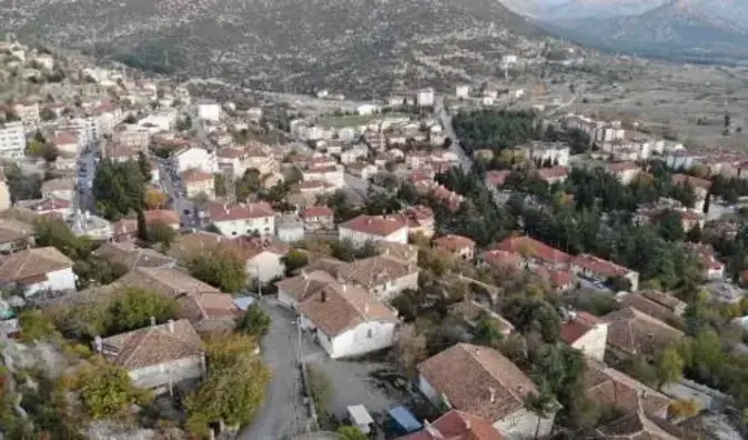
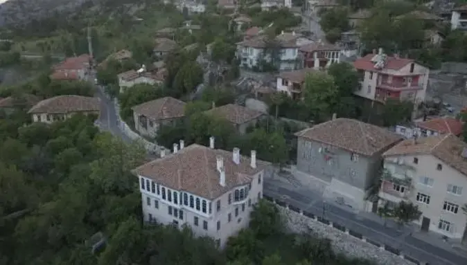
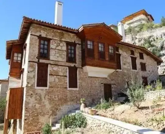
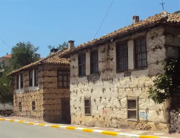
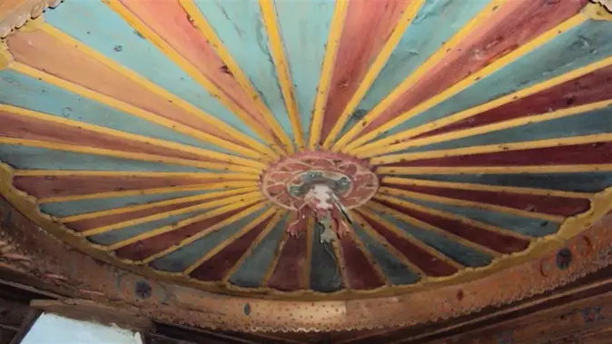
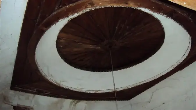
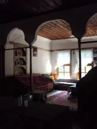
They are villages in the Akseki district of Antalya province. The structures with the "buttoned" construction technique, unique to the Akseki-İbradı basin, are important features that create the need to preserve the traditional durability that has survived until it breaks. The woodwork in the structural system and elements of these buildings is also unique to the region and is divided and valuable.
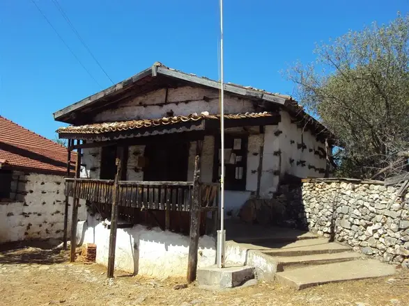
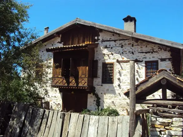
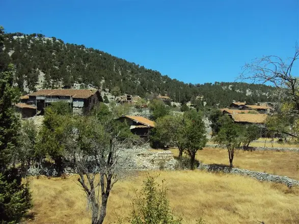
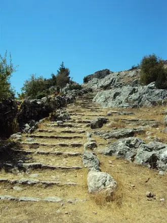
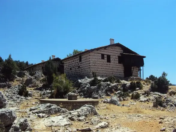
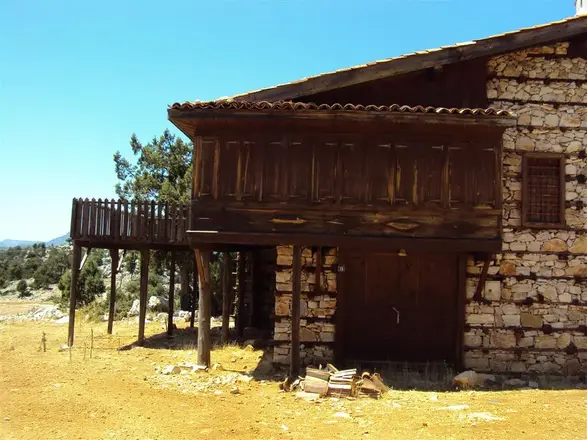
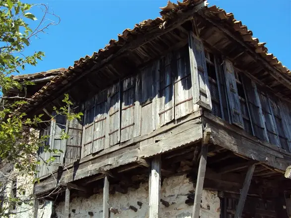
They are villages in the Akseki district of Antalya province. The structures with the "buttoned" construction technique, unique to the Akseki-İbradı basin, are important features that create the need to preserve the traditional durability that has survived until it breaks. The woodwork in the structural system and elements of these buildings is also unique to the region and is divided and valuable.
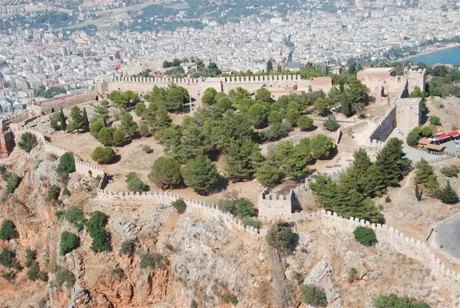
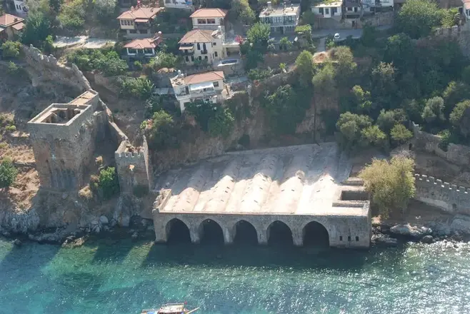
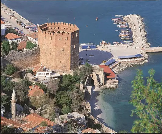
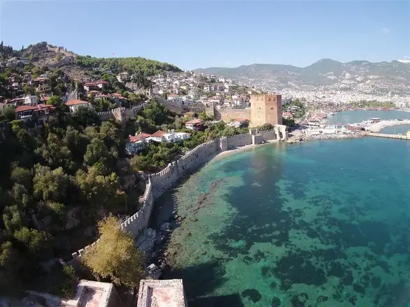
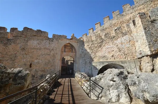
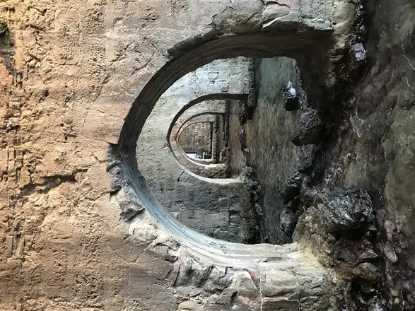
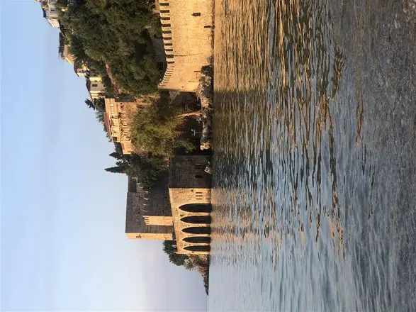
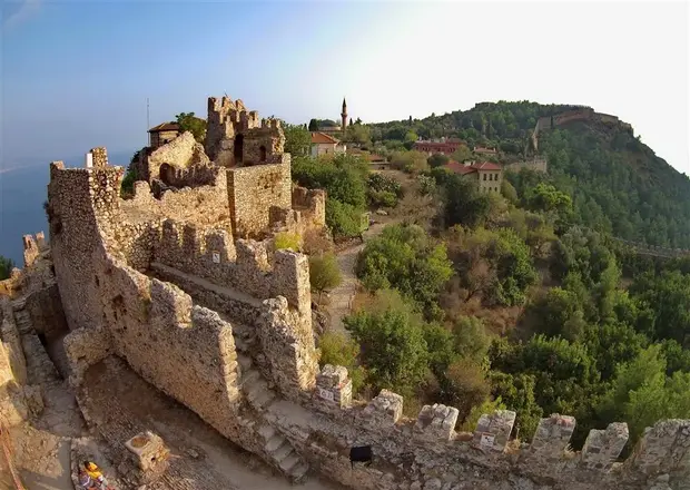
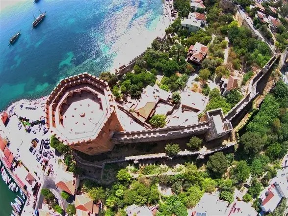
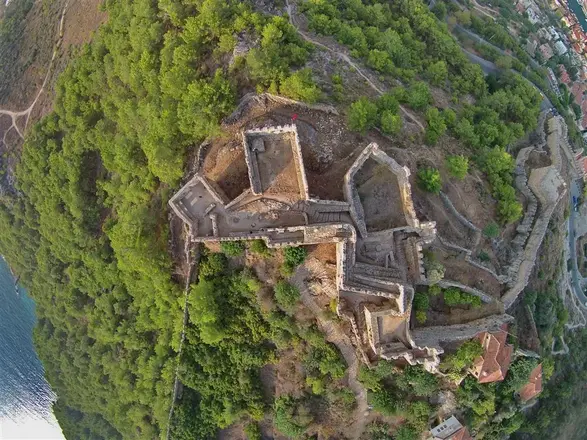
A 10-hectare peninsula surrounded by 6 km of ramparts
Korakesion became a pirate port and centre in the second century BC as an ideal refuge for pirates and rebels, thanks to its natural ease of defence even with a small military force and its sheltered harbour. The Hellenistic fortification wall with large block stones and mortar in the part of the Middle Fortress from Arap Evliyası to Ehmedek dates back to the period of Diototos Tryphon, the ruler of the city in the second century BC.
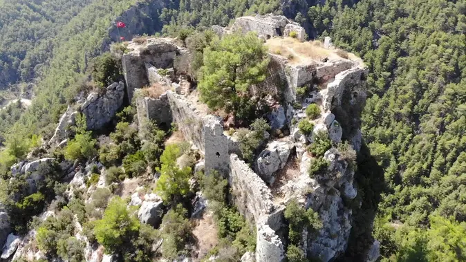
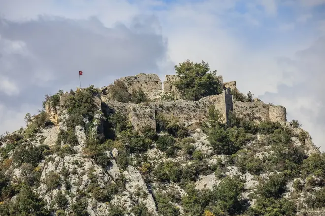
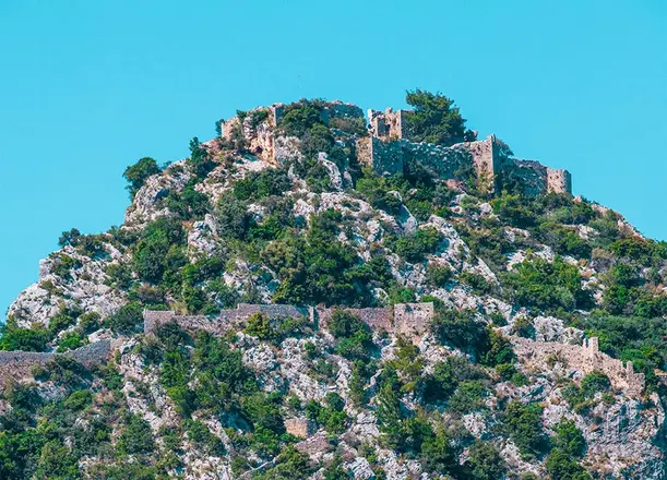
Alara Castle, 37 kilometres west of Alanya, 7 kilometres inland from the sea, was built by the Seljuk Sultan Alaeddin Keykubad I in 1232. The function of the castle on the Silk Road is to ensure the safety of the caravans stopping at Alara Han on the banks of Alara Stream. The castle was built on a steep hill ranging from 200 metres to 500 metres. It has a majestic appearance.
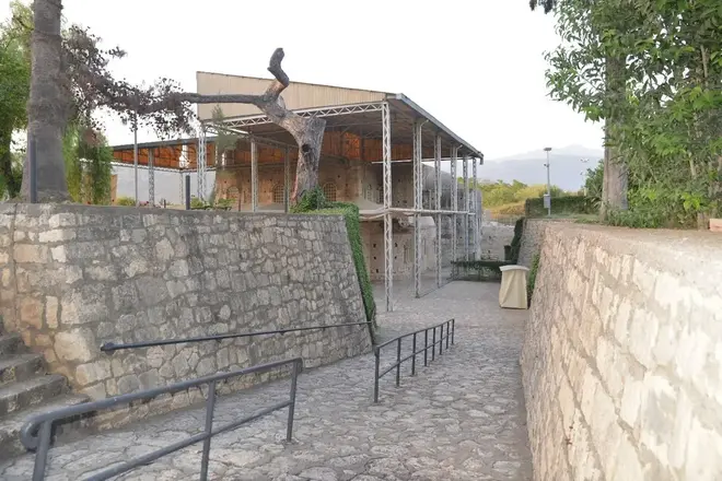
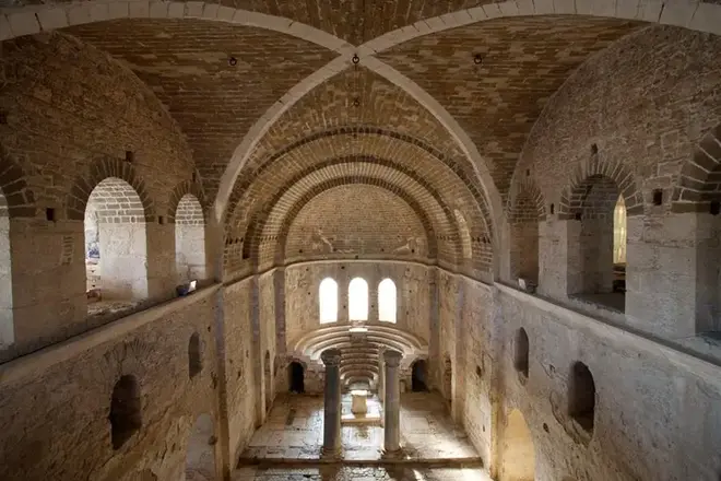
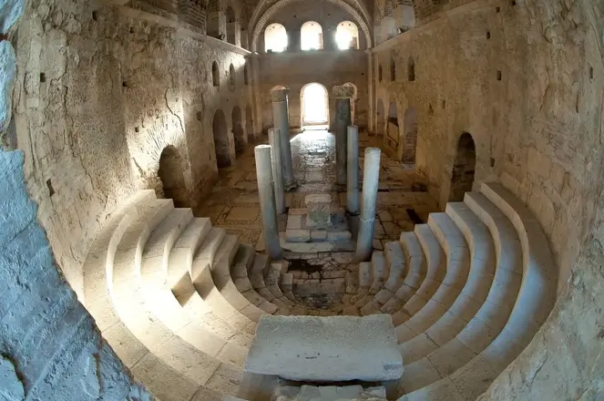
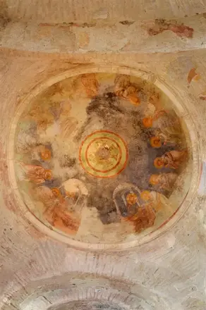
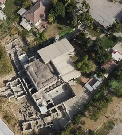
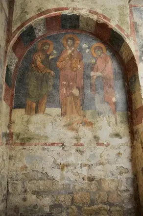
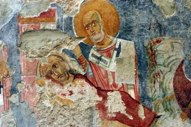
In the mid-5th century, during the reign of Emperor Theodosios II (408-450), Myra became the capital of the province of Lycia. During these years, the existence of Nikolaos' memorial building in Myra is known. In 529, after the great earthquake in the region, Emperor Iustinianos I (527-65) restored this building.
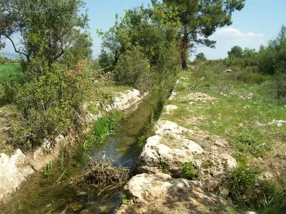
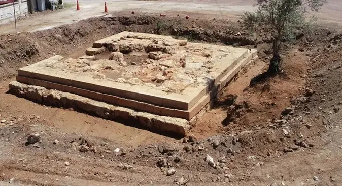
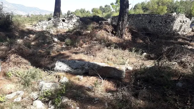
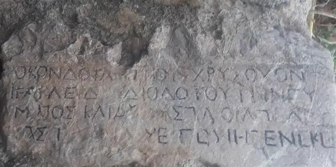
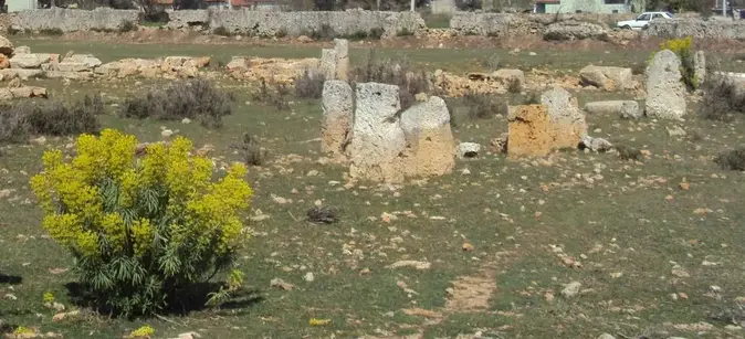
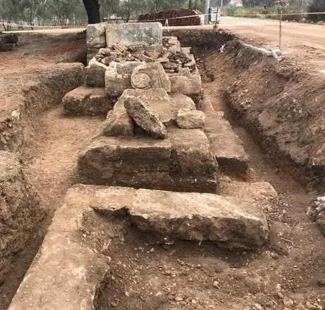
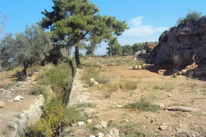
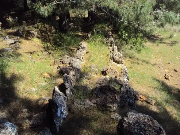
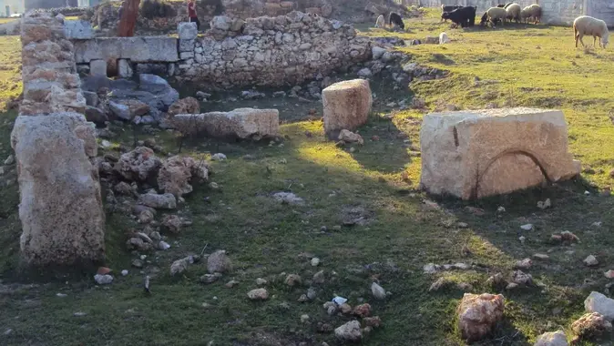
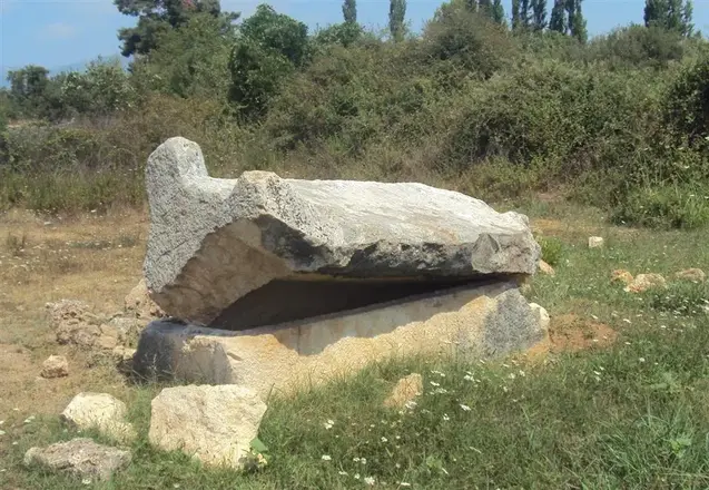
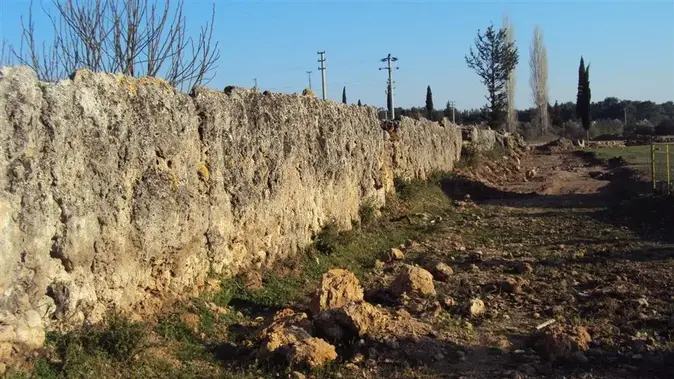
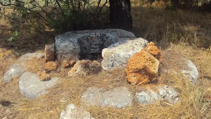
Eudokias is on the Antalya-Korkuteli highway, 17 km northwest of Antalya city center. The plain where Yukarıkaraman is located today formed the western edge of the Pamphylia Plain in ancient times, so the ancient city in question is essentially a Pamphylia settlement. Region M.S. Until 313 A.D. by Emperor Vespasian. It was counted within the united state of "Lykia and Pamphylia", which we know was founded in 74, and when Lykia and Pamphylia were separated from each other in 313 and became independent states, it remained within the borders of the state of "Pamphylia".
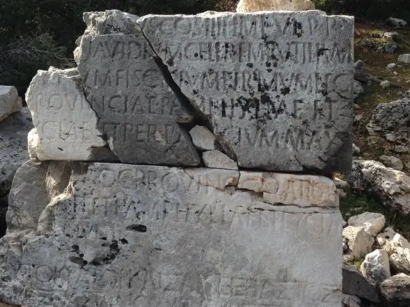
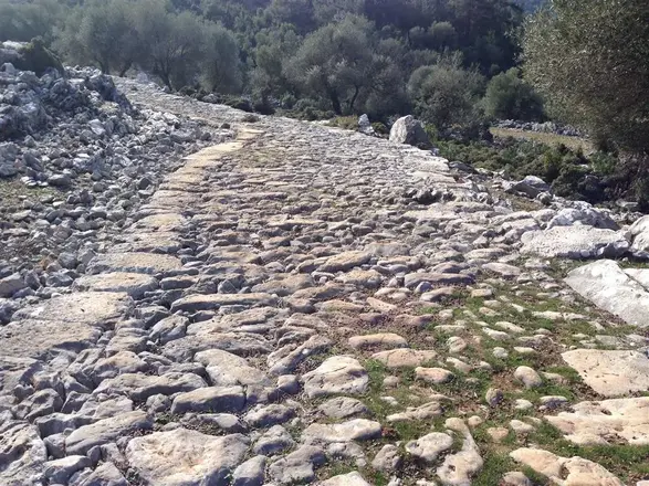
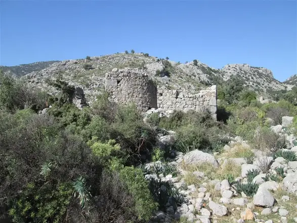
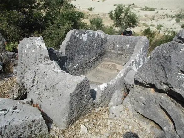
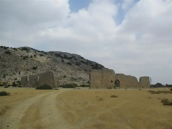
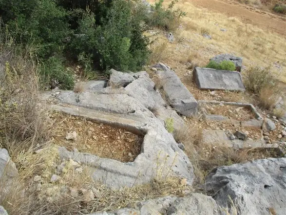
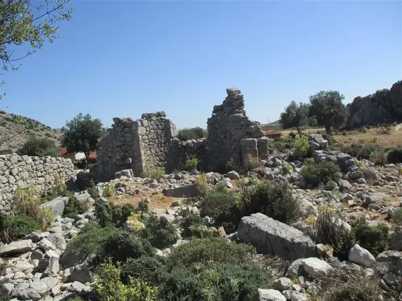
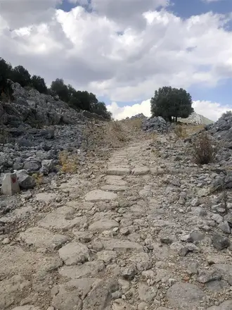
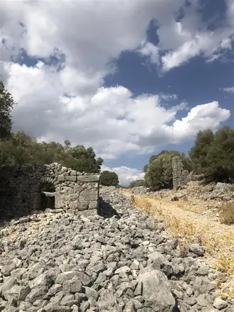
Derbent Strait, which was one of the roads connecting the cities of Pamphylia and Pisidia in ancient times, continued its function during the Byzantine and Seljuk-Ottoman periods, and even became a migration route for Yoruks until recent times.
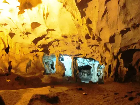
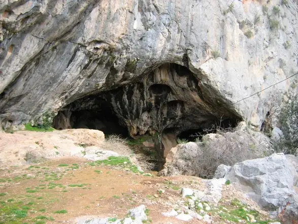
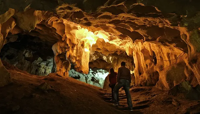
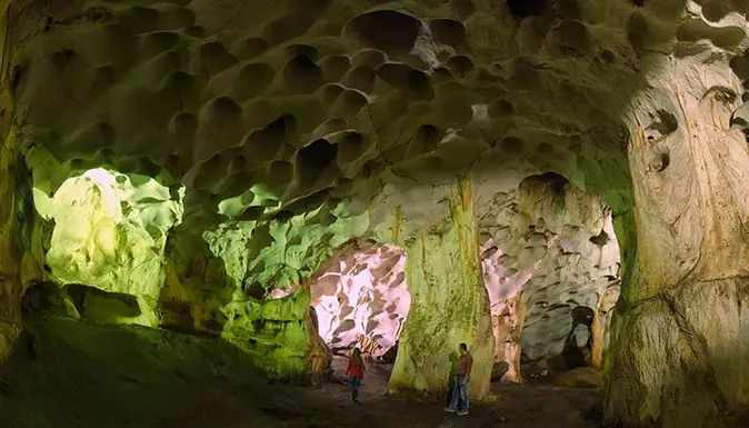
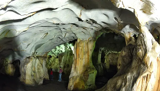
Karain Cave is one of the largest natural caves in Turkey. Its height from the sea is 430-450 metres. It is located within the borders of Yağca village, 30 km northwest of Antalya, 5-6 km from the old Antalya-Burdur highway. The distance to Antalya is 27 km. Excavations have been carried out since 1946.
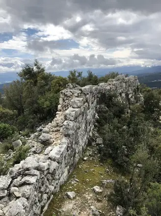
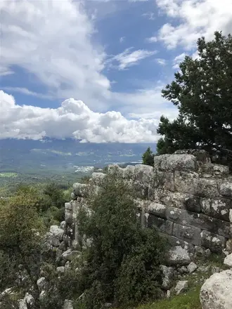
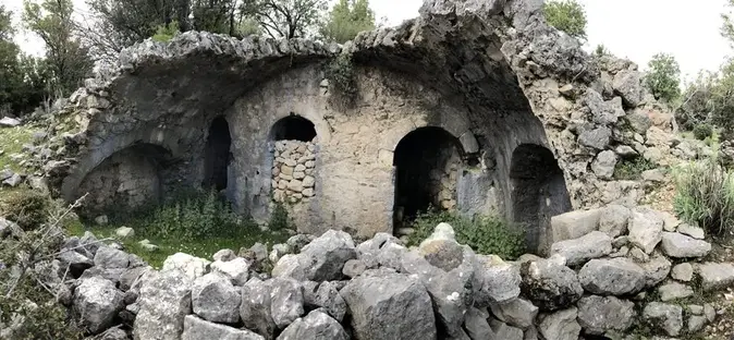
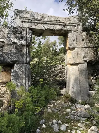
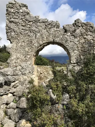
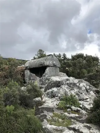
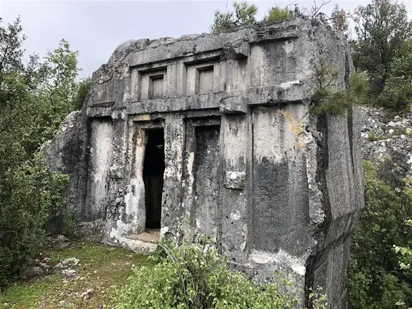
Arneai Ancient Settlement is 26 km northwest of Myra. It is 45 km away from Finike. It is reached from 25 km of the Limyra- Arykanda road towards Kaş at the 10th km towards the valley. It is located 5 minutes walk south from Ernez. It is not a well-known city in history. It is a small settlement. It is known that it was included in the sympoliteia in the first century AD.
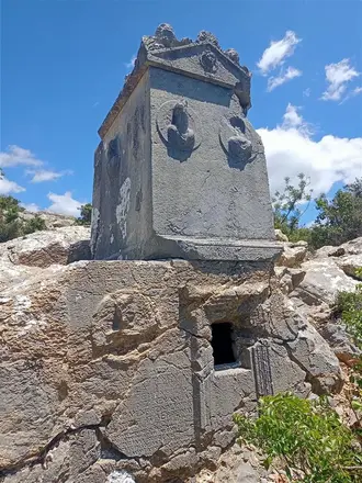
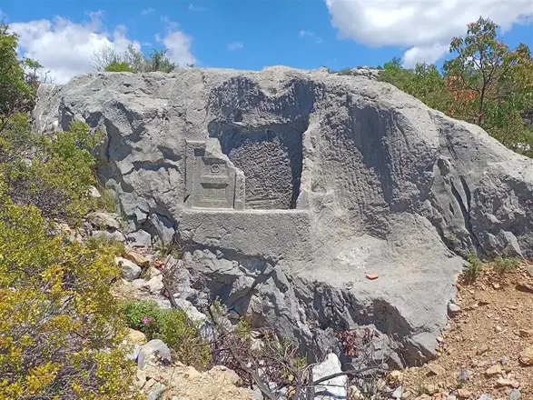
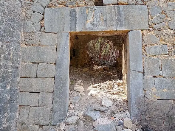
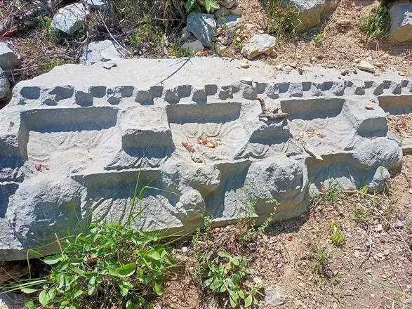
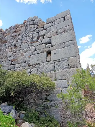
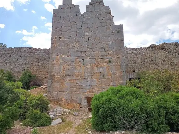
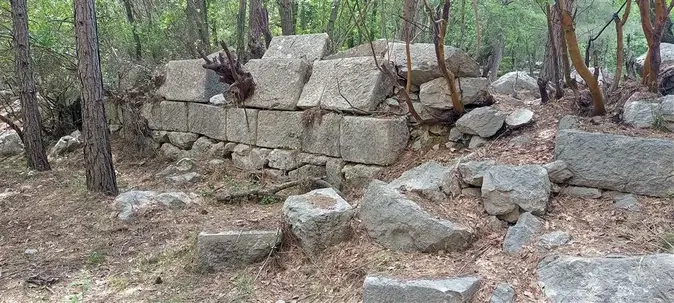
Lamus is 55 kilometres east of Alanya, 2 kilometres north of the village of Adanda. The city is built on two hills forming the summit of a high and steep mountain. It is understood from the inscription on the entrance gate of the city that the western hill was surrounded by walls during the reign of Gallienus in the middle of the 3rd century AD.
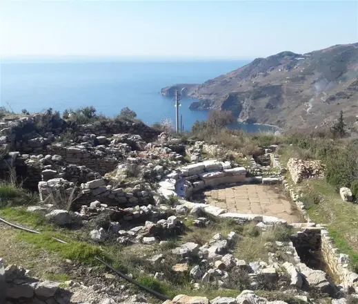
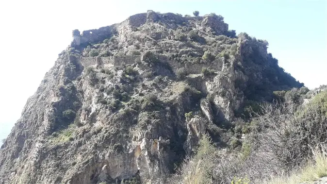
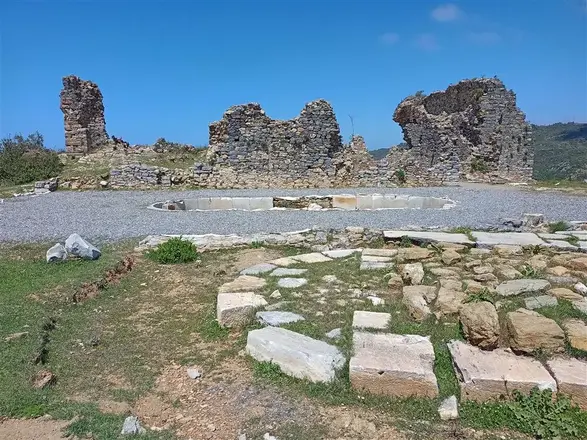
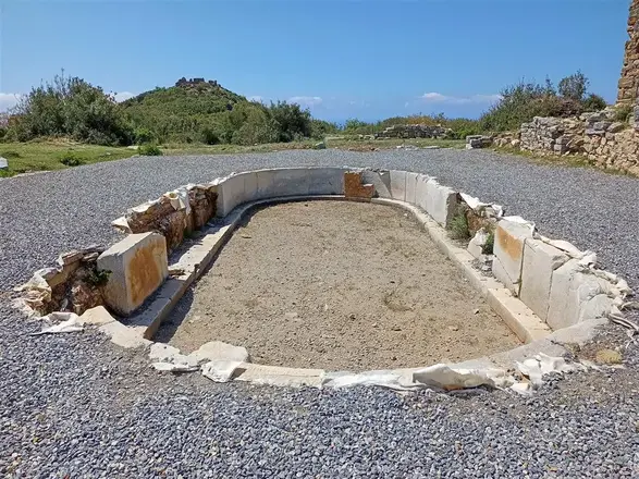
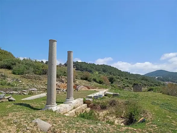
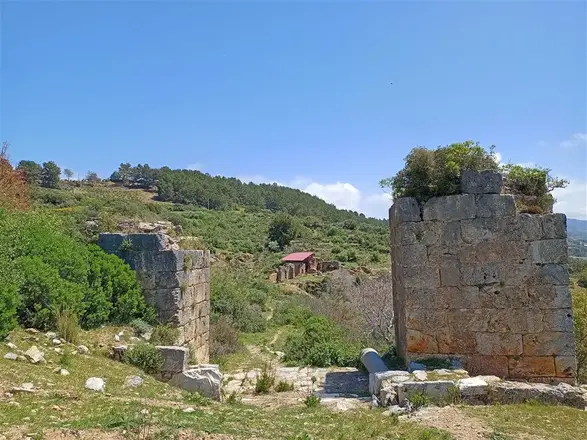
Antiocheia ad Cragum is an ancient city near Gazipaşa district of Antalya province. It is 60 kilometres east of Alanya. It is on the Mediterranean coast in the region known as Mount Cilicia in ancient times.The city is named after Antiochus IV, King of Commagene, who lived in the 1st century AD.
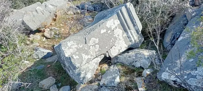
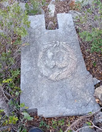
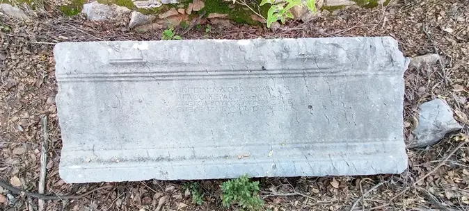
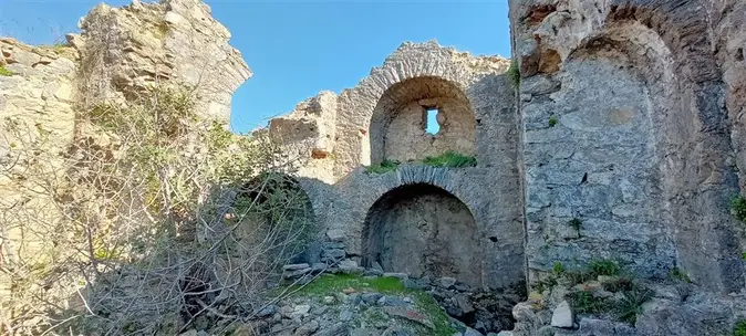
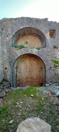
It is located 6 km southeast of Gazipasa District on a 350-metre rise, which is shown as Kilisetepe on the maps. The ruins are spread over an area of about 400 square metres. According to the inscriptions, it was localised as the ancient city of Cestrus.
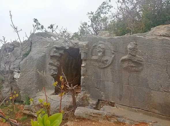
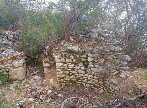
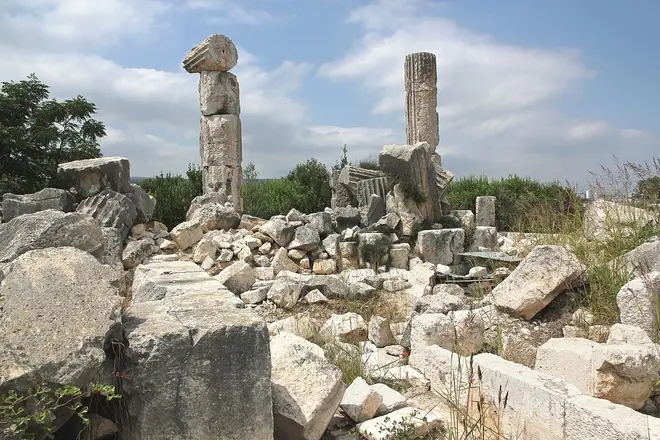
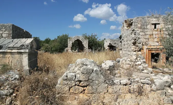
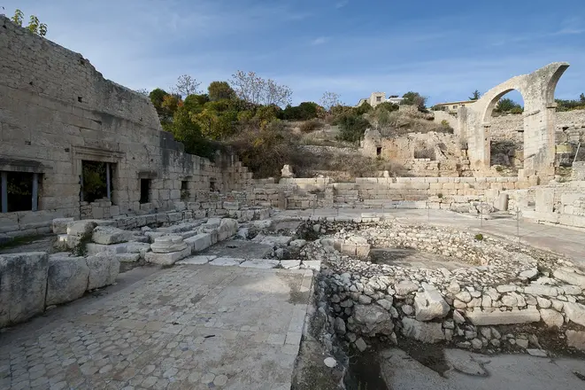
Elaiussa Sebaste is a small ancient Roman port city located 55 kilometres from Mersin. Elaiussa; means olive. In the 2nd century BC, Elaiussa was a port city at the crossroads of the Eastern Mediterranean. The existence of piracy at that time negatively affected commercial life. BC. From the 1st century onwards, after Elaiussa took the appearance of a city, it gained its freedom by getting rid of Olba domination.
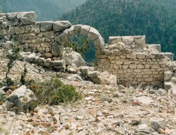
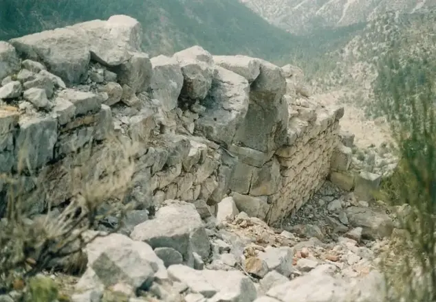
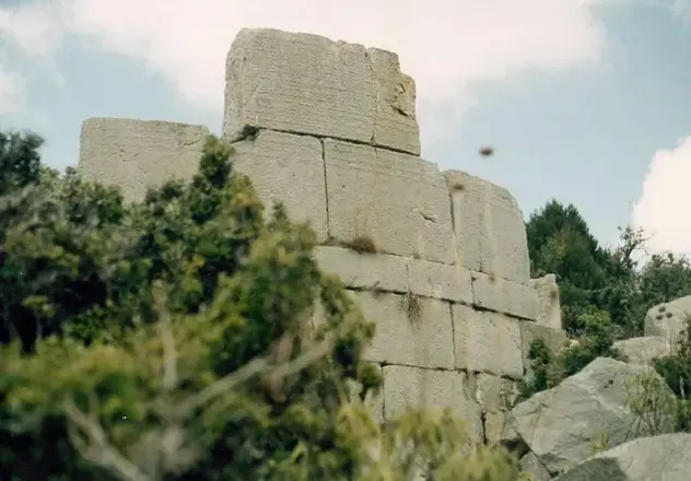
The sovereignty of the city of Kasai, built on a high hill near Karadere Quarter of Gündoğmuş District, extends at least to Güzelsu and Çaltılıçukur in the west. Therefore, we can say that Kasai was the fourth city that had rights to the lands of Akseki during the Roman Period.
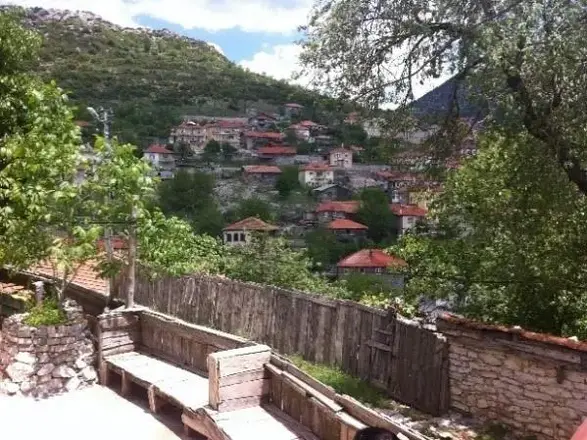
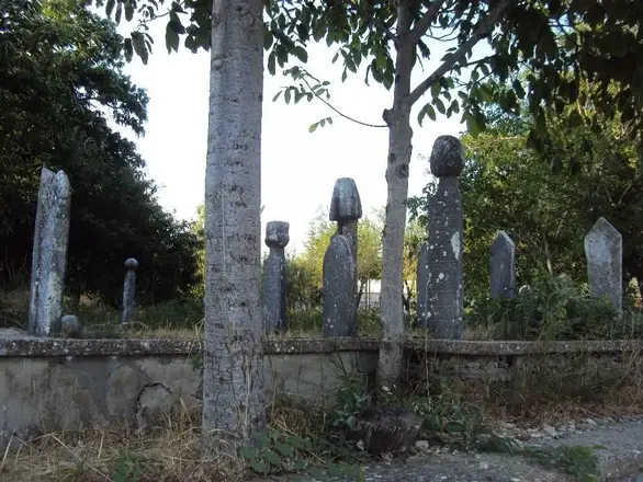
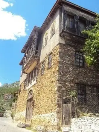
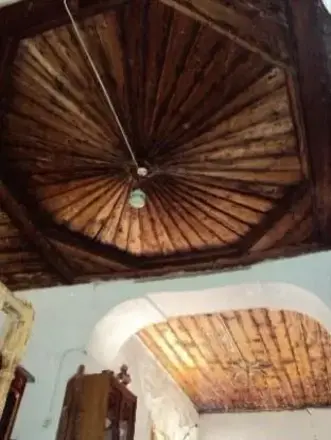
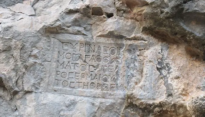
The exact date of the foundation of Ibradı, which is located within the borders of Psidia, is not known exactly. However, it is estimated that it dates back to the Roman period from the ruins found in and around Ibradı. For example, there are ruins of the Hellenistic Erymna Ancient City between Ormana Municipality, 2 km. away from Ibradı, and Ürünlü Village, 7 km. away. The necropolis of the city is on the rocky ridges surrounding Ormana.
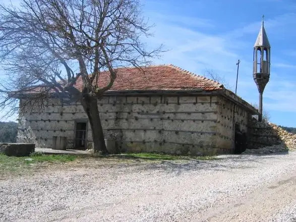
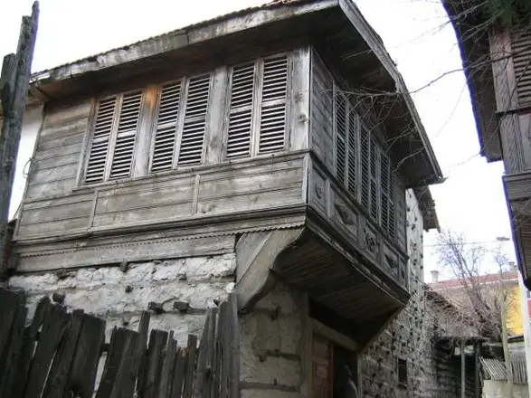
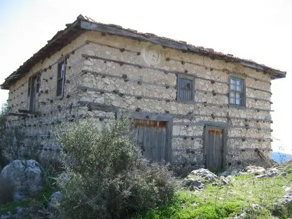
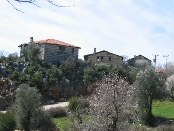
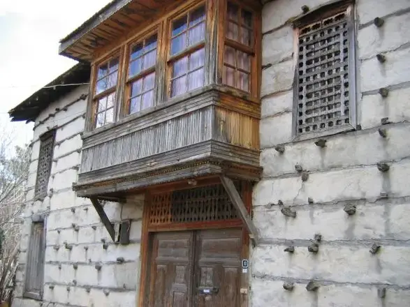
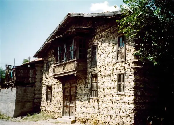
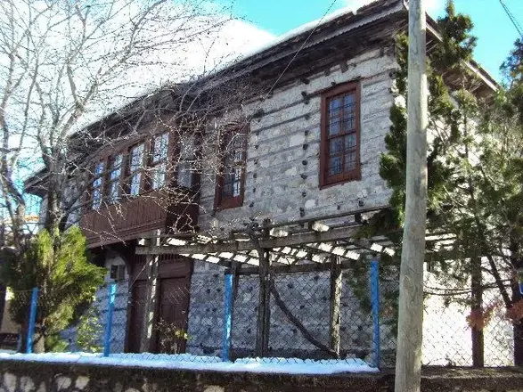
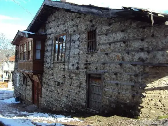
Ormana, built on the ruins of the city of Erimna, is a settlement where the "button house" architecture unique to the Ibradı region is seen.The history of Ormana dates back to the Roman Empire; "It is included in history books with the name Erimna. The city surrendered to Alexander the Great in 334 BC and lived under Persian rule from 223-212 BC.
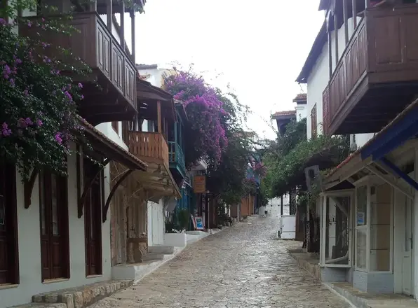
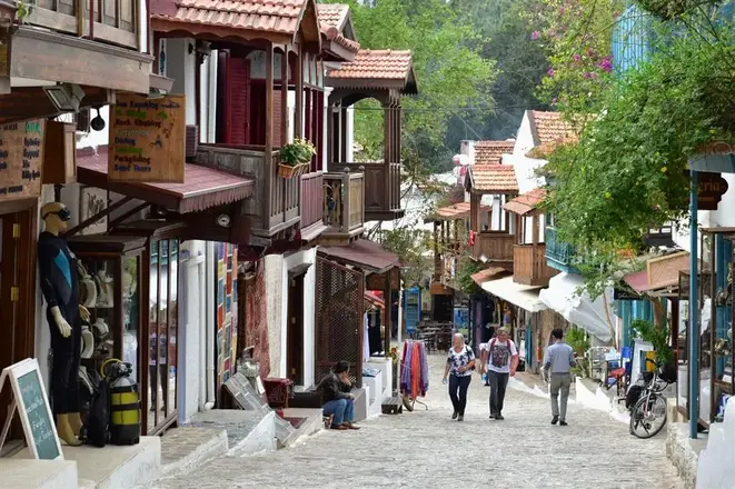
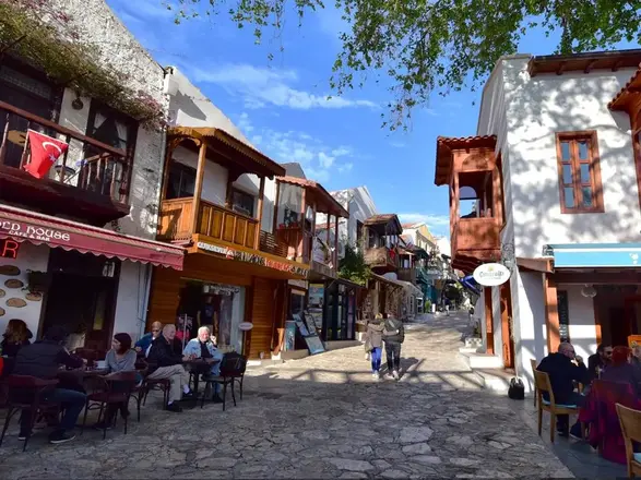
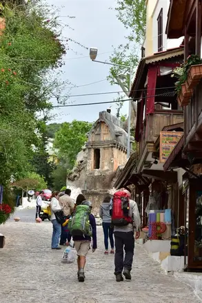
The structural situation within the Urban Protected Area seems to be quite good in terms of structural and façade qualities. Within the Urban Protected Area, new buildings with wooden bay windows and cantilevers that emulate the traditional building type are becoming increasingly common within the Urban Protected Area. The widespread use of this building typology by the decision of the Preservation Board is a situation that needs to be questioned in terms of the principles of the Venice Charter.
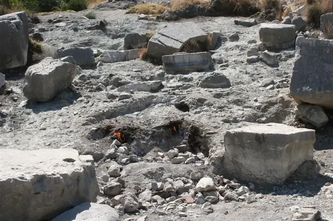
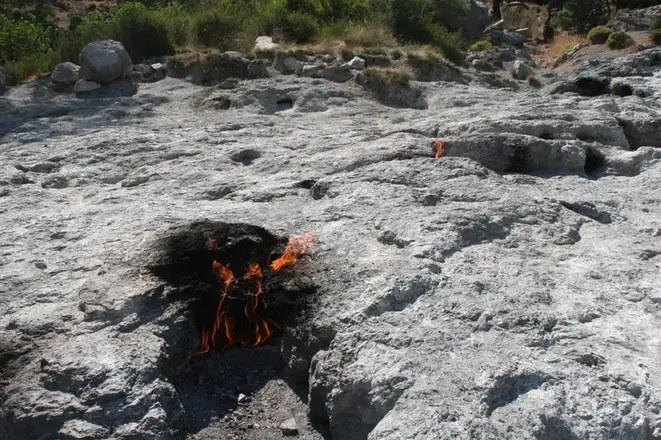
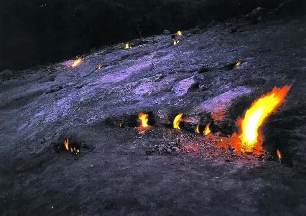
The Unquenchable Fire of Olympos: Yanartaş is a small, historical and touristic natural gas source near Çıralı village in Kemer district of Antalya. It is located in a scenic location close to the sea, the flames coming out of the stones attract the attention of tourists. It has been burning for 2500 years, it has also been the subject of Greek mythology.
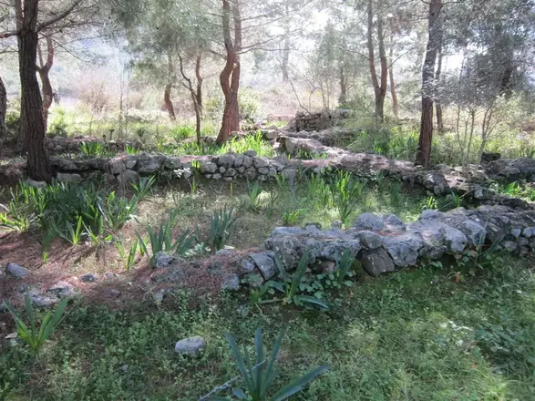
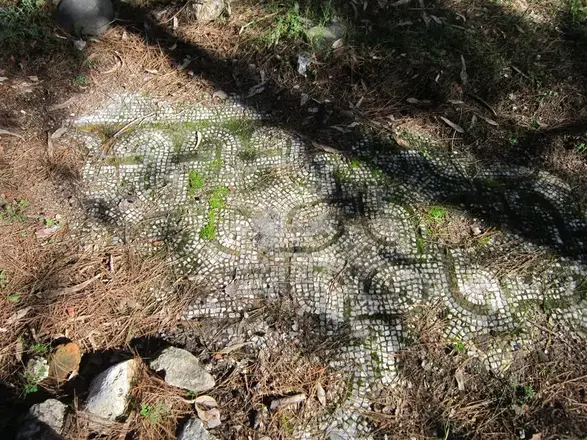
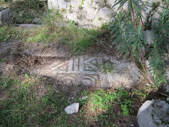
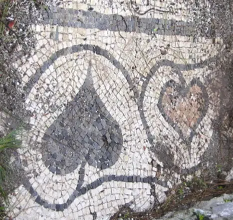
The ancient city of Idyros is located within the borders of Kemer district of Antalya province. The city has not been mentioned much either in ancient sources or by contemporary authors.
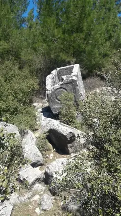
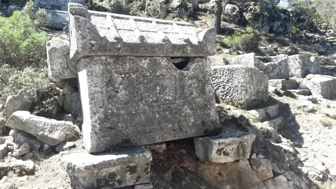
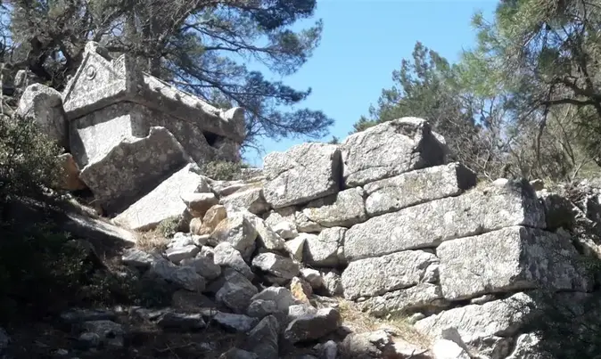
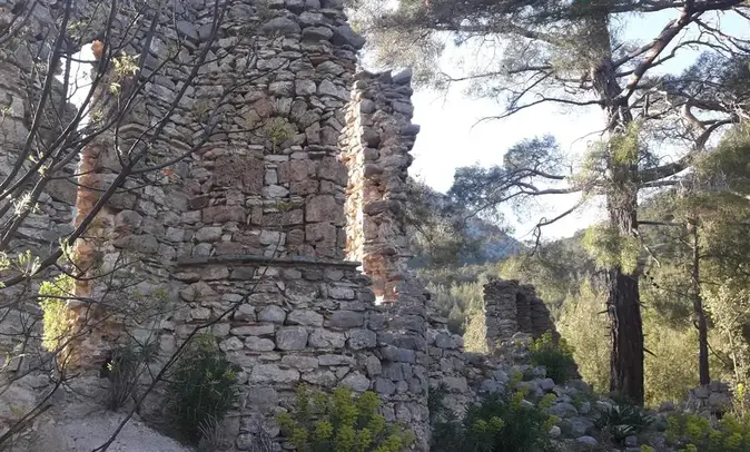
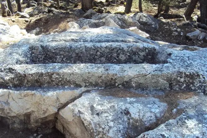
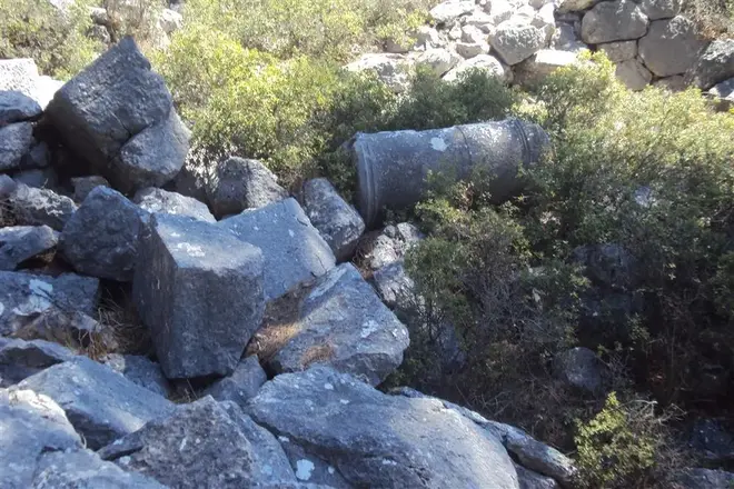
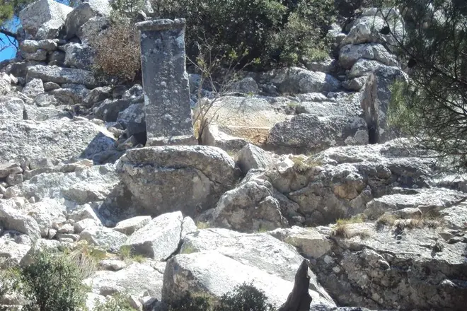
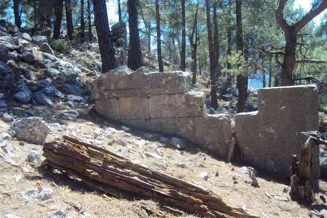
The ancient city of Kelbessos is located in the Alımpınarı neighbourhood of Konyaaltı District of Antalya Province, approximately at the 34th km of the Saklıkent road. The remains of sarcophagi belonging to the city can be seen close to Ahırtaş. It is located on the hill called Yelli Pear Ridge. Sarı Göynük Strait is located to the south and Konyaaltı - Saklikent road to the north.
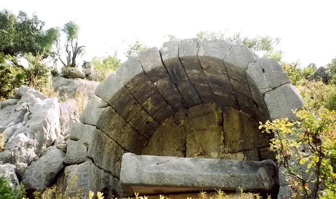
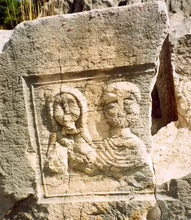
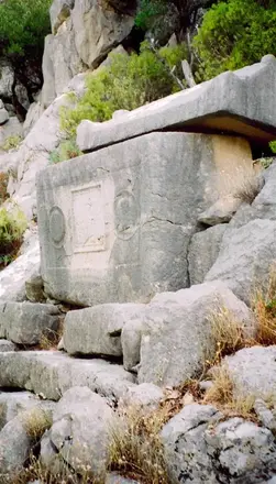
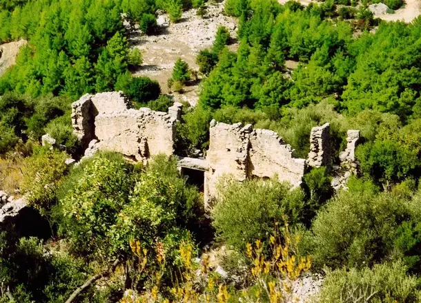
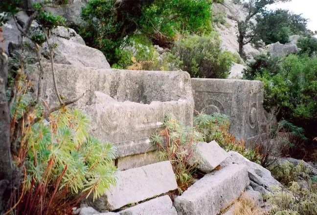
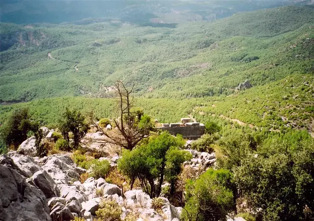
The ancient city of Neapolis is located on the Roman road from Antioch (Yalvaç) to Lyconia and Pamphylia, north of Lake Beyşehir. It is known that Neapolis was colonised by Thracian colonists at the same time as Apollonia (Uluborlu).
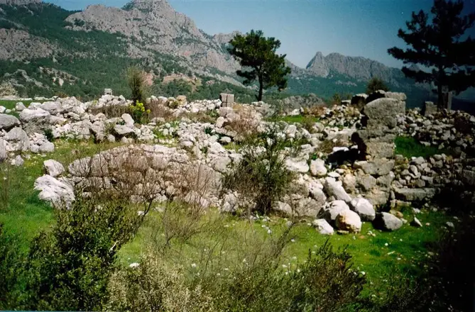
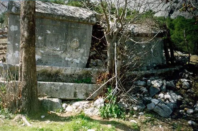
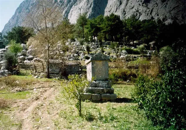
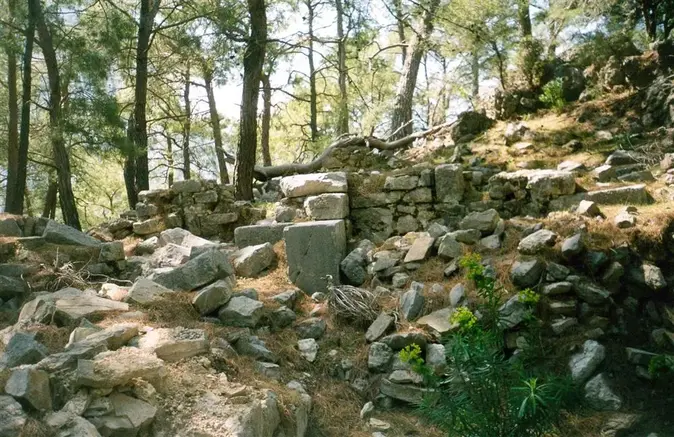
Onobara Ancient City is located in a region within the borders of Konyaaltı in Antalya. The ancient city, popularly known as Asarlık Hill and located in the Hisarcık region in the southwest region of Çakırlar neighbourhood, is on the ridge at the southeast end of Deveboynu Hill. Discovered in 1892 for the first time by Rudolf Heberdey and Ernst Kalinka, there is very little information about the ancient city.
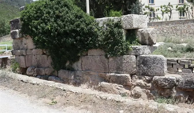
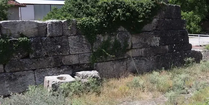
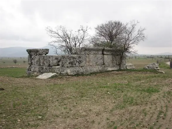
The ancient city, whose ancient name wasPoğla, is the ancient city of Pisidia, located in the south of Pisidia, in the Çomaklı village region of today's Antalya-Korkuteli district. Poğla Ancient City was also an important grain production center during the Roman period.
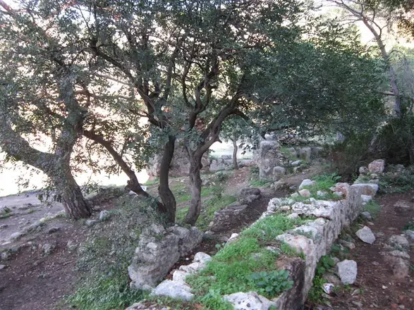
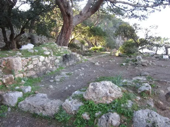
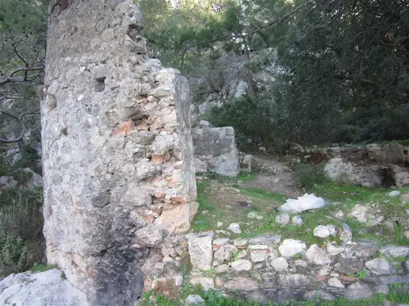
The ancient city of Melanippe, located in the Mavikent town of Antalya's Kumluca district, is situated on a peninsula 3 km. from Karaöz Bay. The importance of the city, which was a small coastal settlement under the sovereignty of Gagai since the Hellenistic Period, stemmed from the fact that it was a sheltered harbor serving other settlements around it.
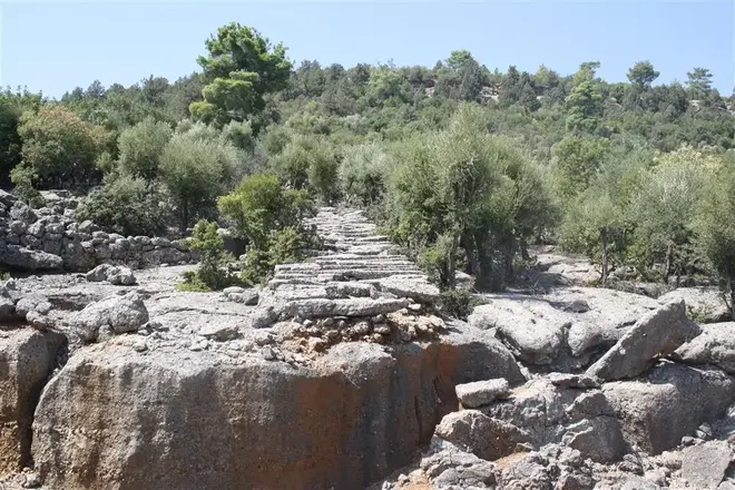
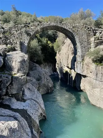
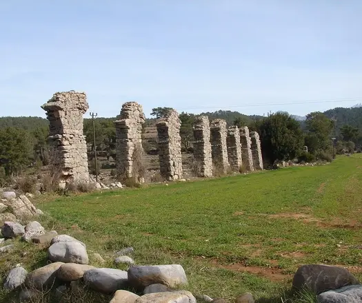
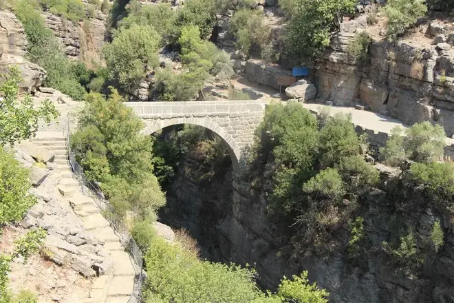
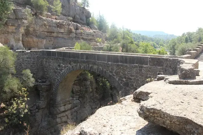
Köprüçay, formerly Eurimedon , is a river that originates in the Taurus Mountains near Sütçüler, Isparta and flows through narrow and deep canyons into the Mediterranean Sea near Serik. Its name was Eurymedon in ancient times. Köprü Stream has a basin area of 2.357 km2, an annual flow of 3065 hm³, a length of 178 km, a mouth elevation of 0 m (Mediterranean Sea), and a source altitude of 2.151 m.
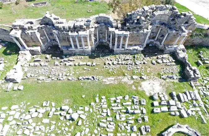
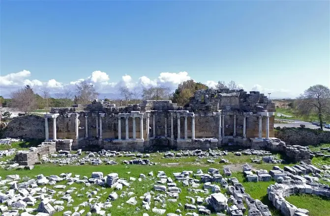
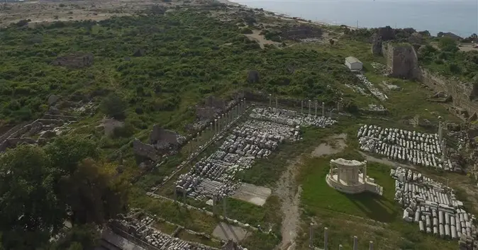
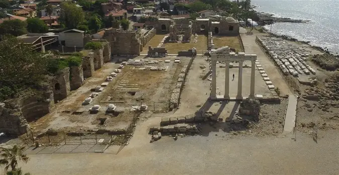
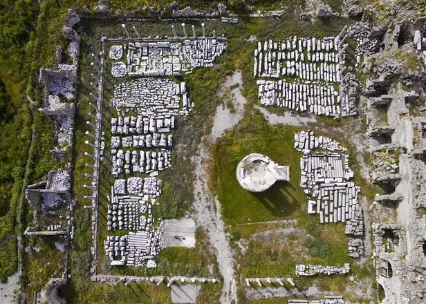
Side became a settlement center in the VII century BC. In the VI century BC, it came under the sovereignty of the Lydian Kingdom together with the whole Pamphylia, and after the fall of the Lydian Kingdom in 547/46, it came under the rule of the Persians. The city, which preserved its freedom to some extent during this period, minted coins in its own name. Side, which opened its doors to the Macedonian king without any resistance during the Anatolian campaign of Alexander the Great (334 BC), later became one of the great coin minting centers established by Alexander.
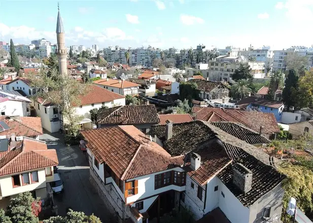
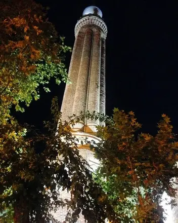
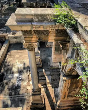
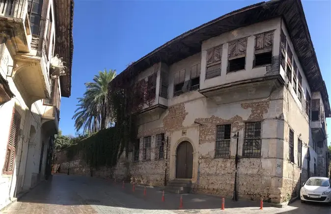
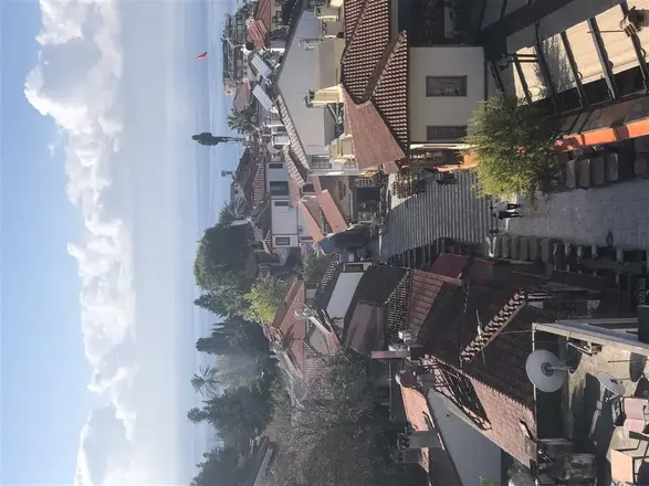
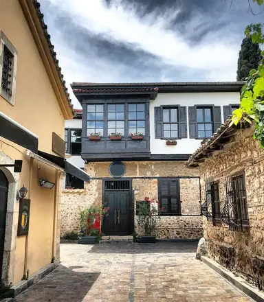
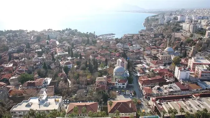
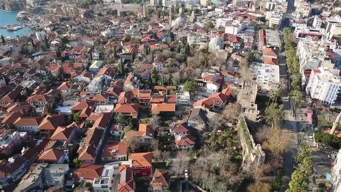
Attaleia-Antalya, which means "Home of Attalos", was founded by King Attalos II of Pergamon. After the end of the Pergamon Kingdom (133 BC), the city remained independent for a while and then fell into the hands of pirates. It was annexed to Roman territory by Commander Servilius Isauricus in 77 BC and became a base for Pompeius' navy in 67 BC. Hadrian's visit to Attaleia in 130 A.D. led to the development of the city.
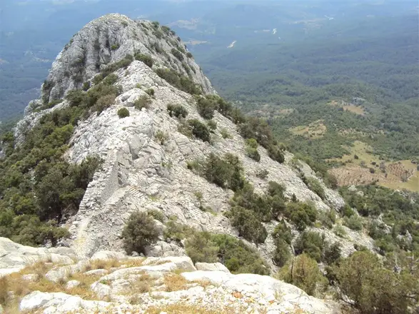
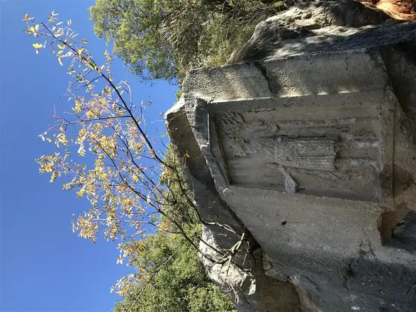
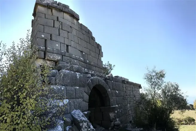
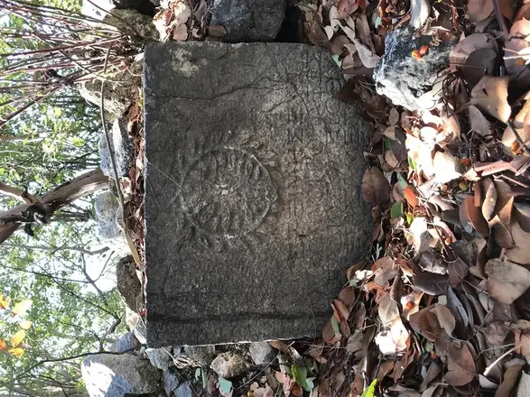
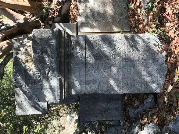
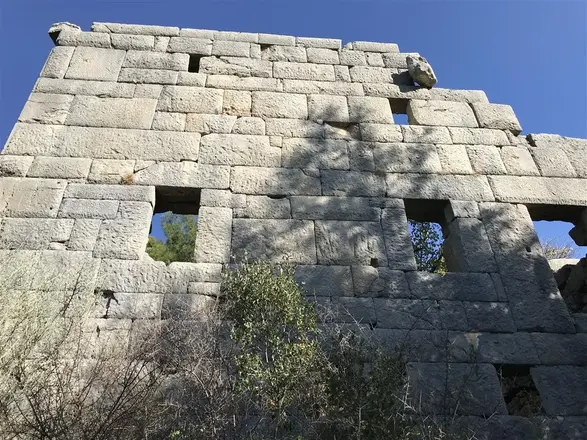
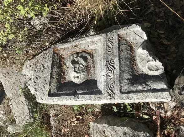
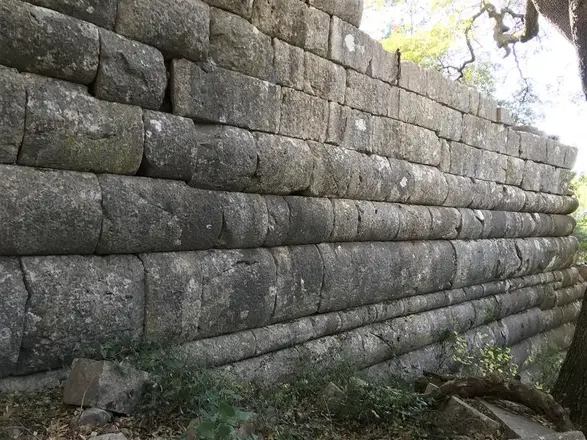
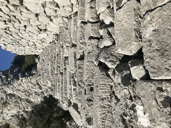
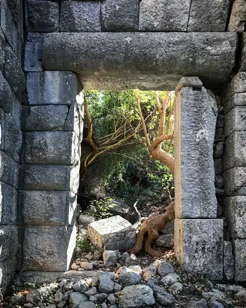
It is located 1 km east of the Kozan Village of our district and on the southern and western slope of a hill known as Bodrumkaya, at an altitude of approximately 650 m. The ruins at Bodrumkaya are located about 75 km northeast of Antalya. The site was first visited by Italian researchers in 1914 and introduced to the scientific world as the ancient city of Pednelissos.

