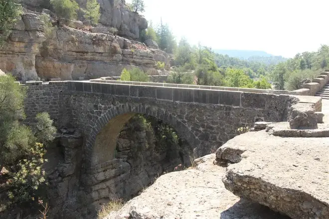
Köprüçay Region Archaeological Site
Description
Köprüçay, formerly Eurimedon (Greek: Εὐρυμέδων Eúrymédon), is a river that originates in the Taurus Mountains near Sütçüler, Isparta and flows through narrow and deep canyons into the Mediterranean Sea near Serik. Its name was Eurymedon in ancient times. Köprü Stream has a basin area of 2.357 km2, an annual flow of 3065 hm³, a length of 178 km, a mouth elevation of 0 m (Mediterranean Sea), and a source altitude of 2.151 m.
The river is fed by karstic springs. Ayvalı stream and Karacahisar streams originating from Anamas (Güllüce) Mountain in the south east of Lake Eğirdir merge to form Köprüçayı. It also receives Kocadere and Sağırini streams in its lower parts. First, the water flowing in the wide valley enters the narrow canyon in Bolhasan village. It meanders through the Serik plain and flows into the Mediterranean Sea.
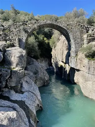
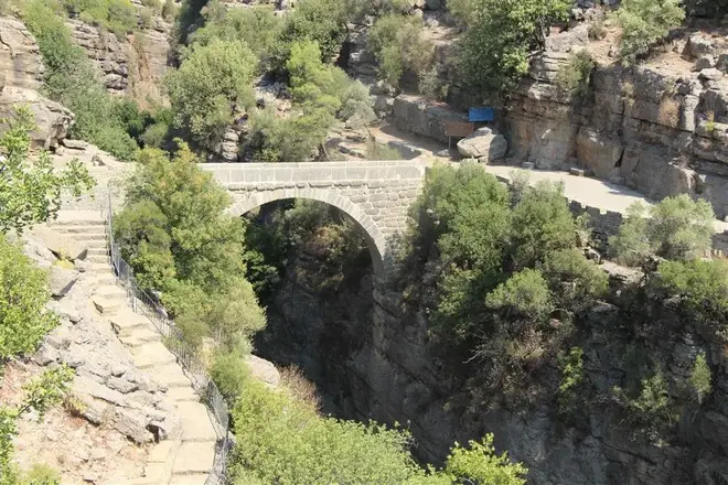
There are two ancient bridges over the stream. The gutter bridge is a Roman structure thought to be from the 2nd century. The bridge is important because it connected the ancient cities of Selge and Pednelissos of Pisidia and Aspendos and Side of Pamphylia. The bridge gave its name to the river and the canyon.
There is another bridge connecting the cities of Aspendos and Side in the lower reaches of the river: Belkıs (Köprüçay) bridge. It has seven arches, the largest of which is 17 meters high. It was built in the 4th century by the Romans. It was destroyed by earthquakes and floods in the following centuries and was rebuilt by Alaaddin Keykubat I in 1219 - 1236.
Short Description
Köprüçay, formerly Eurimedon , is a river that originates in the Taurus Mountains near Sütçüler, Isparta and flows through narrow and deep canyons into the Mediterranean Sea near Serik. Its name was Eurymedon in ancient times. Köprü Stream has a basin area of 2.357 km2, an annual flow of 3065 hm³, a length of 178 km, a mouth elevation of 0 m (Mediterranean Sea), and a source altitude of 2.151 m.

