Kitanaura Ancient City
Description
Kitanaura is an important ancient settlement located on the hills and slopes north of Saraycık Mevkii within the borders of Gölcük Quarter of Kumluca District. The ruins of the ancient city were first localized as Apollonia by Spratt and Forbes who visited the site in 1842 and then as Mnara by A. J. Schönborn. However, according to the road route indicated on the Stadiasmus Patarensis (Patara Road Monument) found in Patara, it has become certain that the ruins in Saraycık belong to Kitanaura. According to Stadiasmus Patarensis, Kitanaura is 17-18 km from Idebessos and this settlement is within the sovereignty of Termessos.
Based on the coins with the legend Kita from the Hellenistic Period, it appears that Kitanaura minted coins during this period. Although there is limited information about the Roman Period, this city, surrounded by walls, was used until the Middle Ages. During the Byzantine Period, it was an important bishopric under the Metropolitan of Perge, as evidenced by the bishop lists and the Byzantine ruins in the city.
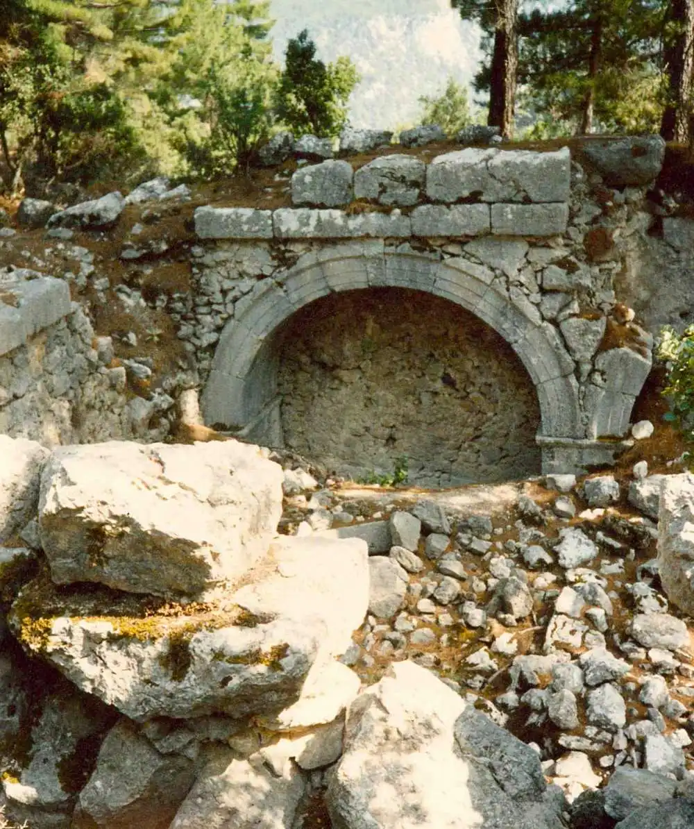
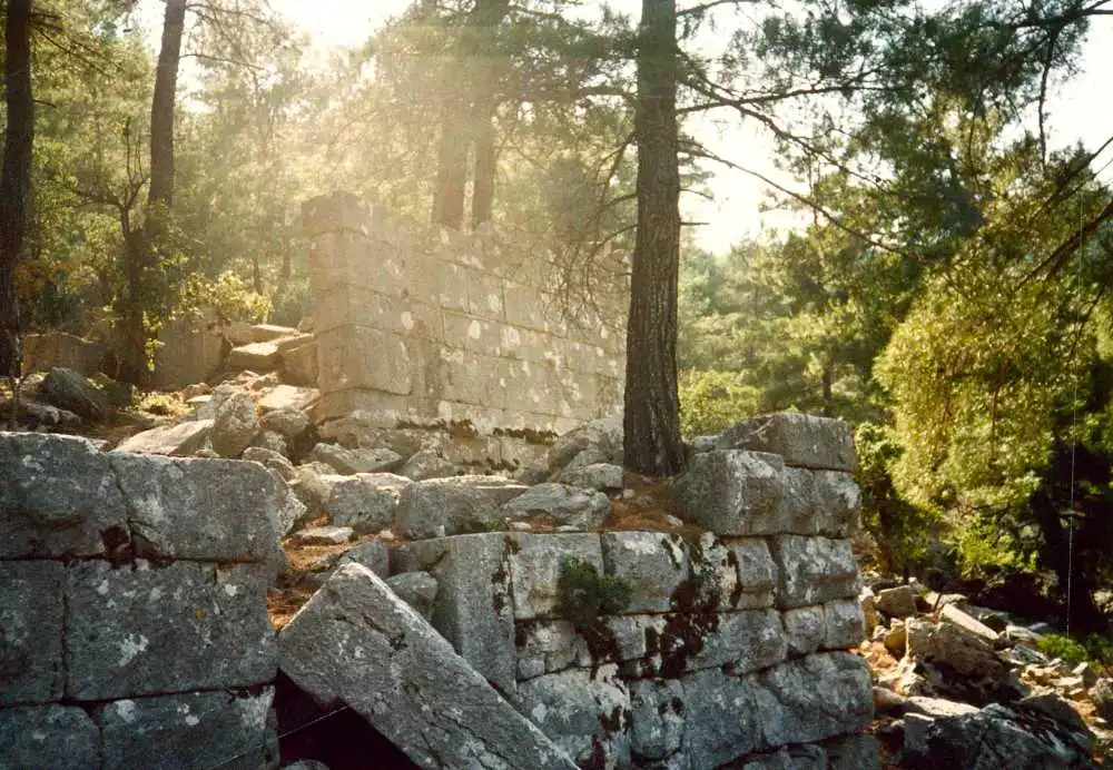
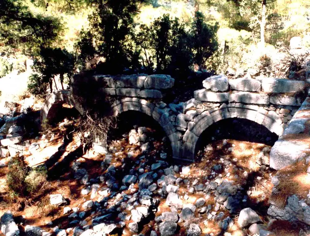
The ruins are located on the acropolis extending in the east-west direction and along the southern and western skirts of the acropolis and the forest road. The acropolis, which is 1300 meters above the sea and surrounded by walls, is entered through three gates. The main entrance is from the southwest. At the southwestern end of the acropolis there are the remains of a basilica from the Early Byzantine Period. Important public buildings begin on the eastern border of the acropolis square. The Great Basilica has three entrances, a narthex, three naves, two column rows and an apse. Along the north side of the Great Basilica is a large rectangular cistern. This is the largest cistern in the city. The most important public building of the city is the baths. Located on the southwest side of the acropolis, just adjacent to the forest road, the bath consists of 7 sections and extends in a north-south direction. Some sections are preserved up to the roof level. The apodyterium (undressing-dressing) section of the bath is quite impressive with its arched niches. The wall extending towards the hill opposite the apodyterium belongs to the aquaduct (aqueduct) that met the water needs of the baths.
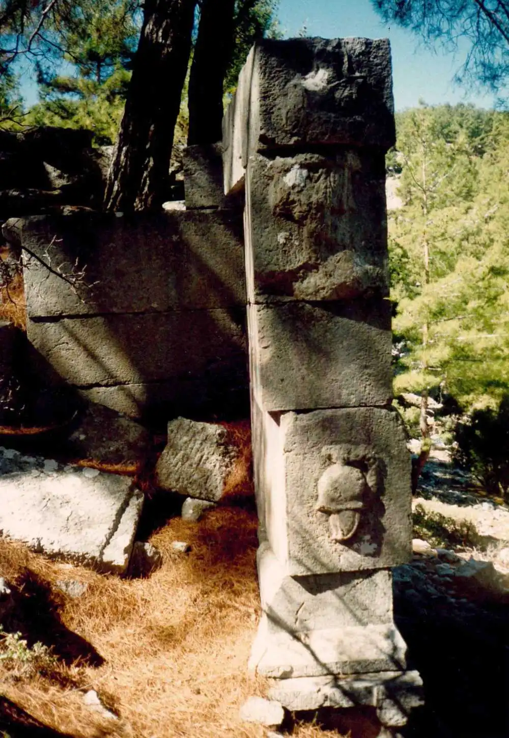
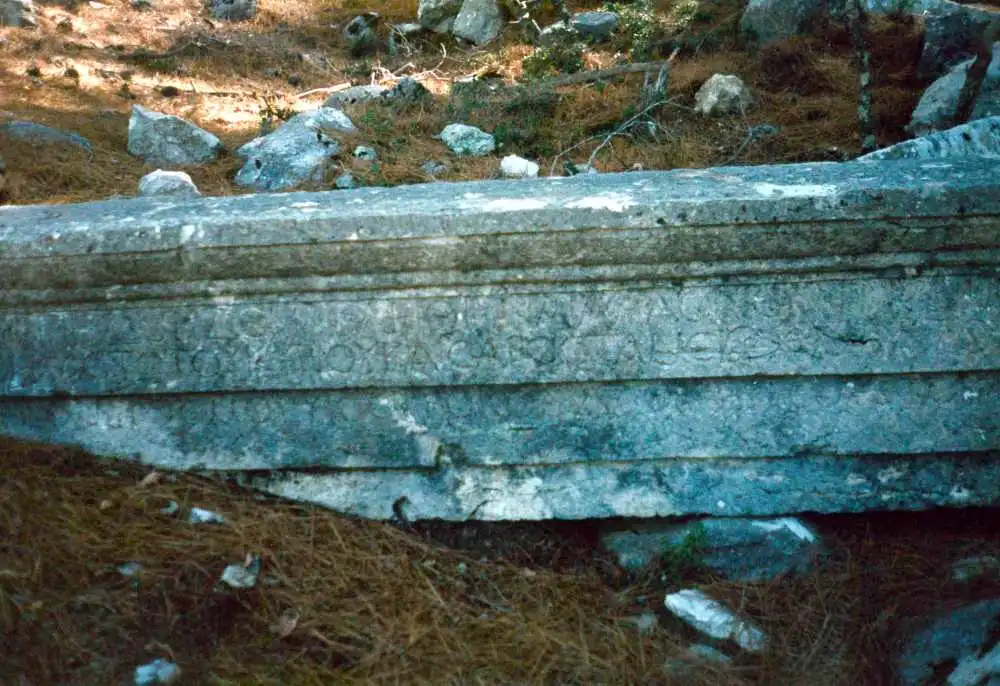
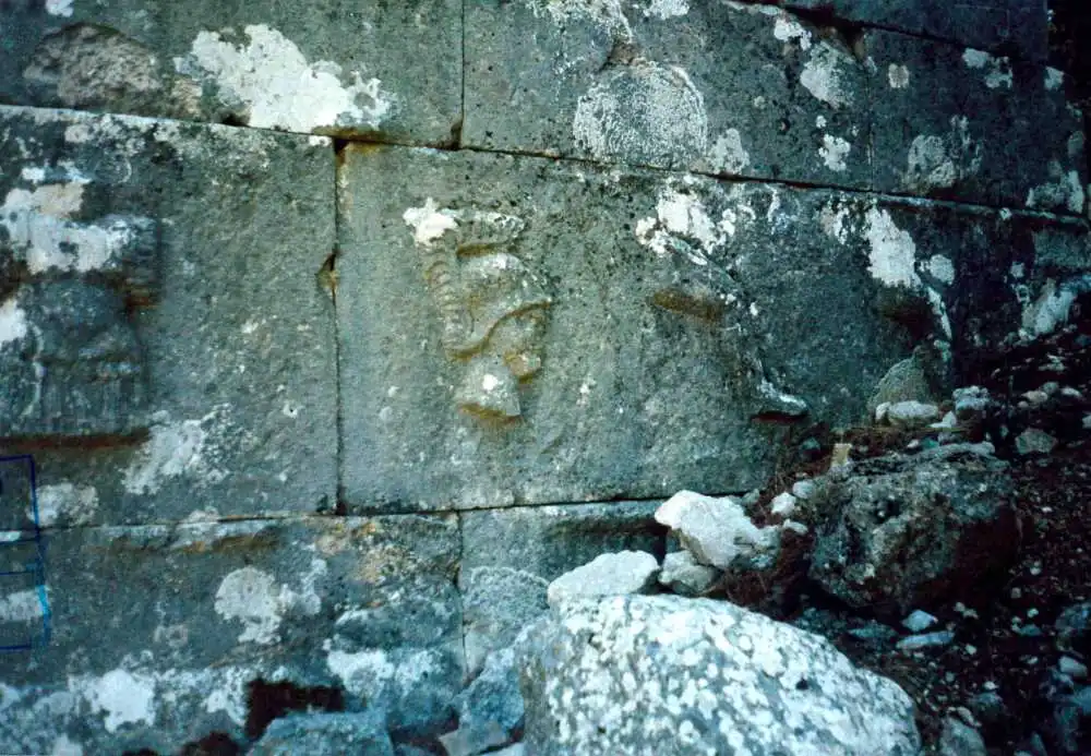
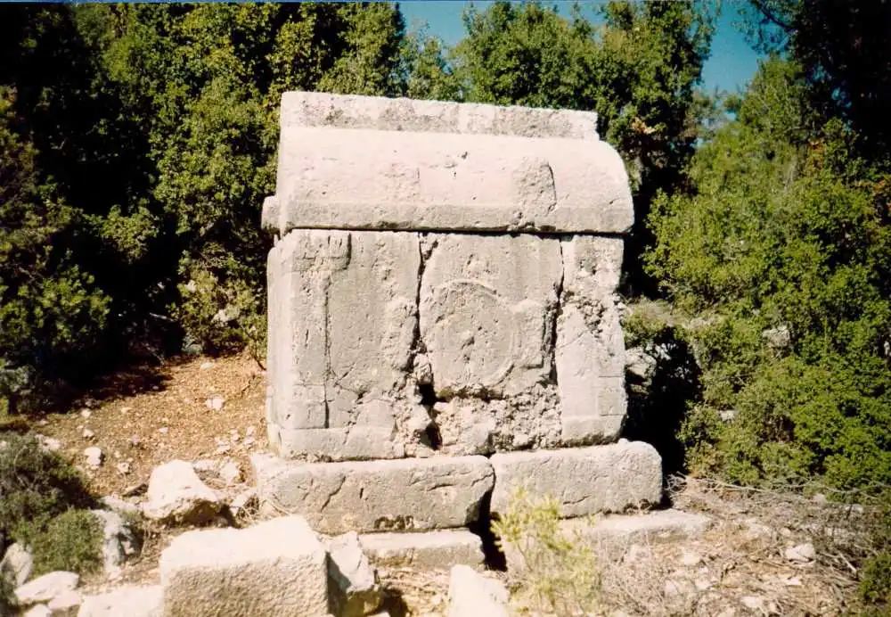
The forest road extending from the west of the acropolis to the north is lined with tombs on both sides. The most famous tomb known in the necropolis, where aedicula tombs, sarcophagi, khamosorion and ostotheks are dense, is Saraycık Heroonu. The tomb, which has survived to the present day in a very intact condition, has many reliefs of military clothes and weapons on the orthostats on the podium and on the facades of the ante walls.
Short Description
Kitanaura is an important ancient settlement located on the hills and slopes north of Saraycık Mevkii within the borders of Gölcük Quarter of Kumluca District. The ruins of the ancient city were first localized as Apollonia by Spratt and Forbes who visited the site in 1842 and then as Mnara by A. J. Schönborn. However, according to the road route indicated on the Stadiasmus Patarensis (Patara Road Monument) found in Patara, it has become certain that the ruins in Saraycık belong to Kitanaura. According to Stadiasmus Patarensis, Kitanaura is 17-18 km from Idebessos and this settlement is within the sovereignty of Termessos.

