Olympos Ancient City
Description
Olympos is the second most important port city after Phaselis on the southern coast of Antalya. The city takes its name from the 2,375 meter high Mount Tahtalı, one of the western extensions of the Taurus Mountains, 16 kilometers north of the city. It is within the Beydağları-Olympos National Park. Although the exact date of its foundation is unknown, Olympos, mentioned in the coins of the Lycian League minted in 167-168 BC, is one of the six cities with three voting rights in the Lycian League.
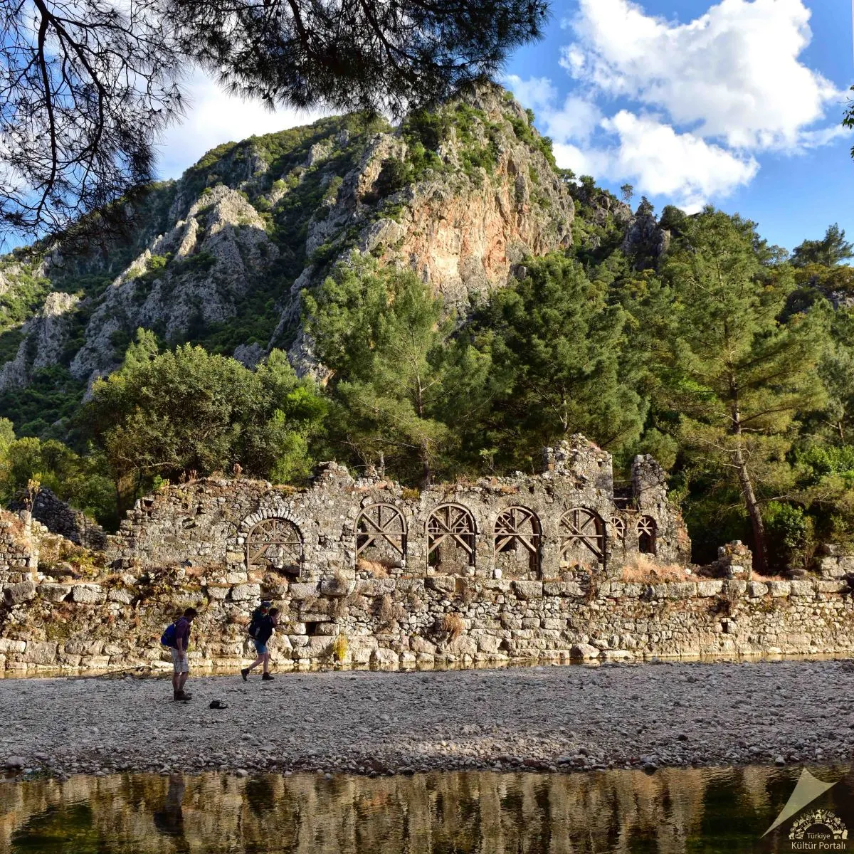
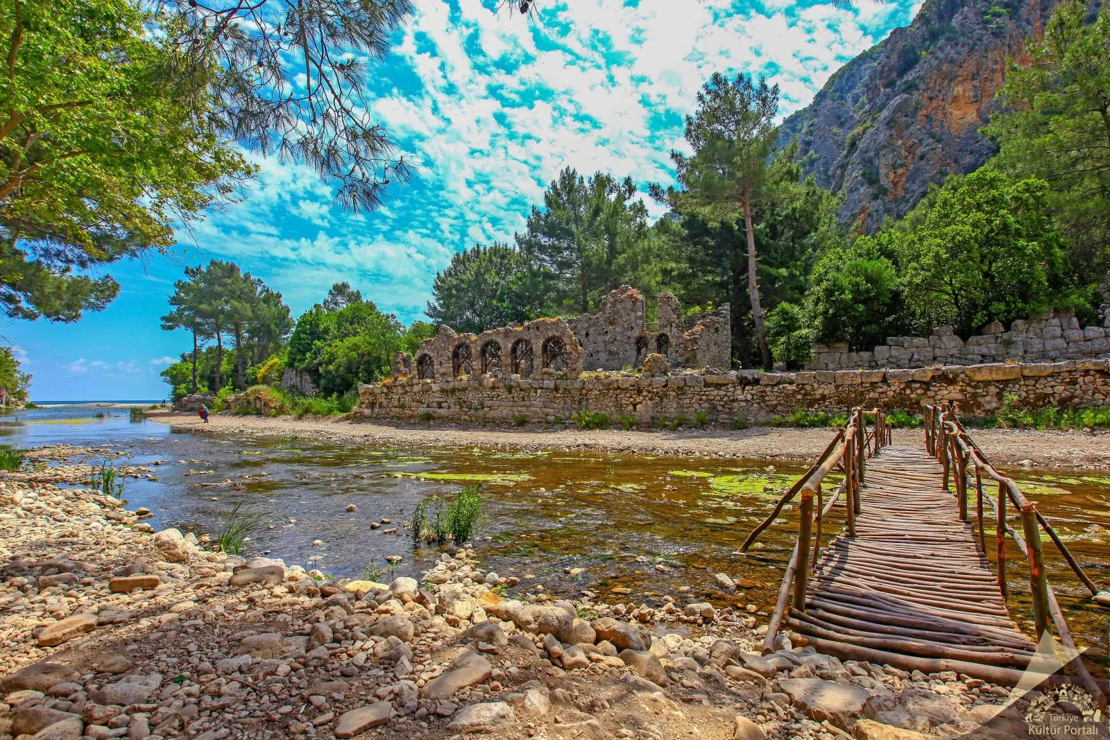
Together they represented the birth of Lycia. Most of the ruins of the city that have survived to the present day are covered with trees and bushes in the forest and belong to the Hellenistic, Roman and Byzantine periods. The surviving ruins of Olympus are generally located at the mouth and on both sides of a river that flows rapidly from east to west towards the sea. In the ancient period, the river bed dividing the city into two parts was enclosed in a canal and both sides were connected by a bridge using it as a pier. Today, one leg of the bridge is still standing.
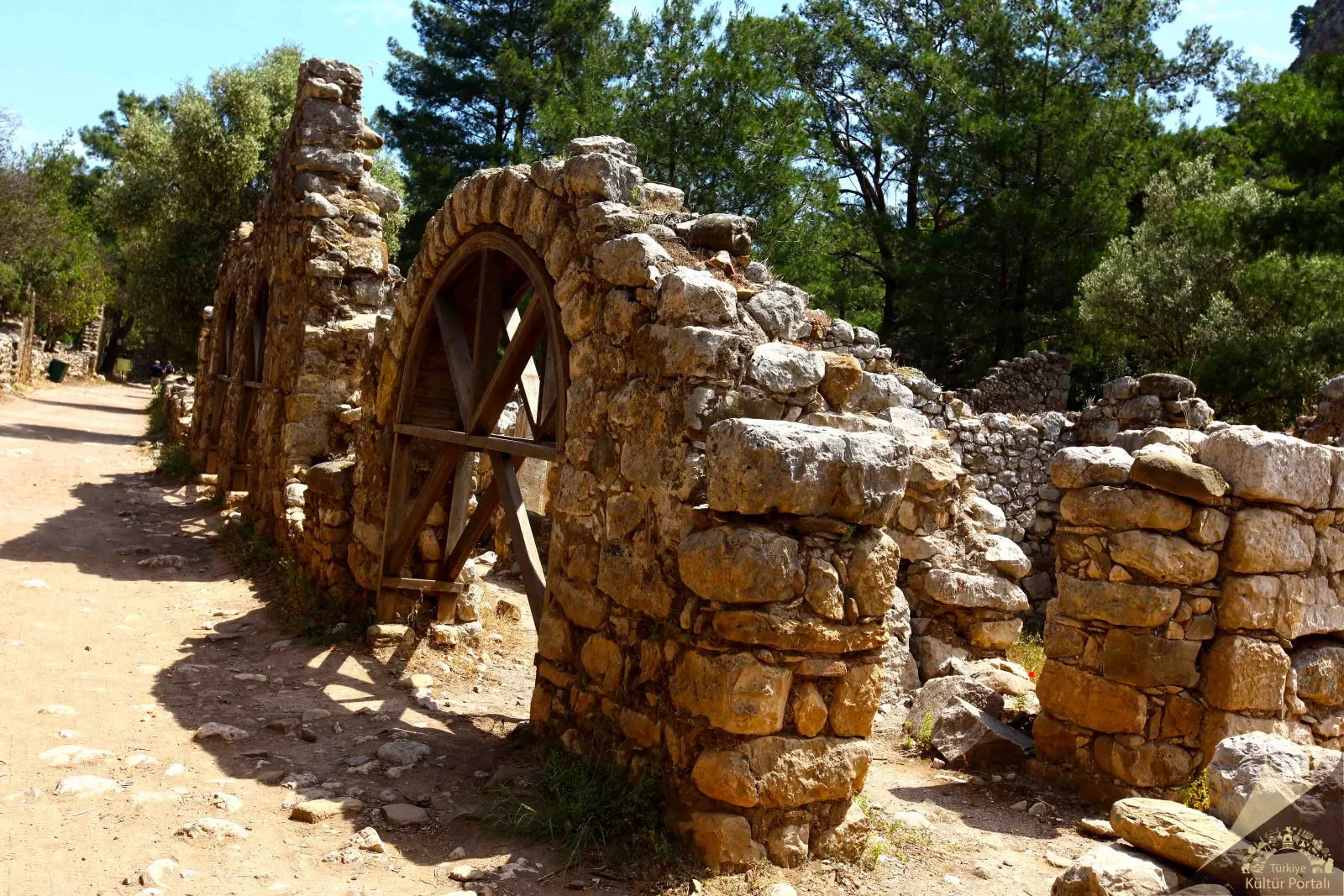
On the south bank, a polygonal wall from the Hellenistic Period and a section next to it, indicating Roman and Byzantine repairs, can be seen. Near the mouth of the river, on the small and steep acropolis, there are remains of later buildings. The small theater with Hellenistic foundation and Roman repairs on the south bank of the river is quite dilapidated, but one side of the entrance is well preserved.
Another important structure of the city is the temple gate located 150 meters west of the river mouth. It is understood from the architectural fragments that it belonged to a small Ionic temple and from the statue pedestal in front of the gate that it was built in the name of the Roman Emperor Marcus Aurelius (172-173 AD). The most interesting among the ruins is the sarcophagus of Captain Eudomus, unearthed during excavations carried out by the Antalya Museum. The sarcophagus, which is located in the rock cavity right next to the river mouth, is of great importance both because it gives the name of the captain in the poetic dedication inscription full of emotion and because the ship relief on its long side gives the shape of his ship.
To the east of Olympos, 300 meters from the coast, lies the settlement of Çıralı, famous for its magnificent sandy beach where caretta carettas lay their eggs and its coastal dunes where many plants live. A few kilometers southwest of the city, the southern slope of the hill known as Çakaltepe is constantly on fire. This natural phenomenon, which is especially impressive at night, is nothing but methane gas that has been reaching the earth from the same spot for centuries. This natural phenomenon was identified with the Lycian monster Khimaira, who was believed to breathe fire out of her breath, and thus Olympos became home to the Legend of Bellerophontes. In time, it was used as the cult center of the blacksmith god Hephaistos and as a religious center during the Roman and Byzantine periods. It is possible to see the original blocks of the sacred road and the foundations of some buildings around the flames. The Byzantine Church, whose interior walls are decorated with frescoes, is the most monumental ruin in the region.
Short Description
Olympos is the second most important port city after Phaselis on the southern coast of Antalya. The city takes its name from the 2,375 meter high Mount Tahtalı, one of the western extensions of the Taurus Mountains, 16 kilometers north of the city. It is within the Beydağları-Olympos National Park. Although the exact date of its foundation is unknown, Olympos, mentioned in the coins of the Lycian League minted in 167-168 BC, is one of the six cities with three voting rights in the Lycian League.
Together they represented the birth of Lycia. Most of the ruins of the city that have survived to the present day are covered with trees and bushes in the forest and belong to the Hellenistic, Roman and Byzantine periods. The surviving ruins of Olympus are generally located at the mouth and on both sides of a river that flows rapidly from east to west towards the sea. In the ancient period, the river bed dividing the city into two parts was enclosed in a canal and both sides were connected by a bridge using it as a pier. Today, one leg of the bridge is still standing.


