Saklıkent National Park
Description
Geological Structure
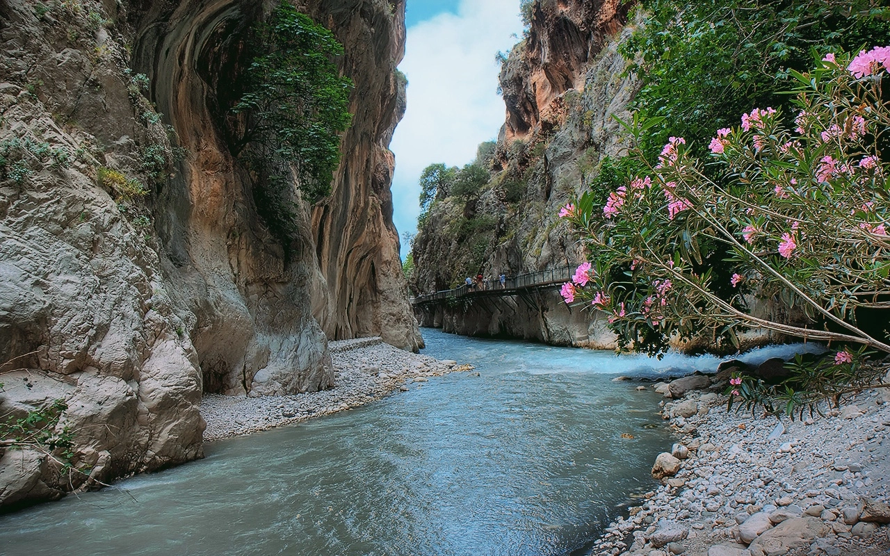
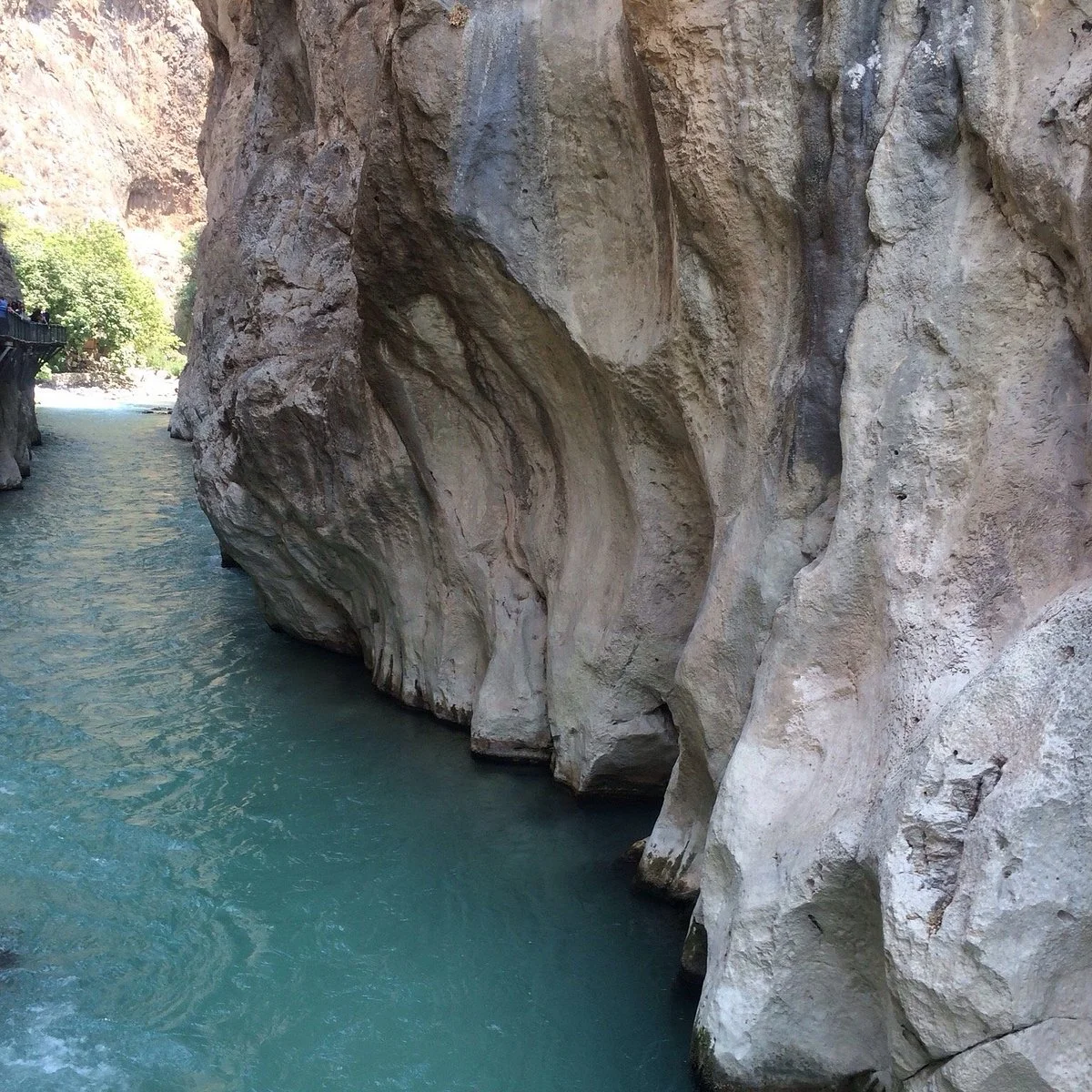
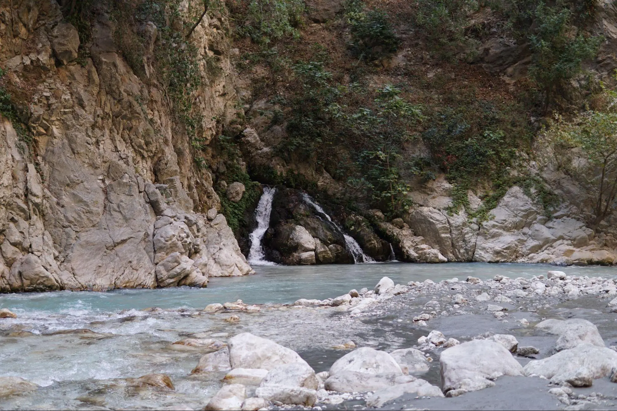
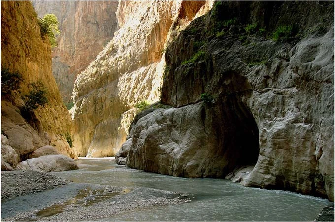
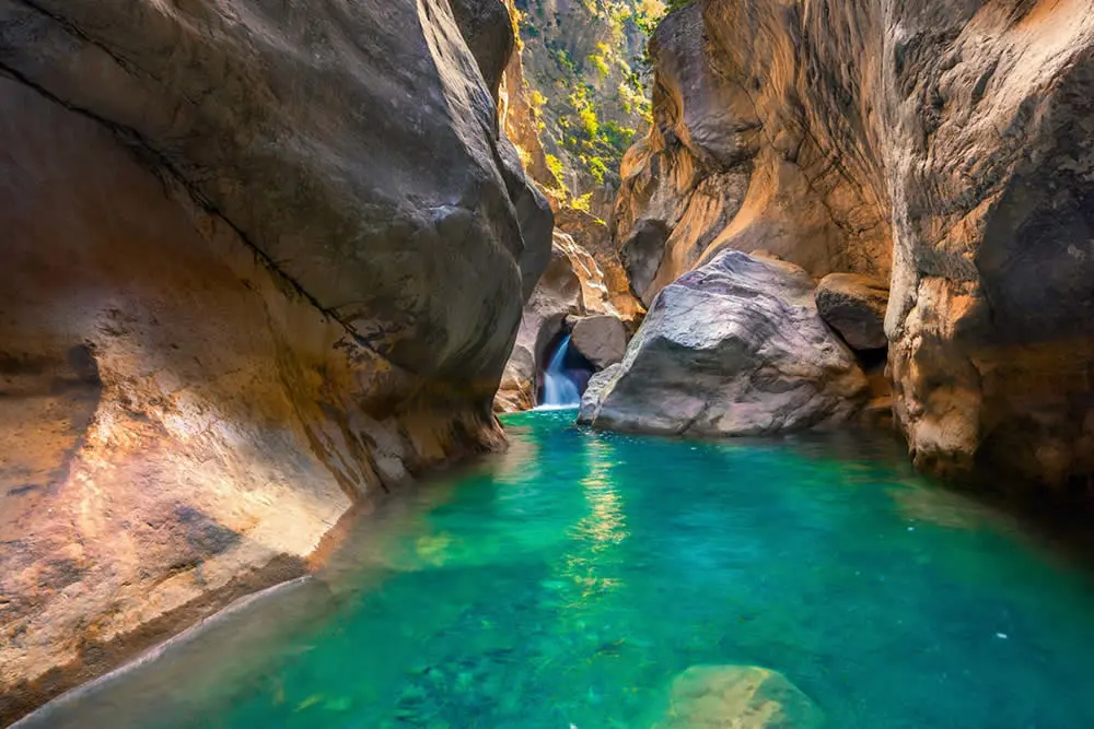
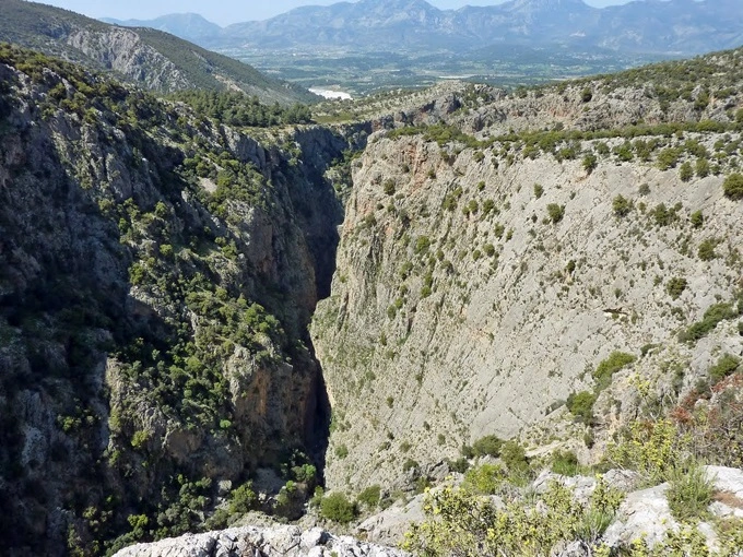
The main resource values of the national park are formed by the Saklıkent Canyon, which is 1000-1100 m. high and has very steep valley slopes. Especially in Saklikent Canyon, it is observed that some sections contribute to the formation of the canyon as a result of the collapse of karst tunnels.
FAUNA
Mammals Wild boar, Rabbit, Squirrel, Fox, Fox, Clumsy badger are the main mammals living in the National Park.
Birds: Hawk, red hawk, goshawk, partridge, titmouse, duck, goldfinch, goldfinch, bee-eater, snipe, ibibik, woodpecker, crested hoopoe, sparrow, crow, jay.
Reptiles Hedgehog Turtle, Snake and Lizard are the main reptiles living in the National Park.
FLORA
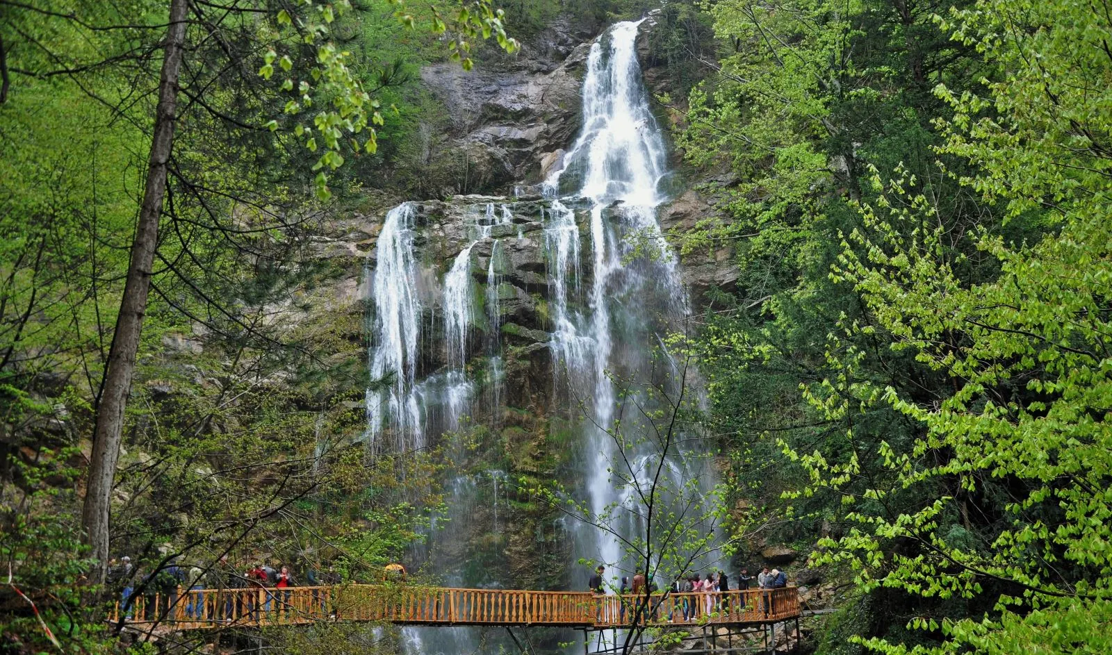
The forest formation in the national park consists of red pine, larch and cedar. According to the elevation of the geomorphologic steps in the area, these formations are respectively maquis, red pine, larch and cedar.
While red pine is widespread in the areas close to the canyon entrance, especially in the southeastern part of the national park, black pine in the zones above 1000 m, and monumental cedars in Dumanlıdağ and its immediate vicinity create impressive images. In addition, the southeastern part of the Aktar Plateau is the area where bulbous plants (duckweed) are endemically settled and grown.
CURRENT LAND USE
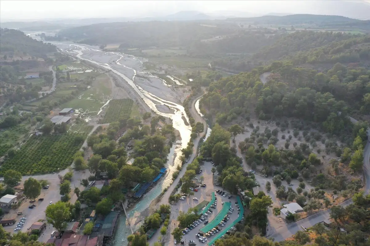
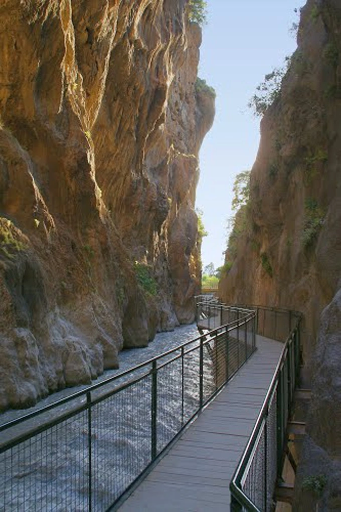
Within the National Park, there is a parking lot, toilets, country café, masjid, observation terrace, buffet, traditional sales units and walking platforms in the canyon.
PLACES TO SEE IN SAKLIKENT NATIONAL PARK
Forest Ecosystem,
Saklikent Canyon
Hiking Routes,
Girunublik Usage Area.
ACTIVITIES THAT CAN BE DONE IN SAKLIKENT NATIONAL PARK
Canyoning
Angling
Tent Camping,
Observation of Rich Vegetation and Geological Structure,
Nature Walk
Picnic
Orienteering,
Cycling Sport,
Photography is possible.
TRANSPORT
The distance of the National Park to the center of Antalya is 50 km. Saklıkent near Kayadibi Village, which is 45 km from Fethiye, can be reached by private vehicles, Saklıkent Dolmus departing from the center of Fethiye and also Saklıkent can be reached from the south by the Palamut village road from Kalkan- Yeşilova road junction and from the north by the Kemer road.
Short Description
The main resource values of the national park are formed by the Saklıkent Canyon, which is 1000-1100 m. high and has very steep valley slopes. Especially in Saklikent Canyon, it is observed that some sections contribute to the formation of the canyon as a result of the collapse of karst tunnels.

