Altınbeşik Cave National Park
Description
Geological Structure
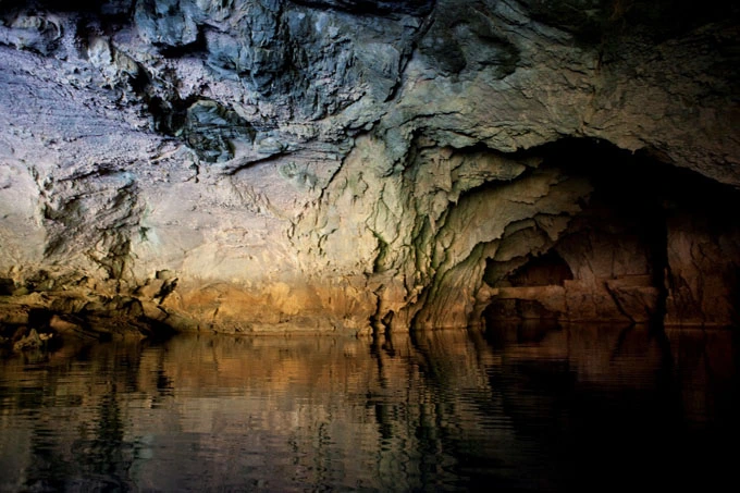
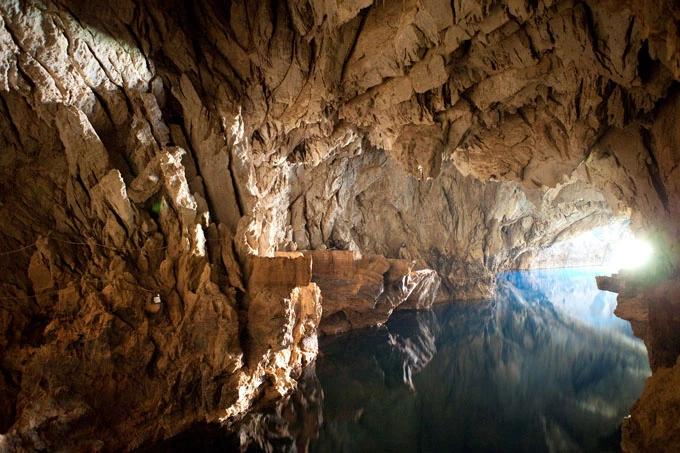
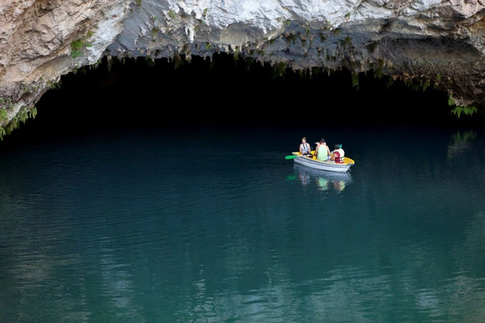
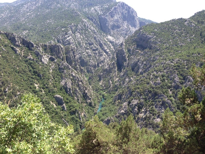
Altınbeşik Cave, which is a horizontal and partially active cave system, takes its name from the Altınbeşik Hill located at the top. This region of the Taurus Mountains has a very complex structure both geologically and geomorphologically. Severe folds in the mid-Tertiary were followed by severe vertical uplifts at the end of this period. Geologic overlaps, large fractures and deeply excavated valleys are the results of this active geologic past.Altınbeşik Cave was formed on fractures in Upper Cretaceous aged limestones. The cave developed in 3 levels on top of each other. The lowest and middle level is active during the rainy seasons, while the upper level is always dry.
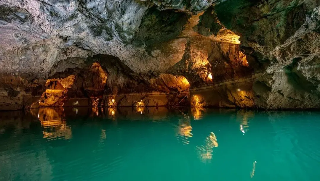
Altınbeşik Cave serves as a main underground stream where the waters of Eynif Polyesi and a number of smaller polyes in the vicinity are collected and discharged. In the fall there are many stagnant ponds within the cave. The sand and gravel deposits inside the cave and the cavities on the rocks indicate that there are strong underground streams flowing from the middle and lower levels in the spring.
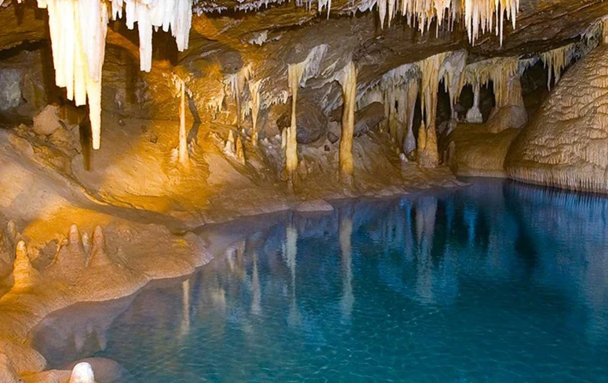
in the upper level of Altinbeshik Cave, which has completely lost its activity, rock blocks are noticeable at the base, as well as stalagmite and stalactite formations. The floor of the middle level is more like a stream bed. Here rock blocks cover large areas, sand and gravel deposits and travertine formations are observed. The first 200 m from the entrance of the cave is the lower level of the cave and it is constantly under water.
At the end of the lower level there is a 40 m steep exit. This exit and the adjacent walls are covered with thick white colored travertines. This is the most beautiful part of the cave.
FAUNA
Mammals As a result of the field studies conducted in the National Park, 19 mammal species were identified. Some of them are hedgehog, squirrel, mouse, wild boar, fox and bat.
Birds: As a result of bird observations made in Altınbeşik Cave National Park, 58 bird species were observed. Rock eagle, hawk, red hawk, kestrel and partridge are some of the species.
Fish Two fish species were identified in Manavgat Stream in the National Park. One of these species is Mountain Trout and is found naturally. The other species is Rainbow Trout.
Reptiles: As a result of the field studies conducted in the National Park, 11 reptile species were identified.
Some of these species are; Tortoise, Thin-fingered Lizard, Spiny Lizard, Slender Lizard, Taurus Lizard and Green Lizard.
FLORA
According to the results of floristic studies and literature surveys conducted in the area so far, 573 species and subspecies level taxa belonging to 84 families have been identified. Classic Mediterranean maquis vegetation is dominant in Altınbeşik Cave National Park. Cedar, juniper and red pine tree species are spread in and around the National Park. There are many flower species in the area.
CULTURAL AND ARCHAEOLOGICAL VALUES
The area where the cave is located and the area around the Manavgat River, where the water from the cave flows, has been home to ancient settlements throughout history, and many historical ruins in the surrounding area offer clues about human life from the past to the present.
An arrangement has been made for the use of visitors in the entrance area of the cave and there are seating groups, picnic tables, garbage bins, stone paved walkway and pergola in this area.
ALTINBEŞİK CAVE NATIONAL PARK LANDMARKS
Altinbeshik Cave
Manavgat Stream,
Forest Ecosystem,
Hiking Routes,
Daily Use Area.
ACTIVITIES THAT CAN BE DONE IN ALTINBEŞİK CAVE NATIONAL PARK
Observation of Rich Vegetation and Geological Structure,
Speleology,
Nature Walk
Picnic
Photography
Wildlife Observation,
There is the possibility of angling fishing.
TRANSPORT
Altınbeşik Cave National Park is 134 km from Antalya city center, 10 km from İbradı district and 36 km from Akseki district. The National Park is connected to the country's highway transportation network by Konya-Antalya highway. Ibradı-Derebucak-Beyşehir and Ibradı-Manavgat roads
Short Description
The area where the cave is located and the area around the Manavgat River, where the water from the cave flows, has been home to ancient settlements throughout history, and many historical ruins in the surrounding area offer clues about human life from the past to the present.

