Alanya Castle Urban, Archaeological Site
Description
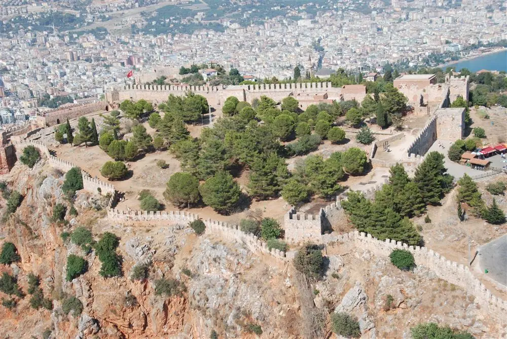
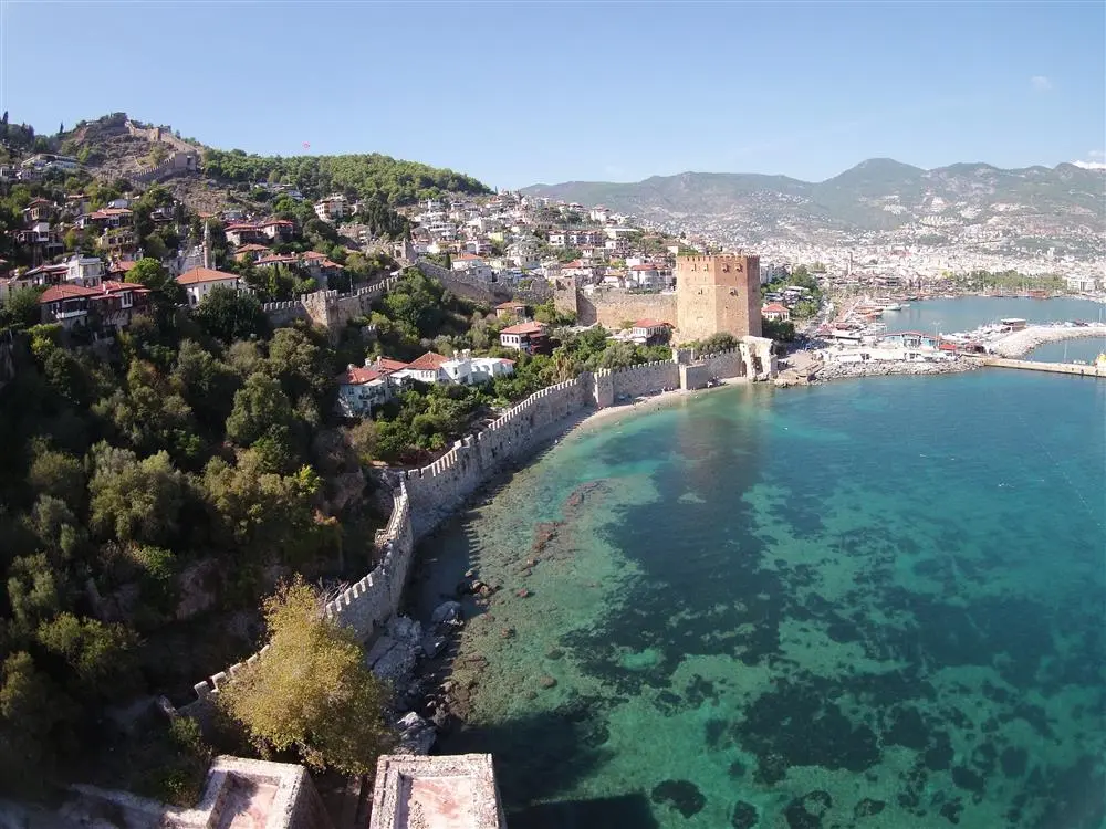
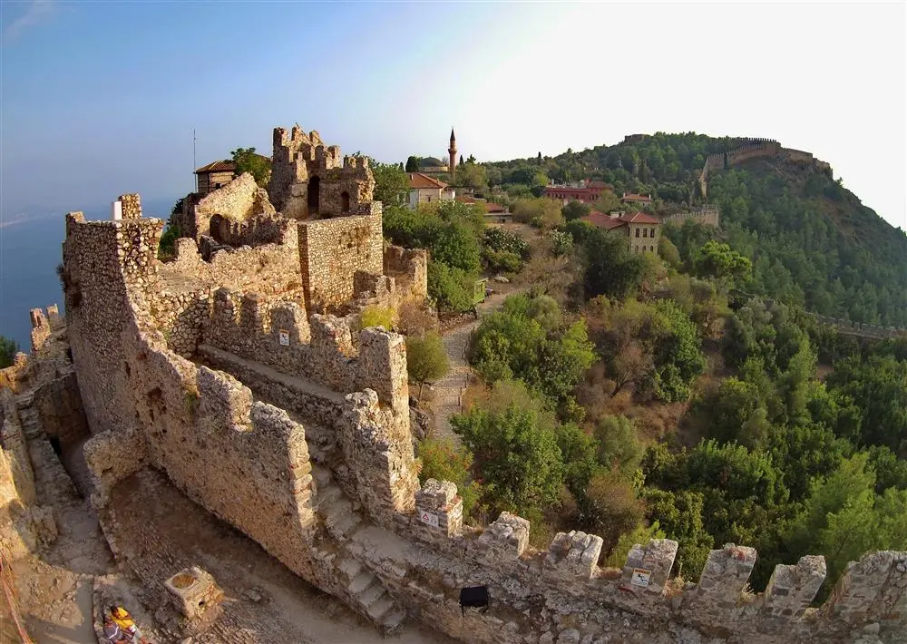
A 10-hectare peninsula surrounded by 6 km of ramparts Korakesion became a pirate port and centre in the second century BC as an ideal refuge for pirates and rebels, thanks to its natural ease of defence even with a small military force and its sheltered harbour. The Hellenistic fortification wall with large block stones and mortar in the part of the Middle Fortress from Arap Evliyası to Ehmedek dates back to the period of Diototos Tryphon, the ruler of the city in the second century BC.
In 65 BC, the pirate sovereignty ended with the Battle of Korakesion, which resulted in the victory of Pompeius of Rome. The city grows with the expansion of the city walls and the addition of new buildings during the Roman period. During this period, coins were minted in the name of emperors. Examples of coins can be seen in Alanya Museum.
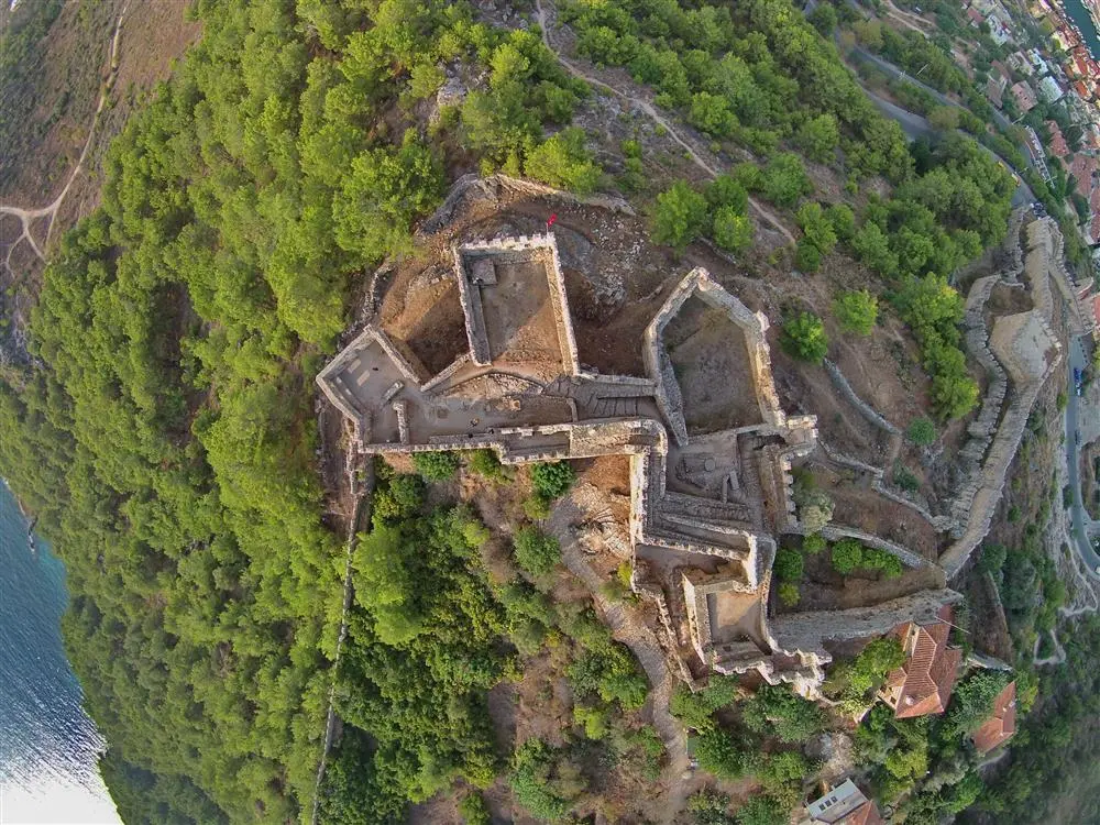
Alanya Castle; During the Byzantine period, under the name of Kalonoros (beautiful mountain), it became an important locating point for sailors and the busiest harbour of the Mediterranean. The church in İçkale, the Arab Evliyası, the ruins of the monastery on the Cilvarda promontory and the remains of the round-towered city walls from Orta Hisar to İçkale belong to the Byzantine period.
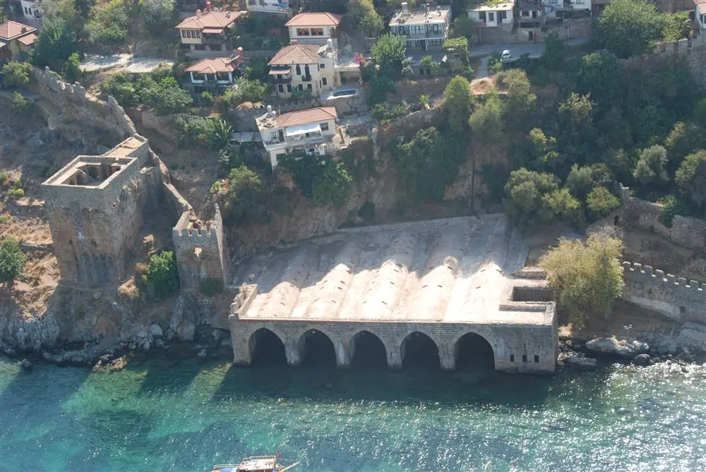
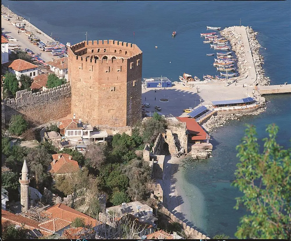
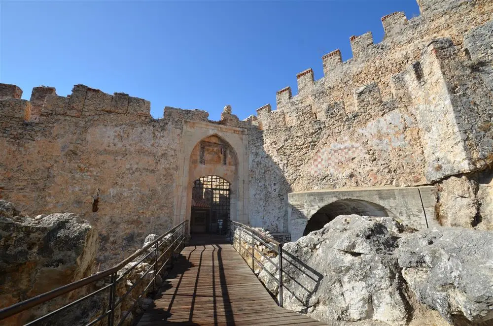
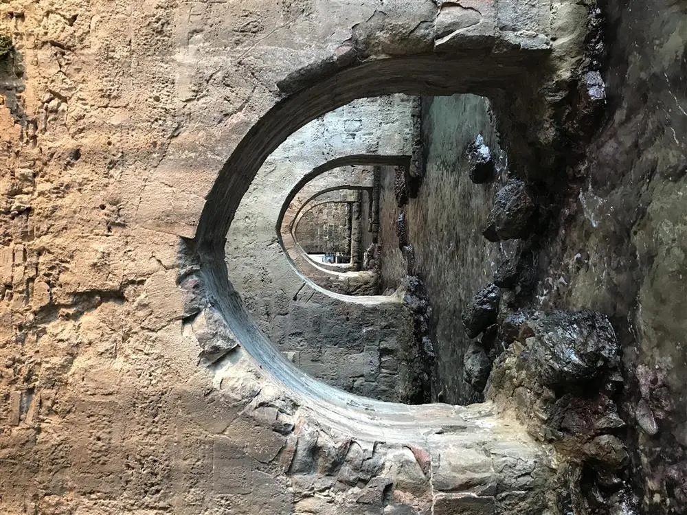
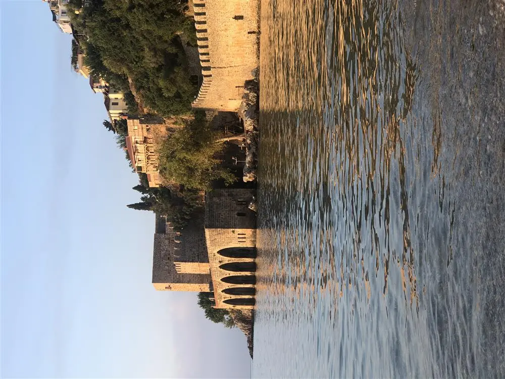
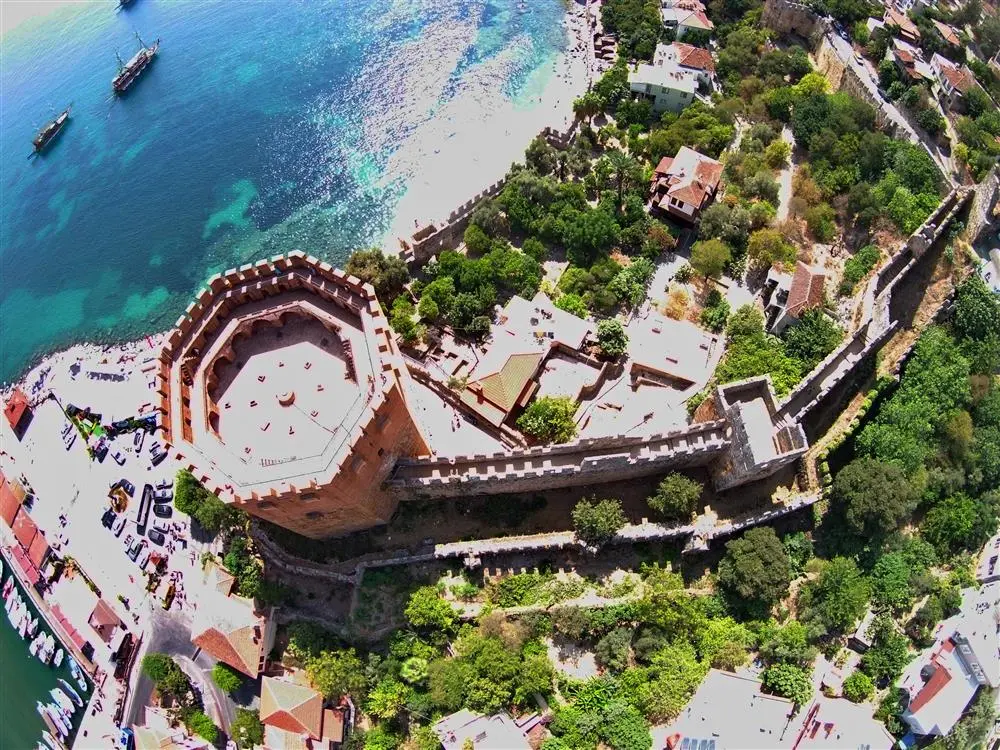
In 1221, Kalonoros was handed over to the Anatolian Seljuk Sultan Alaaddin Keykubat I by Kyr Vart, the owner of the castle, and the name was changed to Alaiye. Alaaddin Keykubat I started a great reconstruction activity, strengthened the old walls, built new walls and gave Alanya its most brilliant period. Today's existing walls, large cisterns, shipyard, Kızılkule, Tophane, and the palace complex in İçkale are some of the works built by Alaaddin. Ehmedek, Akşebe Masjid, Andızlı Mosque, Selçuklu bath, Aşağı Kale bath were also built during the Seljuk period.
With the capture of Alaiye, the Anatolian Seljuk State had a strong fortress on the Mediterranean coast, as well as a strong foothold both at sea and on land. Alaiye reached a special position in the developing domestic, foreign and transit trade.
In the first half of the 14th century, Alaiye ranks among the important cities of Anatolia and the Mediterranean as a leading trade city of the Anatolian Seljuks, an important naval base, a trade and shipbuilding centre with strong relations with Egypt and Syria.
In addition to the Egyptian merchants, who came mainly for the famous cedar wood used in shipbuilding, Genoese, Venetian and Florentine merchants also bought spices, flax and sugar from Alanya. In his book "practura della mercatura", Pegolotti presents a table comparing the weights and measures used in Alanya with Italian weights and measures. Egyptian and Syrian merchants also travelled to the Black Sea ports via Alanya.
Alaiye; With the collapse of the Seljuk state, it fell into the hands of the Kingdom of Cyprus for a short time (1293), after the Karaman and Alaiye Beylik periods, it came under Ottoman rule (1471). Süleymaniye Mosque, bedesten, arasta and traditional Alanya Houses in the Upper Castle are among the artefacts of the Ottoman period. Alaiye was renamed Alanya in accordance with the request of Mustafa Kemal Atatürk who visited the city during the Republican period.
Many local and foreign travellers mention Alanya Castle. In 1332, Ibn-i Batuta stated that the timber here was exported to Alexandria, Dimyat and other Egyptian cities; towards 1650, Katip Çelebi compared Alanya Castle with Baghdad Castle in terms of splendour and stated that cotton, silk and sesame were grown here; In 1671, Evliya Çelebi stated that there were 300 houses in the Middle Fortress, the Süleymaniye Mosque and Akşebe Masjid, a cistern, houses without courtyards, 2 madrasahs, 6 children's schools, 3 inns, 1 bathhouse, 1 fountain and 150 shops in the Lower Fortress, all streets had stairs and transportation was provided by mules and donkeys.
Setton Llyod, in his book Alai'yye, divides Alanya Castle into 5 regions by means of the regions divided by the walls. The first region is in the shape of a crescent with one end at Kızılkule and the other at Tersane; the second region is the sloping part of the hill above the first region; the third region is the region where Ehmedek is located and extends to İçkale; the fourth region is İçkale; the fifth region is the region including Cilvarda cape.
Short Description
A 10-hectare peninsula surrounded by 6 km of ramparts
Korakesion became a pirate port and centre in the second century BC as an ideal refuge for pirates and rebels, thanks to its natural ease of defence even with a small military force and its sheltered harbour. The Hellenistic fortification wall with large block stones and mortar in the part of the Middle Fortress from Arap Evliyası to Ehmedek dates back to the period of Diototos Tryphon, the ruler of the city in the second century BC.

